Elevation of Lick Mountain, Montana, USA
Location: United States > Montana > Augusta >
Longitude: -113.02867
Latitude: 47.849112
Elevation: 2282m / 7487feet
Barometric Pressure: 77KPa
Elevation Map:
Satellite Map:
Related Photos:
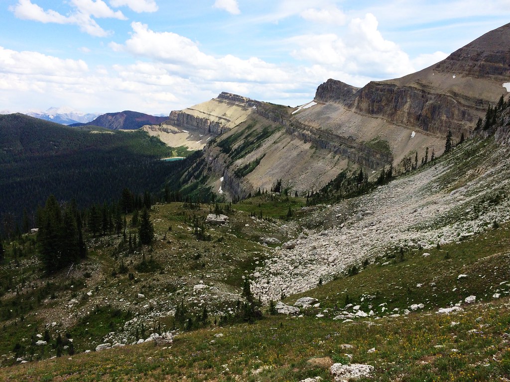
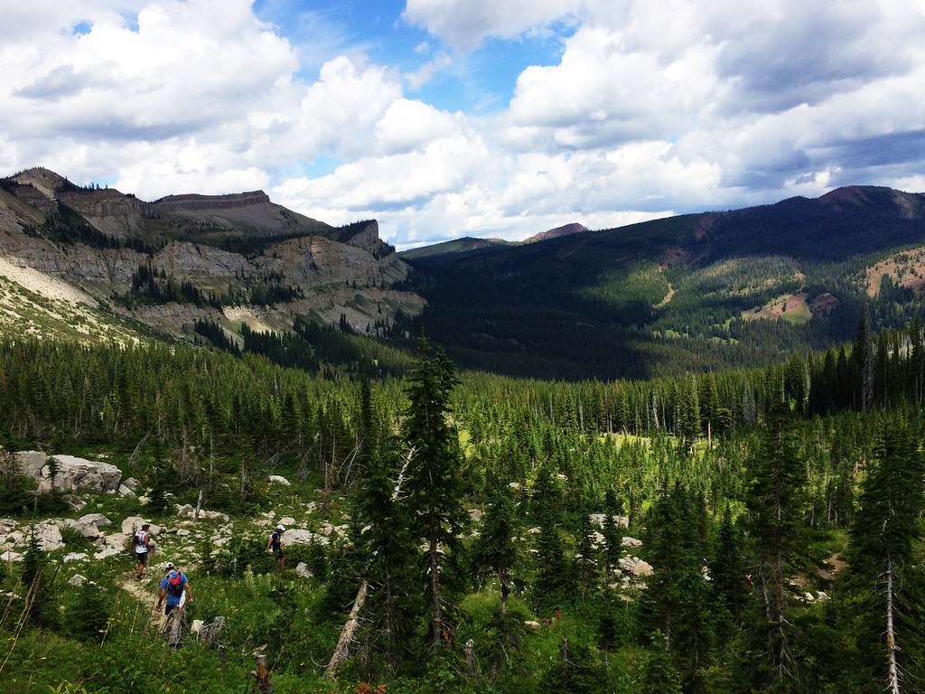
Along the North Wall during the 53-mile Run Across The Bob
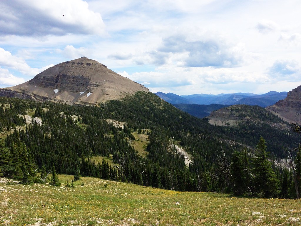
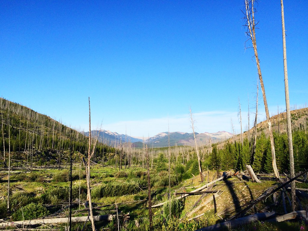
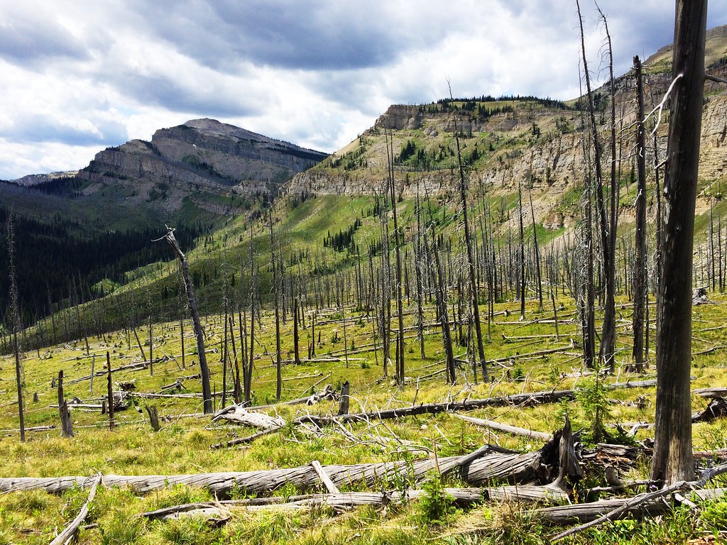
Up Switchback Pass during the 53-mile Run Across The Bob
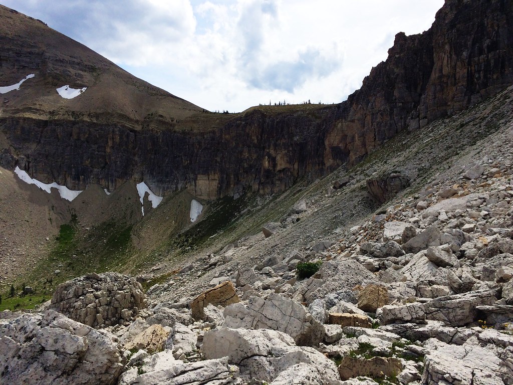
Up Switchback Pass during the 53-mile Run Across The Bob
Up Switchback Pass during the 53-mile Run Across The Bob
Up Switchback Pass during the 53-mile Run Across The Bob
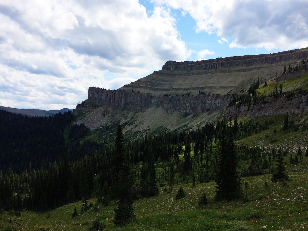
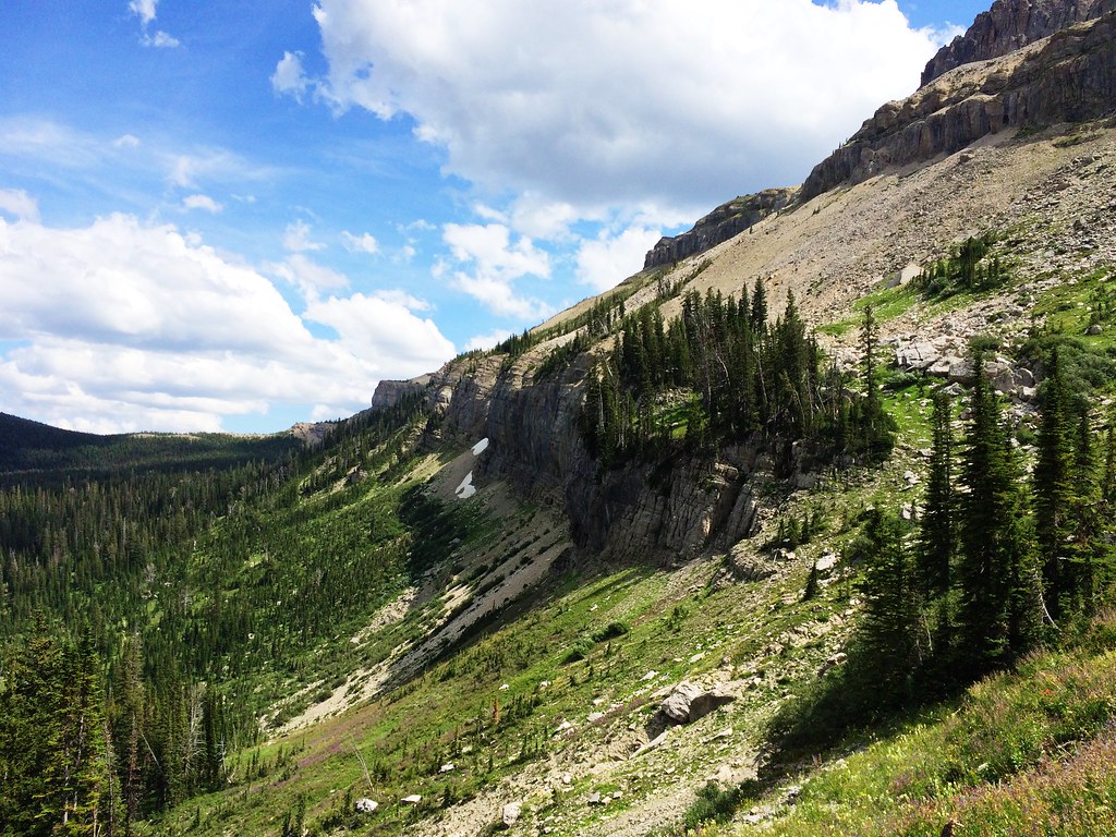
Along the North Wall during the 53-mile Run Across The Bob
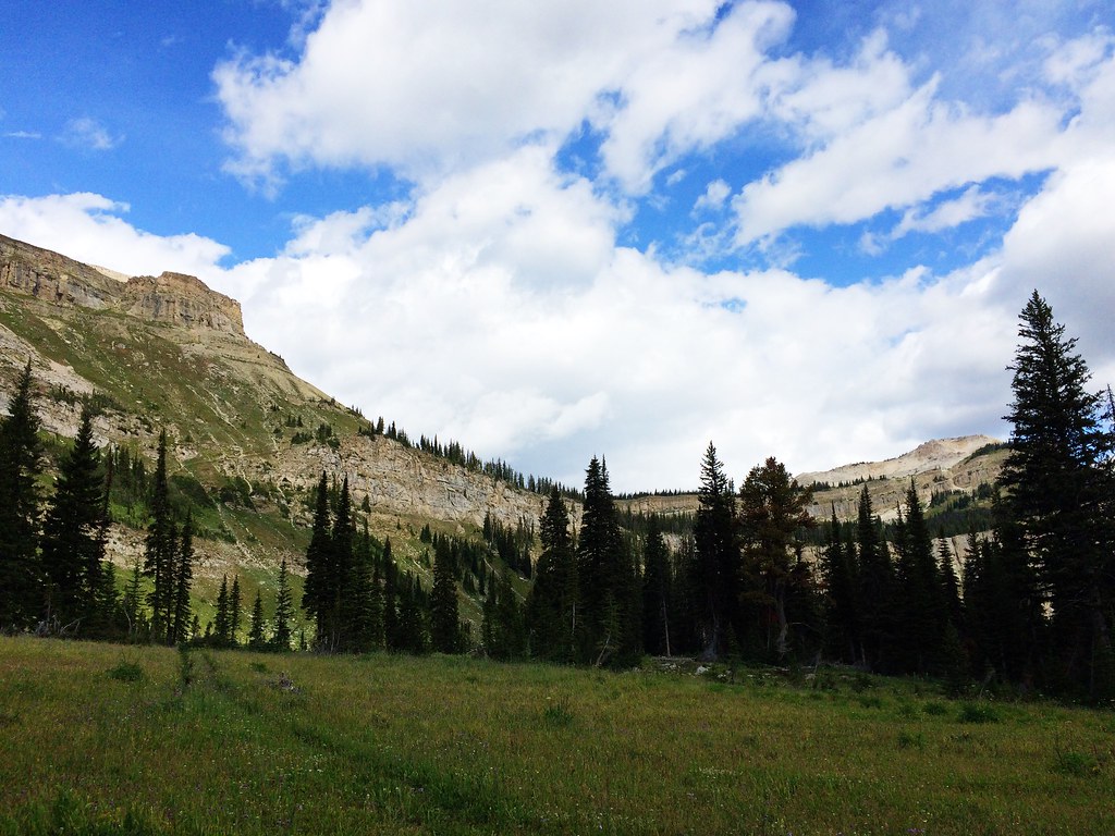
Along the North Wall during the 53-mile Run Across The Bob

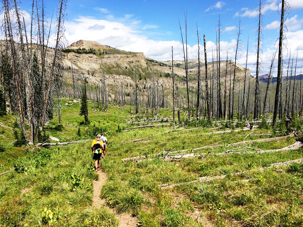
Along the North Wall during the 53-mile Run Across The Bob
Along the North Wall during the 53-mile Run Across The Bob
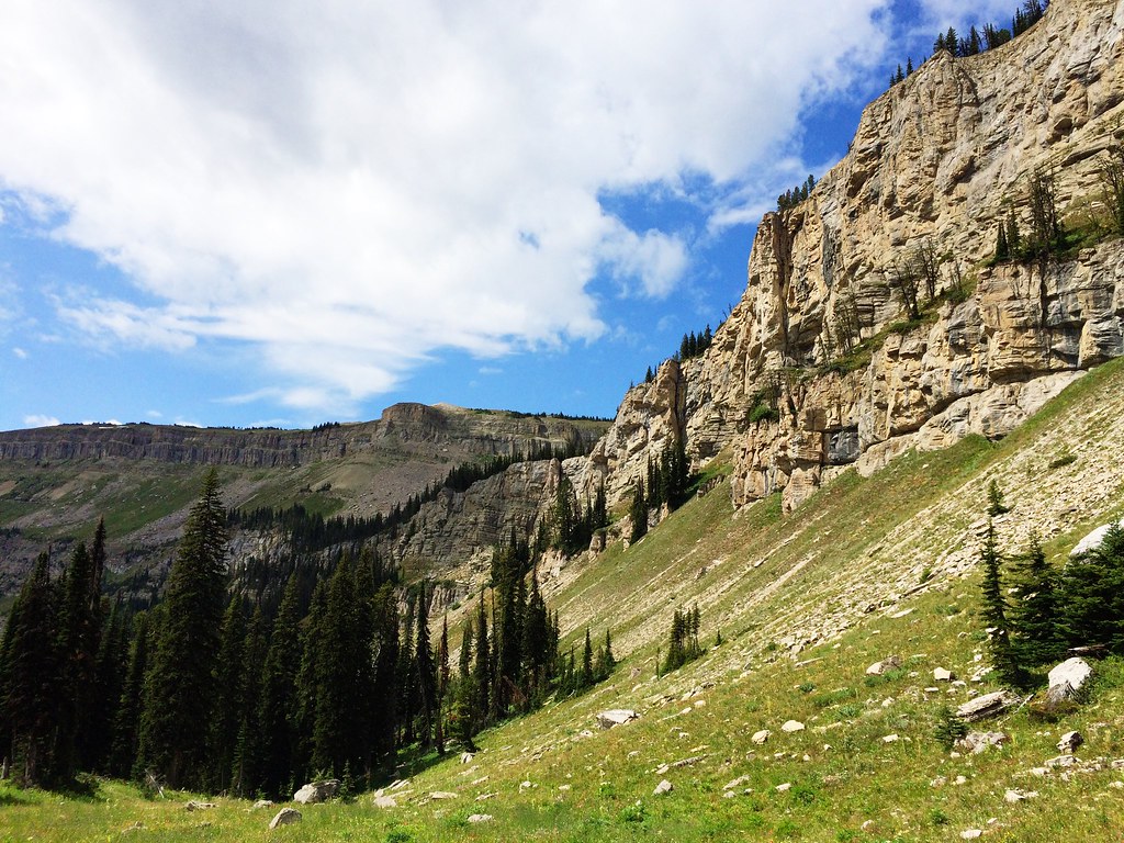
Along the North Wall during the 53-mile Run Across The Bob
Sunrise on Headquarters Pass during the 53-mile Run Across The Bob
Along the North Wall during the 53-mile Run Across The Bob
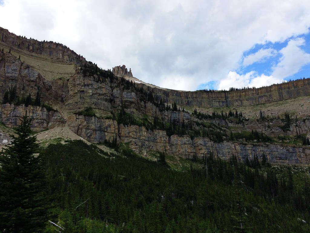
Along the North Wall during the 53-mile Run Across The Bob
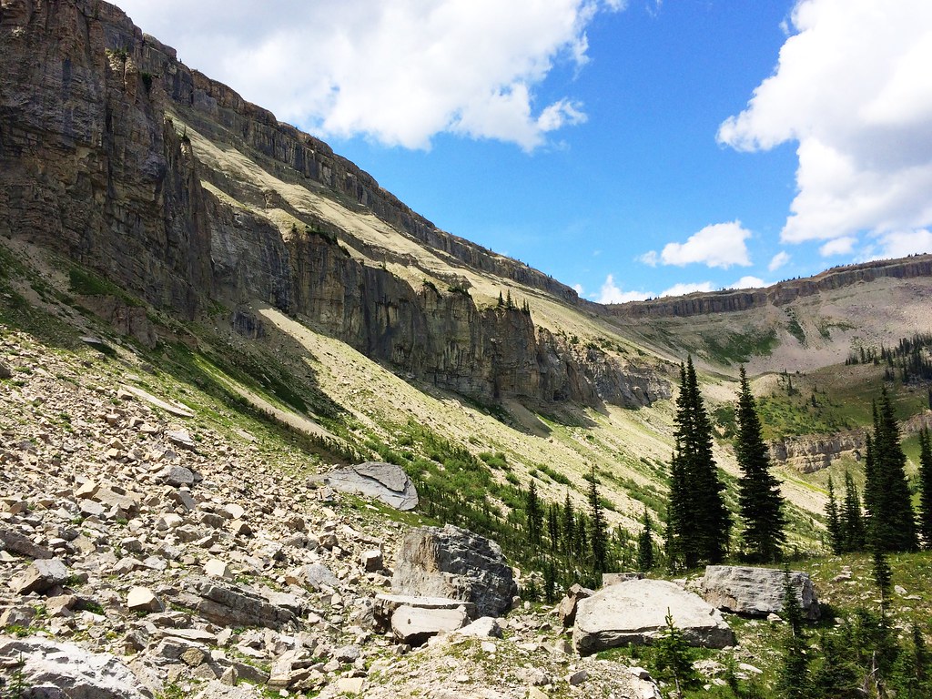
Along the North Wall during the 53-mile Run Across The Bob
Topographic Map of Lick Mountain, Montana, USA
Find elevation by address:

Places near Lick Mountain, Montana, USA:
Moonlight Peak
Hahn Peak
Signal Mountain
Angle Point
Kevan Mountain
Bow Mountain
Porphyry Reef
Wapiti Ridge South
Mount May
Wapiti Ridge North
Wrong Ridge
Washboard Reef
Ibex Mountain
Teton Peak
Mount Lockhart
Bighorn Mountain
Corrugate Ridge
Limestone Peak
Elk Ridge
Mount Patrick Gass
Recent Searches:
- Elevation of Corso Fratelli Cairoli, 35, Macerata MC, Italy
- Elevation of Tallevast Rd, Sarasota, FL, USA
- Elevation of 4th St E, Sonoma, CA, USA
- Elevation of Black Hollow Rd, Pennsdale, PA, USA
- Elevation of Oakland Ave, Williamsport, PA, USA
- Elevation of Pedrógão Grande, Portugal
- Elevation of Klee Dr, Martinsburg, WV, USA
- Elevation of Via Roma, Pieranica CR, Italy
- Elevation of Tavkvetili Mountain, Georgia
- Elevation of Hartfords Bluff Cir, Mt Pleasant, SC, USA