Elevation of Libjo, Tiwi, Albay, Philippines
Location: Philippines > Bicol > Albay > Tiwi >
Longitude: 123.672816
Latitude: 13.4593808
Elevation: 17m / 56feet
Barometric Pressure: 101KPa
Elevation Map:
Satellite Map:
Related Photos:

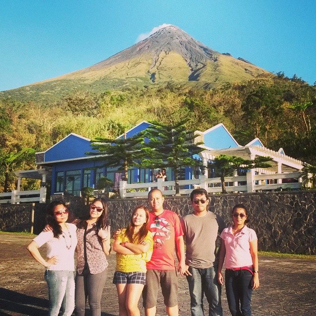
Mayon Volcano

Pano seaview Tiwi Albay

The morning view. Got to see it beautiful again. Off to Virac, Catanduanes. : : : : : #itsMoreFunInThePhilippines #travelphilippines #Phil_Spots #govisitphilippines #ChoosePhilippines #BestVacations #ComeSeePh #GrammerPH #SinoPinas #grammerworld #TravelA

Although the weather did not cooperate, we were still able to witness the beauty of Caramoan. Thank God for Your amazing wonders! :) #TBBicol2015 #PostTravelSyndrome #Caramoan #CamSur #Bicol #Philippines #travel #islandlife #adventure

Mayon Volcano

Tabaco National High Schoool, Albay (Panorama)

20150612_075231000_iOS.jpg

20150612_074947000_iOS.jpg
#HelloMayonVolcano #BiglangVacation

San Miguel Island

siramsana flowers

Sunrise at bayungan

Perfect cone-shaped
Topographic Map of Libjo, Tiwi, Albay, Philippines
Find elevation by address:

Places near Libjo, Tiwi, Albay, Philippines:
Tiwi
Joroan
Mount Malinao
San Carlos
Tayhi (pob.)
Pawa
Dap-dap
Bacolod
Cormidal
San Antonio
Lcc Mall Tabaco
Meaco Royal Hotel - Tabaco
Divino Rostro
Santo Cristo
Fatima
San Lorenzo
Tabaco City
Tabaco City
Malilipot Police Station
Barangay 4
Recent Searches:
- Elevation of Vista Blvd, Sparks, NV, USA
- Elevation of 15th Ave SE, St. Petersburg, FL, USA
- Elevation of Beall Road, Beall Rd, Florida, USA
- Elevation of Leguwa, Nepal
- Elevation of County Rd, Enterprise, AL, USA
- Elevation of Kolchuginsky District, Vladimir Oblast, Russia
- Elevation of Shustino, Vladimir Oblast, Russia
- Elevation of Lampiasi St, Sarasota, FL, USA
- Elevation of Elwyn Dr, Roanoke Rapids, NC, USA
- Elevation of Congressional Dr, Stevensville, MD, USA