Elevation of Liberty Township, OH, USA
Location: United States > Ohio > Fairfield County >
Longitude: -82.626734
Latitude: 39.8905266
Elevation: 293m / 961feet
Barometric Pressure: 98KPa
Elevation Map:
Satellite Map:
Related Photos:

What a bright morning!
Hartman Bridge No. 2
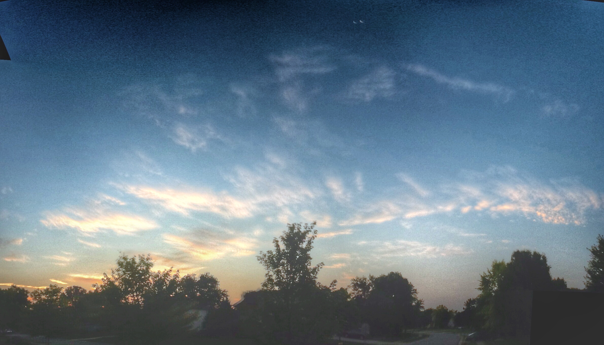
Skies over Ohio
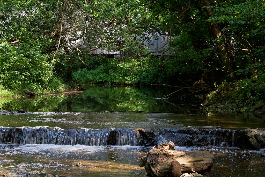
Sycamore Creek & Zeller-Smith Covered Bridge

Front view

The Bungalow

american kestrel
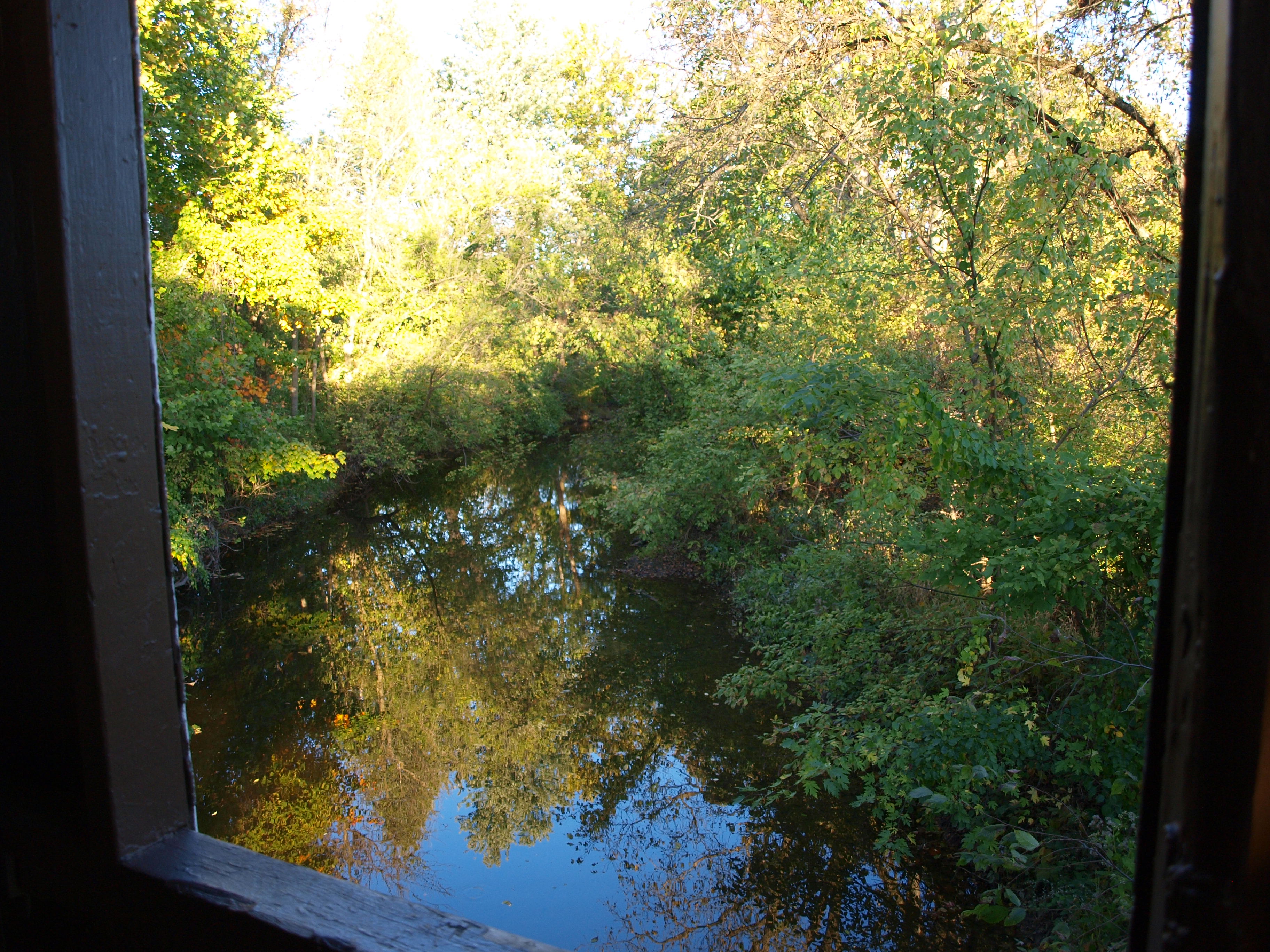
Zeller-Smith Covered Bridge, creek view from window, Fairfield County, Ohio
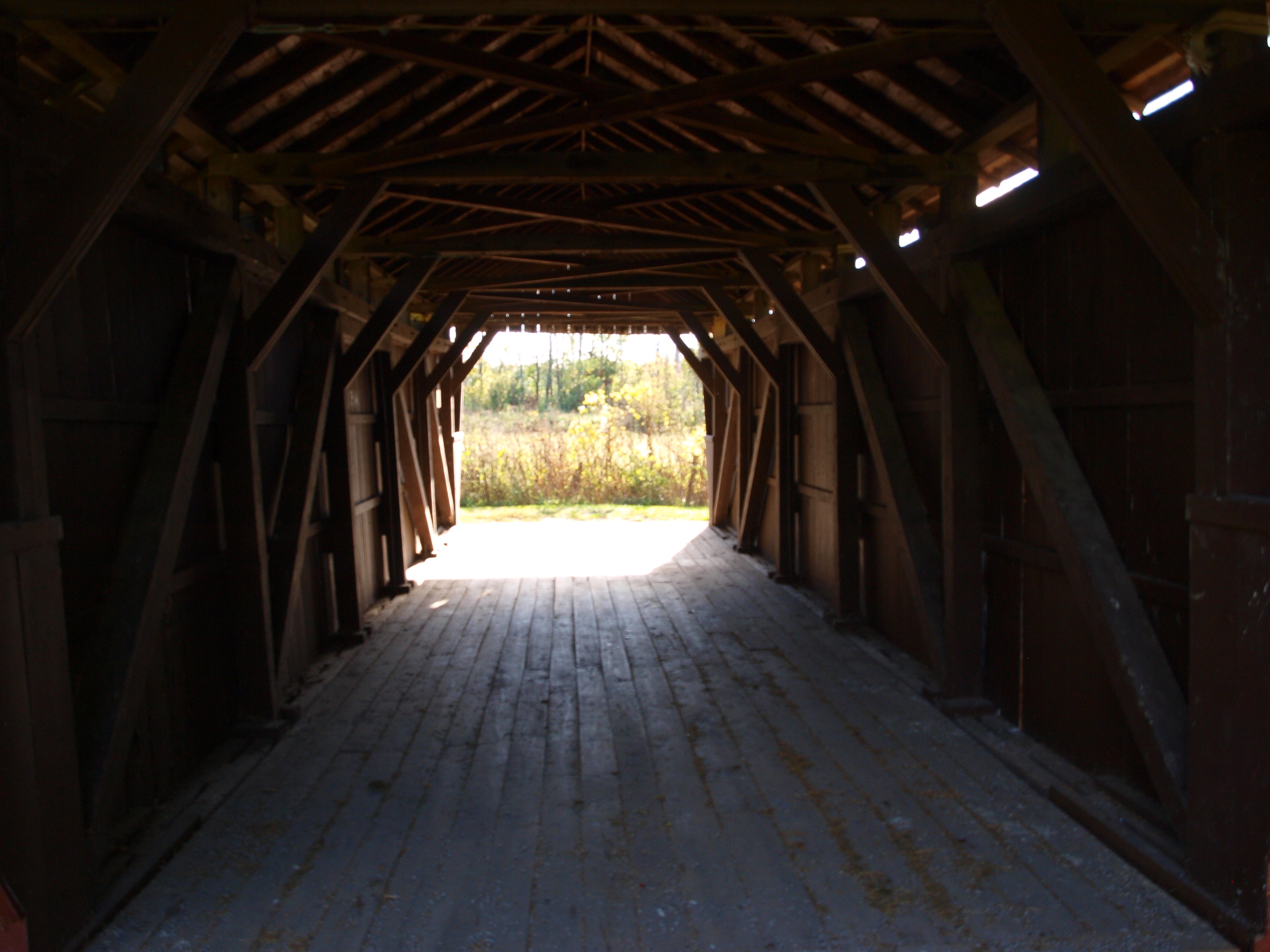
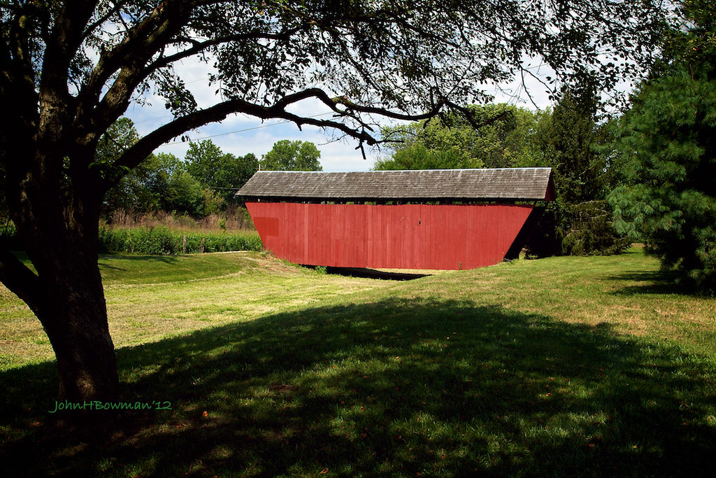
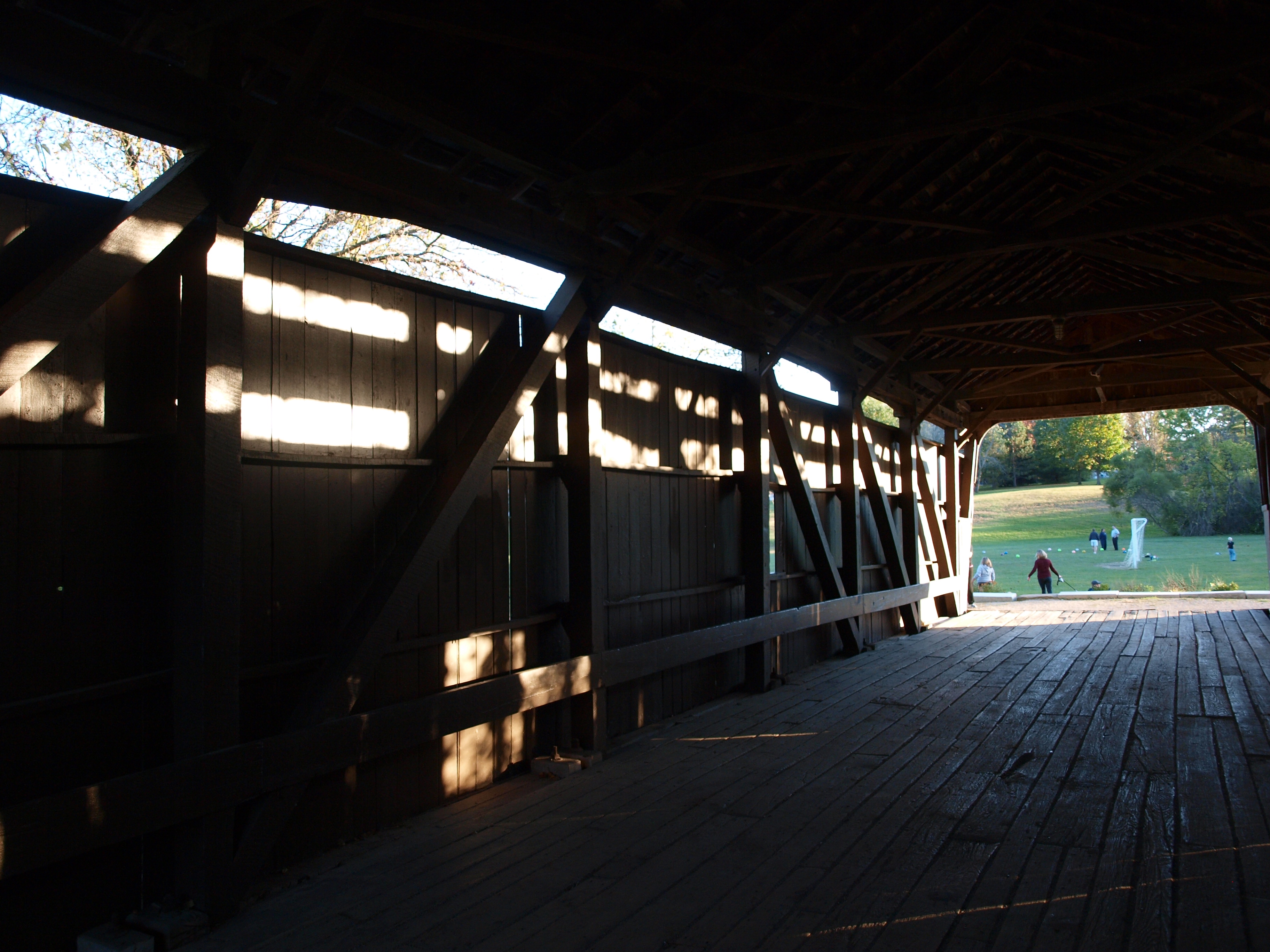
Hartman #2 Covered Bridge, barrel view, Fairfield County, Ohio
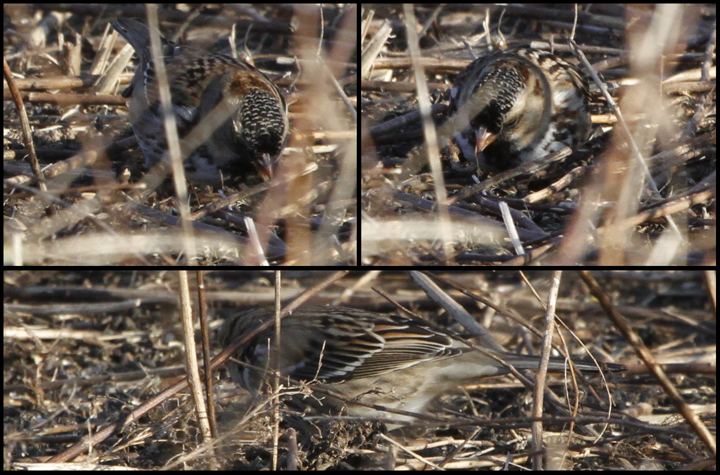
Harris's Sparrow
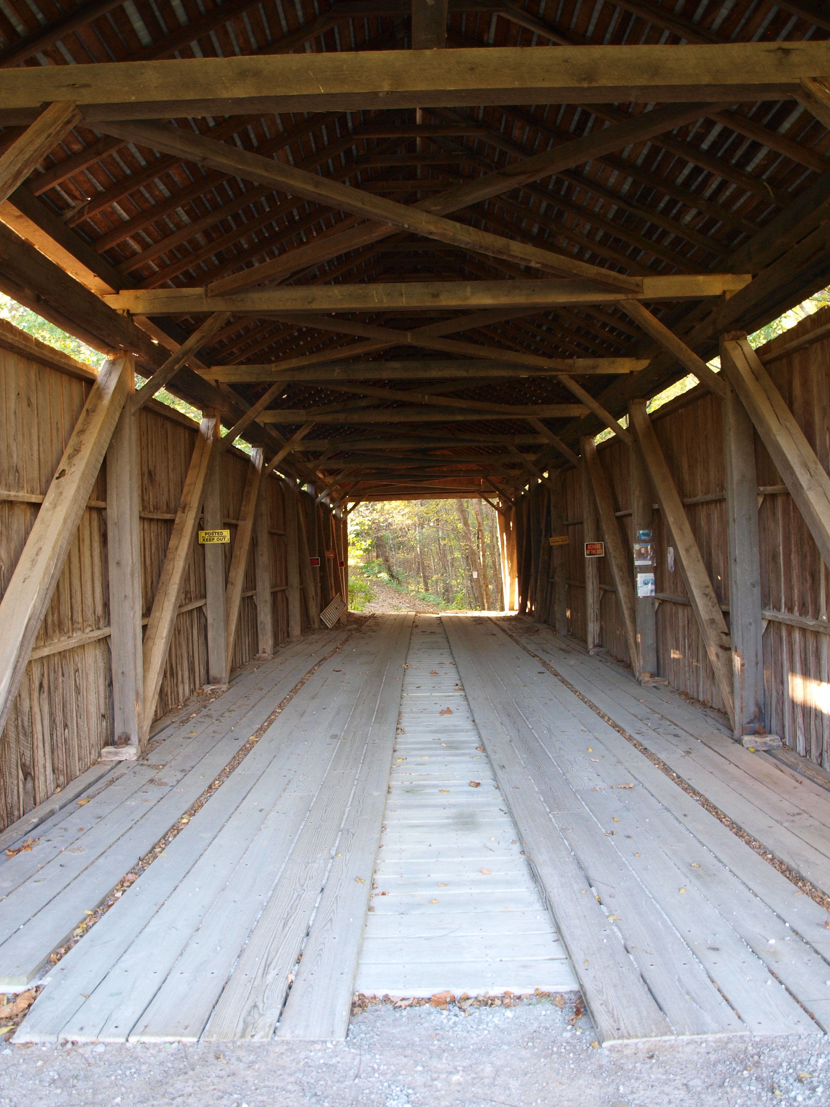
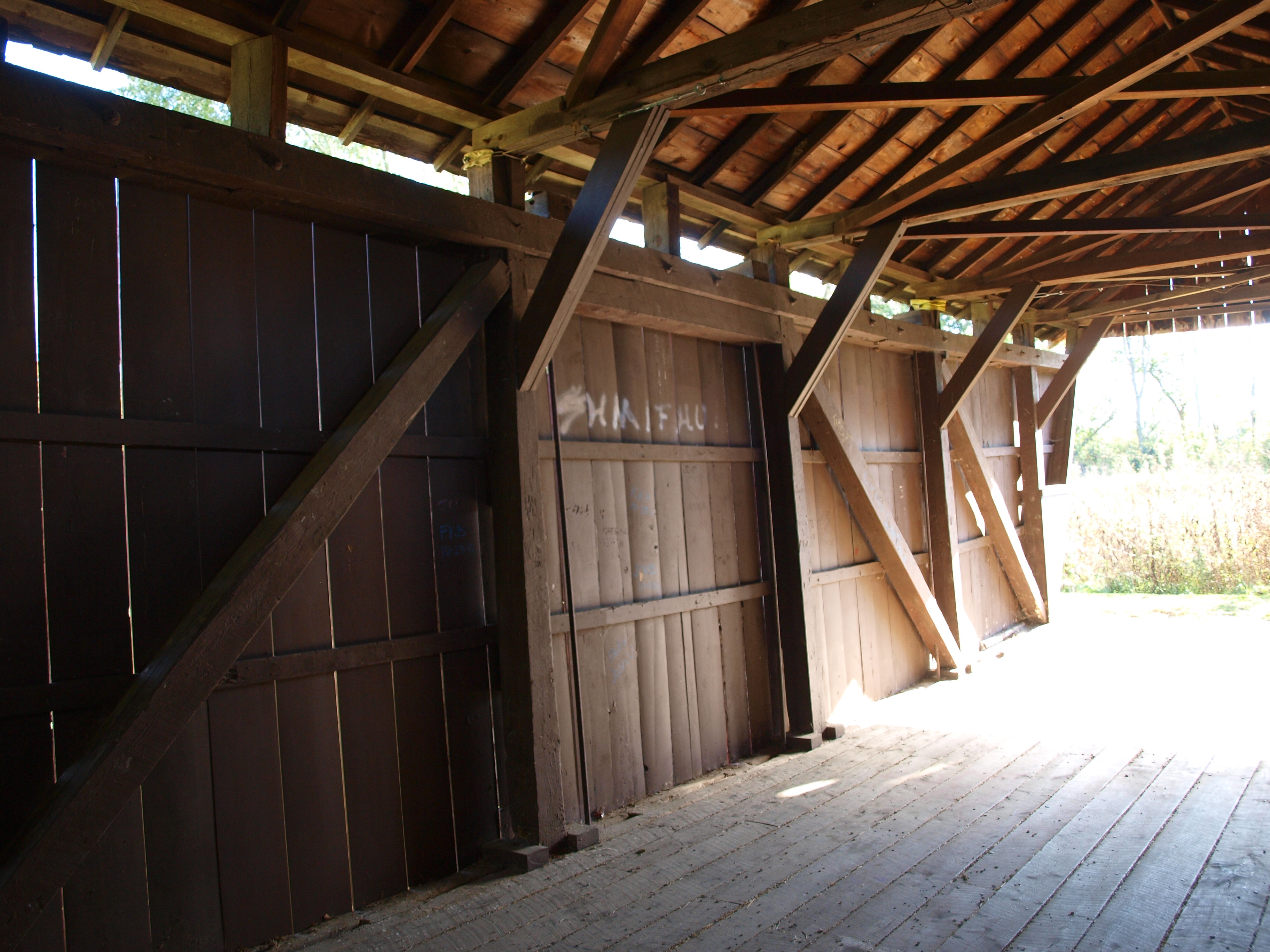
Hizey Covered Bridge, barrel view, Fairfield County, Ohio
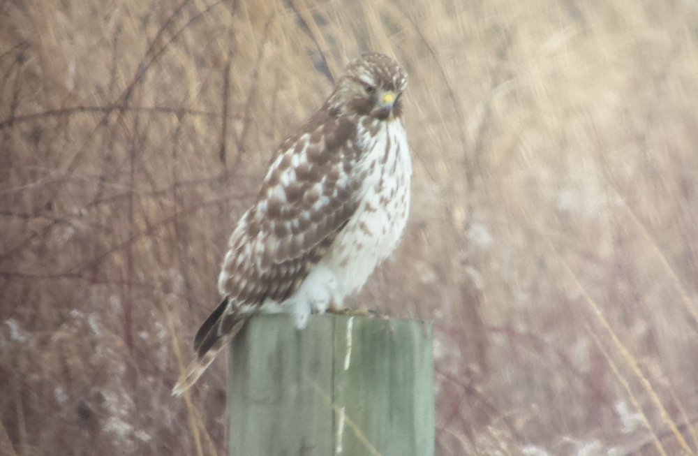
Red-Shouldered Hawk

Northern Shrike
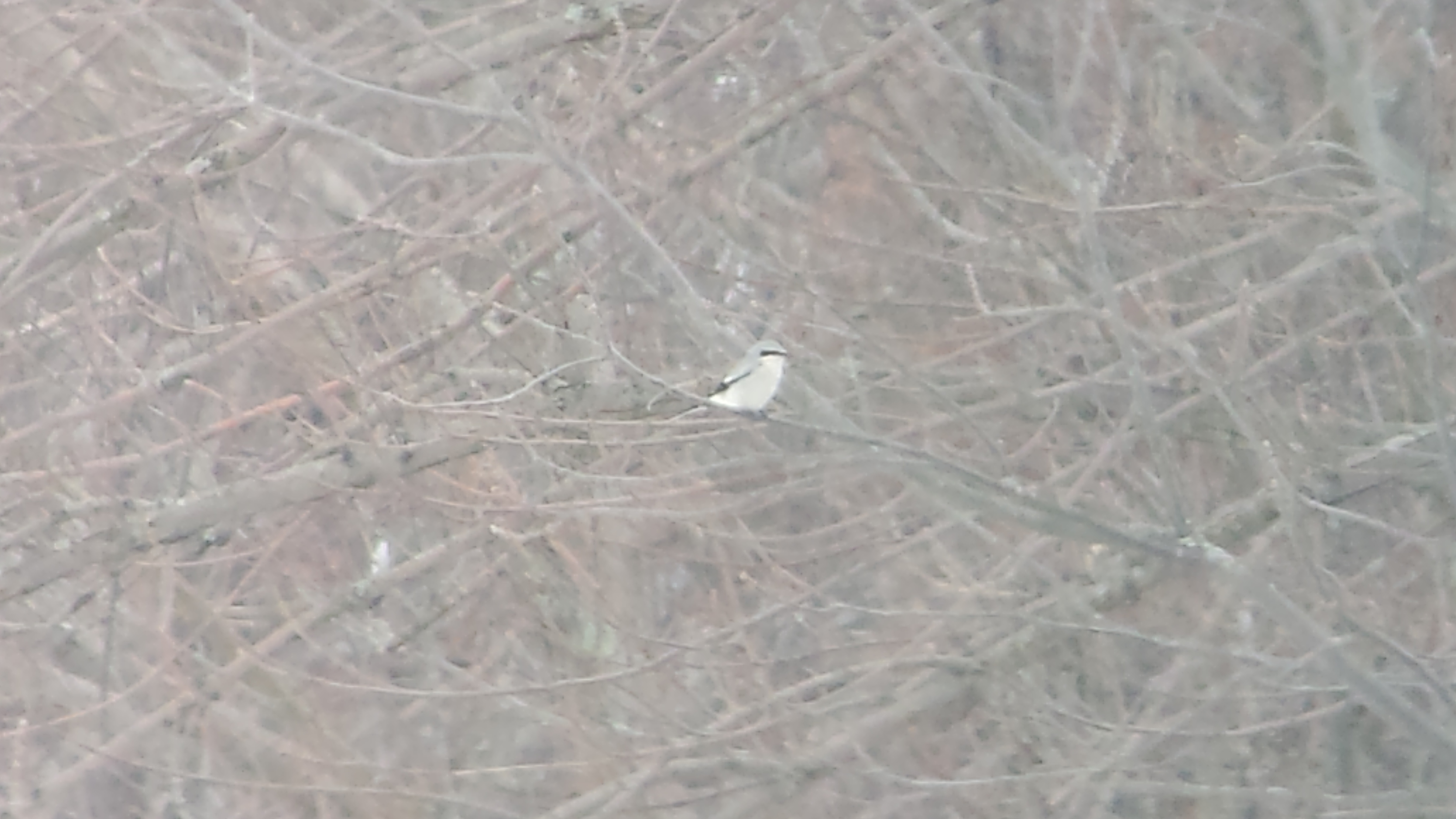
Northern Shrike

Barn Owl

Son of Liberty
Zeller-Smith Covered Bridge, truss view, Fairfield County, Ohio
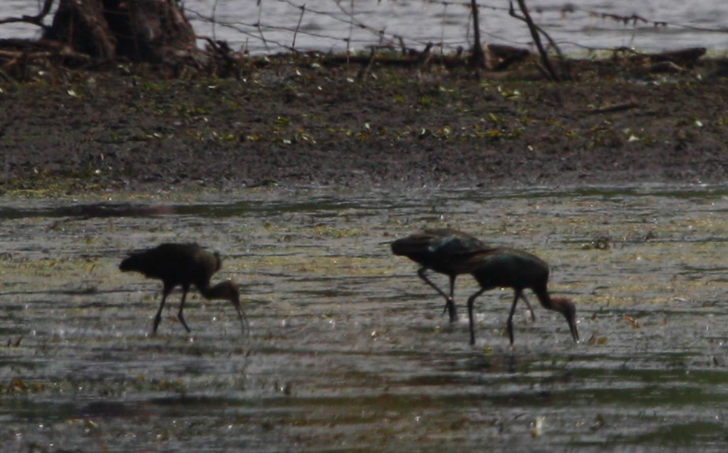
1 White-faced Ibis (Plegadis chihi) & 2 Plegadis sp.
Hartman #2 Covered Bridge, truss view, Fairfield County, Ohio
Barn Owl
Barn Owl viewing location

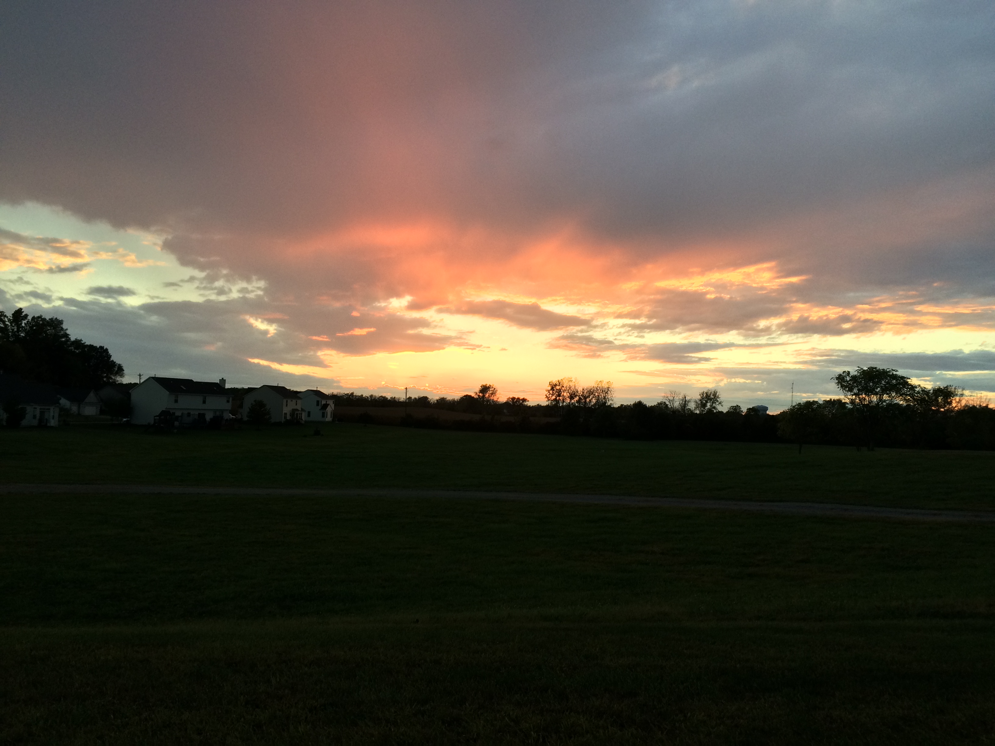
Sunset on Courter Rd, Pataskala, OH.

Abandoned house near Foundation Park
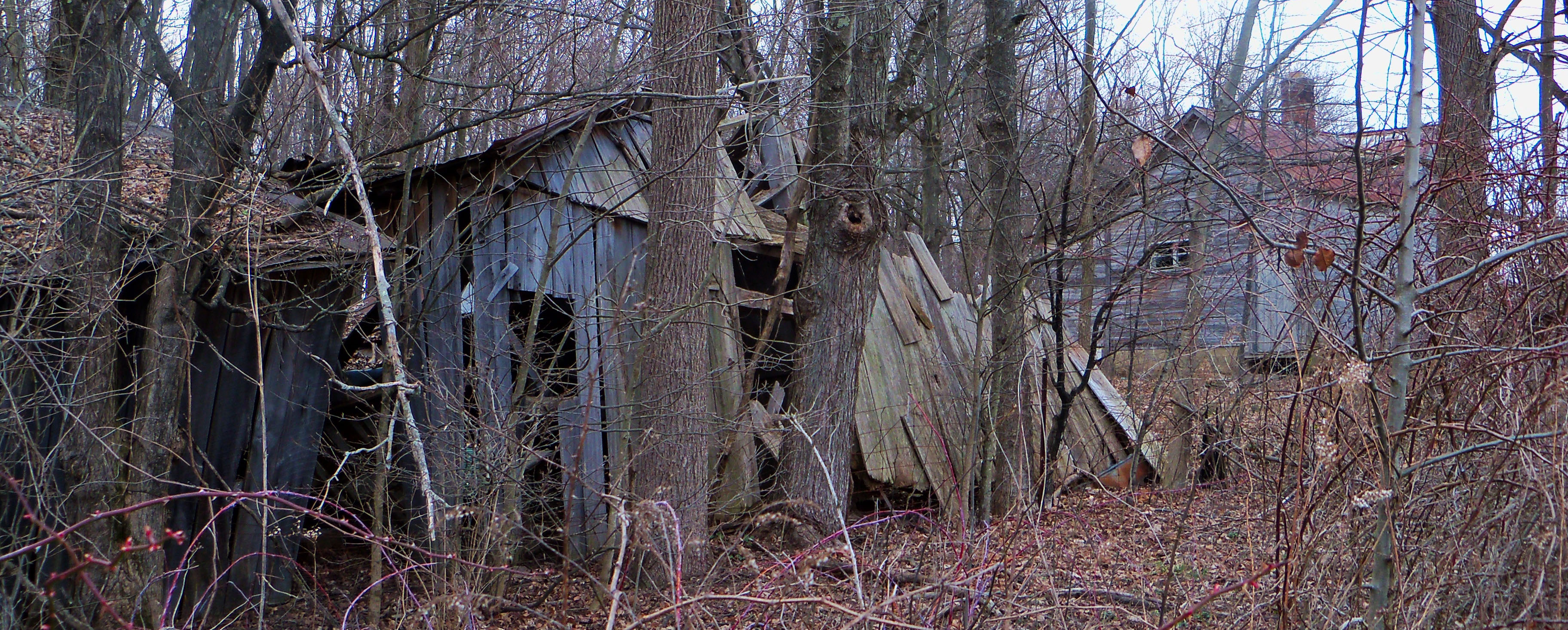
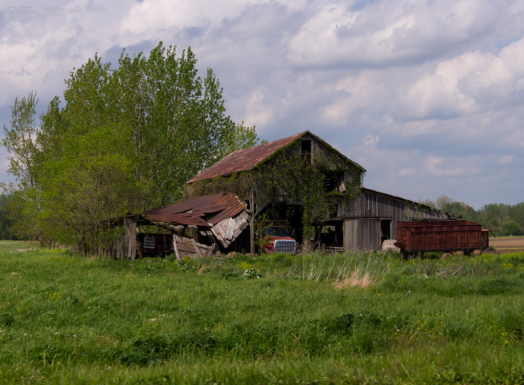
Abandoned farmhouse.

Blacklick Woods

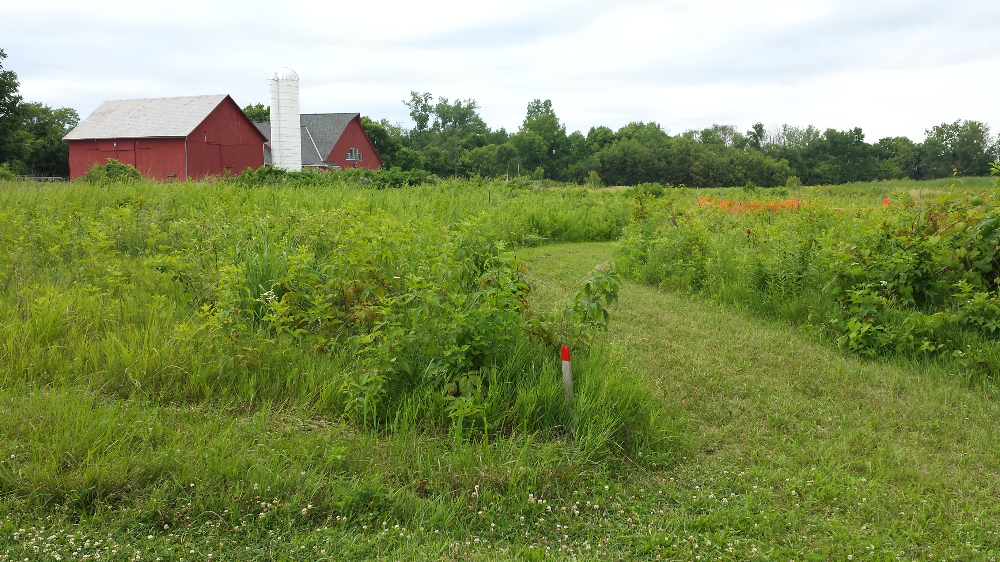
The Meadow
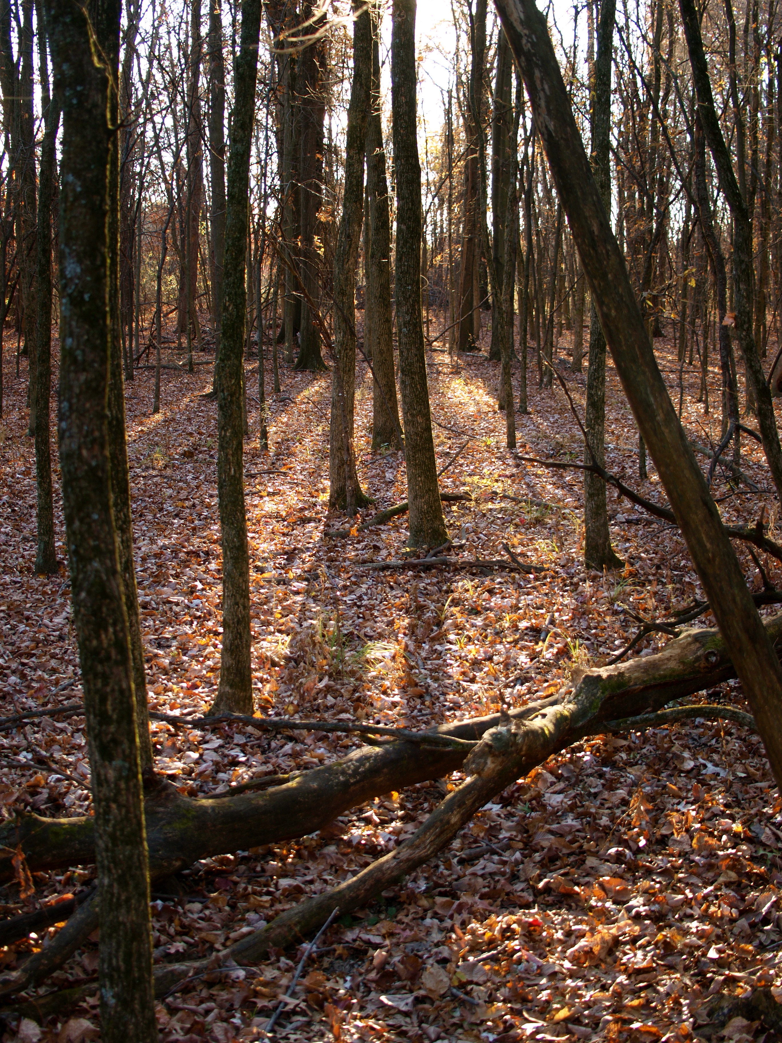
Blacklick Woods
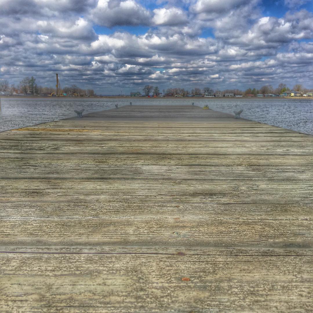
The Dock @ Buckeye Lake State Park. Oldest state park in Ohio! #sky #beautiful #nature #beach #pretty #clouds #water #amazing #light #day #sunshine #lake #colorful #cold #cloudporn #island #springbreak #cloudy #landscape_lovers #Ohio #Eav #EAvIG #buckeye

Ohio Skies
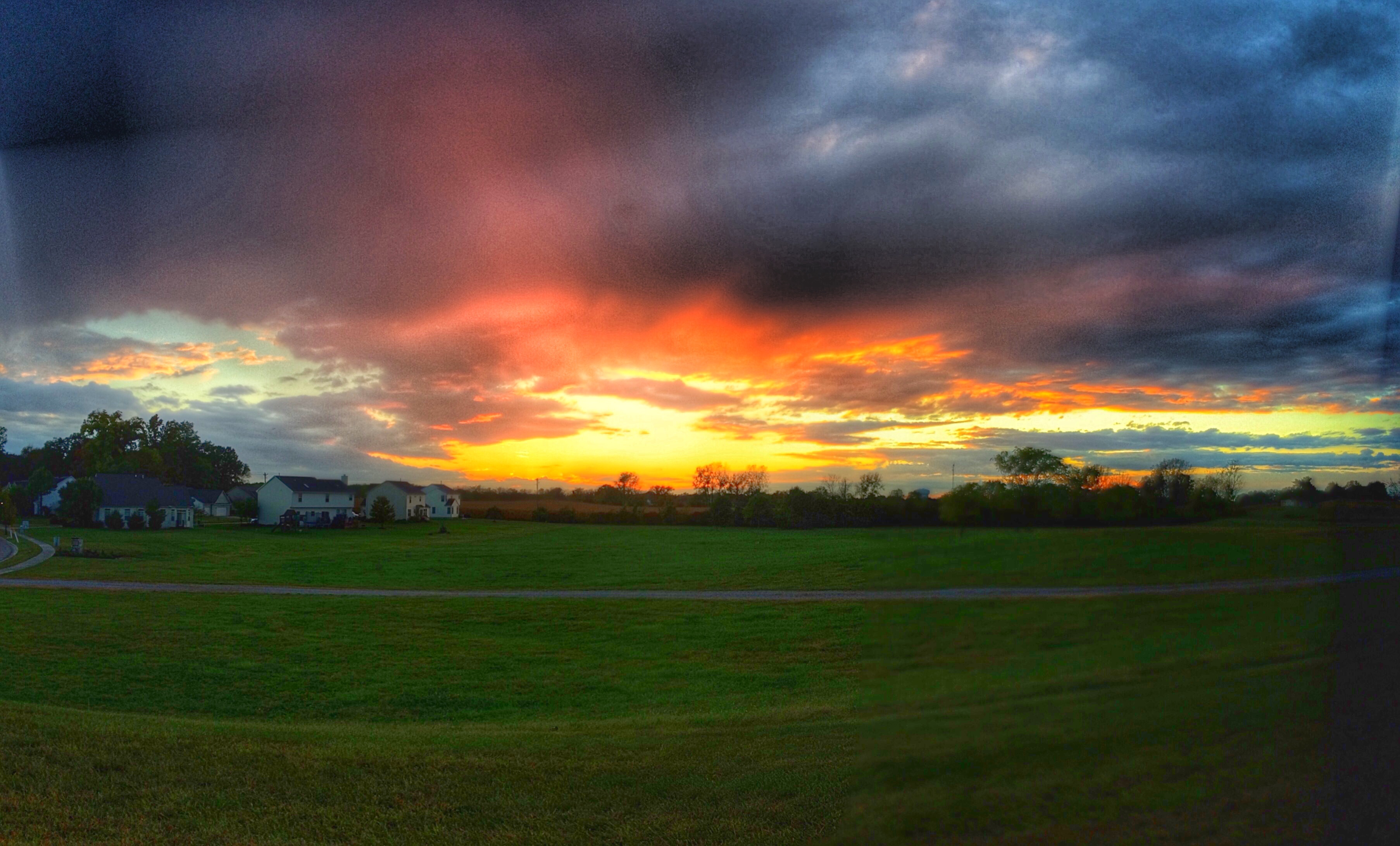
Good evening ohio
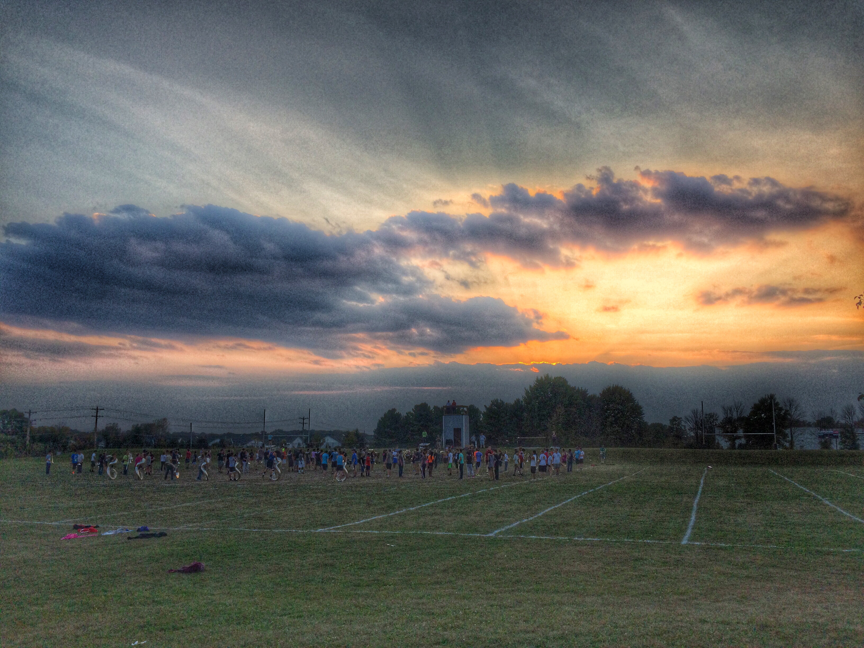
One evening at band practice
THE_BIG_LEBOWSKI_Title_01_01_Chapter_20_00001.jpg

Beautiful sunrise

beautiful sunrise
Ohio Skies

.
DSC00036.jpg
plant HDR
285452449820216475_365489820140419-29841-q0o602
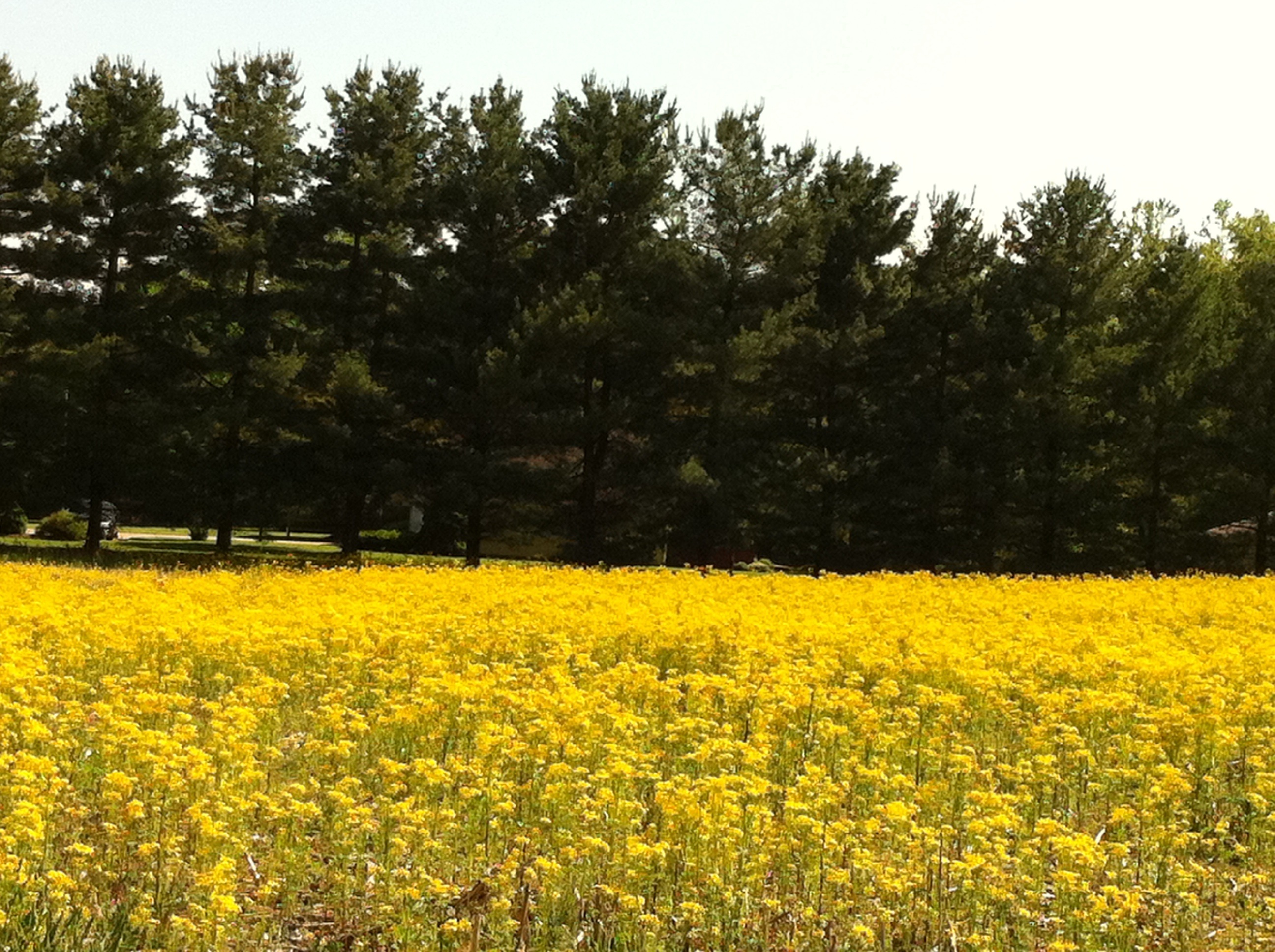
golden rod -marilyn
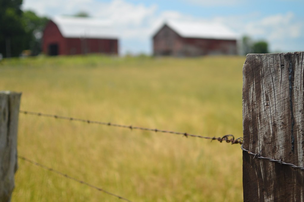
fence line
Topographic Map of Liberty Township, OH, USA
Find elevation by address:

Places in Liberty Township, OH, USA:
Places near Liberty Township, OH, USA:
1301 W Market St
111 S Basil St
Fairfield County
Carroll
7920 Bennington Ave Nw
Bennington Avenue Northwest
Pickerington
High St NW, Carroll, OH, USA
Violet Township
Pickerington Rd, Carroll, OH, USA
398 Rambling Brook Dr
8272 Woodstream Dr
419 Sycamore Creek St
220 Marie Ave
Fox Glen Drive East
1934 Coldspring Dr
172 Leasure Dr
1125 Zimmer St
Bloom Township
3395 Amanda Northern Rd Nw
Recent Searches:
- Elevation of Redondo Ave, Long Beach, CA, USA
- Elevation of Sadovaya Ulitsa, 20, Rezh, Sverdlovskaya oblast', Russia
- Elevation of Ulitsa Kalinina, 79, Rezh, Sverdlovskaya oblast', Russia
- Elevation of 72-31 Metropolitan Ave, Middle Village, NY, USA
- Elevation of 76 Metropolitan Ave, Brooklyn, NY, USA
- Elevation of Alisal Rd, Solvang, CA, USA
- Elevation of Vista Blvd, Sparks, NV, USA
- Elevation of 15th Ave SE, St. Petersburg, FL, USA
- Elevation of Beall Road, Beall Rd, Florida, USA
- Elevation of Leguwa, Nepal