Elevation of Liberty Township, MO, USA
Location: United States > Missouri > Barry County >
Longitude: -94.008256
Latitude: 36.6931491
Elevation: 442m / 1450feet
Barometric Pressure: 96KPa
Elevation Map:
Satellite Map:
Related Photos:

Old Skelly Gas Station 2
School's Out

Butterfield, Missouri in 1939
Exeter Texaco-Side View
Exeter Standard II
Exeter Texaco-Rear View
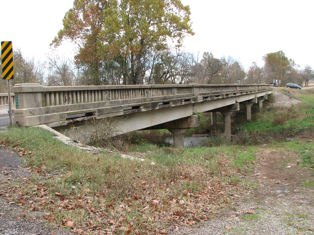
Shoal Creek-Side View

AM 44 North @ Washburn, MO
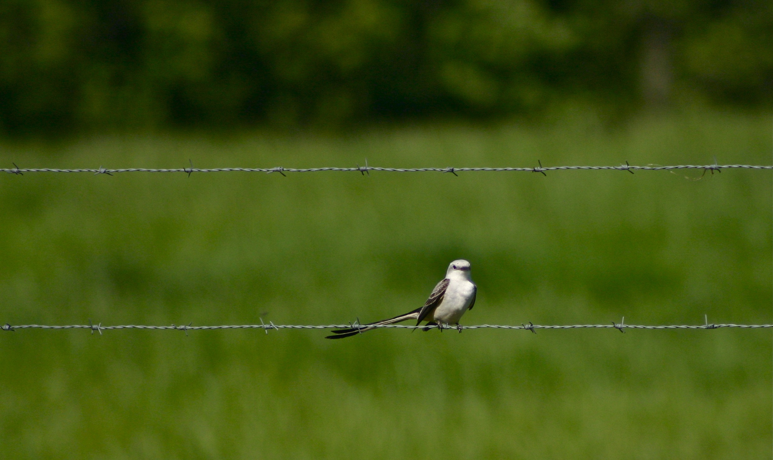
Bird on a wire
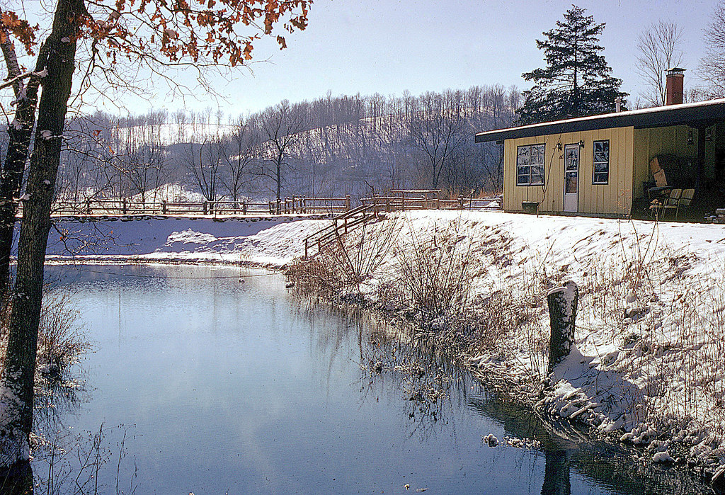
Looking South
Topographic Map of Liberty Township, MO, USA
Find elevation by address:

Places in Liberty Township, MO, USA:
Places near Liberty Township, MO, USA:
State Hwy W, Purdy, MO, USA
Mineral Springs Road District
Richwood Township
339 State Hwy 90
Cassville
Franklin Township
7483 Mo-37
Flat Creek Township
29999 Mulberry Rd
Barry County
14093 Farm Rd 2200
Monett Township
15132 Fr 1155
Fairway Apartments
14238 Fr 2110
15628 Turney Ln
Lai Lai Asian Buffet And Dining
401 Frisco Ave
Mcdowell Township
Stark City
Recent Searches:
- Elevation of Corso Fratelli Cairoli, 35, Macerata MC, Italy
- Elevation of Tallevast Rd, Sarasota, FL, USA
- Elevation of 4th St E, Sonoma, CA, USA
- Elevation of Black Hollow Rd, Pennsdale, PA, USA
- Elevation of Oakland Ave, Williamsport, PA, USA
- Elevation of Pedrógão Grande, Portugal
- Elevation of Klee Dr, Martinsburg, WV, USA
- Elevation of Via Roma, Pieranica CR, Italy
- Elevation of Tavkvetili Mountain, Georgia
- Elevation of Hartfords Bluff Cir, Mt Pleasant, SC, USA