Elevation of Liberty Church Road & Parker Hill Road, Liberty Church Rd & Parker Hill Rd, Georgia, USA
Location: United States > Georgia > Wilkinson County >
Longitude: -83.141833
Latitude: 32.8853328
Elevation: 141m / 463feet
Barometric Pressure: 100KPa
Elevation Map:
Satellite Map:
Related Photos:

Managed Tree Plantation
EGDR20121021006.jpg
EGDR20121021005.jpg
Maintenance of way Flat Cars
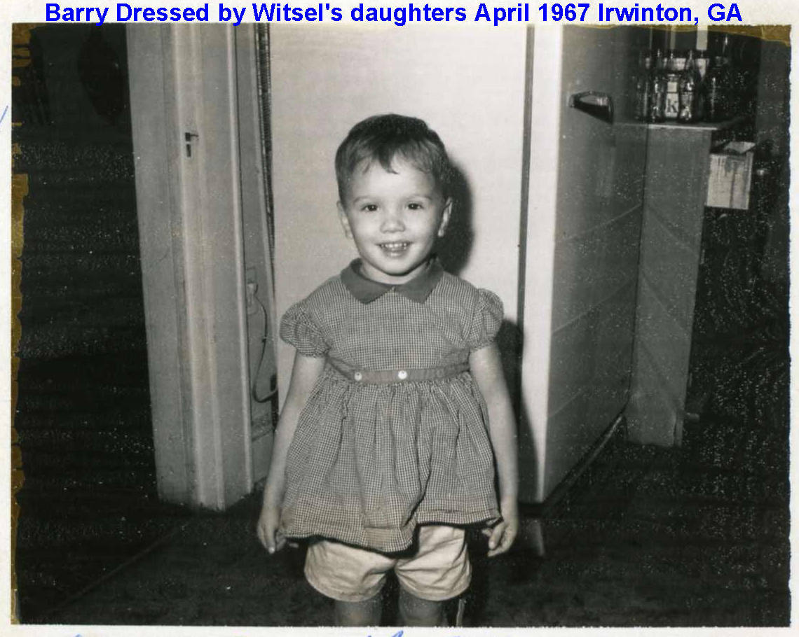
1967-04-01
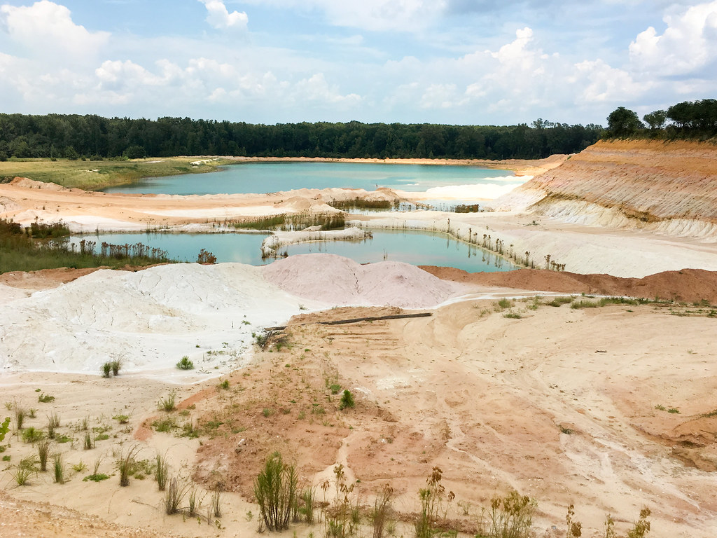
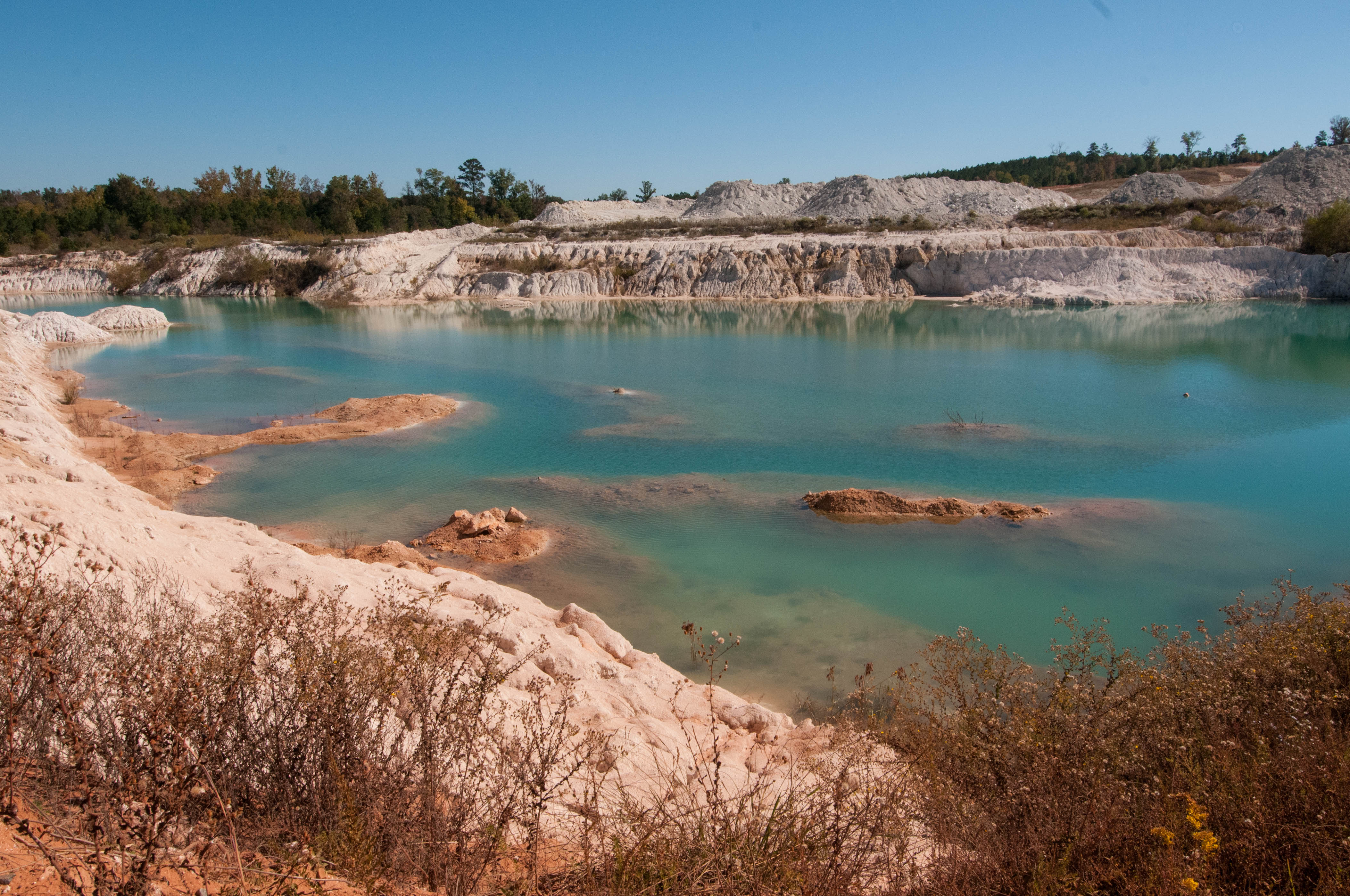
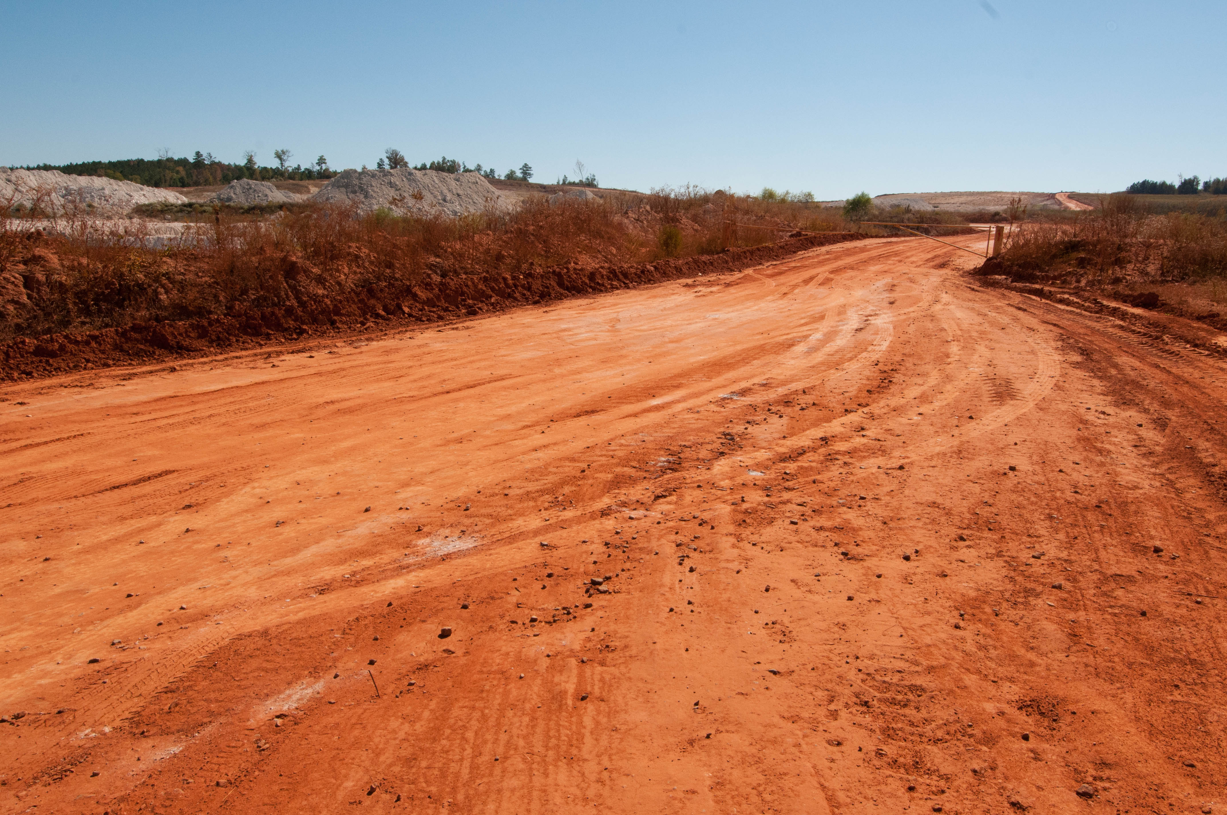
Kaolin (White Dirt) Mine, Georgia
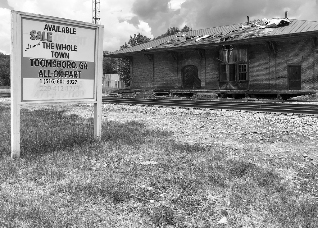
Toomsboro, GA
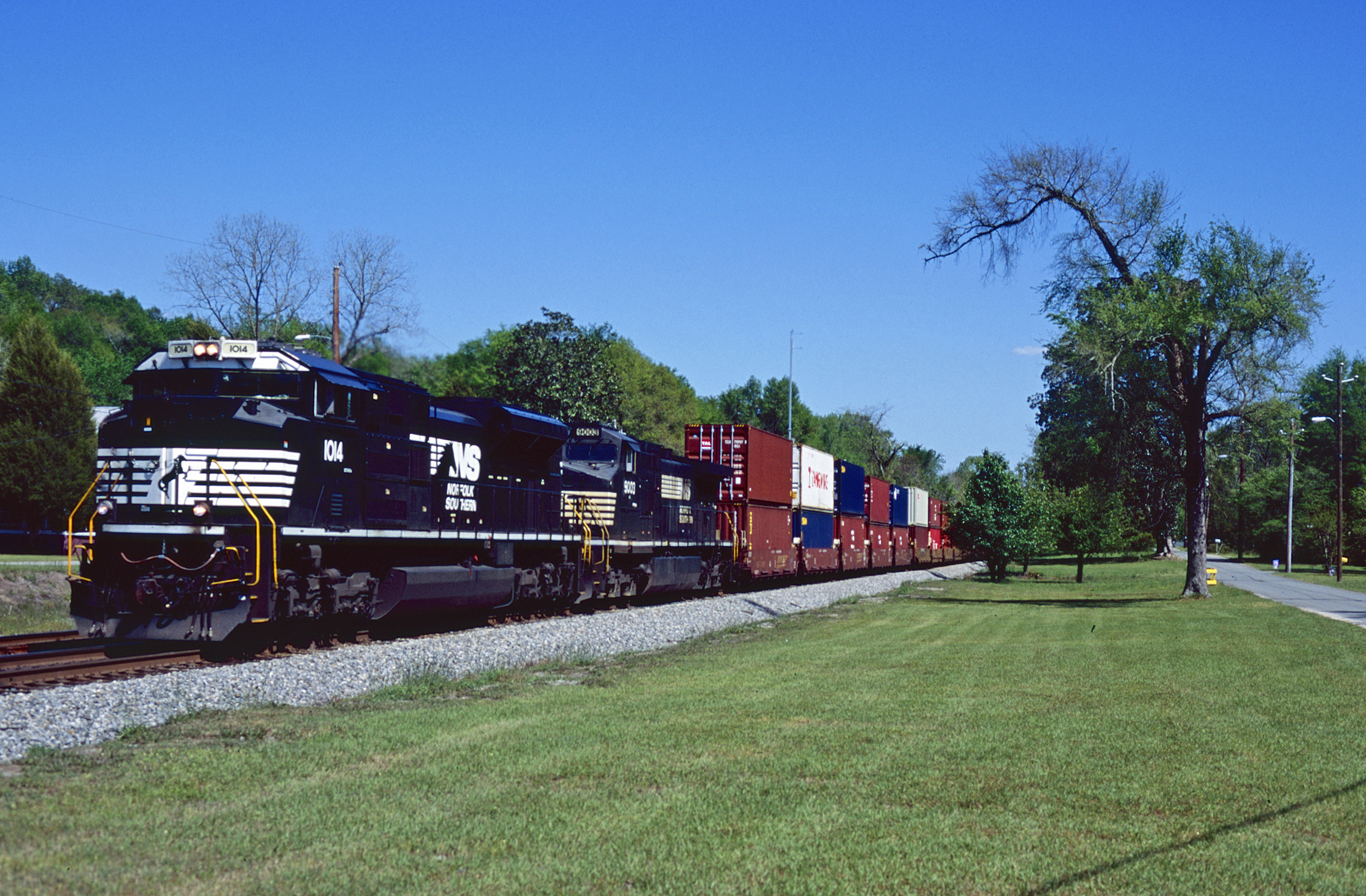
207 Westbound
958 Eastbound
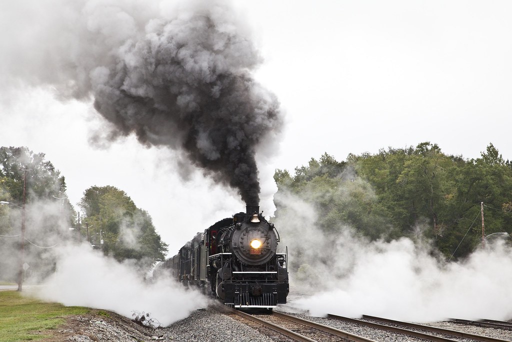
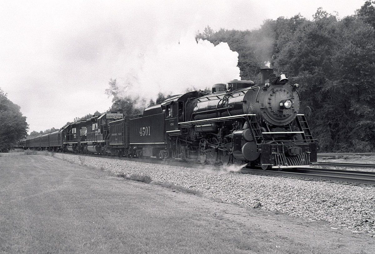
Steam Power
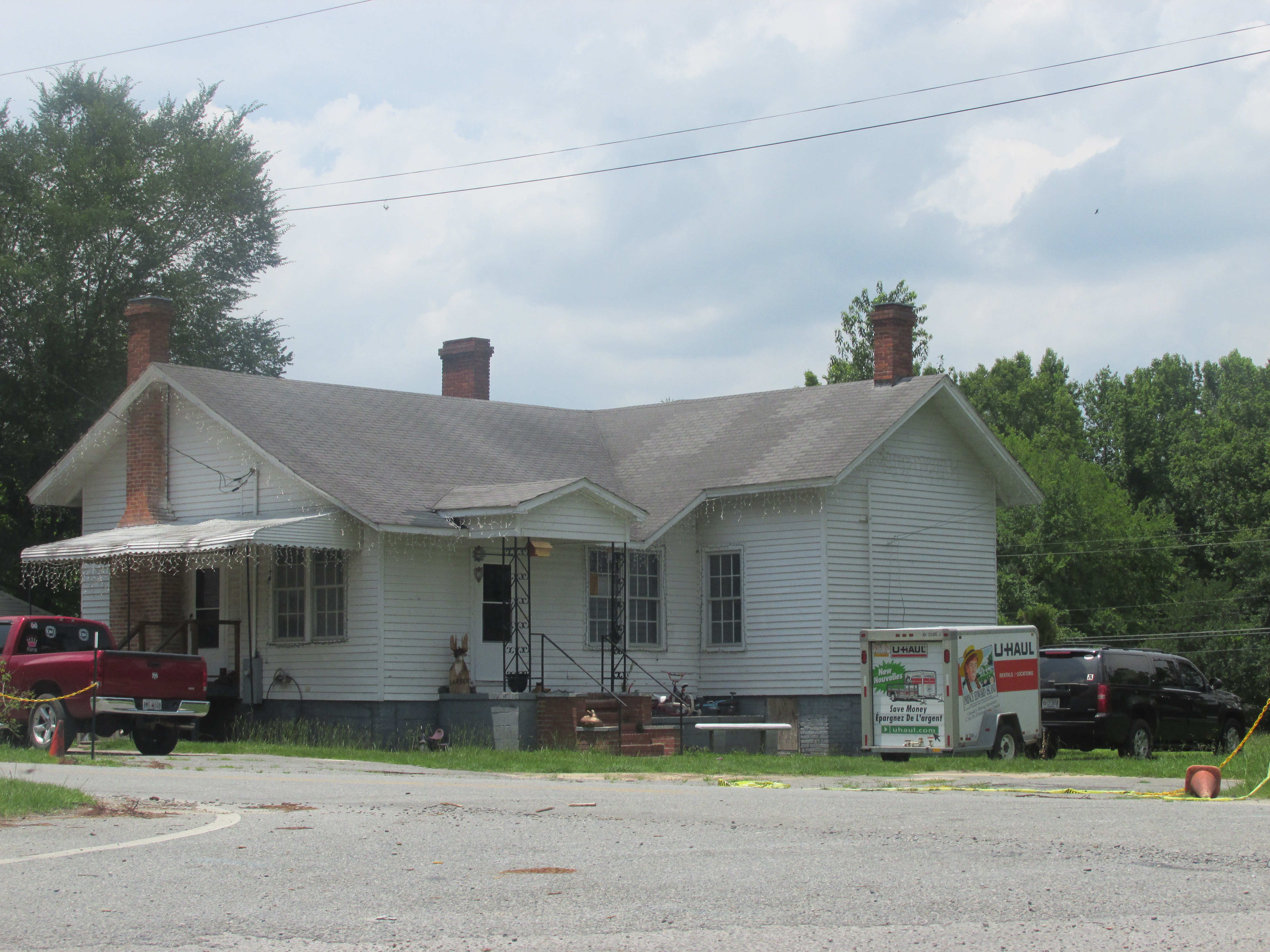
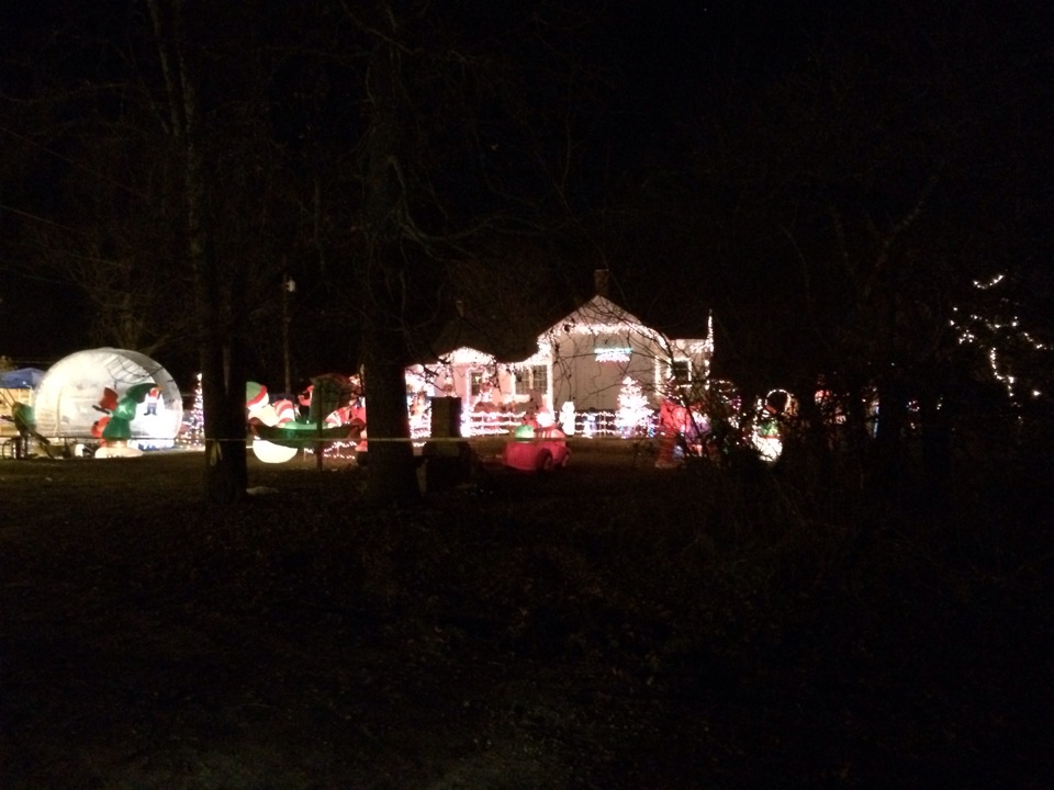
The Honey Boo Boo House
McIntyre -- Georgia
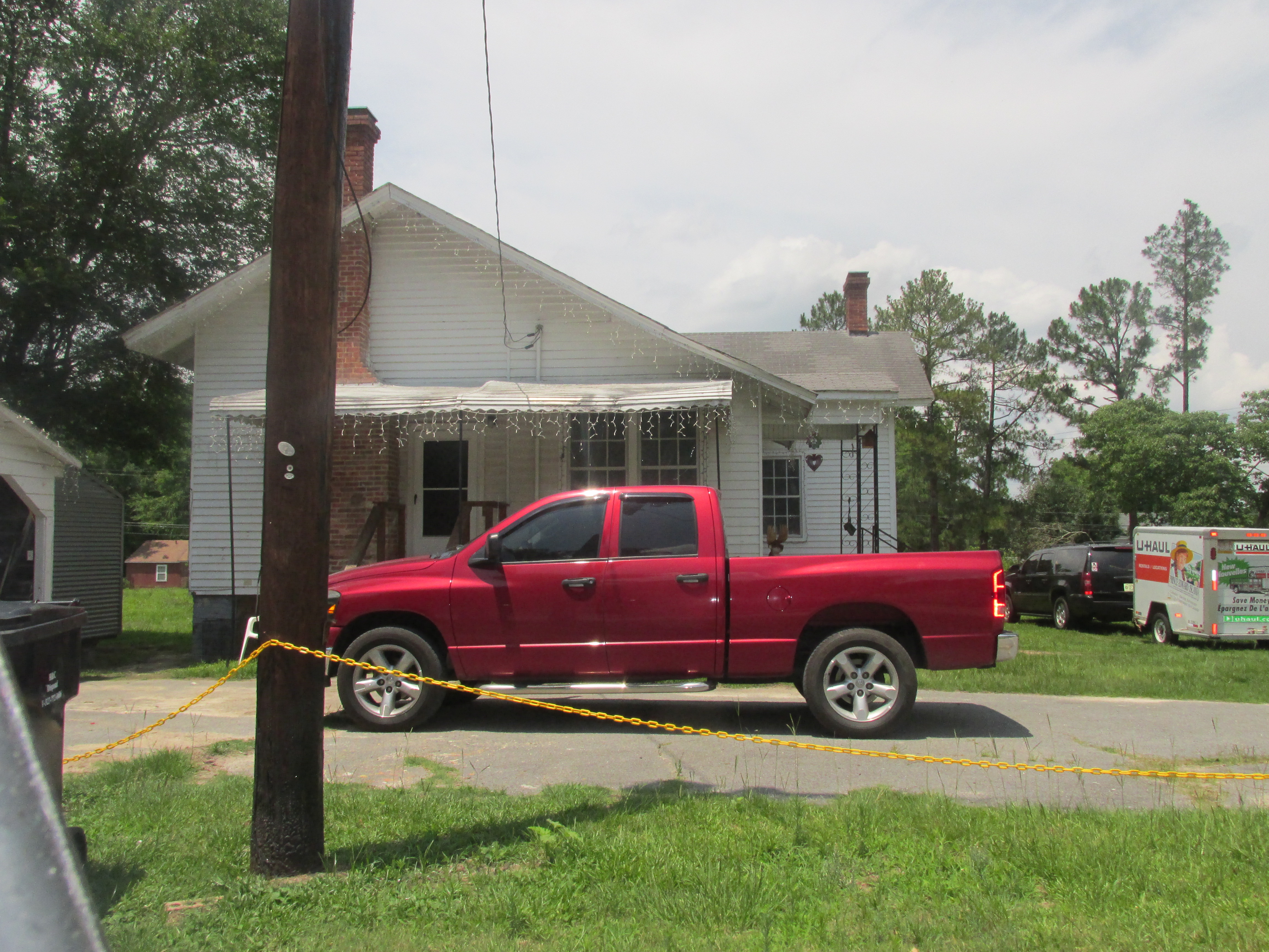
Honey Boo Boo House -- McIntyre Georgia
That's right! Merry #DENmas

SO SWEET

MS.SEXY BUT BAD DAY

EGDR20121021008.jpg
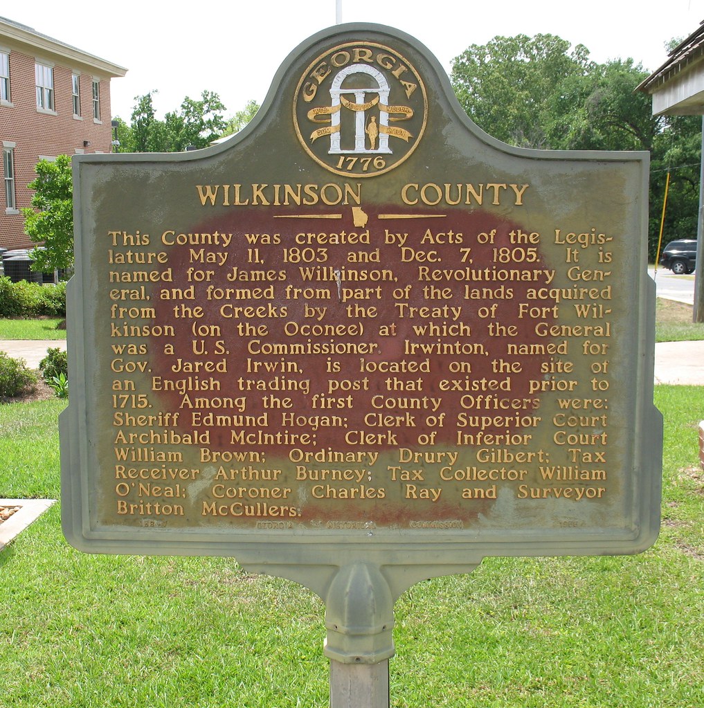
Wilkinson County Marker (GHC 158-7) Irwinton GA
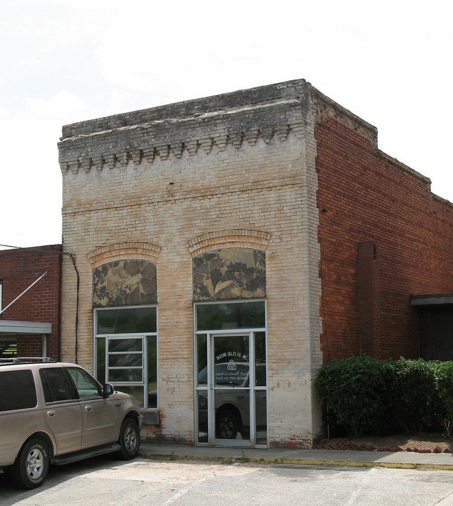
Masonic Lodge Irwinton GA
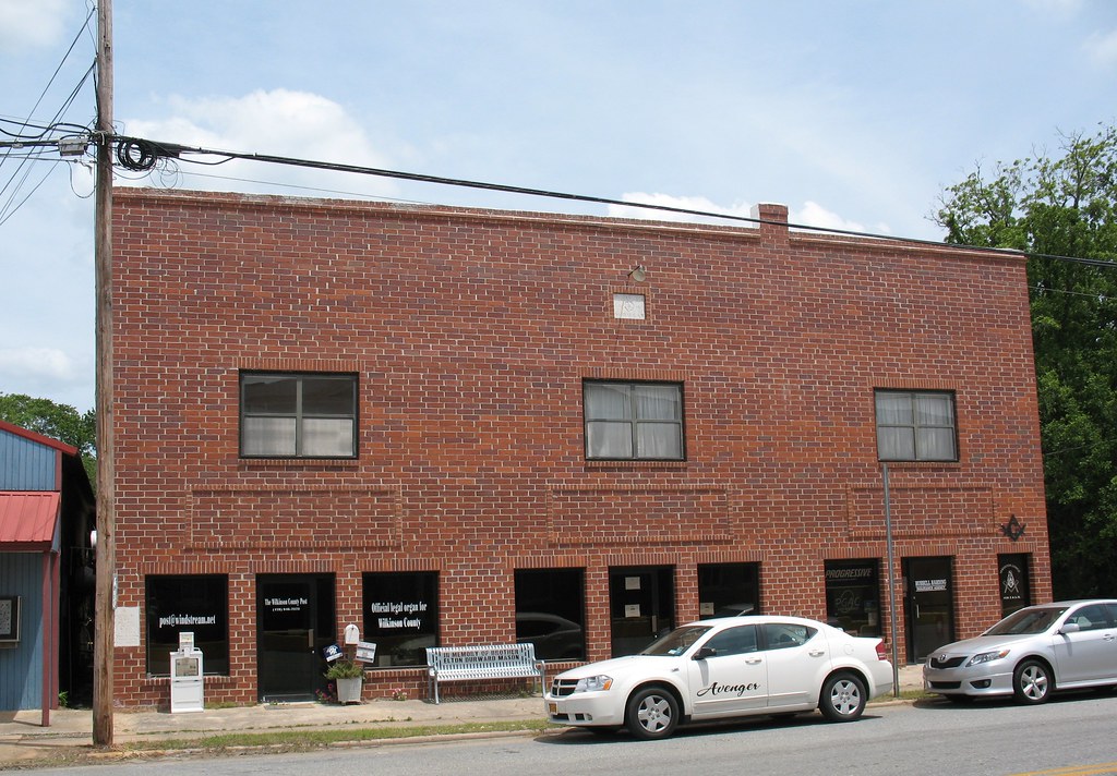
Commercial 1 Irwinton GA
Topographic Map of Liberty Church Road & Parker Hill Road, Liberty Church Rd & Parker Hill Rd, Georgia, USA
Find elevation by address:

Places near Liberty Church Road & Parker Hill Road, Liberty Church Rd & Parker Hill Rd, Georgia, USA:
Liberty Church Road & Parker Hill Road
Liberty Church Road & Parker Hill Road
Dent Road
Dent Road
Railroad St, McIntyre, GA, USA
Mcintyre
Wilkinson County
2895 J R Sims Rd
115-125
Mt Pleasant Church Rd, Gordon, GA, USA
Cobb Rd, Gordon, GA, USA
Coopers Rd SW, Gordon, GA, USA
167 Lee St Se
Log Cabin Road
336 Kings Rd
Harrisburg Rd SW, Milledgeville, GA, USA
Gordon
134 Treanor Dr
160 Pine Dr
Baldwin County
Recent Searches:
- Elevation of Royal Ontario Museum, Queens Park, Toronto, ON M5S 2C6, Canada
- Elevation of Groblershoop, South Africa
- Elevation of Power Generation Enterprises | Industrial Diesel Generators, Oak Ave, Canyon Country, CA, USA
- Elevation of Chesaw Rd, Oroville, WA, USA
- Elevation of N, Mt Pleasant, UT, USA
- Elevation of 6 Rue Jules Ferry, Beausoleil, France
- Elevation of Sattva Horizon, 4JC6+G9P, Vinayak Nagar, Kattigenahalli, Bengaluru, Karnataka, India
- Elevation of Great Brook Sports, Gold Star Hwy, Groton, CT, USA
- Elevation of 10 Mountain Laurels Dr, Nashua, NH, USA
- Elevation of 16 Gilboa Ln, Nashua, NH, USA