Elevation map of Liari, Las Bela, Balochistan, Pakistan
Location: Pakistan > Las Bela >
Longitude: 65.4282201
Latitude: 25.5138921
Elevation: 639m / 2096feet
Barometric Pressure: 94KPa
Elevation Map:
Satellite Map:
Related Photos:

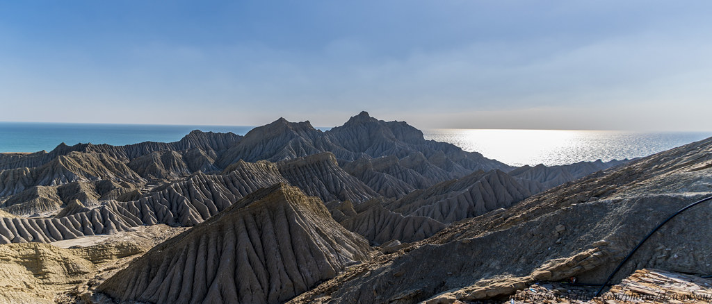
Day 1 - Agore (Hingol National Park)

"Direction is so much more important than speed. Many are going nowhere fast"

Kund Malir Beach

Kund Malir Beach

DSC_3713-Pano

DSC_3736-Pano

DSC_3742-Pano-2
DSC_3744-Pano

DSC_3751-Pano
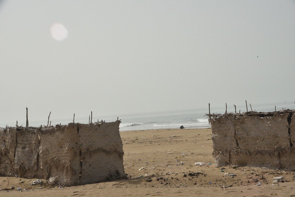
Kund Malir beach

Kund Malir beach

Kund Malir beach

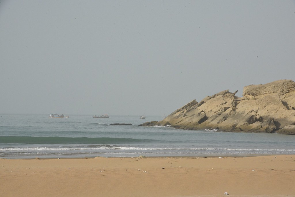
Kund Malir beach

Kund Malir beach

Kund Malir beach

Kund Malir beach

Kund Malir beach

Kund Malir beach

Kund Malir beach

Kund Malir beach
Kund Malir beach

Kund Malir beach

Kund Malir beach

Kund Malir beach
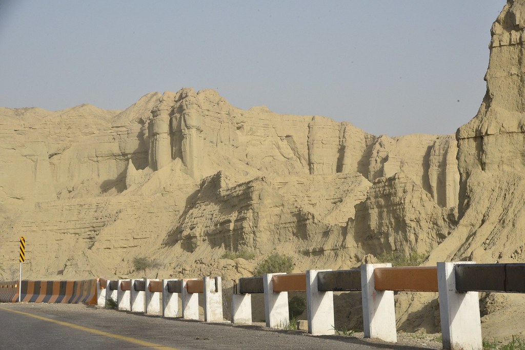
Makran Coastal Highway
Topographic Map of Liari, Las Bela, Balochistan, Pakistan
Find elevation by address:

Places in Liari, Las Bela, Balochistan, Pakistan:
Places near Liari, Las Bela, Balochistan, Pakistan:
Kund Malir
Kund Malir Road
Great Sphinx
Princess Of Hope
Buzi Pass
Buji Koh, Sapat Bandar, Hingol National Park
Highest Live Mud Volcano
Ormara
Recent Searches:
- Elevation of Grodna District, Hrodna Region, Belarus
- Elevation of Hrodna, Hrodna Region, Belarus
- Elevation of Sandia Derby Estates, Tijeras, NM, USA
- Elevation of 23 Sunrise View Ct, Tijeras, NM, USA
- Elevation of Lytham Ln, Katy, TX, USA
- Elevation of Tater Hill, Oklahoma, USA
- Elevation of NY-, Friendship, NY, USA
- Elevation of 64 Danakas Dr, Winnipeg, MB R2C 5N7, Canada
- Elevation of 4 Vale Rd, Sheffield S3 9QX, UK
- Elevation of Keene Point Drive, Keene Point Dr, Grant, AL, USA