Elevation of Lexington, SC, USA
Location: United States > South Carolina > Lexington County >
Longitude: -81.236210
Latitude: 33.9815369
Elevation: 121m / 397feet
Barometric Pressure: 100KPa
Elevation Map:
Satellite Map:
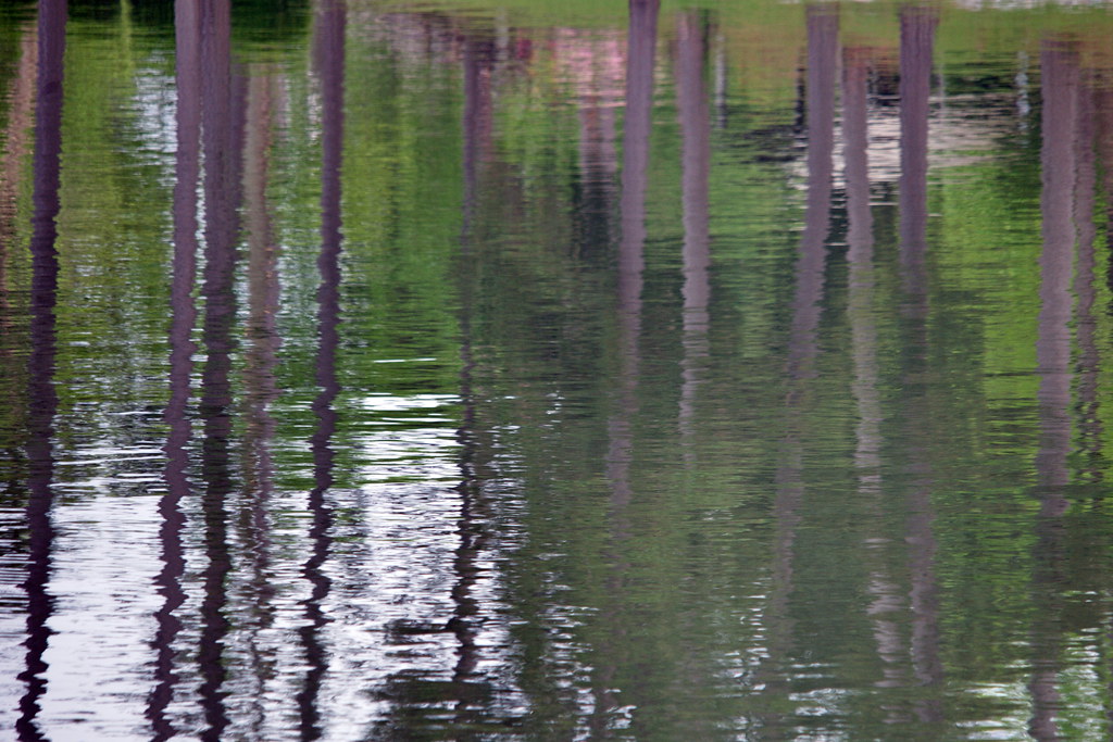
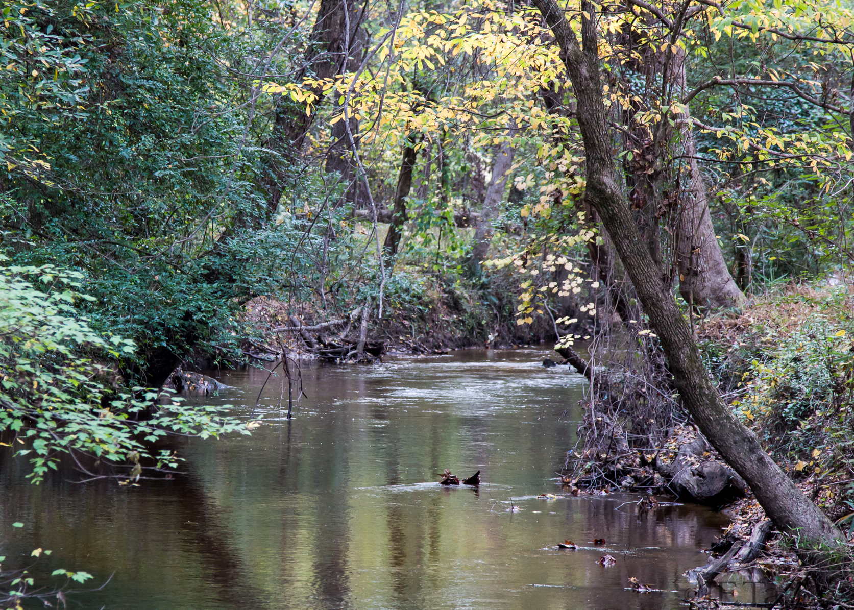
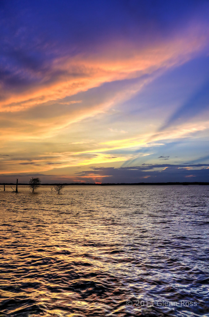
Related Photos:

Brick Window
The Earth Is Glowing

Window with a view.

Not To Cross
Simplicity: torch
214 Close Friends

Where's the Sea?

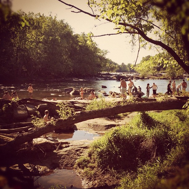
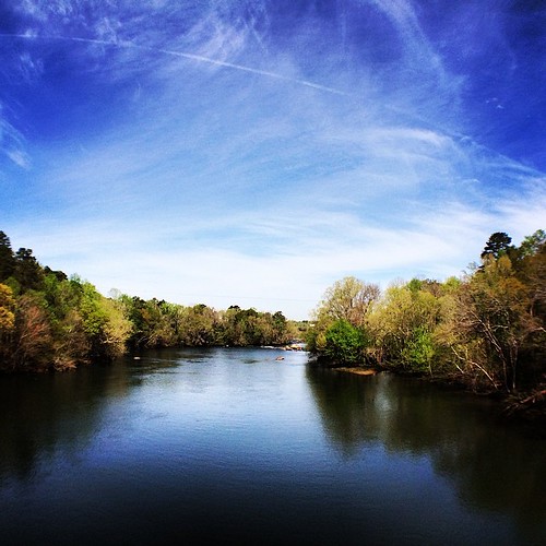
Rivers View
Written Across the Sky
Curvature of a Bend
The Vain of Life

Aquarium (Middle View)

The Dam Road HDR

Riverbanks Zoo Bridge
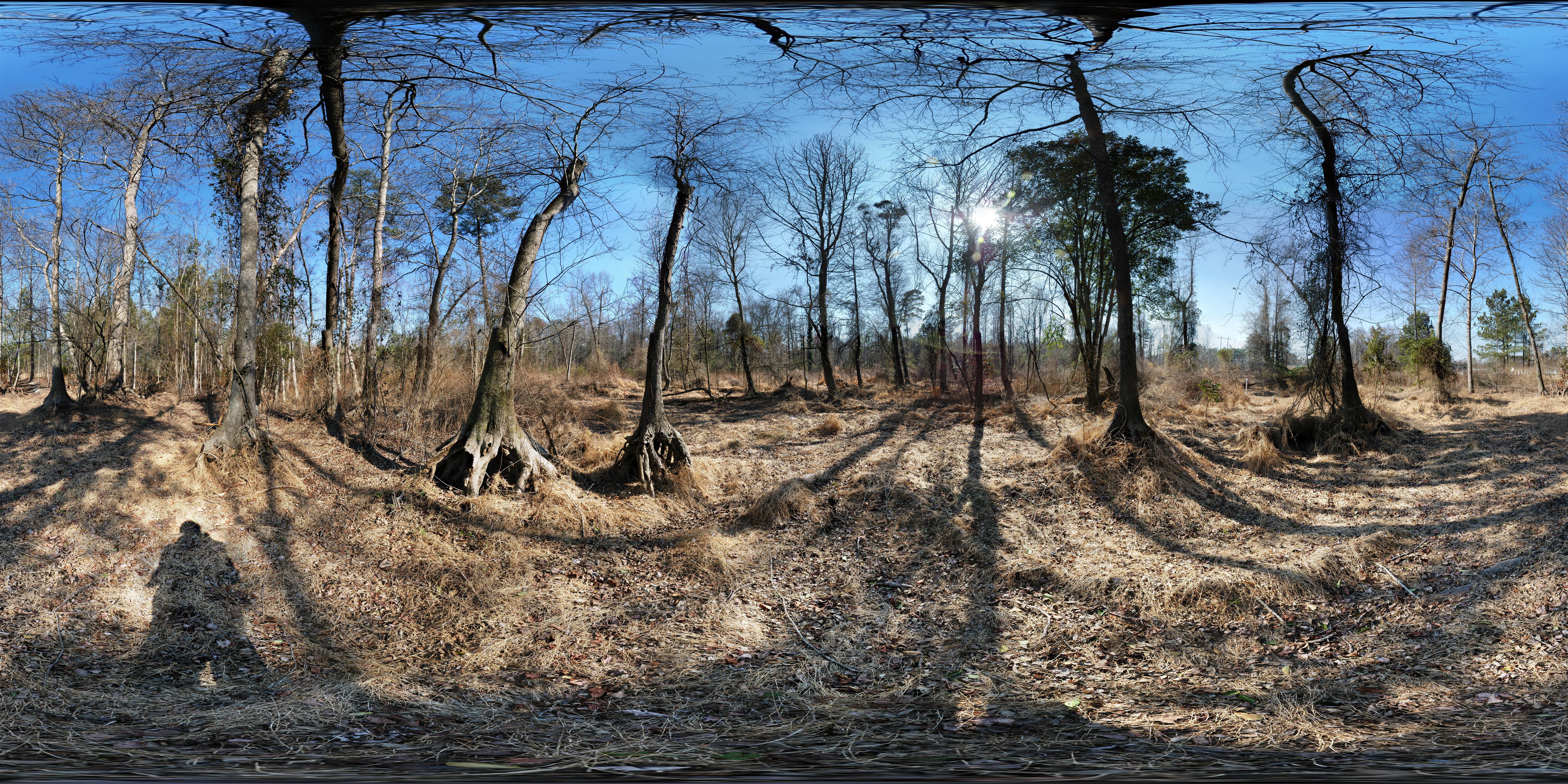
Dr. Taylor's Mitigation Bank (before restoration) 360° x 180°

Riverland Hills Baptist Church
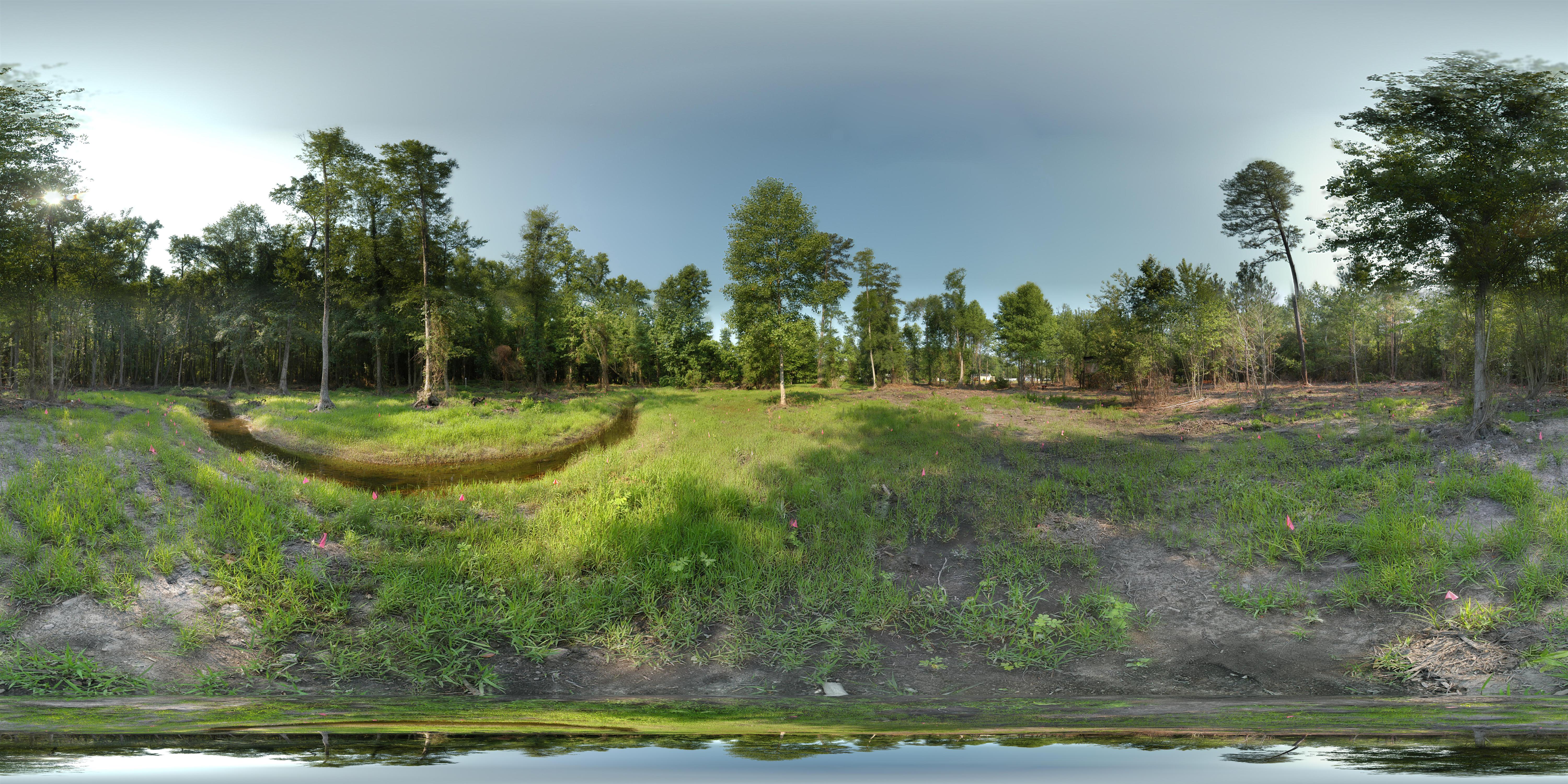
Dr. Taylor's Mitigation Bank (after restoration) 360° x 180°

A view of Bomb Island from our dock

Shine Part Deux
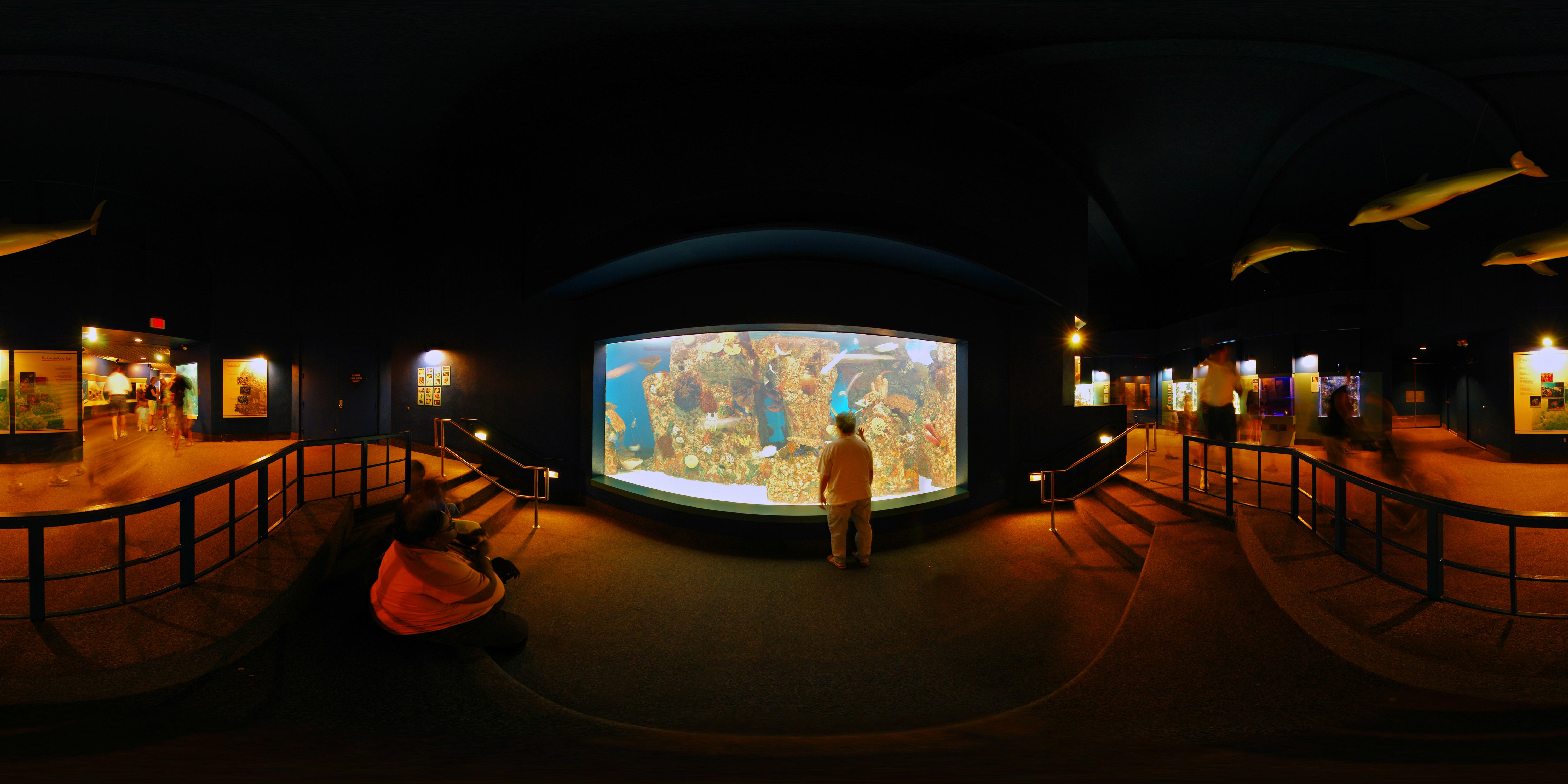
Aquarium (Front View)
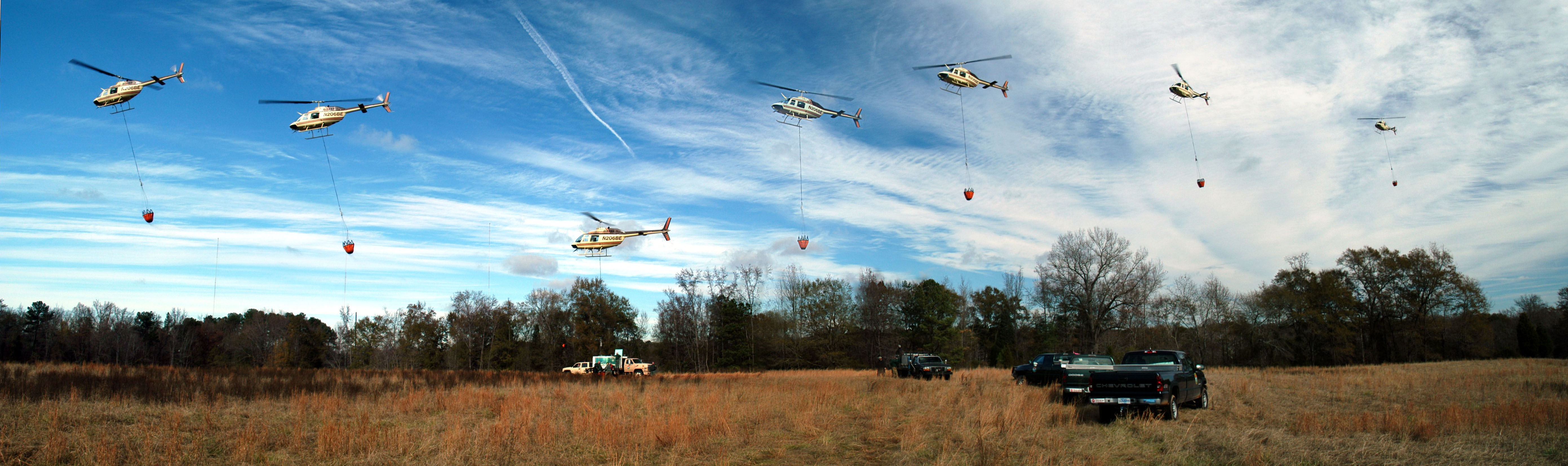
Helicopter Trout Stocking in the Lower Saluda River
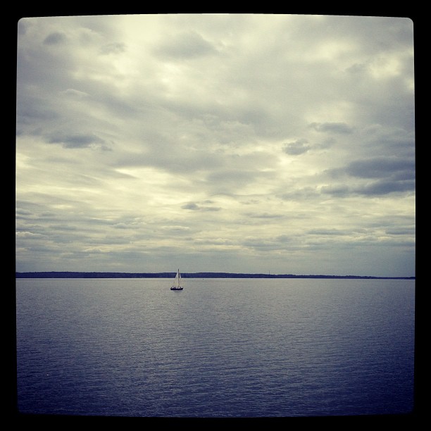
Sail boat; Lake Murray

A windy Lake Murray
Start of Summer 2012
Anderson Cove One Morning - Water Art 03
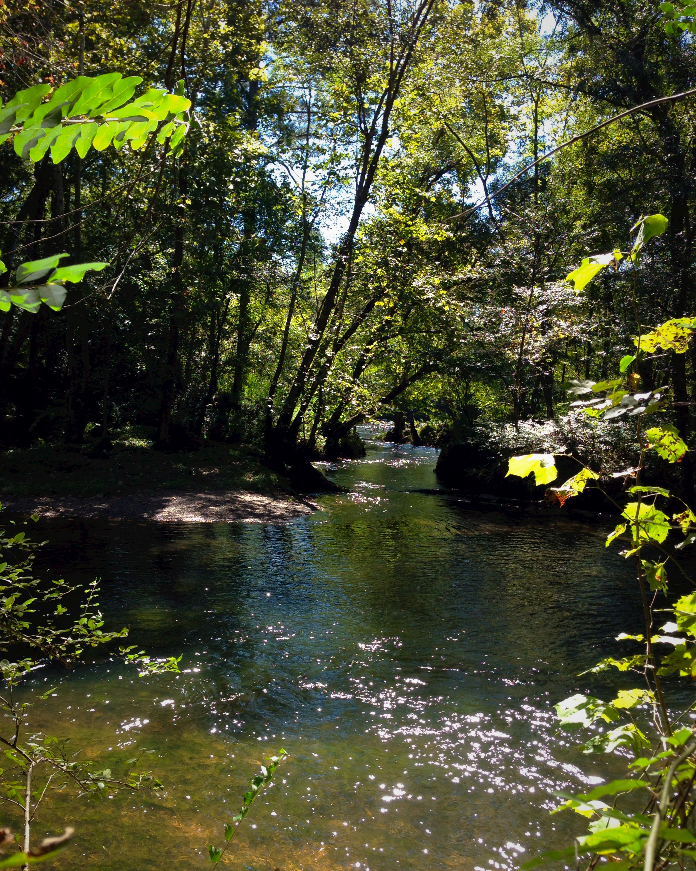
05NOV13: Twelve-Mile Creek
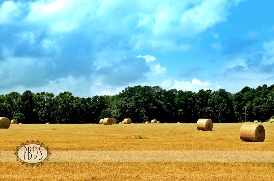
Country Land

Columbia, SC

Sunset 3-30-09 #3

Carolina Silverbell

Bigleaf Magnolia Leaffall
Trees in the Water-891001

iPhone - Sunset Blvd
Once again, another beautiful spring day #riverbanks #riverbankszoo #columbia #river #trees #clouds #sky #saludariver #beautiful #beautifulday #scenery #spring #april5 #april2014

Day 343: Next to the Nature Trail
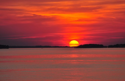
Sunset_4-9-09d

Riverbanks Zoo 6-16-2013
Saluda Shoals Park

Danthonia sericea (Silky Oat-grass)
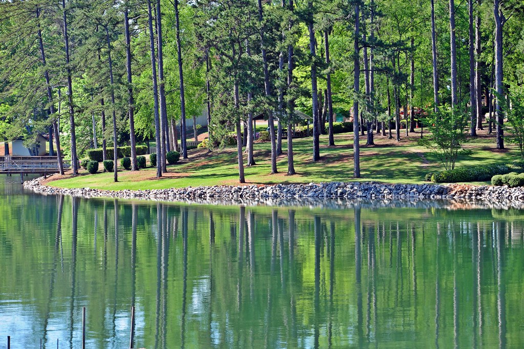
06 Pines Reflect in Lake
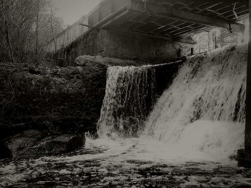
Falls in Black and White

Virgin's Palm 2
Topographic Map of Lexington, SC, USA
Find elevation by address:

Places in Lexington, SC, USA:
Places near Lexington, SC, USA:
308 E Main St
125 Glynway Ave
378 Sunset Blvd
117 Saks Ave
120 Glassmaster Rd
Village Green Estates By D.r. Horton America's Builder
413 Mill Creek Rd
New Market Cir, Lexington, SC, USA
406 Oxford Rd
115 Stump Rd
Red Bank
2044 Old Barnwell Rd
Lexington County
201 Serenity Dr
182 Charter Oak Road
Windward Point Court
108 Brittany Way
108 Brittany Way
108 Brittany Way
113 Rockridge Ct
Recent Searches:
- Elevation of Corso Fratelli Cairoli, 35, Macerata MC, Italy
- Elevation of Tallevast Rd, Sarasota, FL, USA
- Elevation of 4th St E, Sonoma, CA, USA
- Elevation of Black Hollow Rd, Pennsdale, PA, USA
- Elevation of Oakland Ave, Williamsport, PA, USA
- Elevation of Pedrógão Grande, Portugal
- Elevation of Klee Dr, Martinsburg, WV, USA
- Elevation of Via Roma, Pieranica CR, Italy
- Elevation of Tavkvetili Mountain, Georgia
- Elevation of Hartfords Bluff Cir, Mt Pleasant, SC, USA