Elevation of Lexington Cir, Loomis, CA, USA
Location: United States > California > Placer County > Loomis >
Longitude: -121.13098
Latitude: 38.7974635
Elevation: -10000m / -32808feet
Barometric Pressure: 295KPa
Elevation Map:
Satellite Map:
Related Photos:
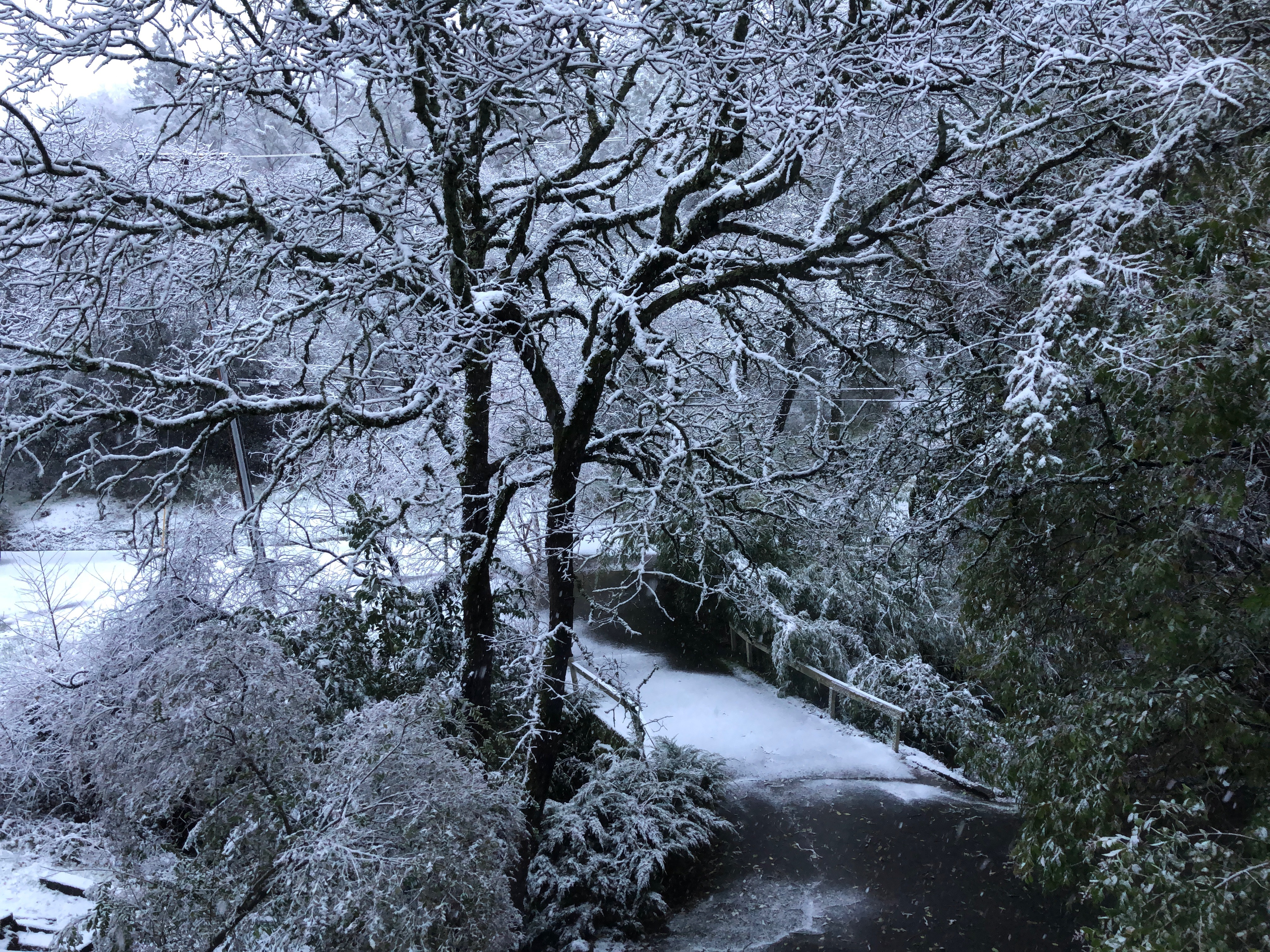
Snow on the ground, Auburn, Placer County, California

Deck view

Dawn View from Crooked Bridge

Folsom Dam - Brown's Ravine

Folsom Lake Lupines

Afternoon Reflection 1794
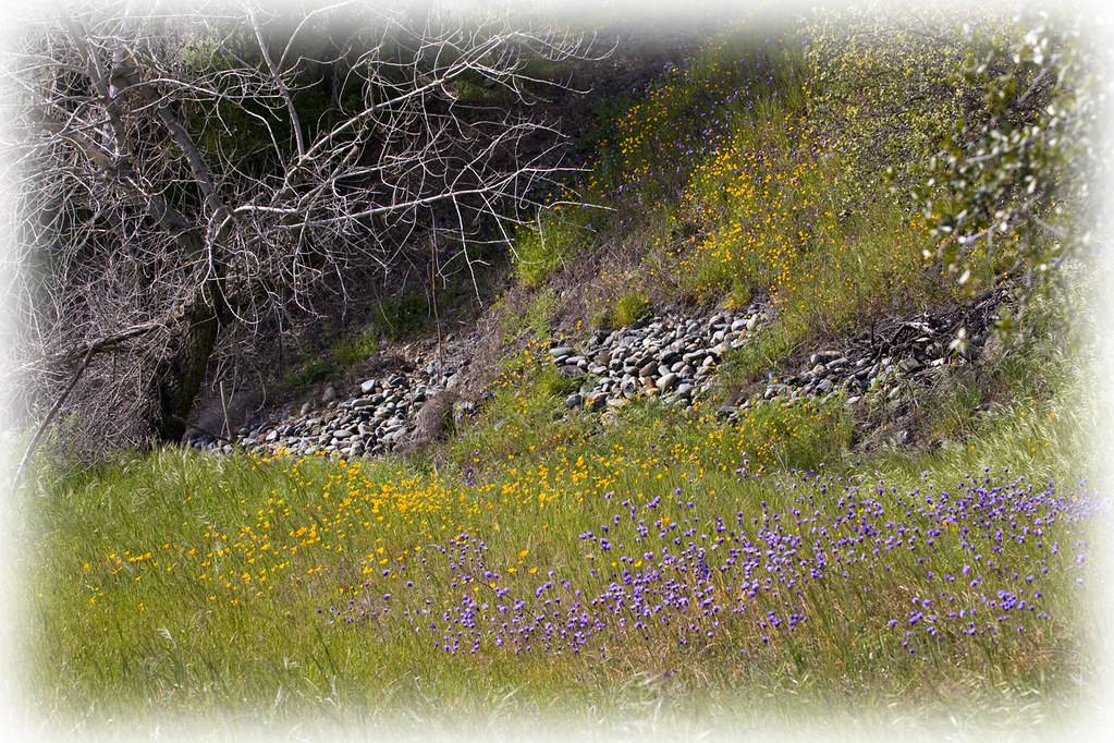
Spring Wildflowers 0026

Winter At The Old Church 5621

Folsom Dam, Granite Bay side

Blue Heron In Vetch 0893

Historic Auburn HDR 4115

Folsom Dam

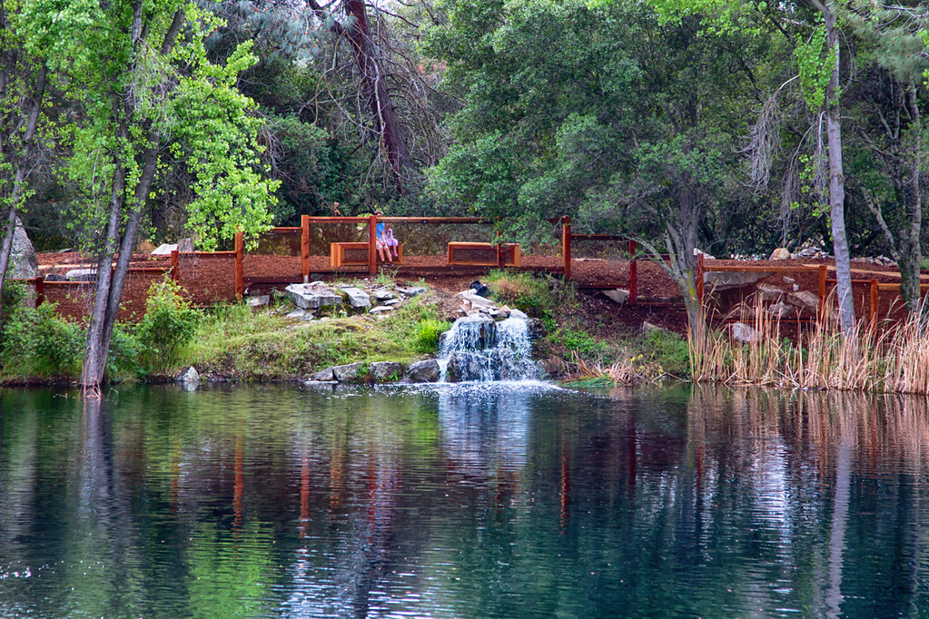
Grotto of the Falls

Rainbow Bridge Panorama

MinionsXmas_3205-1

Heaven’s View ????

moss and mist

Rock Wren

No Hands Bridge

Up River

Folsom Lake

Oak in Fog

The Pond 046
Quarry Park Pond 0872

Folsom Dam

Quarry Lake Rocklin 0132

After the storm

Folsom Dam, Granite Bay side
Topographic Map of Lexington Cir, Loomis, CA, USA
Find elevation by address:

Places near Lexington Cir, Loomis, CA, USA:
4911 Lexington Cir
4800 Auburn Folsom Rd
9042 Pioneer Ln
Eden Roc Drive
9608 Clos Du Lac Cir
3980 Maple Ln
8303 Moss Ct
Boren Lane
9690 King Rd
7725 Autumn Ln
7624 Horseshoe Bar Rd
3454 Ashley Creek Dr
9590 Junewood Ln
7947 King Rd
7947 King Rd
7947 King Rd
9220 Rock Springs Rd
Rock Springs Road
West Ln, Granite Bay, CA, USA
Granite Bay
Recent Searches:
- Elevation of 15th Ave SE, St. Petersburg, FL, USA
- Elevation of Beall Road, Beall Rd, Florida, USA
- Elevation of Leguwa, Nepal
- Elevation of County Rd, Enterprise, AL, USA
- Elevation of Kolchuginsky District, Vladimir Oblast, Russia
- Elevation of Shustino, Vladimir Oblast, Russia
- Elevation of Lampiasi St, Sarasota, FL, USA
- Elevation of Elwyn Dr, Roanoke Rapids, NC, USA
- Elevation of Congressional Dr, Stevensville, MD, USA
- Elevation of Bellview Rd, McLean, VA, USA