Elevation of Lewisburg, TN, USA
Location: United States > Tennessee > Marshall County > Lewisburg >
Longitude: -86.761749
Latitude: 35.5005999
Elevation: 206m / 676feet
Barometric Pressure: 99KPa
Elevation Map:
Satellite Map:
Related Photos:

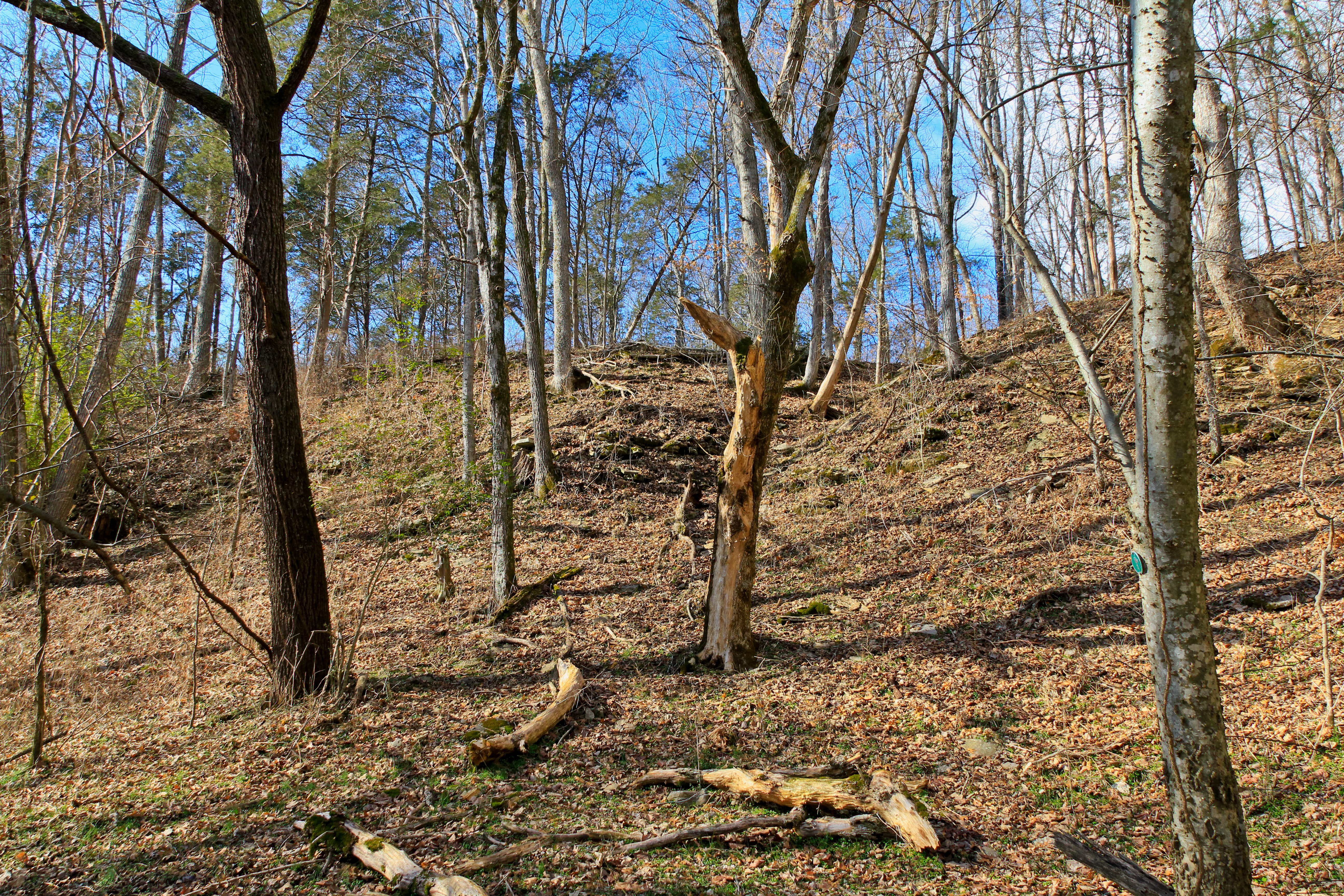
Pa's Old Barn
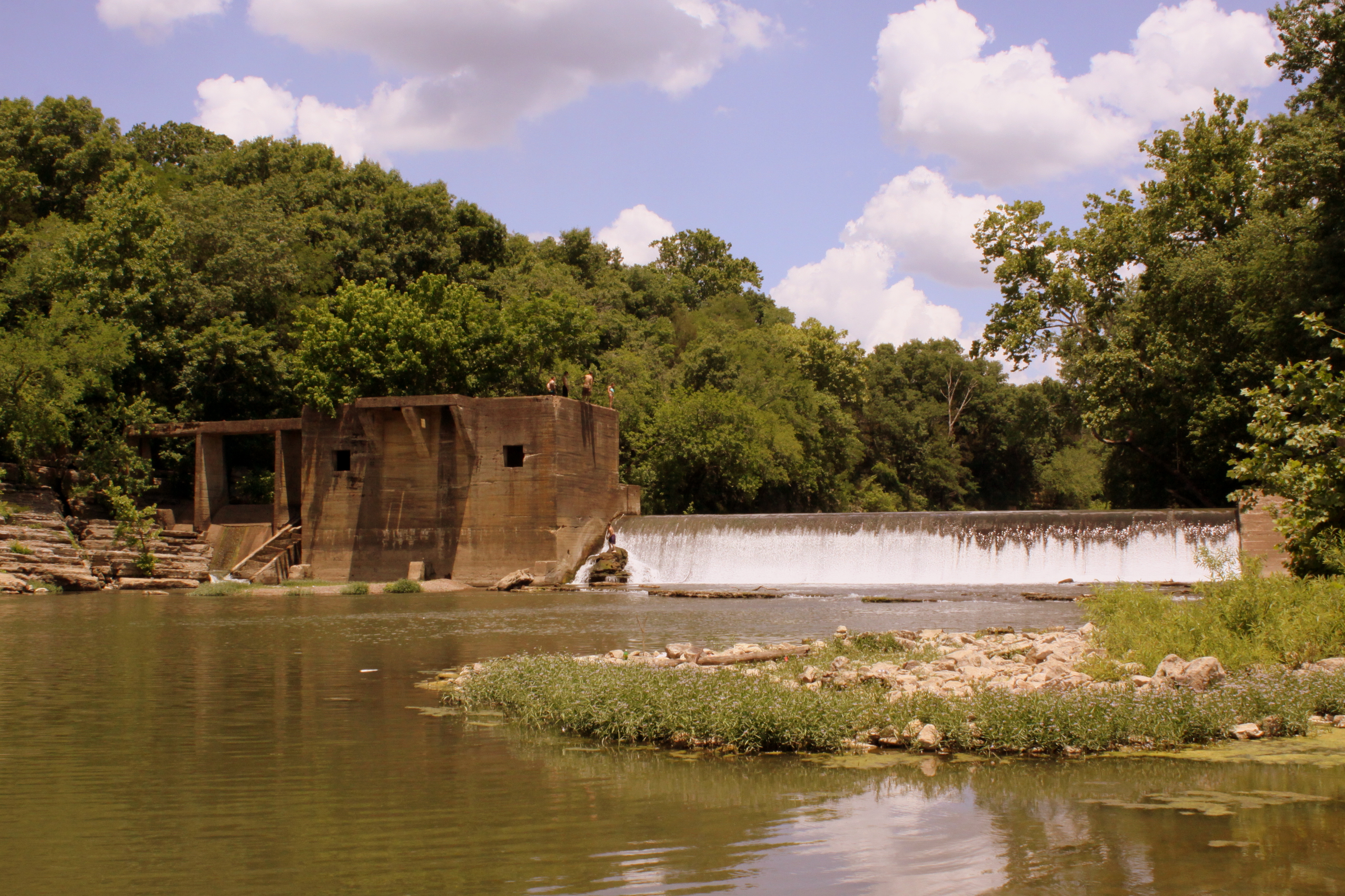
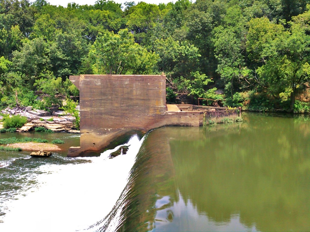
Lillard's Mill Hydroelectric Station

Hi-Way 50 Drive in Alternate

Marshall County, TN Courthouse - Lewisburg, TN
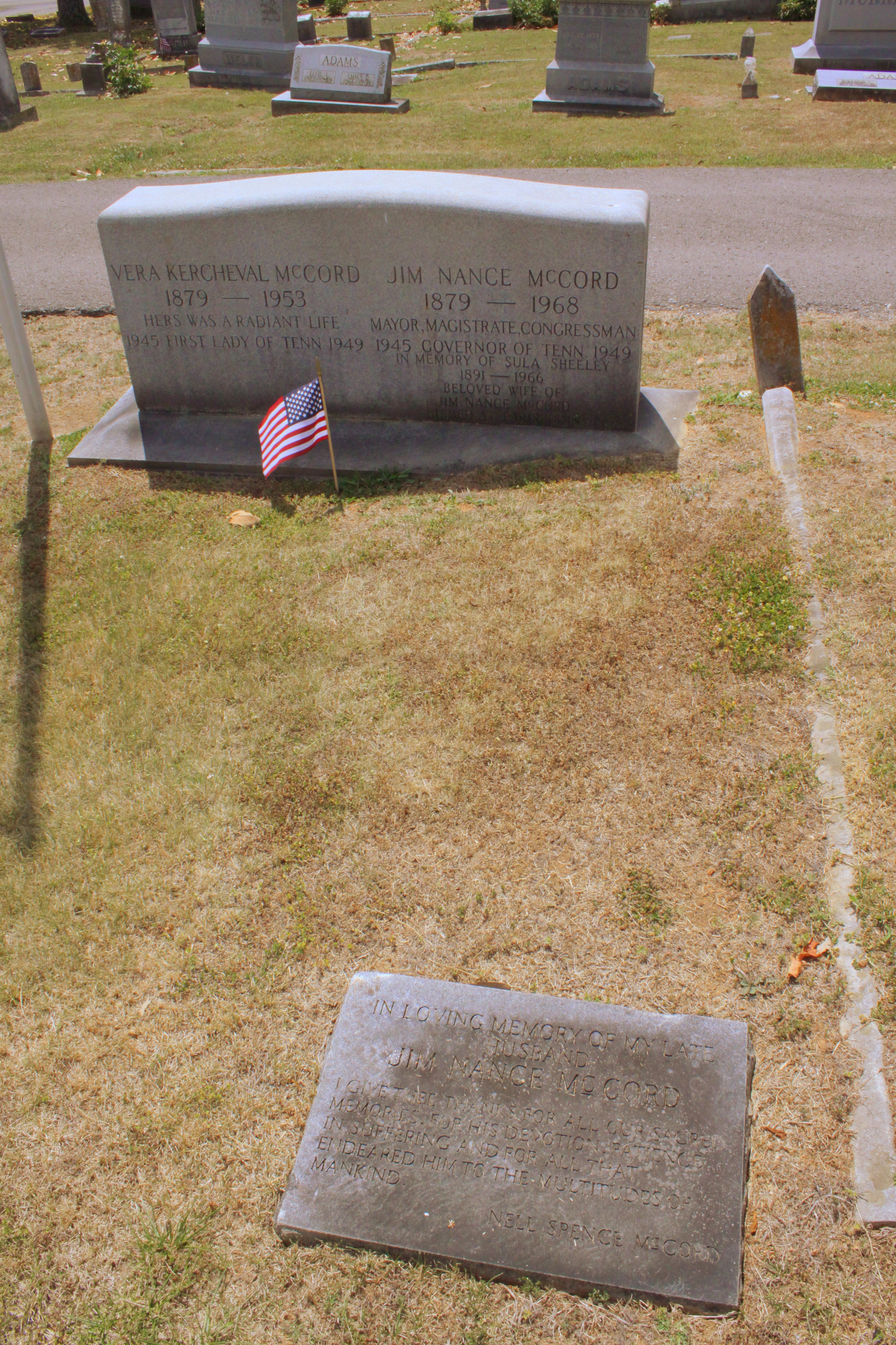
Burial Site of Gov. Jim Nance McCord
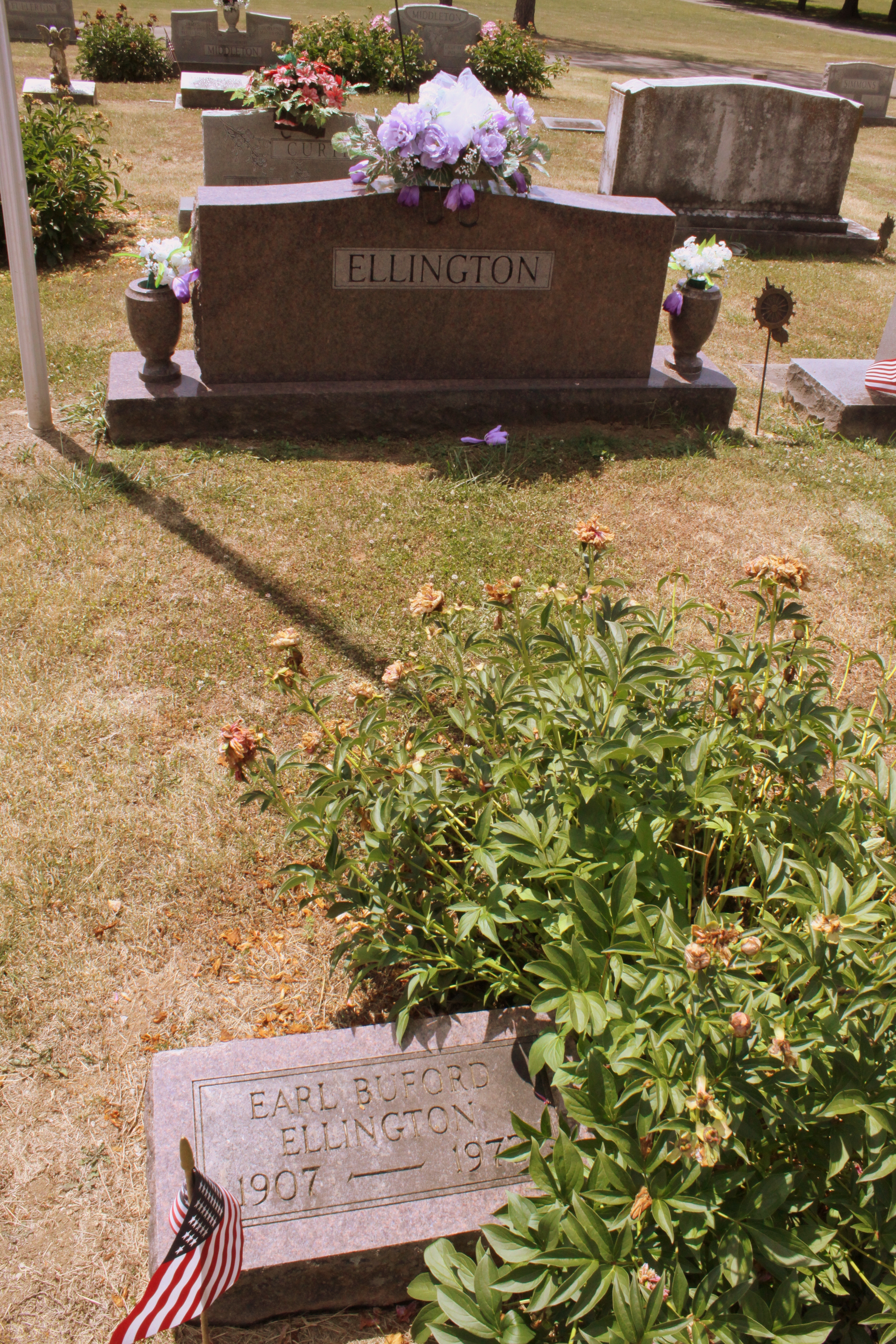
Burial Site of Gov. Buford Ellington

Henry Horton

Henry Horton

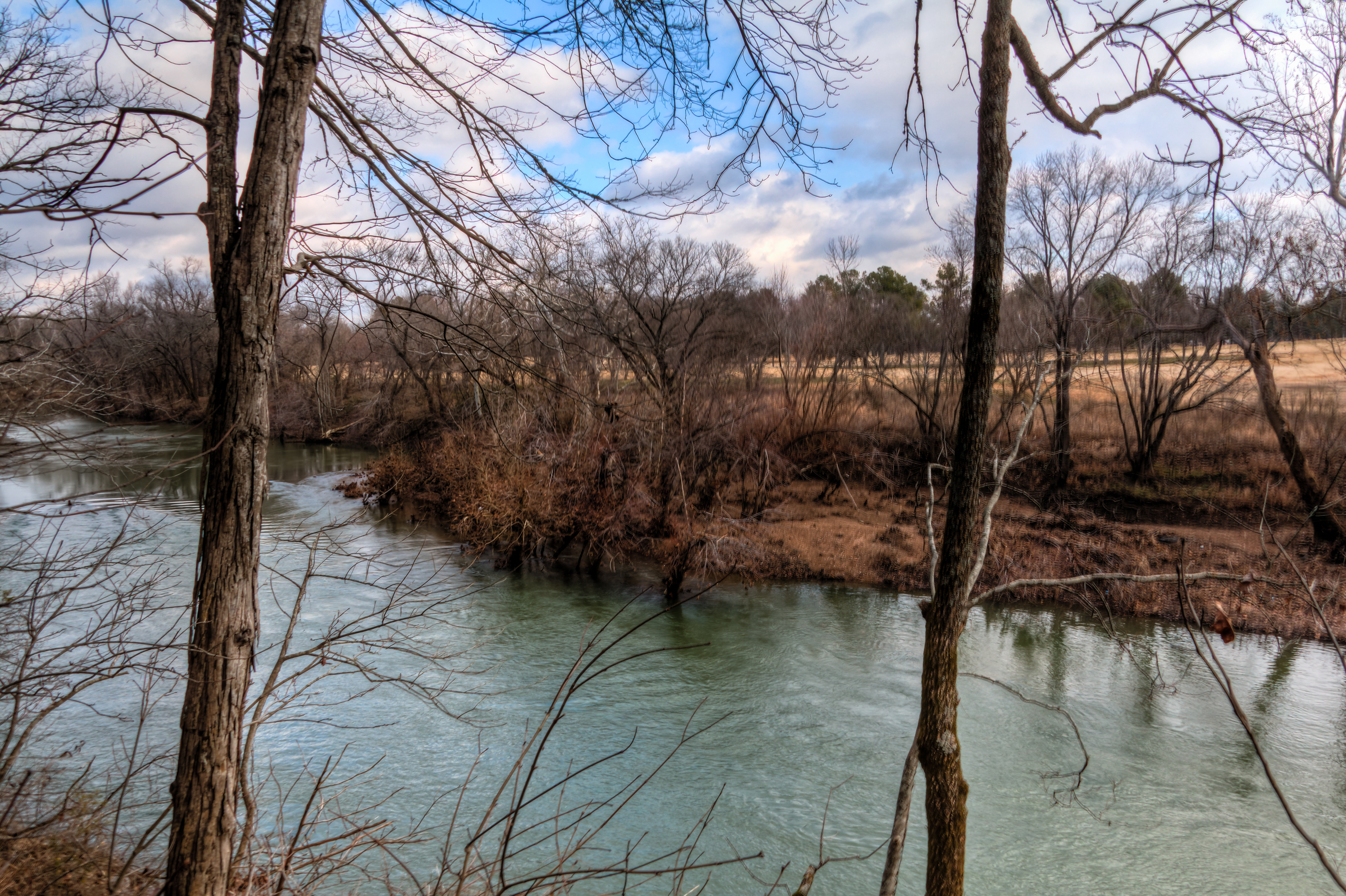
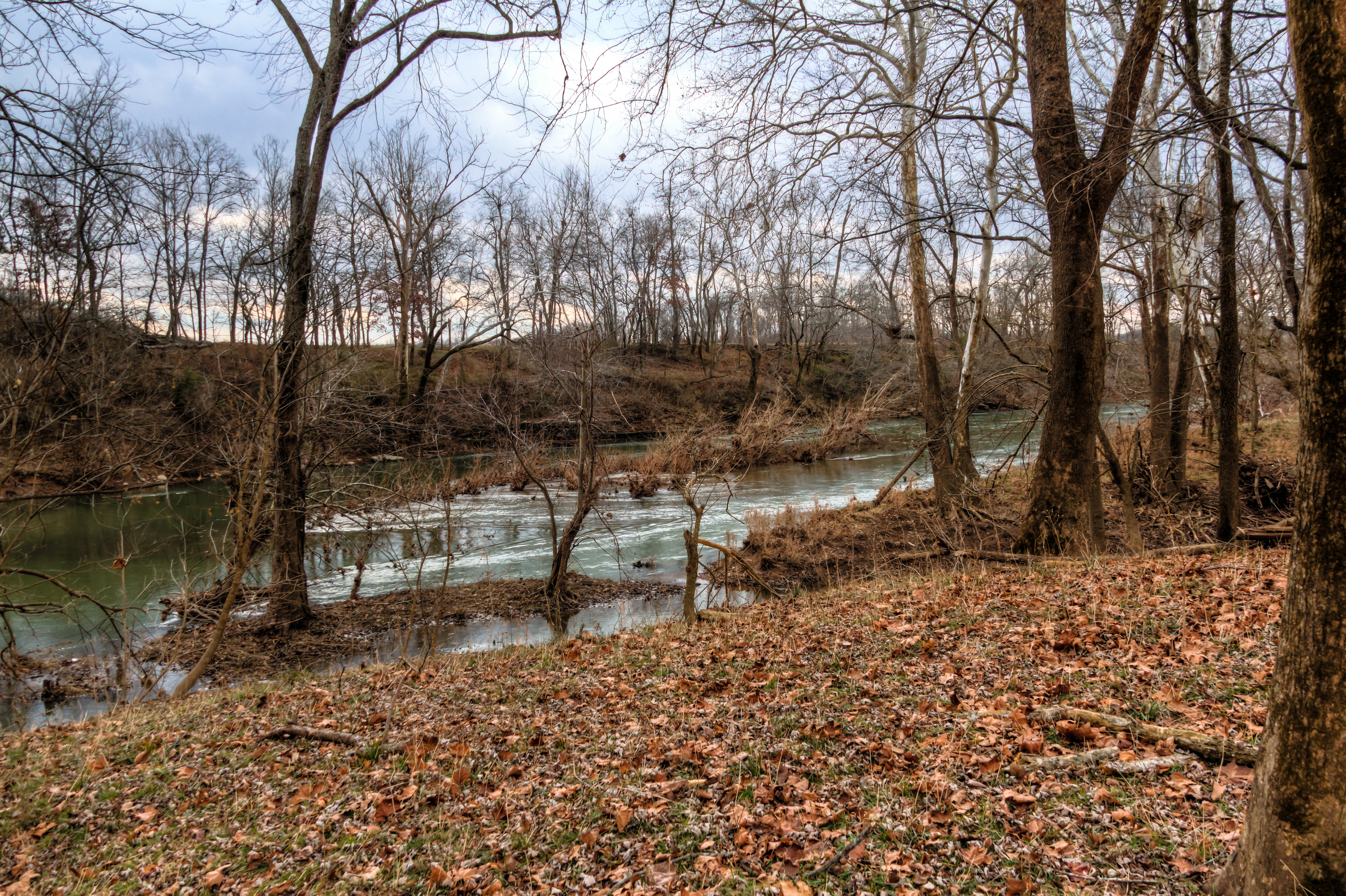
The Duck River at Henry Horton State Park
Henry Horton
Henry Horton
Henry Horton
20110108-nhm-henry-horton-duck-river-148
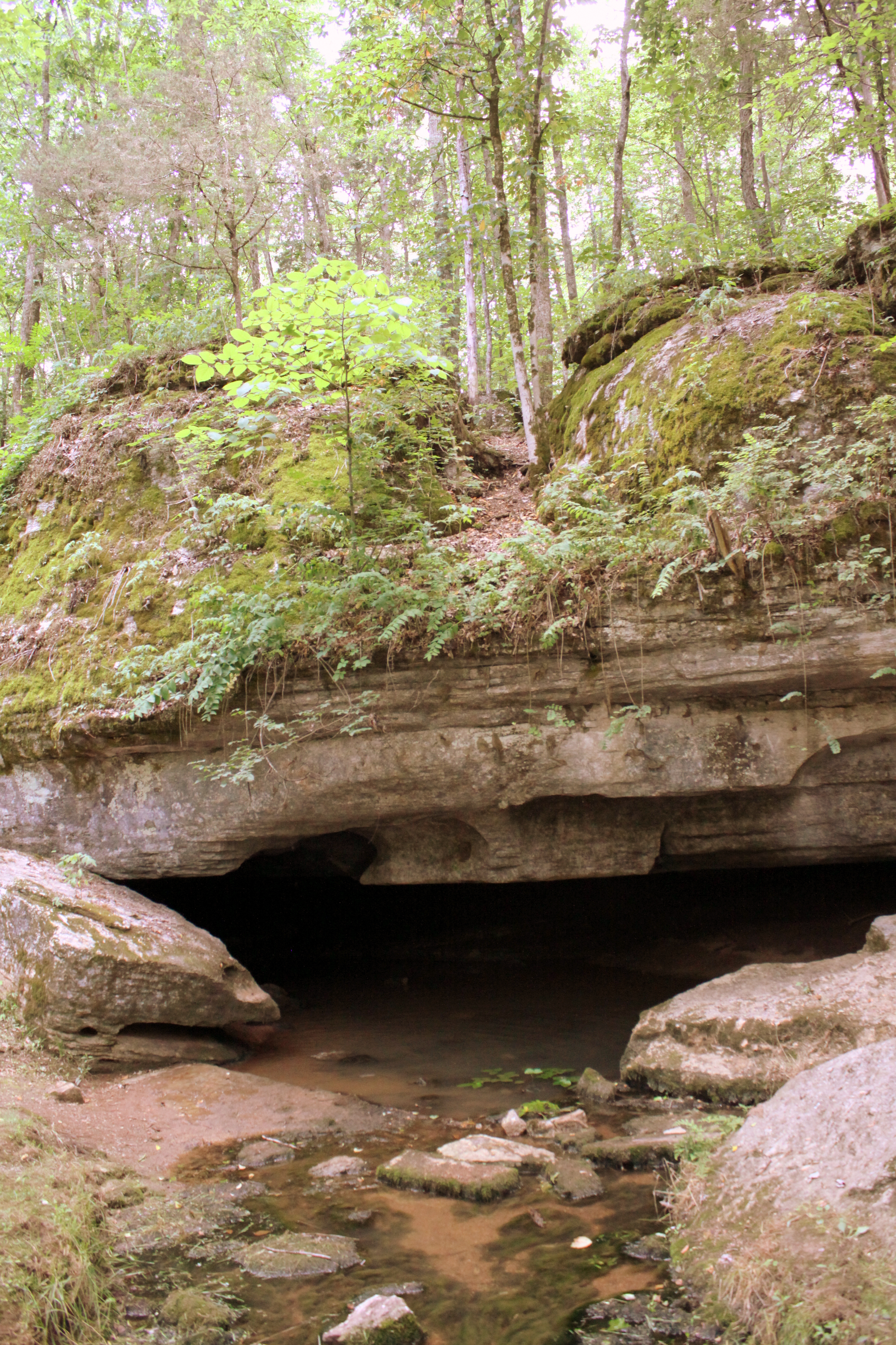
Berlin Spring - Marshall County, TN

Morning Fog

Rainbow over Lewisburg
=)
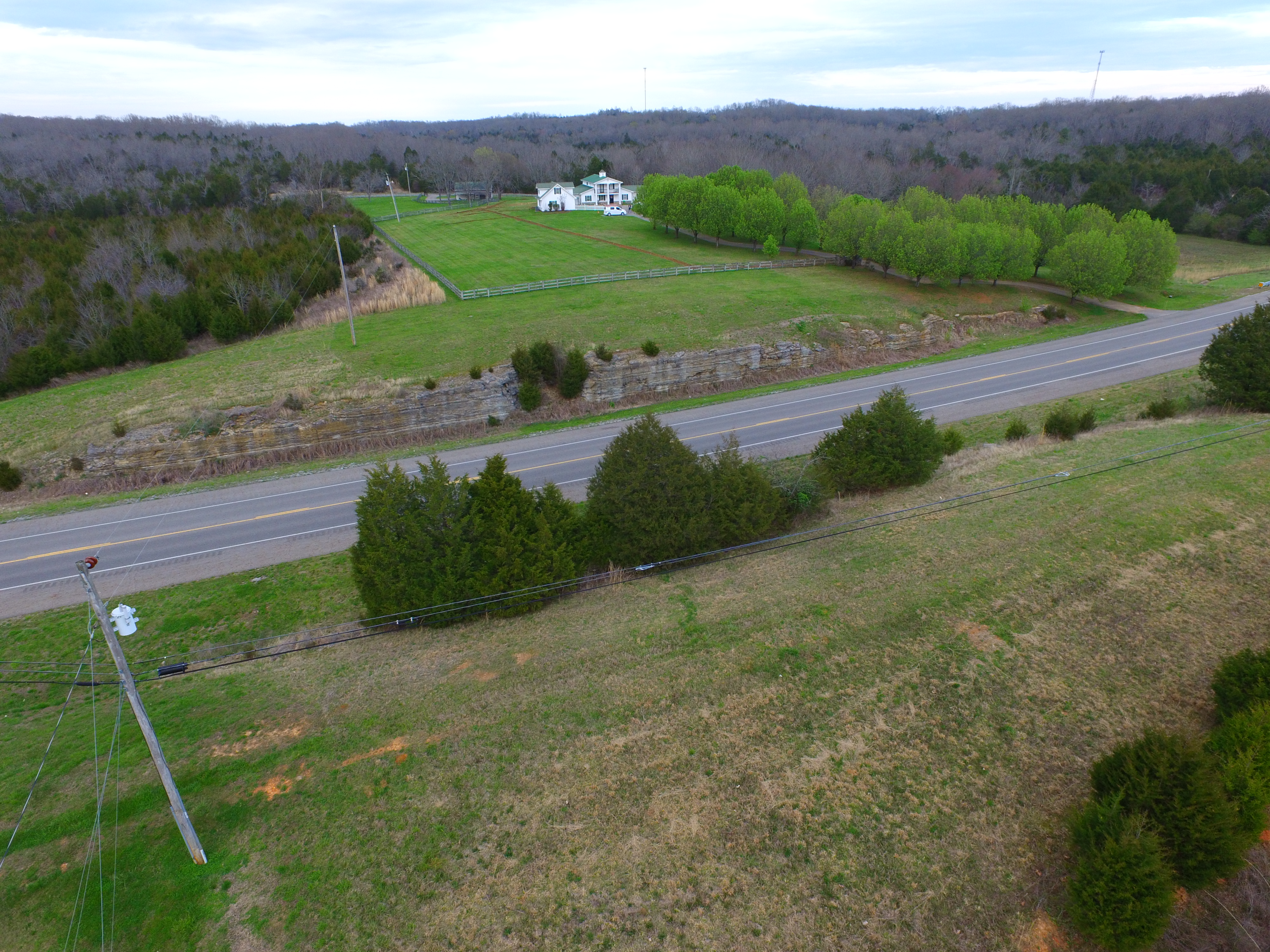
DJI_0021 (1)
Topographic Map of Lewisburg, TN, USA
Find elevation by address:

Places near Lewisburg, TN, USA:
Marshall County
Franklin Pike
Hwy 40, Lewisburg, TN, USA
730 Franklin Ave
Hickory Dr, Lewisburg, TN, USA
442 Haynes St
Lewisburg
201 Garrett Pkwy
Spring Street
1217 W Commerce St
157 Rocky Rd
1337 Springplace Rd
1240 S Ellington Pkwy
455 Skyline Dr
Lakehill Circle
Belfast
1232 Gills Chapel Rd
Yell Rd, Lewisburg, TN, USA
2210 Talley Rd
2718 Fishing Ford Rd
Recent Searches:
- Elevation of Congressional Dr, Stevensville, MD, USA
- Elevation of Bellview Rd, McLean, VA, USA
- Elevation of Stage Island Rd, Chatham, MA, USA
- Elevation of Shibuya Scramble Crossing, 21 Udagawacho, Shibuya City, Tokyo -, Japan
- Elevation of Jadagoniai, Kaunas District Municipality, Lithuania
- Elevation of Pagonija rock, Kranto 7-oji g. 8"N, Kaunas, Lithuania
- Elevation of Co Rd 87, Jamestown, CO, USA
- Elevation of Tenjo, Cundinamarca, Colombia
- Elevation of Côte-des-Neiges, Montreal, QC H4A 3J6, Canada
- Elevation of Bobcat Dr, Helena, MT, USA