Elevation of Lewes Georgetown Hwy, Harbeson, DE, USA
Location: United States > Delaware > Sussex County > Harbeson >
Longitude: -75.288084
Latitude: 38.72543
Elevation: 10m / 33feet
Barometric Pressure: 101KPa
Elevation Map:
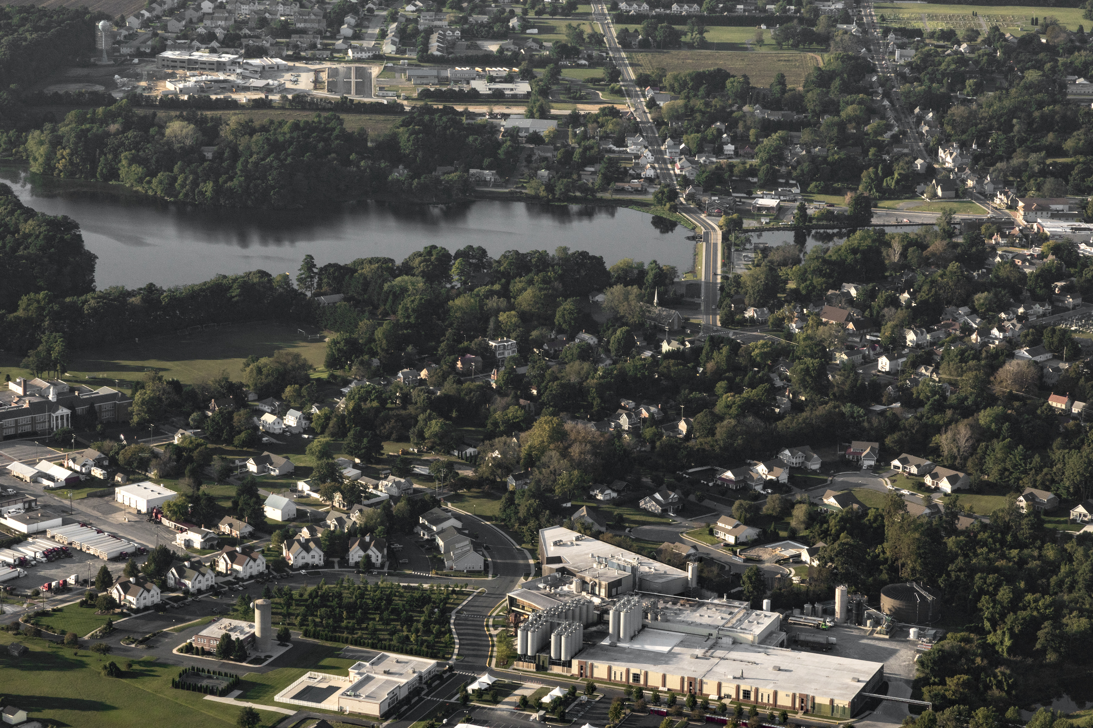
Satellite Map:
Related Photos:
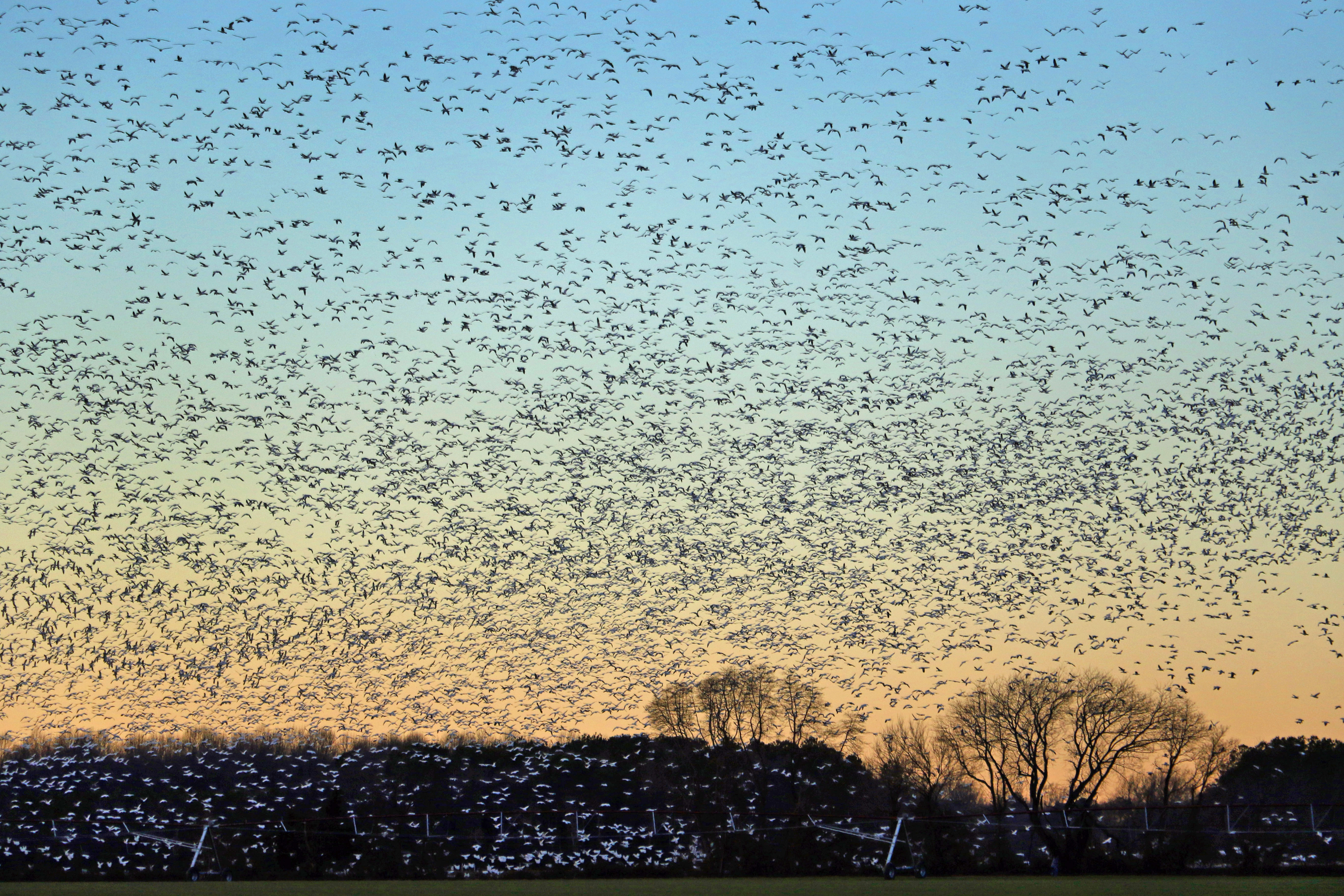
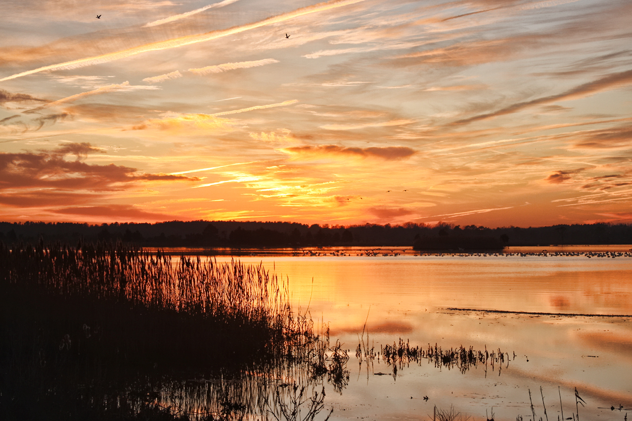
Snow Geese fill the sky at Sunset...6O3A5492Ab

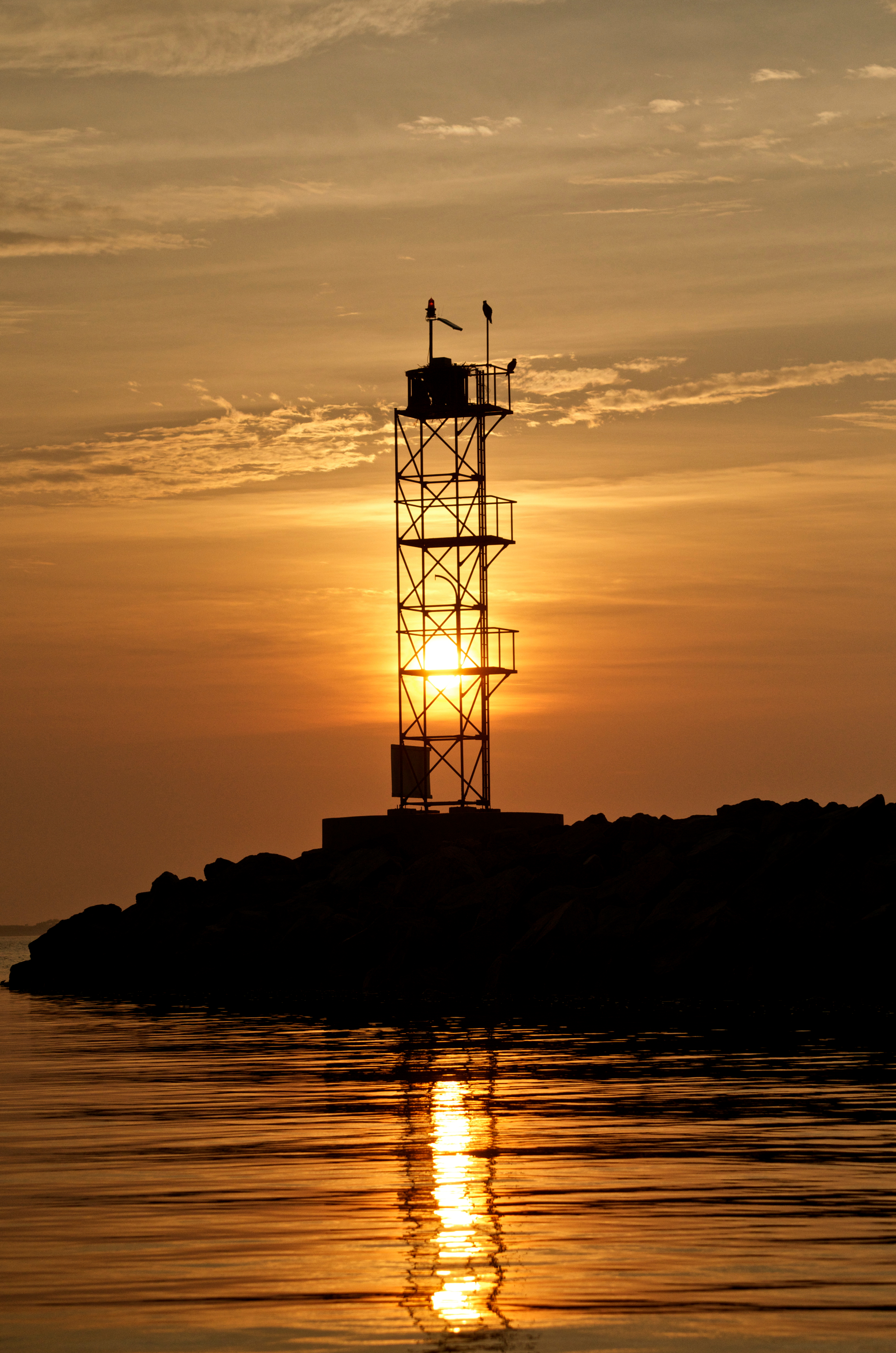
Blue hour over Lewes
Artwork in Framing
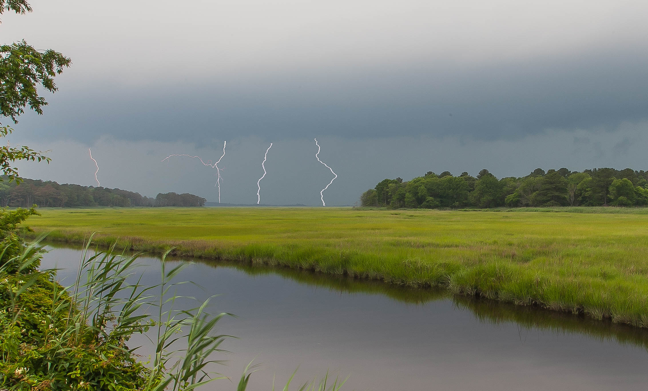
Lightning Over Great Marsh
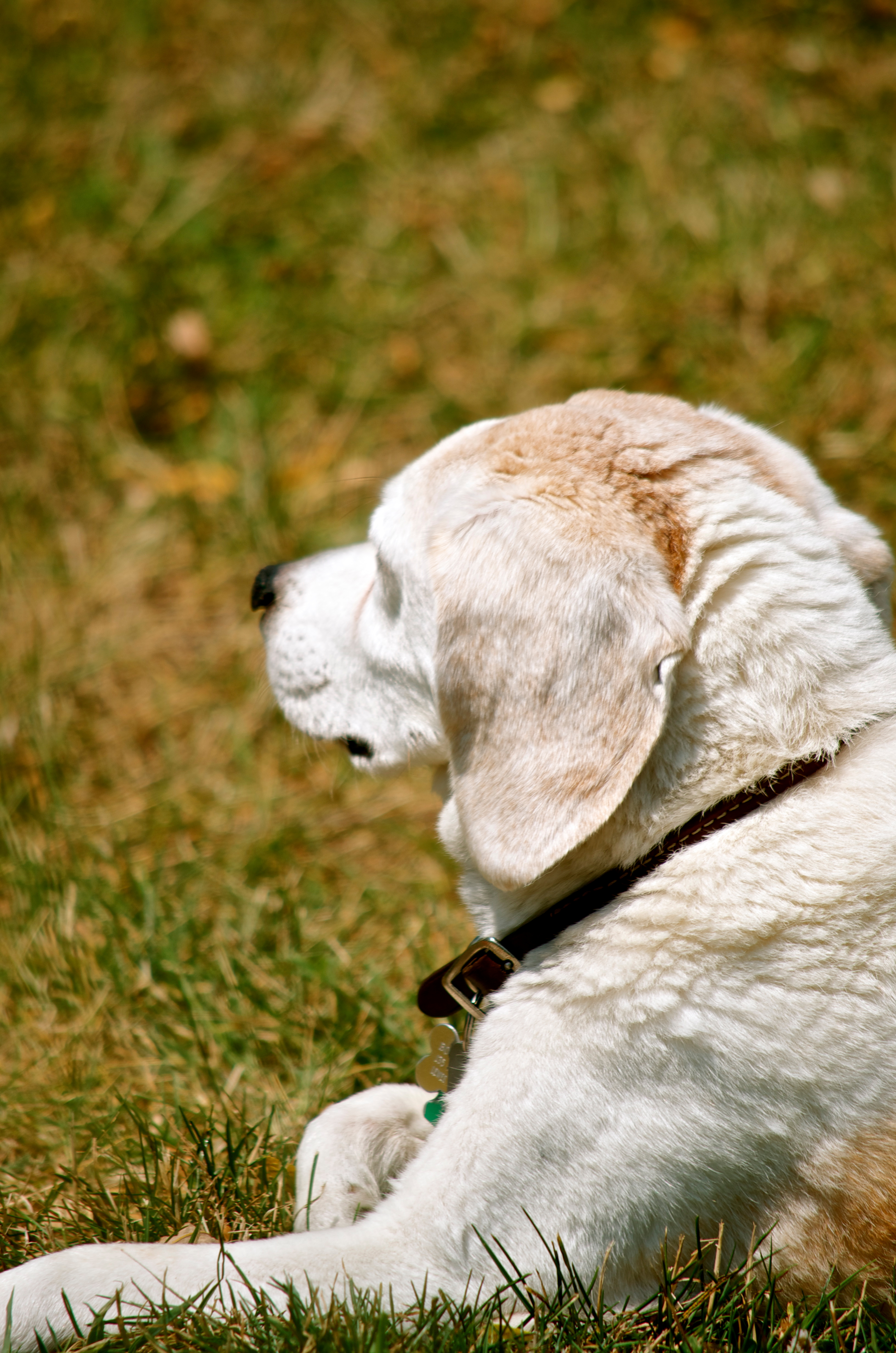
Bosco Relaxing (Explored 7/10/12)

Mexican Folk Dancers

Painted Lady Butterfly

Frostbitten Berries - Explored (2/6/13)
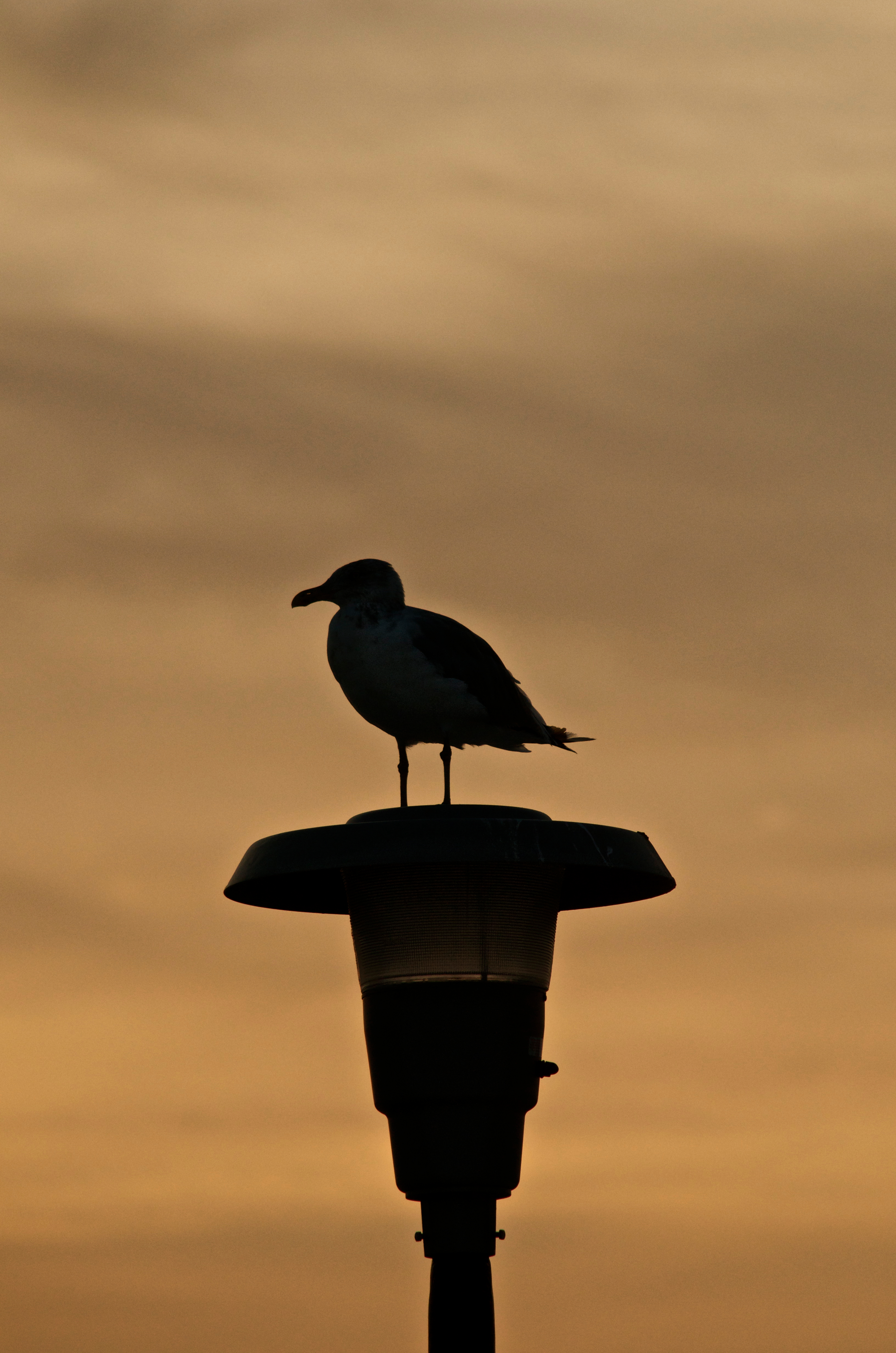
Seagull Silhouette - Explored (9/17/12)

Egret Island
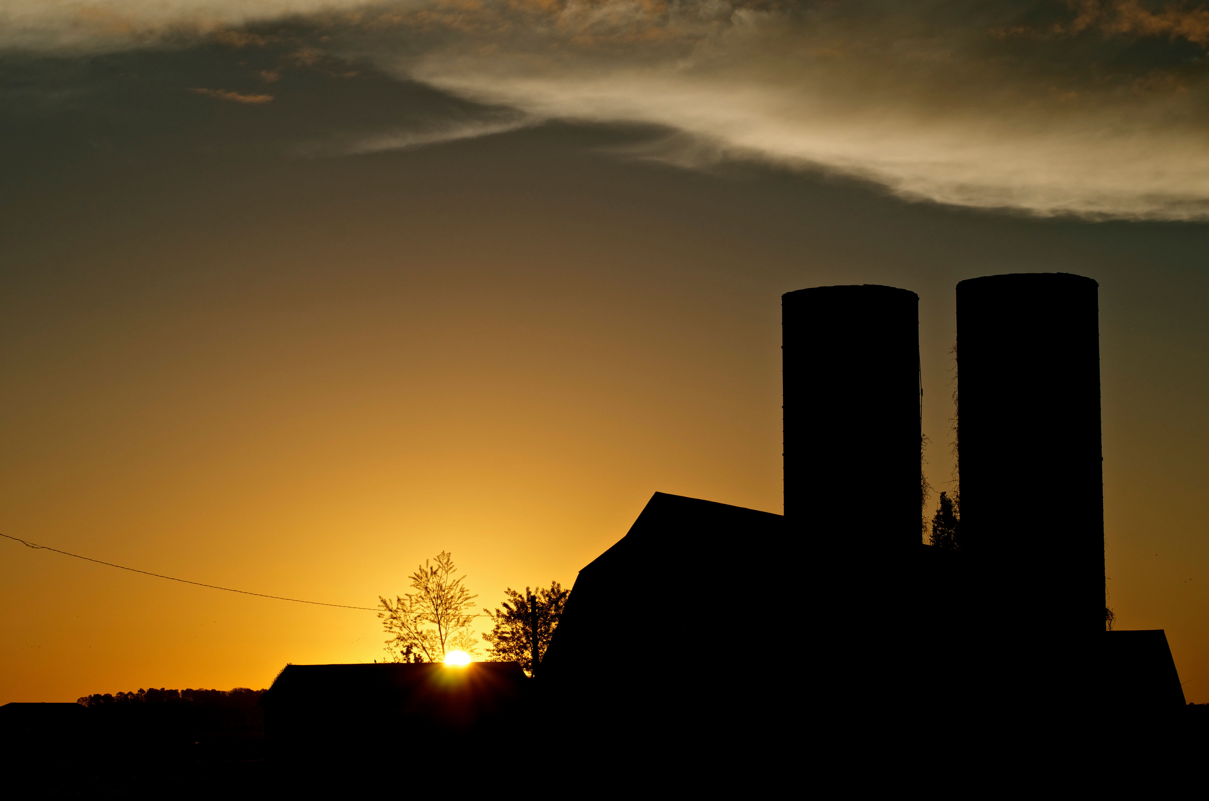
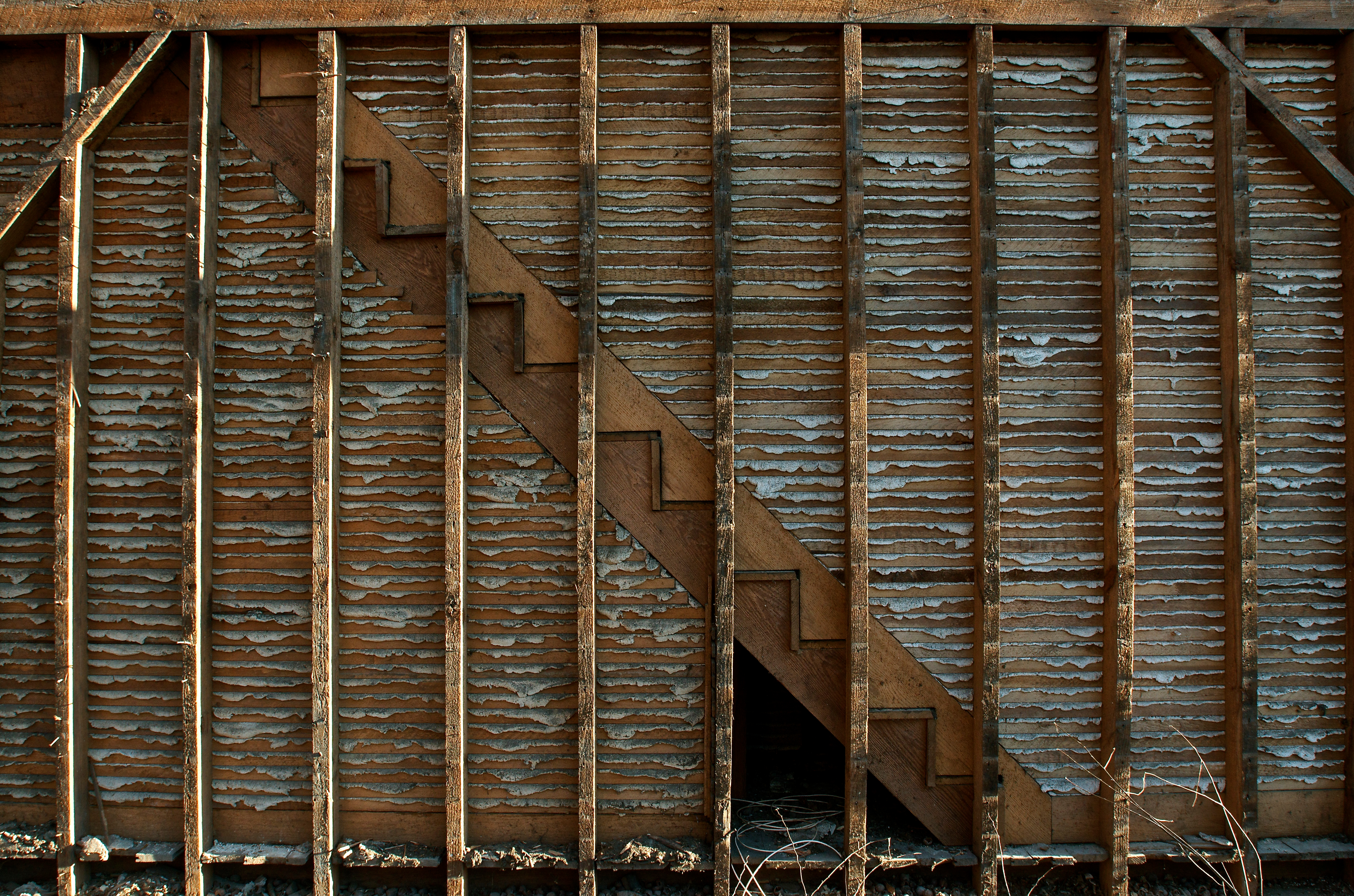
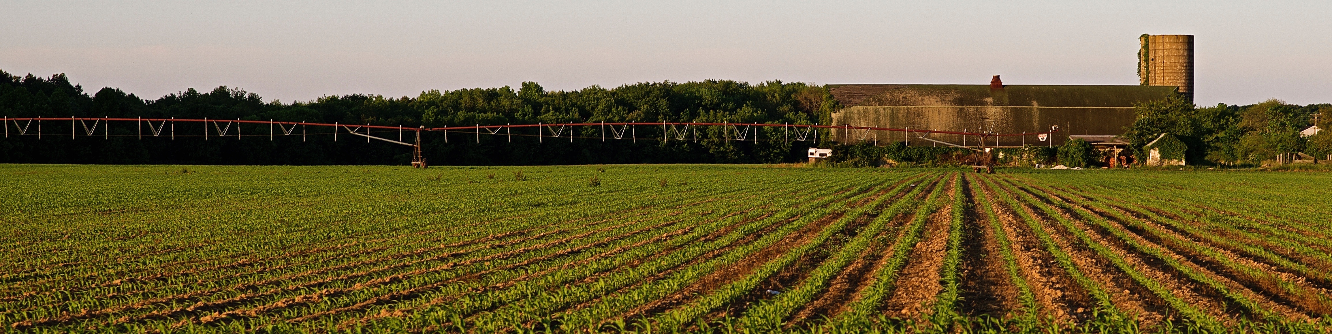
The Lewes Barn - Explored (4/19/13)
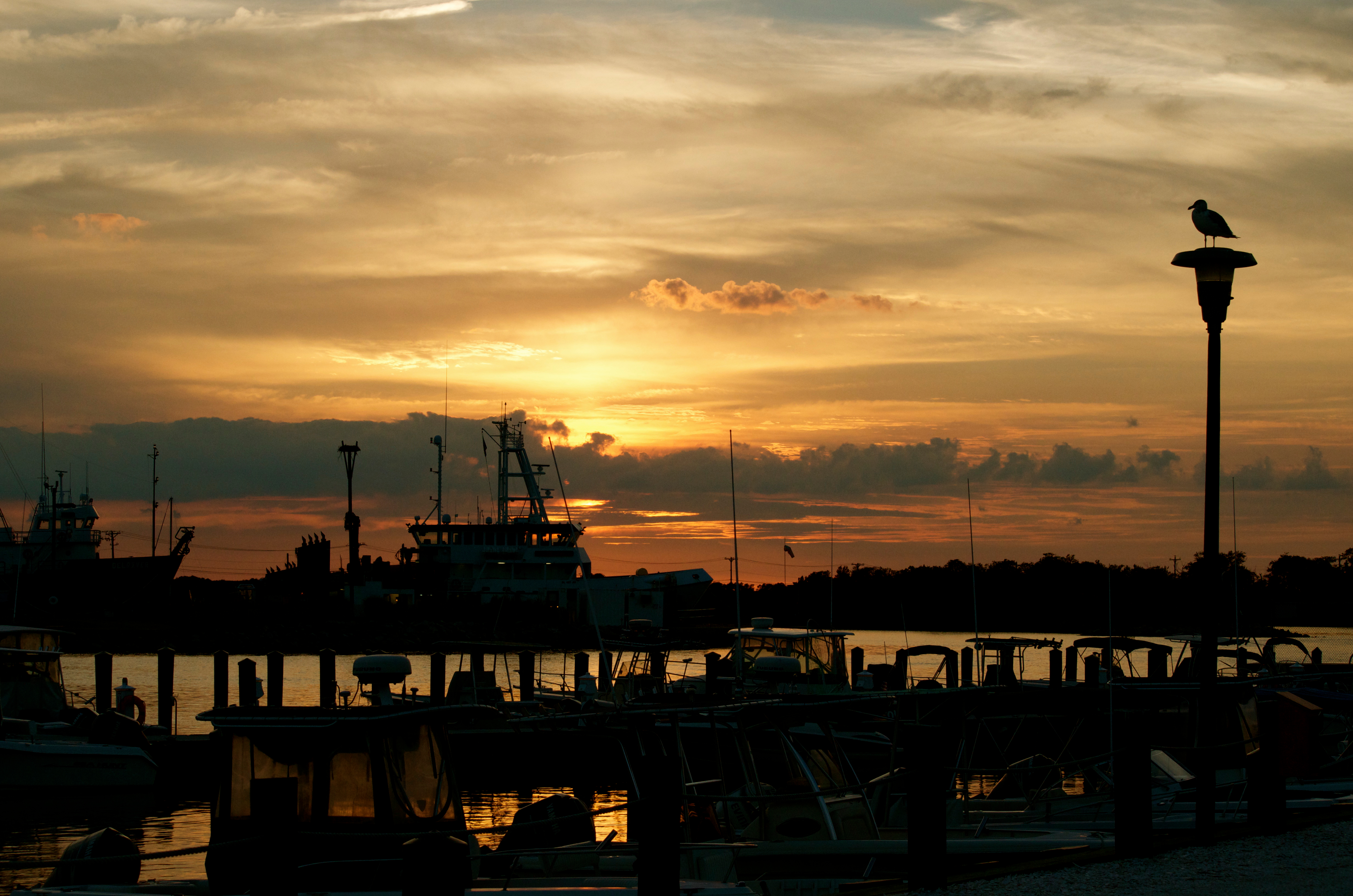
Sunset over the marina
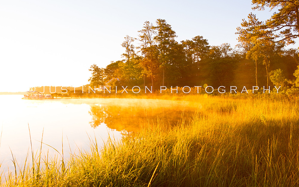
Early Morning Sun
Cape May - Lewes Ferry Wall

Lewes Landmark

Fishing on the wall - B&W

The 1950 Riley

Heron in the morning...
Canary Creek Sunset Reflected in Still Waters at Slack Tide
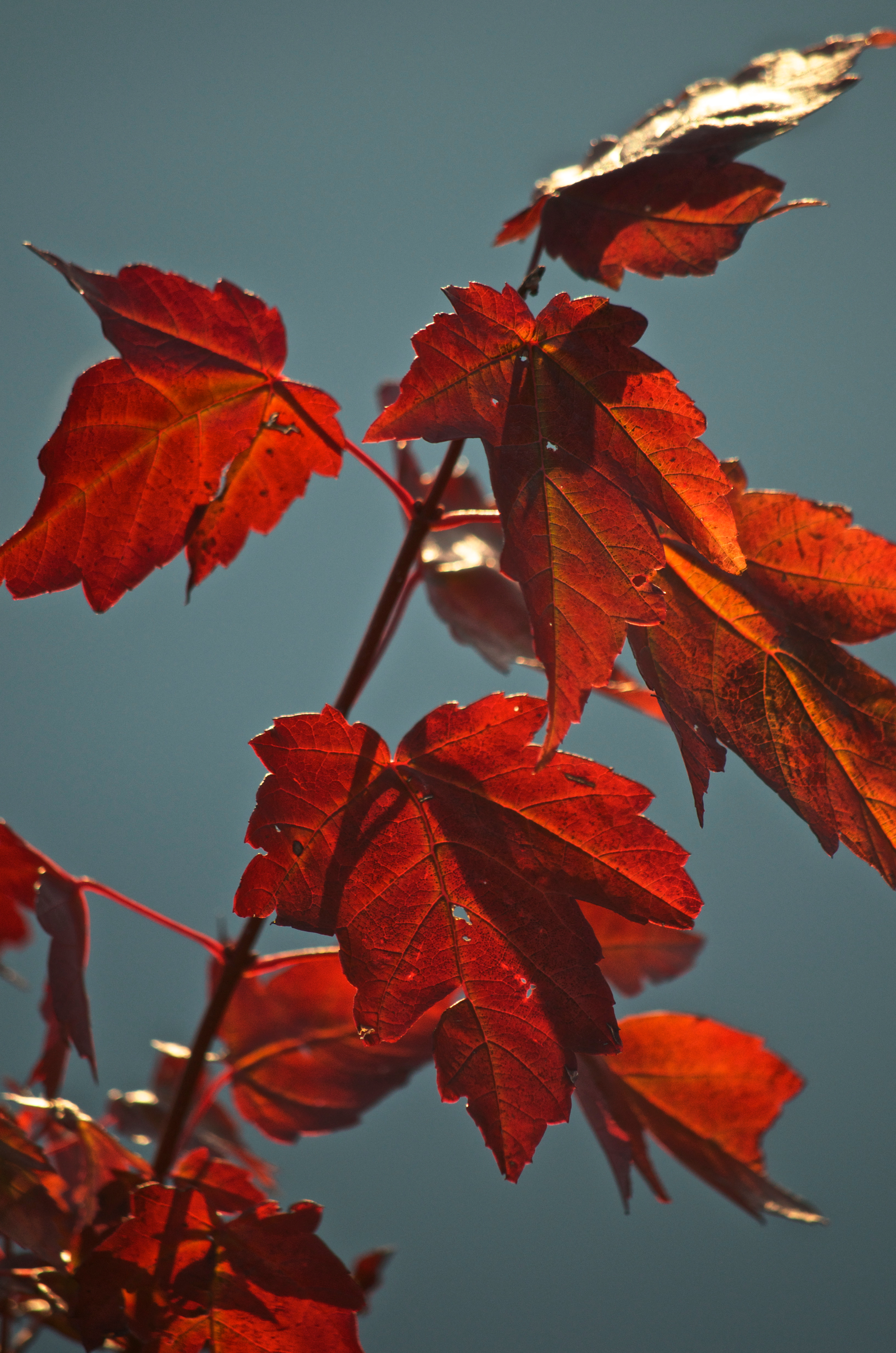
Red Maple

Swan at Tranquil Trail Cache
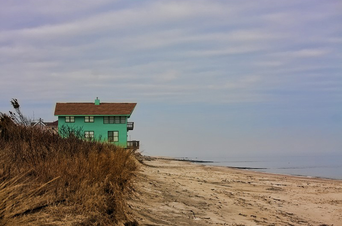
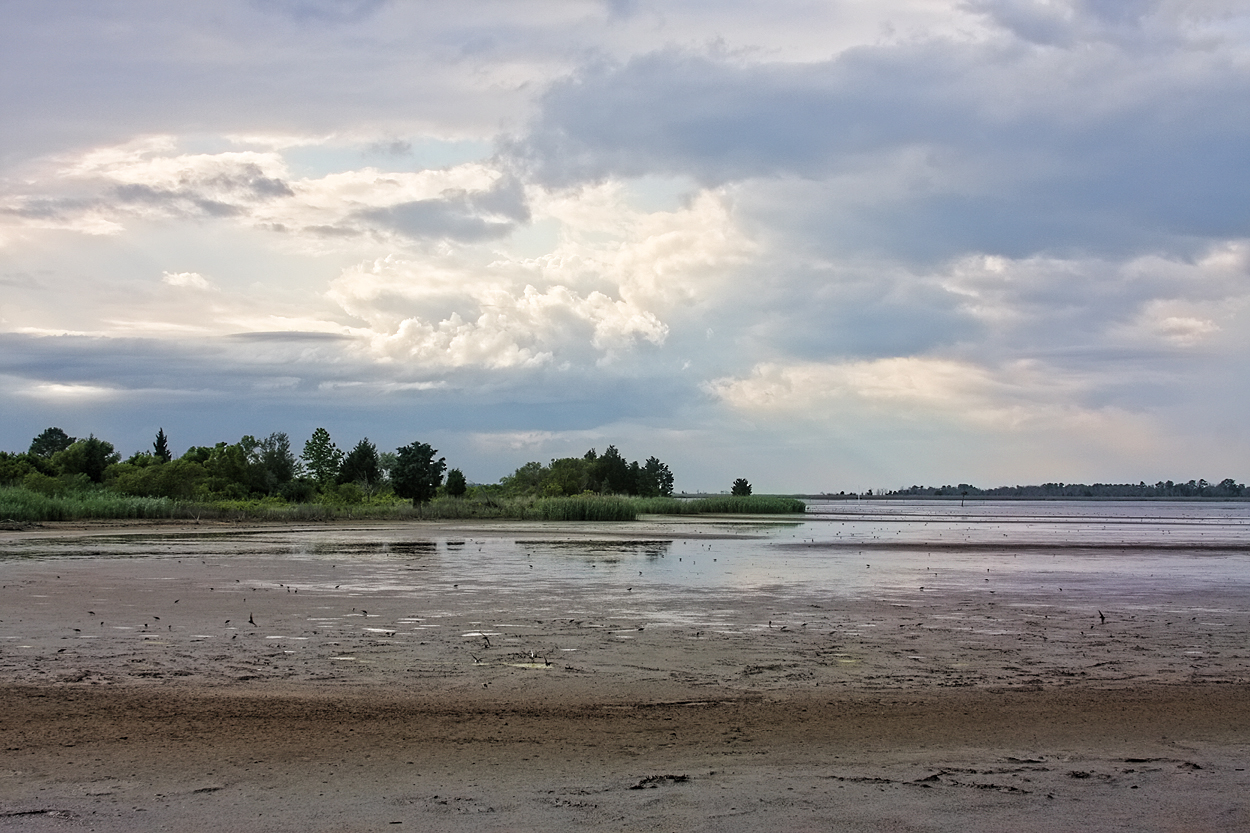
Broadkill Beach
All in a Row
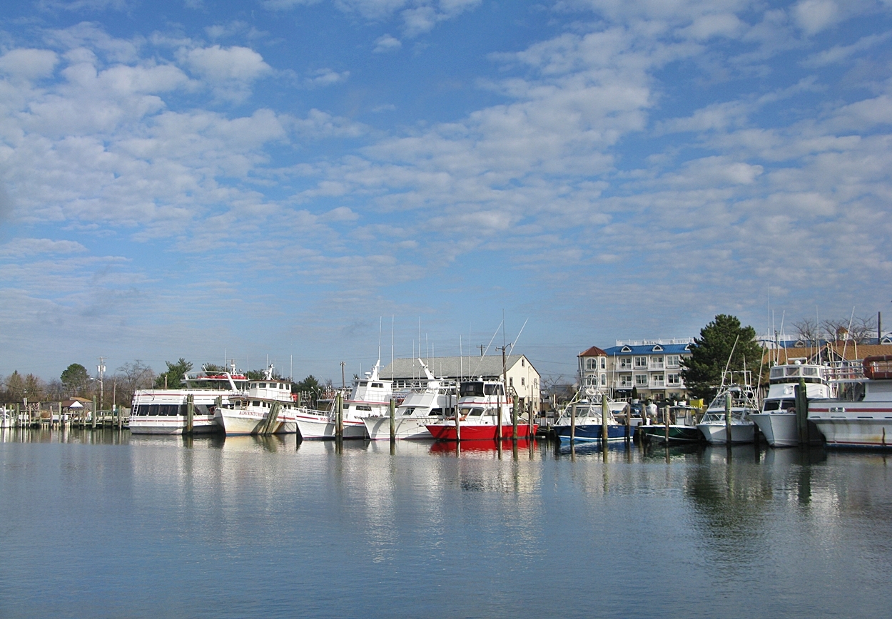
Lewes Harobr

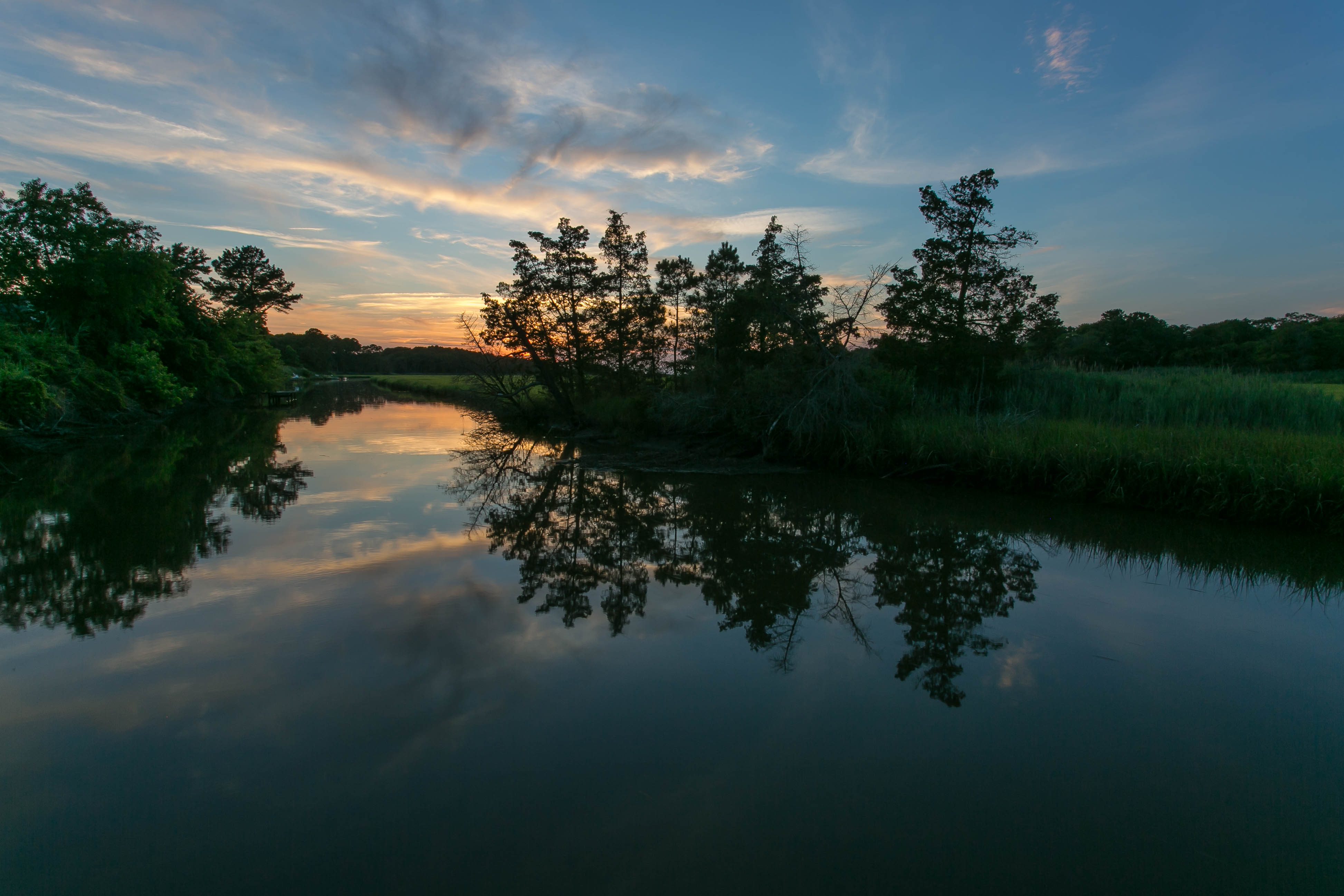
Canary Creek winds through the Great Marsh
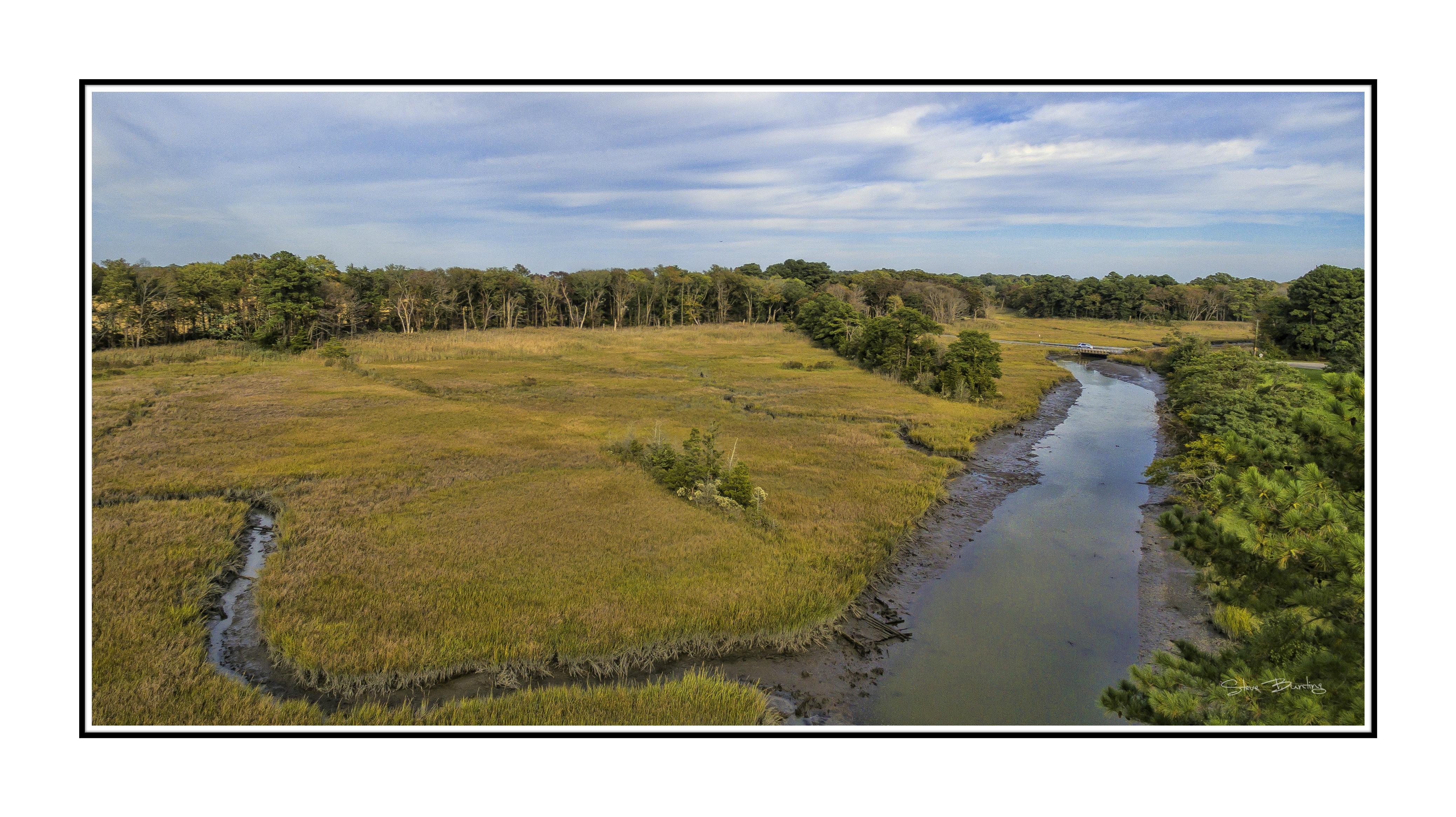
Upper Reaches of Great Marsh Wetlands
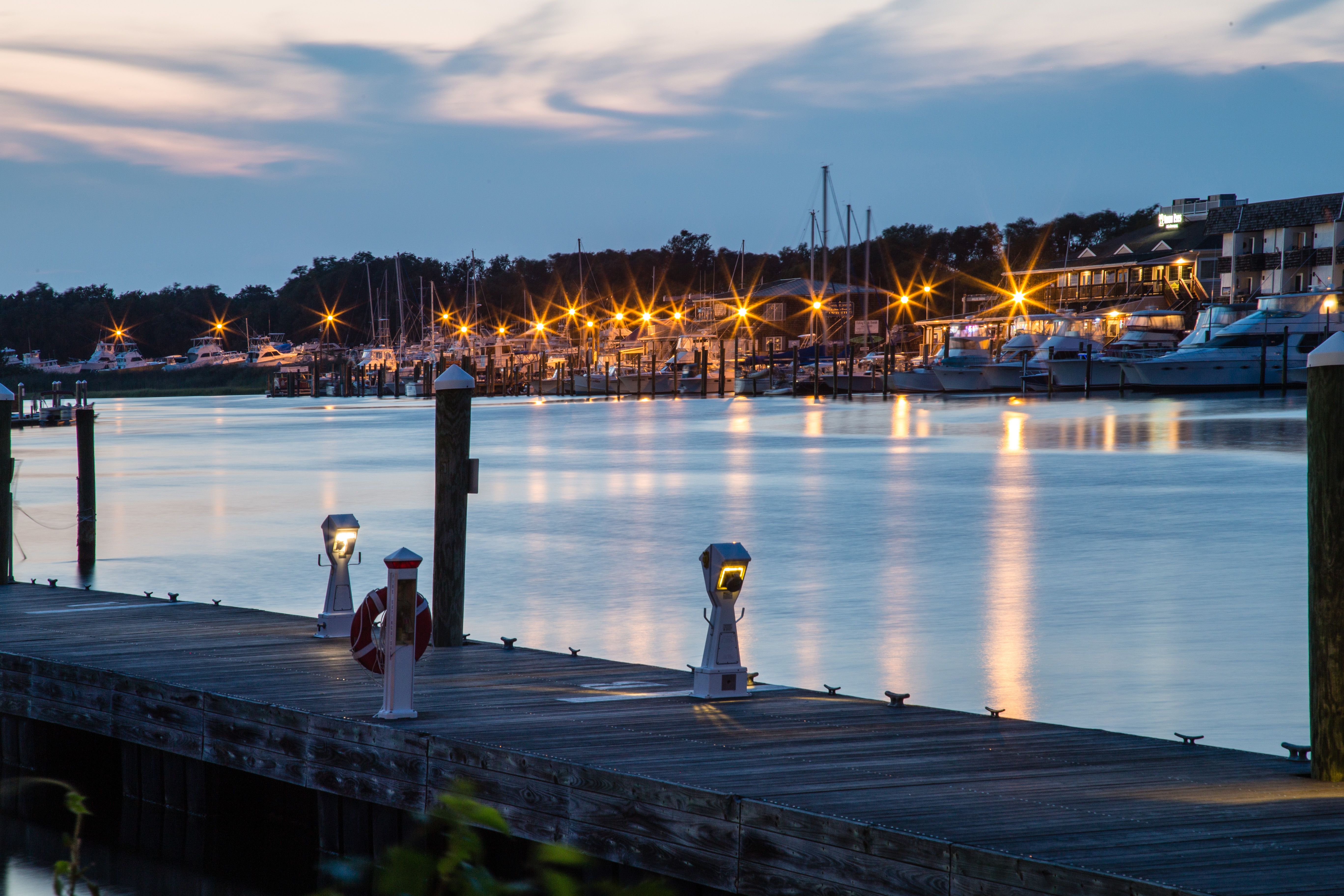
Lewes Docks at Twilight
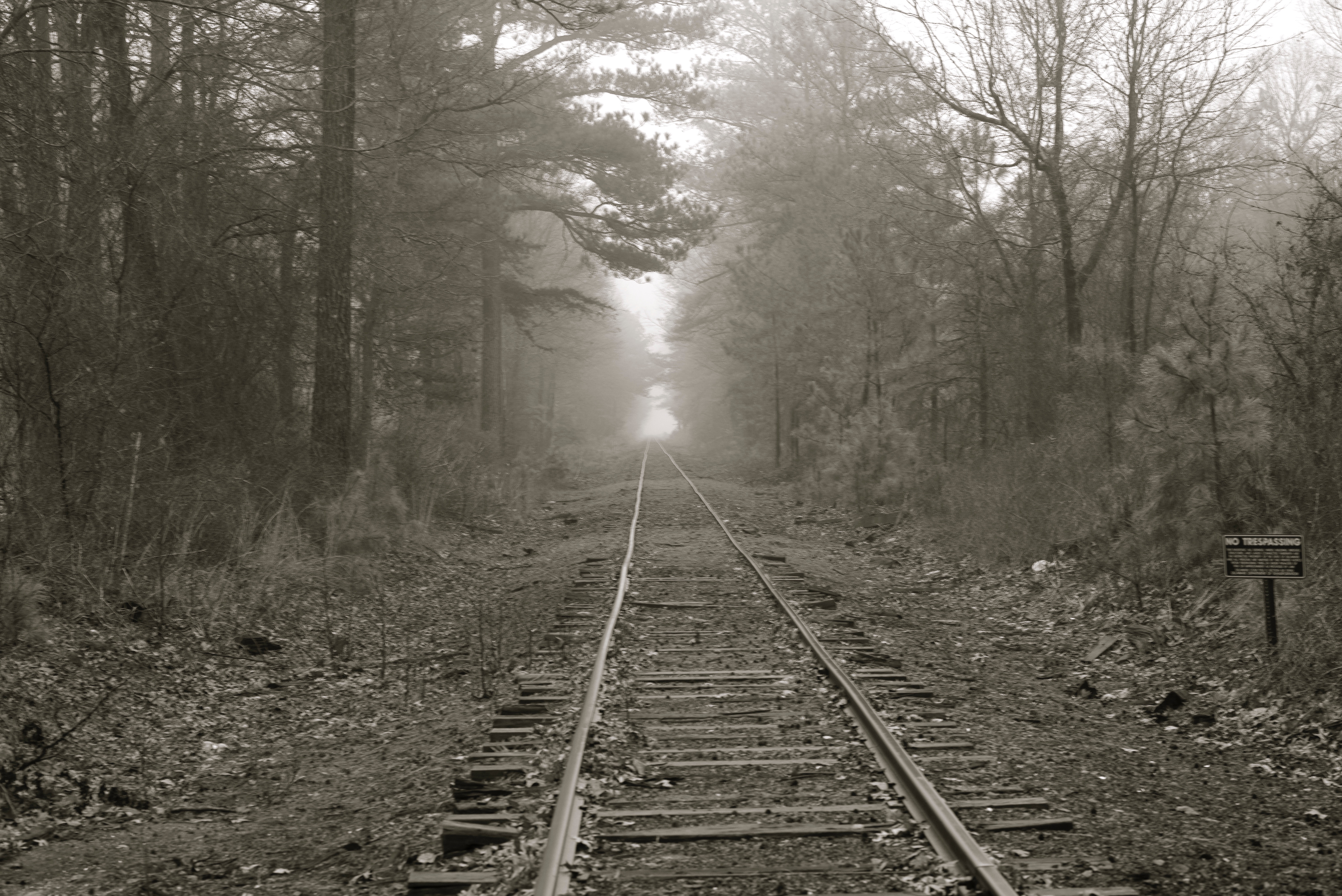
Into the Fog
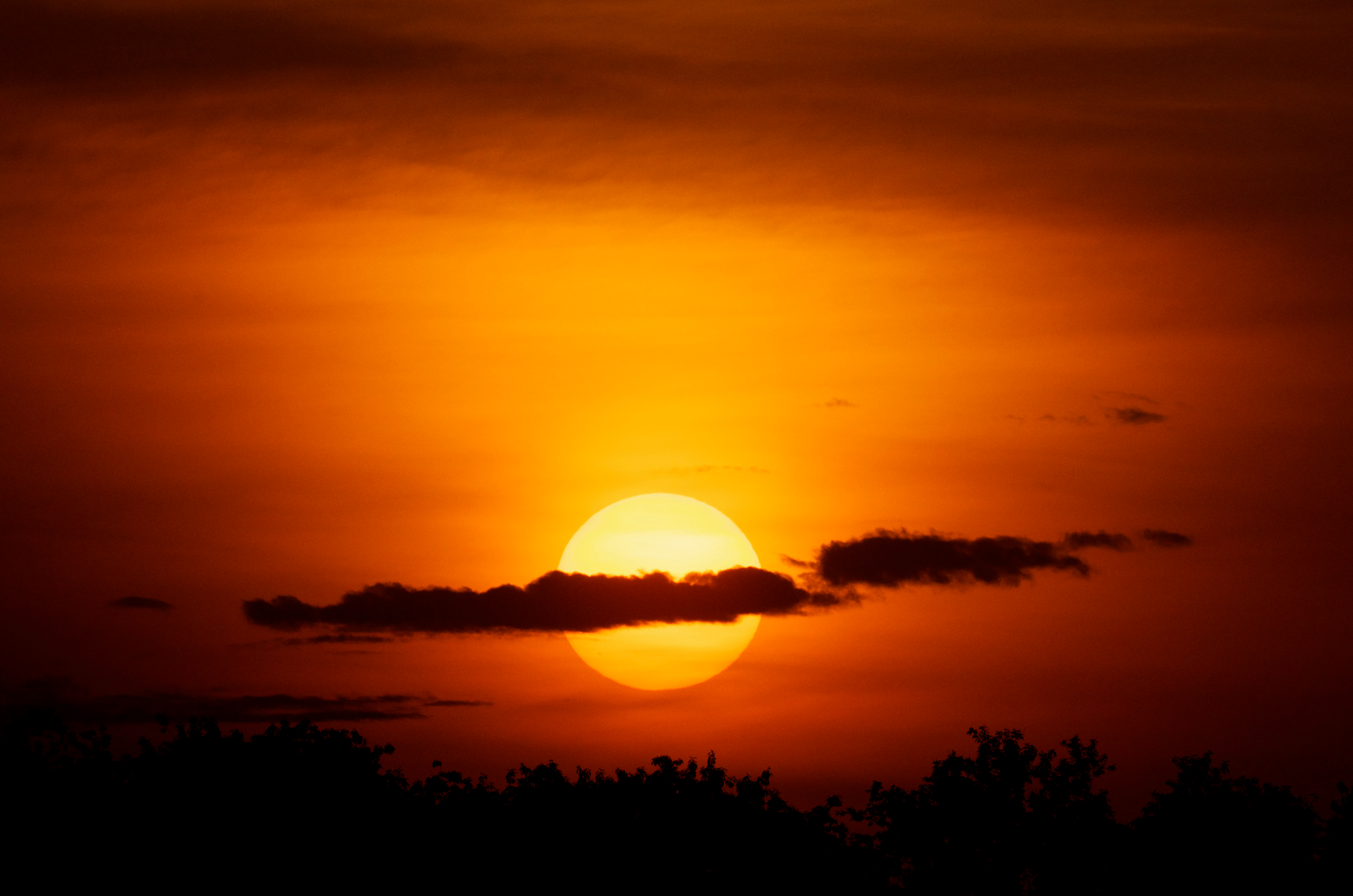
Delaware Sunset
Prime Hook

sparkle... (Explored Nov 18, 2011)
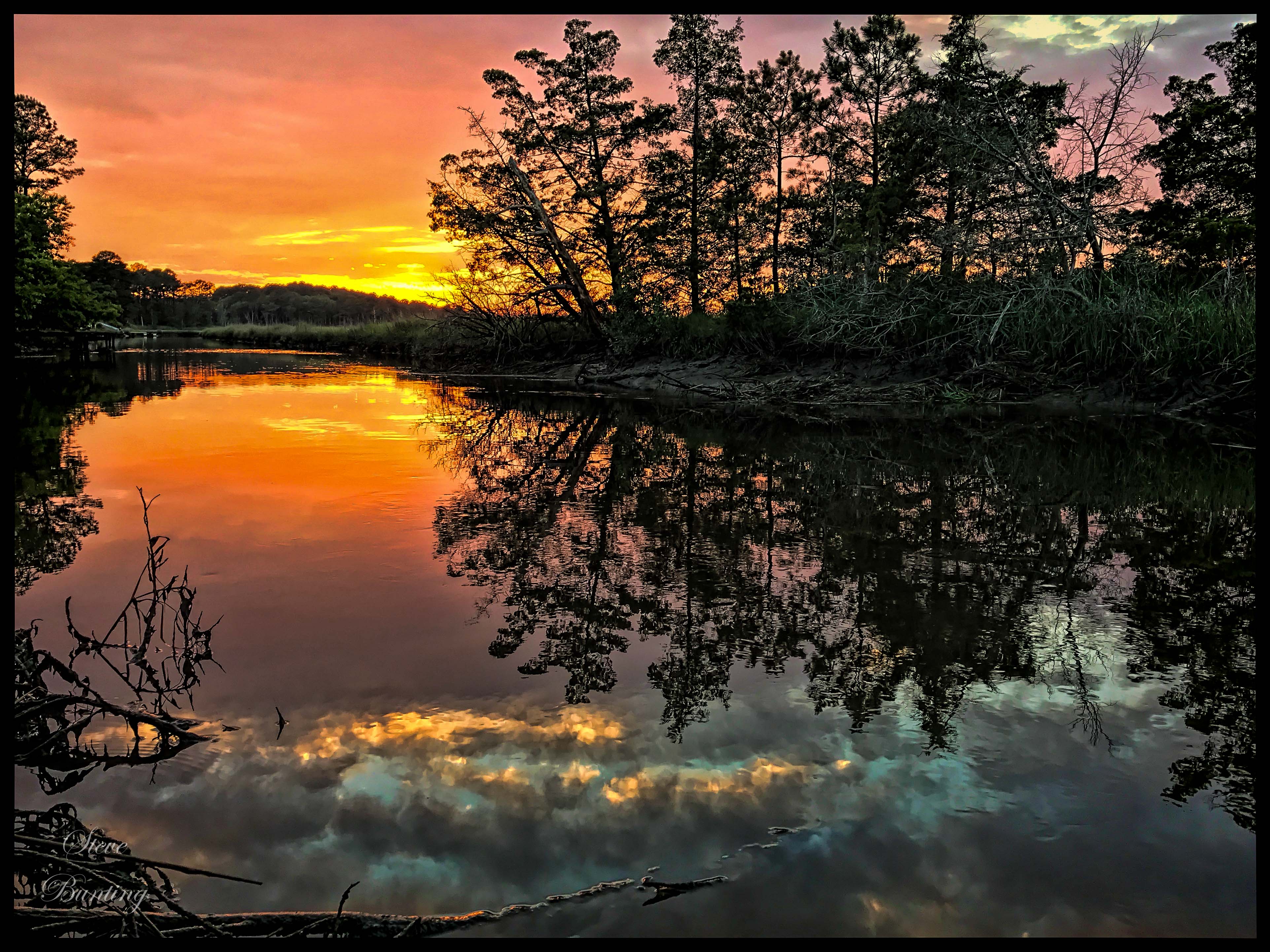
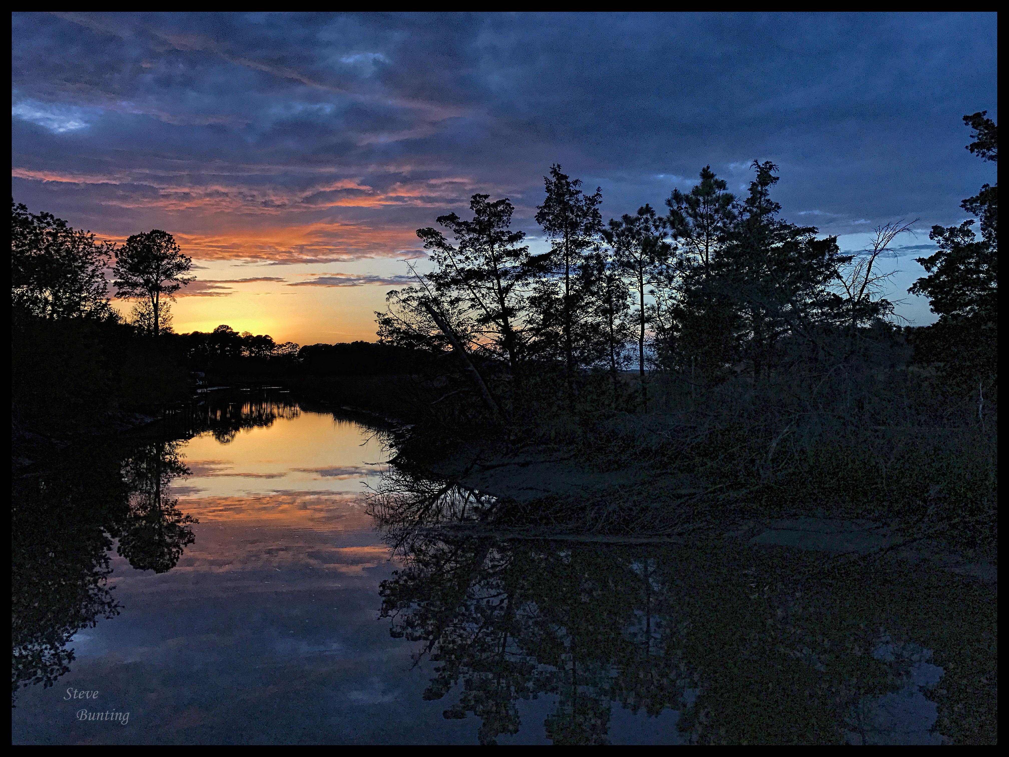
Canary Creek Sunset

Sunset Reflections
Sunset Reflections Canary Creek (Lewes, DE)
Gilded Grasses.

Brilliant Colors
img211.jpg
Milton, DE

LEWES SUNSET : WHEN THE COWS COME HOME - 11.02.2012
Topographic Map of Lewes Georgetown Hwy, Harbeson, DE, USA
Find elevation by address:

Places near Lewes Georgetown Hwy, Harbeson, DE, USA:
Lewes Georgetown Hwy, Harbeson, DE, USA
Harbeson
18865 Quarterhorse Trail
25236 Rd 254
Alcott Way
Emerson Way
Bennum Switch Rd, Georgetown, DE, USA
27354 Walking Run
Gravel Hill
27332 Walking Run
27332 Walking Run
27332 Walking Run
27332 Walking Run
27332 Walking Run
Walking Run
W Meadowview Dr, Milton, DE, USA
Andersons Corner
Mariners Circle
Heritage Boulevard
200 Prospect St
Recent Searches:
- Elevation of Corso Fratelli Cairoli, 35, Macerata MC, Italy
- Elevation of Tallevast Rd, Sarasota, FL, USA
- Elevation of 4th St E, Sonoma, CA, USA
- Elevation of Black Hollow Rd, Pennsdale, PA, USA
- Elevation of Oakland Ave, Williamsport, PA, USA
- Elevation of Pedrógão Grande, Portugal
- Elevation of Klee Dr, Martinsburg, WV, USA
- Elevation of Via Roma, Pieranica CR, Italy
- Elevation of Tavkvetili Mountain, Georgia
- Elevation of Hartfords Bluff Cir, Mt Pleasant, SC, USA