Elevation of Les Préaux, France
Location: France > Normandy > Eure >
Longitude: 0.477153
Latitude: 49.323896
Elevation: 74m / 243feet
Barometric Pressure: 100KPa
Elevation Map:
Satellite Map:
Related Photos:
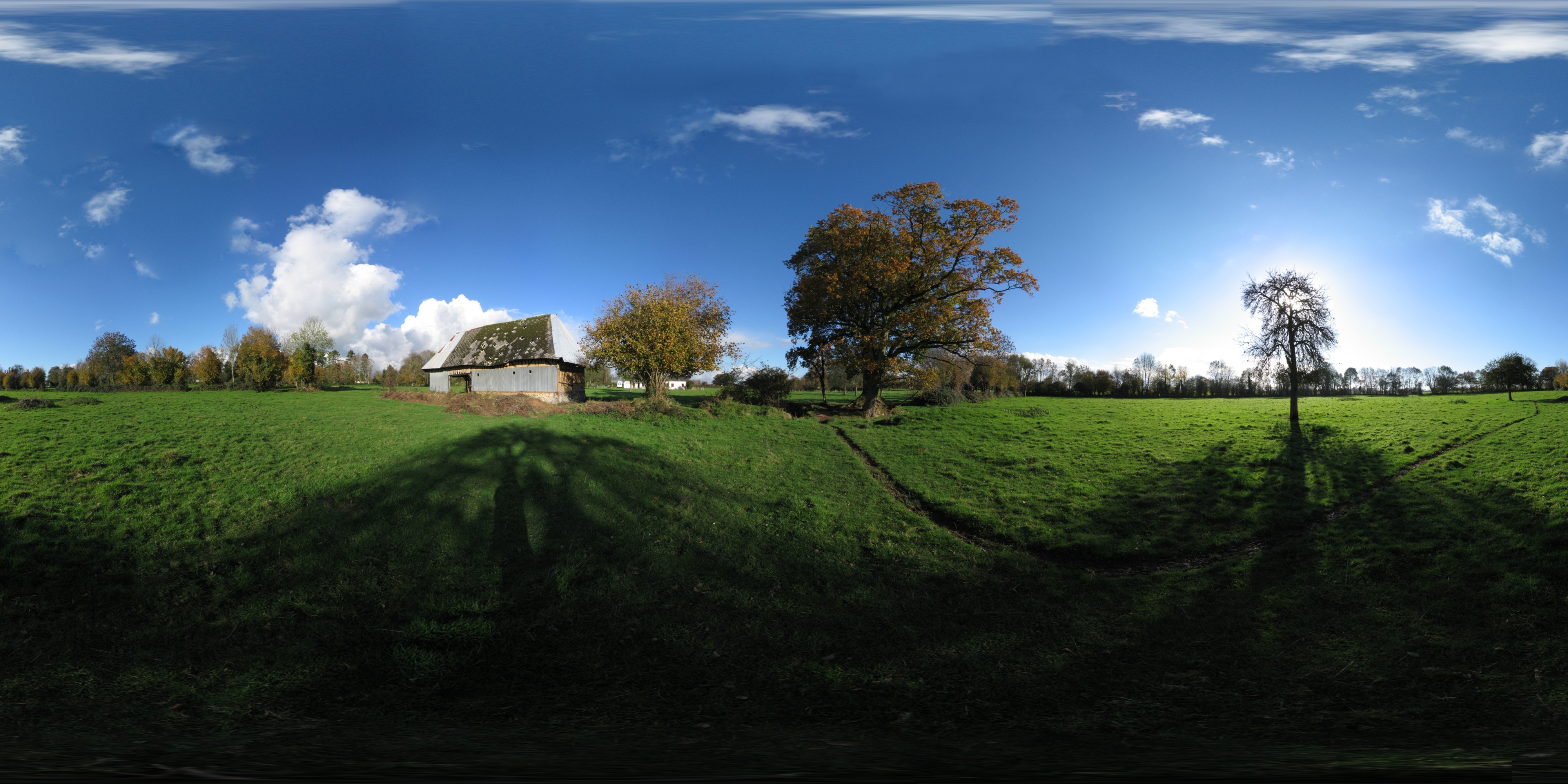
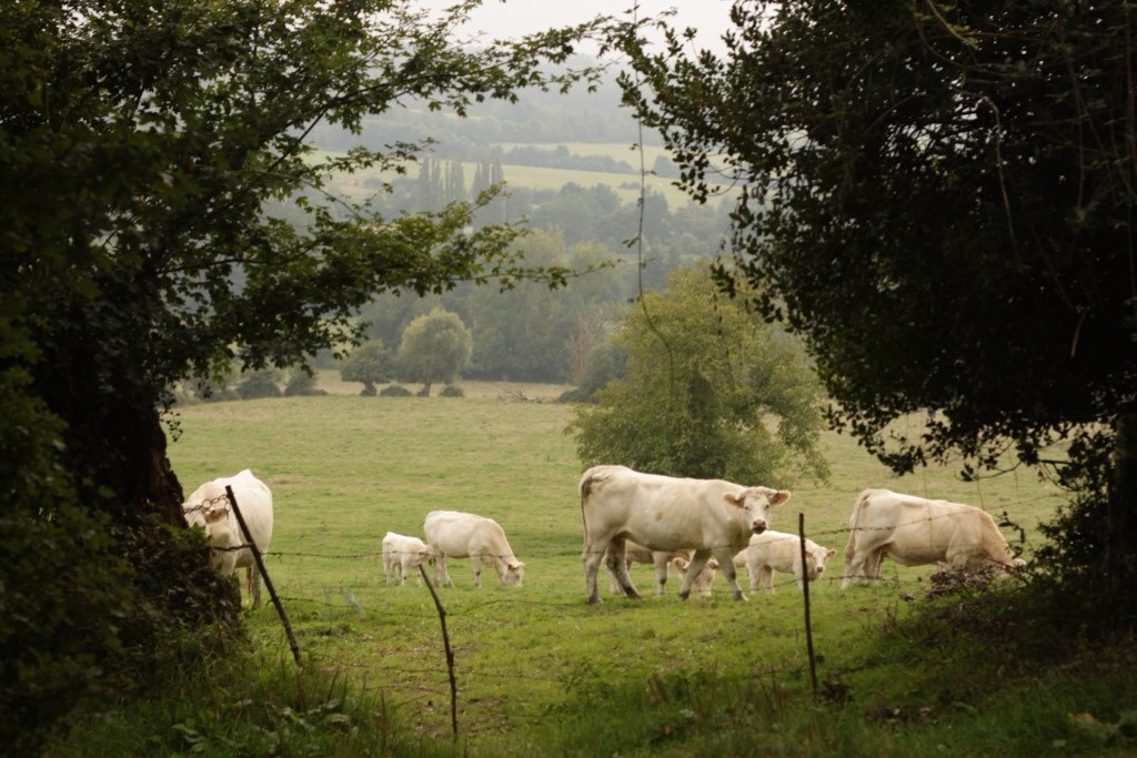
Normandy countryside
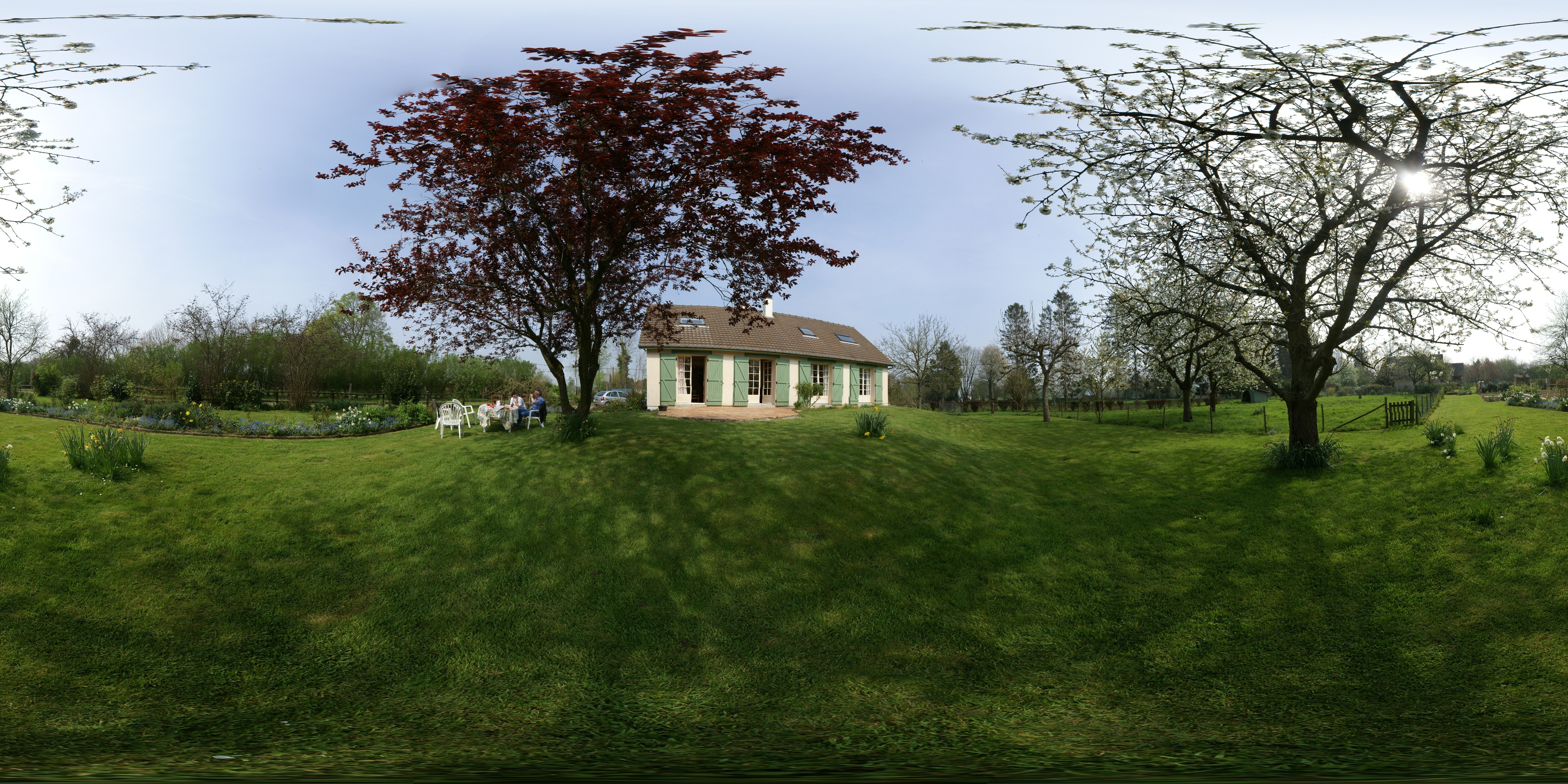
Le Torpt in Spring time

France > Normandie

France > Normandie
Chemin du roi, nature, Normandie
La lande

France > Normandie
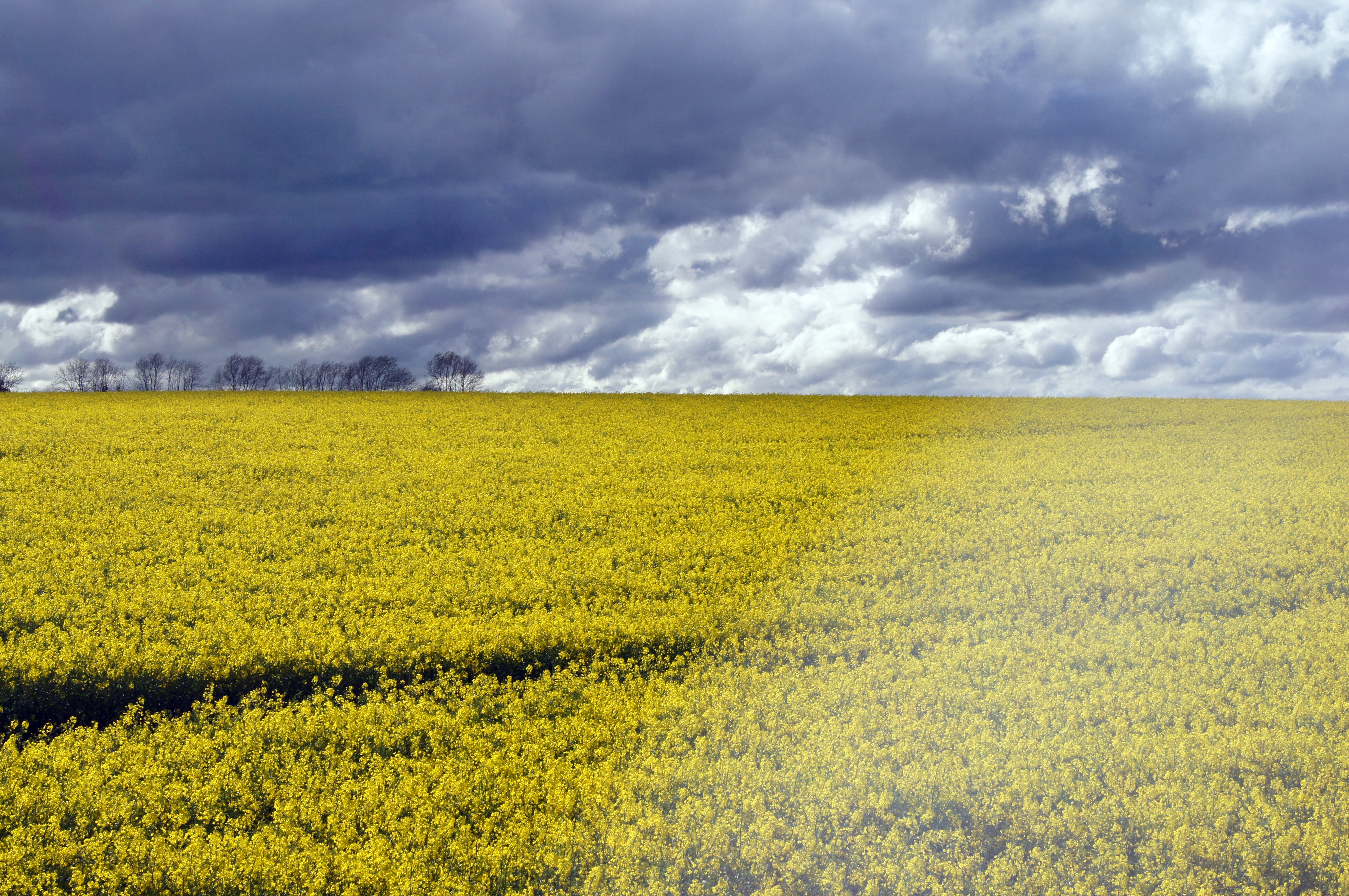
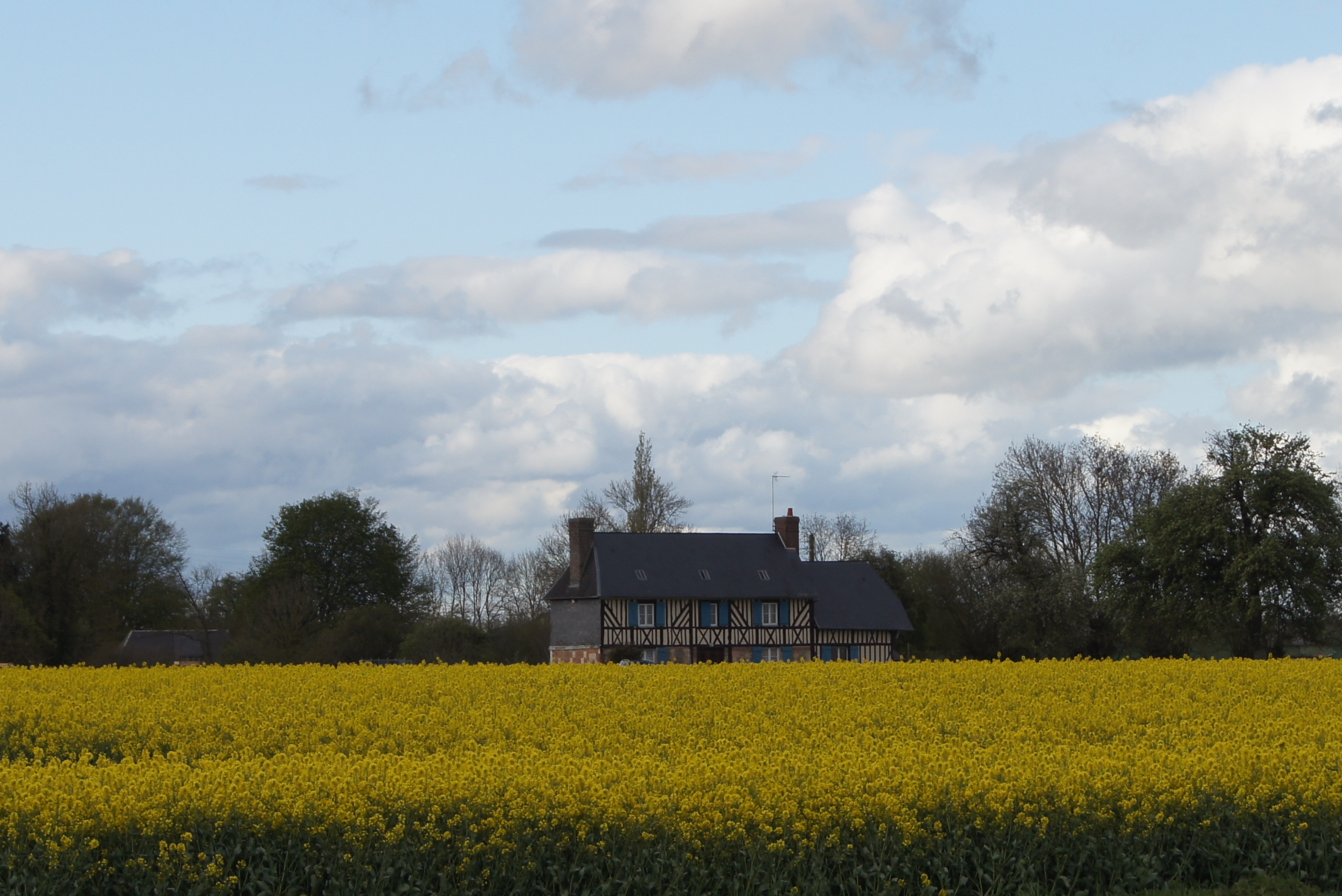
Champs de Colza - Normandie
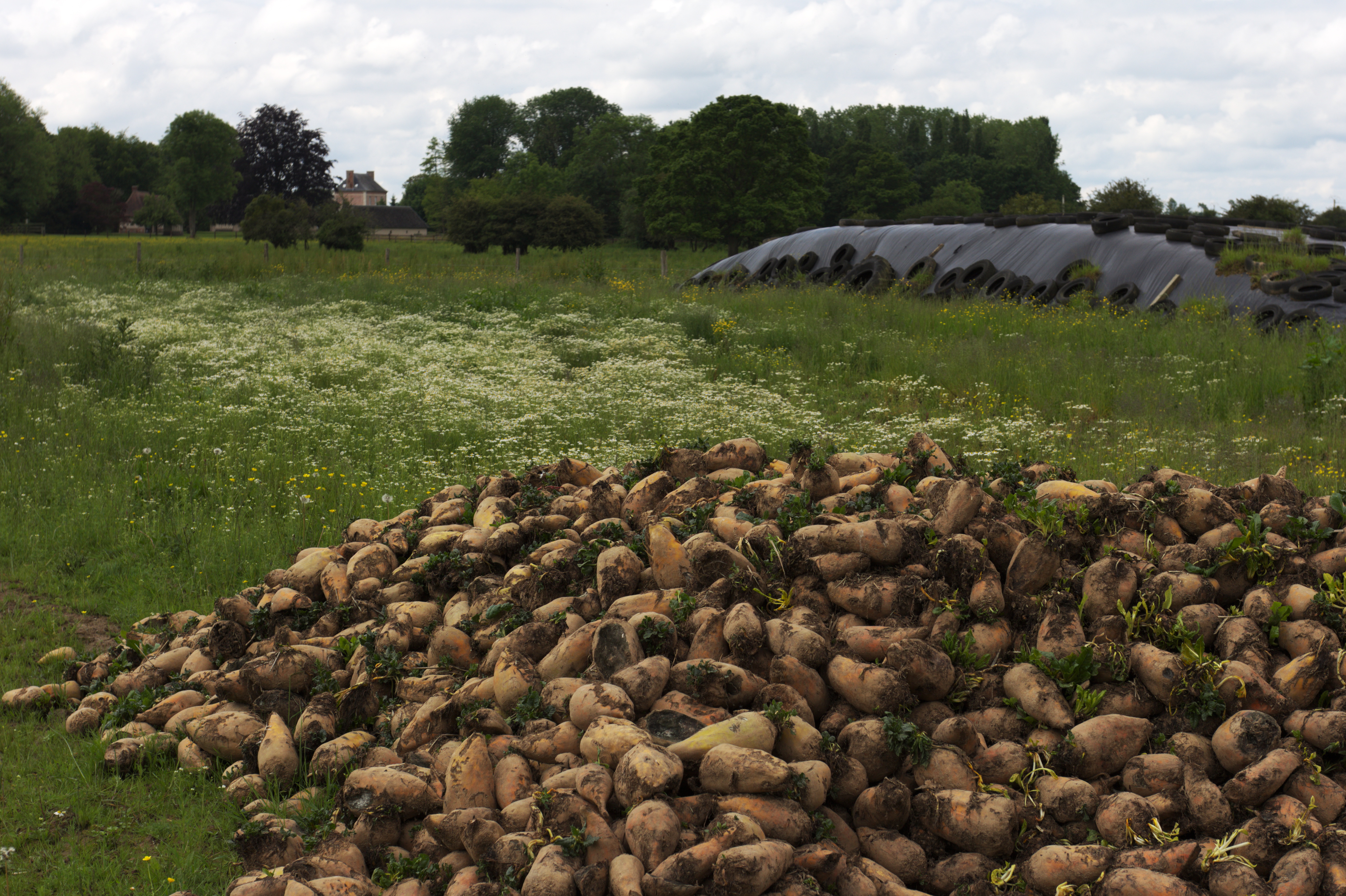
Rübenwal

La lande
misty landscape

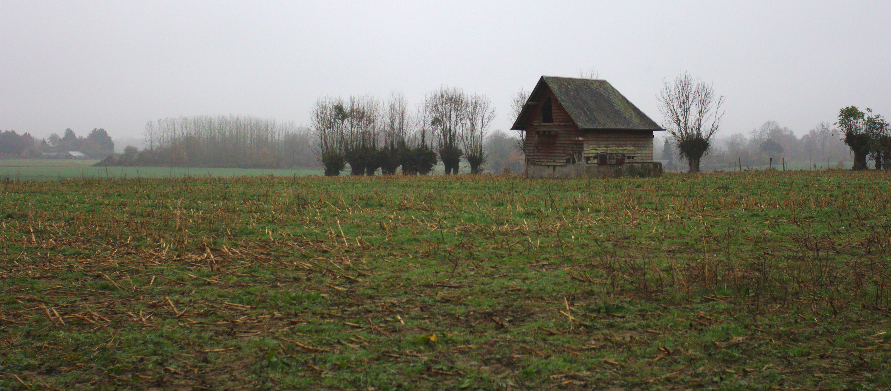
Un abri incertain

Panorama du Marais Vernier
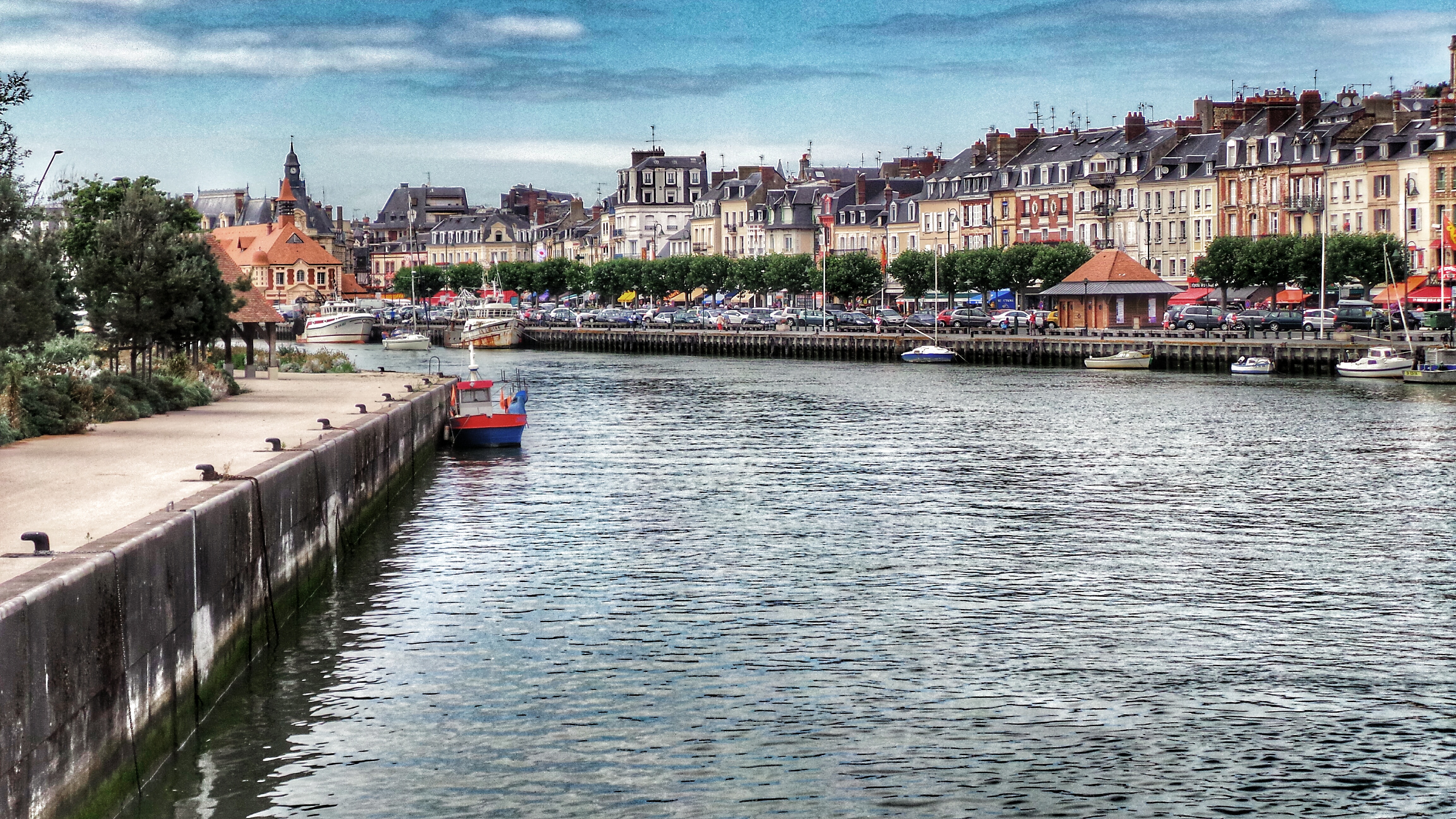
Trouville Normandy 20140715_155840_1A
La lande
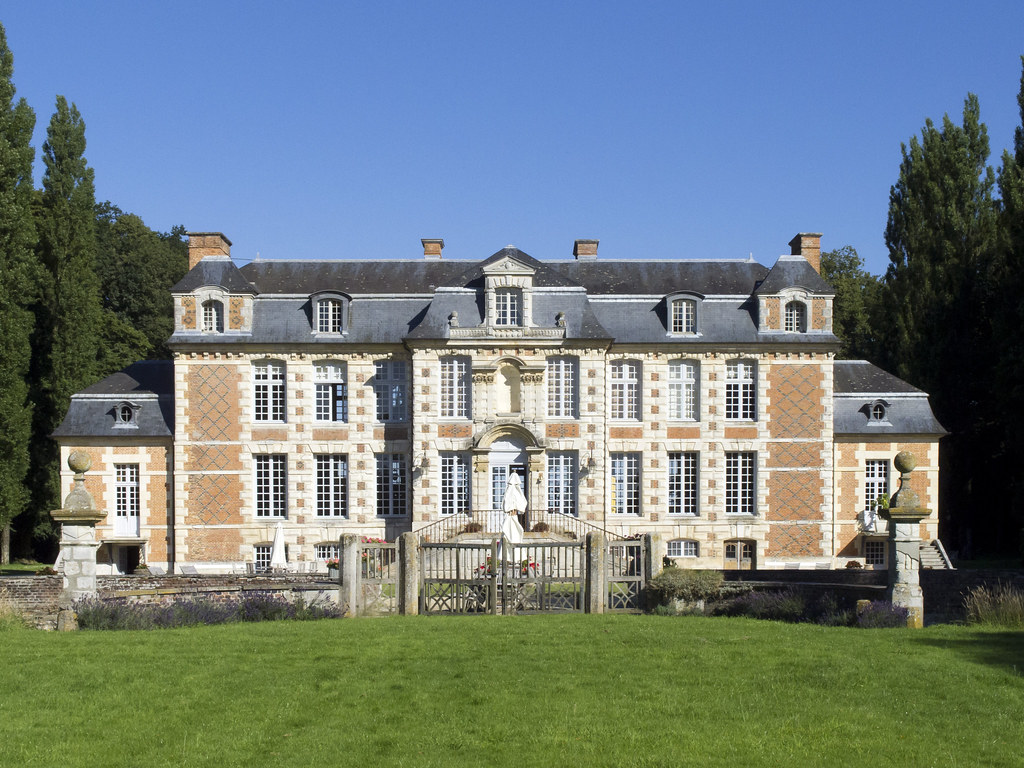
F_Chateau_de_Saint-Maclou_01
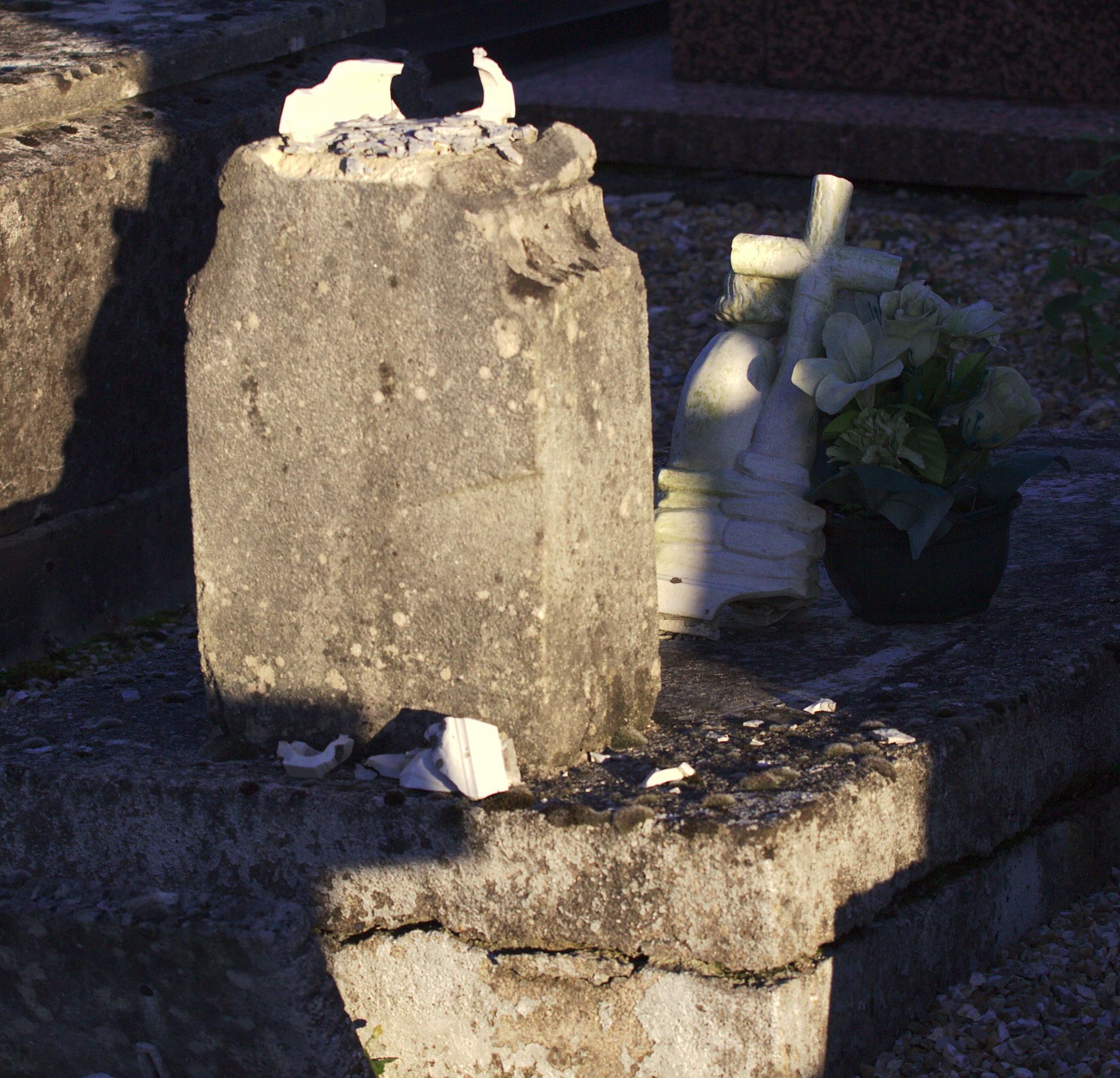
Vom Sockel gestoßen
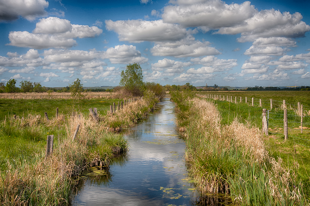
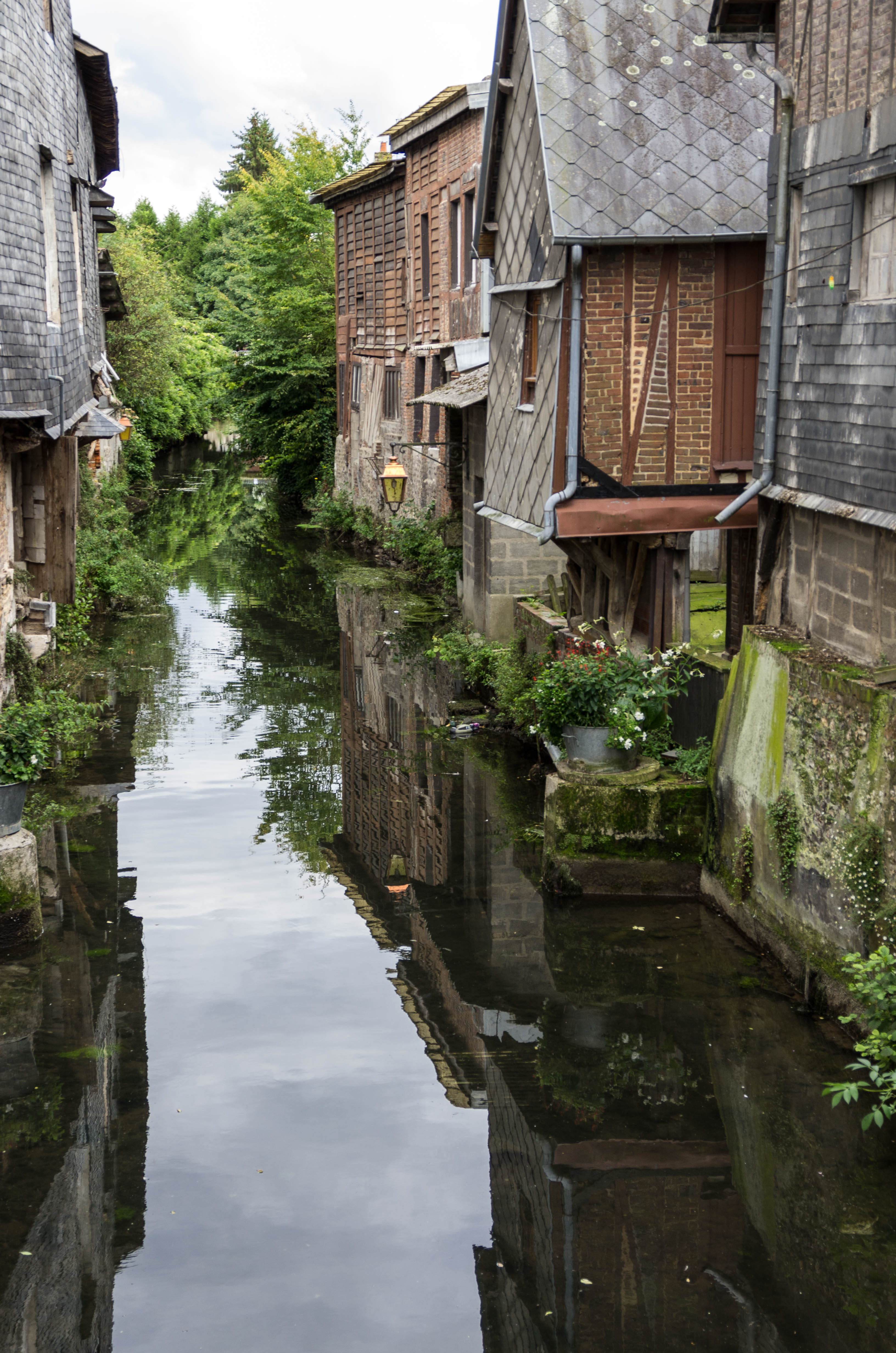
En suivant le canal
DSC03607-001
IMGP1620.jpg

Arbre dans les nuages
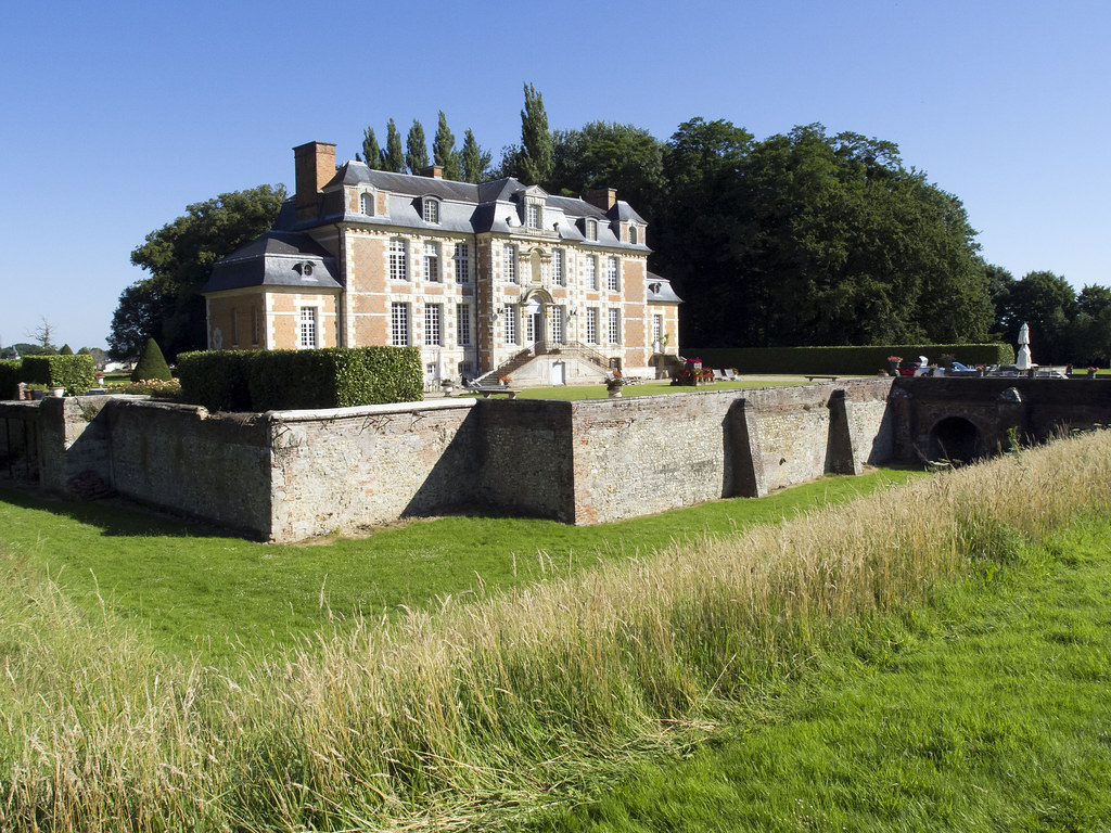
F_Chateau_de_Saint-Maclou_04
Topographic Map of Les Préaux, France
Find elevation by address:

Places in Les Préaux, France:
Places near Les Préaux, France:
La Côte du Mont Morel, Les Préaux, France
Rue du Presbytère, Saint-Siméon, France
Saint-siméon
Saint-mards-de-blacarville
3 Le Village de Blacarville, Saint-Mards-de-Blacarville, France
Boulleville
Cormeilles
2 Rue de la Poissonnerie, Cormeilles, France
Saint-georges-du-vièvre
54 Place de la Mairie, Saint-Georges-du-Vièvre, France
Saint-philbert-sur-risle
10 La Baronnerie, Saint-Philbert-sur-Risle, France
35 Rue Saint-Vincent, Glos-sur-Risle, France
Glos-sur-risle
Saint-antoine-la-forêt
73 Allée des Champs, Saint-Antoine-la-Forêt, France
La Haye-aubrée
27 Rue du Boquet du Rey, La Haye-Aubrée, France
Le Theil-en-auge
Le Bourg, Le Theil-en-Auge, France
Recent Searches:
- Elevation of Woodland Oak Pl, Thousand Oaks, CA, USA
- Elevation of Brownsdale Rd, Renfrew, PA, USA
- Elevation of Corcoran Ln, Suffolk, VA, USA
- Elevation of Mamala II, Sariaya, Quezon, Philippines
- Elevation of Sarangdanda, Nepal
- Elevation of 7 Waterfall Way, Tomball, TX, USA
- Elevation of SW 57th Ave, Portland, OR, USA
- Elevation of Crocker Dr, Vacaville, CA, USA
- Elevation of Pu Ngaol Community Meeting Hall, HWHM+3X7, Krong Saen Monourom, Cambodia
- Elevation of Royal Ontario Museum, Queens Park, Toronto, ON M5S 2C6, Canada