Elevation of Lernahovit, Armenia
Location: Armenia >
Longitude: 44.370404
Latitude: 41.1615517
Elevation: 1655m / 5430feet
Barometric Pressure: 83KPa
Elevation Map:
Satellite Map:
Related Photos:

Our bikes waiting to get down

Sleeping place
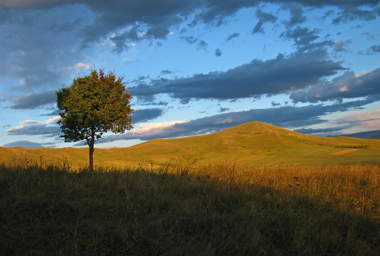
Almost autumn

tashir (4)

tashir (3)
tashir (2)

tashir (5)
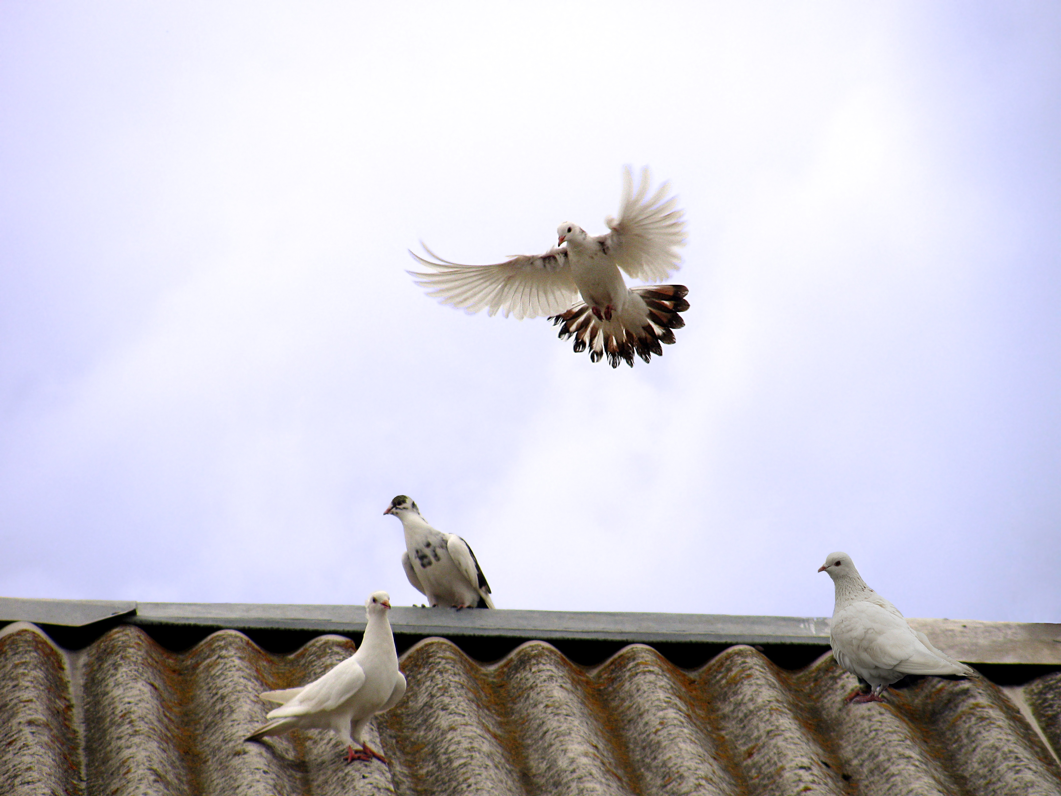
Good bye!!!

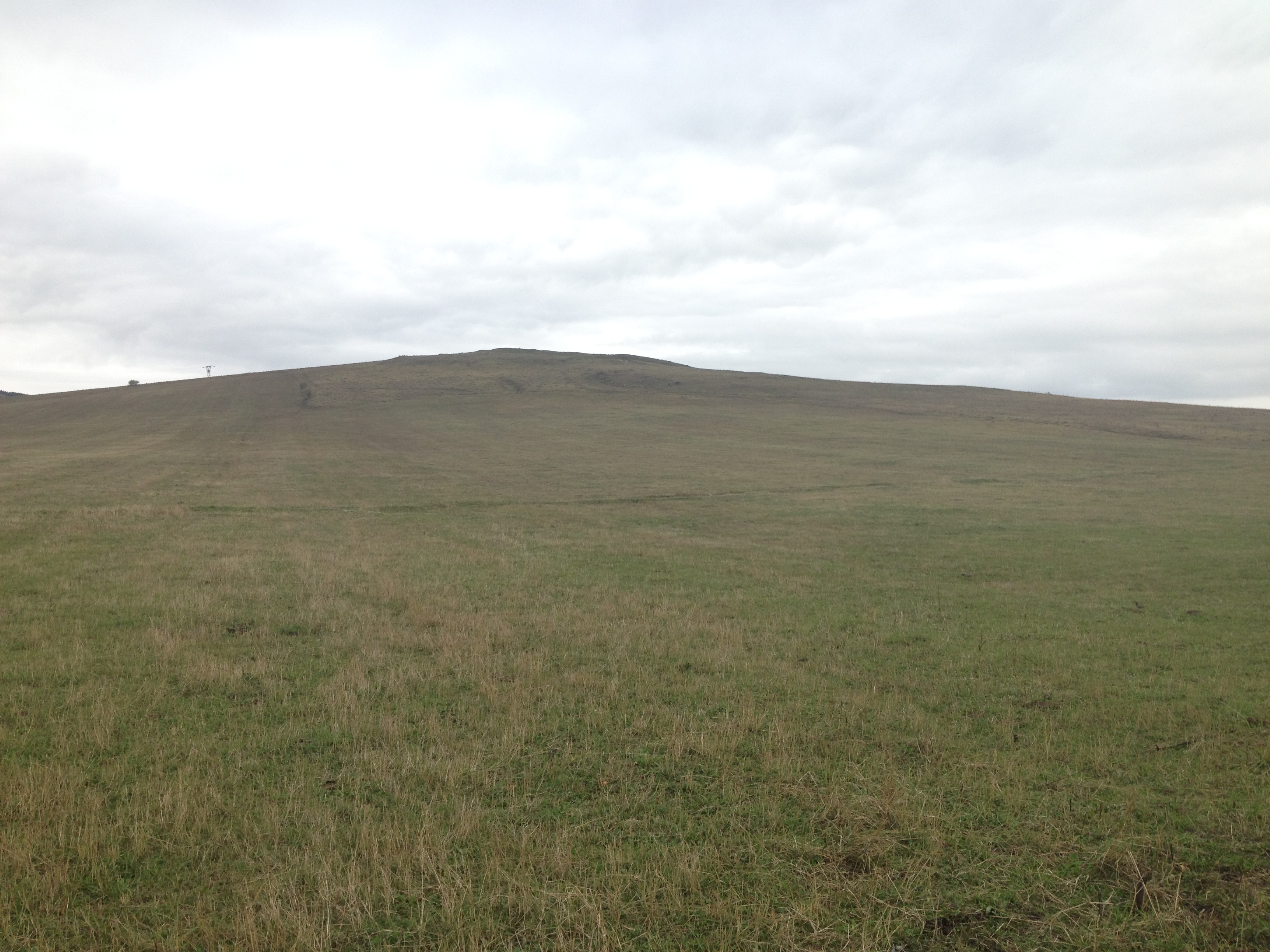
First town in Armenia
Topographic Map of Lernahovit, Armenia
Find elevation by address:

Places near Lernahovit, Armenia:
Sarchapet
Apaven
Petrovka
Kazreti
Aygehat
Alaverdi
Dzoraget
Bolnisi
Dsegh
Vahagni
Trchkan Waterfall
Chkalov
Vanadzor
Neghots
Kvemo Kartli
Bagratashen
Shnogh
Karkop
Ptghavan
Marneuli
Recent Searches:
- Elevation of Gateway Blvd SE, Canton, OH, USA
- Elevation of East W.T. Harris Boulevard, E W.T. Harris Blvd, Charlotte, NC, USA
- Elevation of West Sugar Creek, Charlotte, NC, USA
- Elevation of Wayland, NY, USA
- Elevation of Steadfast Ct, Daphne, AL, USA
- Elevation of Lagasgasan, X+CQH, Tiaong, Quezon, Philippines
- Elevation of Rojo Ct, Atascadero, CA, USA
- Elevation of Flagstaff Drive, Flagstaff Dr, North Carolina, USA
- Elevation of Avery Ln, Lakeland, FL, USA
- Elevation of Woolwine, VA, USA