Elevation of Leonard Rd, Mariposa, CA, USA
Location: United States > California > Mariposa County > Mariposa >
Longitude: -119.81670
Latitude: 37.447359
Elevation: 856m / 2808feet
Barometric Pressure: 91KPa
Elevation Map:
Satellite Map:
Related Photos:
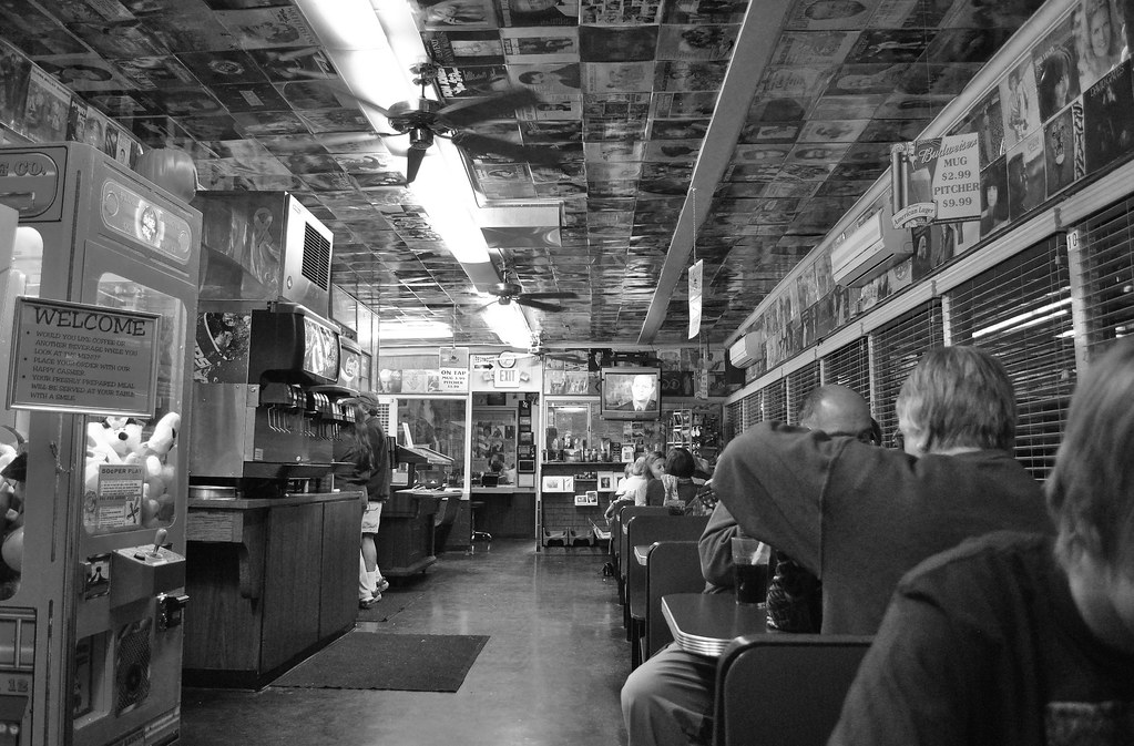
Cruising for Burgers
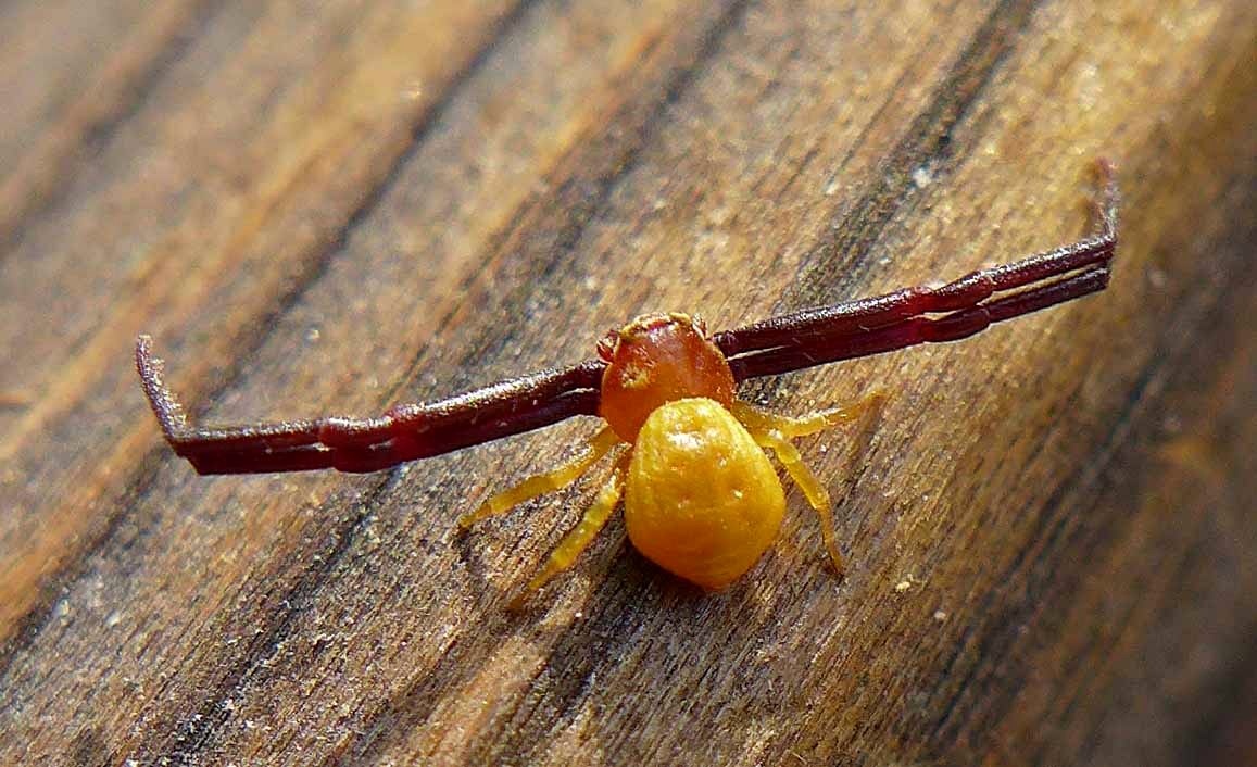
White-banded Crab Spider male

Brochymena sulcata stink bug
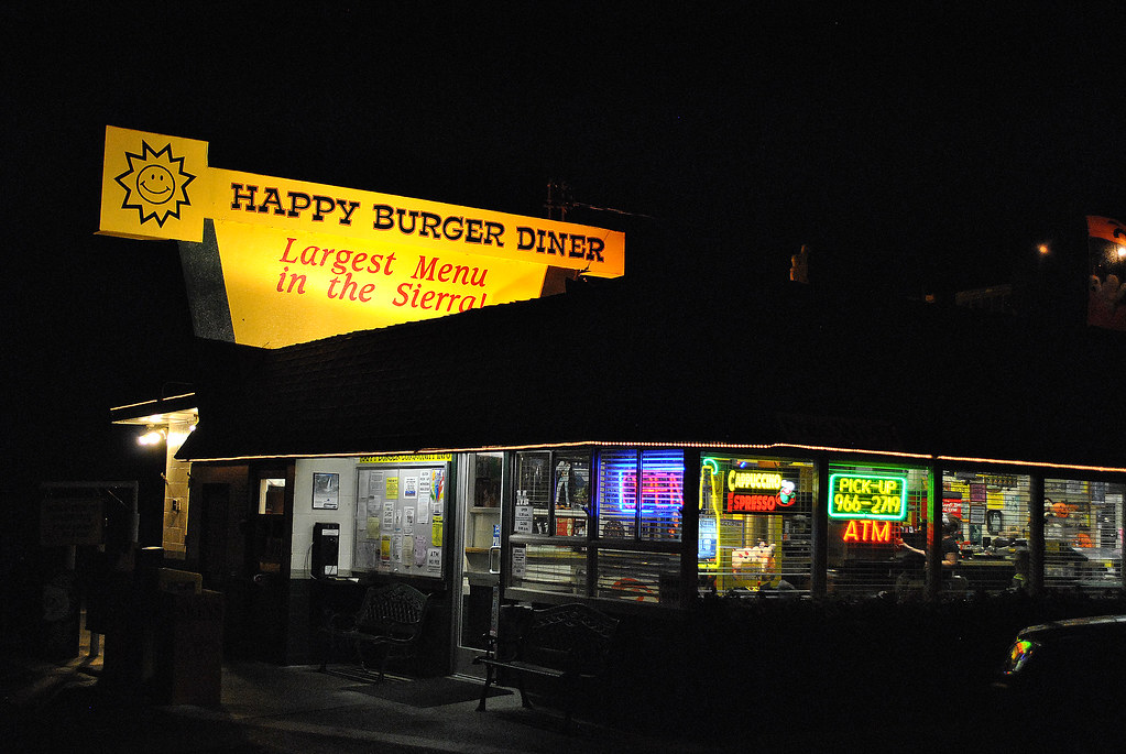
Largest Menu in the Sierra
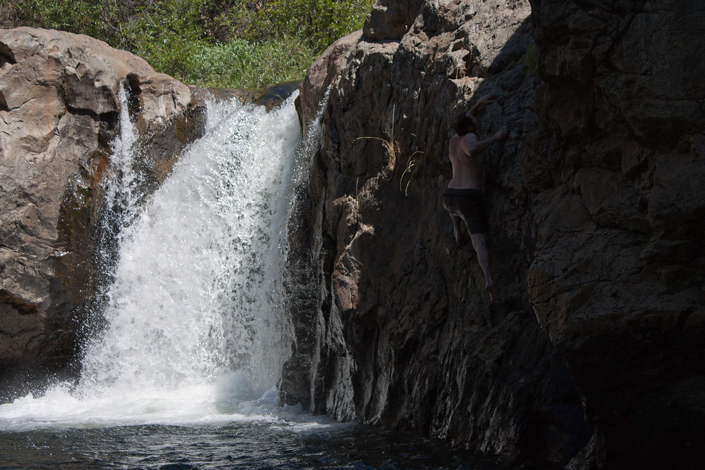
Ominous Sky
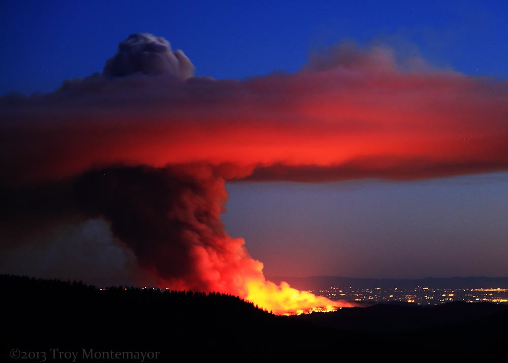
Carstens Fire, Mariposa County, CA
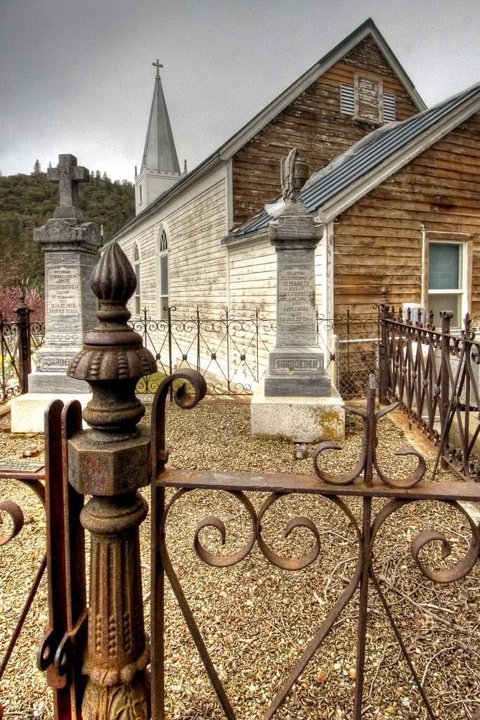
St. Joseph's Church, Mariposa

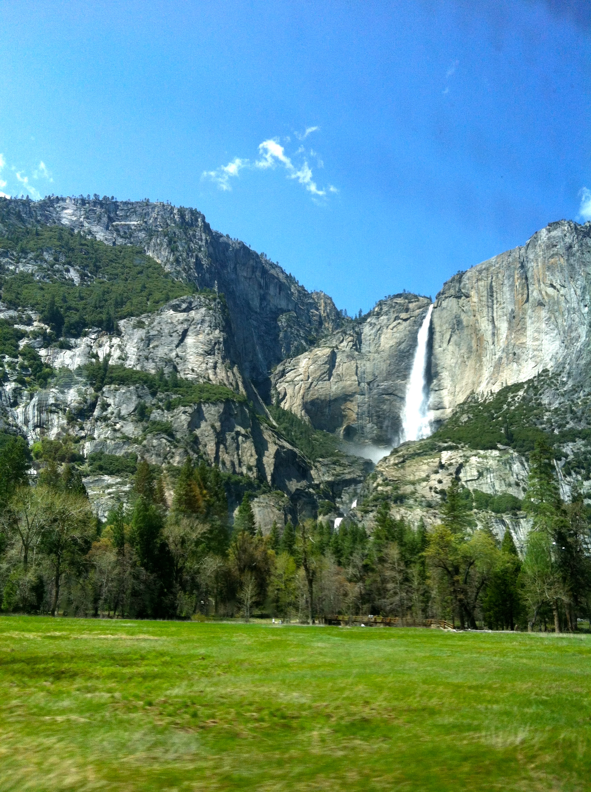
Tunnel View
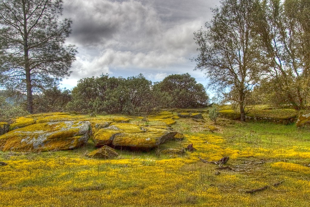
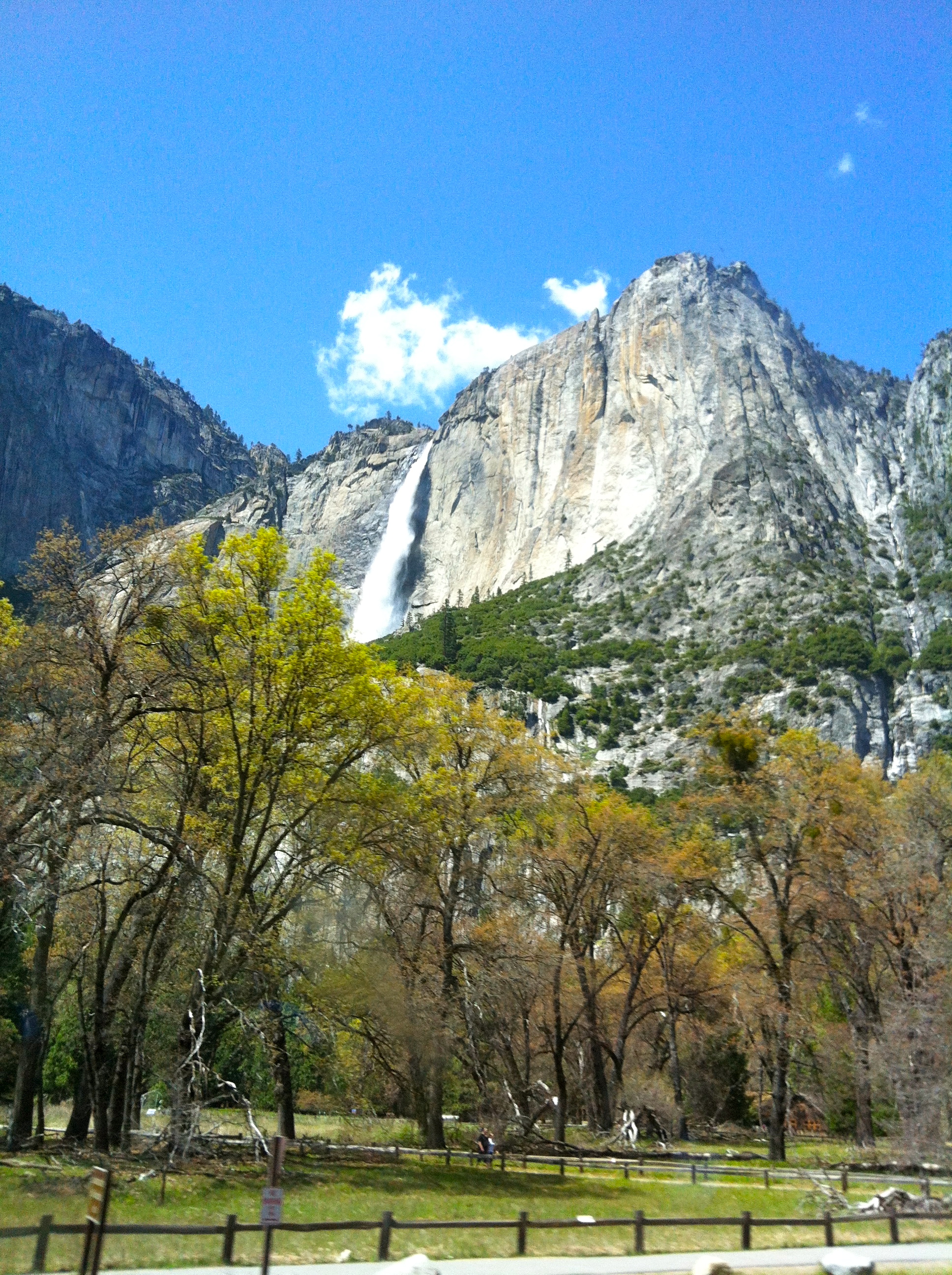
Spring Flowers
View from room at Tenaya Lodge
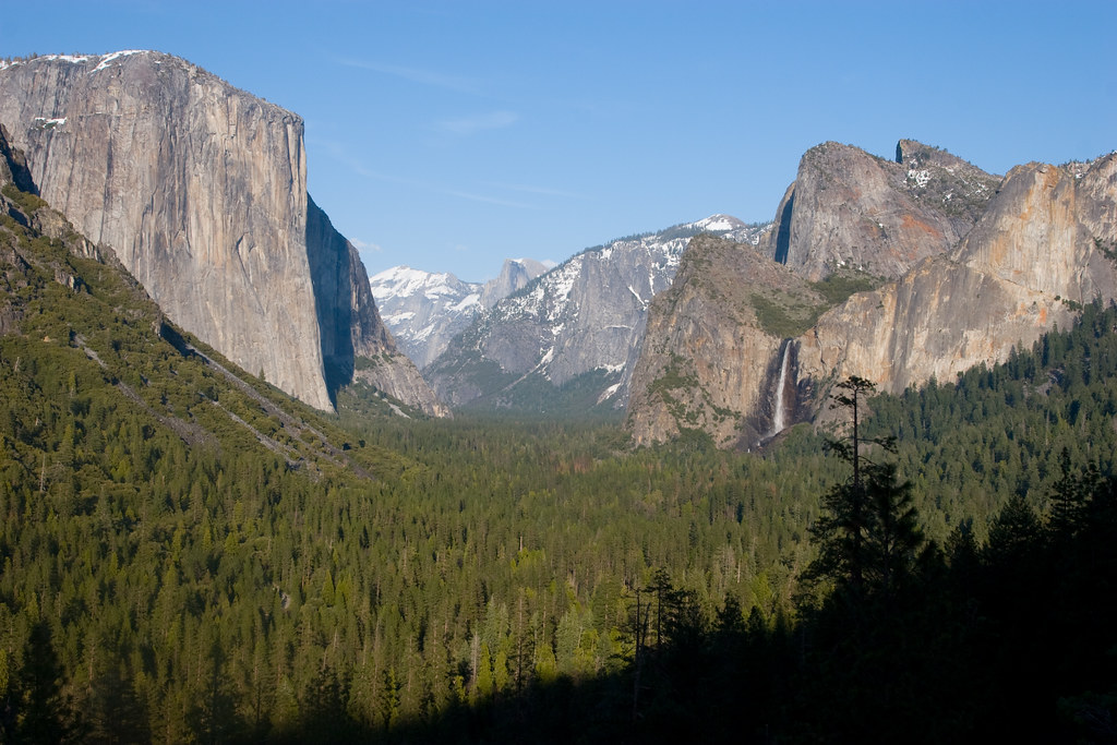
Tunnel View
Self Portrait
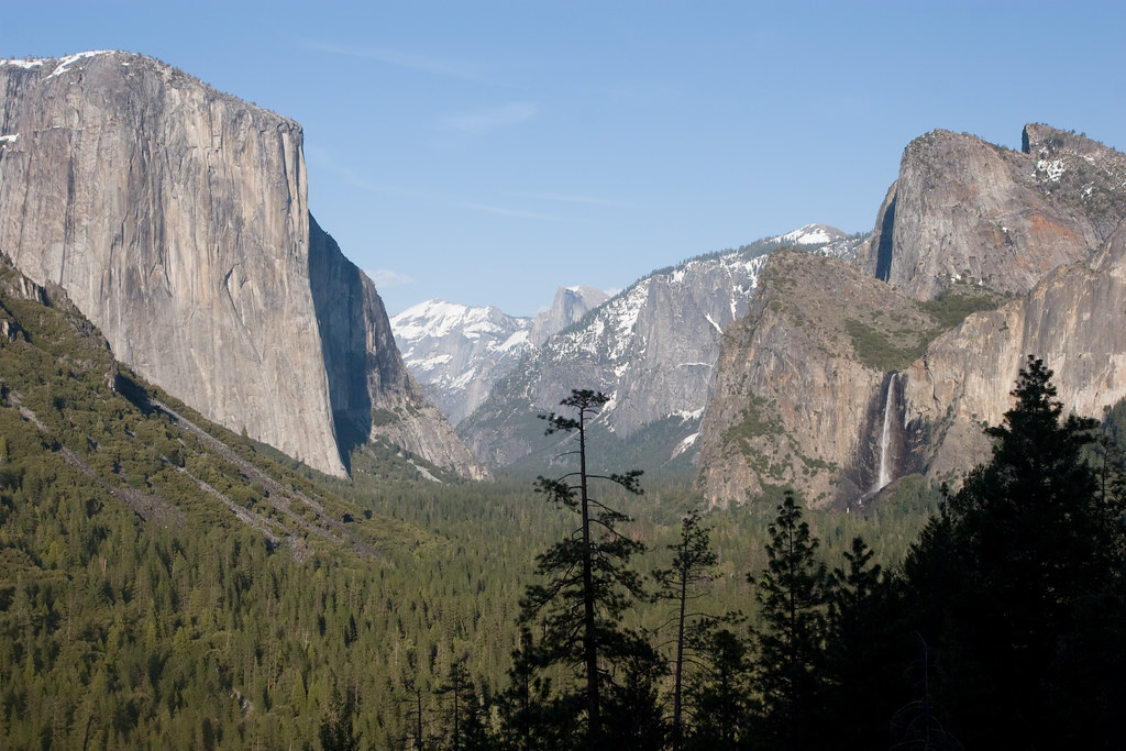
Tunnel View
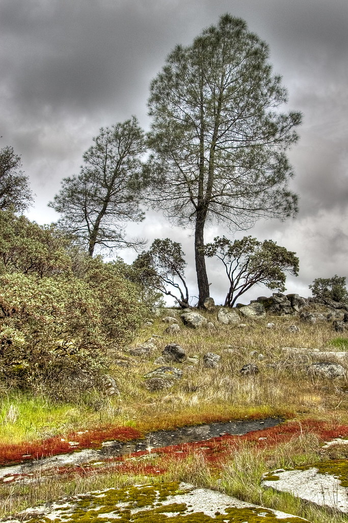
Red Moss
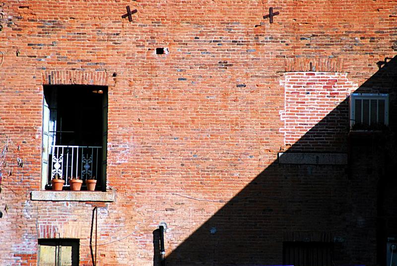
day 16 - brick building

Cemetery, Mariposa
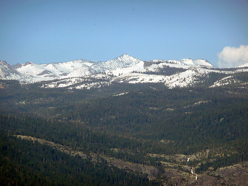
20090510 P1090162 Yosemite Devils Peak - Summit View

Taken from Tunnel View
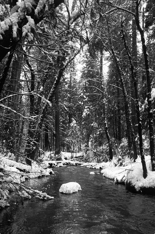
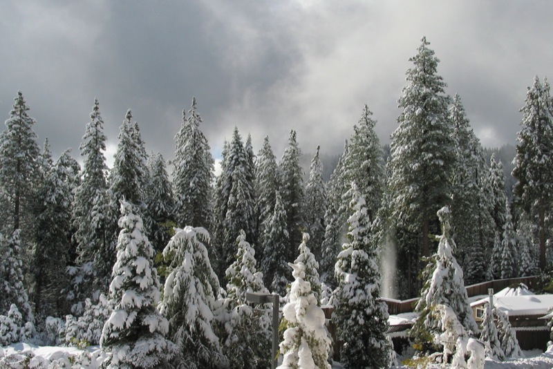
Lewis Creek winter view
200709018.jpg
As sharp as a knife
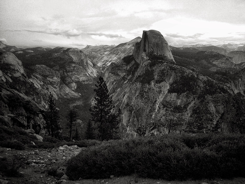
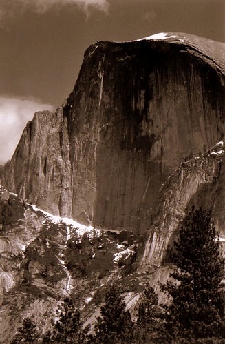
Half Dome, Yosemite National Park, California, USA
I'll paint a better picture of the woods with you in it.
IMG_3905.JPG
_MG_7359.jpg
Curves Hwy.49
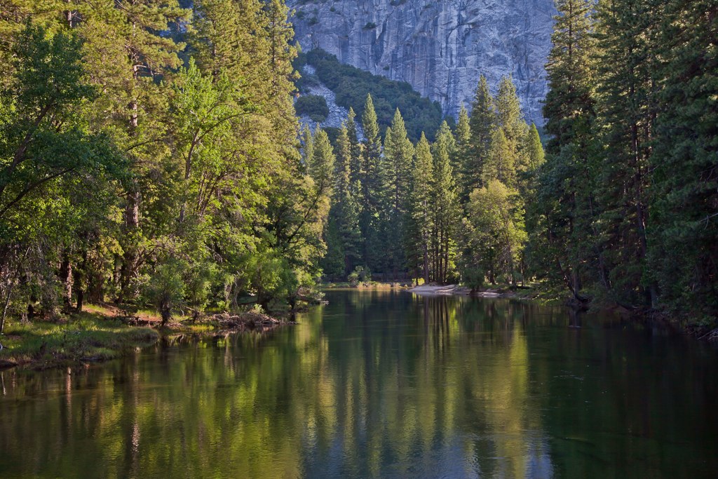
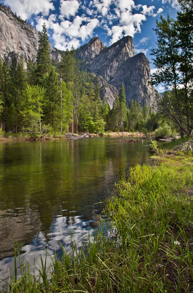
Merced River, Yosemite

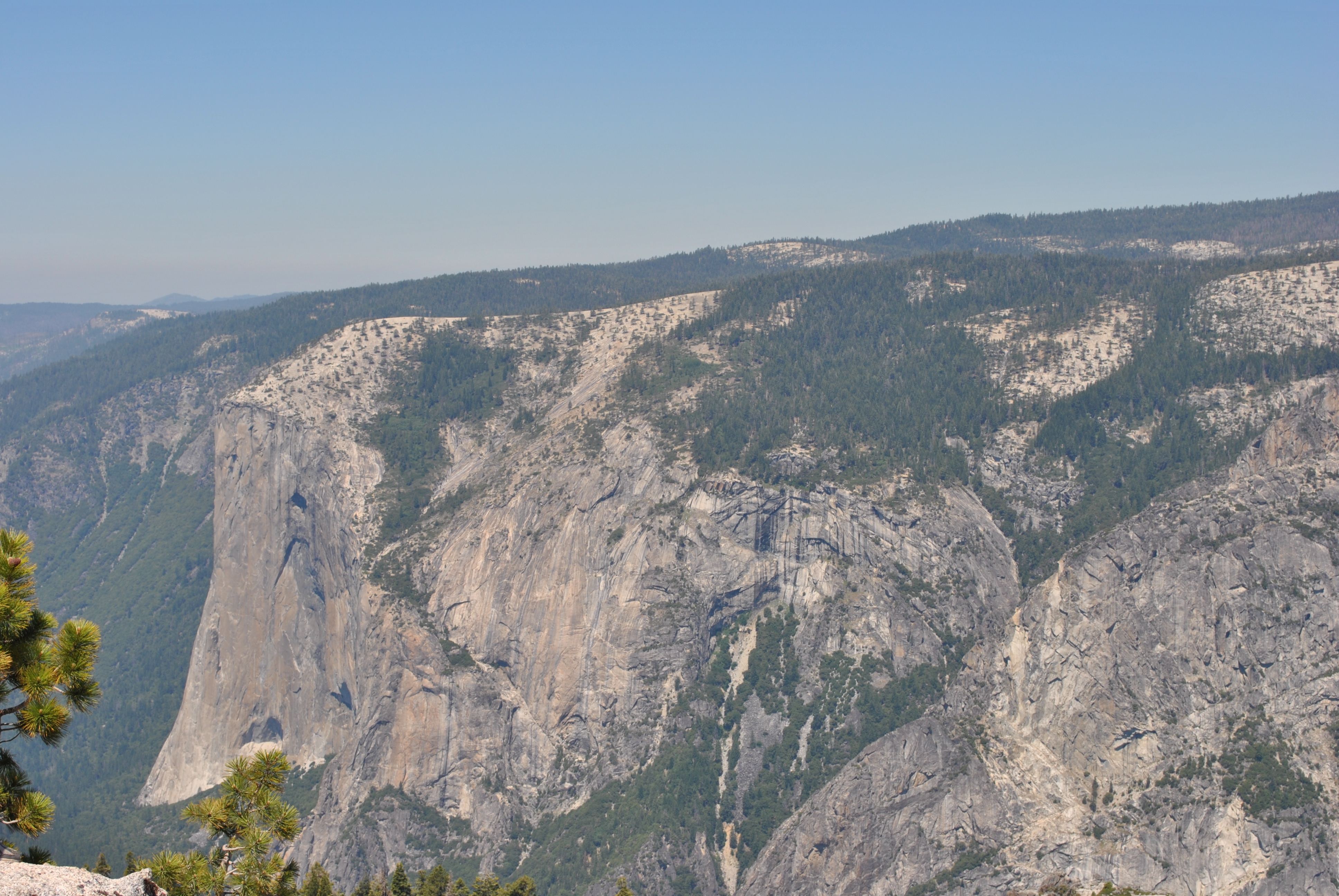
El Capitan Yosemite

Riverside of Yosemite Village. Gorgeous!
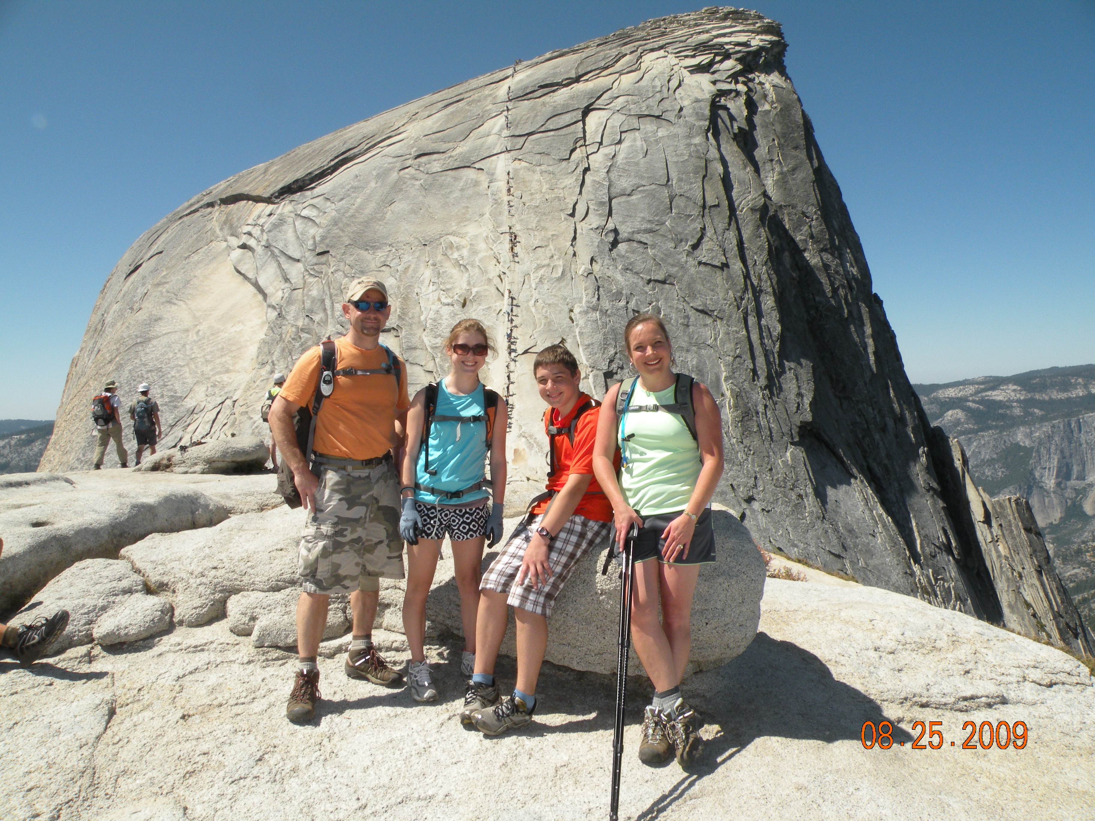
Half Dome in Yosemite National Park
IMG_3889.JPG
Yosemite National Park
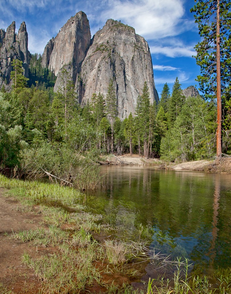
Merced River

_4150027.NEF
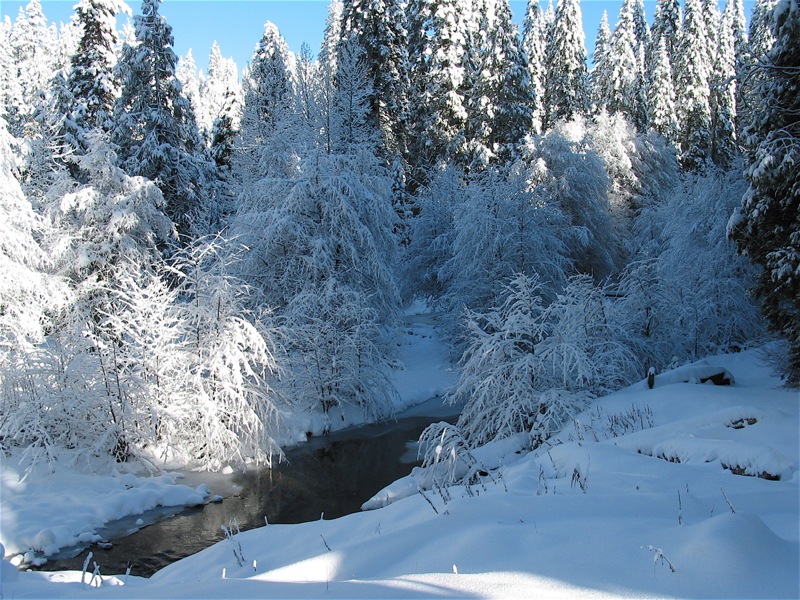
River near Tenaya Lodge, after fresh snowfall

2011-06-30_09-14-48
Three Brothers
Topographic Map of Leonard Rd, Mariposa, CA, USA
Find elevation by address:

Places near Leonard Rd, Mariposa, CA, USA:
Usona Road & California 49
4918 Usona Rd
5640 Tiptop Rd
4878 Leonard Rd
5073 Tiptop Rd
5128 Hillside Dr
5197 Hillside Dr
5246 Tiptop Rd
Tiptop Road
5239 Tiptop Rd
Paso Pass Road
2764 Cricket Hill Rd
4717 Ridge Top Rd
4715 Ridge Top Rd
5458 Tip Top Rd
Tip Top Road
5497 Gunther Rd
Brooks Road
4836 Whitmore Dr
4986 Sierra Pines Dr
Recent Searches:
- Elevation of Pykes Down, Ivybridge PL21 0BY, UK
- Elevation of Jalan Senandin, Lutong, Miri, Sarawak, Malaysia
- Elevation of Bilohirs'k
- Elevation of 30 Oak Lawn Dr, Barkhamsted, CT, USA
- Elevation of Luther Road, Luther Rd, Auburn, CA, USA
- Elevation of Unnamed Road, Respublika Severnaya Osetiya — Alaniya, Russia
- Elevation of Verkhny Fiagdon, North Ossetia–Alania Republic, Russia
- Elevation of F. Viola Hiway, San Rafael, Bulacan, Philippines
- Elevation of Herbage Dr, Gulfport, MS, USA
- Elevation of Lilac Cir, Haldimand, ON N3W 2G9, Canada