Elevation of Leon, OK, USA
Location: United States > Oklahoma > Love County >
Longitude: -97.429187
Latitude: 33.8792685
Elevation: 248m / 814feet
Barometric Pressure: 98KPa
Elevation Map:
Satellite Map:
Related Photos:

A Lonely View of Heaven
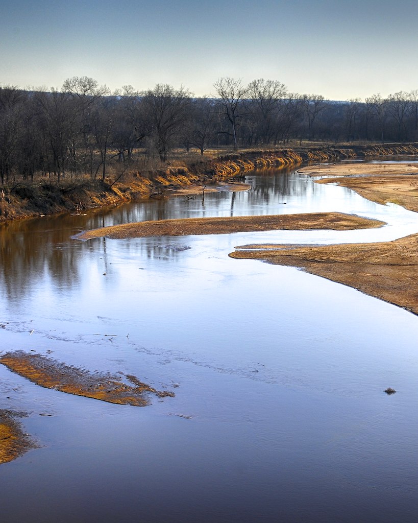
Red River @ Illinois Bend

Turtle Hill

Red River
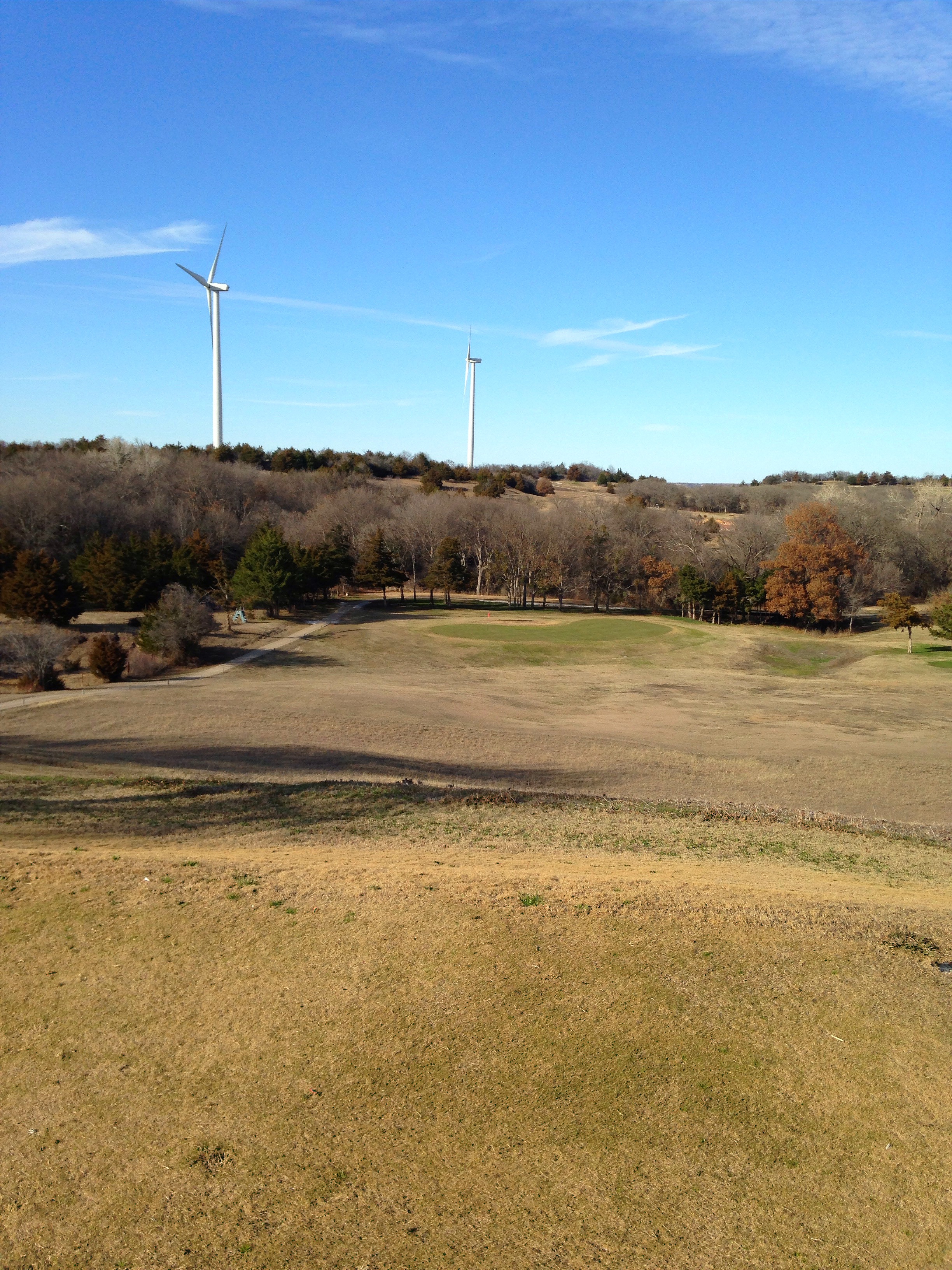
Turtle Hill
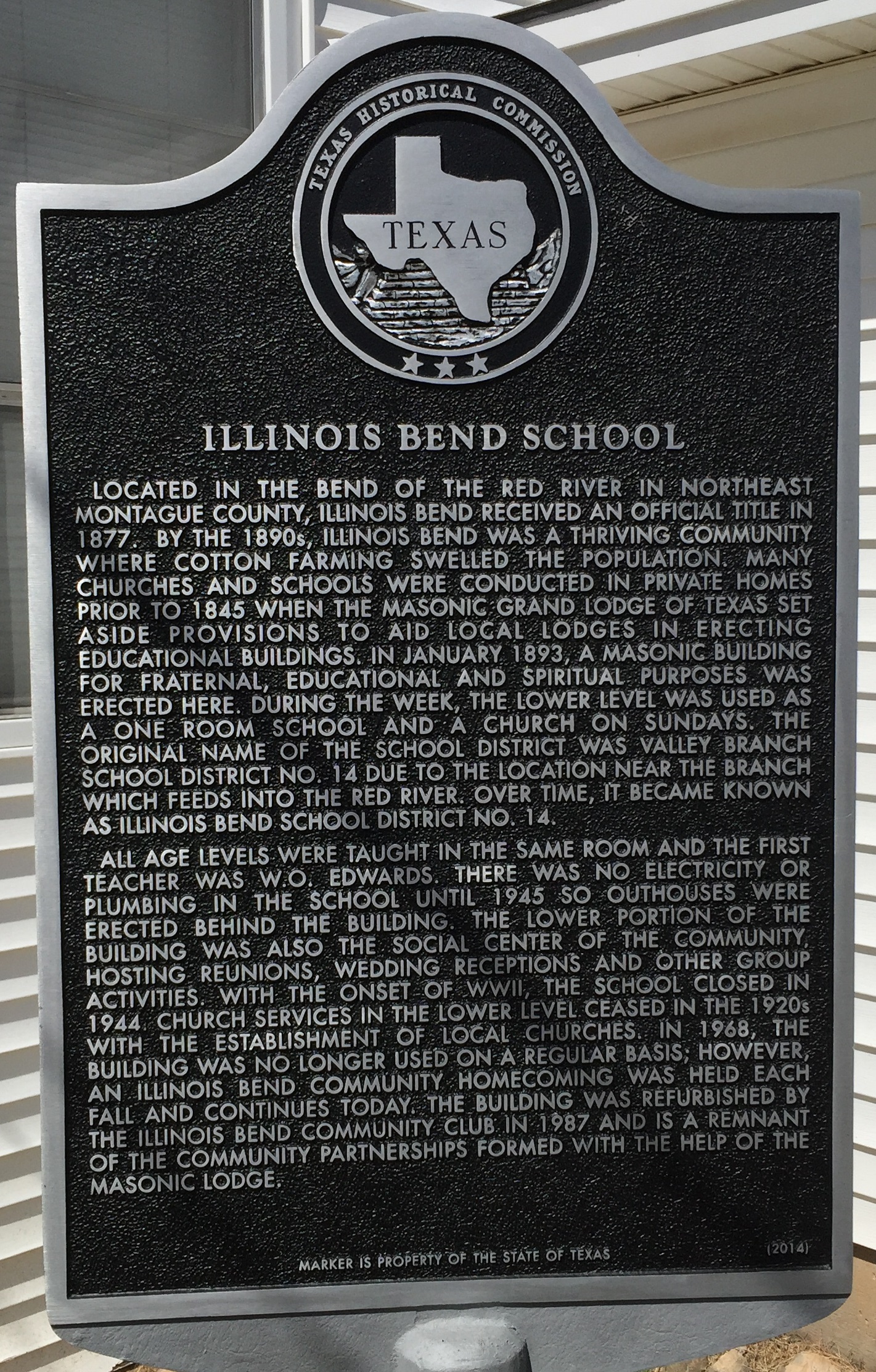
Illinois Bend School
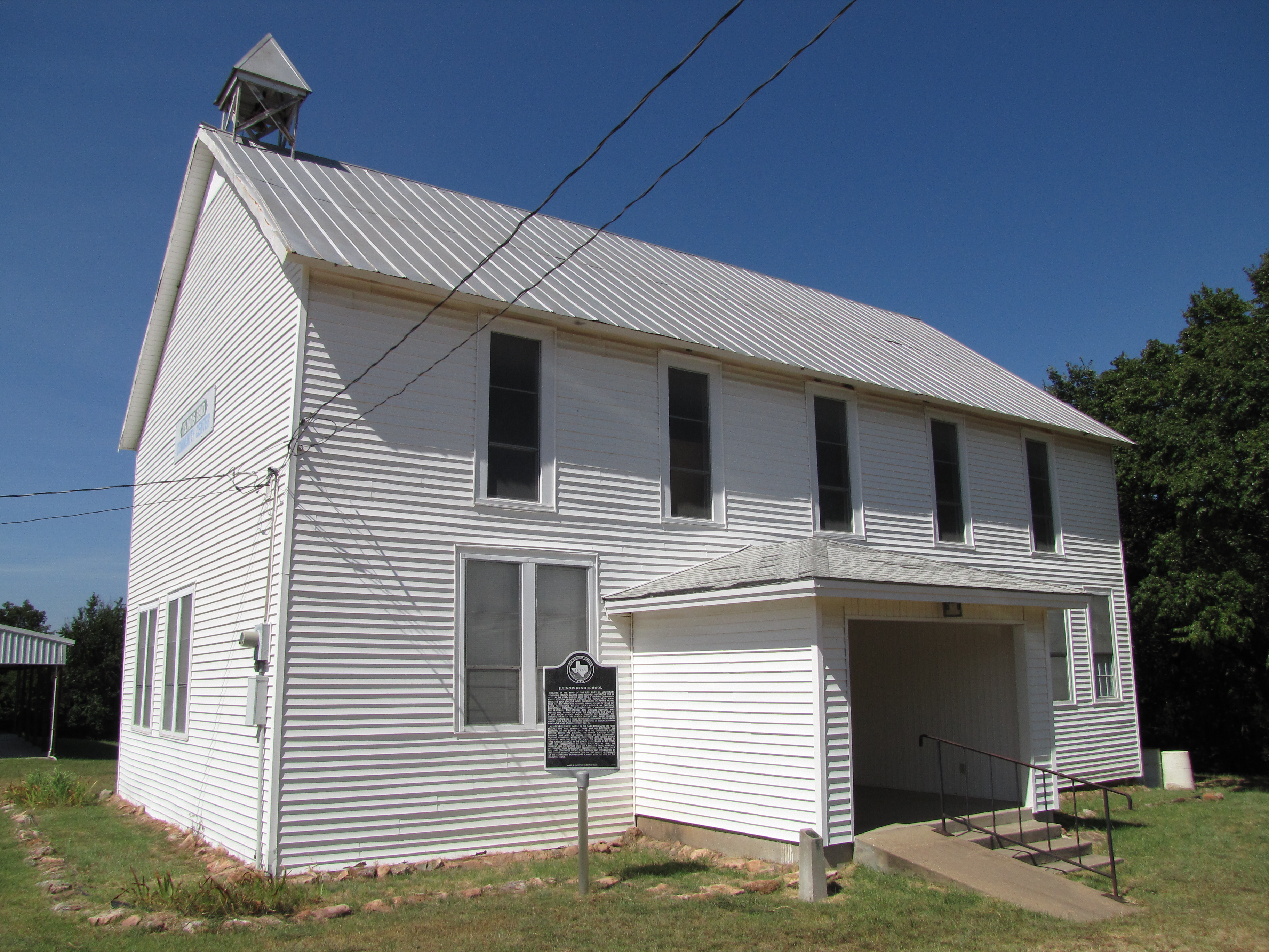
Illinois Bend School
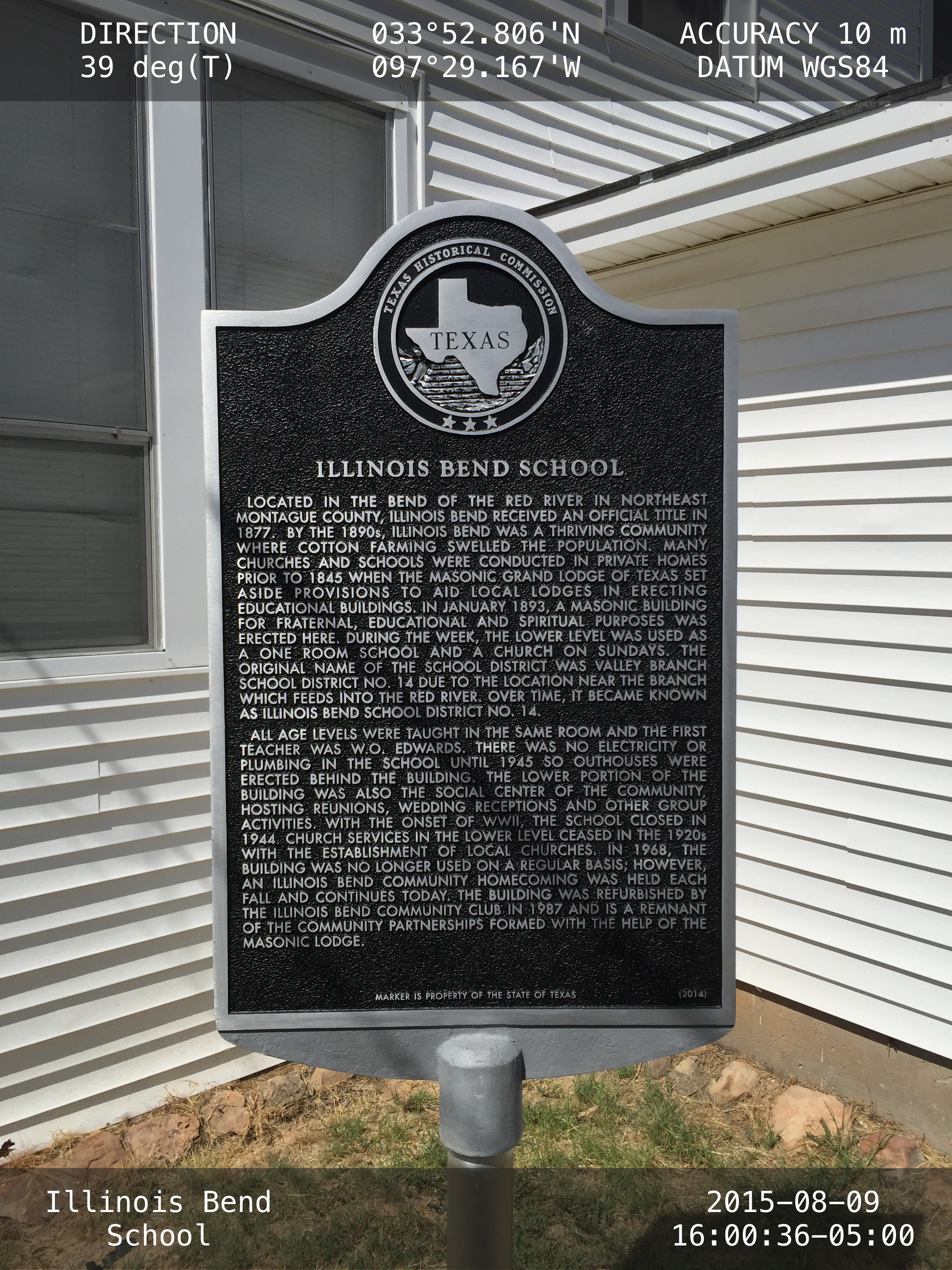
Illinois Bend School

Besökare Samtidigt
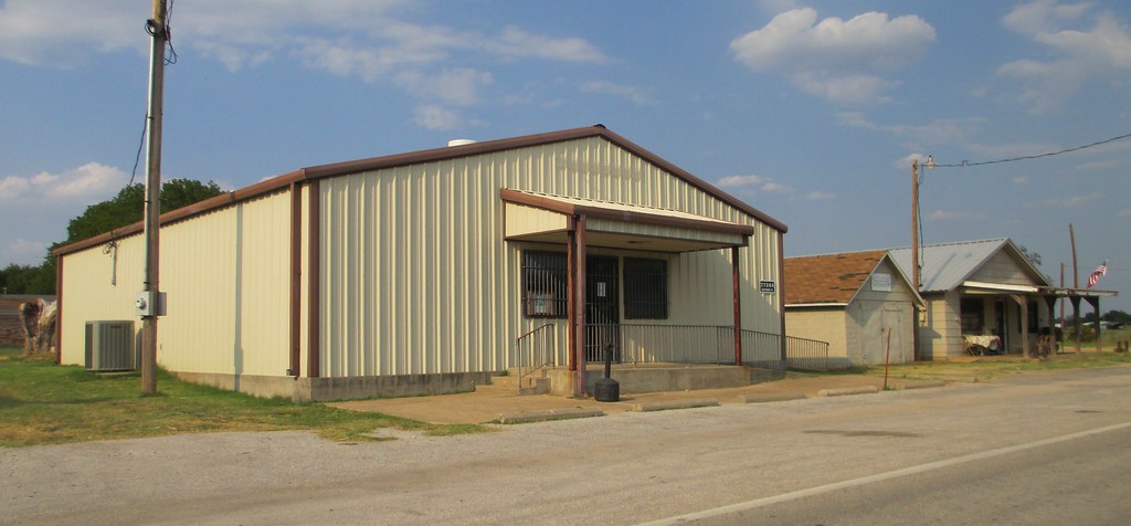
Storefront Block (Leon, Oklahoma)
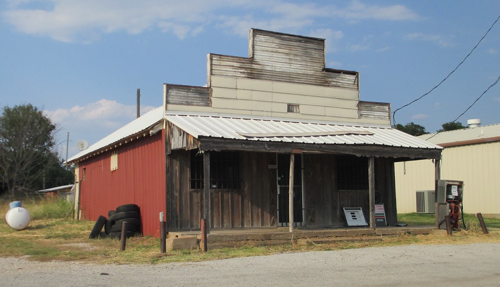
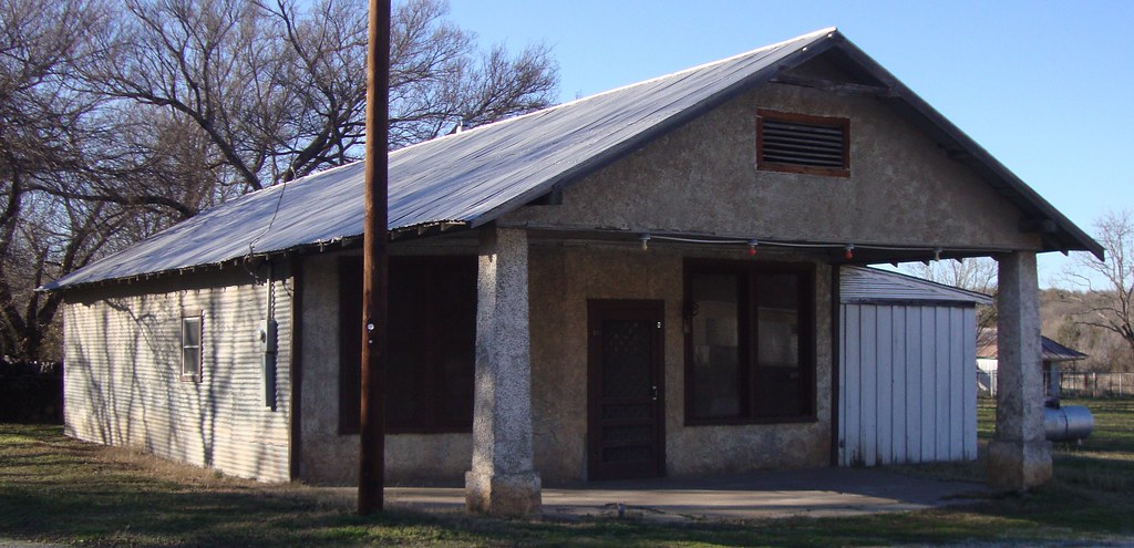
Old Gas Station (Leon, Oklahoma)
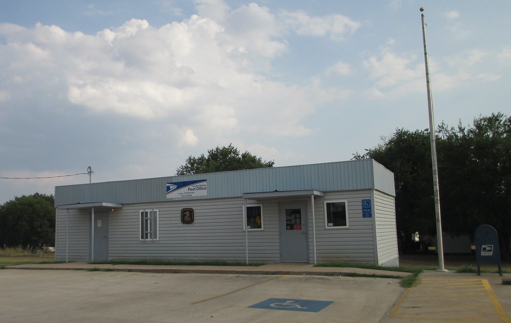
Post Office 73441 (Leon, Oklahoma)
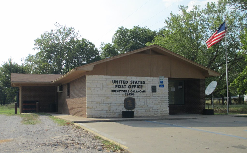
Post Office 73430 (Burneyville, Oklahoma)
DSC_0083.jpg

Turtle Hill
Turtle Hill

Red Bull Barn

Cemetery fence

Blue Ostrich Winery

The Everyday~ODC~3

Old Illinois Bend School (Illinois Bend, Texas)
Old Gas Station (Illinois Bend, Texas)
Topographic Map of Leon, OK, USA
Find elevation by address:

Places in Leon, OK, USA:
Places near Leon, OK, USA:
Main St, Leon, OK, USA
27452 Cedar Ridge St
11499 Keltner Rd
10690 Keltner Rd
Keltner Road
1641 Farm To Market Rd 2953
340 S Diamondhead Dr
OK-32, Burneyville, OK, USA
115 Falconhead Dr
Arché Winery & Vineyard
55 Falconhead Dr
46 Yukon Dr
Falconhead Airport-37k
Burneyville
2nd St, Nocona, TX, USA
146 Santa Elena Dr
Love County
Wilson
Wildflower Rd, Wilson, OK, USA
Brock Rd, Ardmore, OK, USA
Recent Searches:
- Elevation of W Granada St, Tampa, FL, USA
- Elevation of Pykes Down, Ivybridge PL21 0BY, UK
- Elevation of Jalan Senandin, Lutong, Miri, Sarawak, Malaysia
- Elevation of Bilohirs'k
- Elevation of 30 Oak Lawn Dr, Barkhamsted, CT, USA
- Elevation of Luther Road, Luther Rd, Auburn, CA, USA
- Elevation of Unnamed Road, Respublika Severnaya Osetiya — Alaniya, Russia
- Elevation of Verkhny Fiagdon, North Ossetia–Alania Republic, Russia
- Elevation of F. Viola Hiway, San Rafael, Bulacan, Philippines
- Elevation of Herbage Dr, Gulfport, MS, USA