Elevation of Lemmer, Netherlands
Location: Netherlands > Friesland > De Friese Meren >
Longitude: 5.710553
Latitude: 52.8449464
Elevation: 2m / 7feet
Barometric Pressure: 101KPa
Elevation Map:
Satellite Map:
Related Photos:

Snowy Lake View

Langweerder Wielen

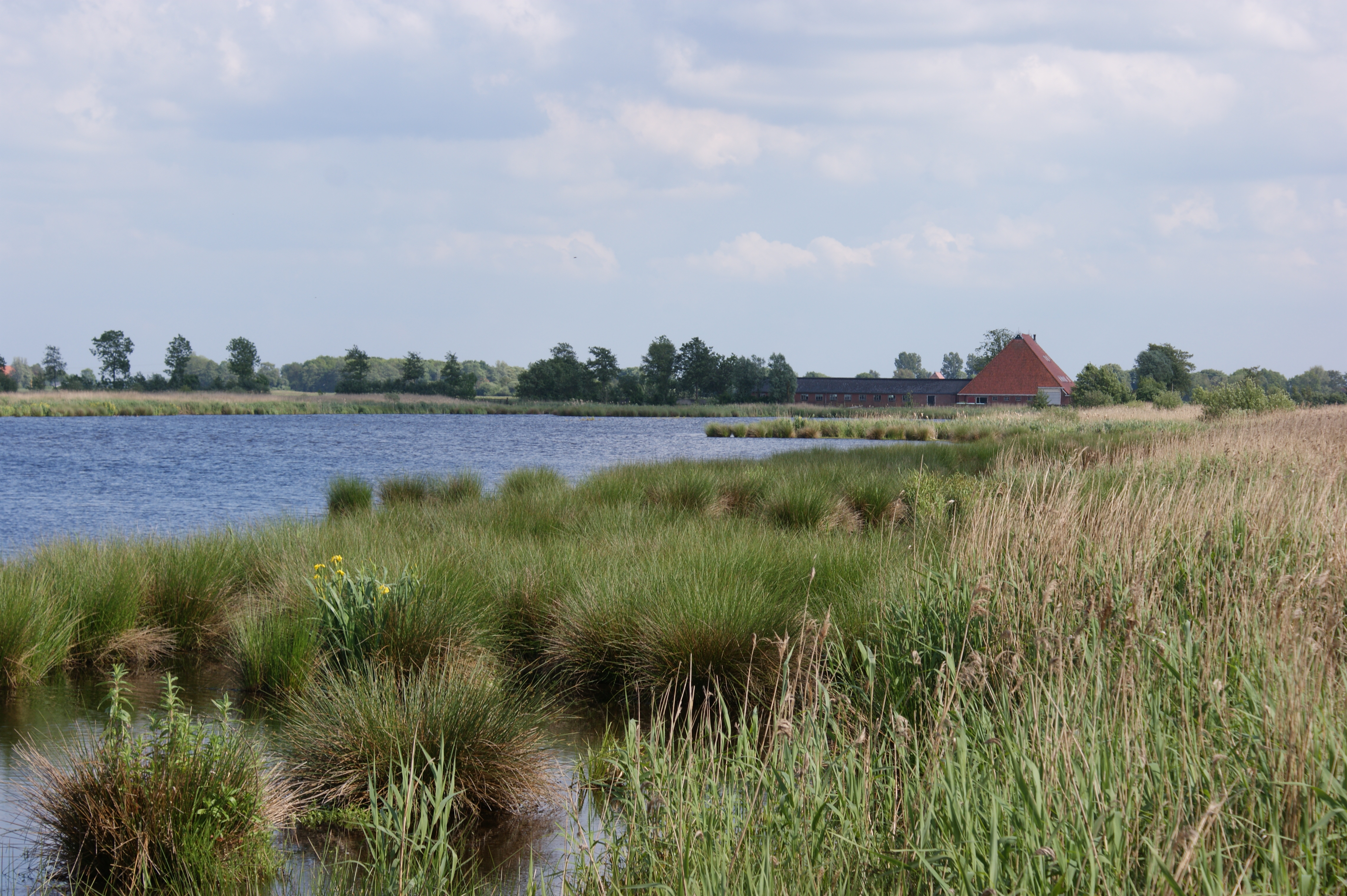
View onto the Langweerder Wielen

View from the mill: the polder
Looking at Oosterschar from birds watching place.
View from appartment

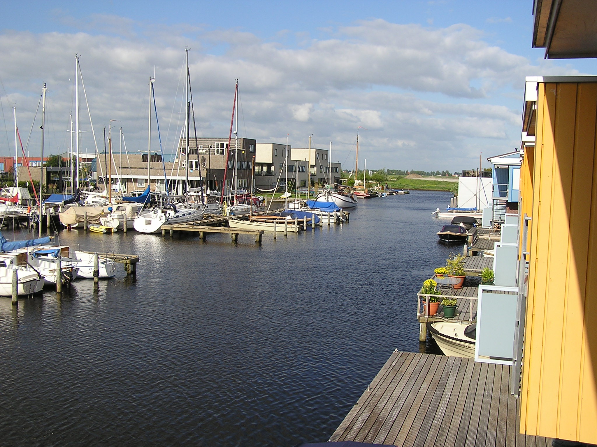
View from the Pontdyk

The 100 Pictures Challenge

View over Friesland
Topographic Map of Lemmer, Netherlands
Find elevation by address:

Places in Lemmer, Netherlands:
Places near Lemmer, Netherlands:
Rutten
Lemsterhoek
Schoterpad
Slotmolen
Sint Nicolaasga
Creilerpad
Creil
Langwarderdyk 1661
De Friese Meren
Emmeloord
Weidelan
Joure
Broek
Noordoostpolder
Nagelerweg
Tollebeek
Karel Doormanweg
Luttelgeest
Marknesse
Ens
Recent Searches:
- Elevation of Corso Fratelli Cairoli, 35, Macerata MC, Italy
- Elevation of Tallevast Rd, Sarasota, FL, USA
- Elevation of 4th St E, Sonoma, CA, USA
- Elevation of Black Hollow Rd, Pennsdale, PA, USA
- Elevation of Oakland Ave, Williamsport, PA, USA
- Elevation of Pedrógão Grande, Portugal
- Elevation of Klee Dr, Martinsburg, WV, USA
- Elevation of Via Roma, Pieranica CR, Italy
- Elevation of Tavkvetili Mountain, Georgia
- Elevation of Hartfords Bluff Cir, Mt Pleasant, SC, USA