Elevation of Leitchfield Rd, Eastview, KY, USA
Location: United States > Kentucky > Hardin County > Eastview >
Longitude: -86.049100
Latitude: 37.5712111
Elevation: 202m / 663feet
Barometric Pressure: 99KPa
Elevation Map:
Satellite Map:
Related Photos:

CSXT K538, Sonora, KY

PAL LCL2, Eastview, KY

Noon, Kentucky

Glendale KY

Foggy Morning in Kentucky
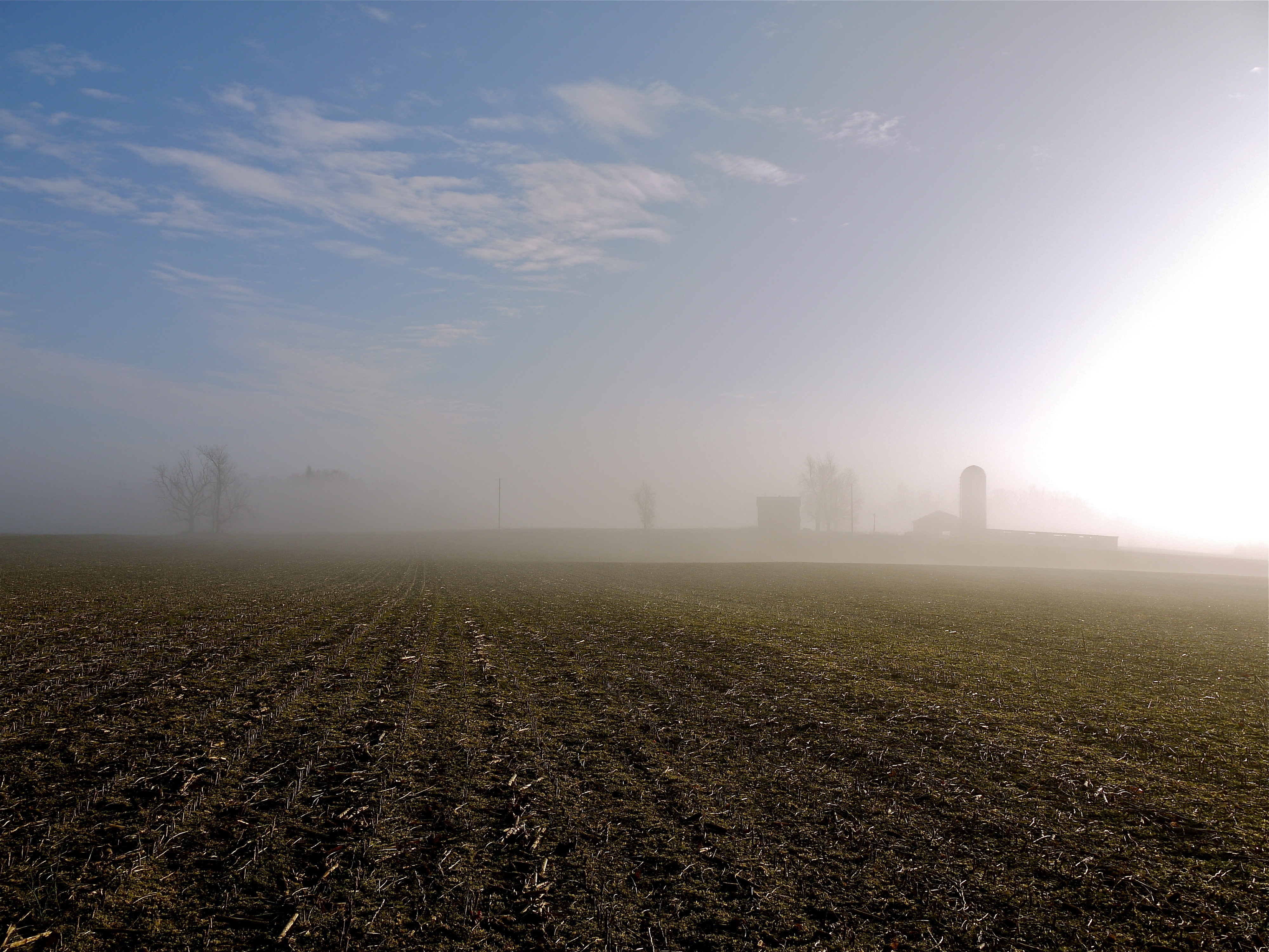
Foggy Morning in Kentucky
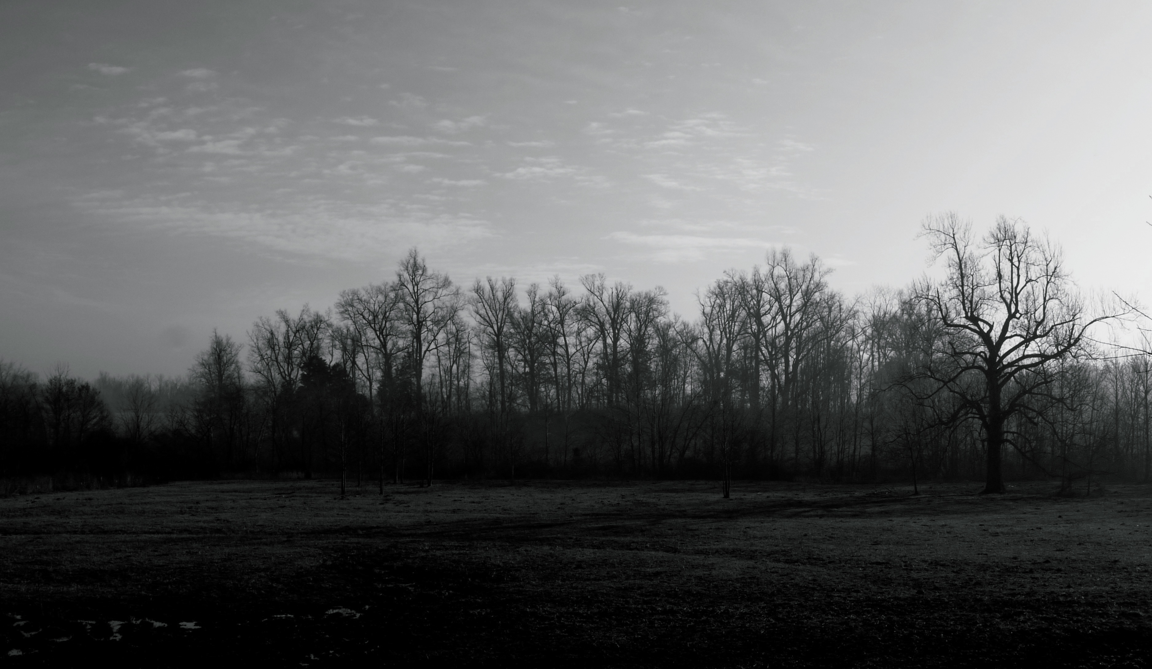
Foggy Morning in Kentucky

CSXT Q534, Glendale, KY

White Mills Bridge

Fixin' the electric fence out back of the main field. Feels good to be in the country.
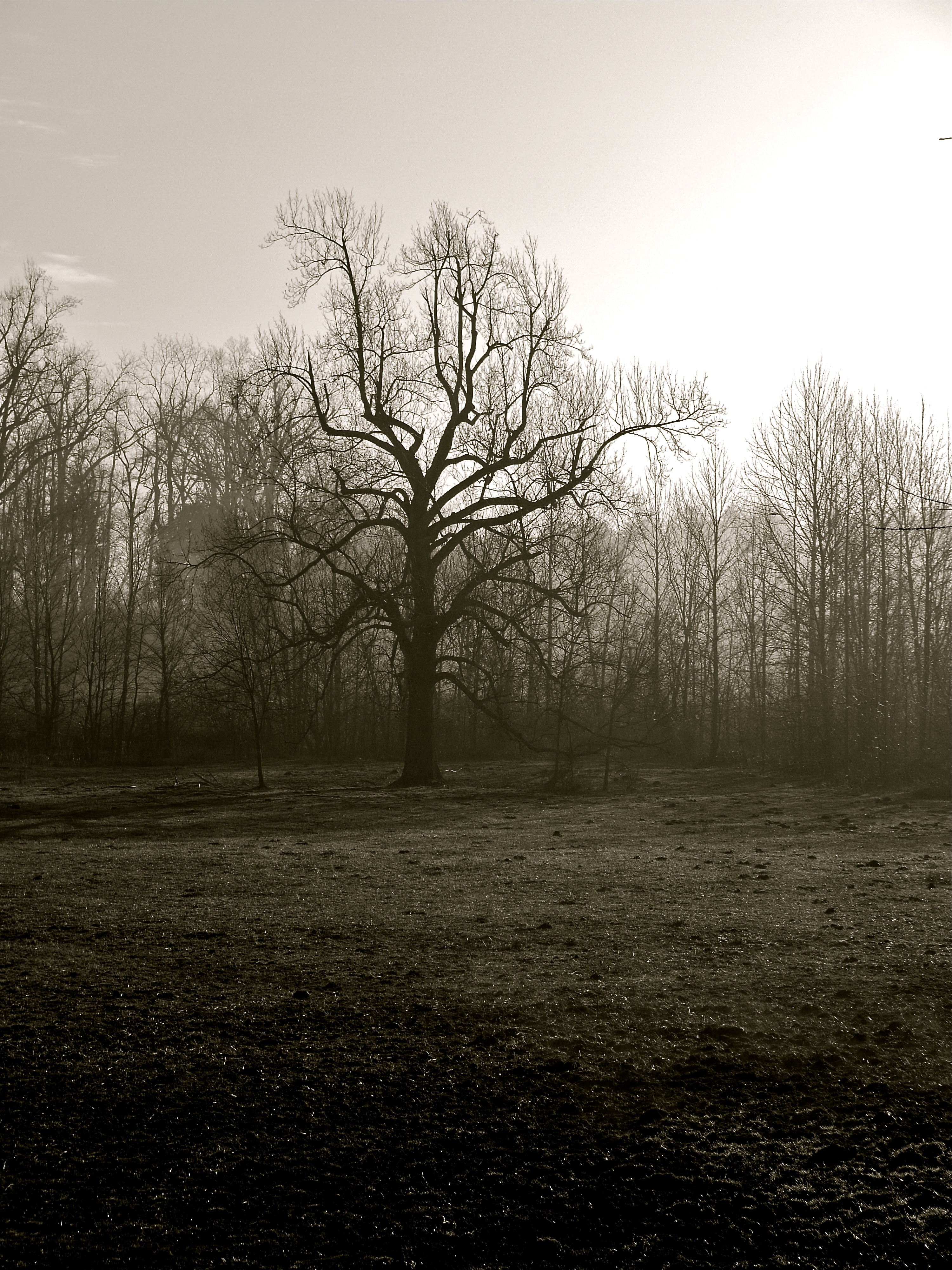
Foggy Morning in Kentucky
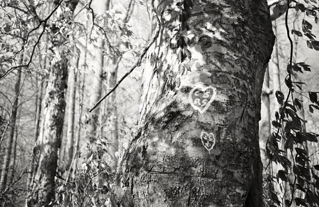
CS RS
Not Fun

PAL LG4, Stephensburg, KY
Topographic Map of Leitchfield Rd, Eastview, KY, USA
Find elevation by address:

Places near Leitchfield Rd, Eastview, KY, USA:
Eastview
Summit
521 Nacke Pike Rd
Star Mills Rd, Glendale, KY, USA
2921 Shaw Creek Rd
3069 Shaw Creek Rd
3075 Shaw Creek Rd
Hardin County
Big Clifty, KY, USA
Flint Hill Road
Big Clifty
46 N Sunset Ave
Raider Hollow Rd, Upton, KY, USA
W Main St, Cecilia, KY, USA
Cecilia
Millerstown Rd, Clarkson, KY, USA
Kane Branch Ln, Eastview, KY, USA
Lone Oak Road
Glendale
174 Watson Ln
Recent Searches:
- Elevation of Corso Fratelli Cairoli, 35, Macerata MC, Italy
- Elevation of Tallevast Rd, Sarasota, FL, USA
- Elevation of 4th St E, Sonoma, CA, USA
- Elevation of Black Hollow Rd, Pennsdale, PA, USA
- Elevation of Oakland Ave, Williamsport, PA, USA
- Elevation of Pedrógão Grande, Portugal
- Elevation of Klee Dr, Martinsburg, WV, USA
- Elevation of Via Roma, Pieranica CR, Italy
- Elevation of Tavkvetili Mountain, Georgia
- Elevation of Hartfords Bluff Cir, Mt Pleasant, SC, USA