Elevation of Leggett Rd, Sale Creek, TN, USA
Location: United States > Tennessee > Hamilton County > Sale Creek >
Longitude: -85.129837
Latitude: 35.424306
Elevation: 520m / 1706feet
Barometric Pressure: 95KPa
Elevation Map:
Satellite Map:
Related Photos:

Mansfield's Coffee Shoppe & Coca-Cola Ghost Sign - Dayton, TN

Rhea County, TN Courthouse - Dayton, TN

Rhea County Courthouse Corner View - Dayton, TN

Rhea County Courthouse Street View- Dayton, TN

Rhea County Courthouse Side View - Dayton, TN

Rhea County Courthouse Street Landscape View - Dayton, TN

Rhea County Courthouse Sidewalk View - Dayton, TN

Hooded, Whooping and Sandhill Cranes

Rhea County TN Courthouse 9

Rhea County TN Courthouse 10

Sunset at Hiwassee

Old Post Office 37321 (Dayton, Tennessee)

Laurel Falls

Hiwassee Observation Platform

Hiwassee Observation Platform

Sandhill Crane Refuge

Sandhill Crane Refuge
Out On A Limb

Sandhill Cranes

Richland Creek
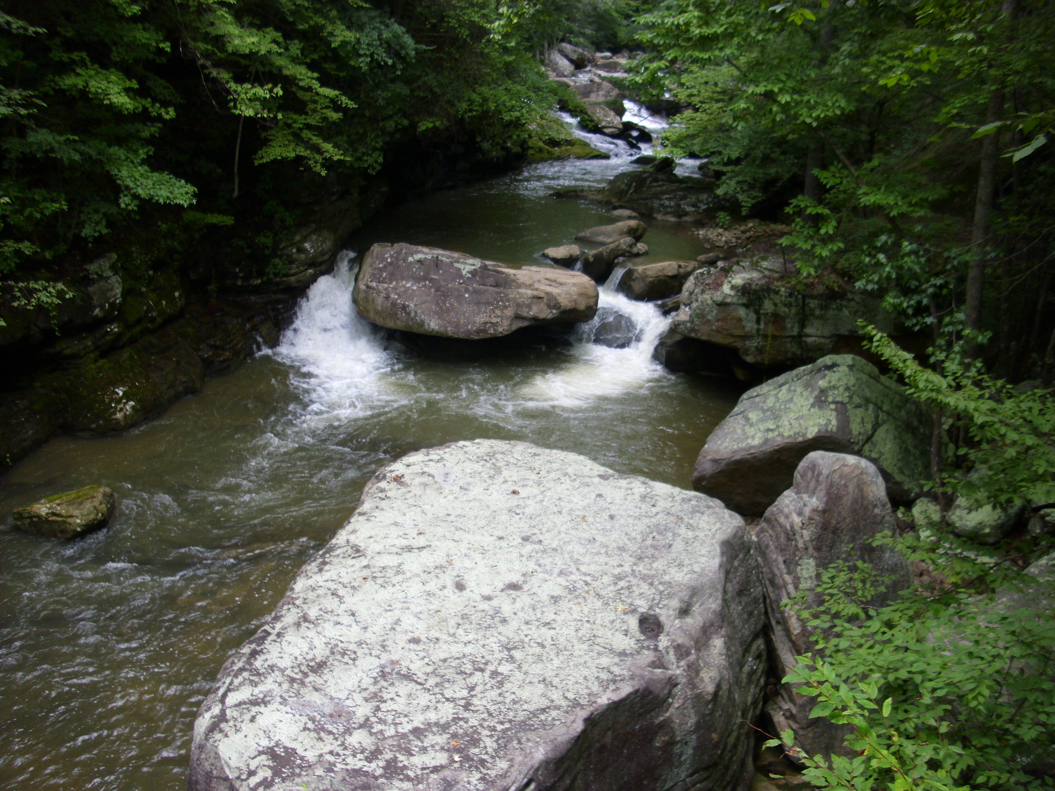
Richland Creek

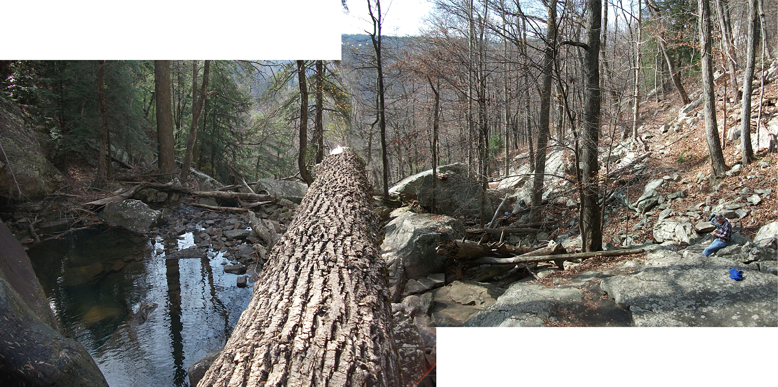
Little Possum Creek Falls [25'] {Imodium Falls}
Imodium Falls (Little Possum Creek Falls) - Possum Creek Gorge Section of the Cumberland Trail

Hiwassee Island - Meigs County, TN

#honnolding

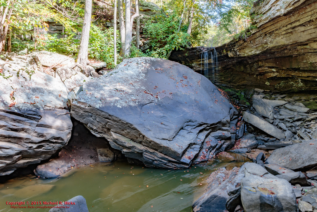
Imodium Falls (Little Possum Creek Falls) - Possum Creek Gorge Section of the Cumberland Trail

Imodium Falls (Little Possum Creek Falls) - Possum Creek Gorge Section of the Cumberland Trail

Imodium Falls (Little Possum Creek Falls) - Possum Creek Gorge Section of the Cumberland Trail

Imodium Falls (Little Possum Creek Falls) - Possum Creek Gorge Section of the Cumberland Trail

Imodium Falls (Little Possum Creek Falls) - Possum Creek Gorge Section of the Cumberland Trail

Rolling Hills

Tree and Box

Crossing Morgan Creek
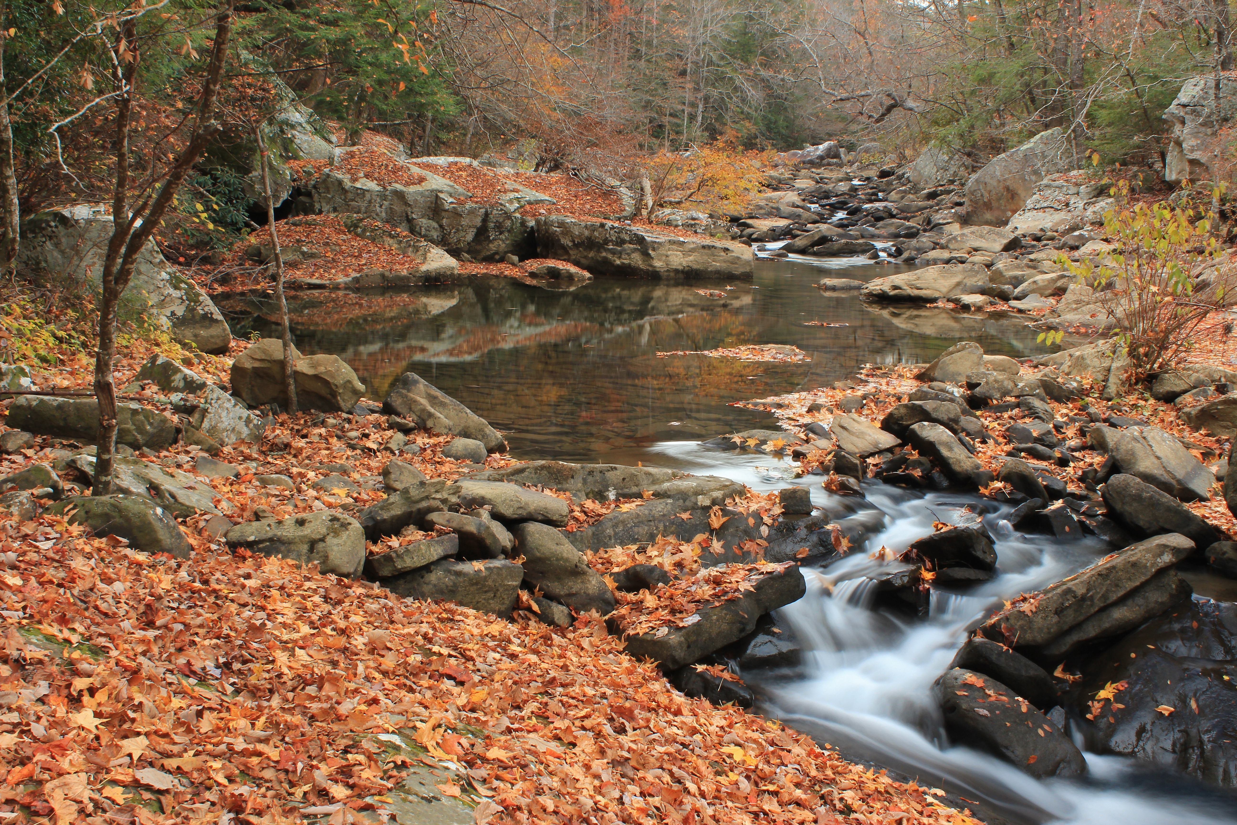
Soddy Creek, Cumberland Trail State Park, Hamilton County, Tennessee 1

Laurel-Snow Pocket Wilderness Backpack - Sept. 2015

#honnolding
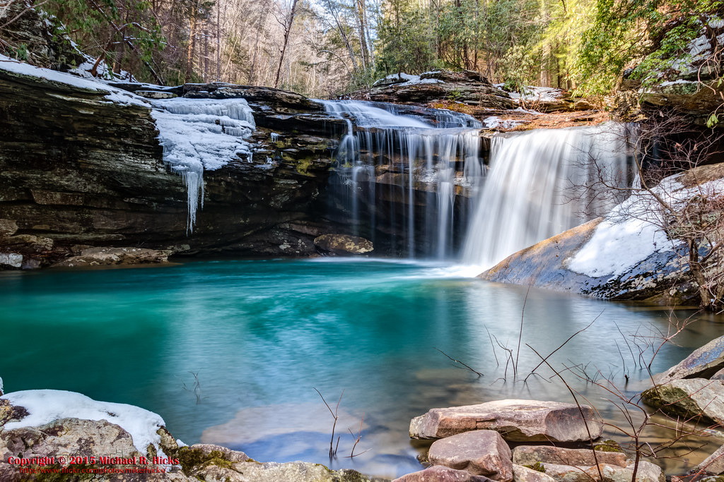
Snow Falls

Snow Falls - Laurel-Snow Pocket Wilderness

Snow Falls - Laurel-Snow Pocket Wilderness

Laurel-Snow Pocket Wilderness Backpack - Sept. 2015

At Imodium Falls - Possum Creek Gorge Section of the Cumberland Trail
Topographic Map of Leggett Rd, Sale Creek, TN, USA
Find elevation by address:

Places near Leggett Rd, Sale Creek, TN, USA:
Leggett Road
301 Swafford Rd
Pikeville Ave, Graysville, TN, USA
Sale Creek
266 Gray St
2297 Brayton Rd
2297 Brayton Rd
110 Fox St
Bakewell, TN, USA
Graysville
740 Wildcat Trail
745 Wildcat Trail
13633 Back Valley Rd
Back Valley Rd, Soddy-Daisy, TN, USA
Hendon Rd, Graysville, TN, USA
Sparrowfield Way
1835 Staghorn Dr
12727 Jones Gap Rd
12484 Jones Gap Rd
1545 State Hwy 304
Recent Searches:
- Elevation of Lampiasi St, Sarasota, FL, USA
- Elevation of Elwyn Dr, Roanoke Rapids, NC, USA
- Elevation of Congressional Dr, Stevensville, MD, USA
- Elevation of Bellview Rd, McLean, VA, USA
- Elevation of Stage Island Rd, Chatham, MA, USA
- Elevation of Shibuya Scramble Crossing, 21 Udagawacho, Shibuya City, Tokyo -, Japan
- Elevation of Jadagoniai, Kaunas District Municipality, Lithuania
- Elevation of Pagonija rock, Kranto 7-oji g. 8"N, Kaunas, Lithuania
- Elevation of Co Rd 87, Jamestown, CO, USA
- Elevation of Tenjo, Cundinamarca, Colombia