Elevation of Lee Mountain, Montana, USA
Location: United States > Montana > Lewis And Clark County > Helena >
Longitude: -112.27695
Latitude: 46.4657647
Elevation: 2142m / 7028feet
Barometric Pressure: 78KPa
Elevation Map:
Satellite Map:
Related Photos:

Landscape with Glittering Branches
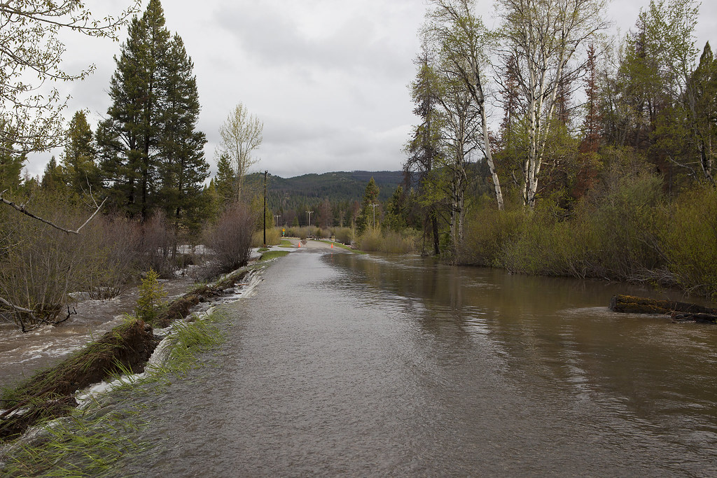
Little Blackfoot River Road
Topographic Map of Lee Mountain, Montana, USA
Find elevation by address:

Places near Lee Mountain, Montana, USA:
3642 Rimini Rd
3482 Rimini Rd
Jericho Mountain
Okeefe Mountain
Colorado Mountain
Helena, MT, USA
1460 Elk Trail Dr
1933 Colorado Gulch Dr
6167 Honey Bear Rd
1737 Colorado Gulch Dr
1632 Colorado Gulch Dr
47 Highland Meadow Rd
880 Lump Gulch Rd
Elliston
Mullan Pass
4550 Crooked Pine Dr
4734 Iron Ridge Loop
4842 Iron Ridge Loop
7170 Skelly Gulch Rd
2073 Black Alder Gulch
Recent Searches:
- Elevation of Corso Fratelli Cairoli, 35, Macerata MC, Italy
- Elevation of Tallevast Rd, Sarasota, FL, USA
- Elevation of 4th St E, Sonoma, CA, USA
- Elevation of Black Hollow Rd, Pennsdale, PA, USA
- Elevation of Oakland Ave, Williamsport, PA, USA
- Elevation of Pedrógão Grande, Portugal
- Elevation of Klee Dr, Martinsburg, WV, USA
- Elevation of Via Roma, Pieranica CR, Italy
- Elevation of Tavkvetili Mountain, Georgia
- Elevation of Hartfords Bluff Cir, Mt Pleasant, SC, USA