Elevation of Lee County Rd, Salem, AL, USA
Location: United States > Alabama > Lee County > Salem >
Longitude: -85.188232
Latitude: 32.5095066
Elevation: 126m / 413feet
Barometric Pressure: 100KPa
Elevation Map:
Satellite Map:
Related Photos:

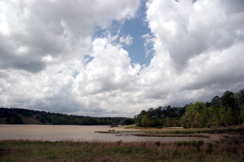
Great Falls

365/365 Great Falls

Great Falls
Green Island

Sun Setting Over the Pasture Grass

Foggy Sunrise

Foggy Sunrise Over the Pond

Fishing At Uncle Rusty's

Fishing At Uncle Rusty's

Great Falls

Great Falls
Topographic Map of Lee County Rd, Salem, AL, USA
Find elevation by address:

Places near Lee County Rd, Salem, AL, USA:
Co Rd, Salem, AL, USA
103 Lee Road 411
103 Lee Road 411
103 Lee Road 411
103 Lee Road 411
103 Lee Road 411
103 Lee Road 411
103 Lee Road 411
103 Lee Road 411
103 Lee Road 411
103 Lee Road 411
103 Lee Road 411
Huguley Rd, Opelika, AL, USA
Lee Rd, Smiths Station, AL, USA
2744 Lee Rd 40
Patricia Drive
Patricia Drive
US-80, Phenix City, AL, USA
2270 Lee Rd 40
Co Rd 21, Opelika, AL, USA
Recent Searches:
- Elevation of 3 Nestling Wood Dr, Long Valley, NJ, USA
- Elevation of Ilungu, Tanzania
- Elevation of Yellow Springs Road, Yellow Springs Rd, Chester Springs, PA, USA
- Elevation of Rēzekne Municipality, Latvia
- Elevation of Plikpūrmaļi, Vērēmi Parish, Rēzekne Municipality, LV-, Latvia
- Elevation of 2 Henschke Ct, Caboolture QLD, Australia
- Elevation of Redondo Ave, Long Beach, CA, USA
- Elevation of Sadovaya Ulitsa, 20, Rezh, Sverdlovskaya oblast', Russia
- Elevation of Ulitsa Kalinina, 79, Rezh, Sverdlovskaya oblast', Russia
- Elevation of 72-31 Metropolitan Ave, Middle Village, NY, USA