Elevation of Leal Rd, Christoval, TX, USA
Location: United States > Texas > Tom Green County > Christoval >
Longitude: -100.48481
Latitude: 31.234642
Elevation: 630m / 2067feet
Barometric Pressure: 94KPa
Elevation Map:
Satellite Map:
Related Photos:

Lake Nasworthy Pier San Angelo, Texas
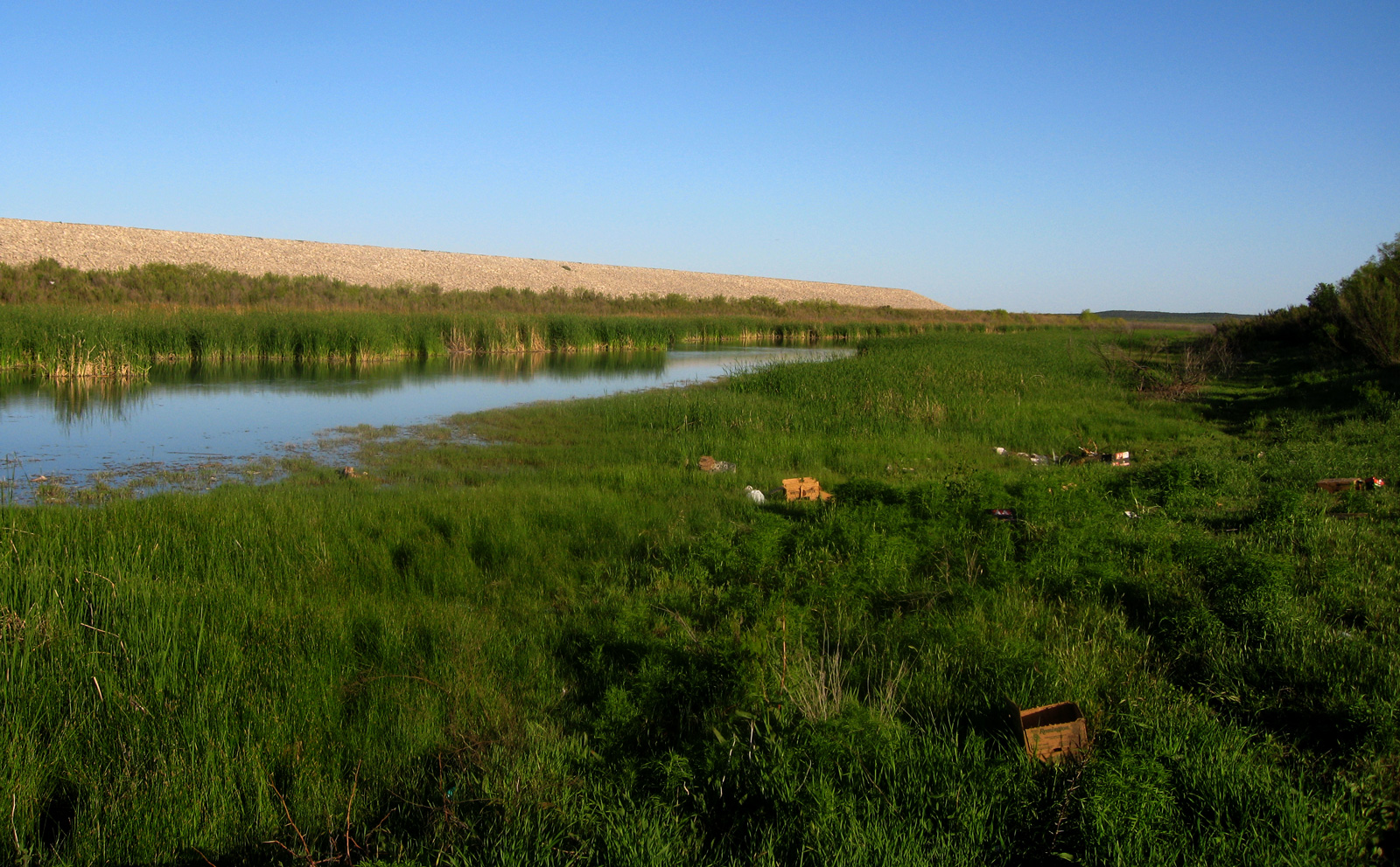
kayak - eq channel
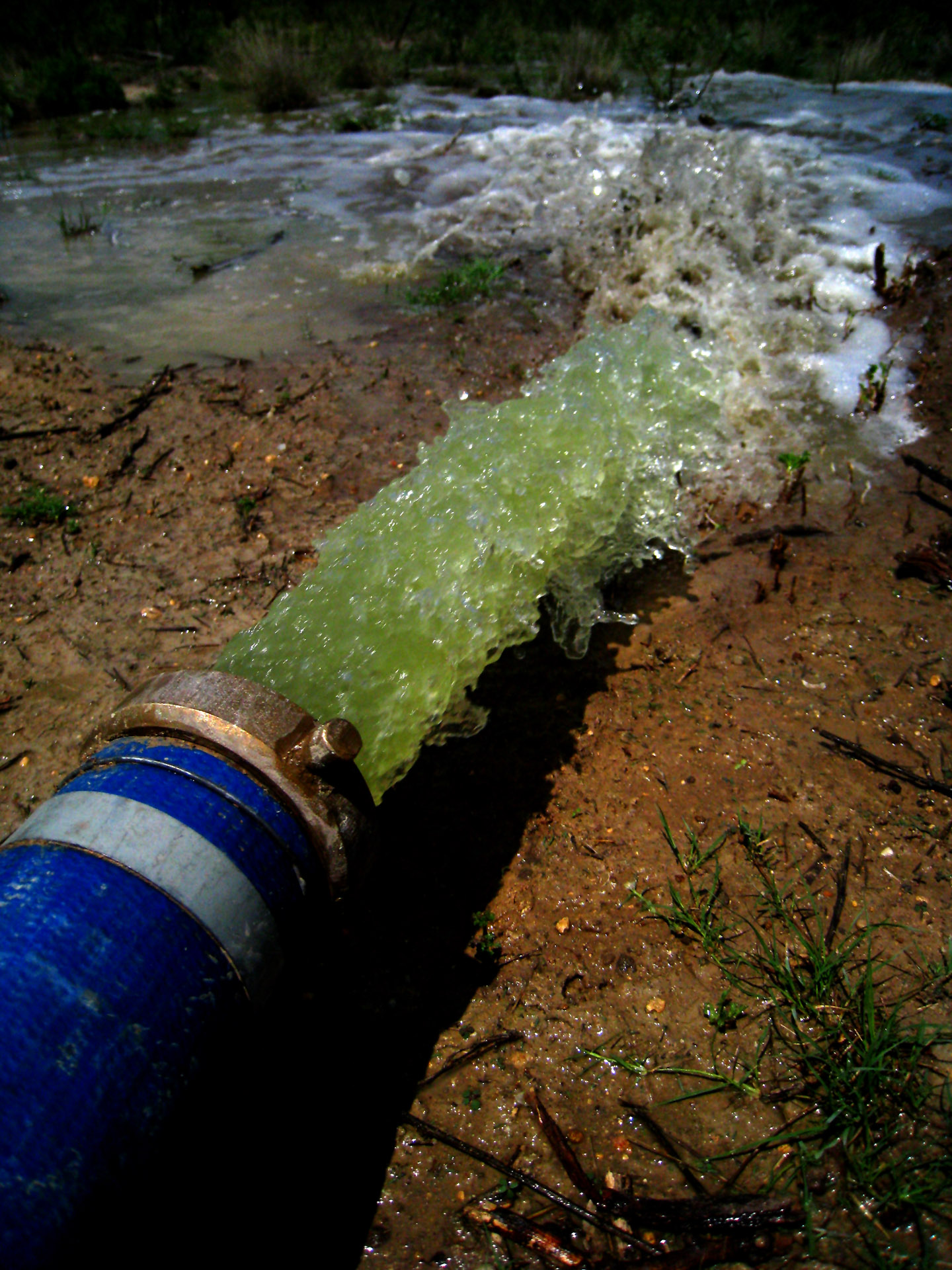
toxic waste

Jonny Durand
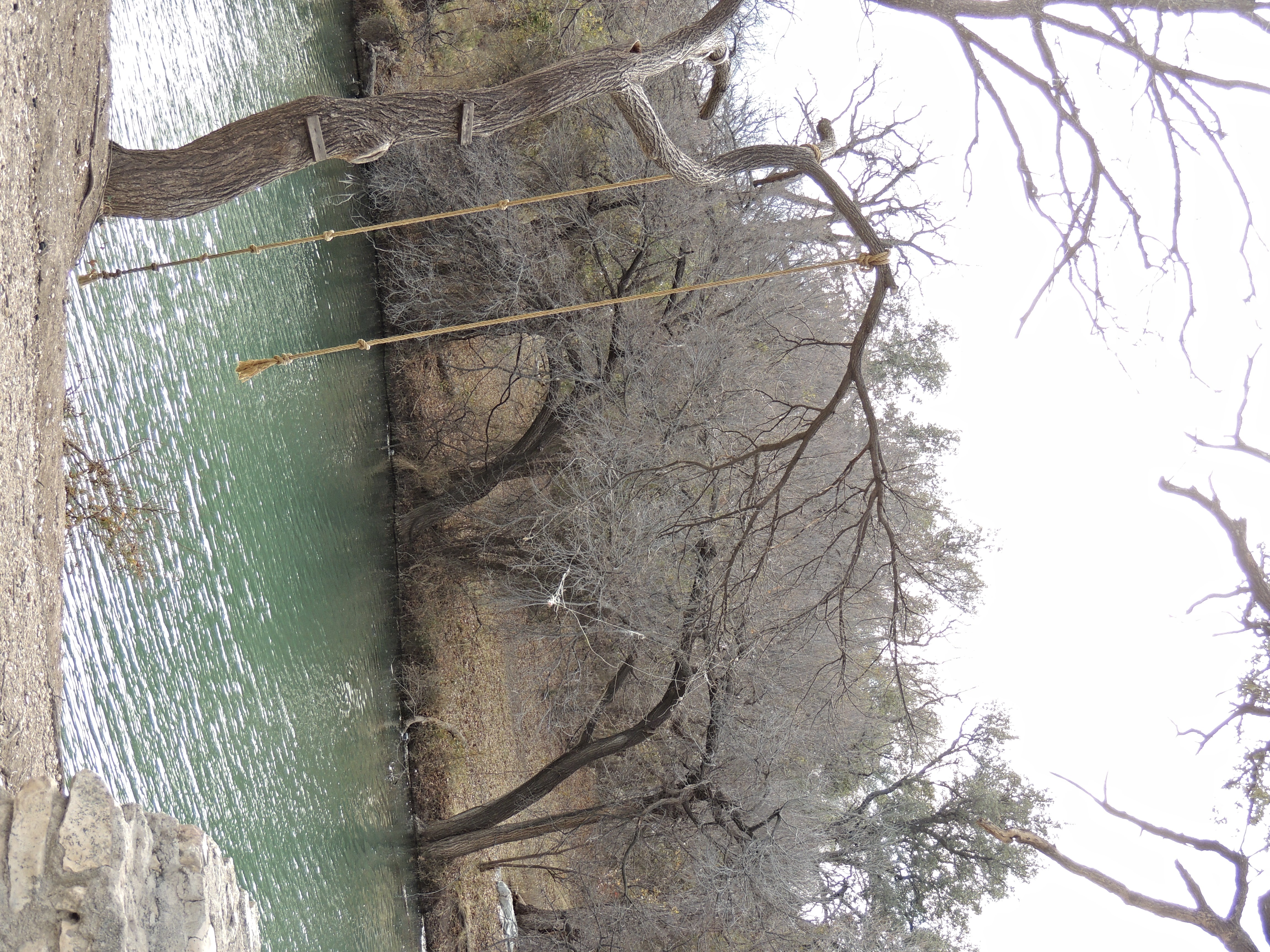
Rope Swings on the South Concho River in Texas

Nasworthy sunset

Lake Nasworthy, San Angelo, Texas

Plant Silhouette
Lake Nasworthy, San Angelo, Texas

Sunset cruise - Lake Nasworthy - San Angelo, Texas

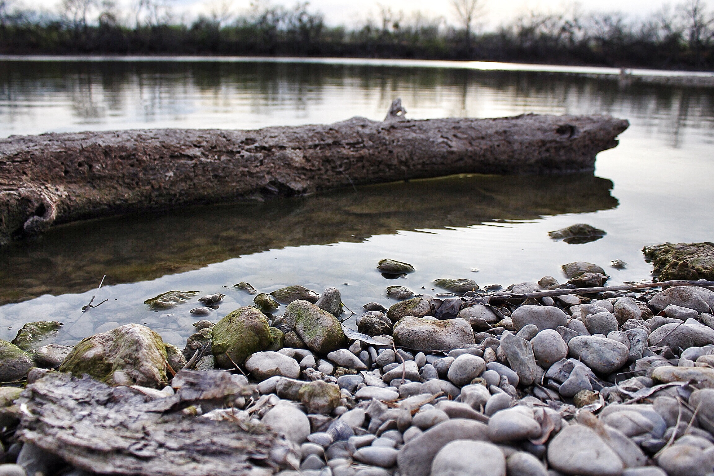
Distant Storm
Topographic Map of Leal Rd, Christoval, TX, USA
Find elevation by address:

Places near Leal Rd, Christoval, TX, USA:
Ford St, Christoval, TX, USA
River Road
Christoval
5228 Cralle Rd
5228 Cralle Rd
19460 Hilltop Rd
6010 Bryka Ln
7278 Candice Rd
7278 Candice Rd
Allen Road
115 Camino Real St
11277 Spring Creek Dr
1862 S Concho Dr
11289 Spring Creek Ln
11277 Spring Creek Ln
11253 Spring Creek Ln
11253 Spring Creek Ln
11253 Spring Creek Ln
11377 Spring Creek Ln
11277 Spring Creek Ln
Recent Searches:
- Elevation of Rojo Ct, Atascadero, CA, USA
- Elevation of Flagstaff Drive, Flagstaff Dr, North Carolina, USA
- Elevation of Avery Ln, Lakeland, FL, USA
- Elevation of Woolwine, VA, USA
- Elevation of Lumagwas Diversified Farmers Multi-Purpose Cooperative, Lumagwas, Adtuyon, RV32+MH7, Pangantucan, Bukidnon, Philippines
- Elevation of Homestead Ridge, New Braunfels, TX, USA
- Elevation of Orchard Road, Orchard Rd, Marlborough, NY, USA
- Elevation of 12 Hutchinson Woods Dr, Fletcher, NC, USA
- Elevation of Holloway Ave, San Francisco, CA, USA
- Elevation of Norfolk, NY, USA