Elevation of Lavanttal Alps, Austria
Location: Austria > Styria > Voitsberg District > Gößnitz > Hochgößnitz >
Longitude: 14.95
Latitude: 47.07
Elevation: 1311m / 4301feet
Barometric Pressure: 87KPa
Elevation Map:
Satellite Map:
Related Photos:

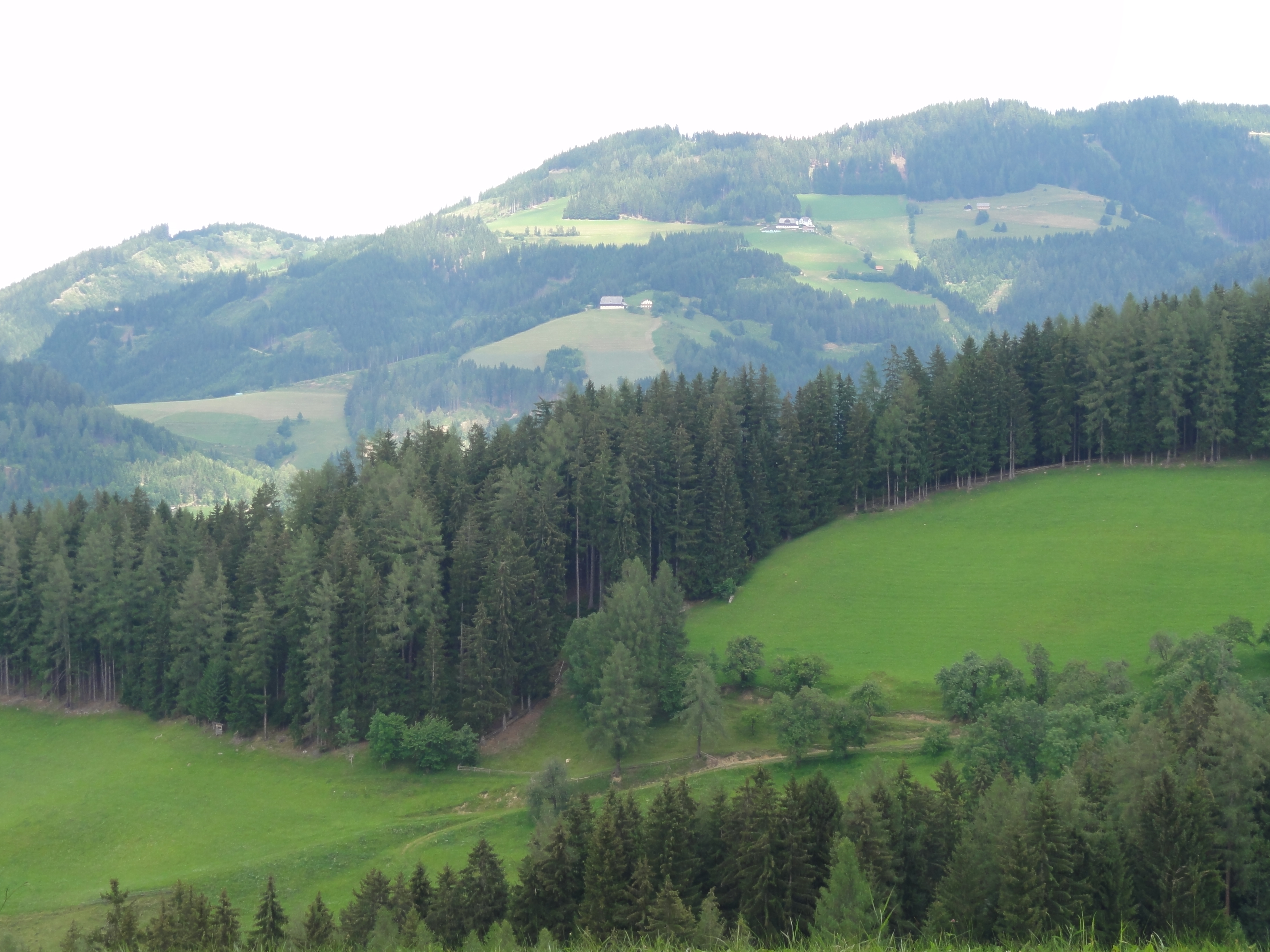
Panoramic view from a mountain in Steiermark

Gaberl pass view 02
Gaberl pass view 01
Topographic Map of Lavanttal Alps, Austria
Find elevation by address:

Places near Lavanttal Alps, Austria:
Hochgößnitz
Gößnitz
Gemeinde Edelschrott
Edelschrott
Köflach
Hans-Kloepfer-Platz 4, Köflach, Austria
Apfelberg 30, Apfelberg, Austria
Modriach
Gemeinde Modriach
Apfelberg
Apfelberg
Stubalpenstraße 92, Landschach, Austria
Gallmannsegg
Gemeinde Gallmannsegg
Knittelfeld
Knittelfeld
Reifersdorf 14, Reifersdorf, Austria
Voitsberg District
Gemeinde Voitsberg
Hadergasse 30, Hadergasse, Austria
Recent Searches:
- Elevation of Corso Fratelli Cairoli, 35, Macerata MC, Italy
- Elevation of Tallevast Rd, Sarasota, FL, USA
- Elevation of 4th St E, Sonoma, CA, USA
- Elevation of Black Hollow Rd, Pennsdale, PA, USA
- Elevation of Oakland Ave, Williamsport, PA, USA
- Elevation of Pedrógão Grande, Portugal
- Elevation of Klee Dr, Martinsburg, WV, USA
- Elevation of Via Roma, Pieranica CR, Italy
- Elevation of Tavkvetili Mountain, Georgia
- Elevation of Hartfords Bluff Cir, Mt Pleasant, SC, USA