Elevation of Laurels Rd, Johnson City, TN, USA
Location: United States > Tennessee > Washington County > Johnson City >
Longitude: -82.280779
Latitude: 36.259623
Elevation: 600m / 1968feet
Barometric Pressure: 94KPa
Elevation Map:
Satellite Map:
Related Photos:
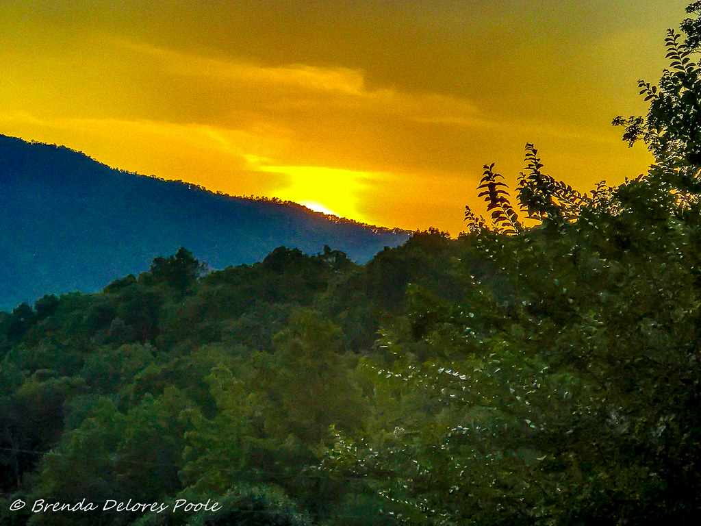
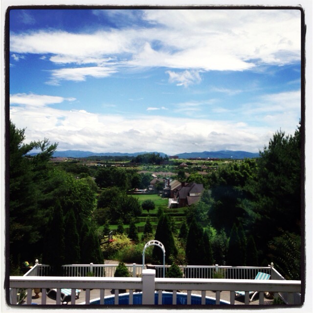
Buffalo Mountain Sunset_-1643-Edit

My view - what are you looking at right now?
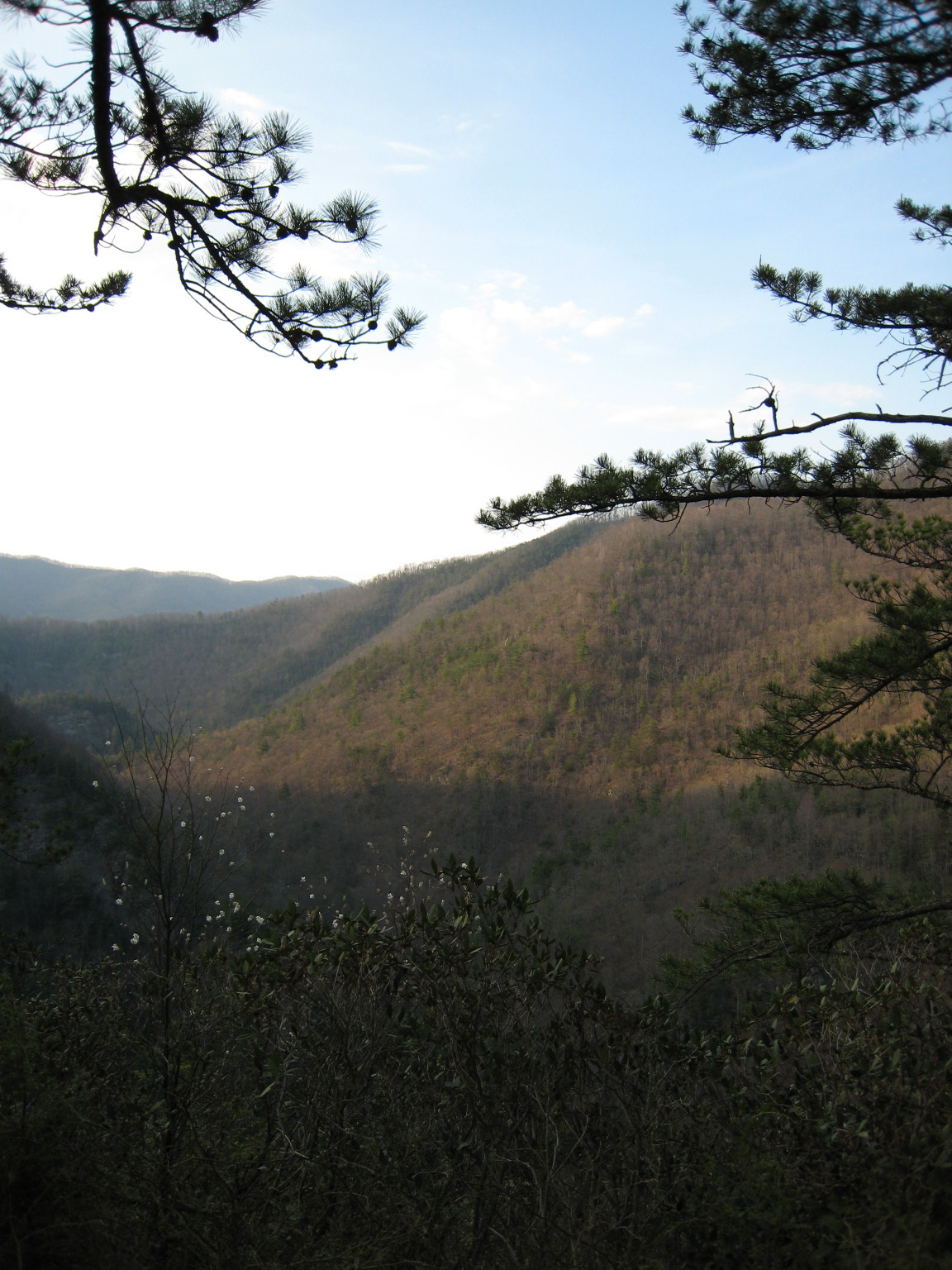
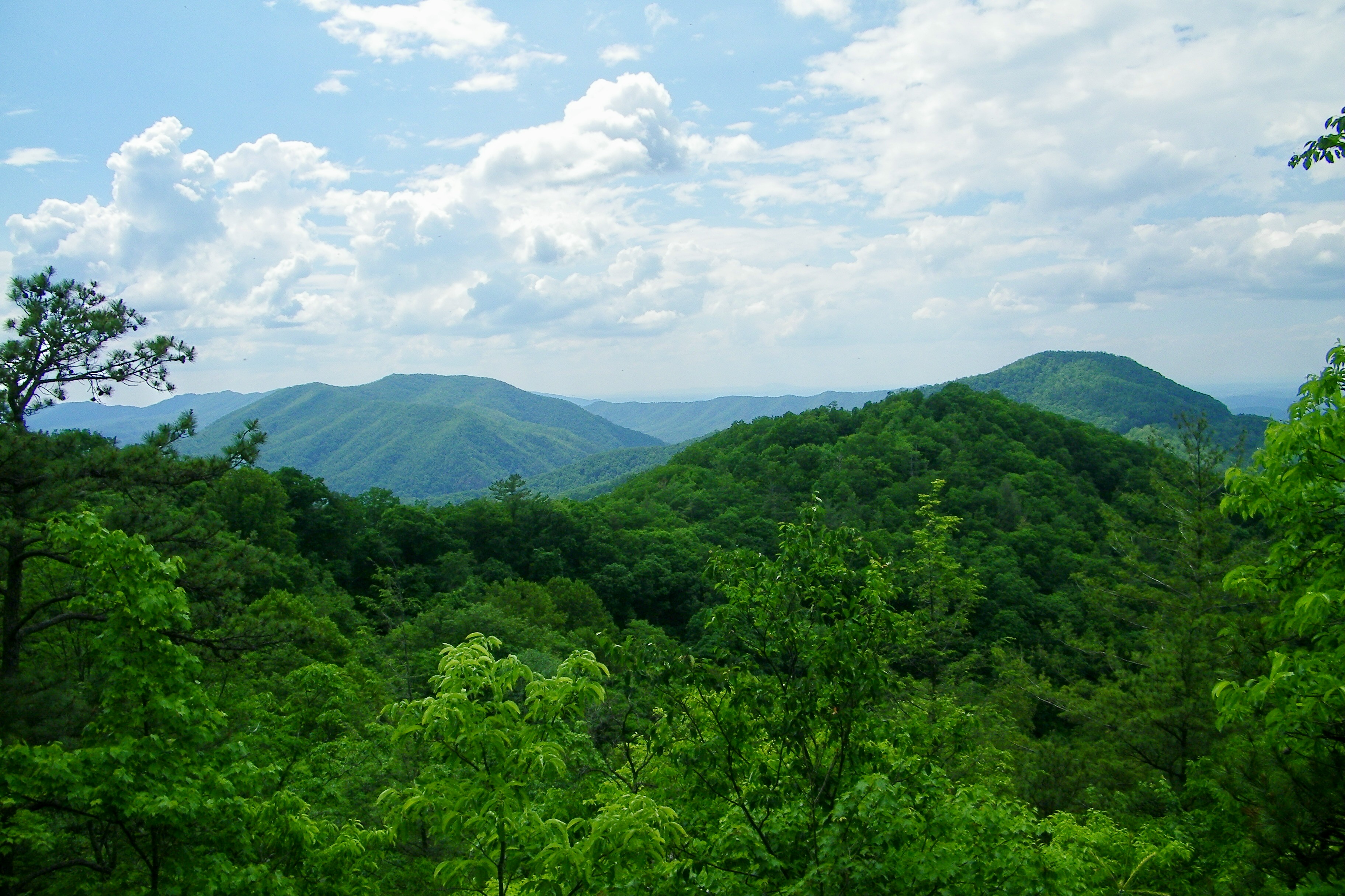
Appalachian Trail
Watauga Lake, Carter County, TN

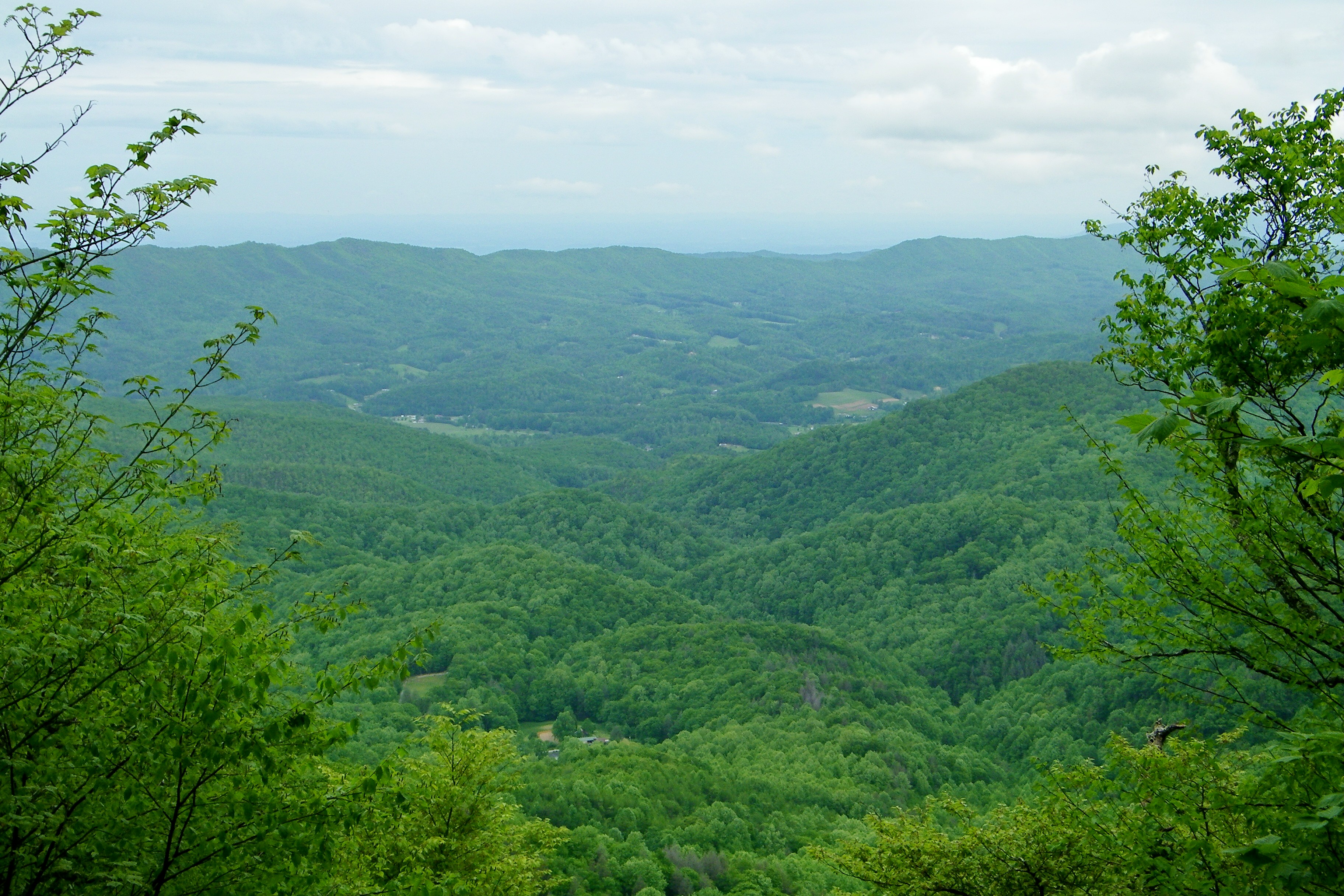
Pinnacle Mountain Fire Tower HDR Panorama
Pinnacle Mountain Lookout Tower

2013.12.27 125K Views

Pinnacle Tower HDR Panorama 2

201 Claire on the trail
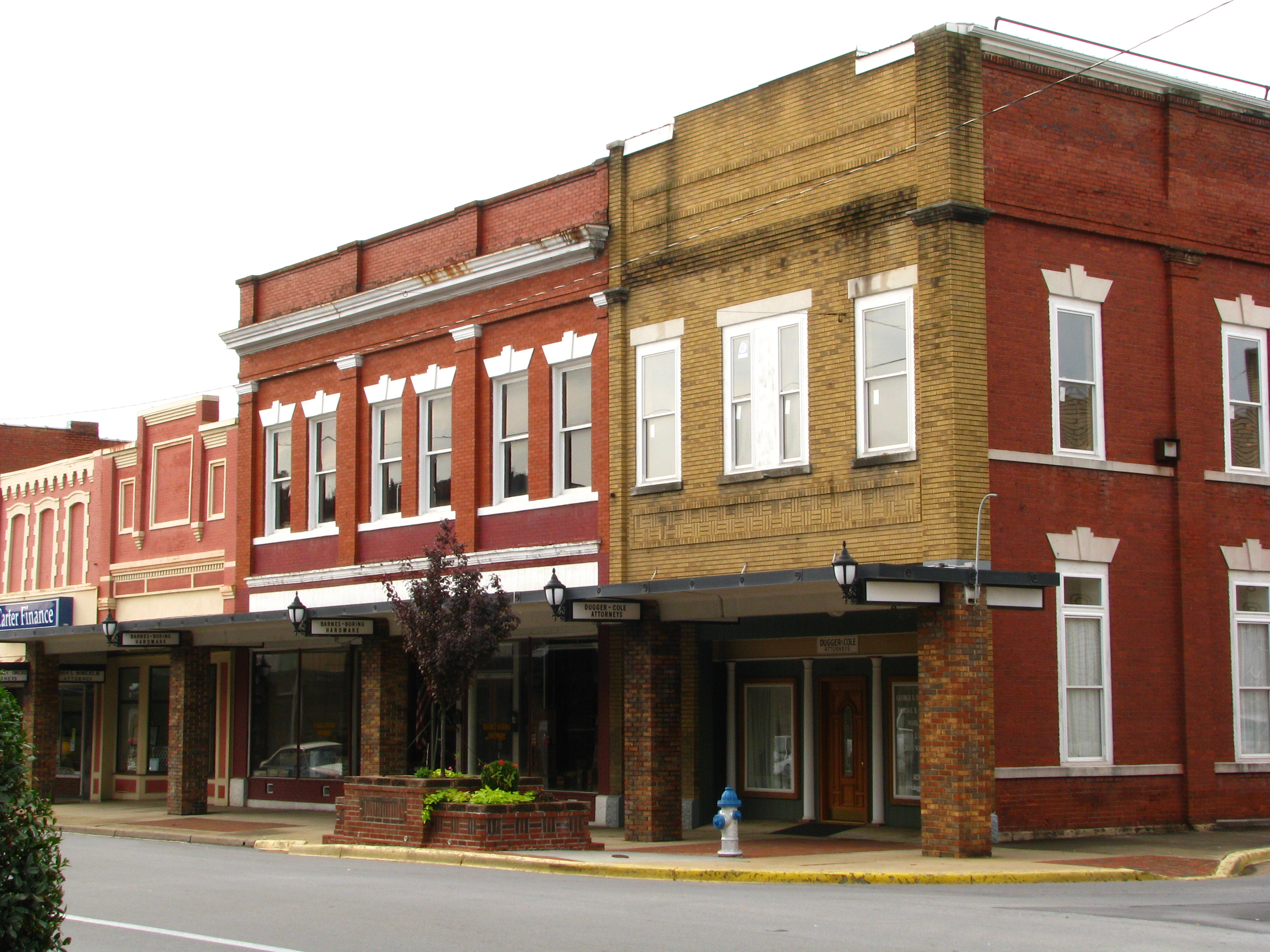
Storefronts of Historic Elizabethton - Barnes Boring Hardware
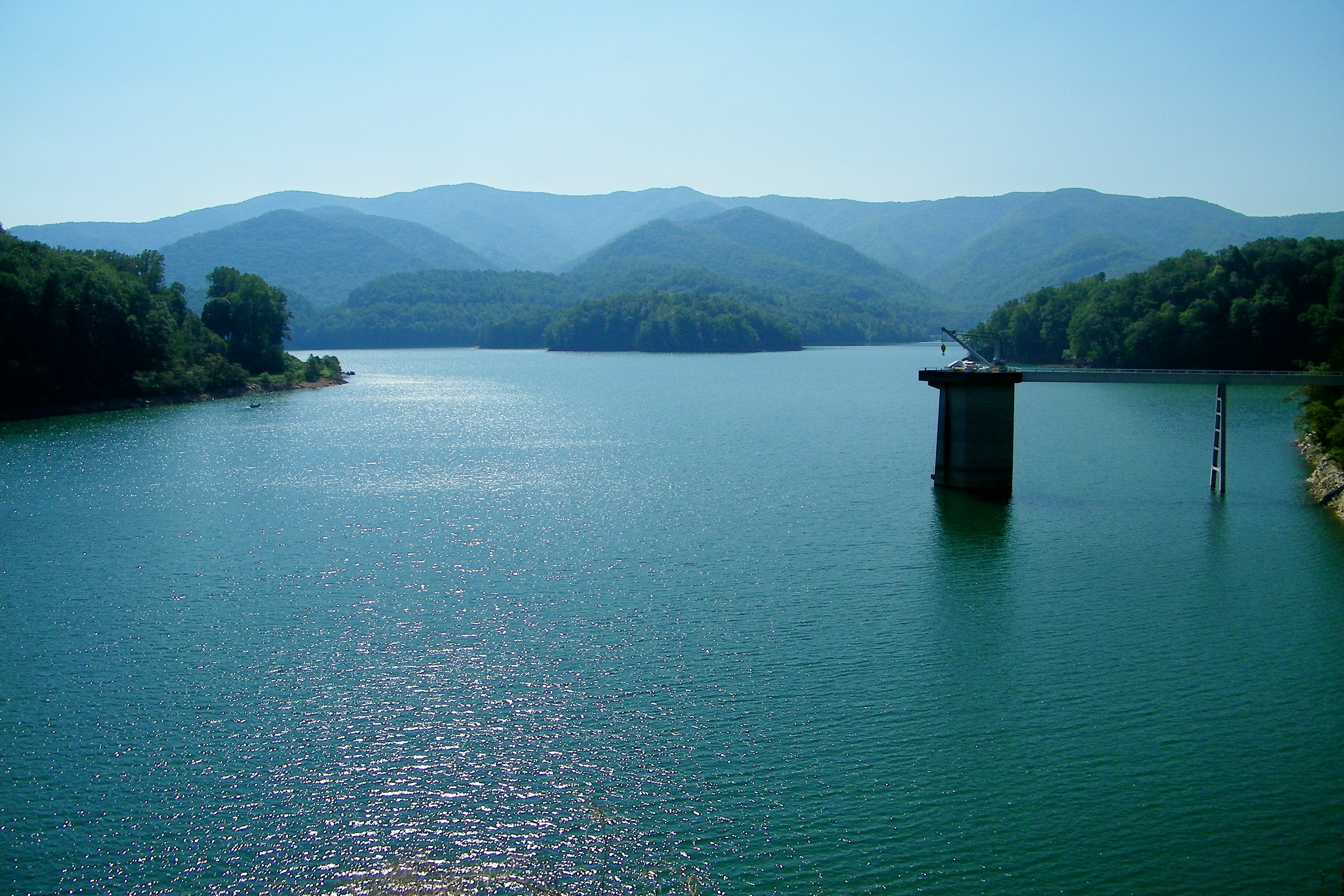
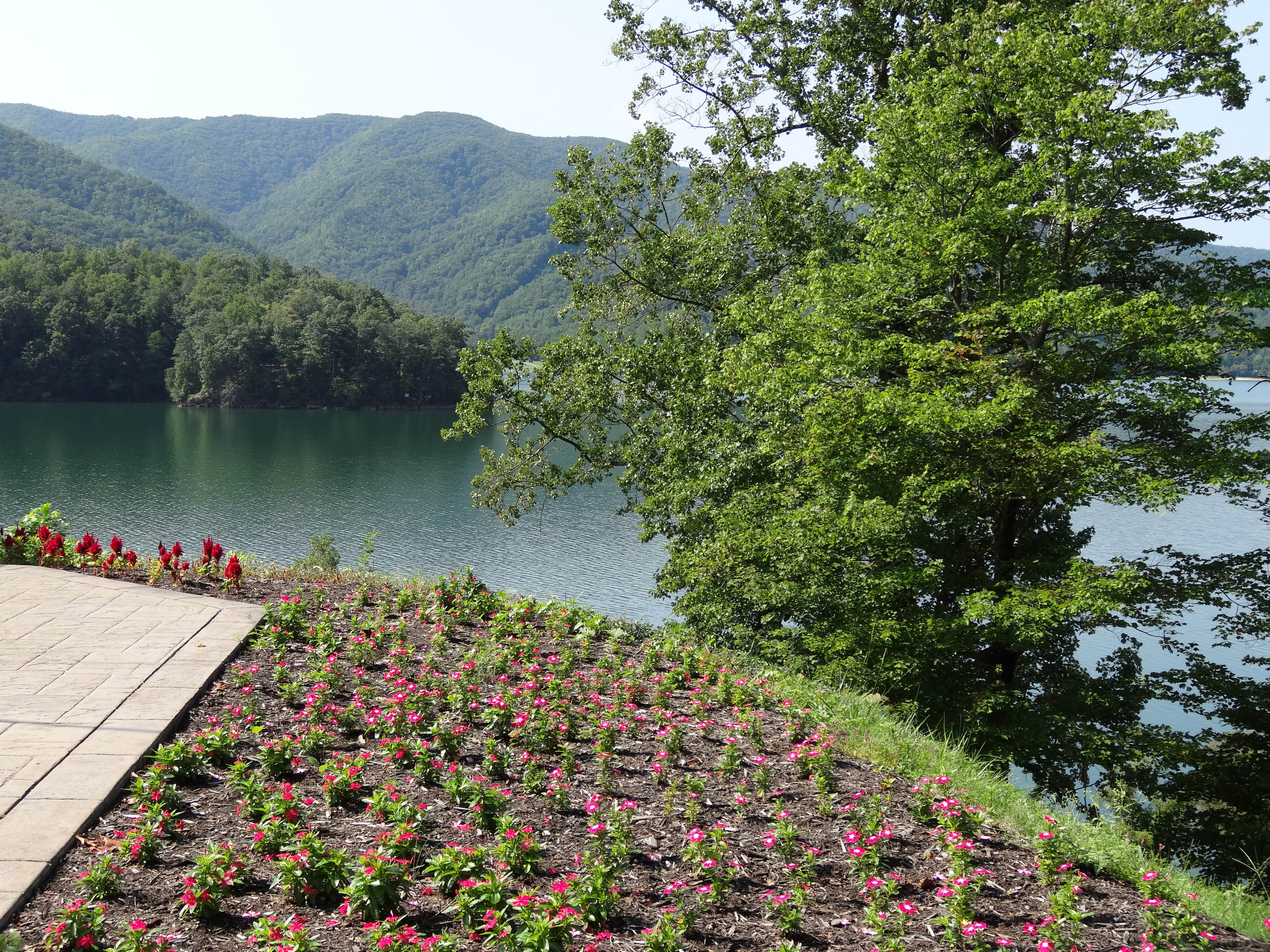
Watauga Lake
Scenic View #2
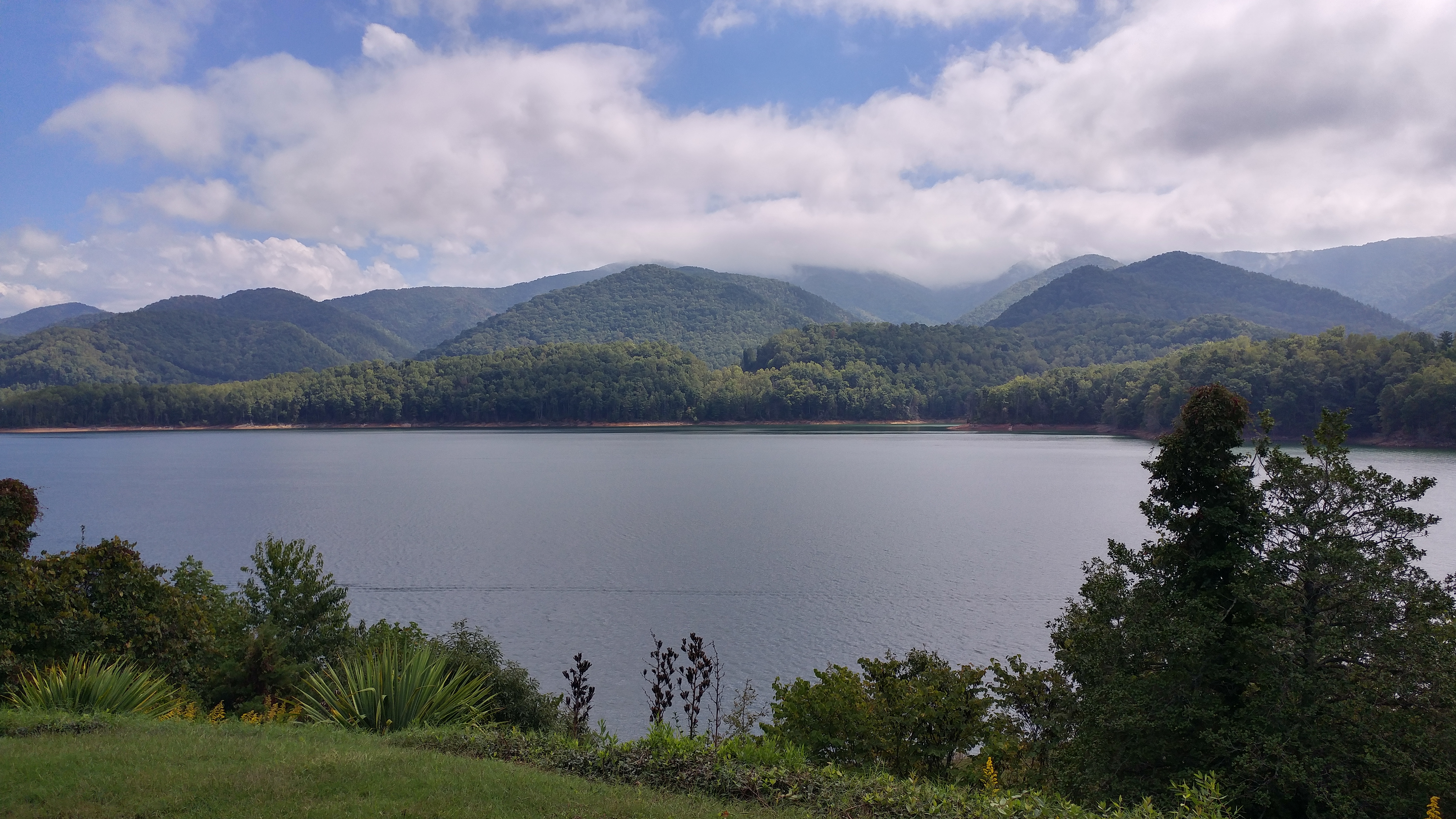
Watauga Lake, Carter County, TN3

myspace 022
Great view

Watauga Lake, Carter County, TN

IMG_5044- Lake Watauga- view across to Shook Branch
Appalachian Trail

197 On the trail to the top

My view today

myspace 020

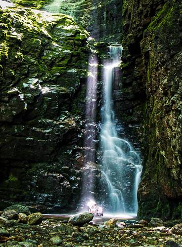
Red Fork Falls

Doe River Covered Bridge

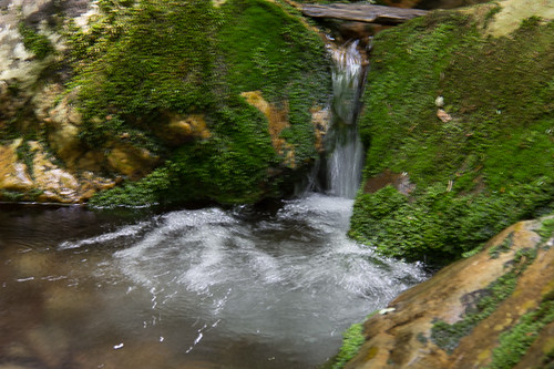
Racing Water
Morning on the Watauga

#firetower #pinnacle #Unicoi #forecast #weatherforecast

Rock Creek Hike
Rock Creek Hike

Johnson City Country Club

Pine Oaks Golf Course
Laurel Fork Falls, Appalachian NST, TN
Canute Place, Appalachian NST, TN2
north of Laurel Fork Falls, Appalachian NST, Hampton, TN2
Shook Branch Recreation Area, Hampton, TN

Laurel Falls

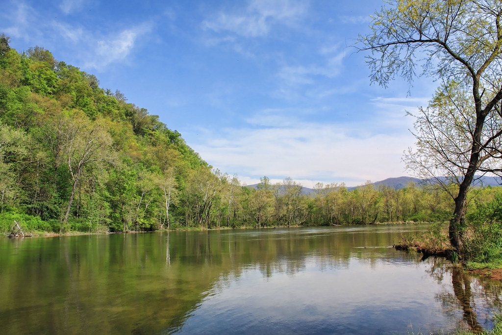
Wautauga River
Rock Creek Hike
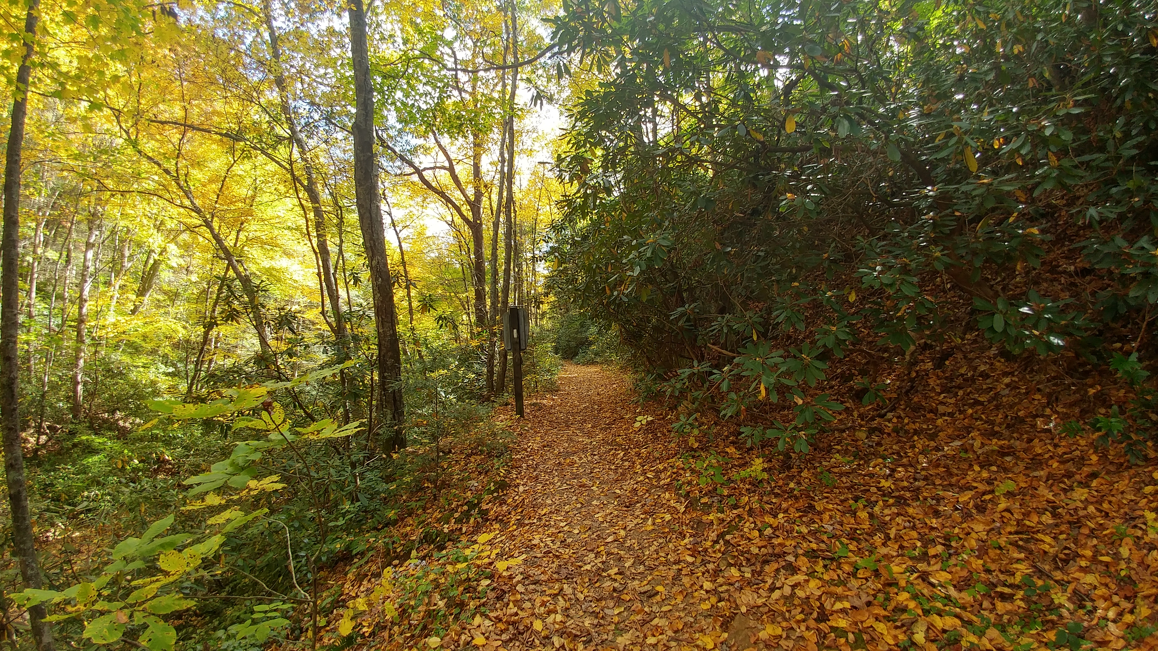
near Dennis Cove Rd, Appalachian NST, Hampton, TN2
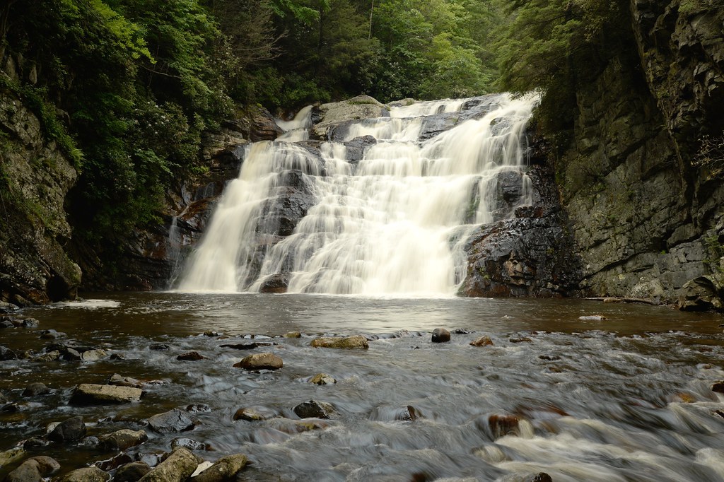
Laurel Fork Falls
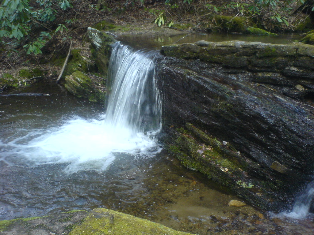
Clear Fork Creek
Topographic Map of Laurels Rd, Johnson City, TN, USA
Find elevation by address:

Places near Laurels Rd, Johnson City, TN, USA:
705 Laurels Rd
632 Toll Branch Rd
612 Toll Branch Rd
624 Laurels Rd
120 Leedham Ln
1430 Whispering Pines Rd
215 Mt Crest Dr
427 Laurels Rd
131 Meadowstone Dr
125 Mountain Laurel Ct
1482 Scioto Rd
1482 Scioto Rd
1482 Scioto Rd
1482 Scioto Rd
613 Whispering Pines Rd
2041 Scioto Rd
1105 Whispering Pines Rd
1101 Whispering Pines Rd
142 Poplar Rd
530 Tipton Rd
Recent Searches:
- Elevation of Gateway Blvd SE, Canton, OH, USA
- Elevation of East W.T. Harris Boulevard, E W.T. Harris Blvd, Charlotte, NC, USA
- Elevation of West Sugar Creek, Charlotte, NC, USA
- Elevation of Wayland, NY, USA
- Elevation of Steadfast Ct, Daphne, AL, USA
- Elevation of Lagasgasan, X+CQH, Tiaong, Quezon, Philippines
- Elevation of Rojo Ct, Atascadero, CA, USA
- Elevation of Flagstaff Drive, Flagstaff Dr, North Carolina, USA
- Elevation of Avery Ln, Lakeland, FL, USA
- Elevation of Woolwine, VA, USA