Elevation of Laureleaf Dr, Prescott, AZ, USA
Location: United States > Arizona > Yavapai County > Prescott >
Longitude: -112.46964
Latitude: 34.521768
Elevation: 1729m / 5673feet
Barometric Pressure: 82KPa
Elevation Map:
Satellite Map:
Related Photos:
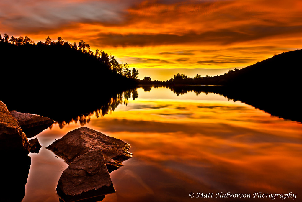
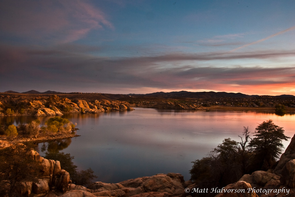
Golden Reflections

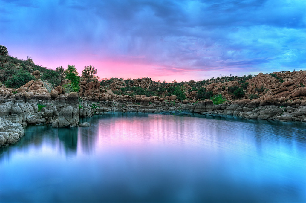
Crimson Rain [explore]

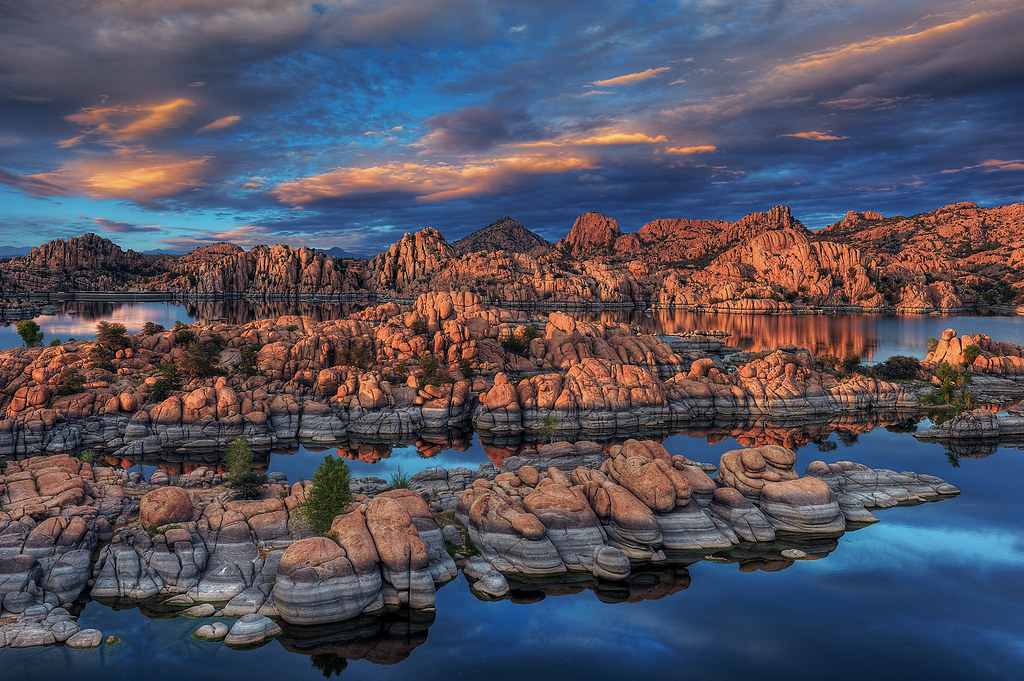
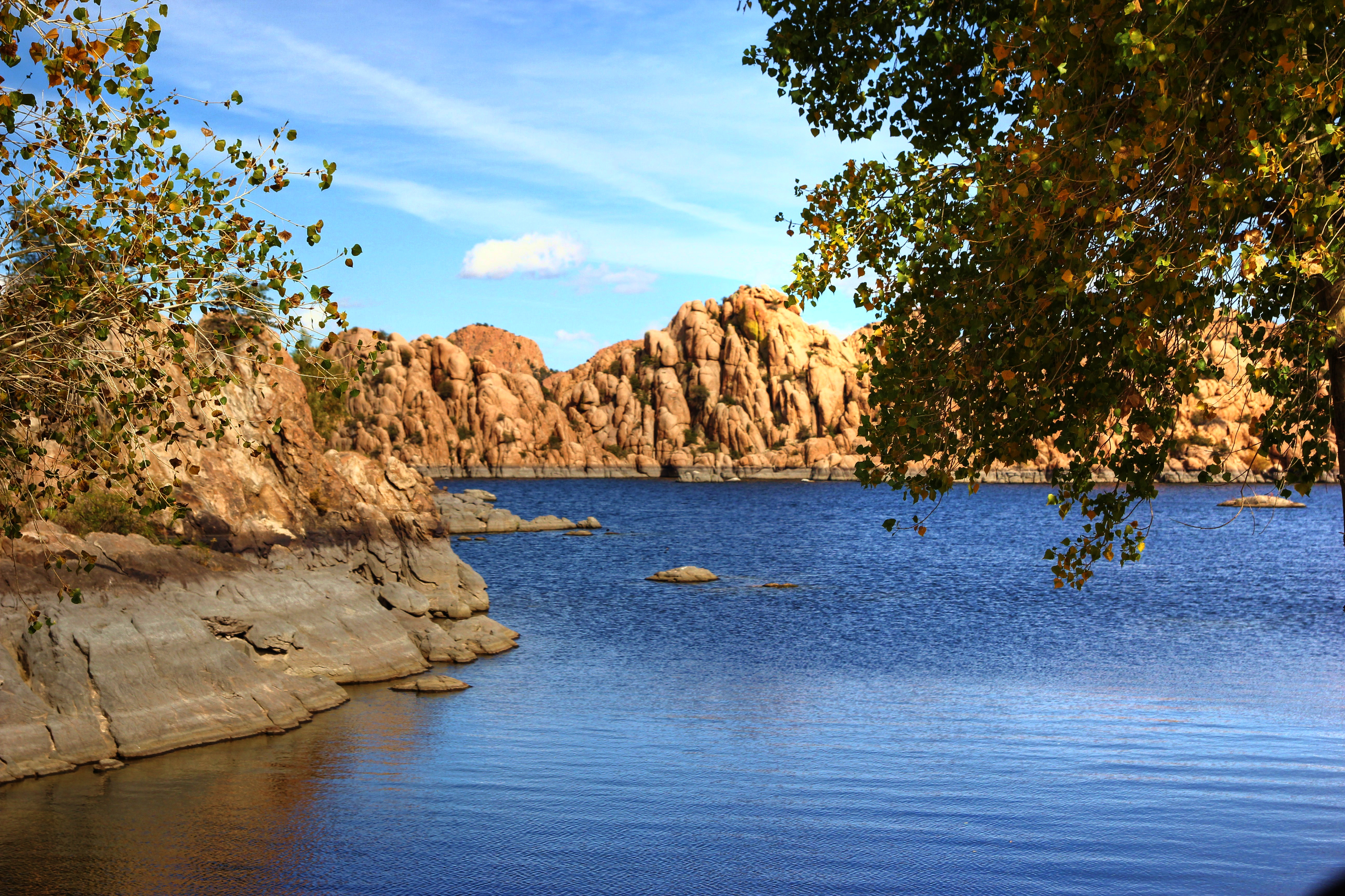
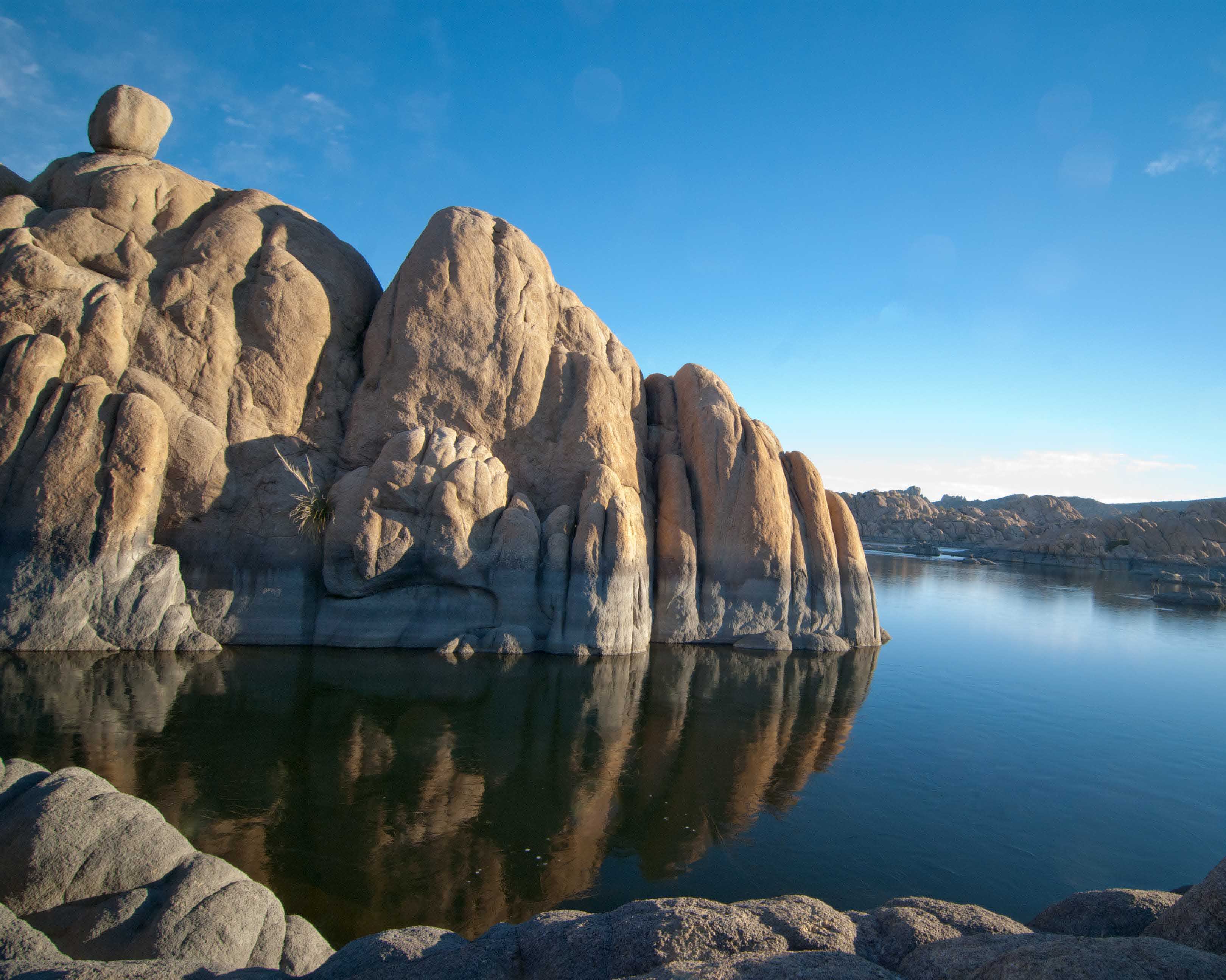
Watson Lake

WATSON, I PRESUME

MPW_6960_1_2(edited)
Sunset Senechal
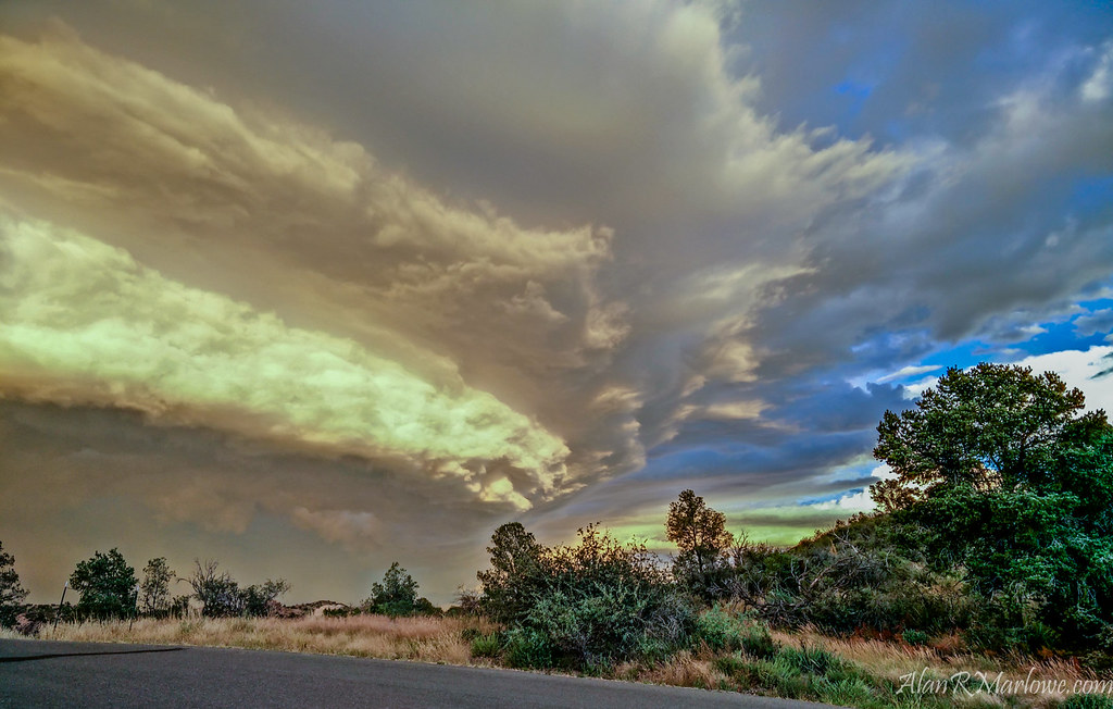
Shelf Cloud over Prescott
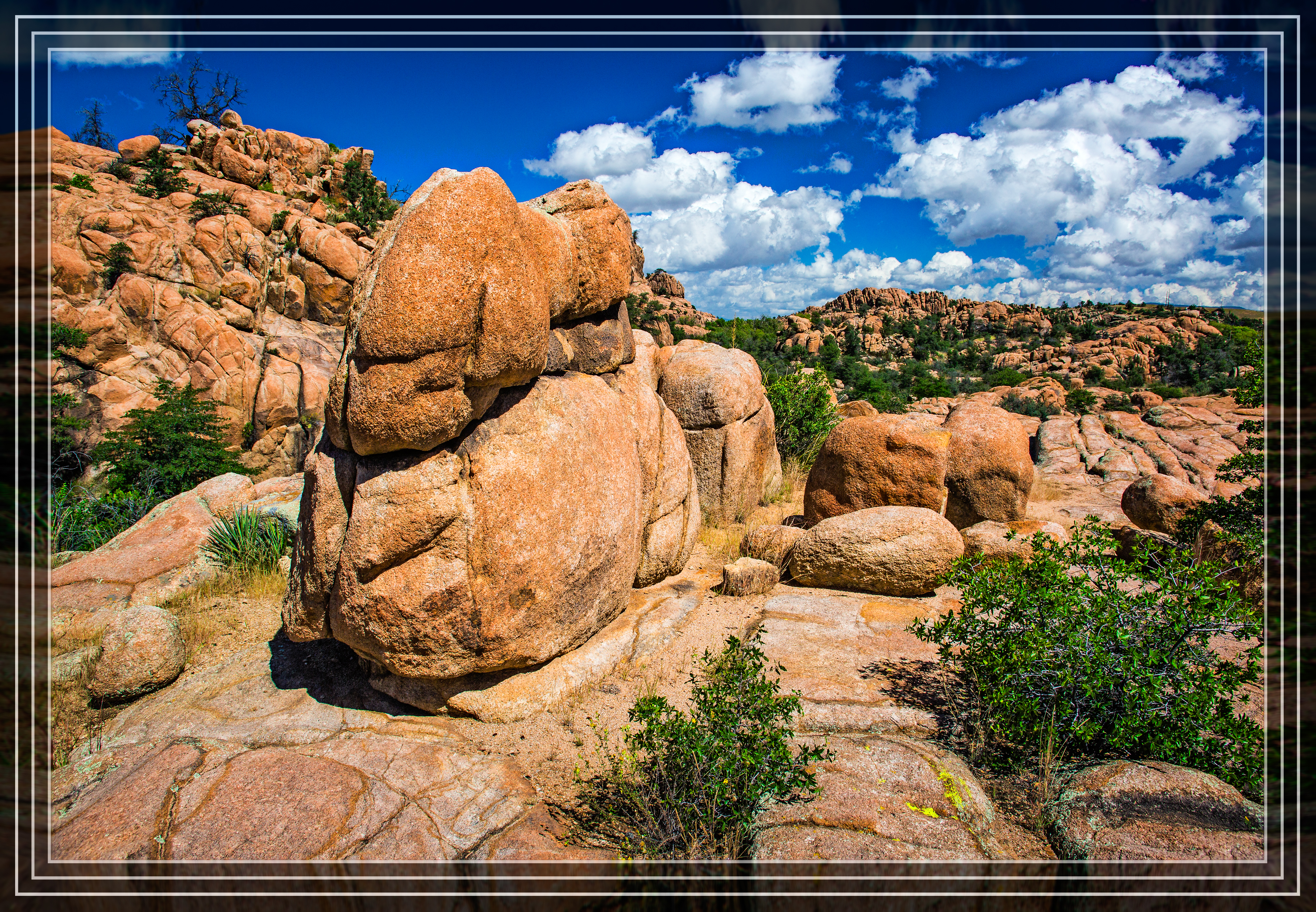
Granite Dells
Watson Lake View

Watson Lake, Prescott
Middle Earth

Watson Lake - Granite Dells - 16 Degrees
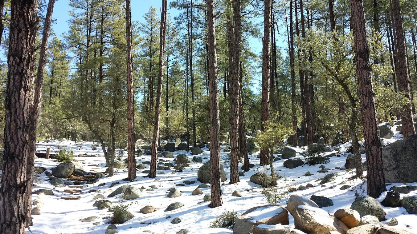
Goldwater Lake forest

2W0A6049.jpg
IMG_6586.JPG
Sunset on Willow Lake

Lower Frequency

Watson Lake
one round rock
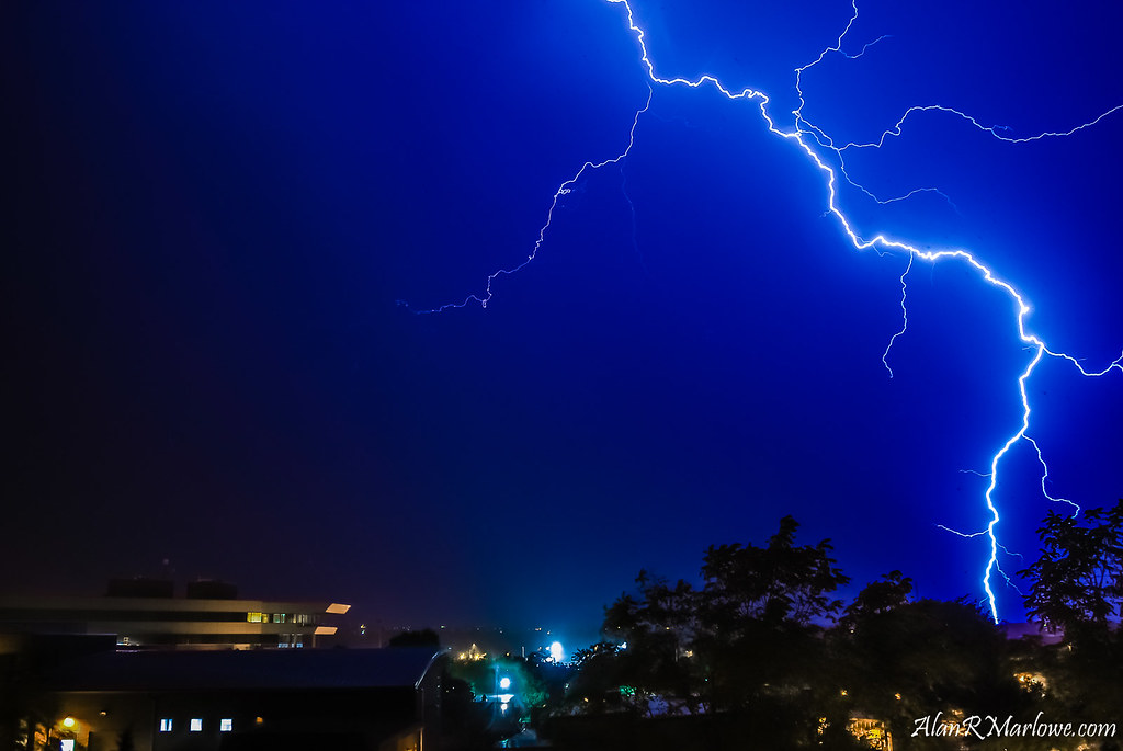
September Strikes

Watson Lake Panorama 1
Topographic Map of Laureleaf Dr, Prescott, AZ, USA
Find elevation by address:

Places near Laureleaf Dr, Prescott, AZ, USA:
1125 Northwood Loop
270 Crestwood E
330 Long Branch W
280 High Chaparral
190 Partridge Ln
1240 Haisley Rd
1181 Tanglewood Rd
950 Northwood Loop
1520 Kaibab N
880 Northwood Loop
1455 Pine Tree Ln
858 S Granite St Lot 4-r
1210 Deer Run Rd
903 Marcus Dr
1230 Deerfield Rd
1631 Kaibab Loop
650 Haisley Rd
Karen Dr, Prescott, AZ, USA
963 Buck Hill Rd
514 Karen Dr
Recent Searches:
- Elevation of Congressional Dr, Stevensville, MD, USA
- Elevation of Bellview Rd, McLean, VA, USA
- Elevation of Stage Island Rd, Chatham, MA, USA
- Elevation of Shibuya Scramble Crossing, 21 Udagawacho, Shibuya City, Tokyo -, Japan
- Elevation of Jadagoniai, Kaunas District Municipality, Lithuania
- Elevation of Pagonija rock, Kranto 7-oji g. 8"N, Kaunas, Lithuania
- Elevation of Co Rd 87, Jamestown, CO, USA
- Elevation of Tenjo, Cundinamarca, Colombia
- Elevation of Côte-des-Neiges, Montreal, QC H4A 3J6, Canada
- Elevation of Bobcat Dr, Helena, MT, USA