Elevation of Laurel Branch Road, Laurel Branch Rd, Ivy Hill, NC, USA
Location: United States > North Carolina > Haywood County > Ivy Hill > Maggie Valley >
Longitude: -83.112442
Latitude: 35.5236831
Elevation: 955m / 3133feet
Barometric Pressure: 90KPa
Elevation Map:
Satellite Map:
Related Photos:
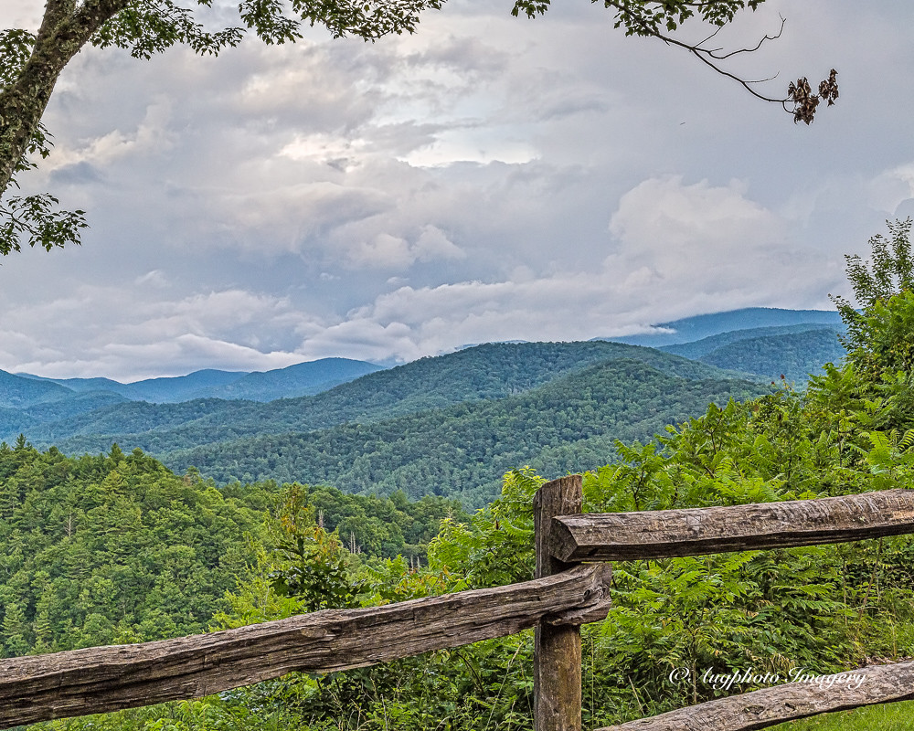
Cataloochee Valley View Over Fence

An EXTRAORDINARY View!
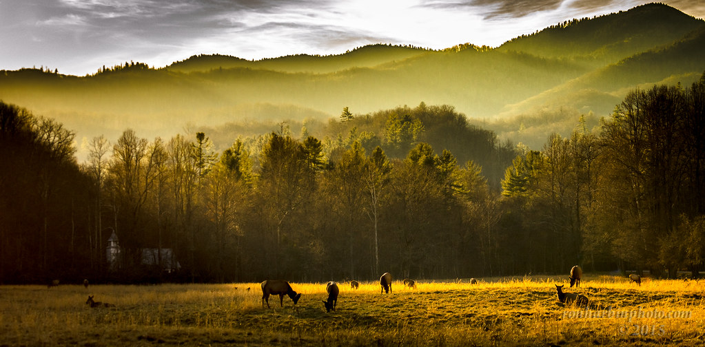
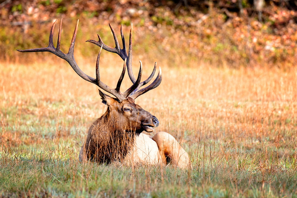
Cataloochee Elk-GSMNP
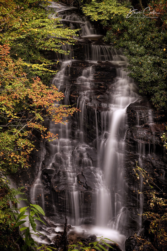
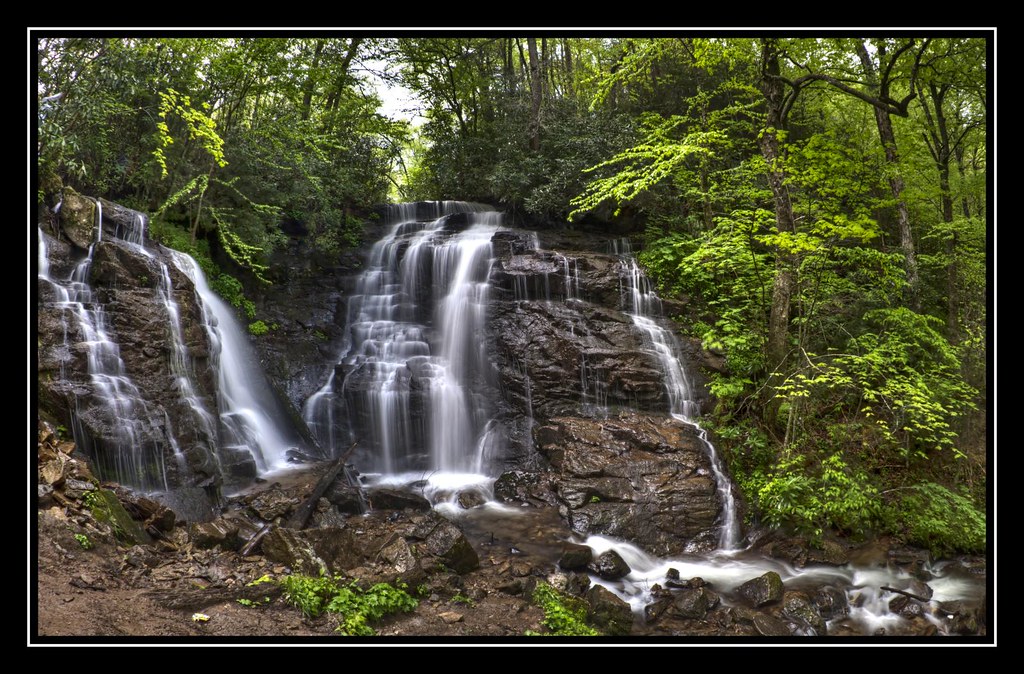
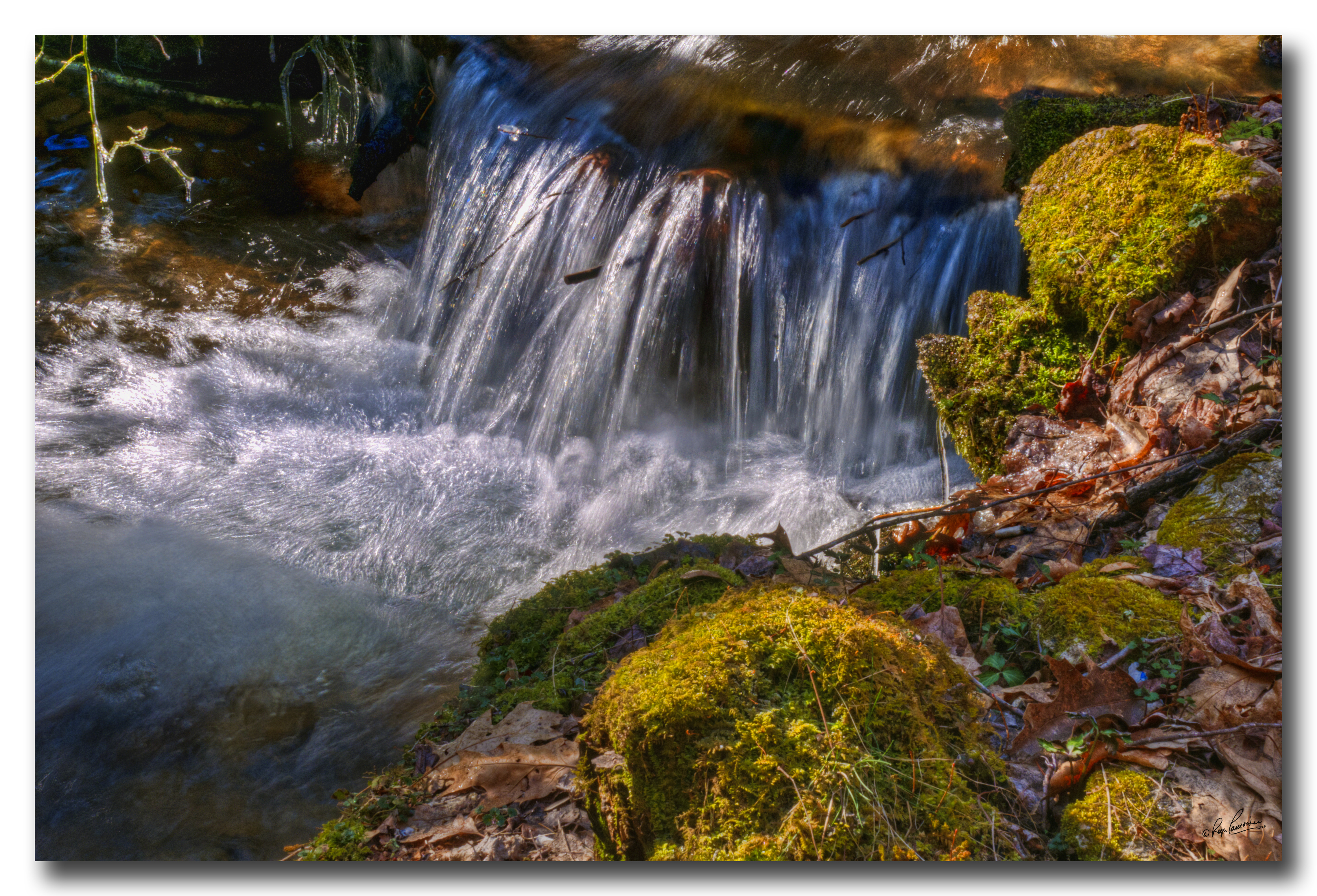
Soco Falls
Hindered View
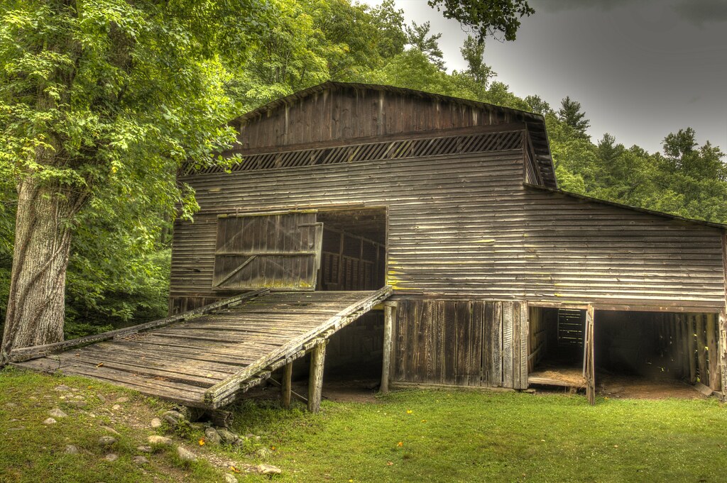
Palmer Barn Door
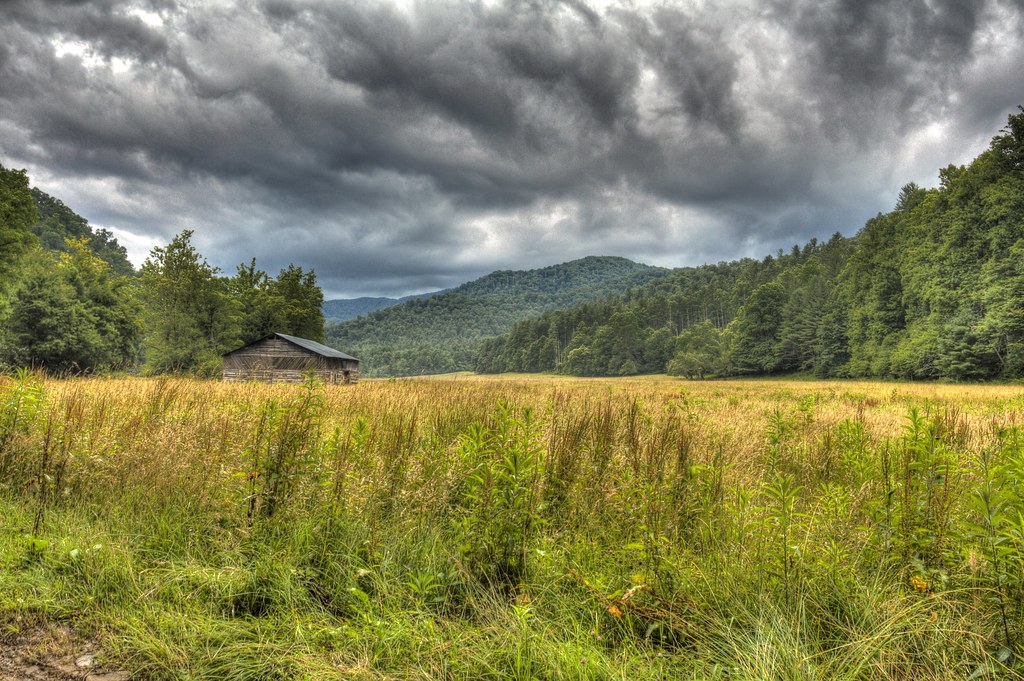
Cabin in the Field
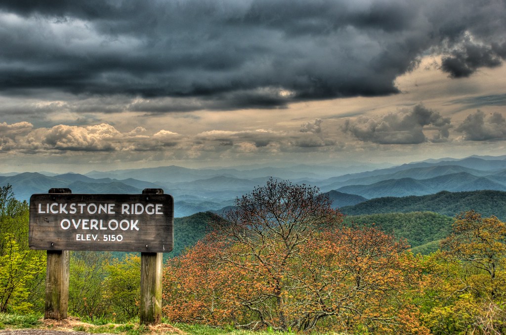
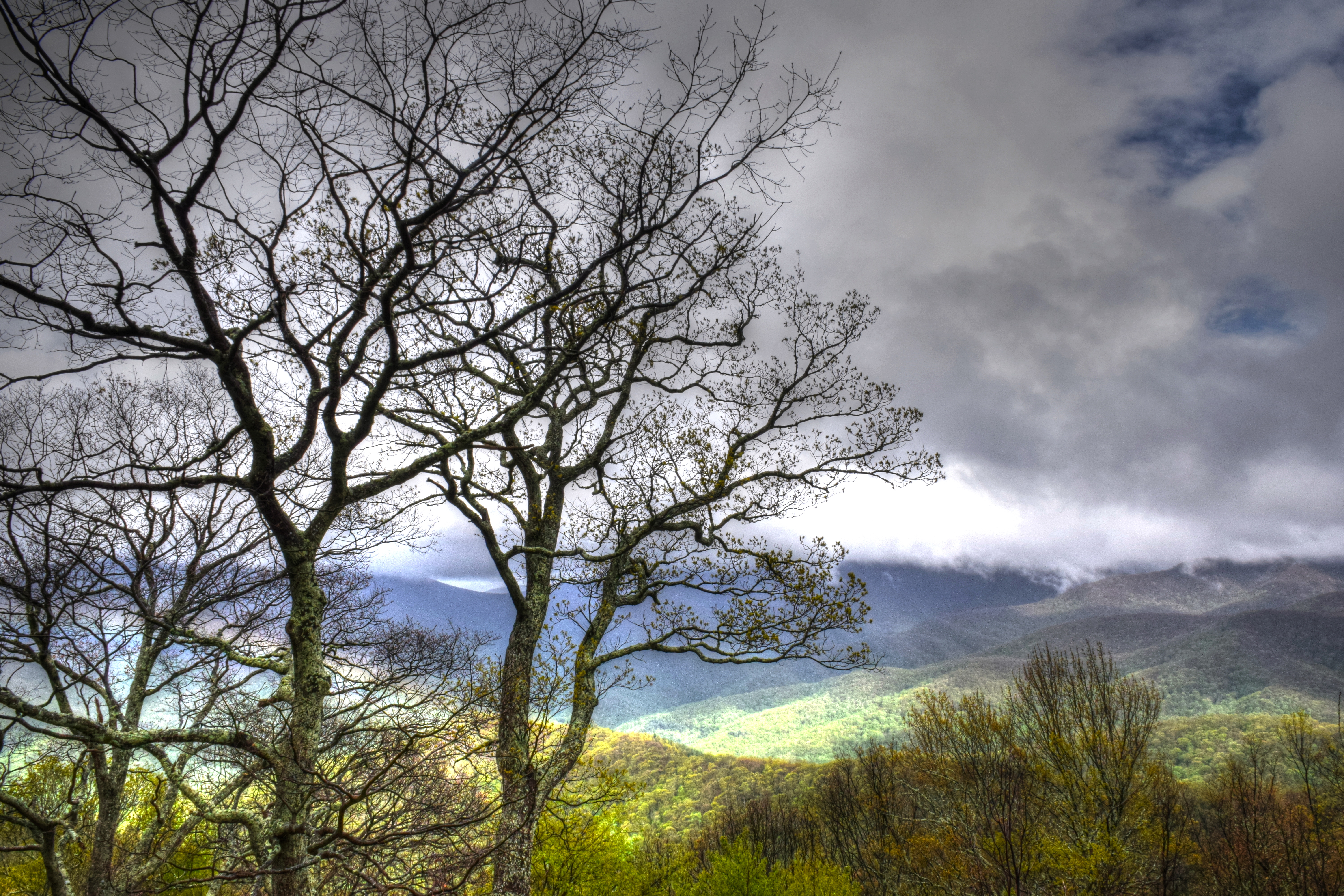
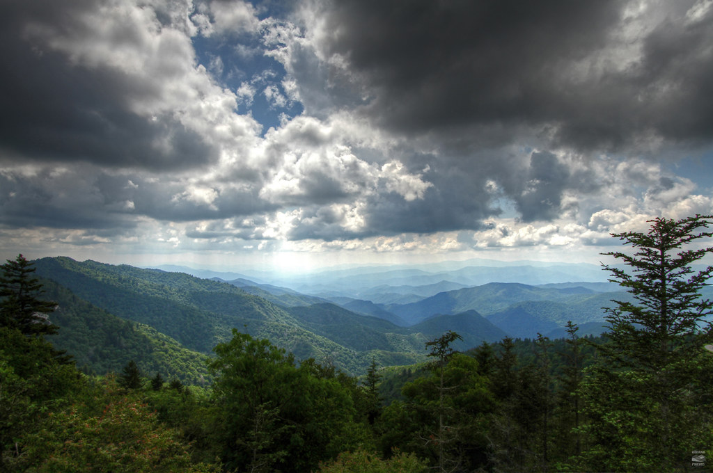
Lickstone Ridge Overlook in HDR

Mingo Falls

Cataloochee Creek

Current view from our cabin
Soco Falls (Lower View)
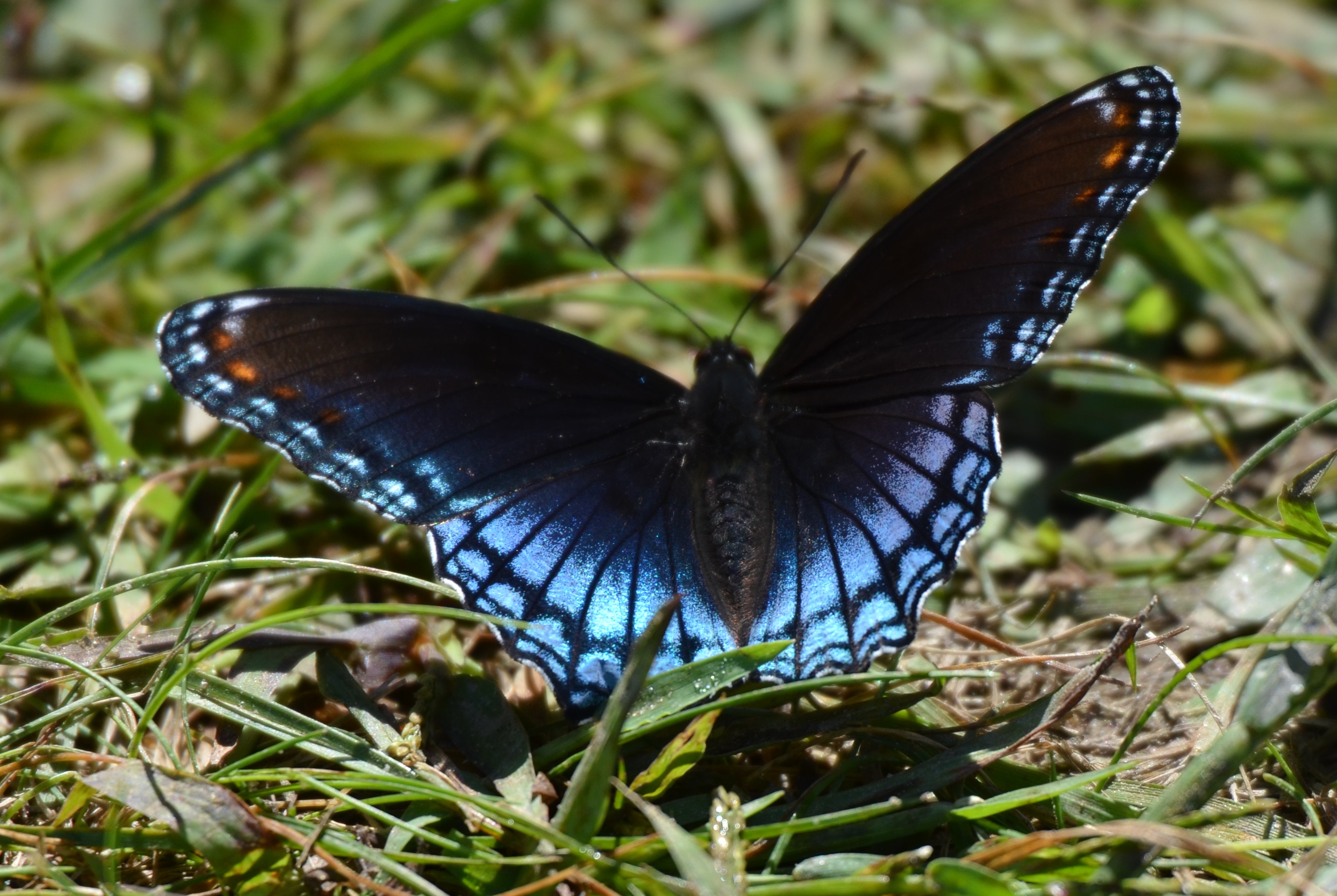
225e red spotted purple

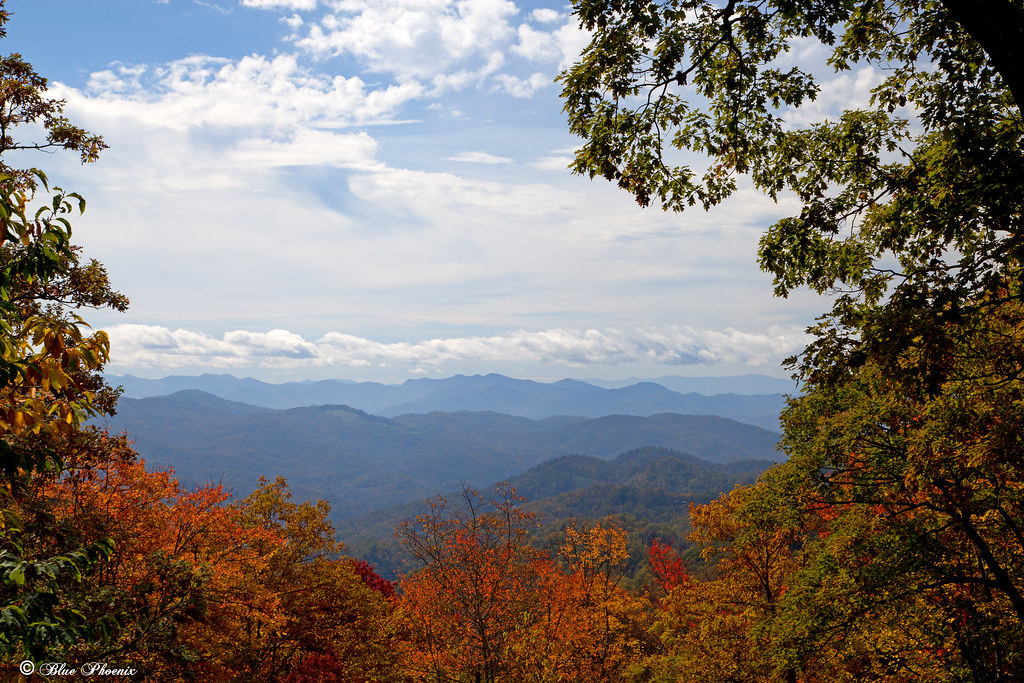
Mountain View
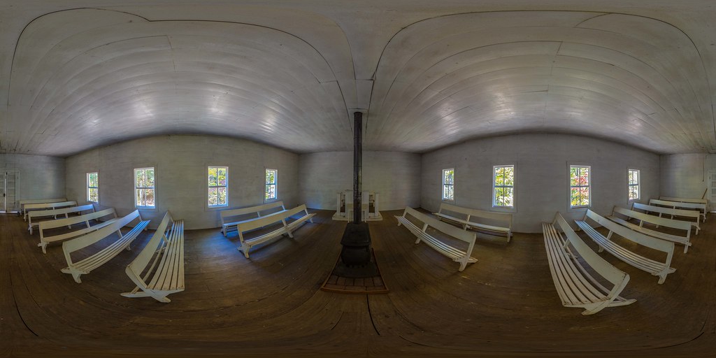
Little Cataloochee Baptist Church 1889 - open on PC for 360 view
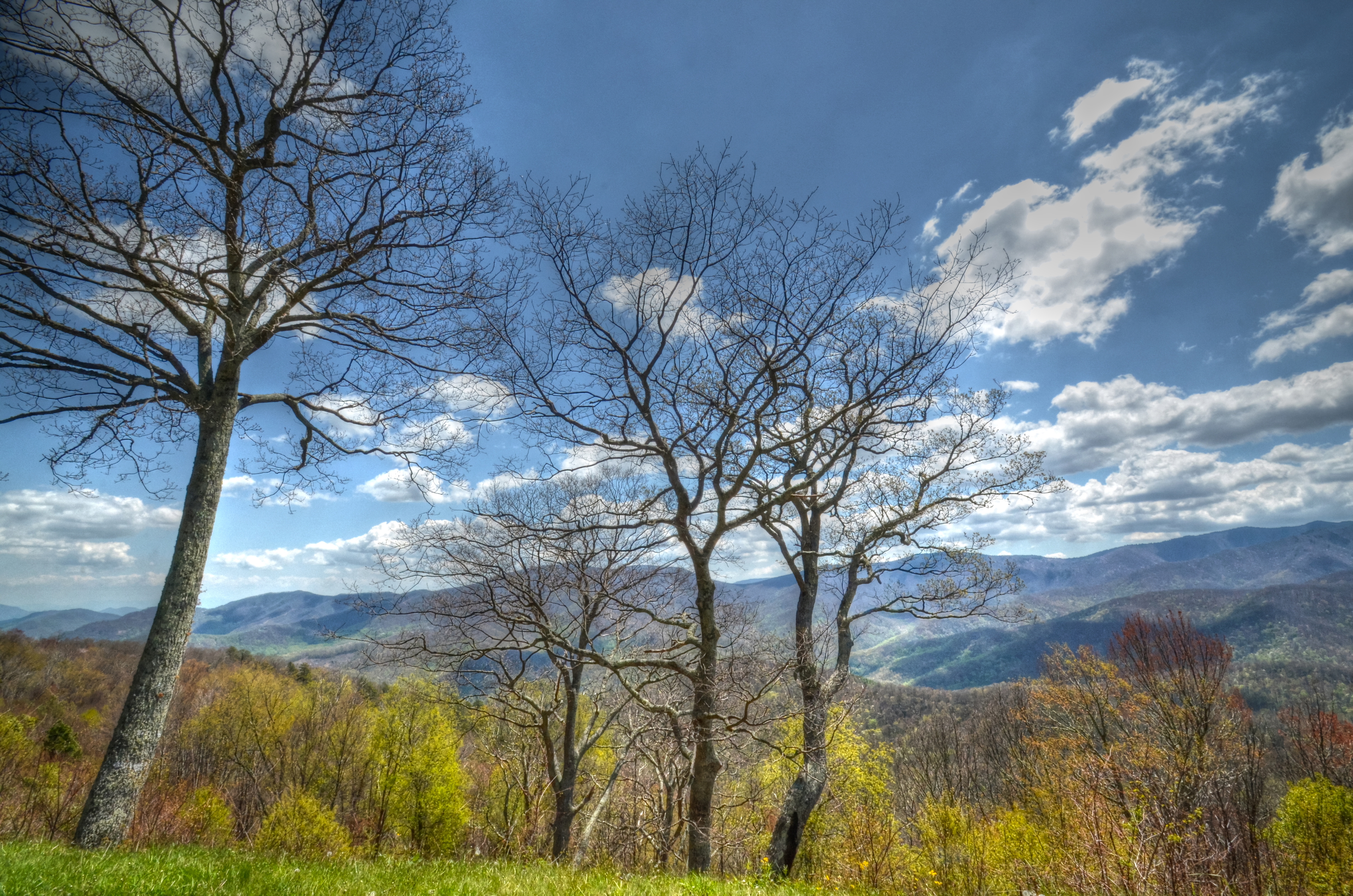
A High Trail.
"Smokey Bear" Overlook

Cataloochee Valley

2018 10-19 1516-93 BLU GP39-2-3945, 3940 E/B T-59, Waynesville, NC
Profile View
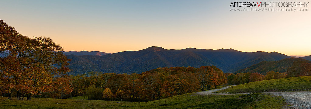
Maggie Valley, NC
from here to there

Cloud and Color
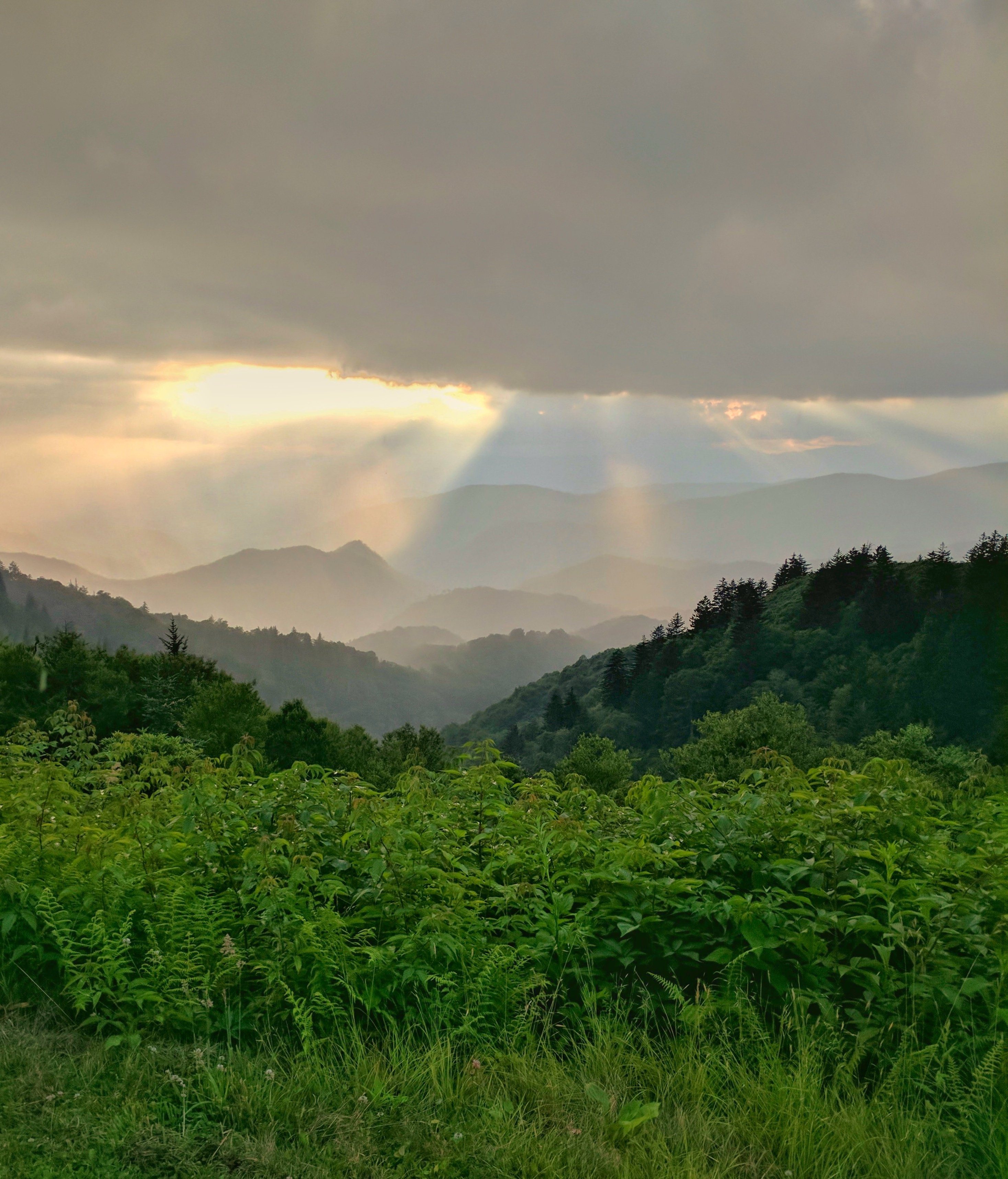
Sunlight Dancing On The Mountain's Edge
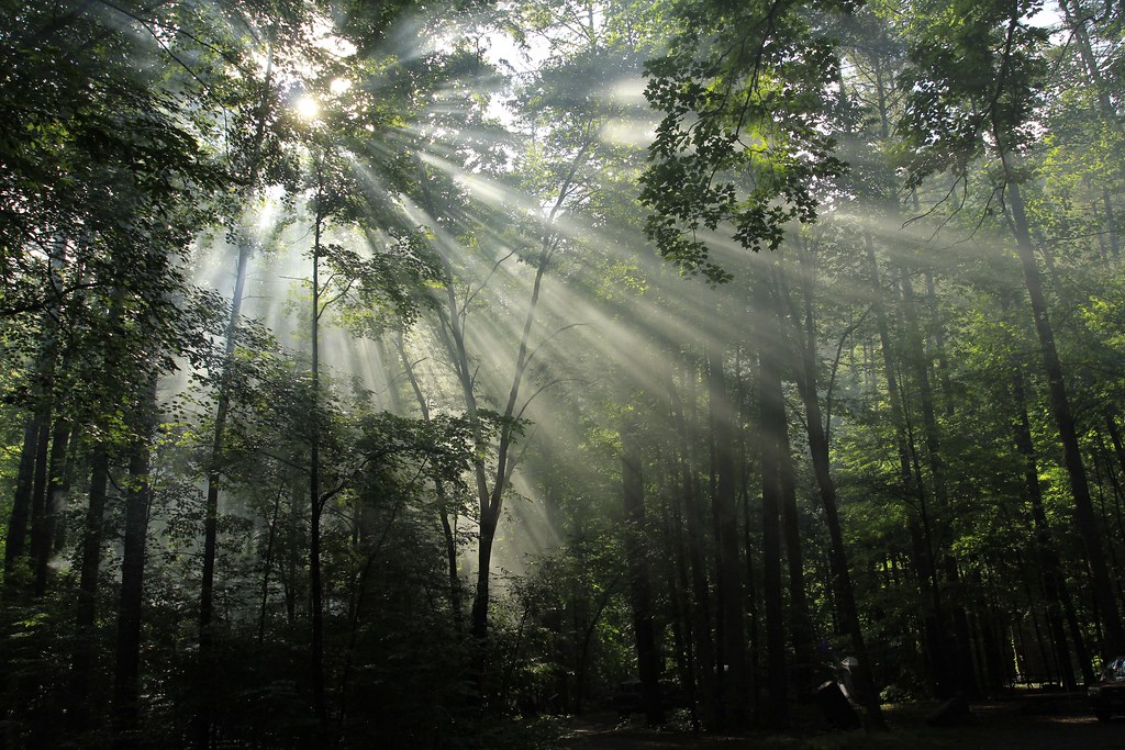
Sunlight in the Trees
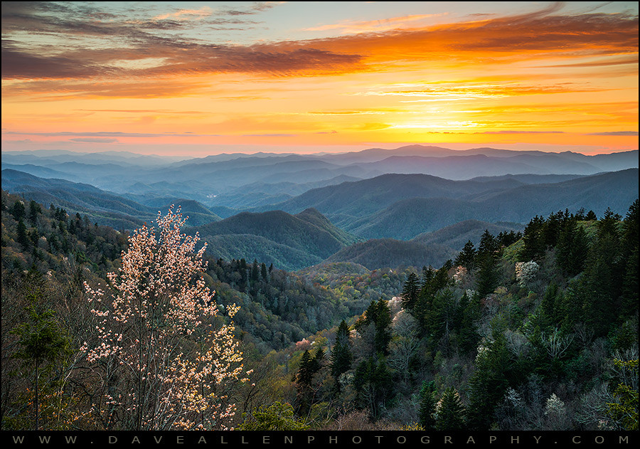
Sunset at Waterrock Knob - Explored
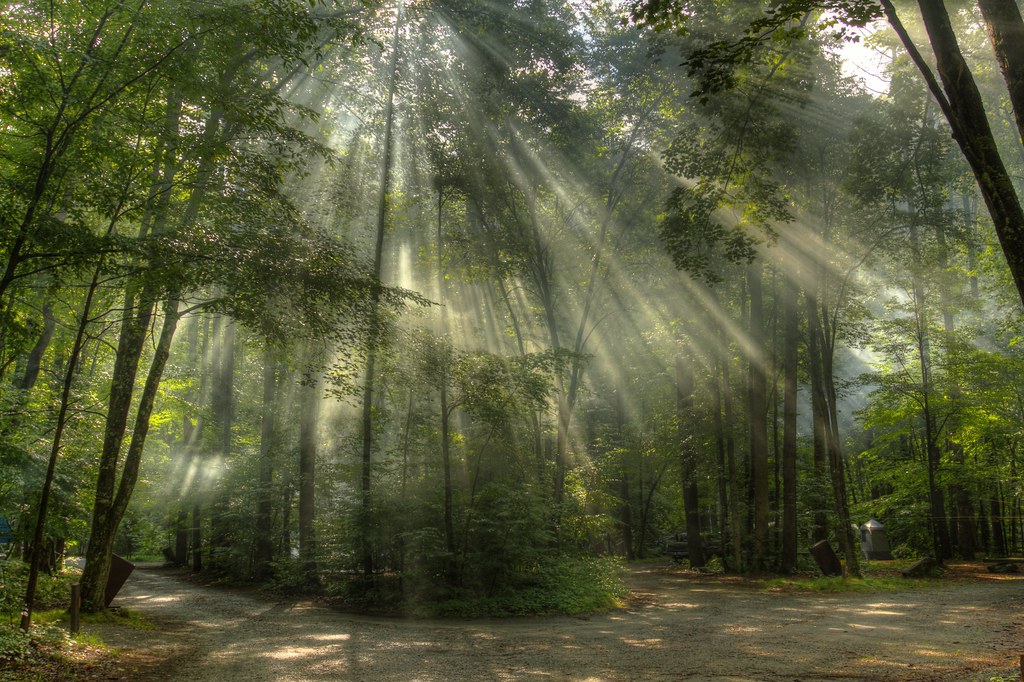
Light in the Forest
Maggie Valley NC
Spring in the Valleys

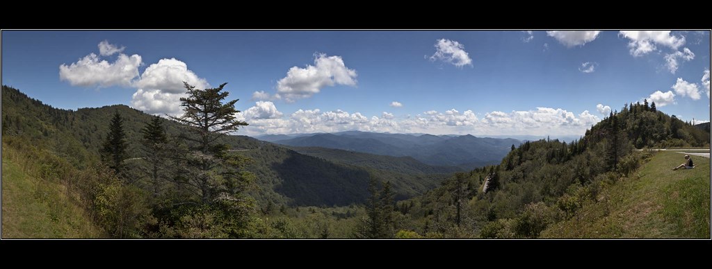
North Carolina - Blue Ridge Parkway
Near Maggie Valley, NC
These cell phone cameras are just too good! Blue Ridge Parkway

Mingo Falls
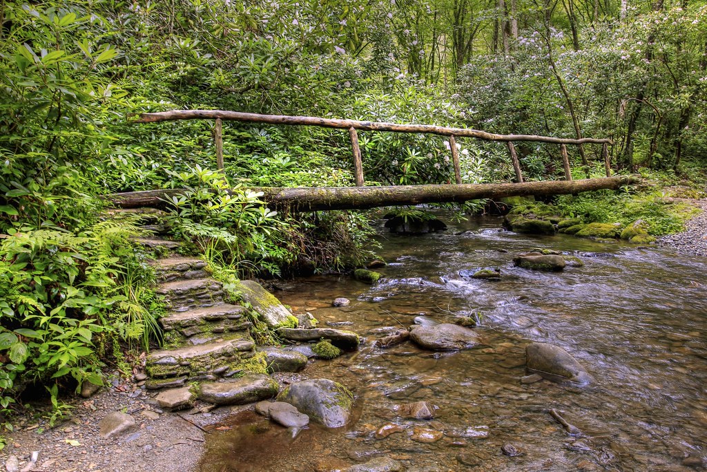
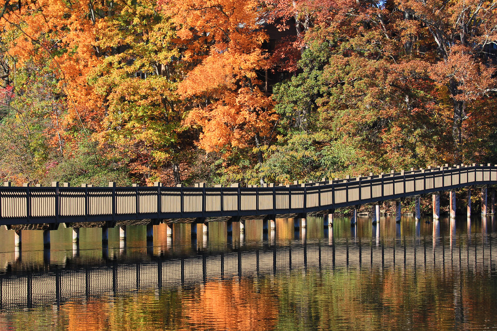
Bridge in the Woods

Mingo Falls

18.07 Smoky Mountain & Shenandoah Roadtrip
Waterrock Knob II
The Edge of Spring
Woodfin Valley - EOS_00870
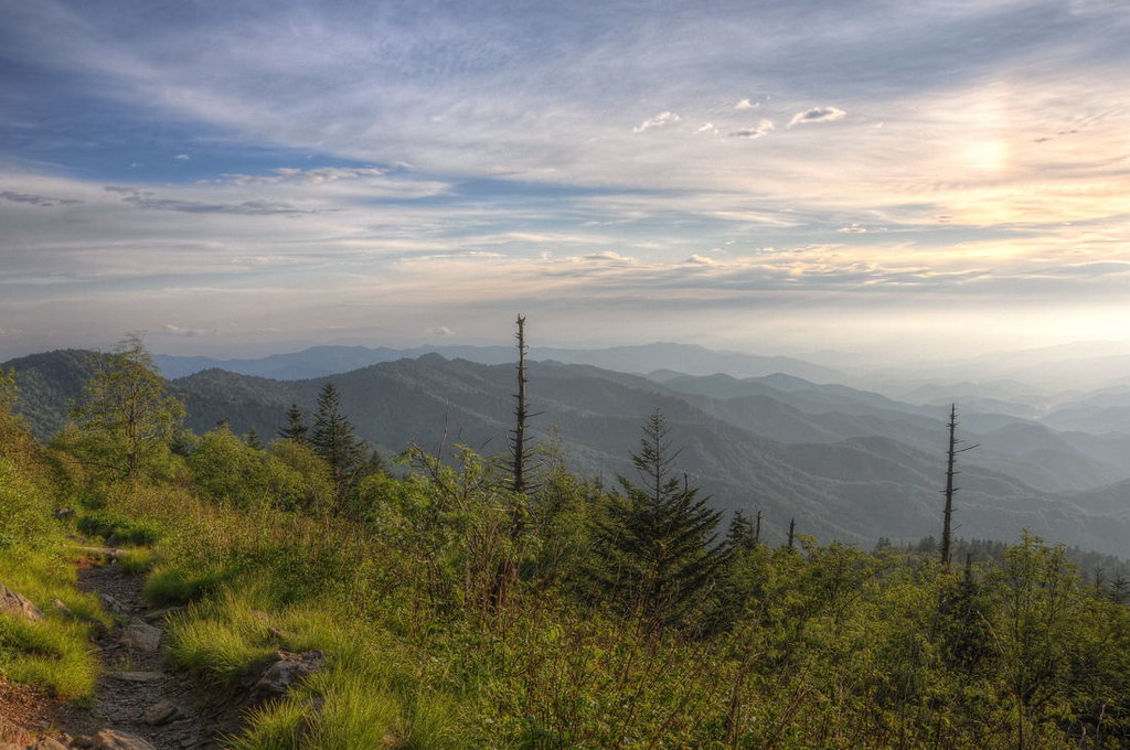
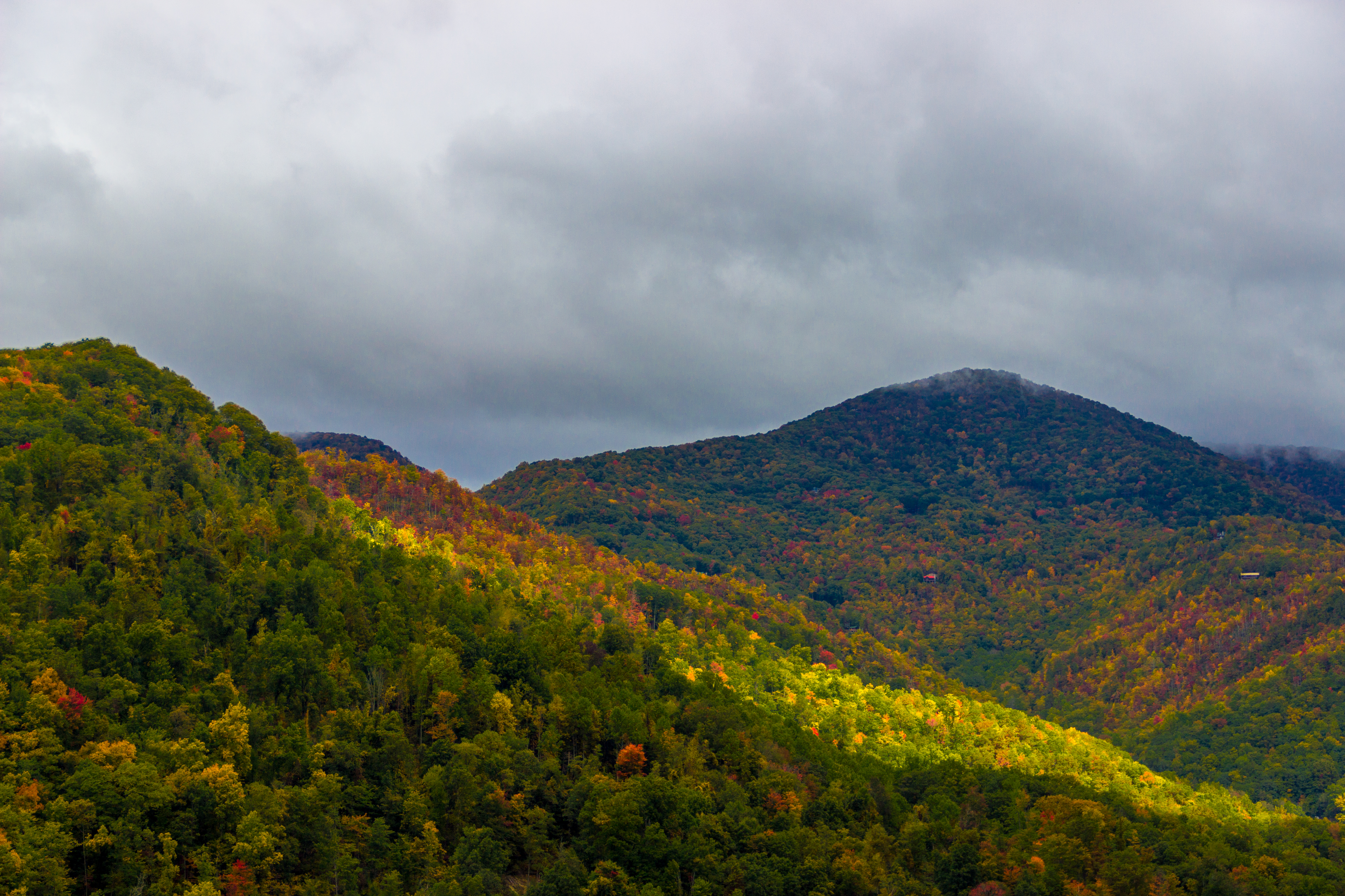
Great Smoky Mountains Landscape Photography
Topographic Map of Laurel Branch Road, Laurel Branch Rd, Ivy Hill, NC, USA
Find elevation by address:

Places near Laurel Branch Road, Laurel Branch Rd, Ivy Hill, NC, USA:
217 Laurel Branch Rd
31 Little Mountain Rd
238 Laurel Branch Rd
4894 Soco Rd
76 Hannah Hill Rd
101 Elm Dr
53 Southern Comfort Ln
5395 Soco Rd
812 Setzercove Rd
308 Emerald Ln
1426 Setzercove Rd
16 Fie Top Rd
210 Low Gap Rd
141 Split Rail Dr
135 Carpenter Branch Rd
34 Split Rail Dr
St Margaret's Catholic Church
21 Flint Ln
128 Aby Ln
49 Bonus Ct
Recent Searches:
- Elevation of W Granada St, Tampa, FL, USA
- Elevation of Pykes Down, Ivybridge PL21 0BY, UK
- Elevation of Jalan Senandin, Lutong, Miri, Sarawak, Malaysia
- Elevation of Bilohirs'k
- Elevation of 30 Oak Lawn Dr, Barkhamsted, CT, USA
- Elevation of Luther Road, Luther Rd, Auburn, CA, USA
- Elevation of Unnamed Road, Respublika Severnaya Osetiya — Alaniya, Russia
- Elevation of Verkhny Fiagdon, North Ossetia–Alania Republic, Russia
- Elevation of F. Viola Hiway, San Rafael, Bulacan, Philippines
- Elevation of Herbage Dr, Gulfport, MS, USA