Elevation of Lauenburg, Germany
Location: Germany > Schleswig-holstein > Herzogtum Lauenburg >
Longitude: 10.5496697
Latitude: 53.3762523
Elevation: 43m / 141feet
Barometric Pressure: 101KPa
Elevation Map:
Satellite Map:
Related Photos:
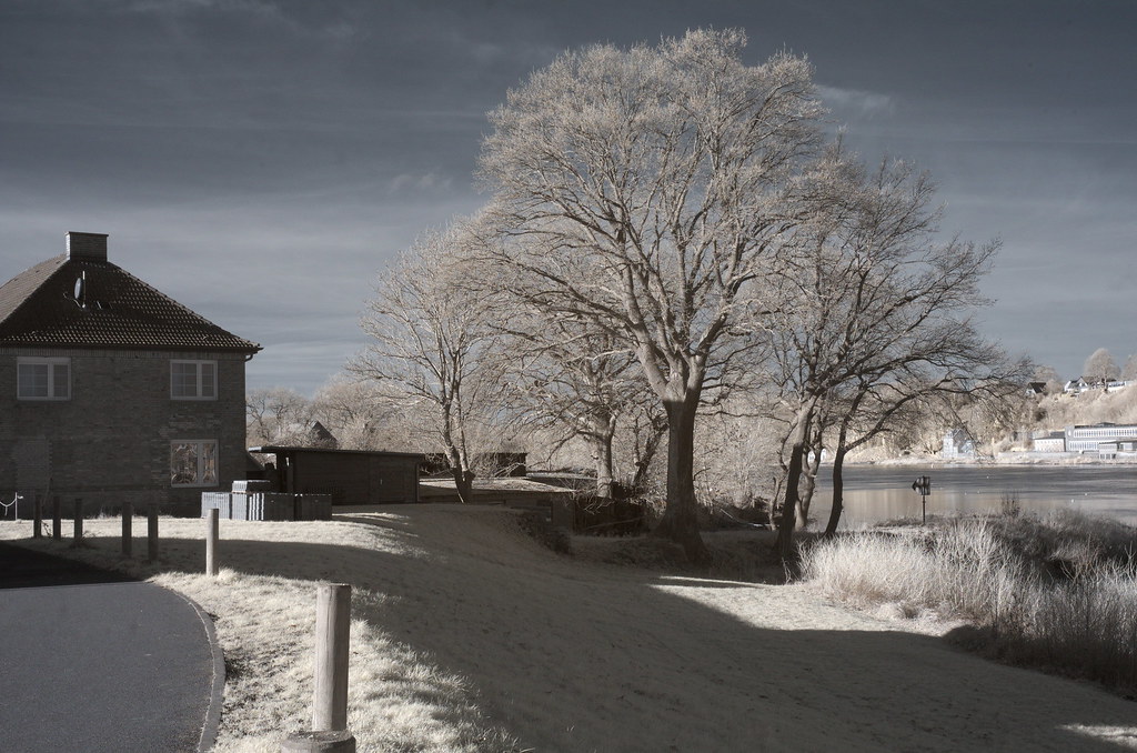
IR Infrarot Hohnstorf Elbe

IR Infrarot Lauenburg Askanierblick
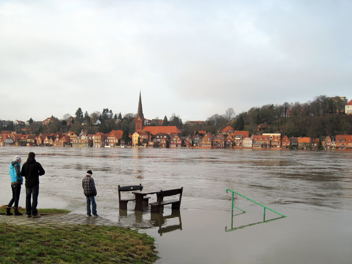
Hohnstorf - High water (Jan.11): View to Lauenburg
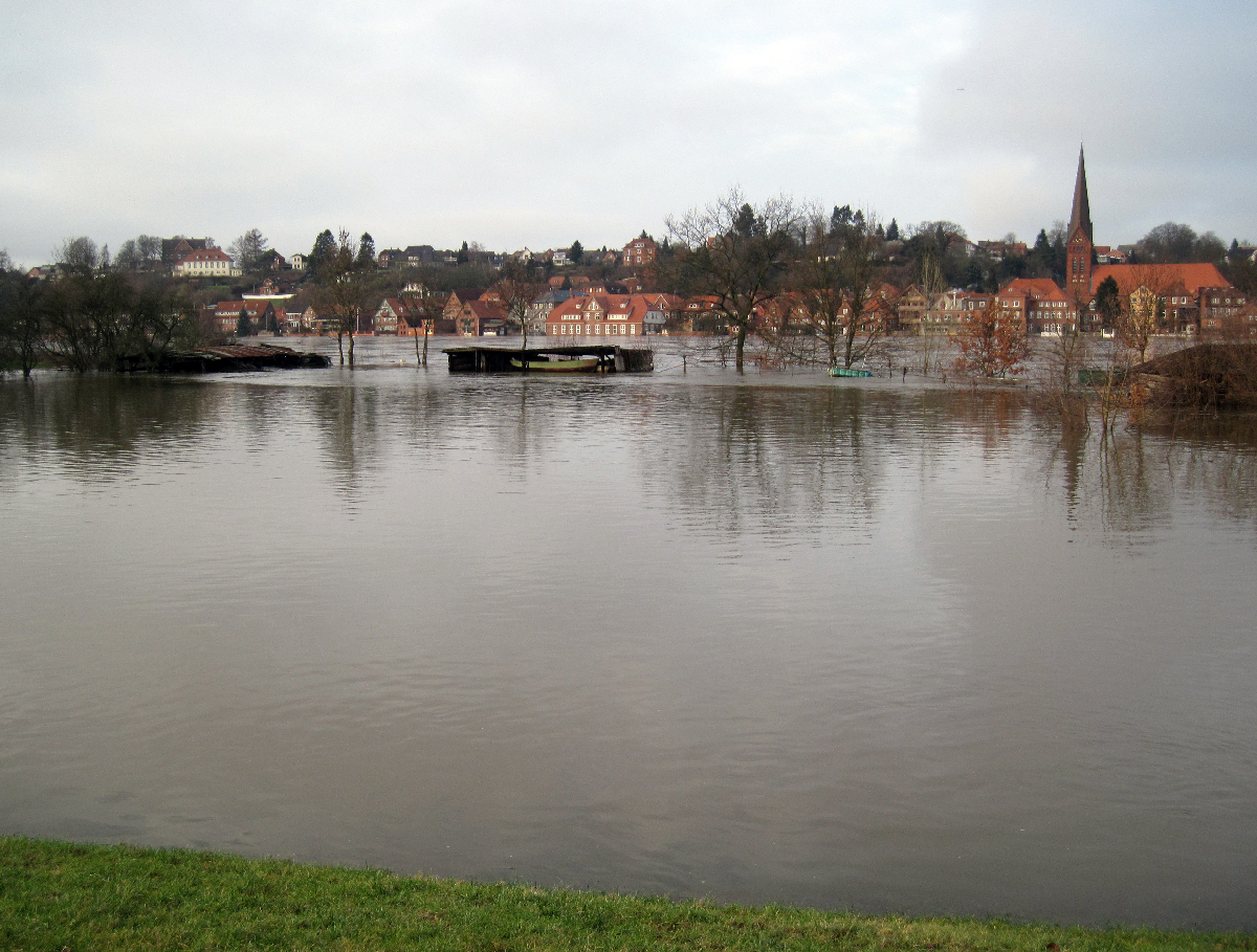
Hohnstorf - High water (Jan.11): View to Lauenburg
Topographic Map of Lauenburg, Germany
Find elevation by address:

Places near Lauenburg, Germany:
Lüdersburg
Jürgenstorf
An der Lust 1, Rullstorf, Germany
Ahrenschulter 3, Lüdersburg, Germany
Rullstorf
Neu Gülzow
Hittberger Str. 47, Bleckede, Germany
26a
Wendewisch
Neetze
Am Ressenberg 7, Neetze, Germany
Süttorf
Deichstraße 24, Bleckede, Germany
Brackede
Unnamed Road
In den Birken 8, Lüneburg, Germany
Hagen
Wedekindstraße 16, Lüneburg, Germany
Ludwig-Beck-Straße 62, Lüneburg, Germany
Zum Kirchpl. 8, Bleckede, Germany
Recent Searches:
- Elevation of Corso Fratelli Cairoli, 35, Macerata MC, Italy
- Elevation of Tallevast Rd, Sarasota, FL, USA
- Elevation of 4th St E, Sonoma, CA, USA
- Elevation of Black Hollow Rd, Pennsdale, PA, USA
- Elevation of Oakland Ave, Williamsport, PA, USA
- Elevation of Pedrógão Grande, Portugal
- Elevation of Klee Dr, Martinsburg, WV, USA
- Elevation of Via Roma, Pieranica CR, Italy
- Elevation of Tavkvetili Mountain, Georgia
- Elevation of Hartfords Bluff Cir, Mt Pleasant, SC, USA