Elevation of Latimer County, OK, USA
Location: United States > Oklahoma >
Longitude: -95.310250
Latitude: 34.835035
Elevation: 222m / 728feet
Barometric Pressure: 99KPa
Elevation Map:
Satellite Map:
Related Photos:

South Hill View (Wilburton, Oklahoma)
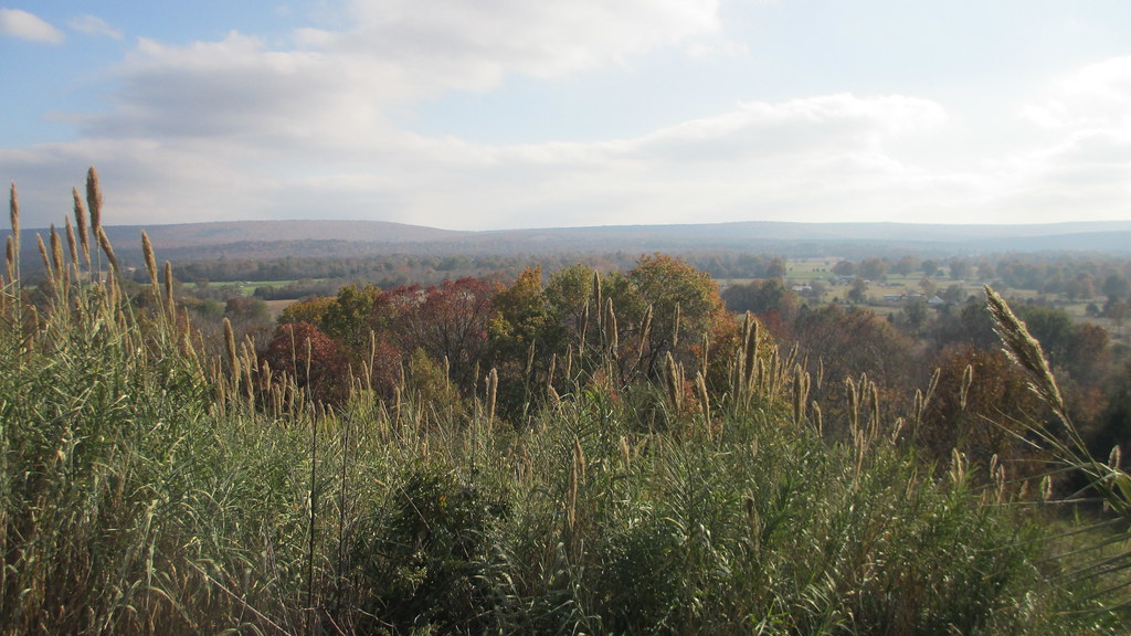
South Hill View (Wilburton, Oklahoma)

Old 270 Fourche Maline Side View
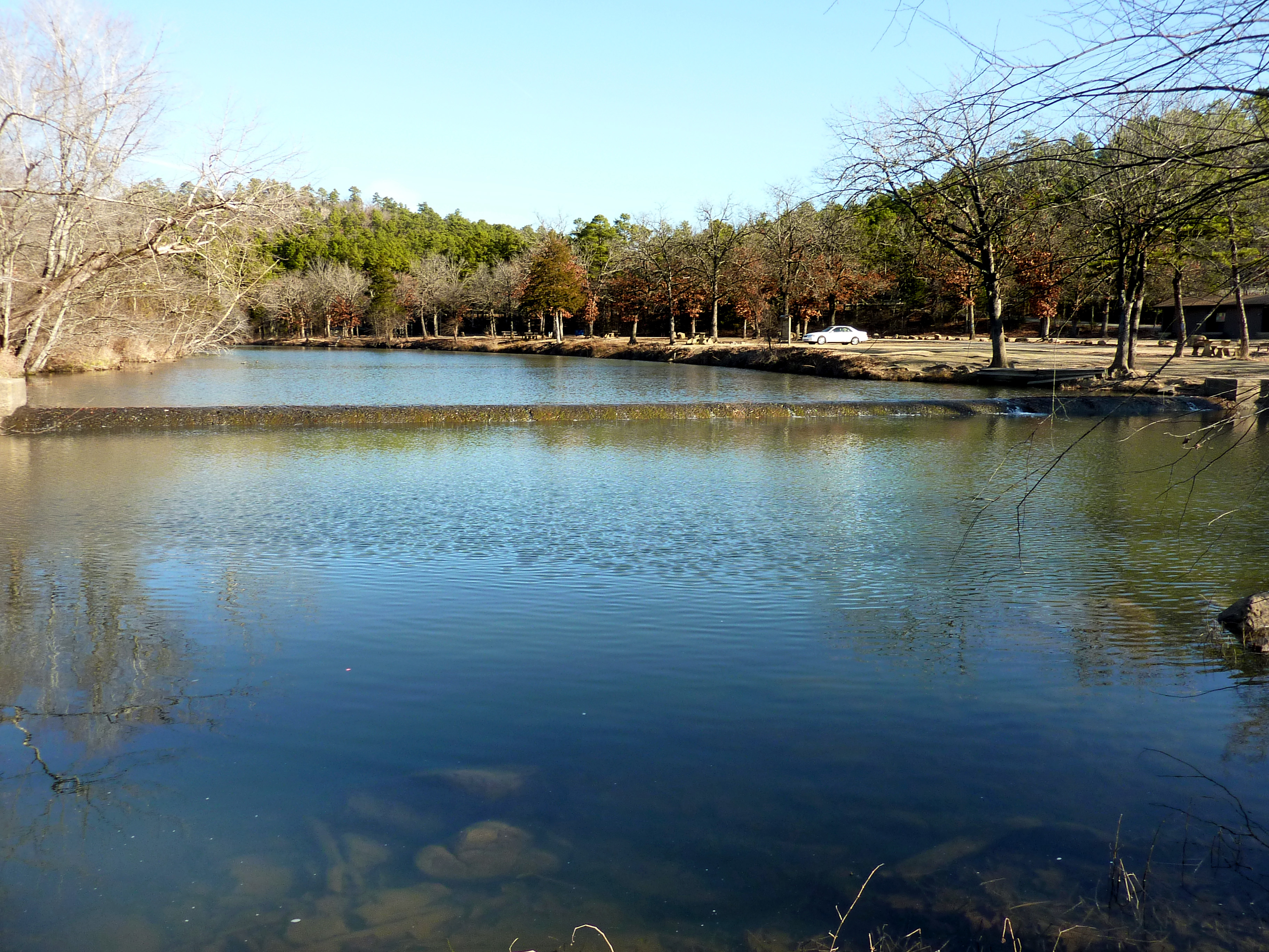
Deep Ford Campground
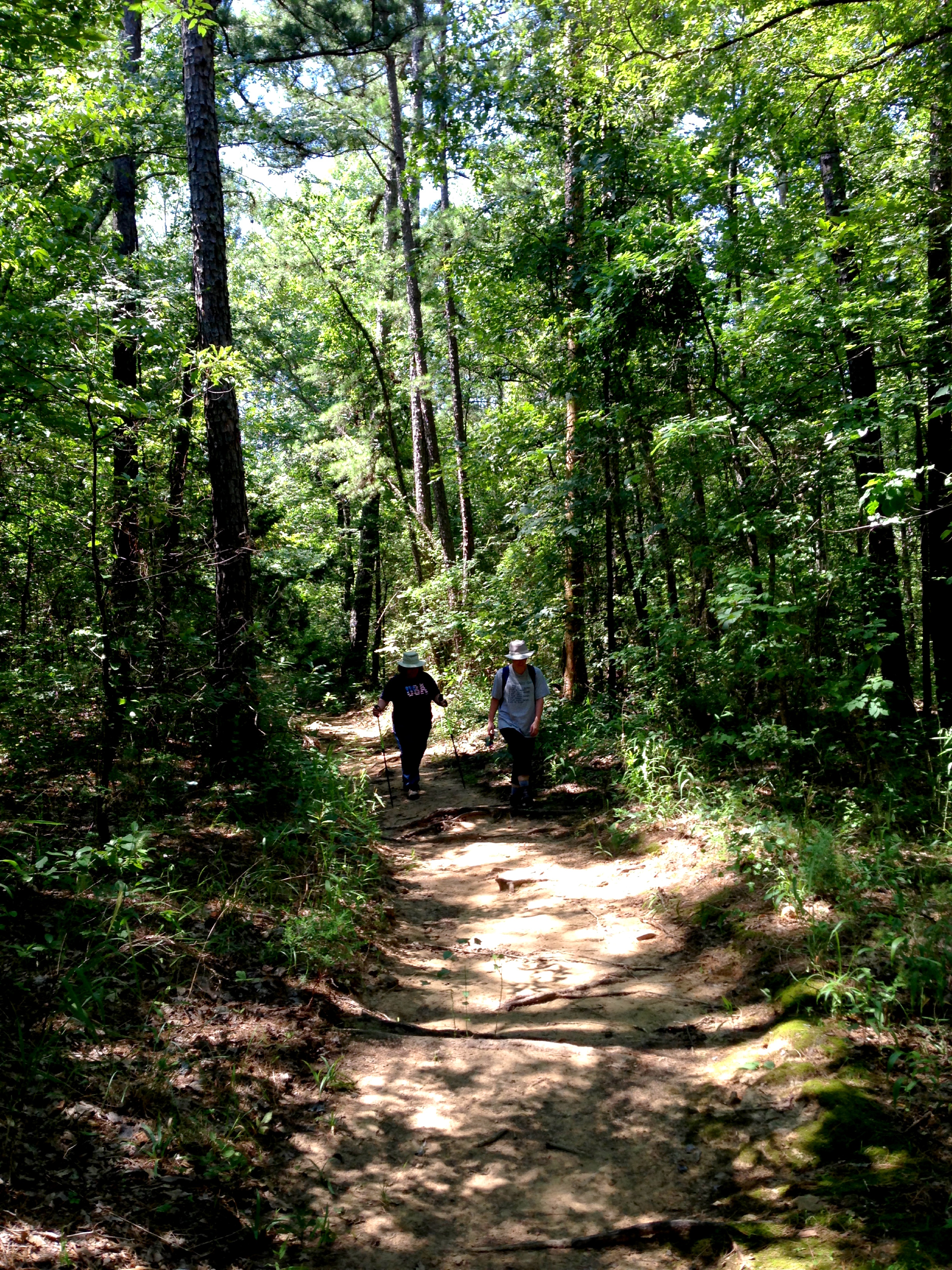
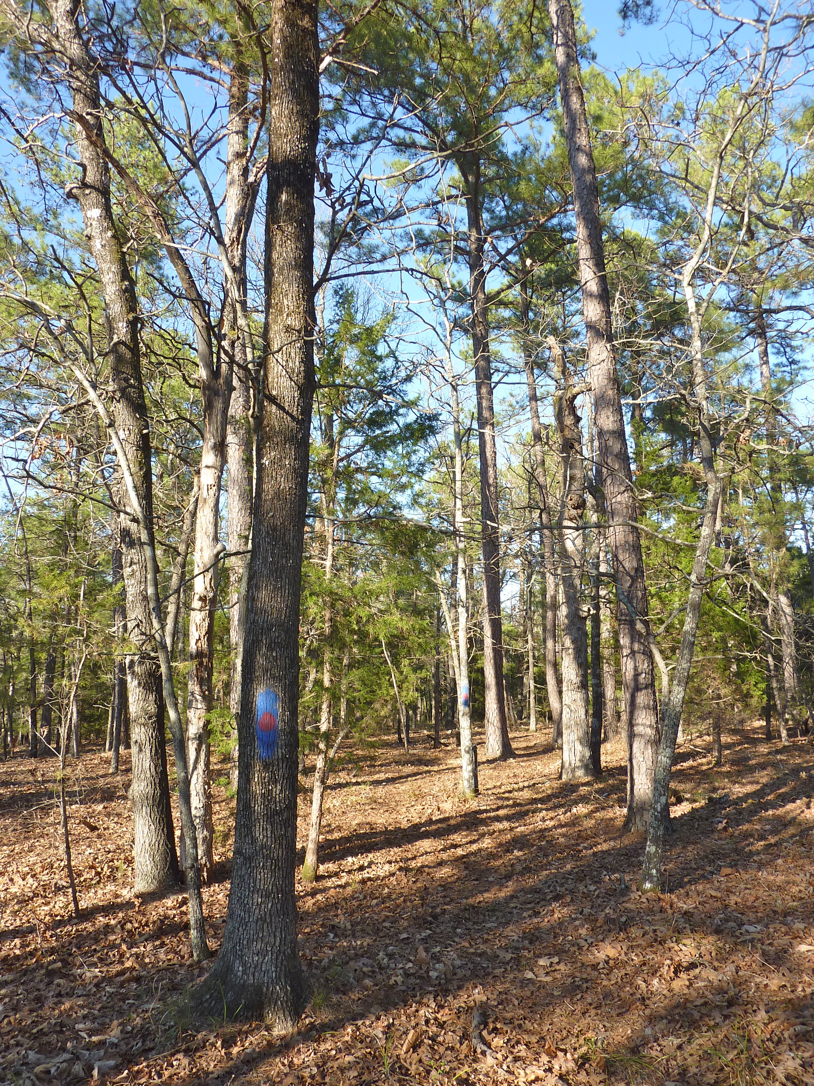
On the Mountain Trail
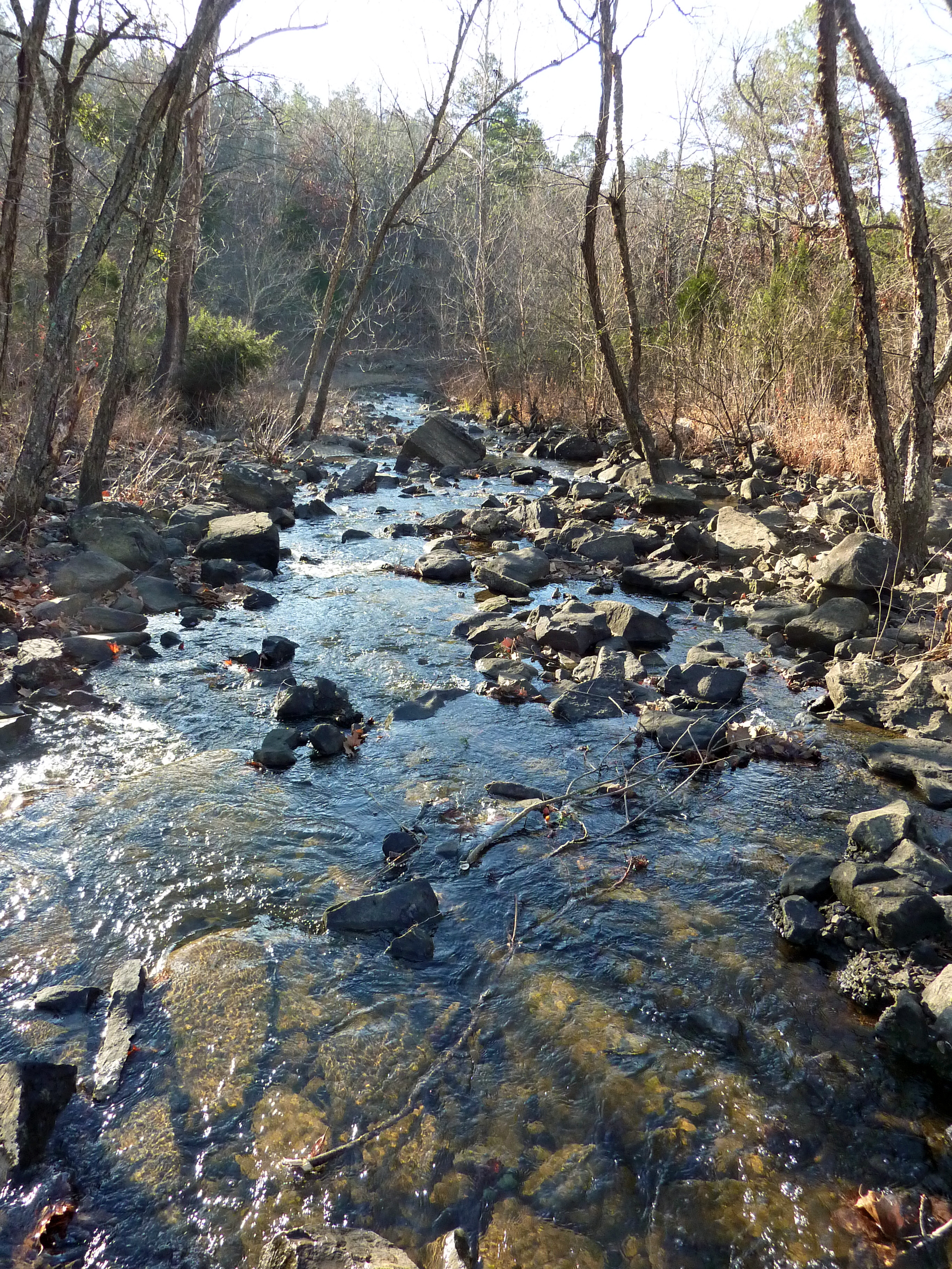
Fording Fourche Maline Creek

Mountain Trail Hiking
Multi-Use Trail Near Coon Creek Lake
Topographic Map of Latimer County, OK, USA
Find elevation by address:

Places in Latimer County, OK, USA:
Places near Latimer County, OK, USA:
1332 Sw Damon Valley Rd
Wilburton
206 W Ada Ave
Higgins Damon Valley Rd, Wilburton, OK, USA
Hugle Rd, Wilburton, OK, USA
Clayton
S Main St, Red Oak, OK, USA
Red Oak
Talihina
E Rd, Kinta, OK, USA
Kinta
Clayton Lake State Park
5507 Ok-82
5507 Ok-82
54042 Cut Off Rd
Pushmataha County
Whitesboro
Co Rd N, Wister, OK, USA
Hammon St, McCurtain, OK, USA
36549 Cline Rd
Recent Searches:
- Elevation of Corso Fratelli Cairoli, 35, Macerata MC, Italy
- Elevation of Tallevast Rd, Sarasota, FL, USA
- Elevation of 4th St E, Sonoma, CA, USA
- Elevation of Black Hollow Rd, Pennsdale, PA, USA
- Elevation of Oakland Ave, Williamsport, PA, USA
- Elevation of Pedrógão Grande, Portugal
- Elevation of Klee Dr, Martinsburg, WV, USA
- Elevation of Via Roma, Pieranica CR, Italy
- Elevation of Tavkvetili Mountain, Georgia
- Elevation of Hartfords Bluff Cir, Mt Pleasant, SC, USA