Elevation of Latham, KS, USA
Location: United States > Kansas > Butler County > Union >
Longitude: -96.641965
Latitude: 37.5361329
Elevation: 448m / 1470feet
Barometric Pressure: 96KPa
Elevation Map:
Satellite Map:
Related Photos:

Latham Bridge #1 HDR 00

Latham Bridge #2 HDR 00
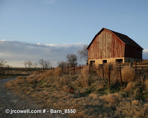
Barn in Cowley County, Kansas

Curious Bovine

Barbed Wire Fence

Wind Mills Near Beaumont

Rain's a-coming

Heaven's in Turmoil

Wind Mills Near Beaumont

Wind Mills Near Beaumont

close up of bridge

Wind Mills Near Beaumont

Wind Mills Near Beaumont

Wind Mills Near Beaumont
Topographic Map of Latham, KS, USA
Find elevation by address:

Places in Latham, KS, USA:
Places near Latham, KS, USA:
Cherry St, Latham, KS, USA
Union
th Rd, Cambridge, KS, USA
Harvey
275th Road
Glencoe
Beaumont Hotel
SE Main St, Beaumont, KS, USA
Beaumont
Log Cabin
Little Walnut
rd Rd, Cambridge, KS, USA
Leon
N Olive St, Leon, KS, USA
Windsor
Cedar St, Cambridge, KS, USA
Cambridge
SW th St, Leon, KS, USA
Silver Creek
Otter Creek
Recent Searches:
- Elevation of W Granada St, Tampa, FL, USA
- Elevation of Pykes Down, Ivybridge PL21 0BY, UK
- Elevation of Jalan Senandin, Lutong, Miri, Sarawak, Malaysia
- Elevation of Bilohirs'k
- Elevation of 30 Oak Lawn Dr, Barkhamsted, CT, USA
- Elevation of Luther Road, Luther Rd, Auburn, CA, USA
- Elevation of Unnamed Road, Respublika Severnaya Osetiya — Alaniya, Russia
- Elevation of Verkhny Fiagdon, North Ossetia–Alania Republic, Russia
- Elevation of F. Viola Hiway, San Rafael, Bulacan, Philippines
- Elevation of Herbage Dr, Gulfport, MS, USA