Elevation of Lassiter Rd, Maysville, NC, USA
Location: United States > North Carolina > Onslow County > White Oak > Maysville >
Longitude: -77.268559
Latitude: 34.9006732
Elevation: -10000m / -32808feet
Barometric Pressure: 295KPa
Elevation Map:
Satellite Map:
Related Photos:

M1511 Left Side View

To Every Purpose

Hurricane Relief 2017

Hurricane Relief 2017
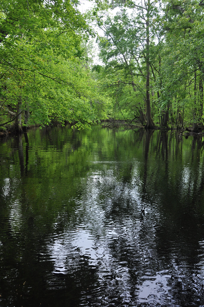
Creek flowing into Trent River

Creek flowing into Trent River
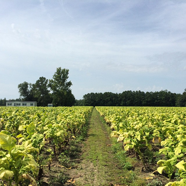
Tobacco Road

Strawberries Fields Forever

Road closed

Jacksonville, North Carolina

Hurricane Relief 2017
Topographic Map of Lassiter Rd, Maysville, NC, USA
Find elevation by address:

Places near Lassiter Rd, Maysville, NC, USA:
Maysville
506 Mattocks Ave
Belgrade Rd, Maysville, NC, USA
1472 Deppe Loop Rd
1190 Deppe Loop Rd
2636 Belgrade-swansboro Rd
US-17, Pollocksville, NC, USA
Riggs Rd, Maysville, NC, USA
192 Riggs Dr
470 Riggs Ln
1736 Riggs Rd
1439 Davis Field Rd
225 Piney Grove Rd
2, Pollocksville
Belgrade-Swansboro Rd, Maysville, NC, USA
300 Trent St
310 2nd St
Pollocksville
406 Foy St
2852 North Carolina Hwy 58
Recent Searches:
- Elevation of Steadfast Ct, Daphne, AL, USA
- Elevation of Lagasgasan, X+CQH, Tiaong, Quezon, Philippines
- Elevation of Rojo Ct, Atascadero, CA, USA
- Elevation of Flagstaff Drive, Flagstaff Dr, North Carolina, USA
- Elevation of Avery Ln, Lakeland, FL, USA
- Elevation of Woolwine, VA, USA
- Elevation of Lumagwas Diversified Farmers Multi-Purpose Cooperative, Lumagwas, Adtuyon, RV32+MH7, Pangantucan, Bukidnon, Philippines
- Elevation of Homestead Ridge, New Braunfels, TX, USA
- Elevation of Orchard Road, Orchard Rd, Marlborough, NY, USA
- Elevation of 12 Hutchinson Woods Dr, Fletcher, NC, USA