Elevation of Lanier Ave, Rocky Point, NC, USA
Location: United States > North Carolina > Pender County > Rocky Point > Rocky Point >
Longitude: -77.890929
Latitude: 34.455835
Elevation: 16m / 52feet
Barometric Pressure: 101KPa
Elevation Map:
Satellite Map:
Related Photos:

The Swamp
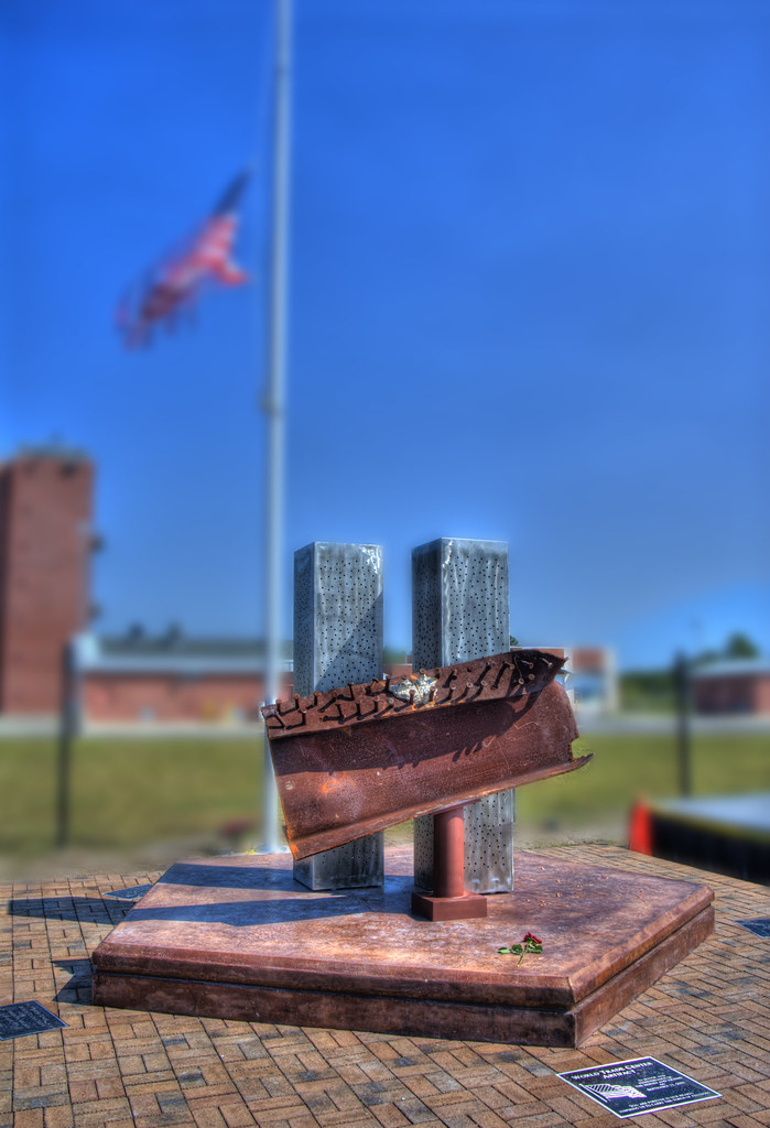
002/365 - Never Forget September 11, 2001
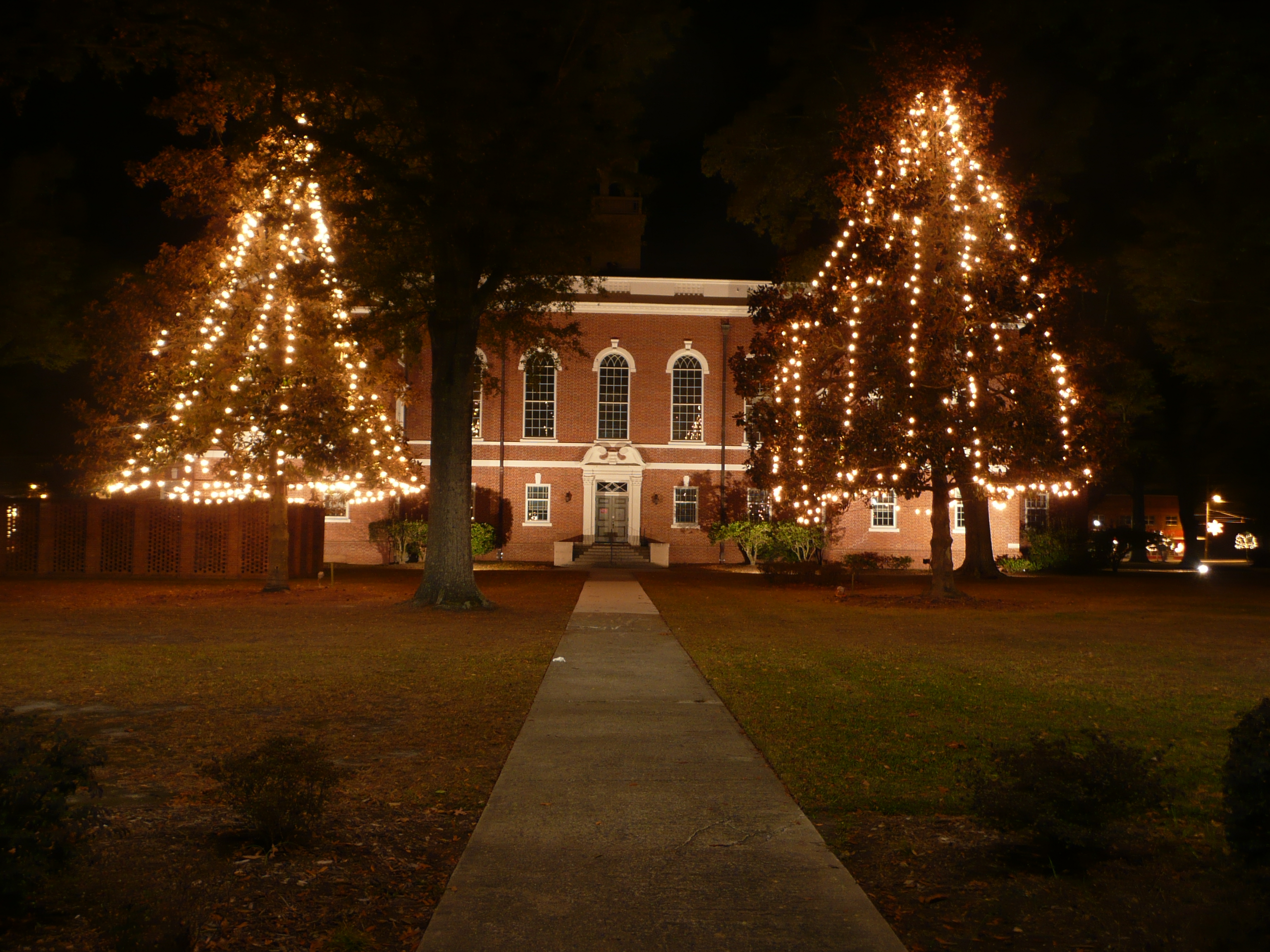
Pender Cnty Cthouse-W view

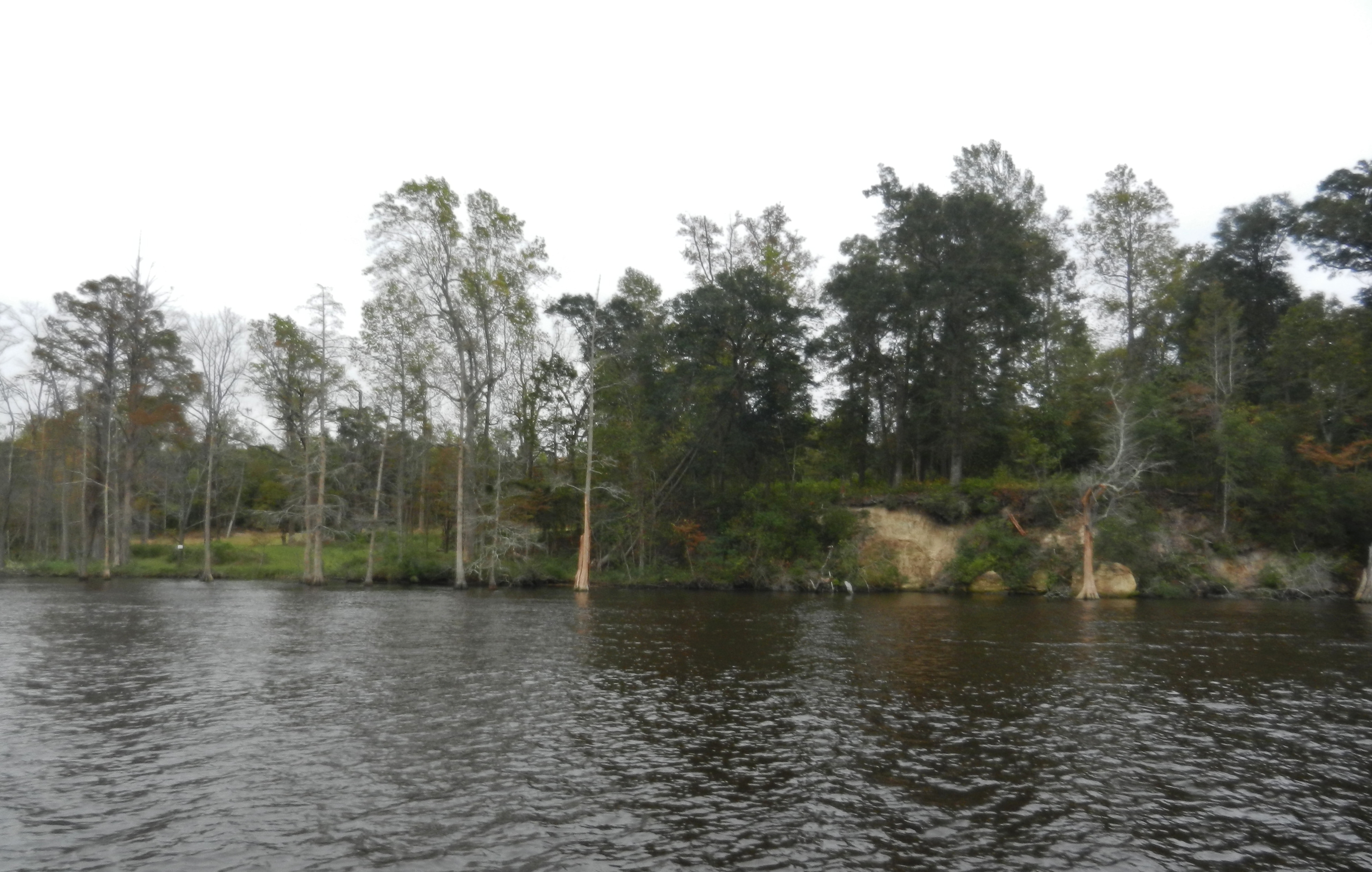
Swamp Reflections
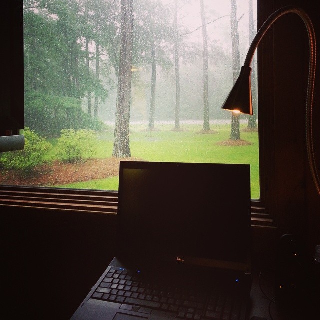
My view of Hurricane Arthur from my desk at work

Pender Cnty Cthouse-S view
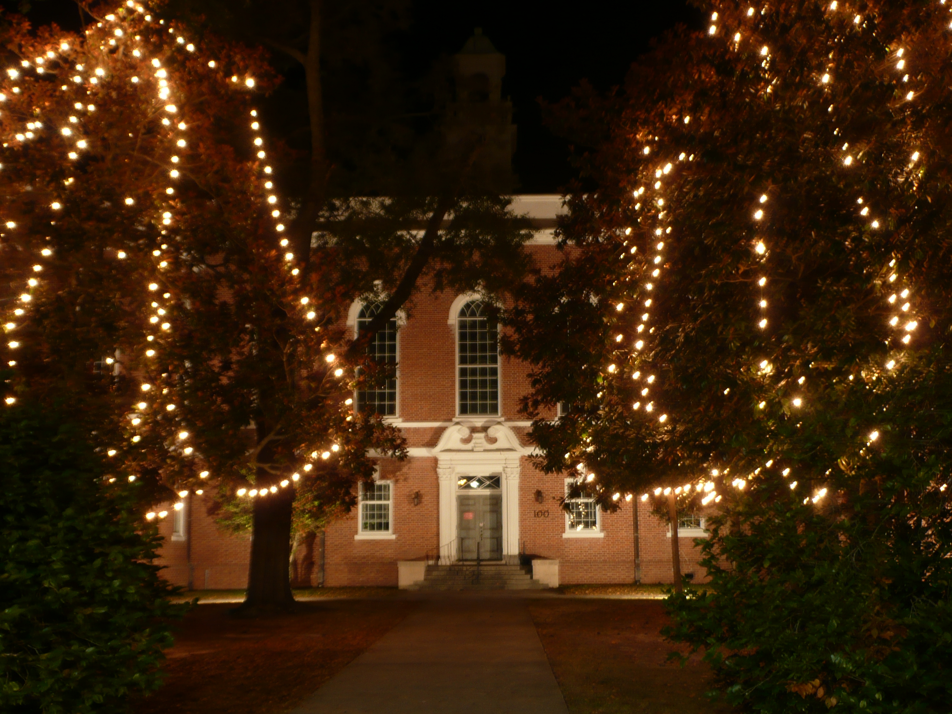
Pender Cnty cthouse-w view 2

Reflections of a swamp
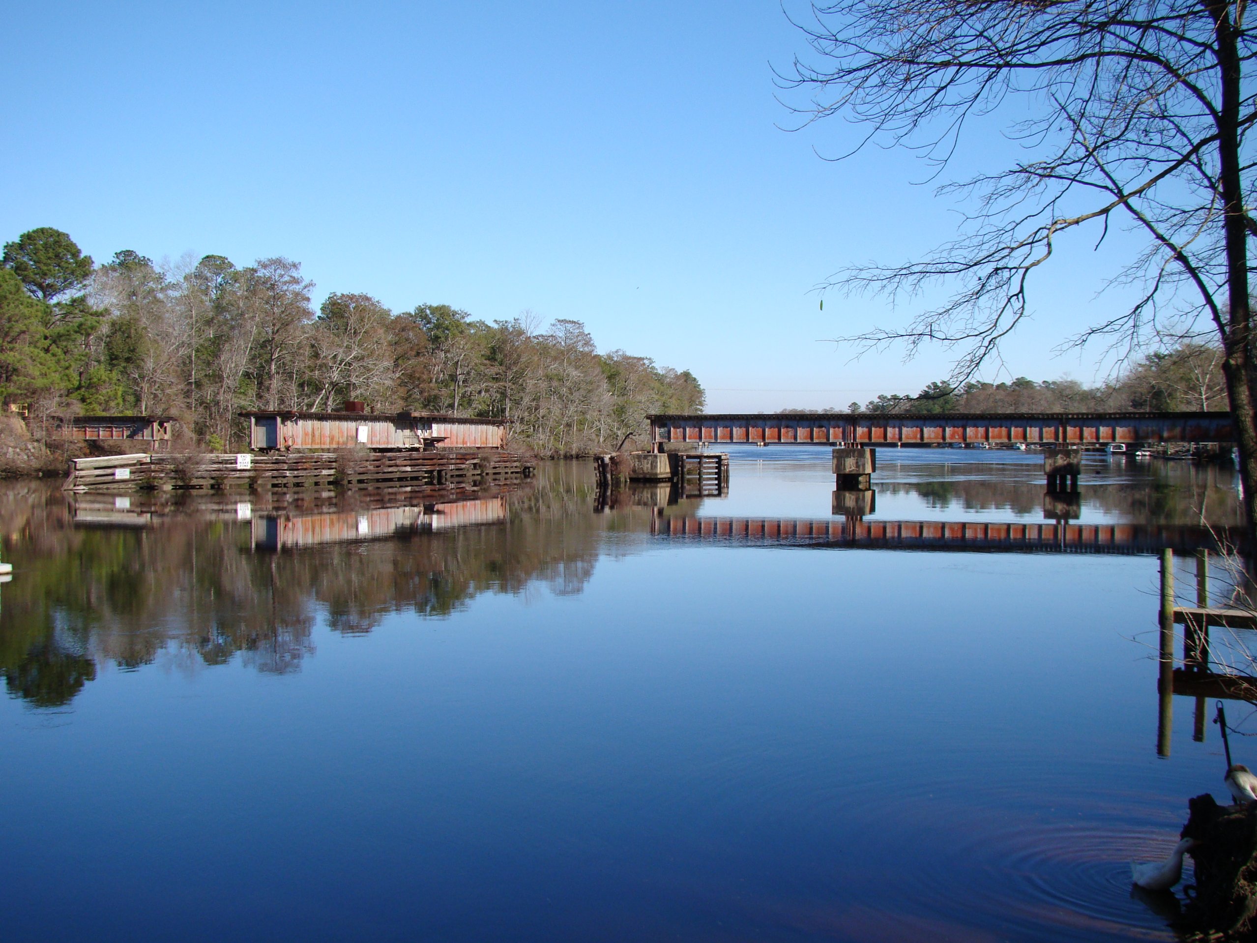
ACL Swing Bridge over the NE Cape Fear
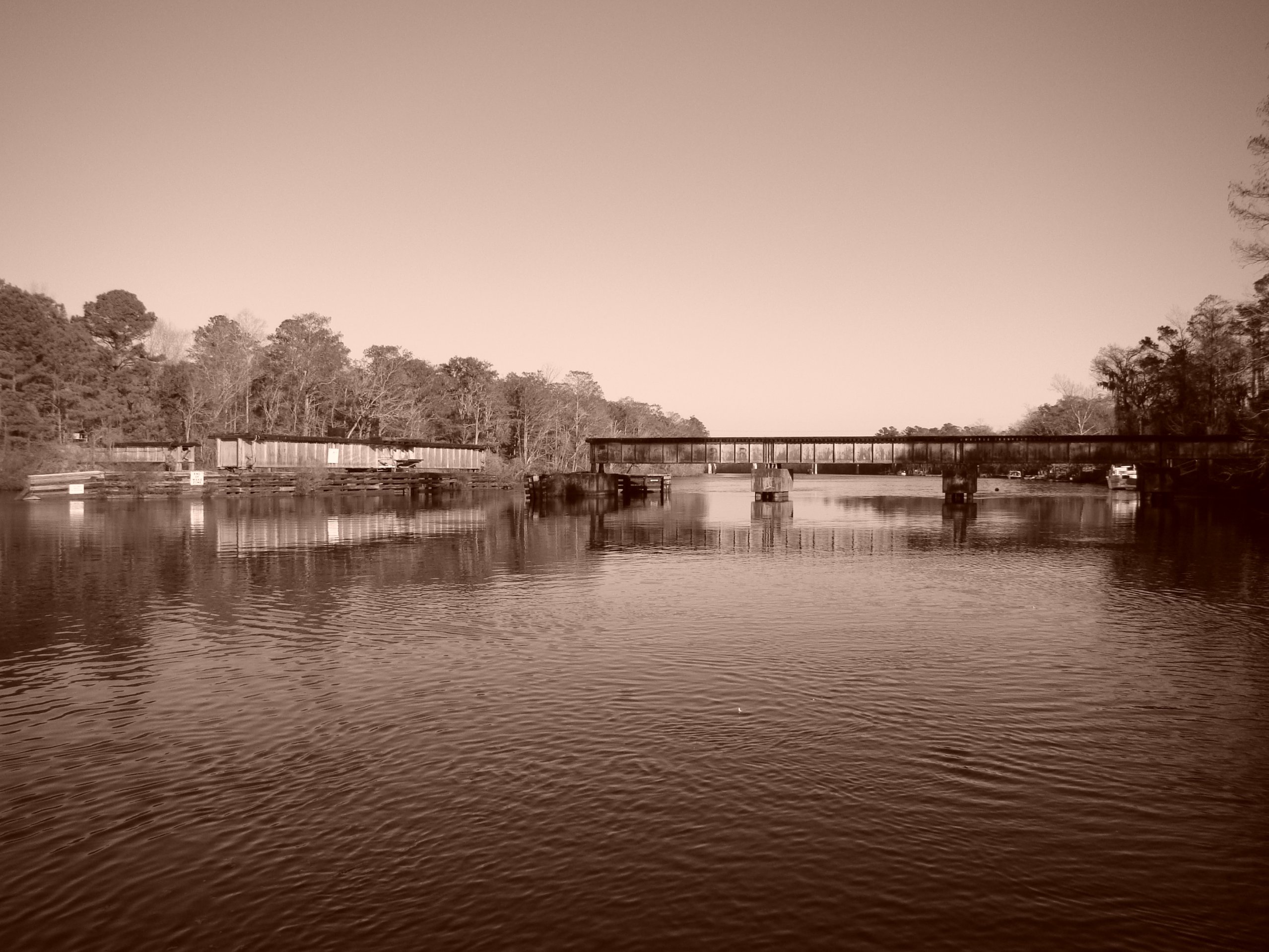
ACL Swing Bridge over the NE Cape Fear, in sepia
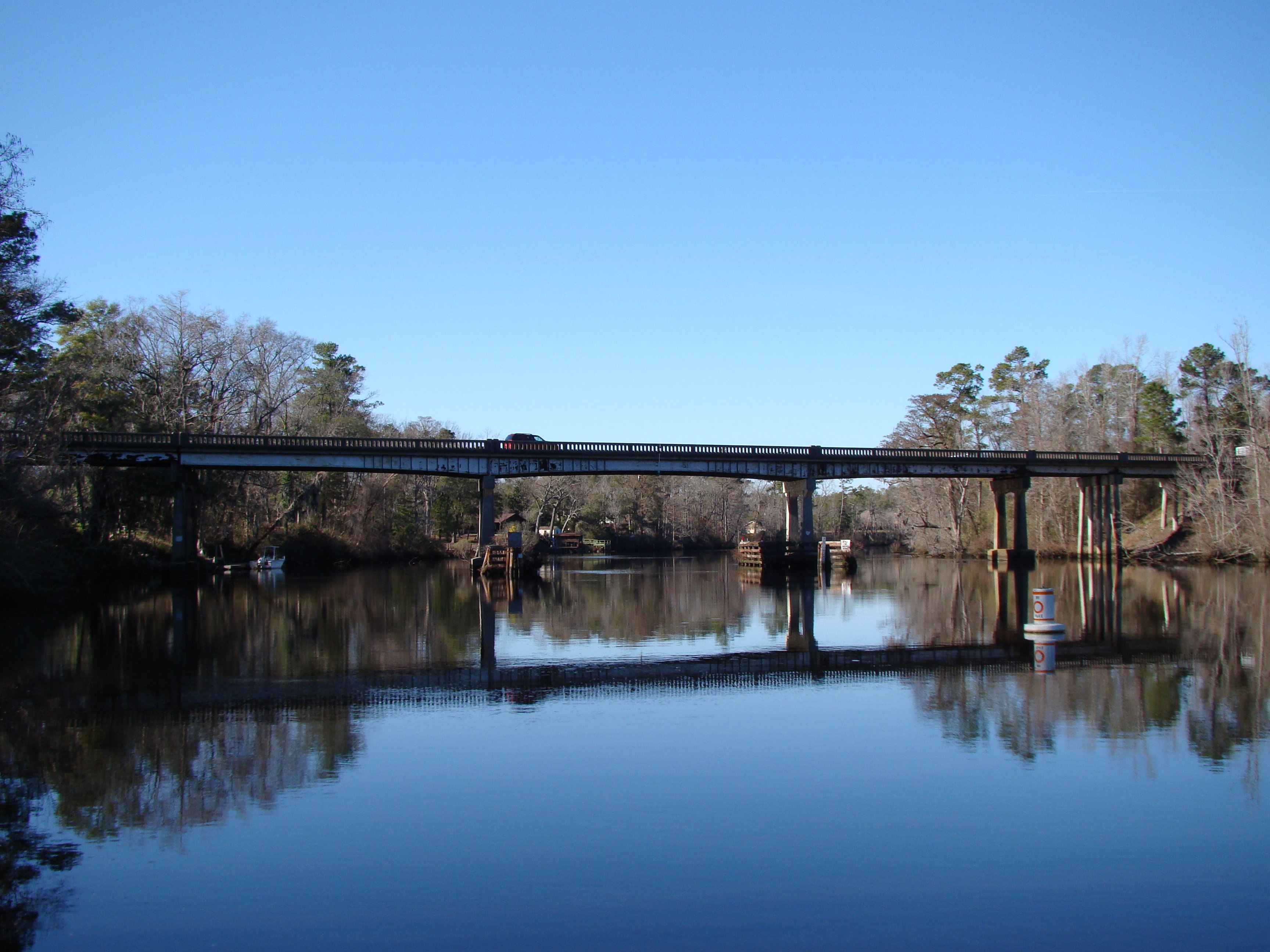
US 117/NC 133 NE Cape Fear Bridge
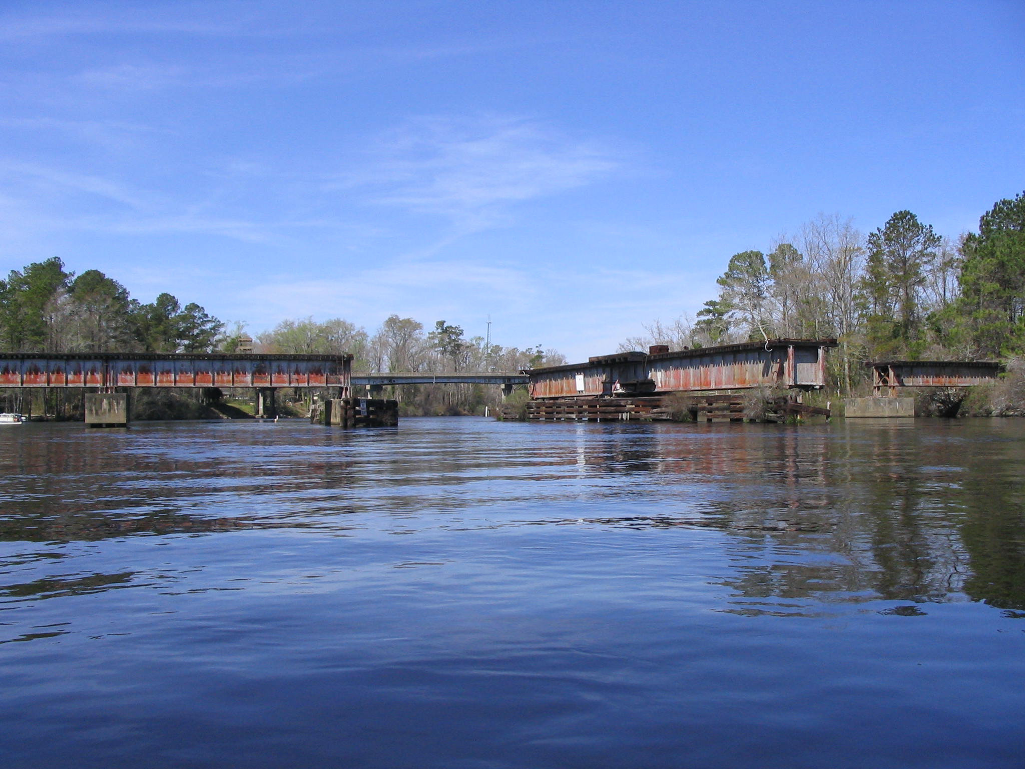
Northeast Cape Fear Railroad Swing Bridge
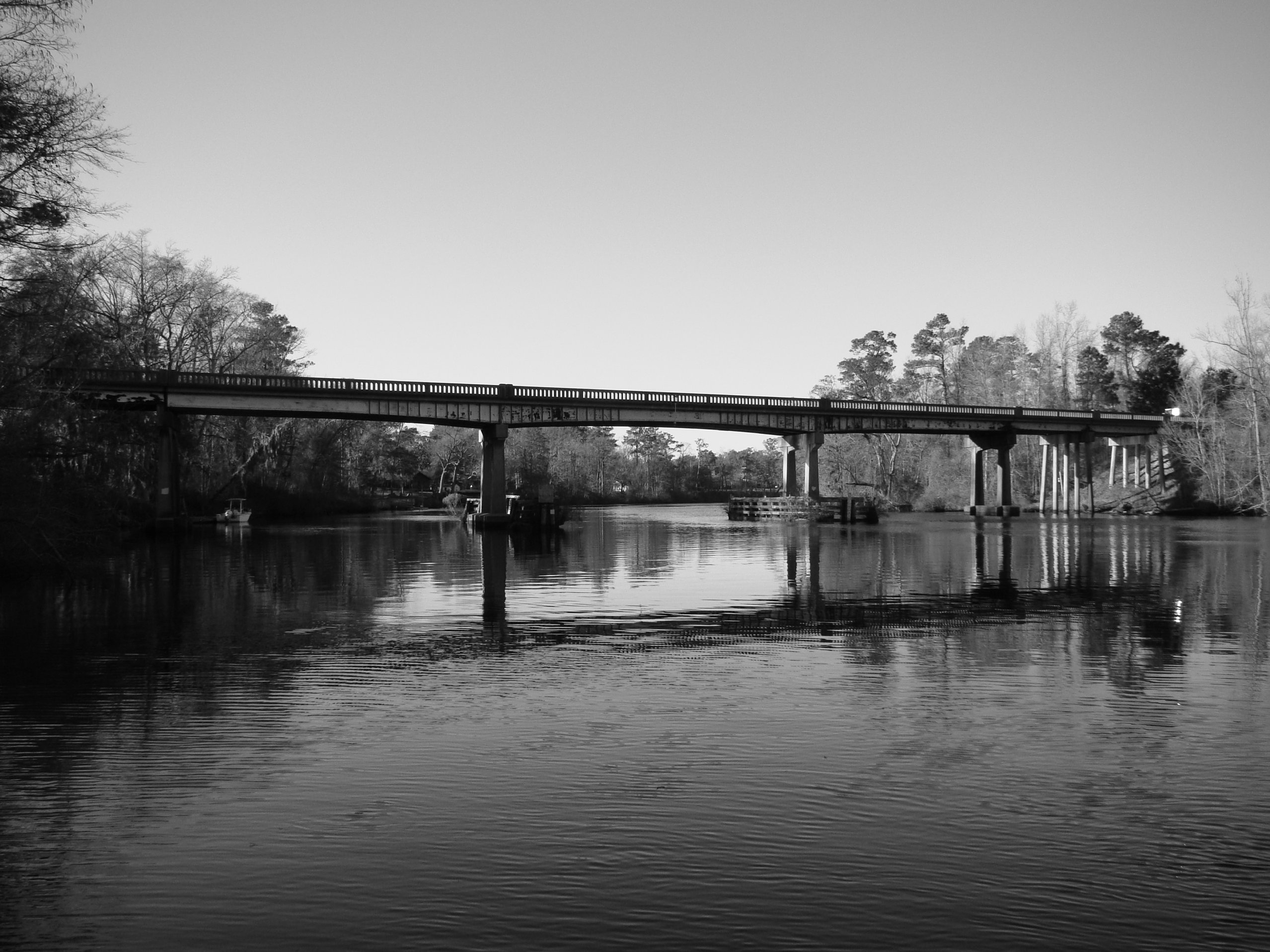
US 117/NC 133 NE Cape Fear Bridge, in B&W
Bluff Edge
WhiteWhite Horse Farm - 05/18/2013 - Adam Horse Farm - 05/18/2013 - El

Longleaf milkweed

McLean savanna

McLean savanna

McLean savanna
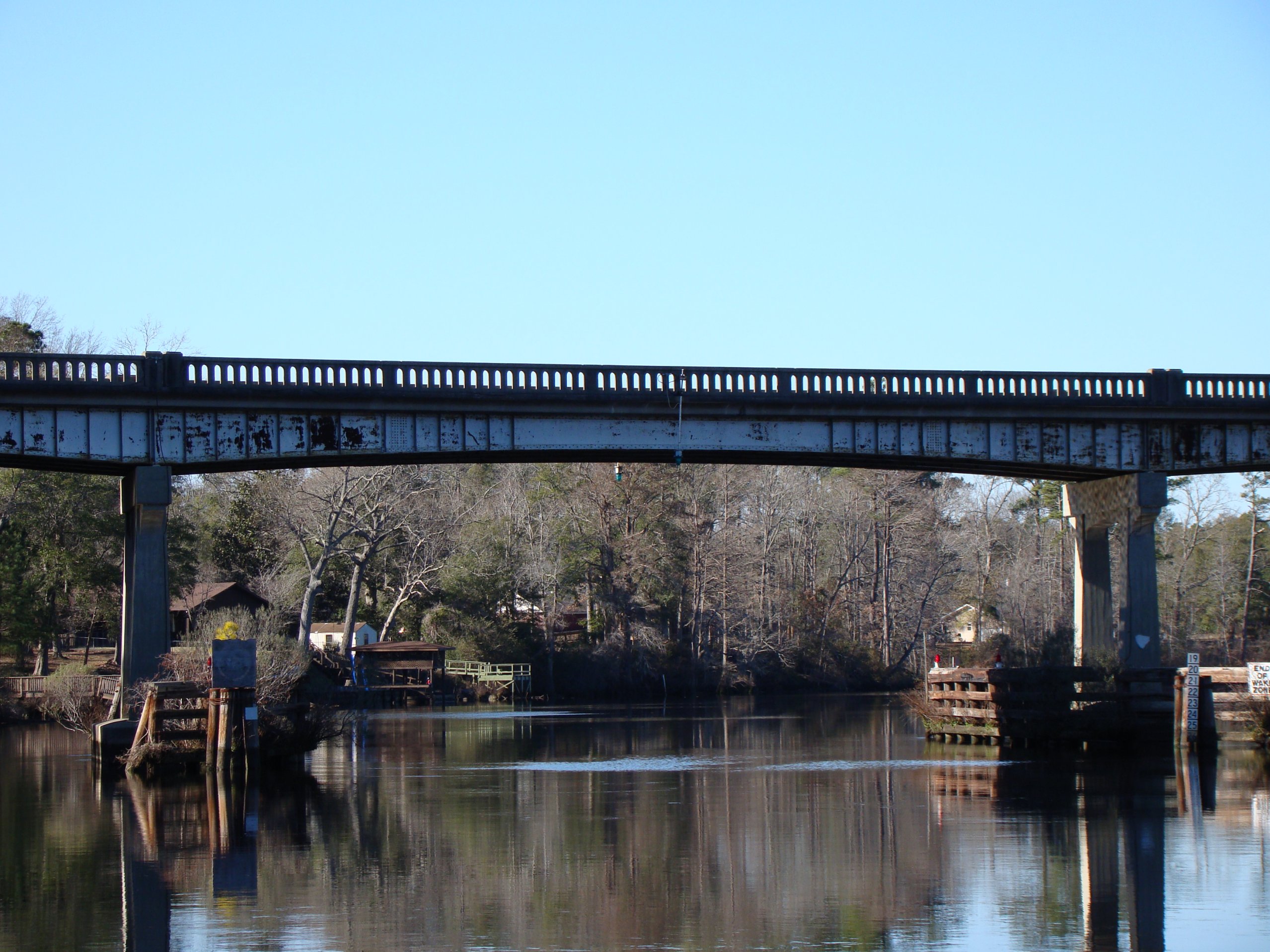
US 117/NC 133 NE Cape Fear Bridge
Topographic Map of Lanier Ave, Rocky Point, NC, USA
Find elevation by address:

Places near Lanier Ave, Rocky Point, NC, USA:
Ashton Rd, Burgaw, NC, USA
101 Hawk Hollow Trail
317 Bottle Branch Dr
103 Exeter Ct
Over Street
New Rd, Burgaw, NC, USA
212 Horseshoe Loop Rd
Little Kelly Rd, Rocky Point, NC, USA
Brick Chimney Landing
122 Daniel Rd
6928 Stag Park Rd
1 N Holly Shelter Estate Rd
Pender County
102 Periwinkle St
66 Red Hawk Ln
Burgaw
510 S Mcrae St
2624 Stag Park Rd
211 S Wright St
83 W Waverly Dr
Recent Searches:
- Elevation of Corso Fratelli Cairoli, 35, Macerata MC, Italy
- Elevation of Tallevast Rd, Sarasota, FL, USA
- Elevation of 4th St E, Sonoma, CA, USA
- Elevation of Black Hollow Rd, Pennsdale, PA, USA
- Elevation of Oakland Ave, Williamsport, PA, USA
- Elevation of Pedrógão Grande, Portugal
- Elevation of Klee Dr, Martinsburg, WV, USA
- Elevation of Via Roma, Pieranica CR, Italy
- Elevation of Tavkvetili Mountain, Georgia
- Elevation of Hartfords Bluff Cir, Mt Pleasant, SC, USA