Elevation of Langlade, WI, USA
Location: United States > Wisconsin > Langlade County >
Longitude: -88.872899
Latitude: 45.2750747
Elevation: 481m / 1578feet
Barometric Pressure: 96KPa
Elevation Map:
Satellite Map:
Related Photos:
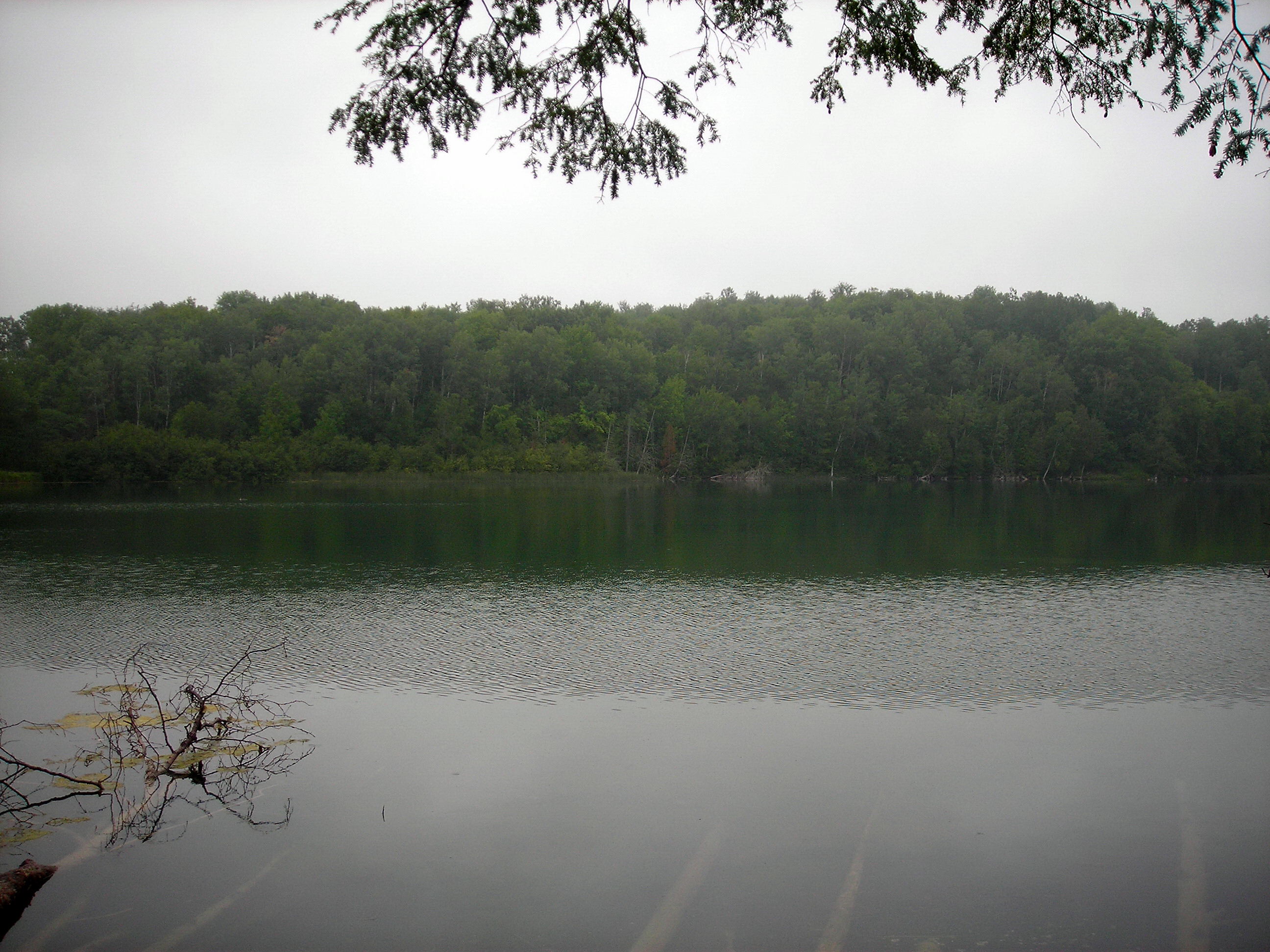
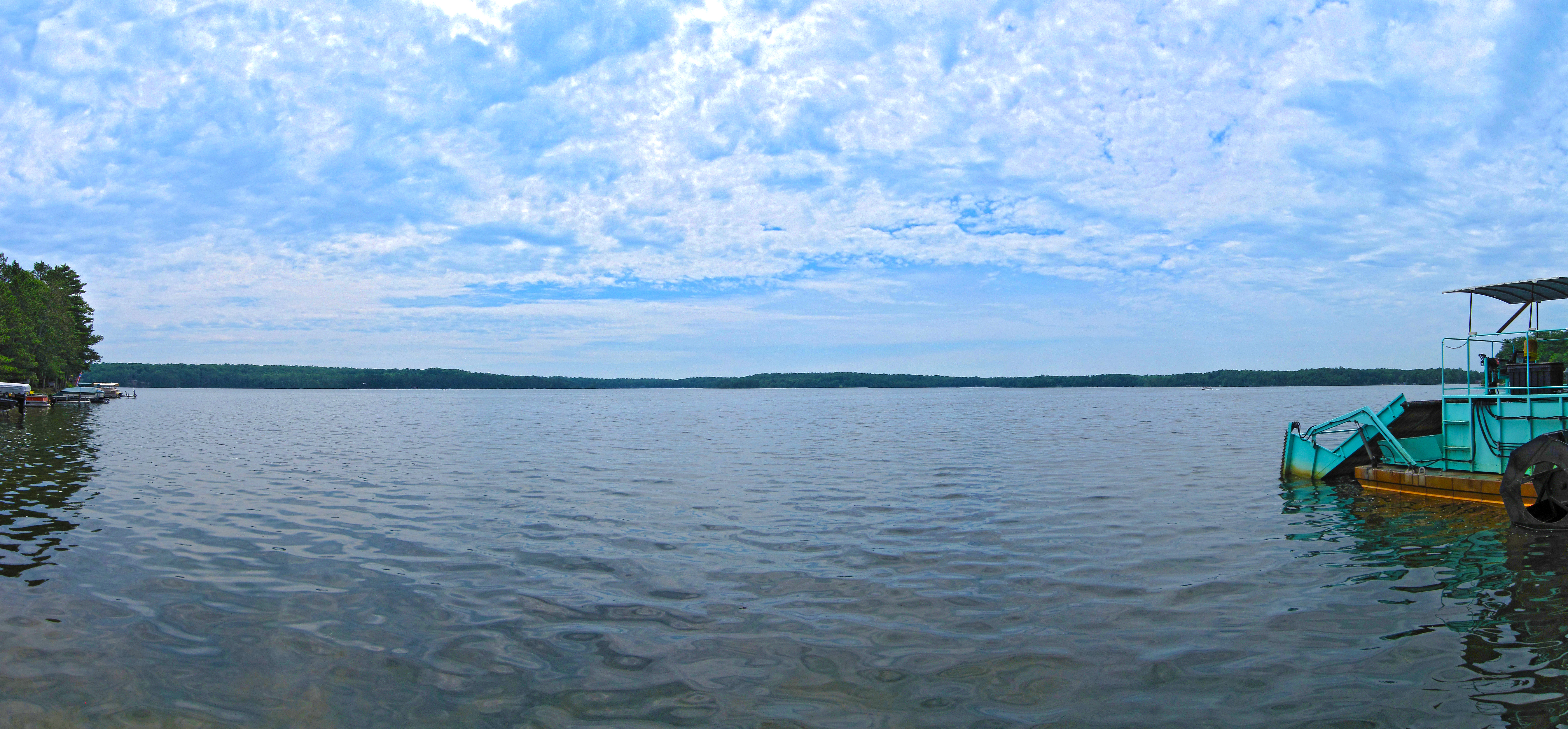
Lake View
Lake View

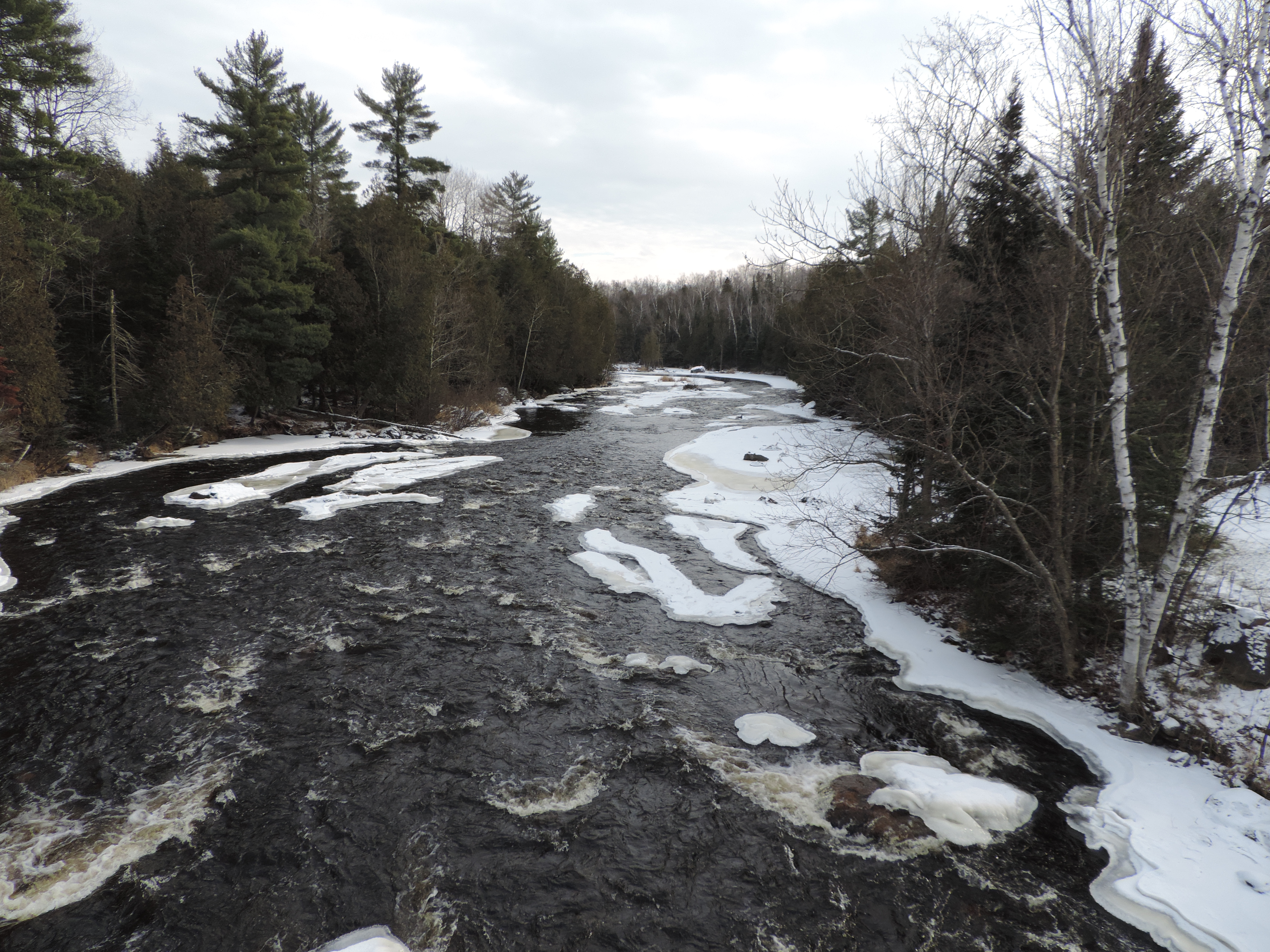
Wendigo Rapids from bridge

End of Summer!

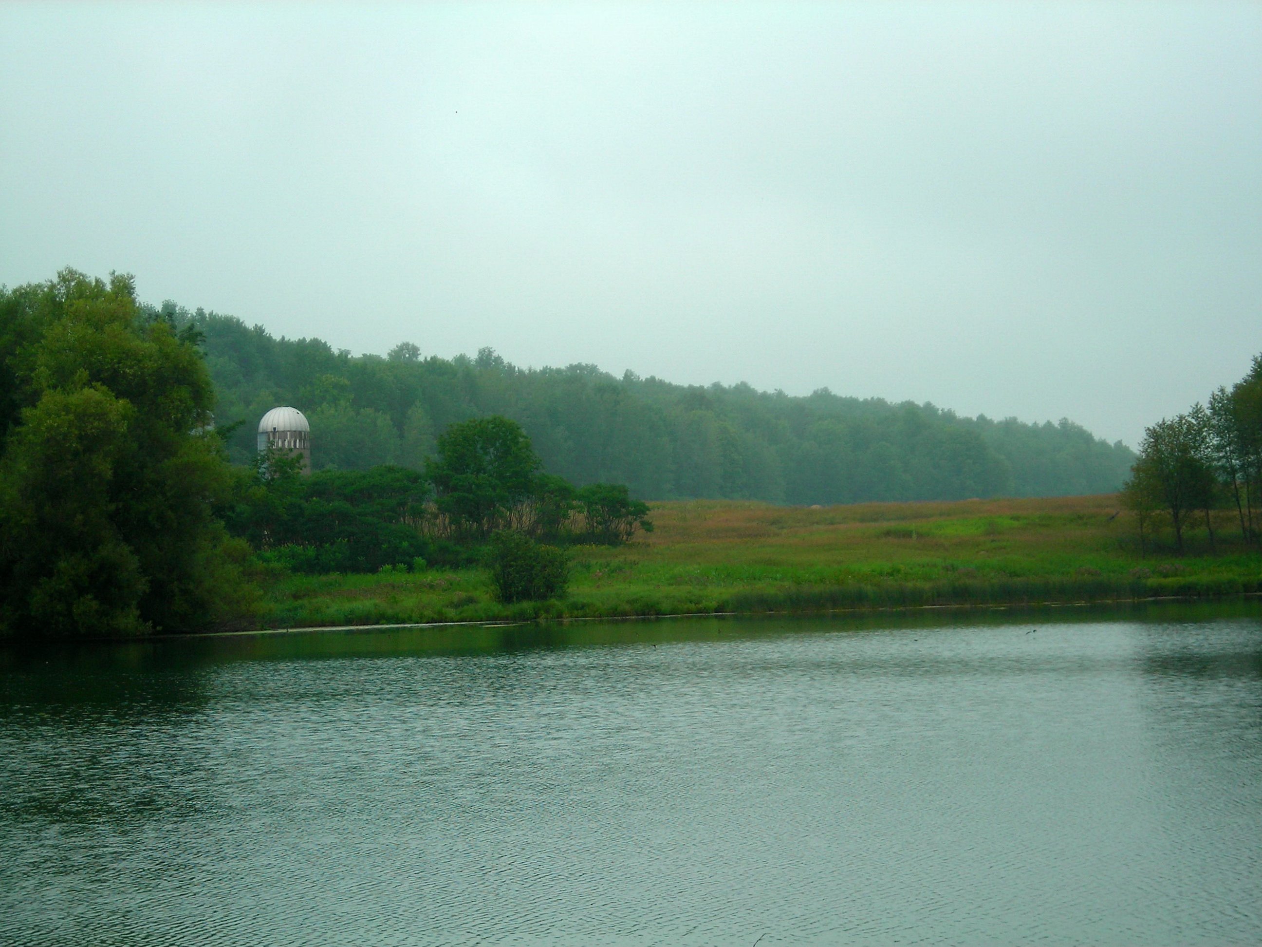
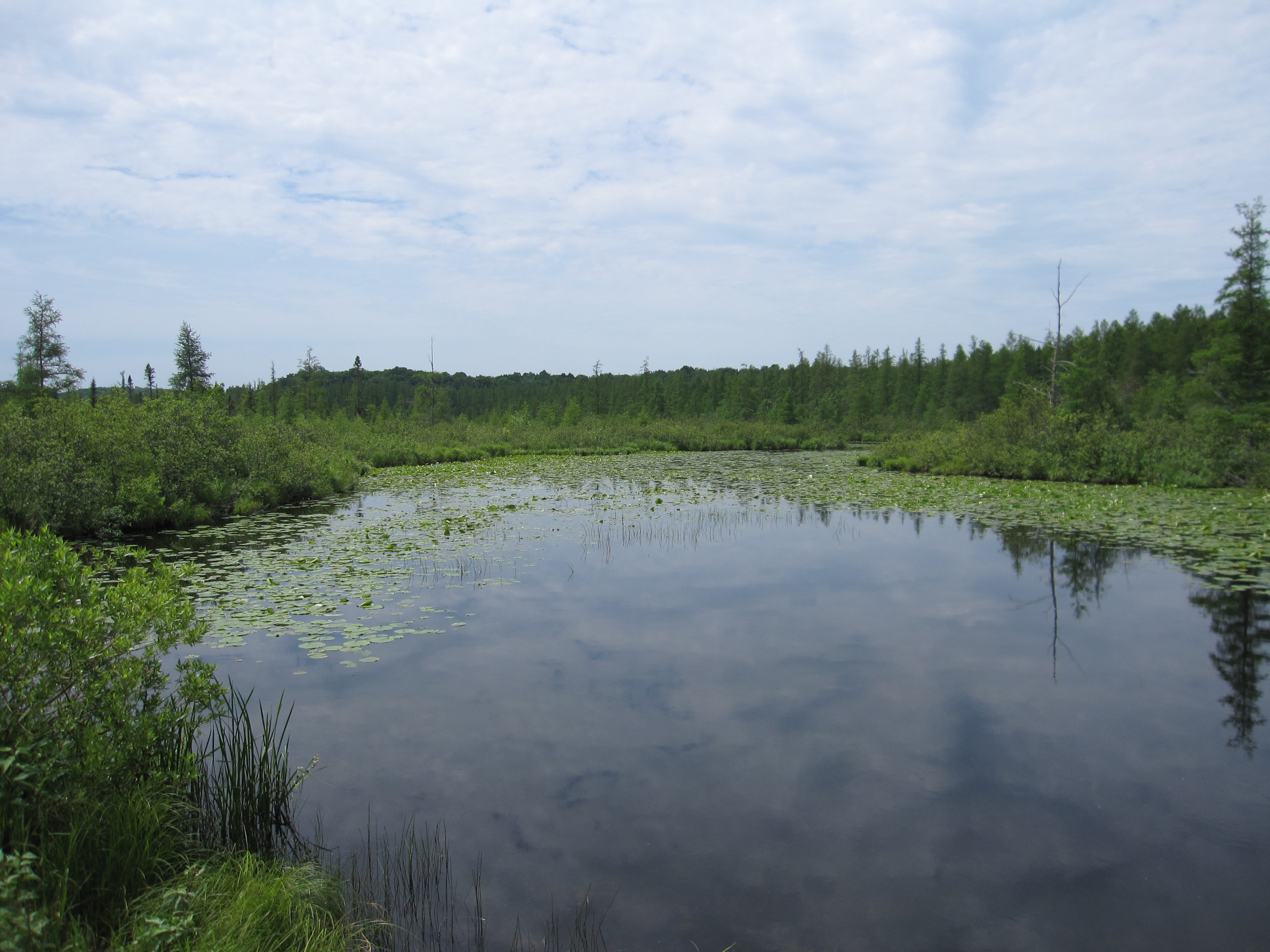
Lower Hiwanka Lake

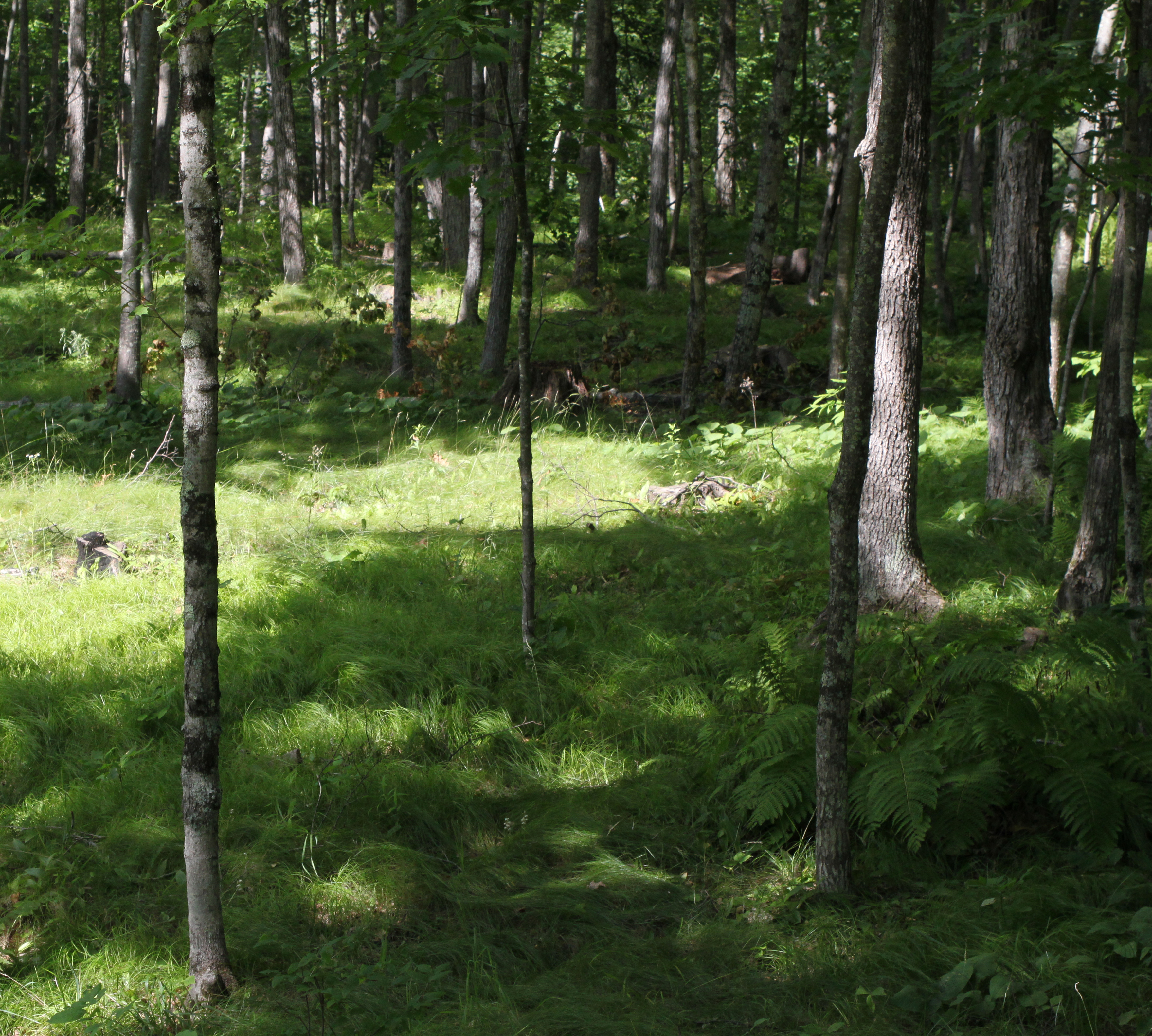
Diamond Roof State Natural Area

Diamond Roof State Natural Area

Bad Toupée
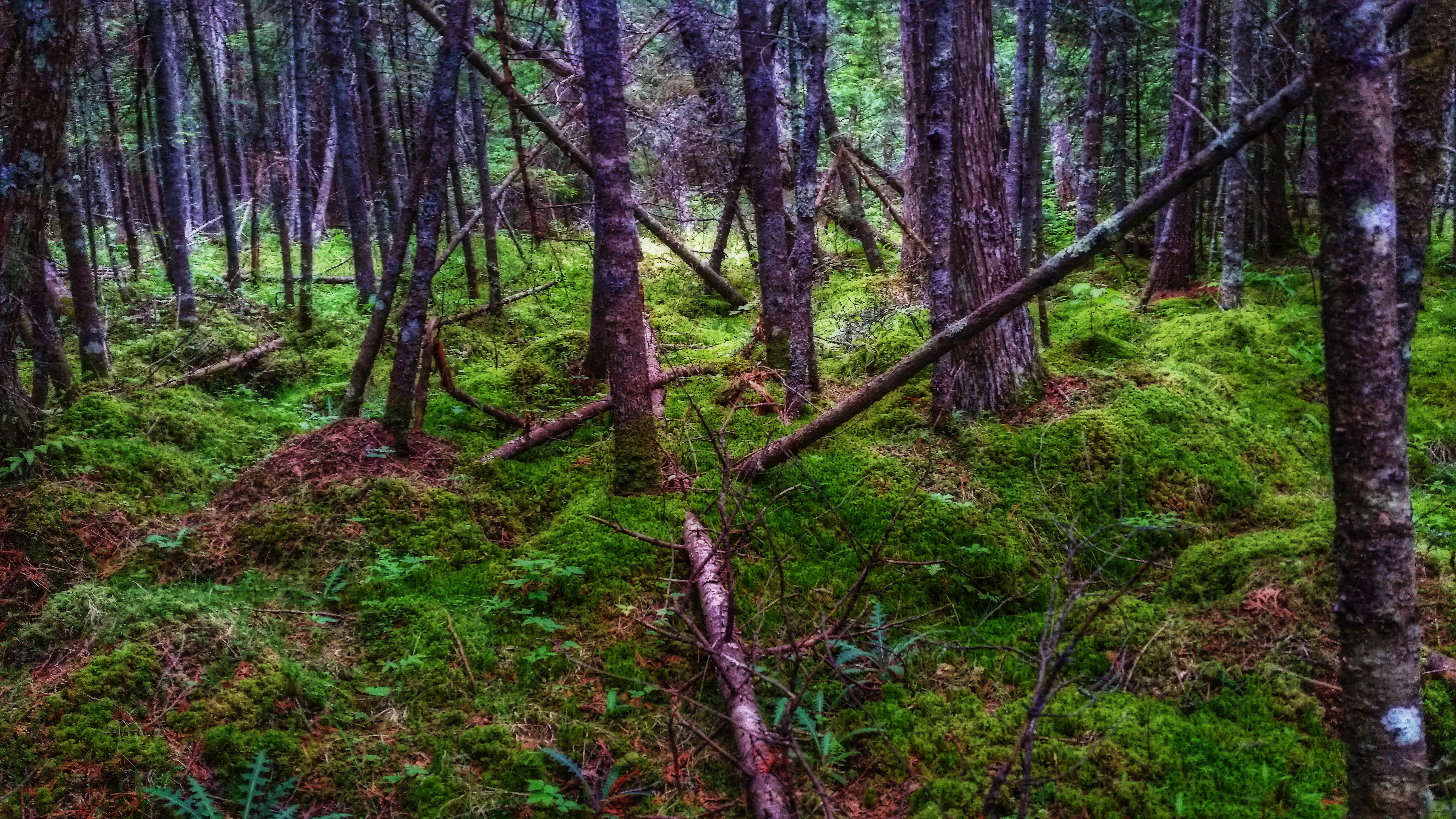
Diamond Roof State Natural Area

Lower Hiwanka Lake
Off Grass Lake Road

Rural Sunset
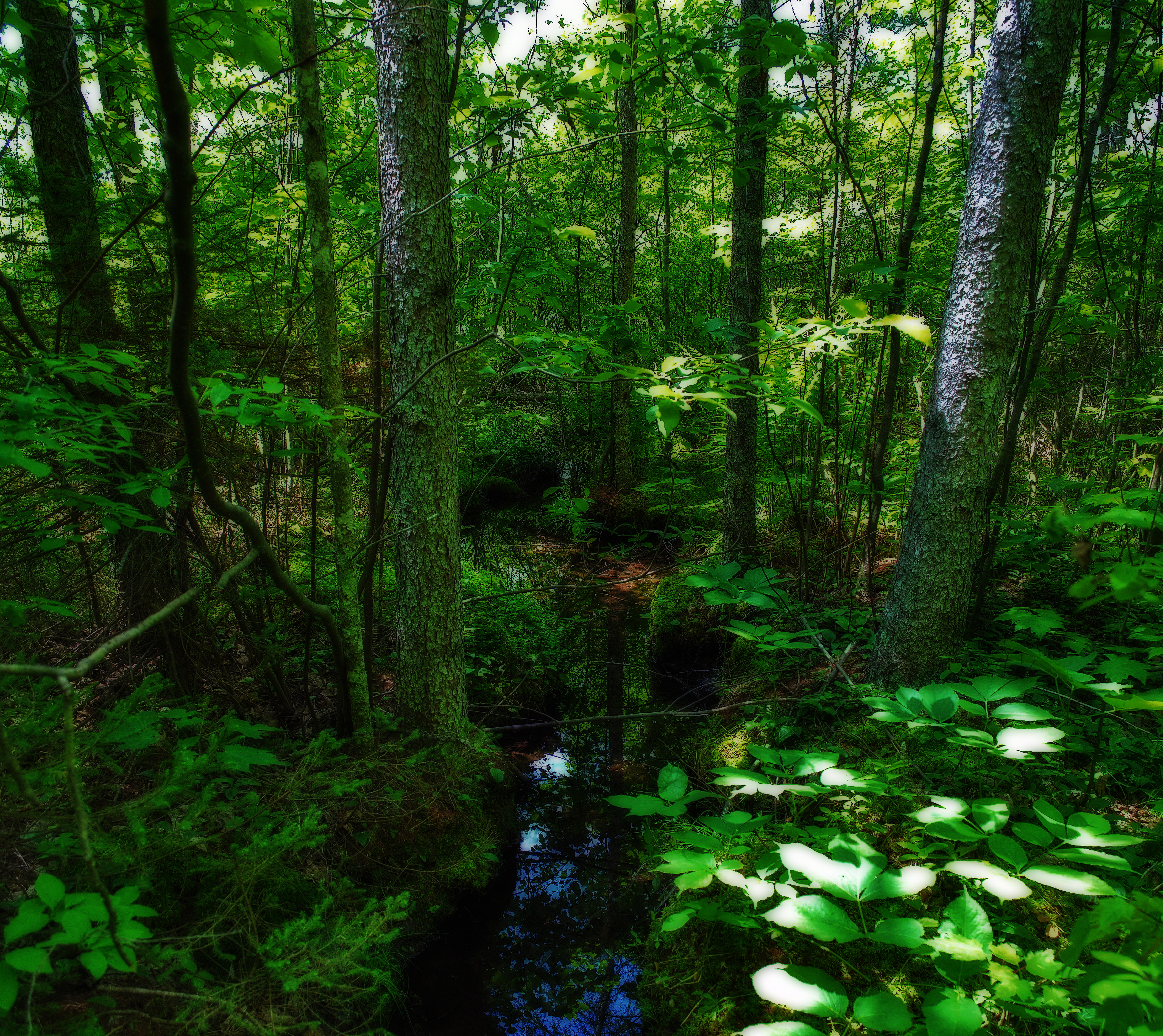
Diamond Roof State Natural Area
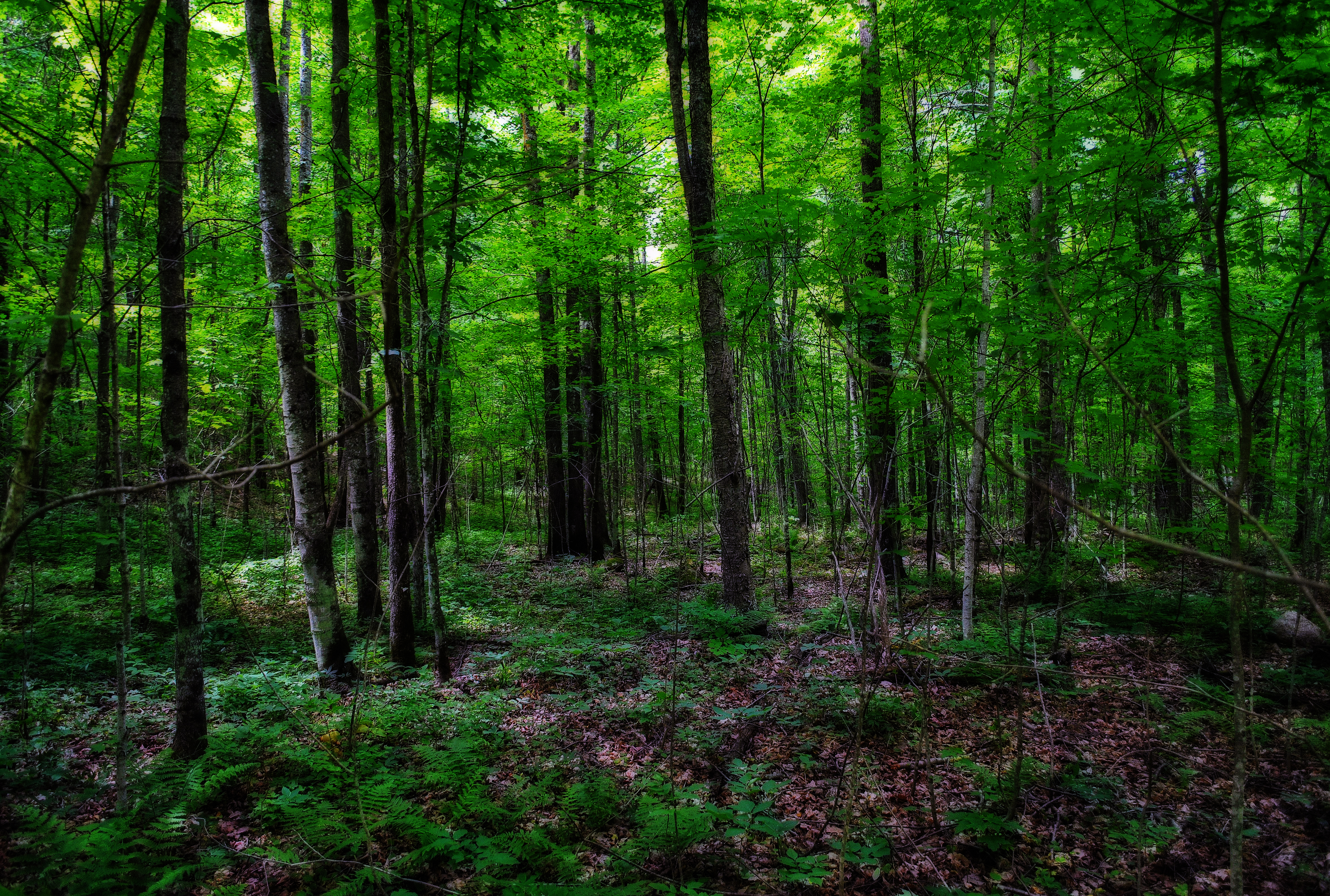
Diamond Roof State Natural Area
06-15-2012 Ride - Pickerel Lake,WI
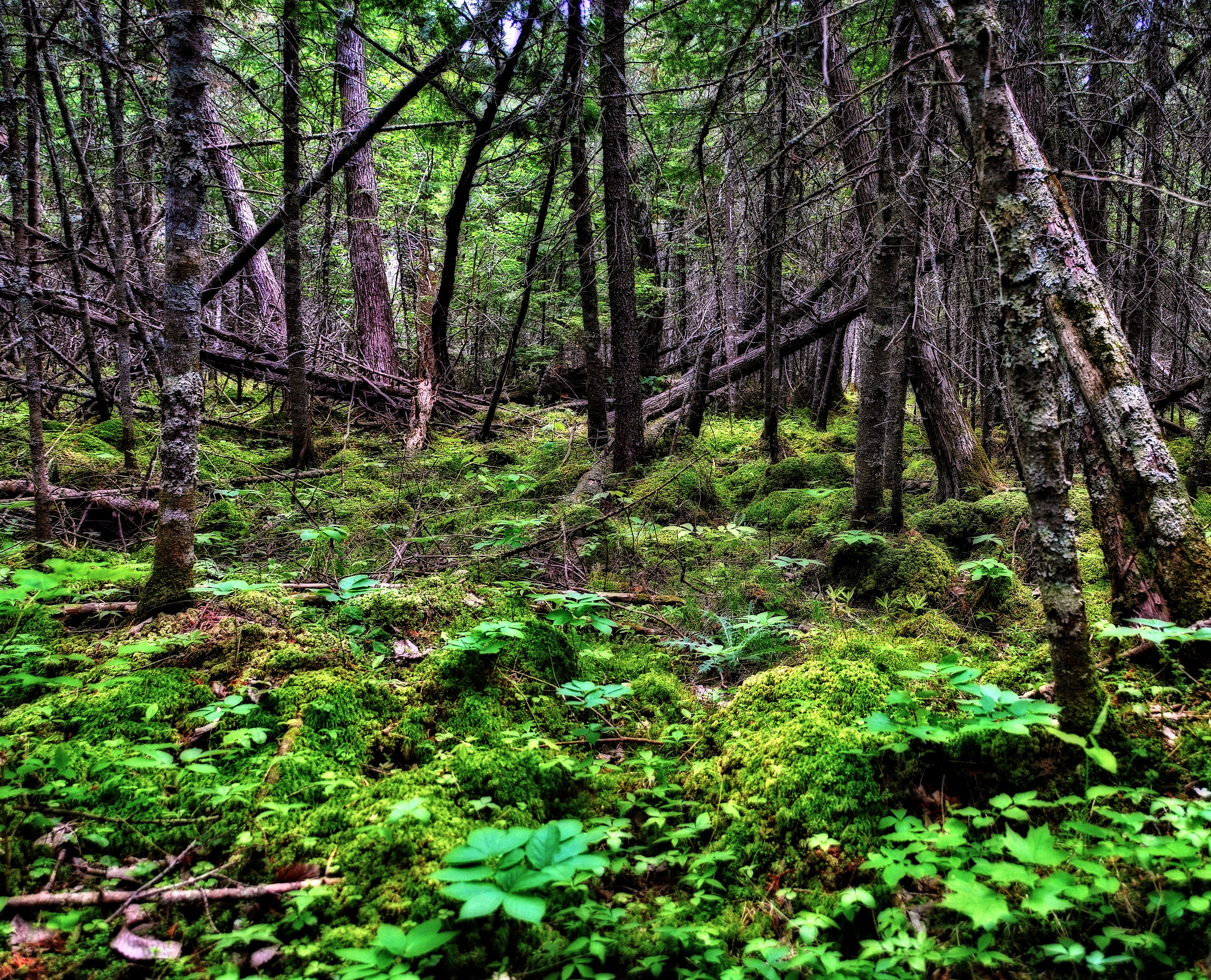
Diamond Roof State Natural Area
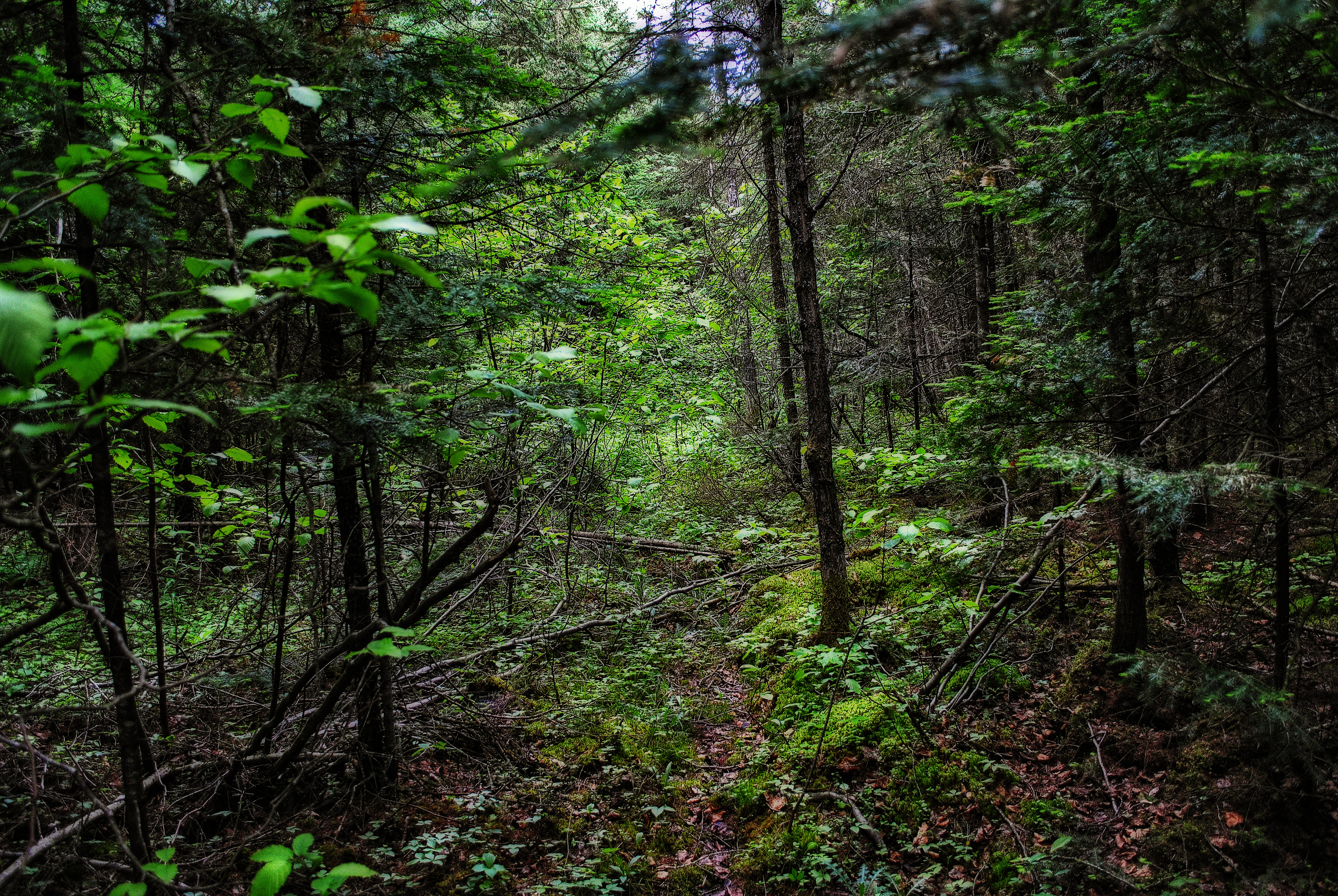
Diamond Roof State Natural Area
Wolf River Near Pearson Wisconsin
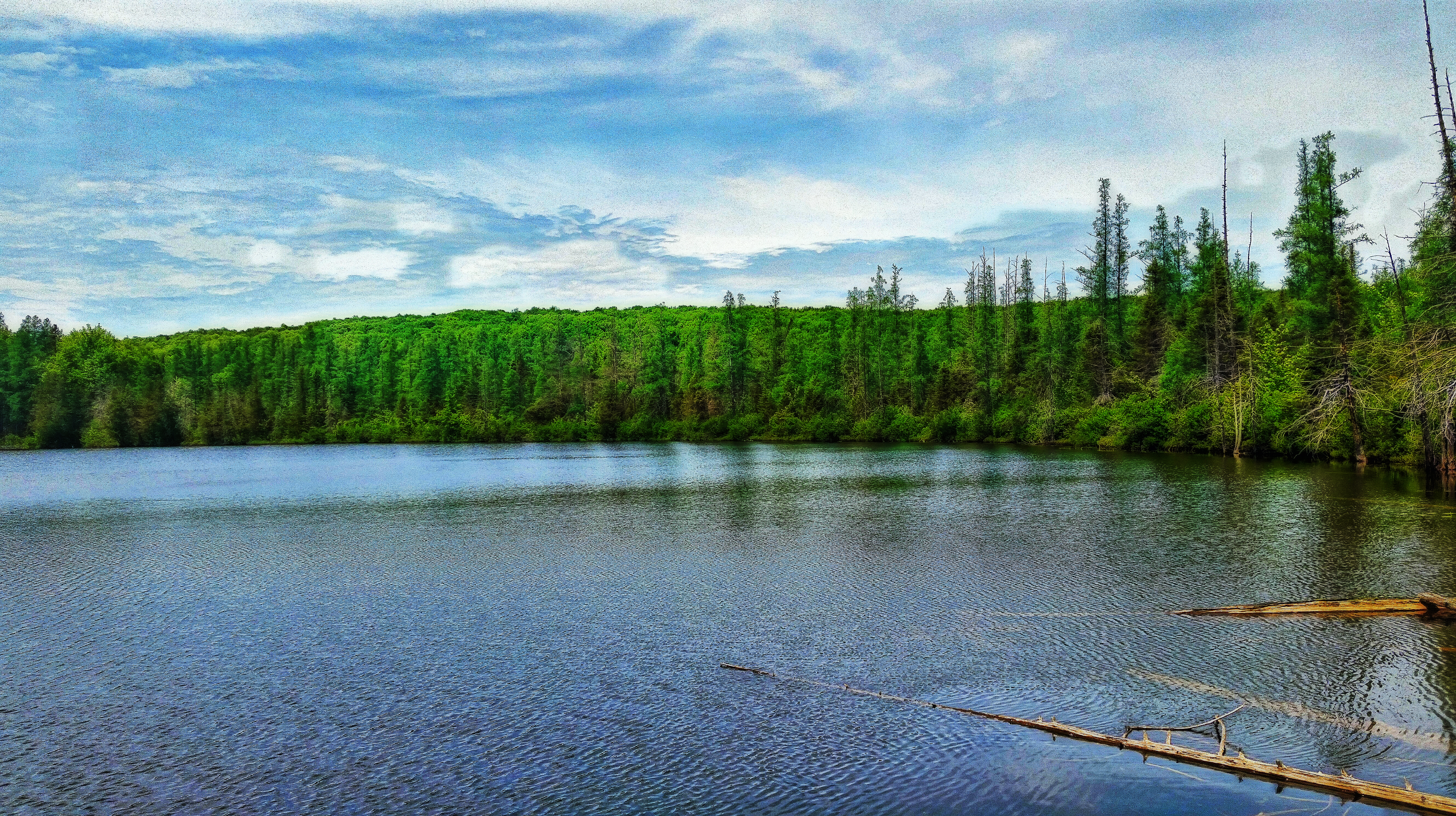
Lower Hiwanka Lake
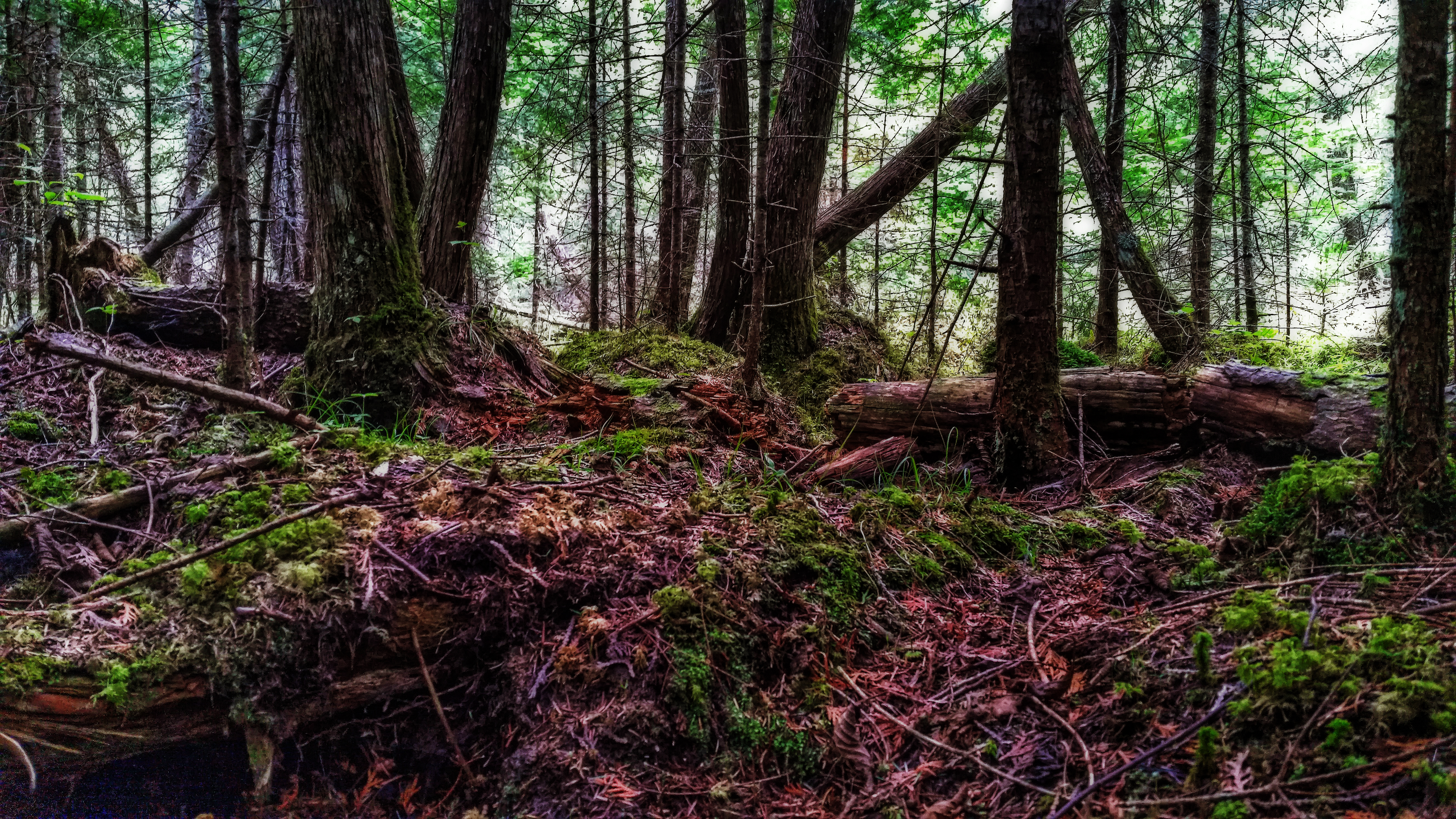
Diamond Roof State Natural Area
06-15-2012 Ride - Post Lake,WI

Black-eyed Susans
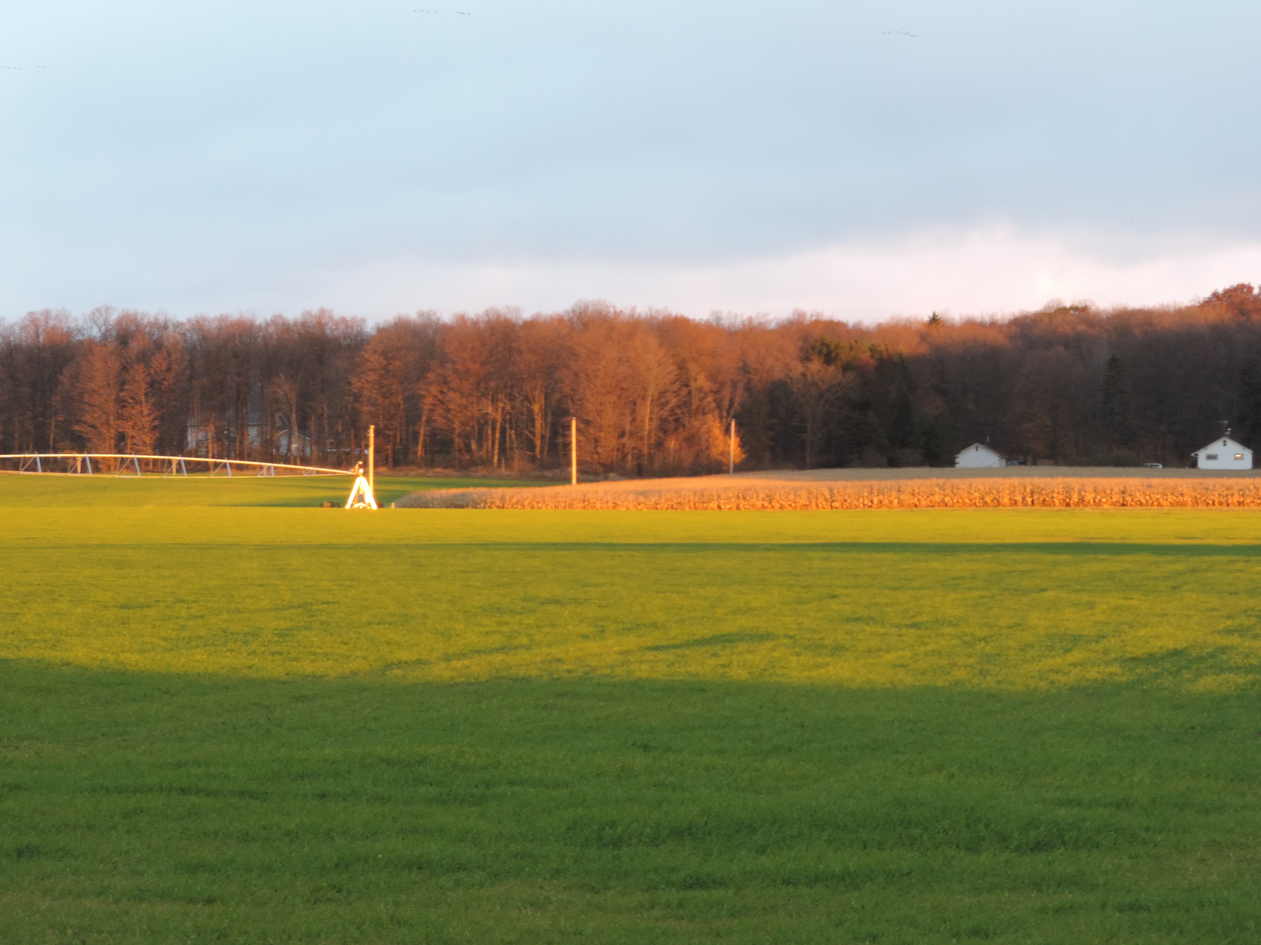
Winter Wheat Field
Topographic Map of Langlade, WI, USA
Find elevation by address:

Places in Langlade, WI, USA:
Places near Langlade, WI, USA:
WI-55, Pickerel, WI, USA
Pickerel
County Road A
Langlade County
W6962
Polar
N3202 N Stoney Rd
Neva
Wabeno
N5444
Doty
Deerbrook
Crandon
Trump Lake Rd, Wabeno, WI, USA
Antigo
Laona
E 5th St, Mattoon, WI, USA
Chief Wabeka Dr, Wabeno, WI, USA
Laona, WI, USA
Forest County
Recent Searches:
- Elevation of Crocker Dr, Vacaville, CA, USA
- Elevation of Pu Ngaol Community Meeting Hall, HWHM+3X7, Krong Saen Monourom, Cambodia
- Elevation of Royal Ontario Museum, Queens Park, Toronto, ON M5S 2C6, Canada
- Elevation of Groblershoop, South Africa
- Elevation of Power Generation Enterprises | Industrial Diesel Generators, Oak Ave, Canyon Country, CA, USA
- Elevation of Chesaw Rd, Oroville, WA, USA
- Elevation of N, Mt Pleasant, UT, USA
- Elevation of 6 Rue Jules Ferry, Beausoleil, France
- Elevation of Sattva Horizon, 4JC6+G9P, Vinayak Nagar, Kattigenahalli, Bengaluru, Karnataka, India
- Elevation of Great Brook Sports, Gold Star Hwy, Groton, CT, USA