Elevation of Langhorne Creek SA, Australia
Location: Australia > South Australia > Alexandrina Council >
Longitude: 139.038277
Latitude: -35.296255
Elevation: 22m / 72feet
Barometric Pressure: 101KPa
Elevation Map:
Satellite Map:
Related Photos:
Milang. Rear view of the Anglican Church. Built in local limestone in 1911.
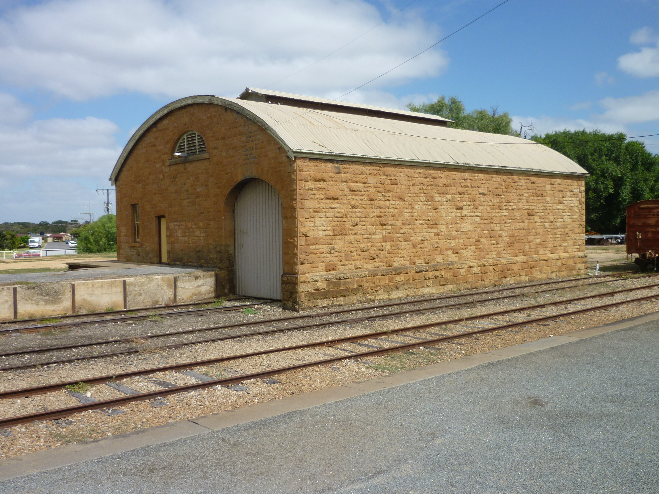
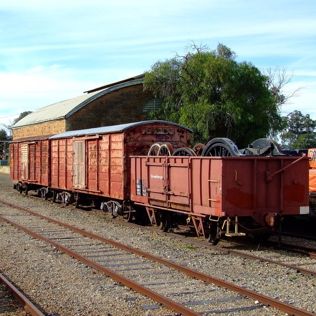
Strathalbyn Goods Shed
Sandergrove to Strathalbyn

Brill 60 at Strathalbyn
Land of contrasts
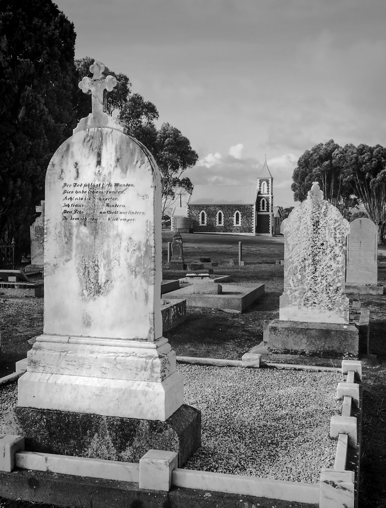
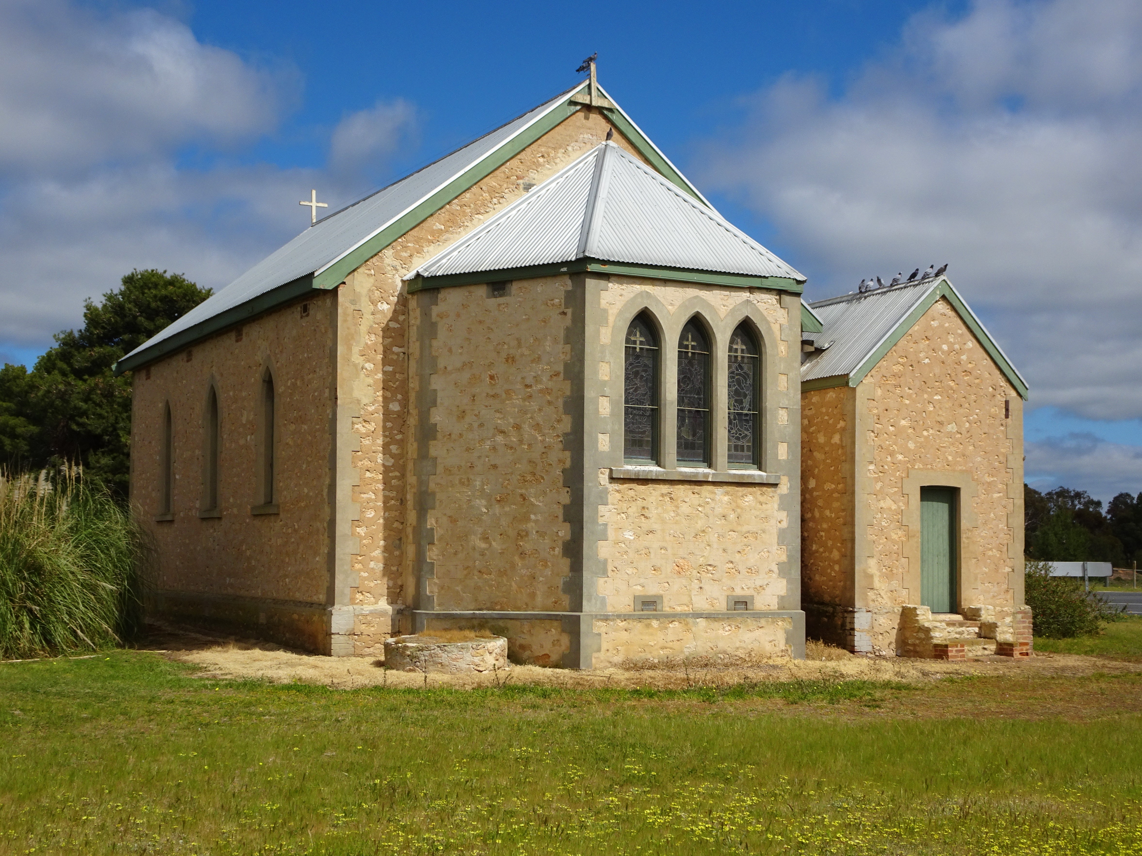
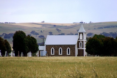
Church view, Salem - South Australia
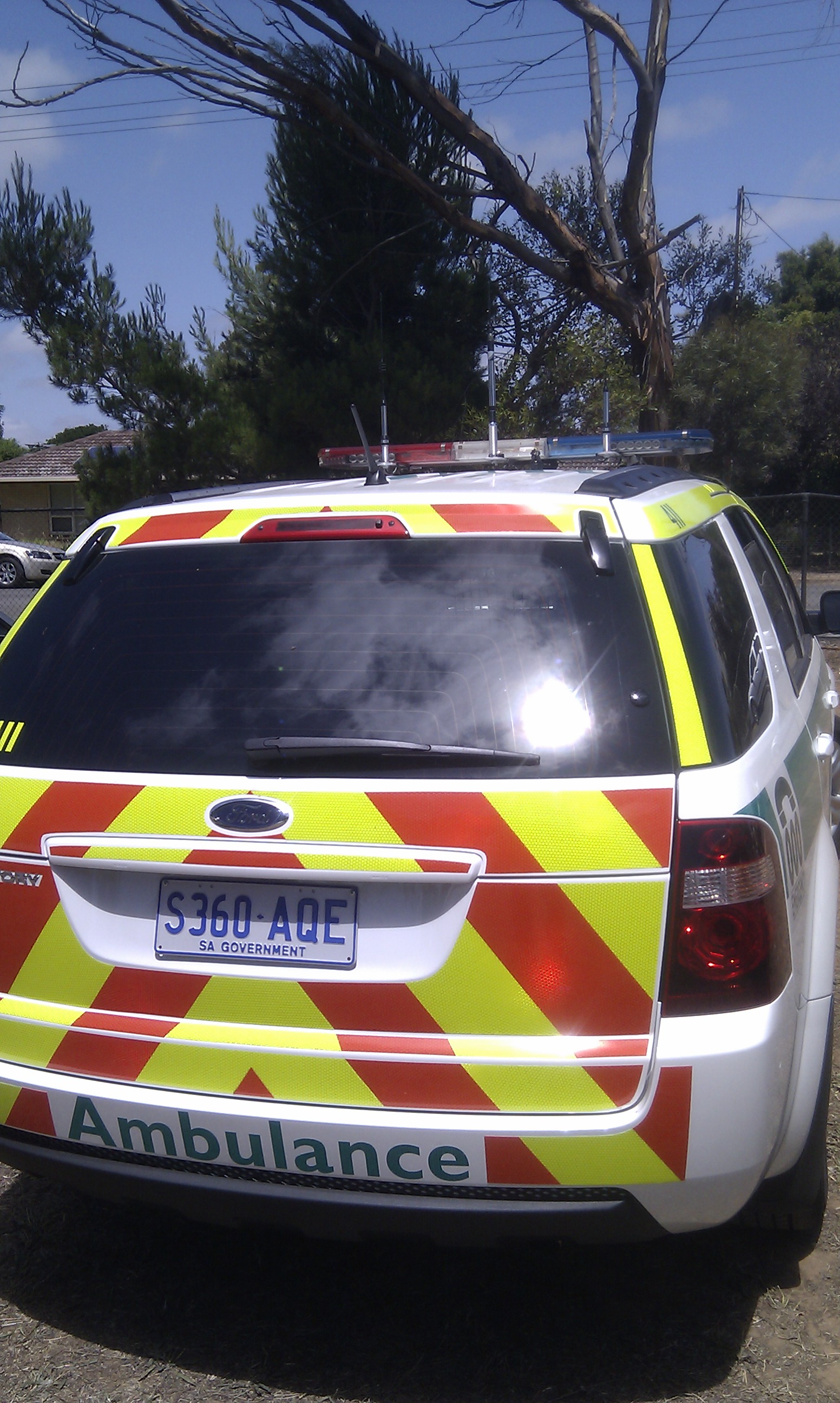
SAAS Ford Territory
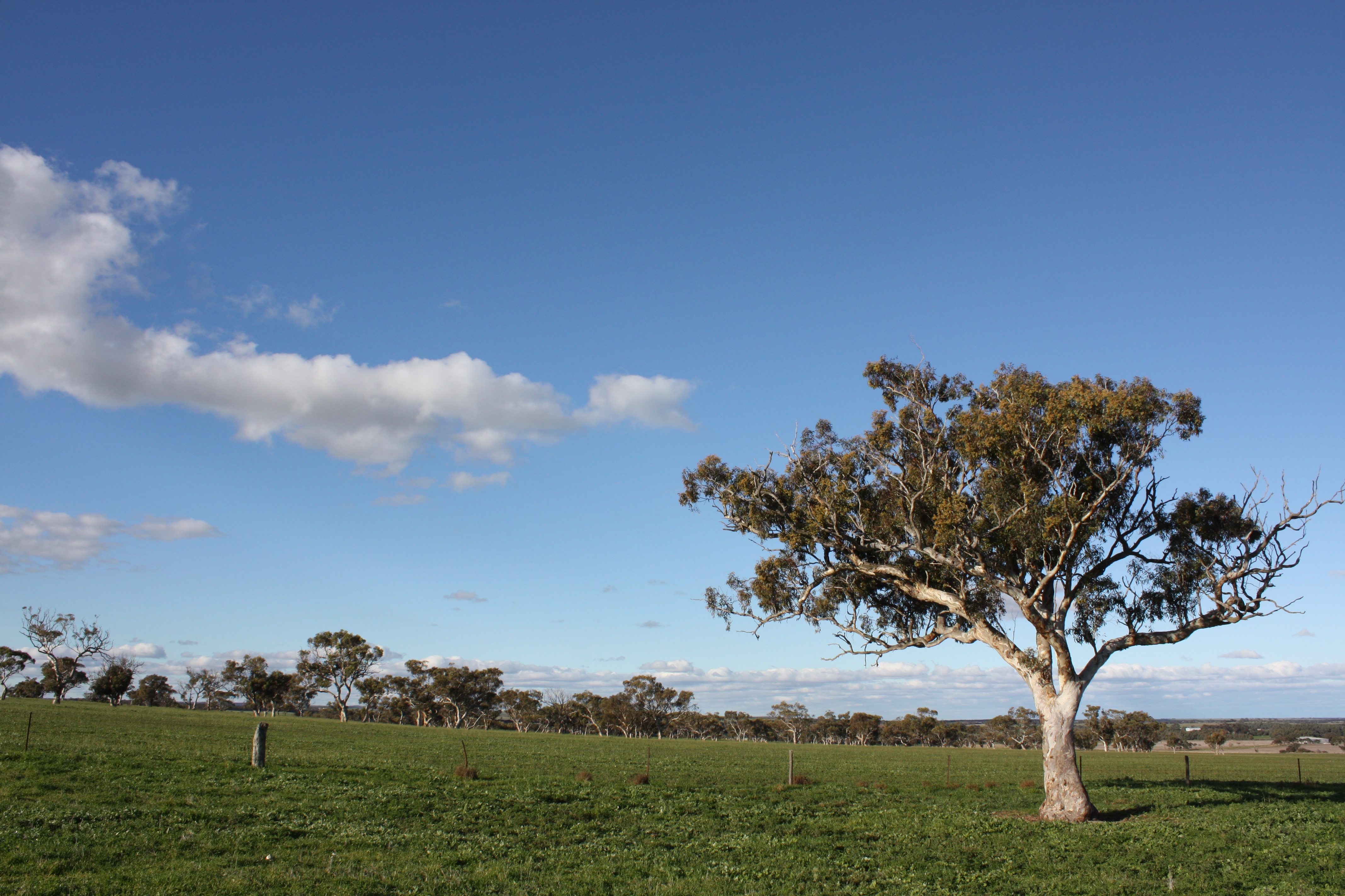
Farm View

SAAS Ford Territory
SAAS Ford Territory

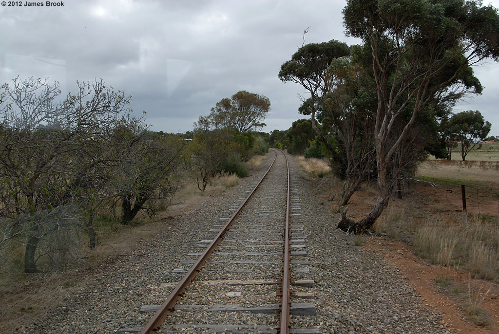
Strathalbyn to Sandergrove

Brill 60's controls
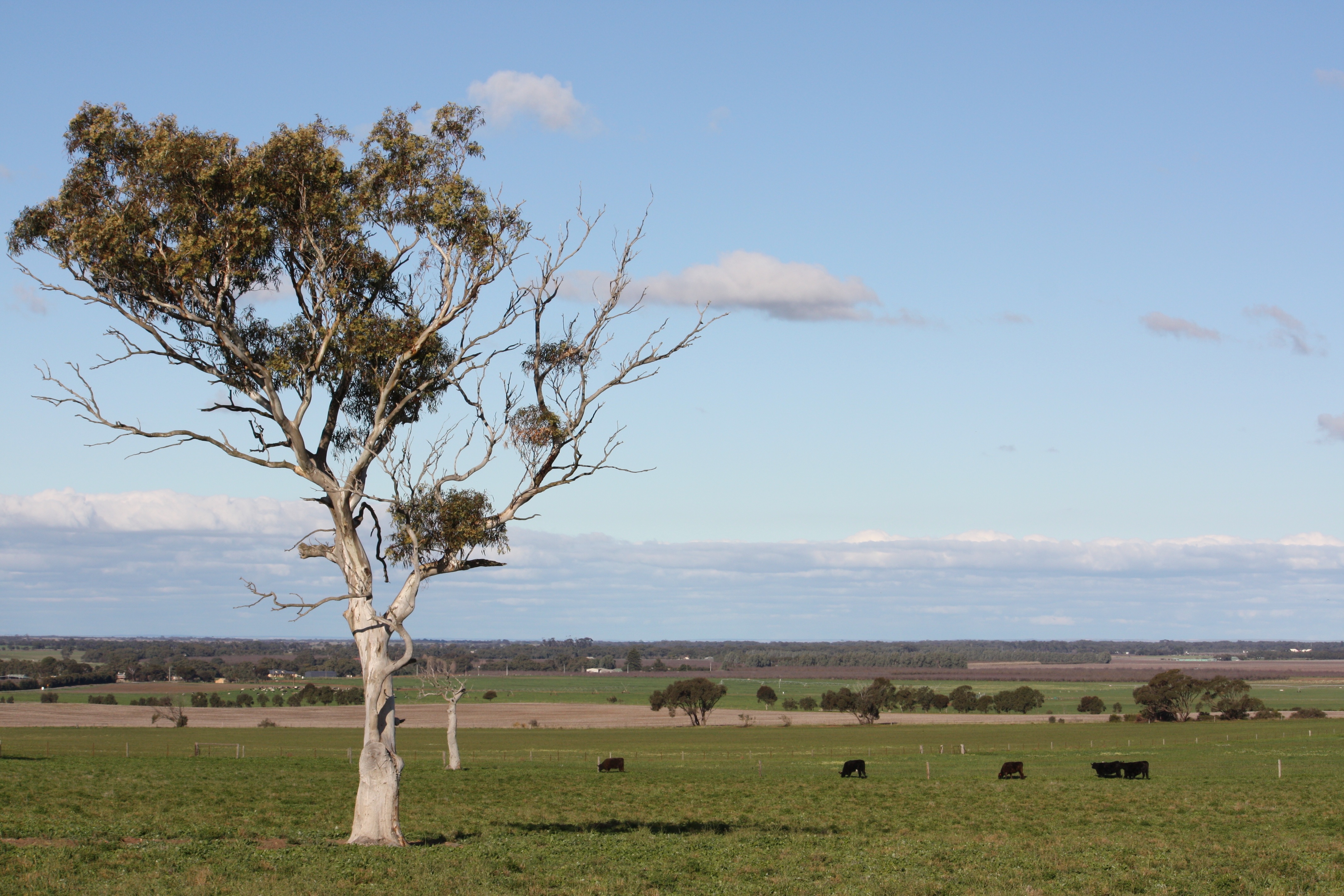
Farm View
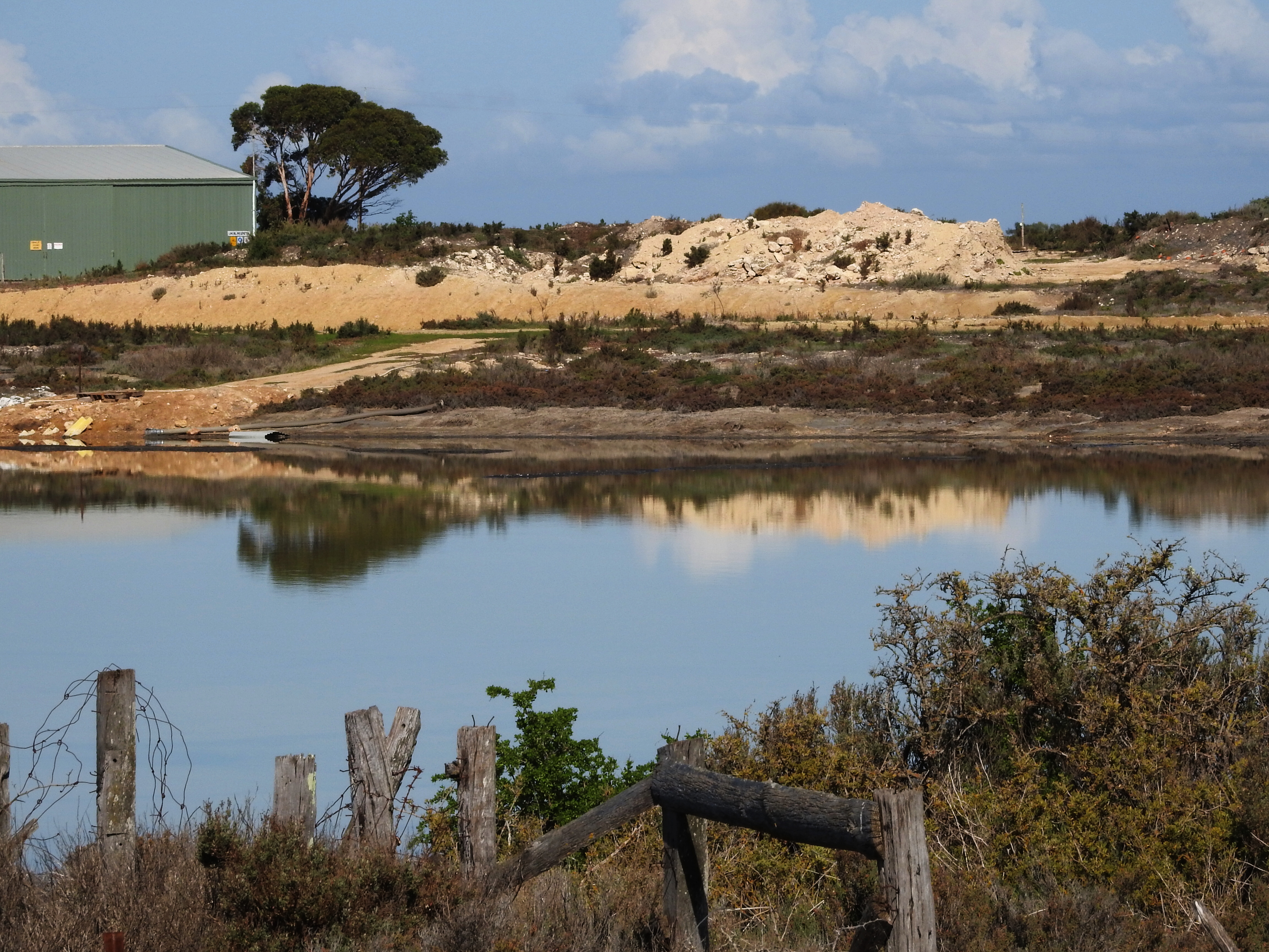
Australian Salt Works, Mulgundawa
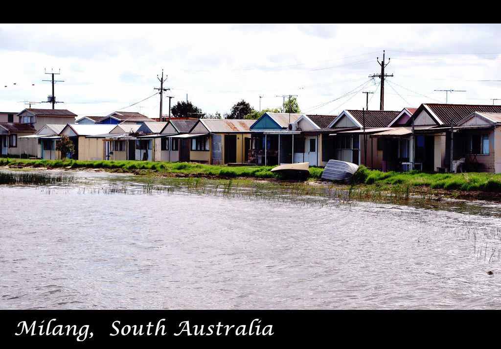
Holiday shacks on the shores of Lake Alexandrina
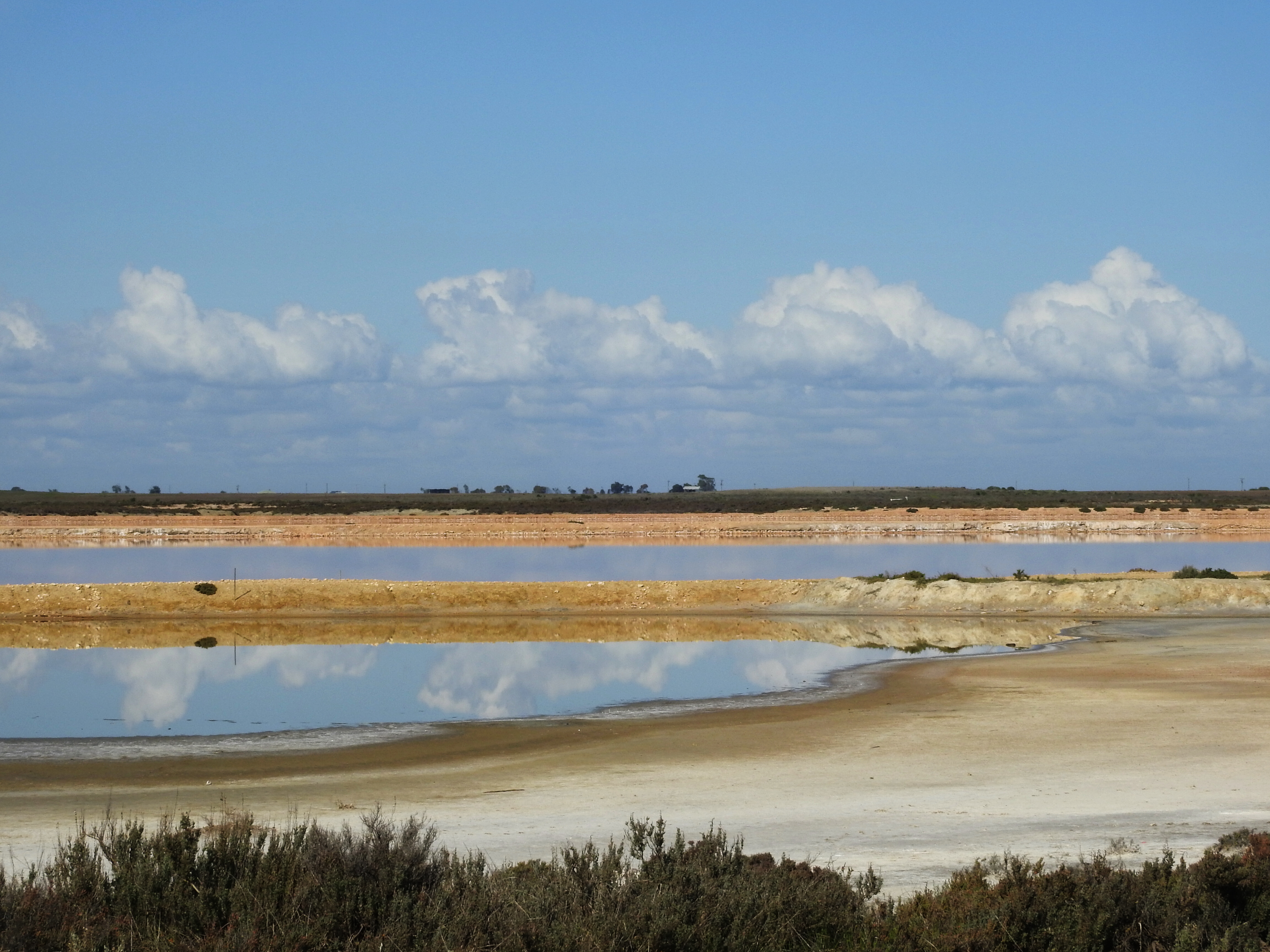
Australian Salt Works, Mulgundawa
Remnant | Hartley

Giant Aloe Vera Plant
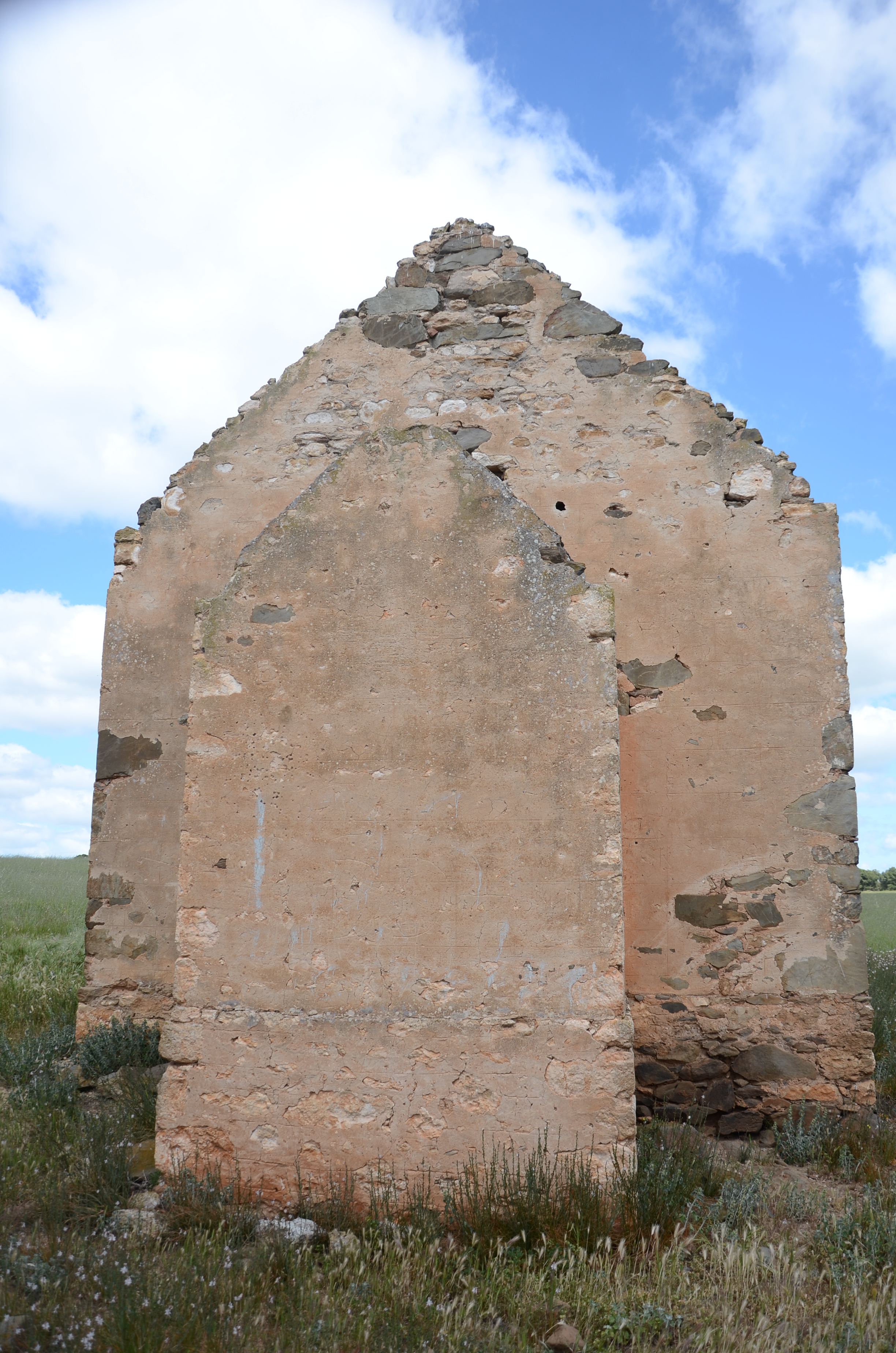
DSC_3490 ruins of Hartley Methodist Church, South Australia
Diving into Deep Light
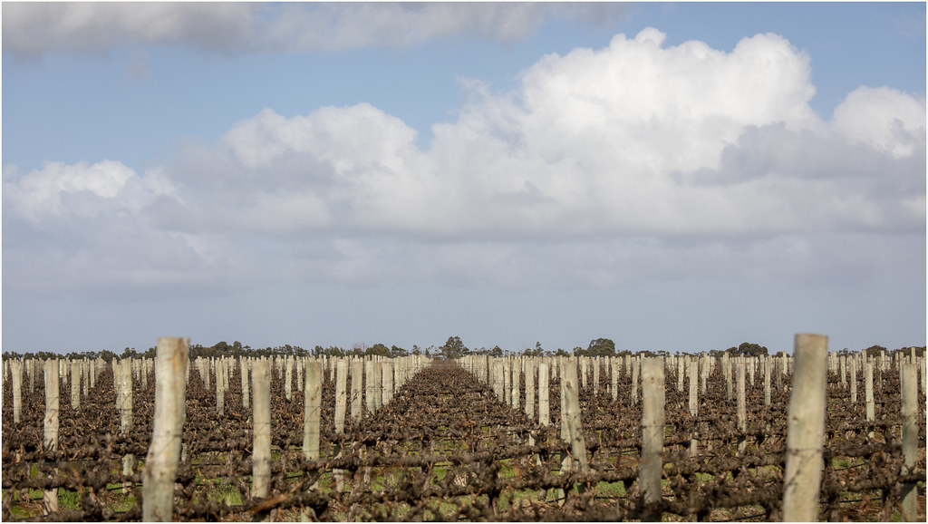
Vineyard . South Australia
more Golden Fields
40 degree afternoon
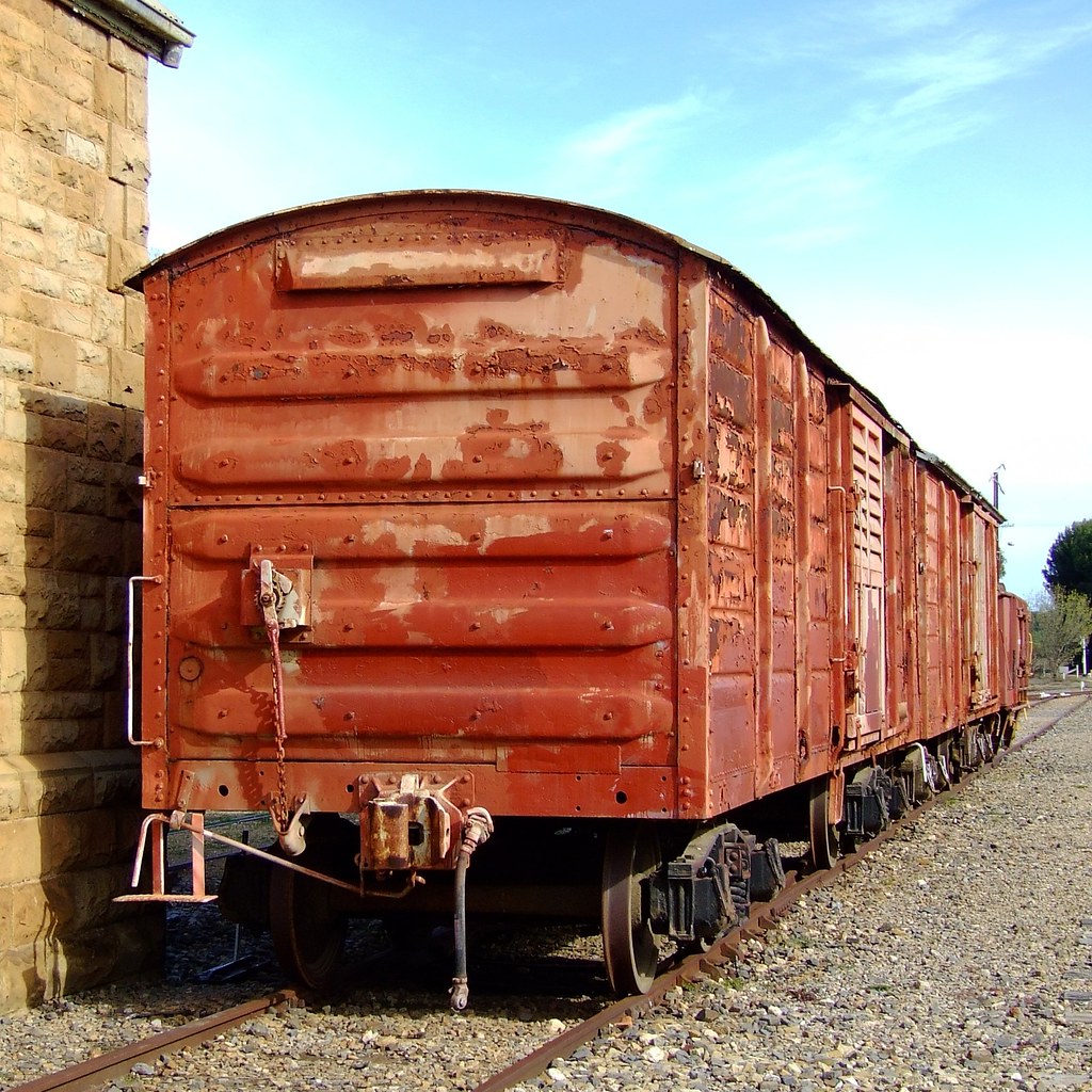
Boxcars | Strathalbyn
Boxcars | Strathalbyn
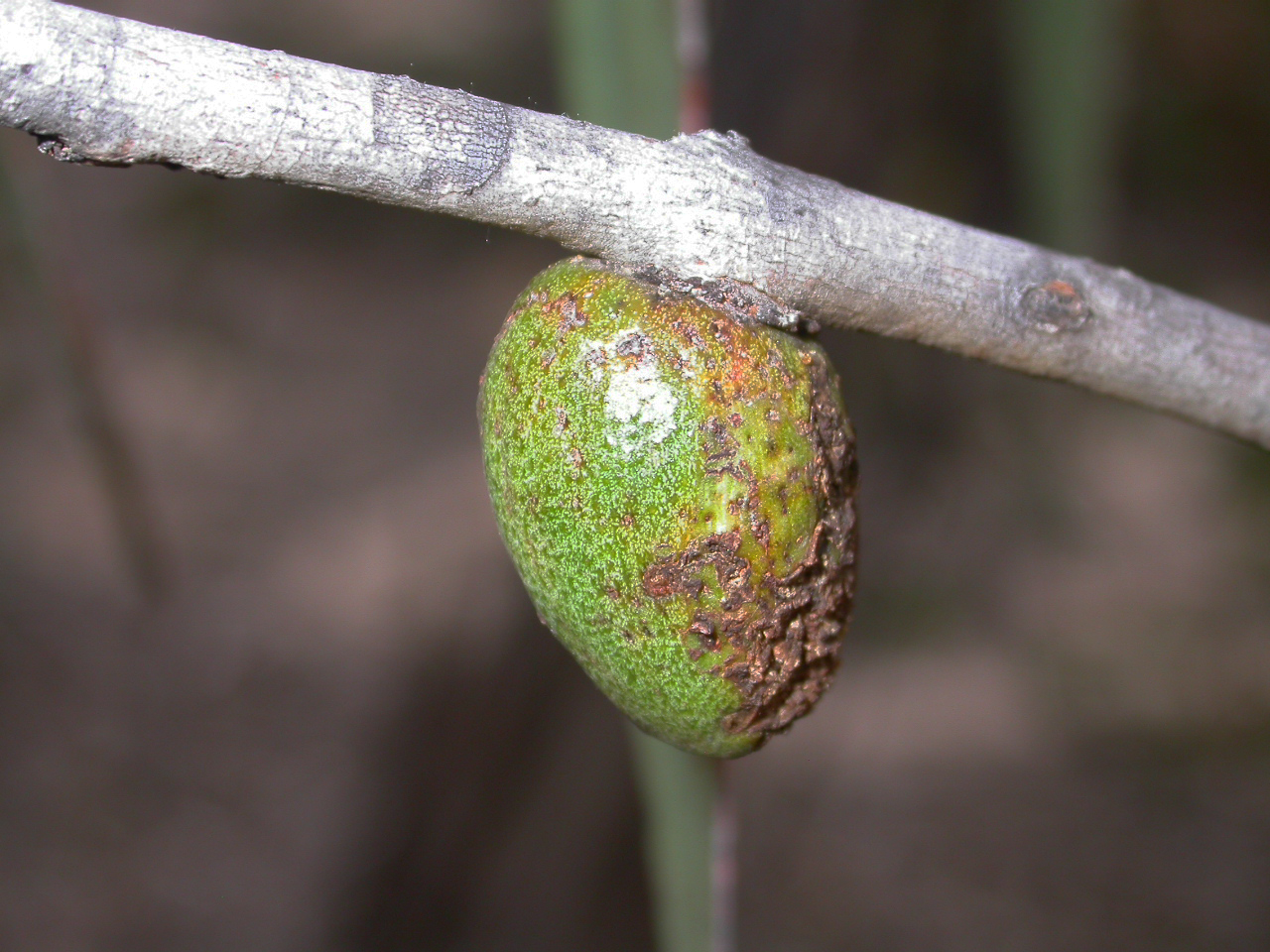
Apiomorpha sp. (Hemiptera: Eriococcidae)
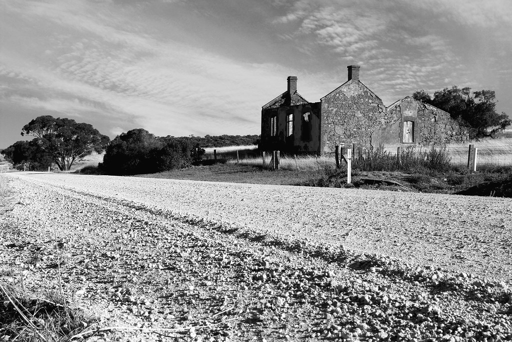
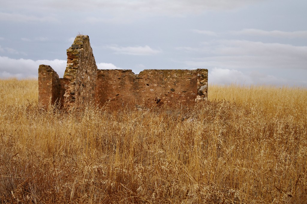
Ruined House | Red Creek
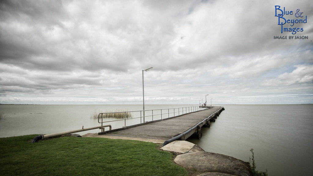
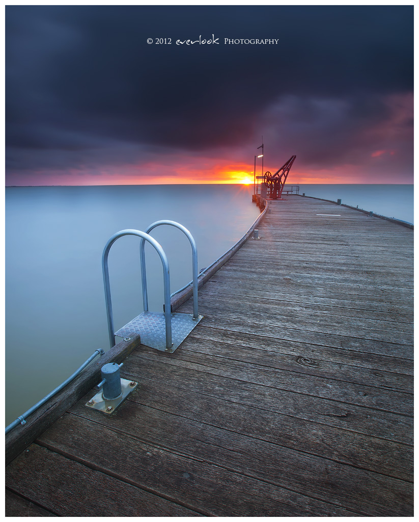
2013-09-17 Milang Jetty - DSC_3667.jpg
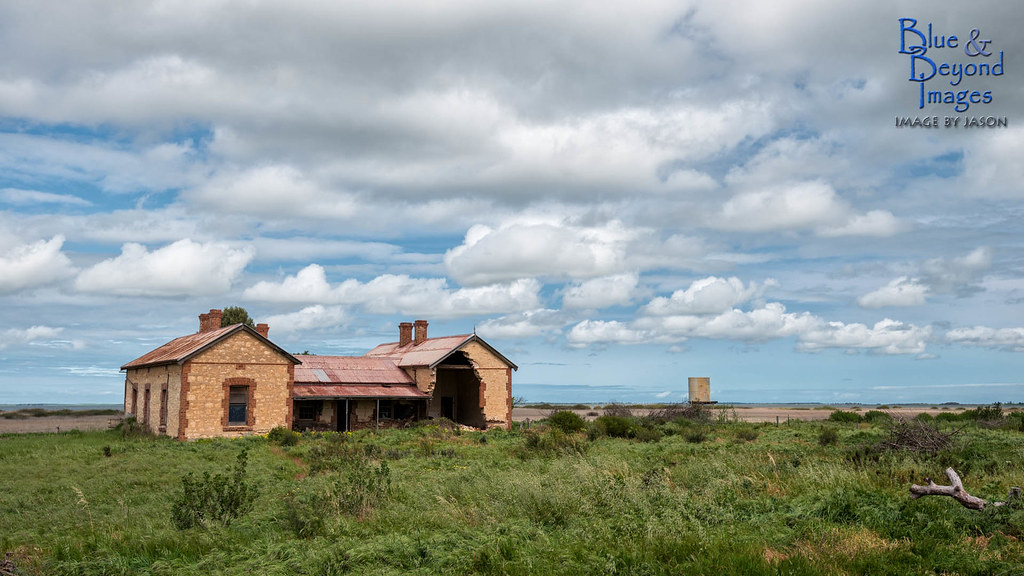
Renovators Delights
Lutheran Church | Salem
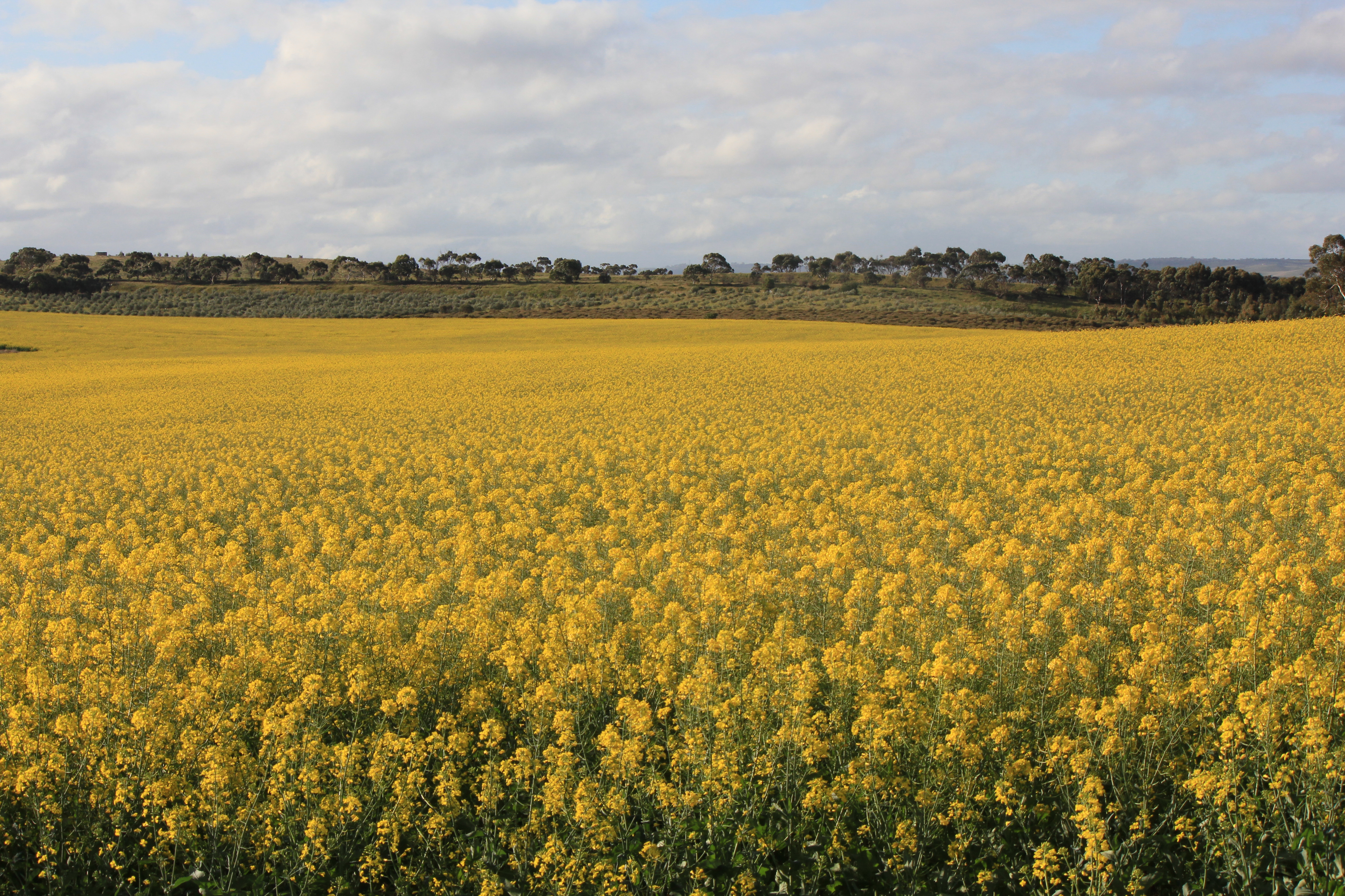
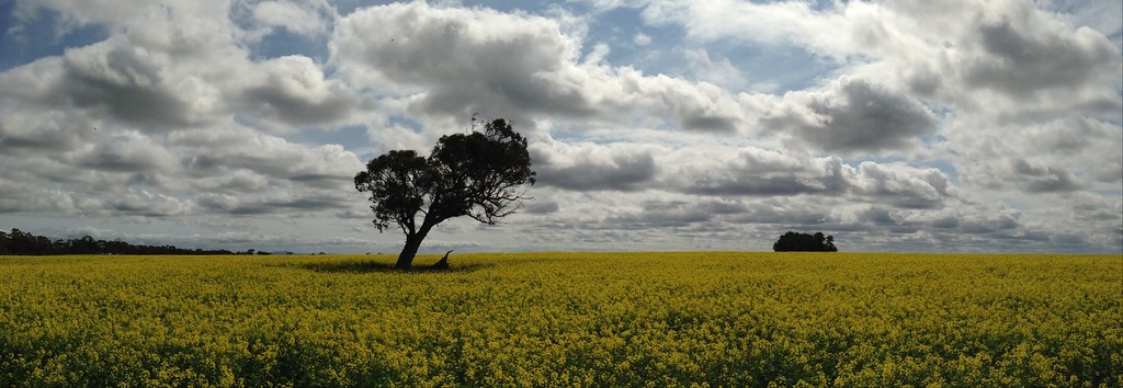
canola fields

Aus11-05550

outstanding in its field
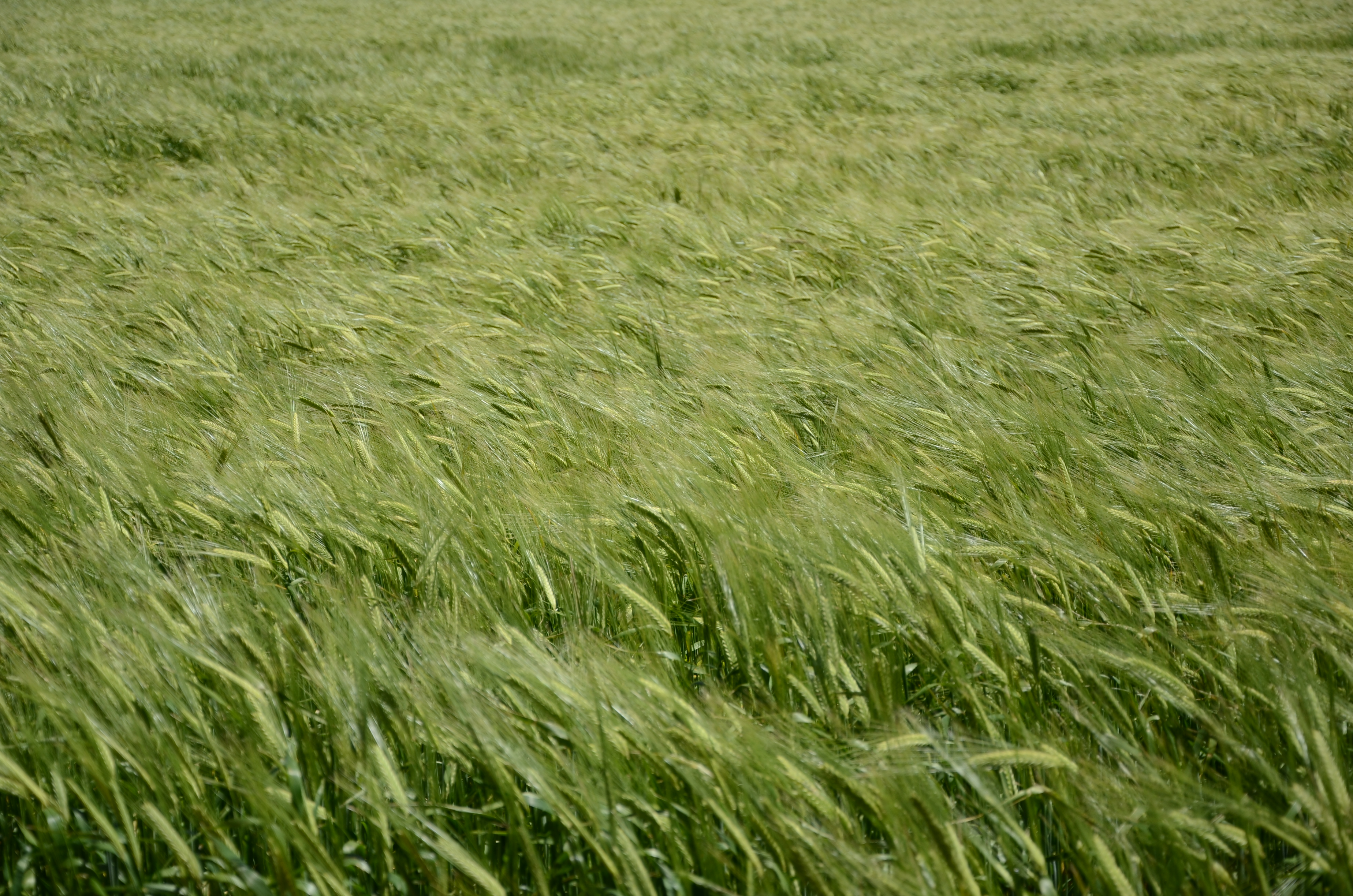
DSC_6057 sea of green, barley, Belvidere, South Australia
Topographic Map of Langhorne Creek SA, Australia
Find elevation by address:

Places near Langhorne Creek SA, Australia:
Angas Plains
South Bremer Road
Belvidere
Alexandrina Council
Hartley
Bremer River
Port Elliot
Willunga Hill
14 Kookaburra Ct
16 Kookaburra Ct
15 Kookaburra Ct
Willunga
8 Giles Rd
Victor Harbor
86 Aldinga Rd
Encounter Bay
City Of Onkaparinga
7 Passatt St
13 Grand Blvd
City Of Victor Harbor
Recent Searches:
- Elevation of Elwyn Dr, Roanoke Rapids, NC, USA
- Elevation of Congressional Dr, Stevensville, MD, USA
- Elevation of Bellview Rd, McLean, VA, USA
- Elevation of Stage Island Rd, Chatham, MA, USA
- Elevation of Shibuya Scramble Crossing, 21 Udagawacho, Shibuya City, Tokyo -, Japan
- Elevation of Jadagoniai, Kaunas District Municipality, Lithuania
- Elevation of Pagonija rock, Kranto 7-oji g. 8"N, Kaunas, Lithuania
- Elevation of Co Rd 87, Jamestown, CO, USA
- Elevation of Tenjo, Cundinamarca, Colombia
- Elevation of Côte-des-Neiges, Montreal, QC H4A 3J6, Canada