Elevation of Langfordville Rd, Ridgeland, SC, USA
Location: United States > South Carolina > Jasper County > Ridgeland >
Longitude: -81.003827
Latitude: 32.6099474
Elevation: 23m / 75feet
Barometric Pressure: 101KPa
Elevation Map:
Satellite Map:
Related Photos:
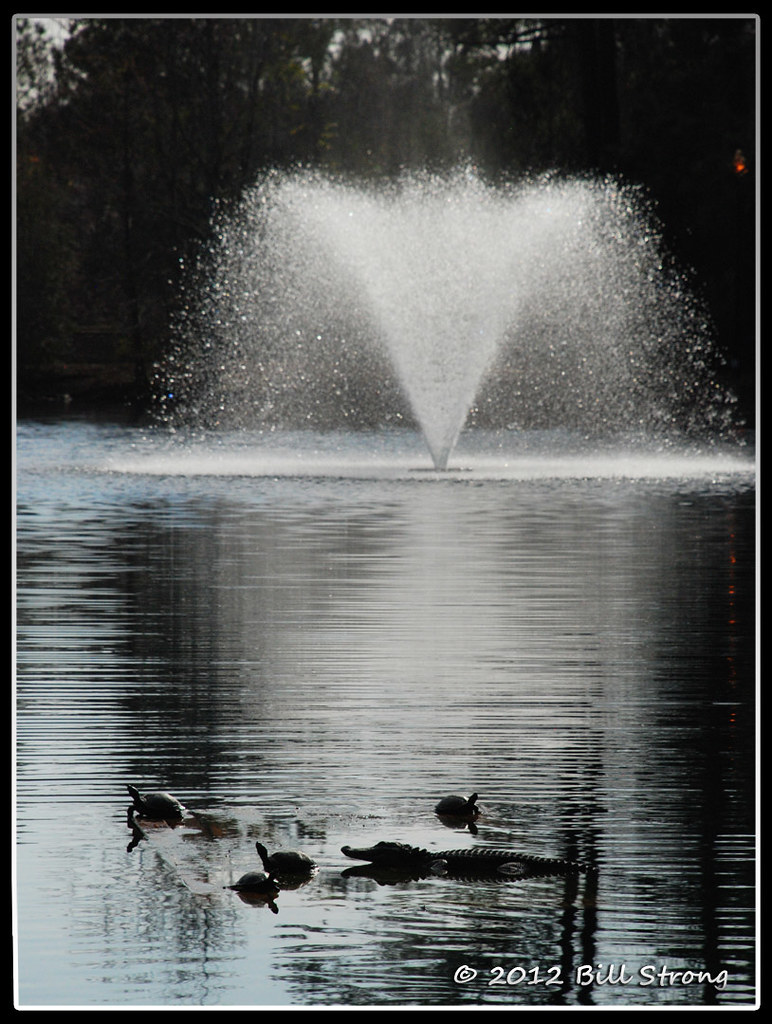
Critters and Fountain

Frampton Plantation House
#Monterapose #plantation

We are now literally driving off into the sunset. #RVadventures

2012-11-10_13-55-22_335

2012-11-10_13-53-46_749

Snowy Landscape
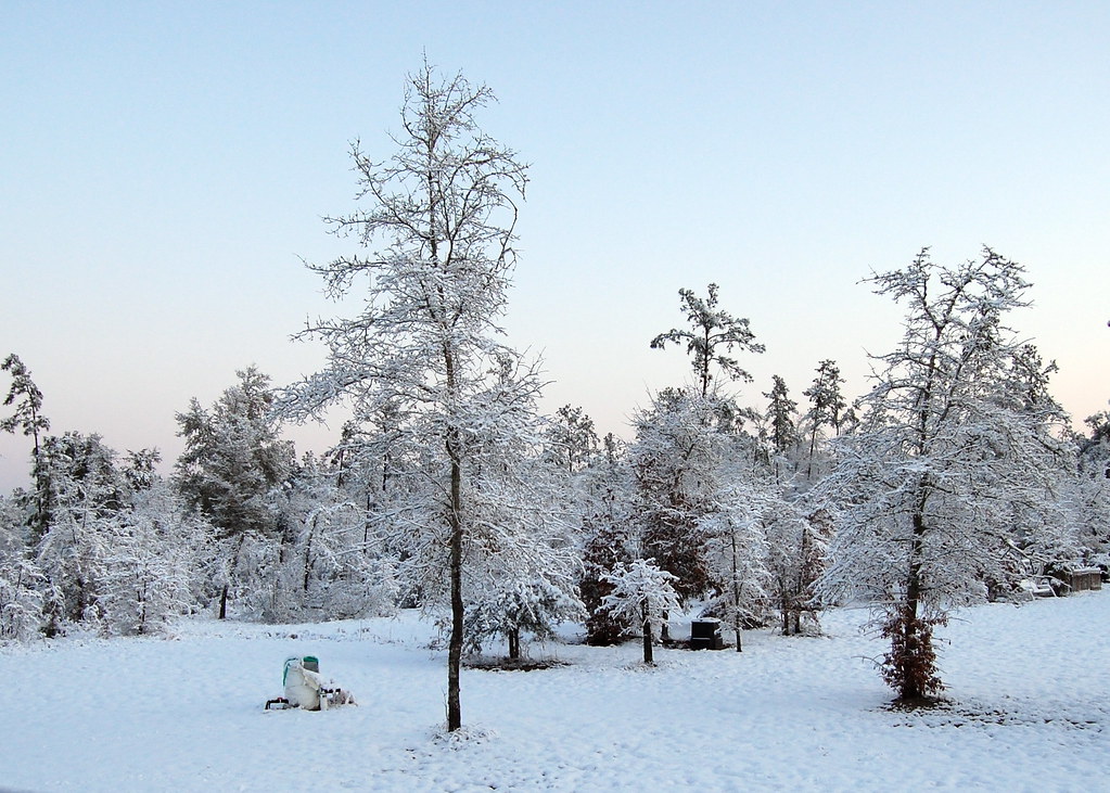
Snowy Landscape

Forest Pond

Snowy Landscape
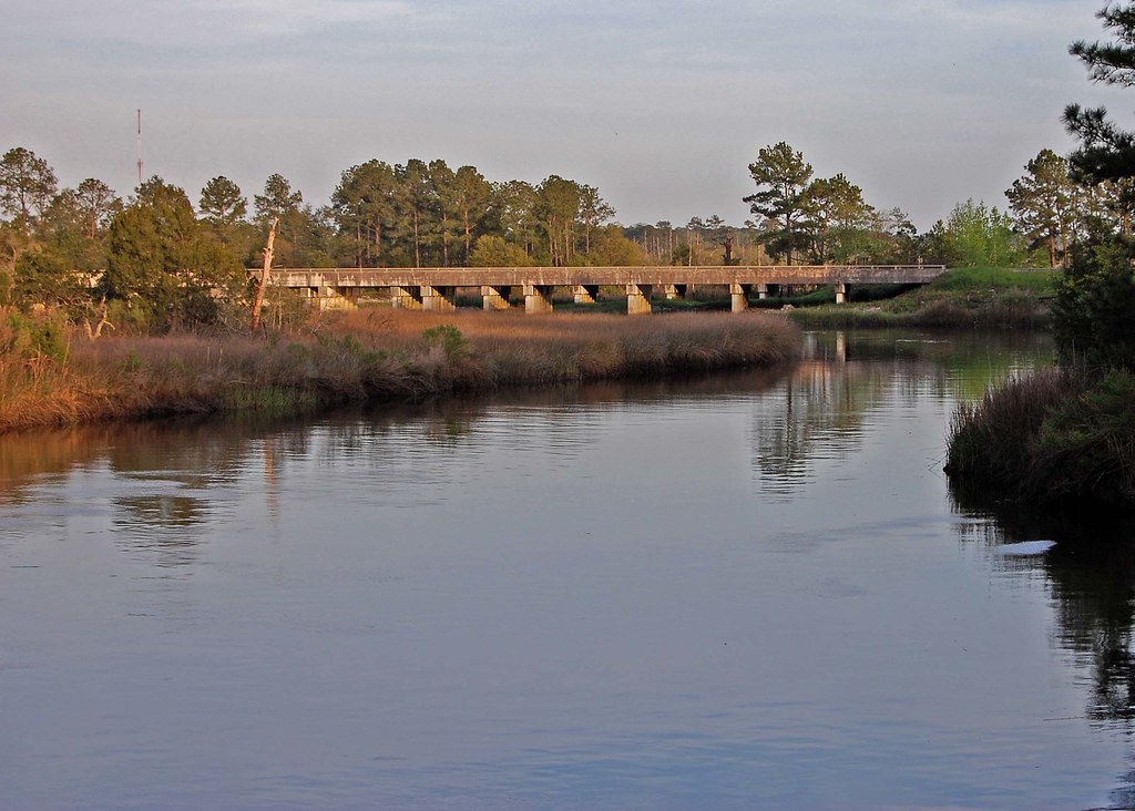
I-95 Over the Coosawhatchie

Fossil island
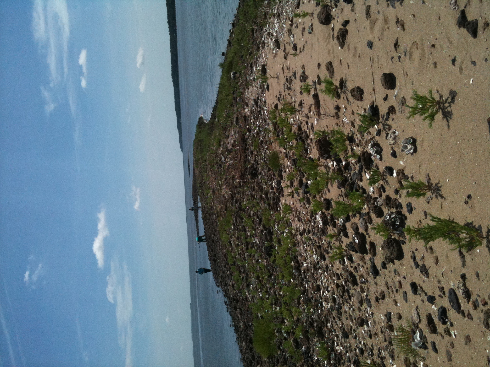
Fossil island
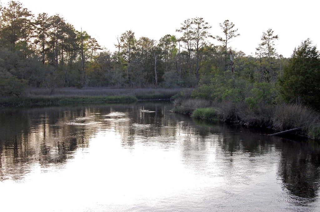
Coosawhatchie River
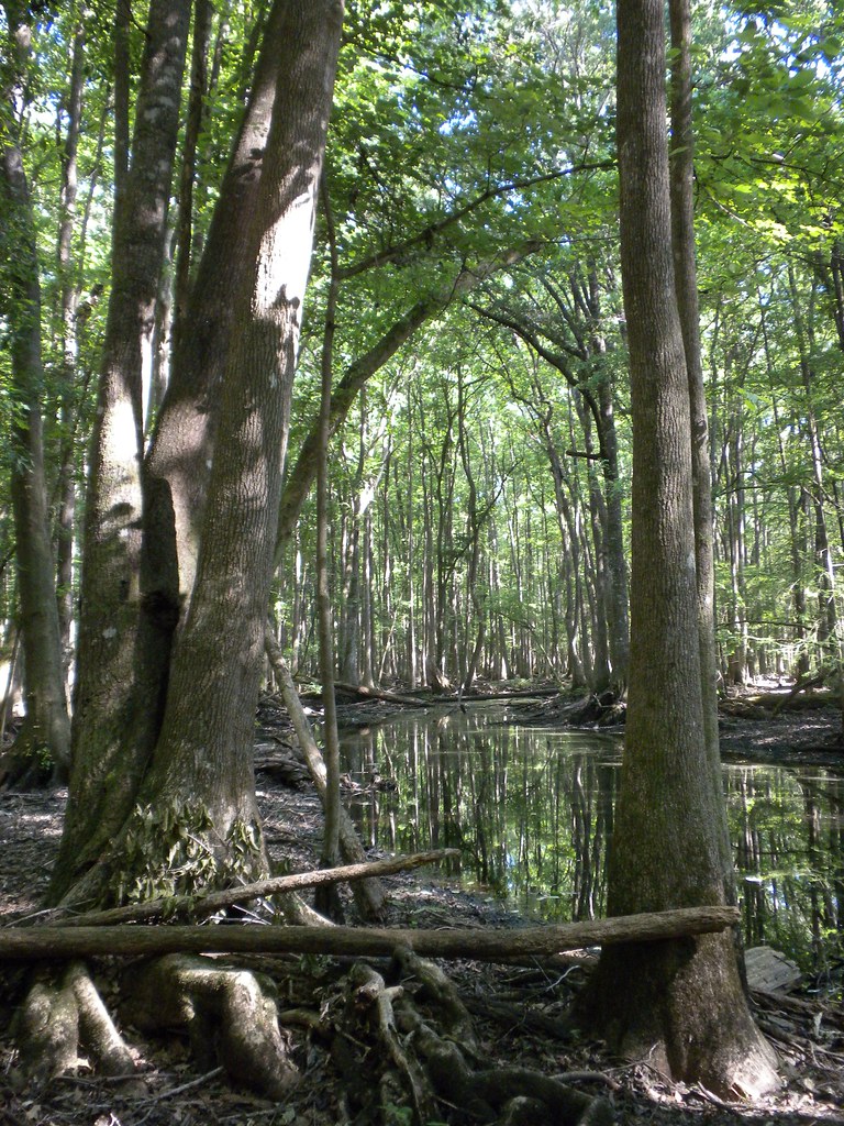
tupelo gut
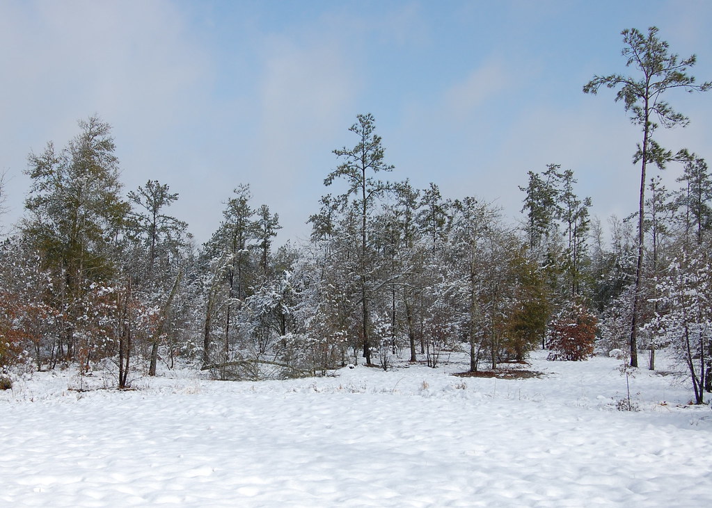
Snowy Landscape
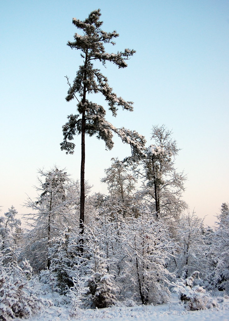
Snowy Landscape
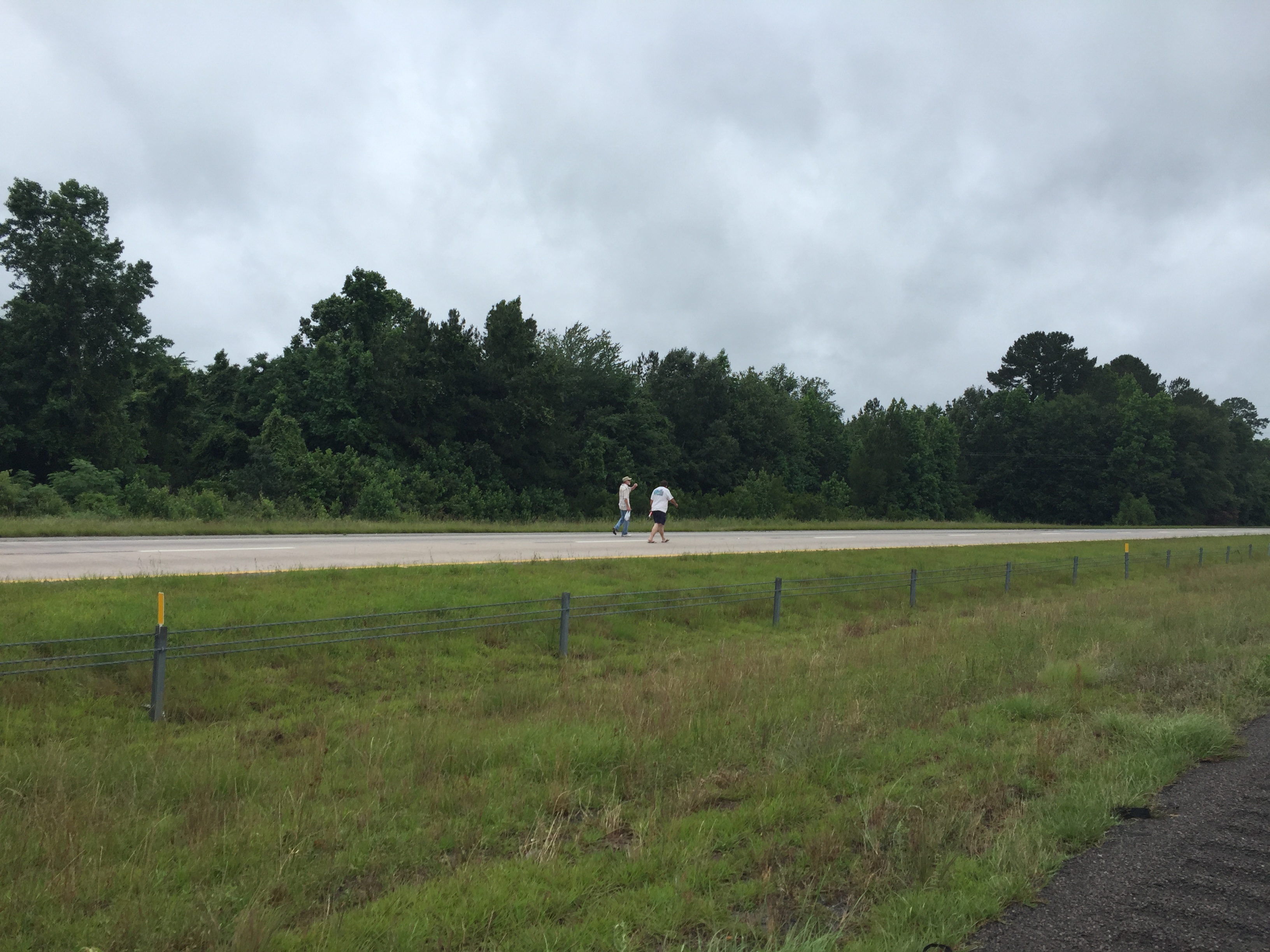
walking the interstate
IMG_0034.jpg
Topographic Map of Langfordville Rd, Ridgeland, SC, USA
Find elevation by address:

Places near Langfordville Rd, Ridgeland, SC, USA:
58 State Rd S-27-16, Early Branch, SC, USA
7459 Bees Creek Rd
Mcphersonville
48 Courtney Ln
Frampton Plantation House
Knowles Island Road
54 Broad River Road
416 Palm Key Pl
437 Broad River Road
325 Coosaw Way
330 Coosaw Way
330 Coosaw Way #20
330 Coosaw Way #20
Palm Key
397 Coosaw Way
315 Coosaw Way
397 Coosaw Way
461 Broad River Road
Cassique Creek Dr, Ridgeland, SC, USA
90 Cassique Creek Dr
Recent Searches:
- Elevation of Kambingan Sa Pansol Atbp., Purok 7 Pansol, Candaba, Pampanga, Philippines
- Elevation of Pinewood Dr, New Bern, NC, USA
- Elevation of Mountain View, CA, USA
- Elevation of Foligno, Province of Perugia, Italy
- Elevation of Blauwestad, Netherlands
- Elevation of Bella Terra Blvd, Estero, FL, USA
- Elevation of Estates Loop, Priest River, ID, USA
- Elevation of Woodland Oak Pl, Thousand Oaks, CA, USA
- Elevation of Brownsdale Rd, Renfrew, PA, USA
- Elevation of Corcoran Ln, Suffolk, VA, USA