Elevation of Langford Rd, Alva, FL, USA
Location: United States > Florida > Lee County > Alva >
Longitude: -81.629071
Latitude: 26.693533
Elevation: 5m / 16feet
Barometric Pressure: 101KPa
Elevation Map:
Satellite Map:
Related Photos:
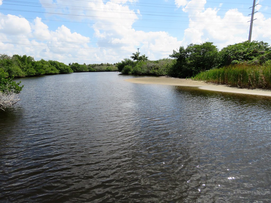
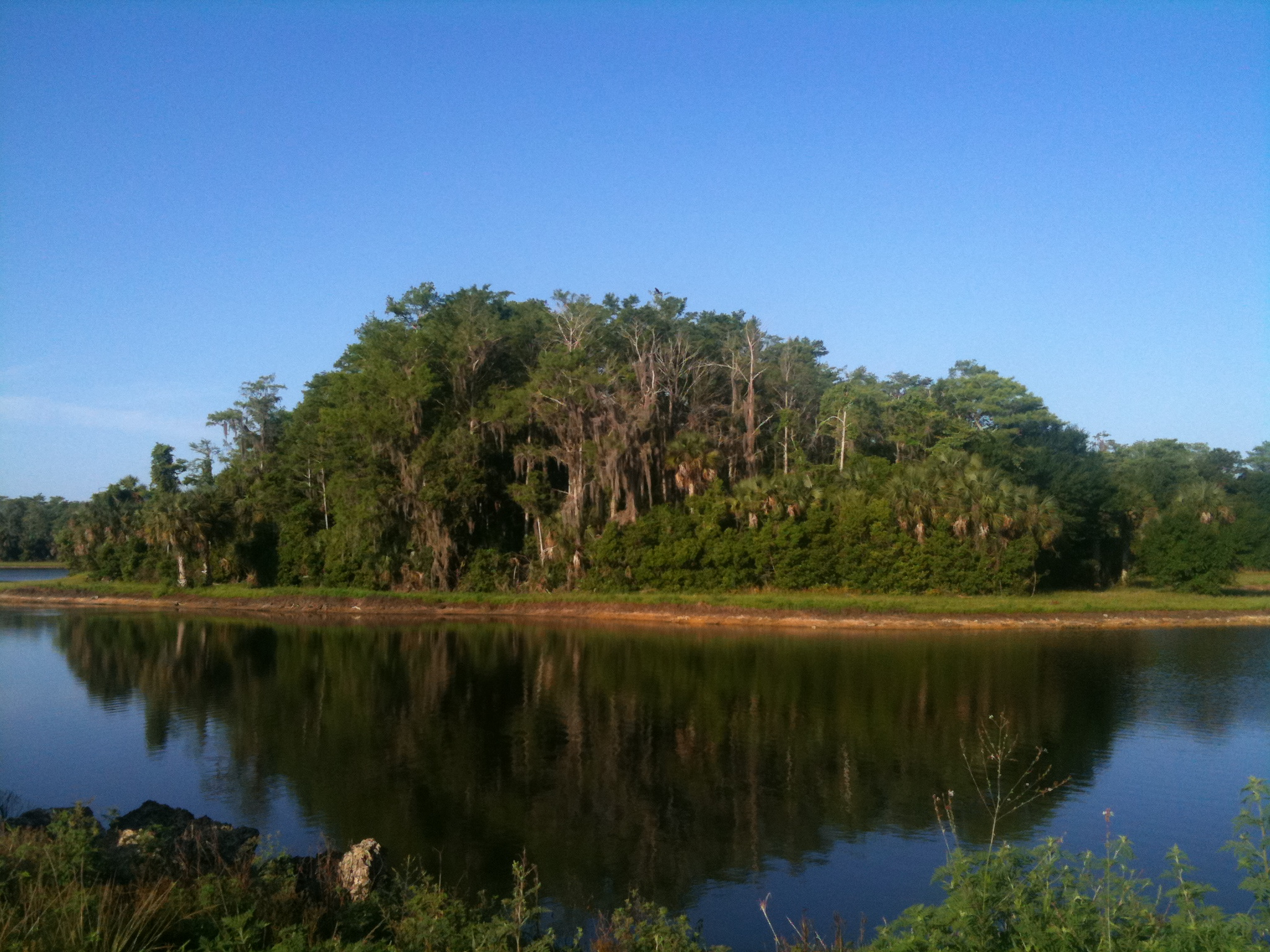
Orange River

Florida Power and Light Company
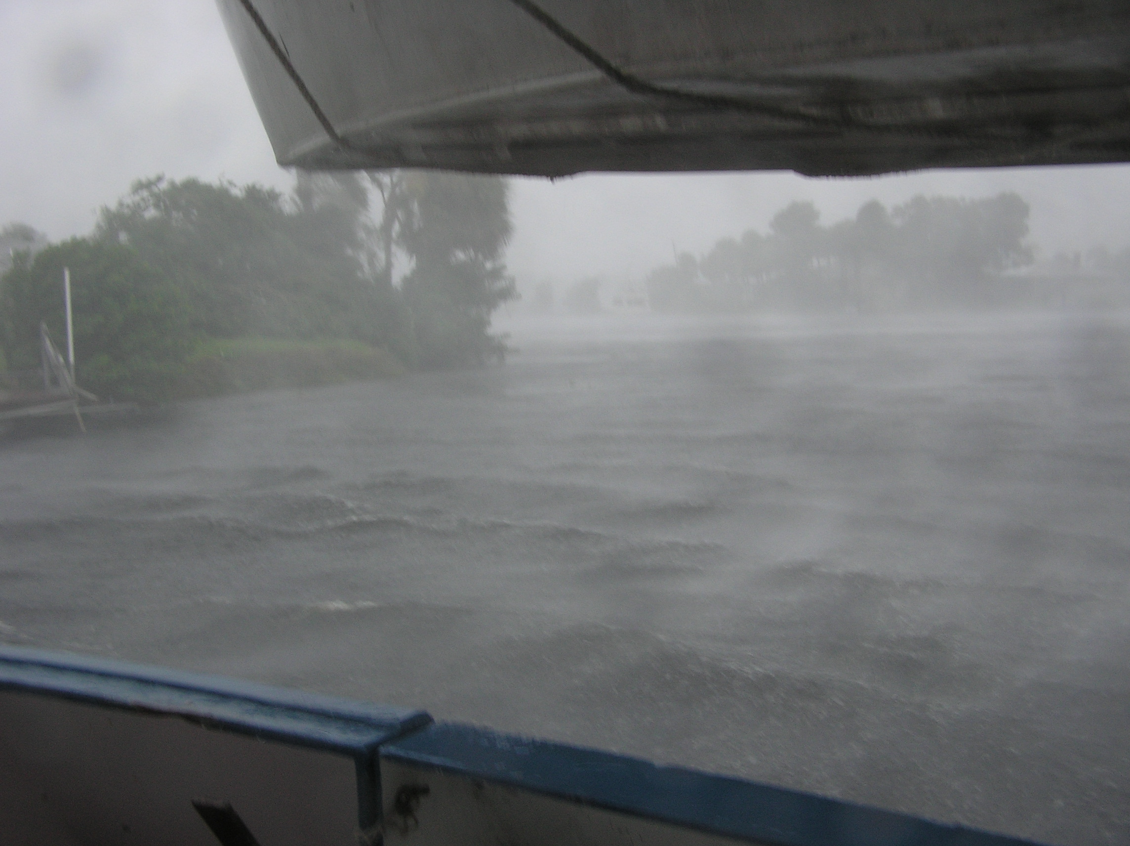
Hurricane Charley 2

I am going to miss this view. #Palms #Florida #Sun
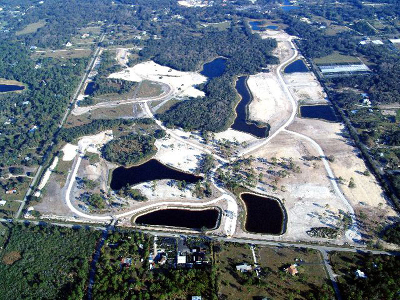
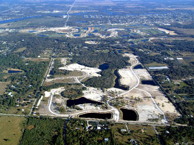
Horse Creek Subdivision Aerial View 1
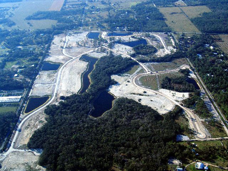
Horse Creek Subdivision Aerial View 4

Horse Creek Subdivision Aerial View 7
Horse Creek Subdivision Aerial View 6
Horse Creek Subdivision Aerial View 5

Horse Creek Subdivision Aerial View 8
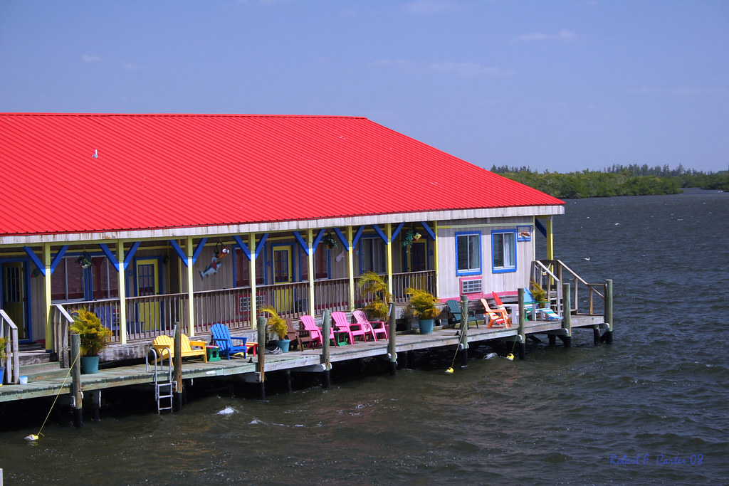
Floating Motel
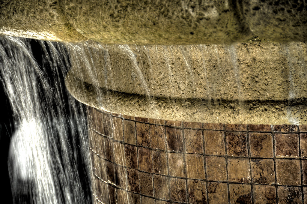
Fountain HDR

The Caloosahatchee from the Alva Bridge

Mottled Duck
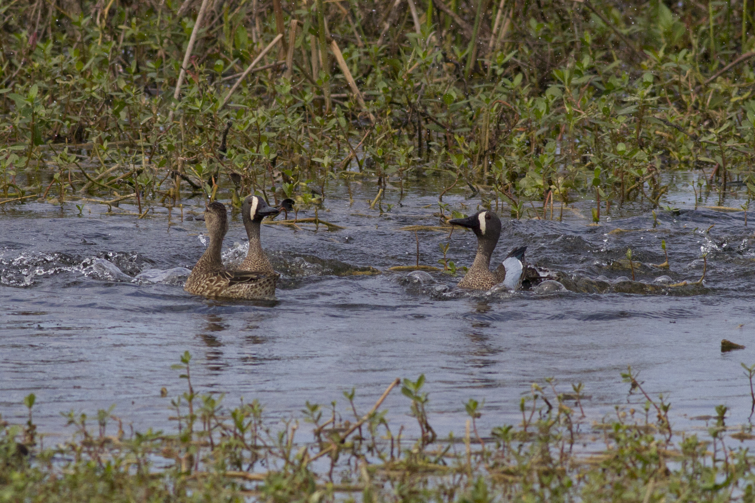
Blue-winged Teals
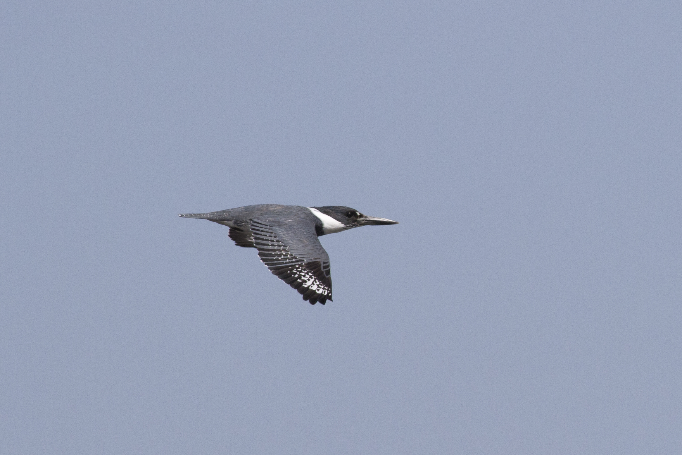
Belter Kingfisher

A view from Above. I used a a GoPro Hero 3+ Black Edition, a HQ Invento 2 meter Delta with 1000' 150 Lbs. Kevlar line on a Brooxes Picavet. Veterans Park, Lehigh Acres, FL. (10/23/2015).
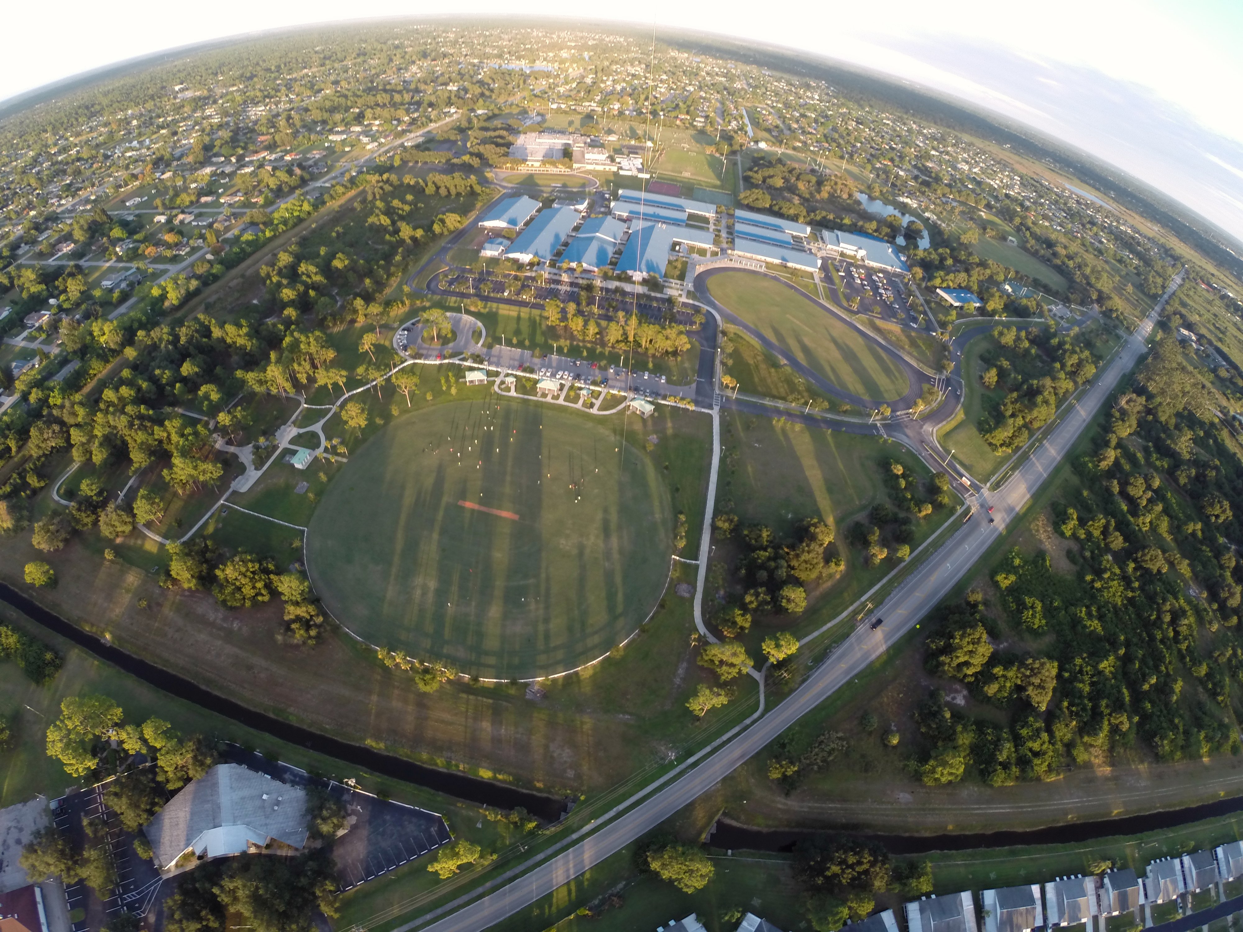
A view from above. I used a GoPro Hero 3+ Black Edition a HQ Invento 2 Meter Delta with 1000 ft. 150 Lbs. Kevlar line.
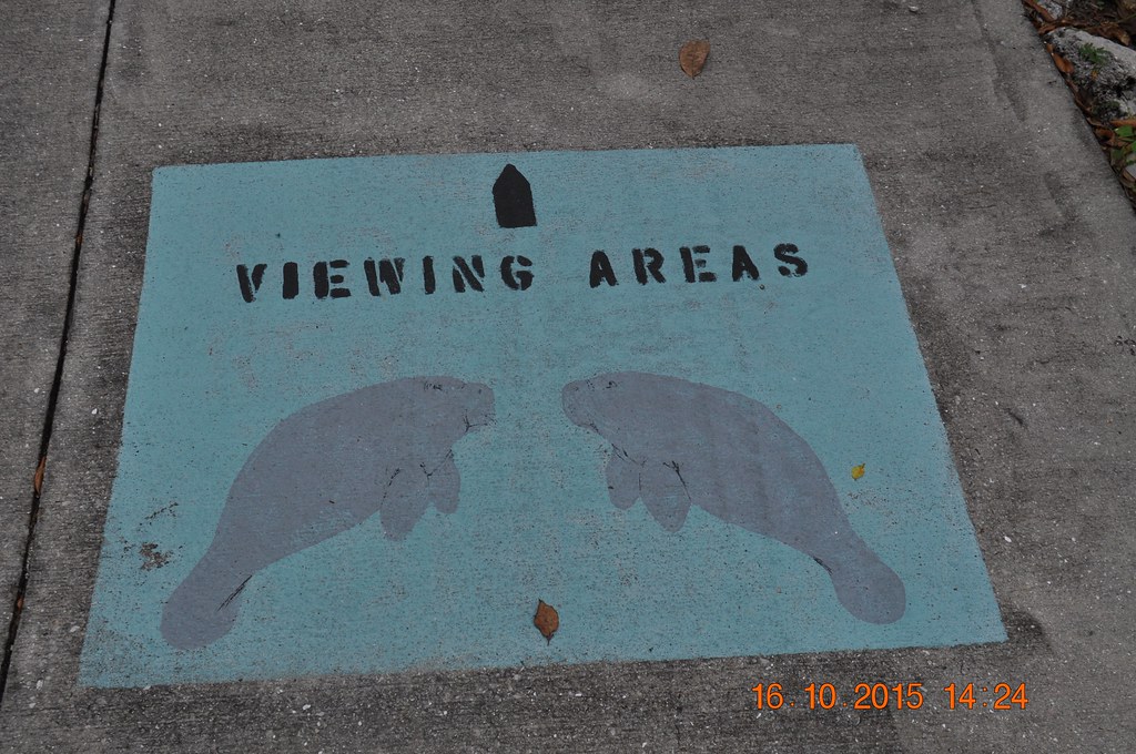
2015 October 16, Manatee Park Fort Myers

Blue-winged Teals
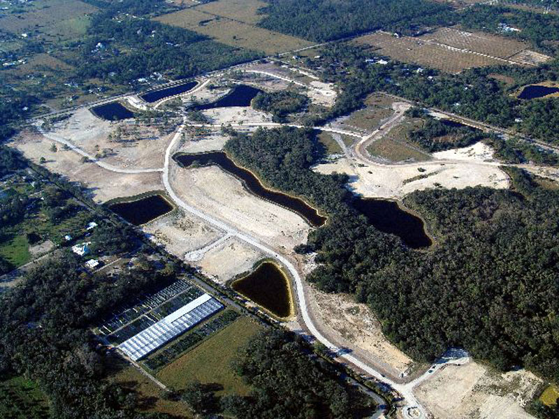
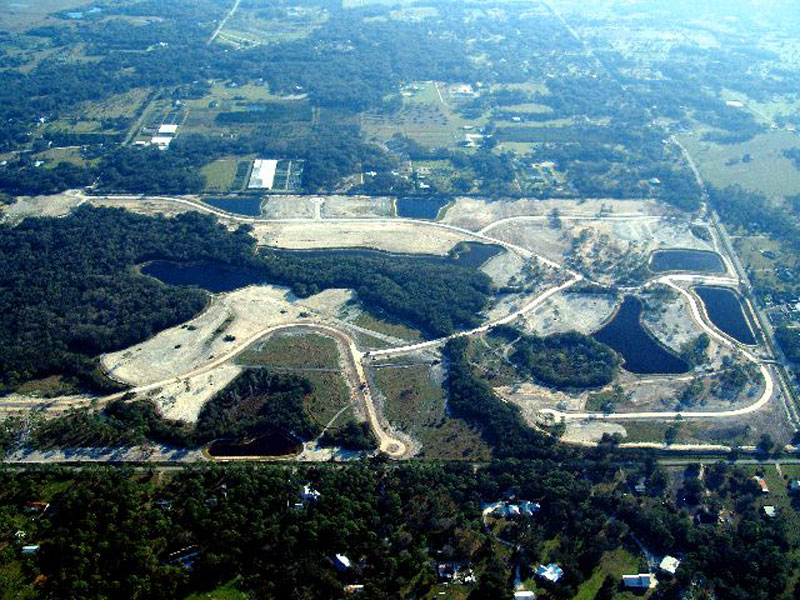
Horse Creek Subdivision Aerial View 3

American Bittern

White Peacock (Anartia jatrophae)
Have a nice day - traffic

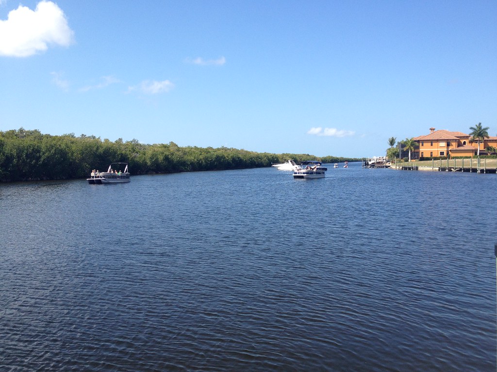
Caloosahatchee River
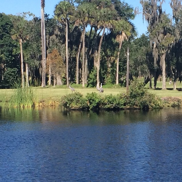
Sandhill Cranes on an oxbow.
Photograph from AroundShare.com

Savannah Sparrow

Palm Warbler
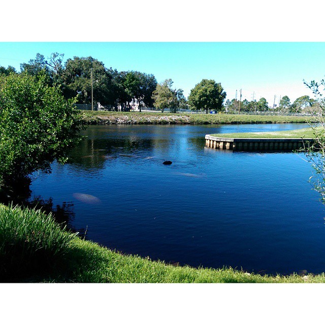
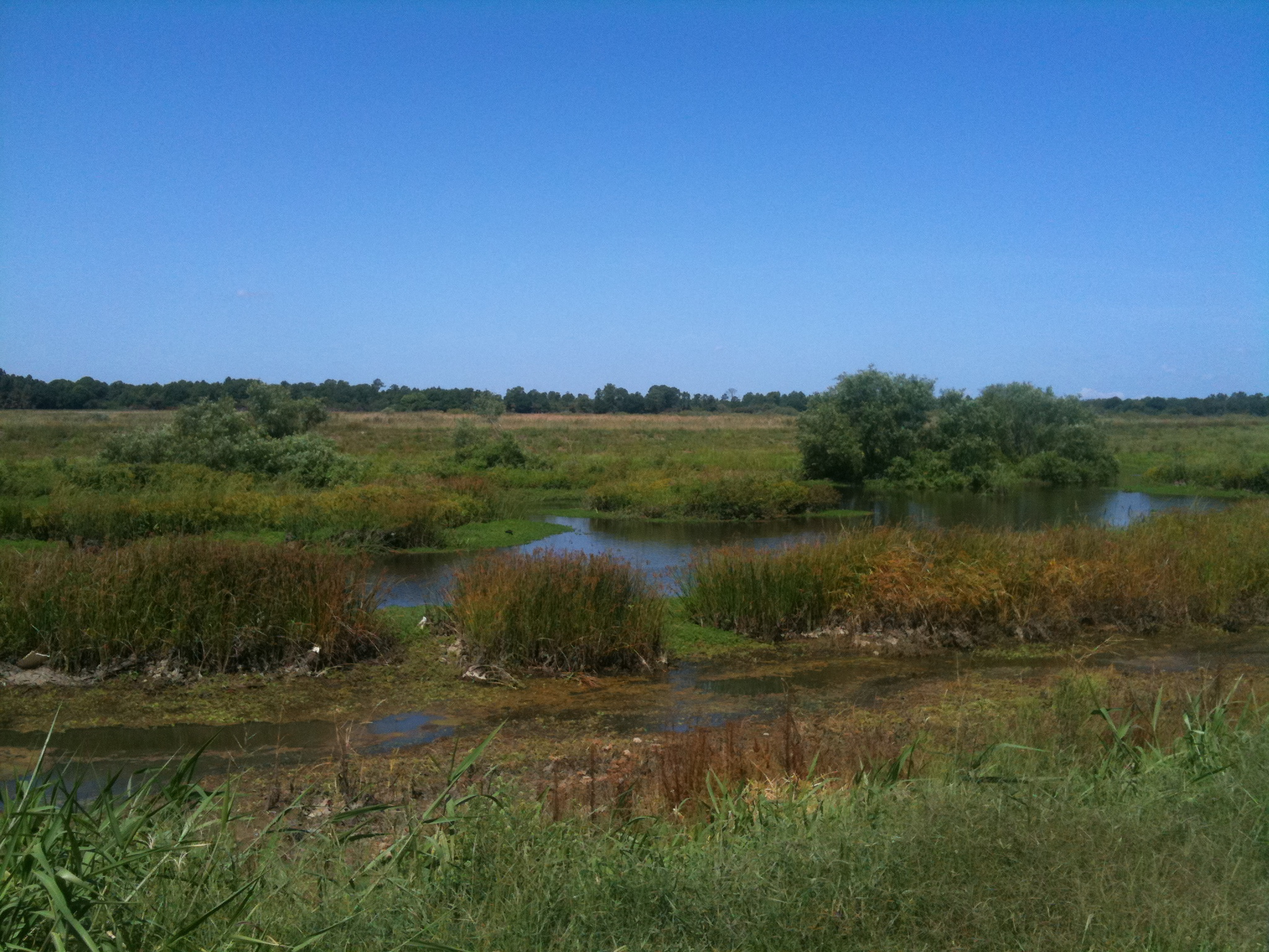
Harns Marsh

Caloosahatchee Regional Park

Caloosahatchee River

Camera Roll-131
Harns Marsh Cypress Dome
Harns Marsh
Camera Roll-160
Camera Roll-152
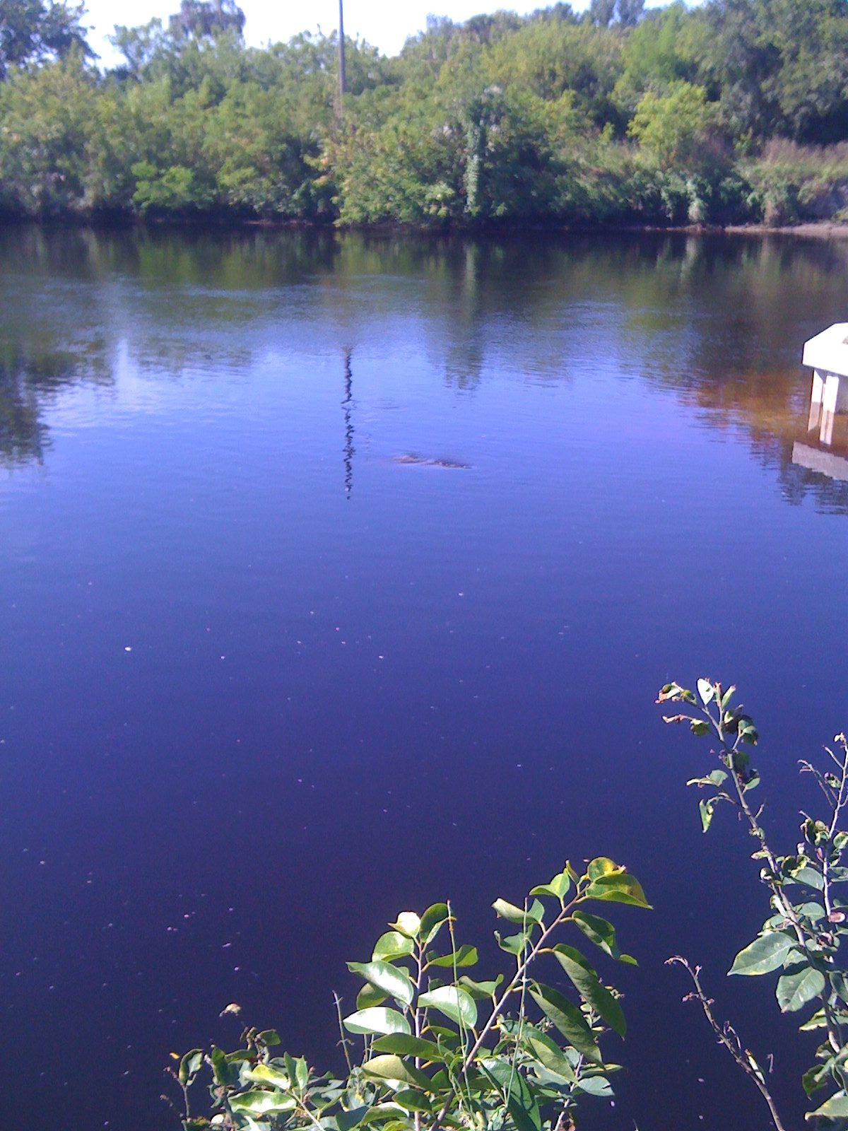
Manatee watching.
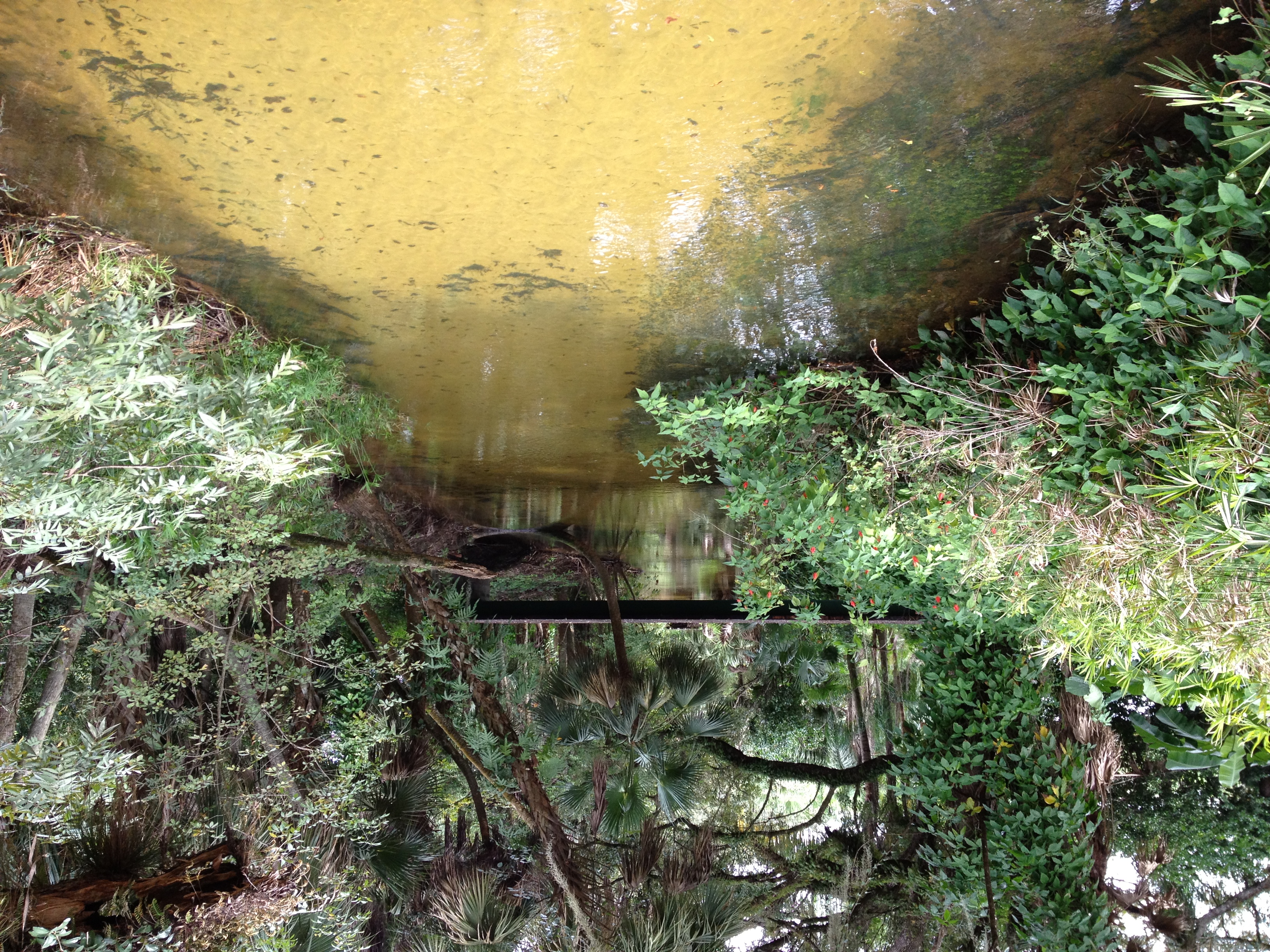
Bedman's creek in my backyard
Camera Roll-161
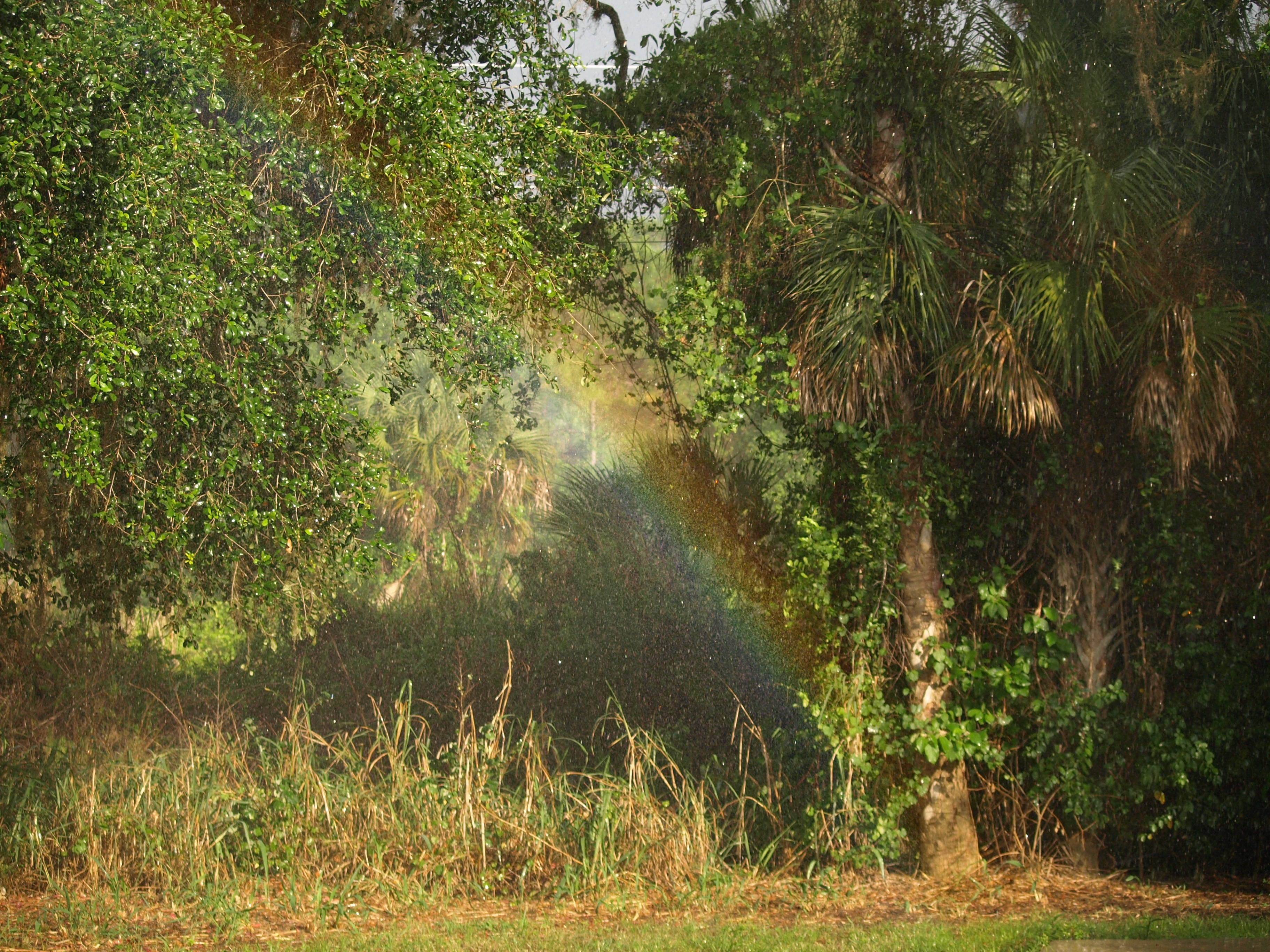
110504 Backyard Rainbow 2
Oh , she saw me!
Topographic Map of Langford Rd, Alva, FL, USA
Find elevation by address:

Places near Langford Rd, Alva, FL, USA:
19730 Little Ln
3001 Bateman Rd
2200 Owanita Rd
Bateman Road
555 Windermere Dr
Alva
Broadway St, Alva, FL, USA
124 Greenbriar Blvd
1506 Greenwood Ave
1502 Greenwood Ave
2304 Jackson Ave
901 East 15th Street
Lehigh Acres, FL, USA
1600 State Ave
1314 Lincoln Ave
22901 Tuckahoe Rd
1307 Prospect Ave
2131 Hickeys Creekside Dr
Second St, Alva, FL, USA
Charleston Park
Recent Searches:
- Elevation of Rojo Ct, Atascadero, CA, USA
- Elevation of Flagstaff Drive, Flagstaff Dr, North Carolina, USA
- Elevation of Avery Ln, Lakeland, FL, USA
- Elevation of Woolwine, VA, USA
- Elevation of Lumagwas Diversified Farmers Multi-Purpose Cooperative, Lumagwas, Adtuyon, RV32+MH7, Pangantucan, Bukidnon, Philippines
- Elevation of Homestead Ridge, New Braunfels, TX, USA
- Elevation of Orchard Road, Orchard Rd, Marlborough, NY, USA
- Elevation of 12 Hutchinson Woods Dr, Fletcher, NC, USA
- Elevation of Holloway Ave, San Francisco, CA, USA
- Elevation of Norfolk, NY, USA