Elevation of Langford Bay Rd, Chestertown, MD, USA
Location: United States > Maryland > Kent County > 4, Chestertown > Chestertown >
Longitude: -76.168617
Latitude: 39.133849
Elevation: 3m / 10feet
Barometric Pressure: 101KPa
Elevation Map:
Satellite Map:
Related Photos:
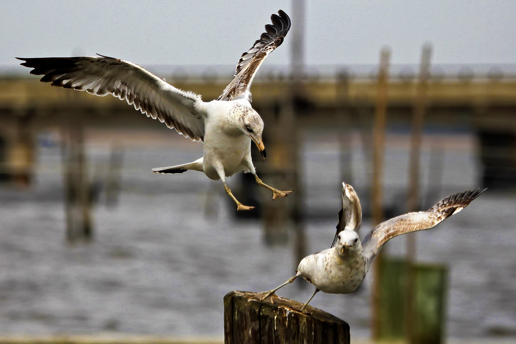
Rude Arrival

Vestry House, 1766
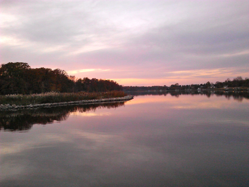
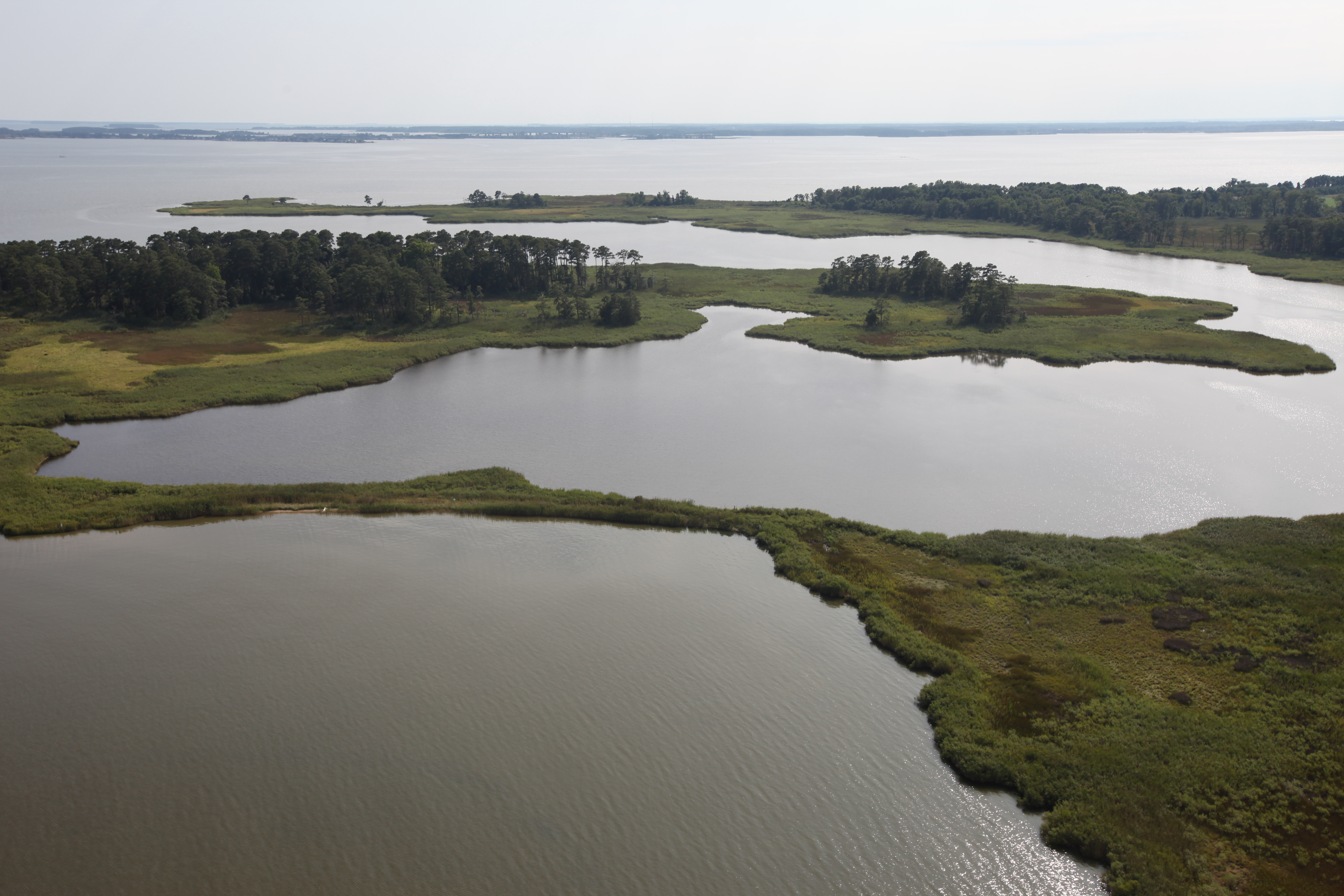
View of Corsica River
View of Corsica River
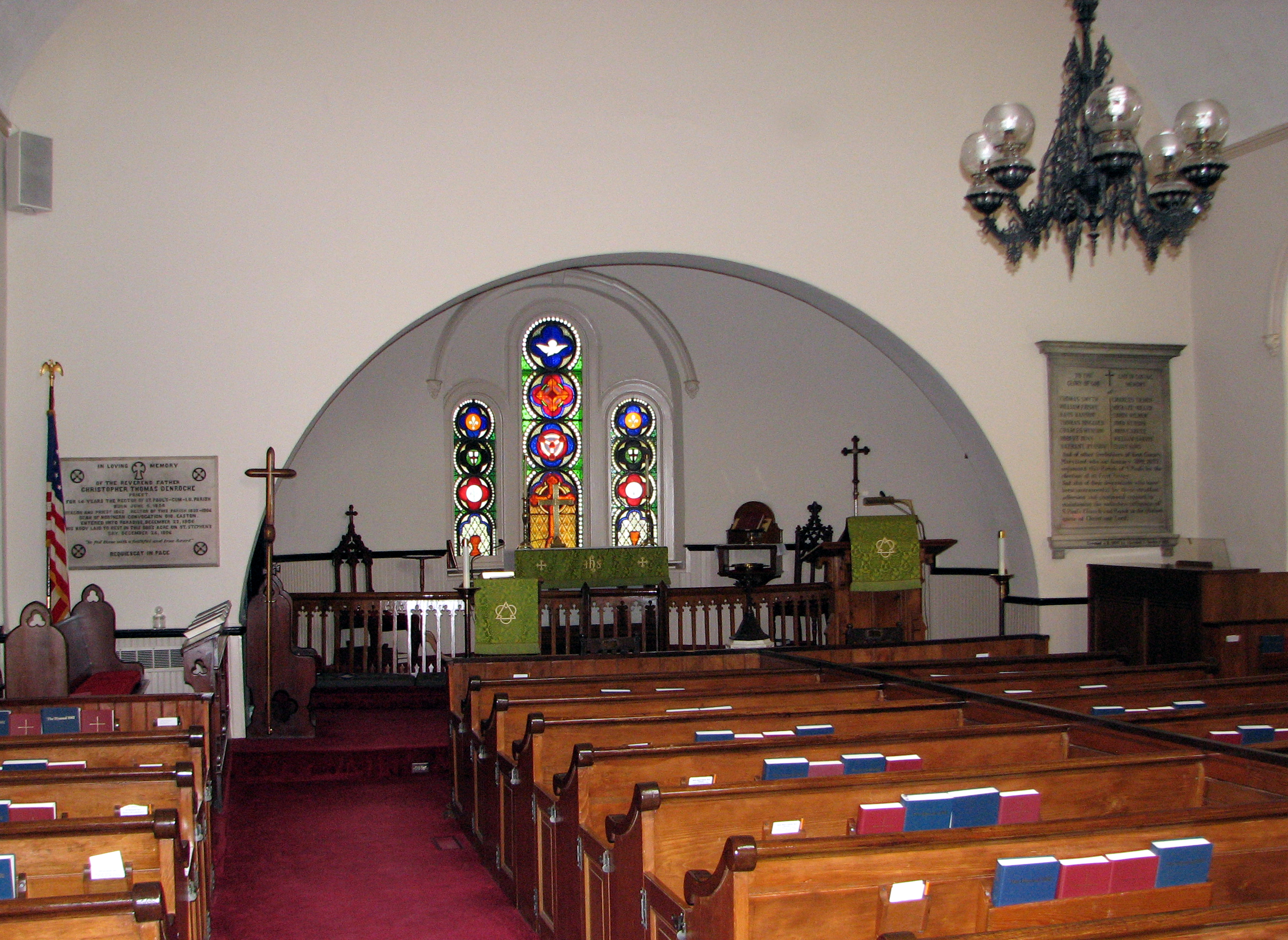
St. Paul's Episcopal Church, Kent County, Maryland

Ghost Railroad
In the distance

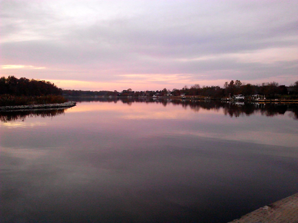
View of Corsica River
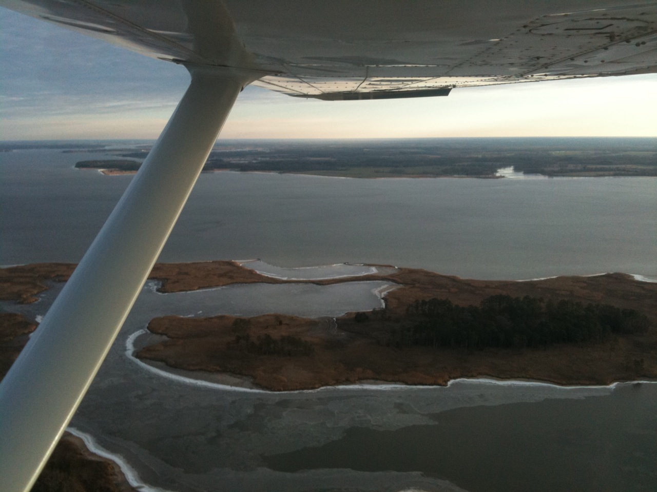
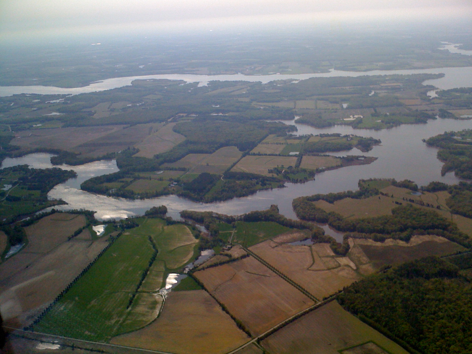
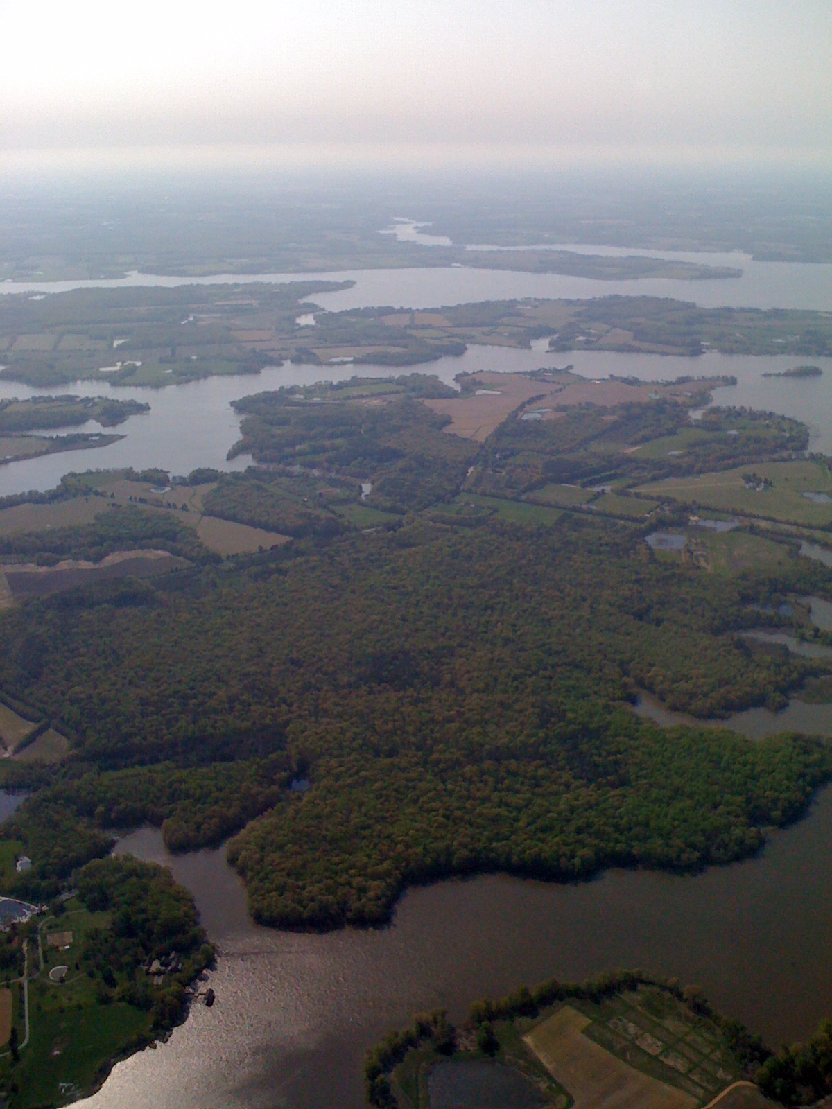
Aerial view of Hale Cove

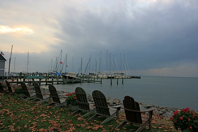
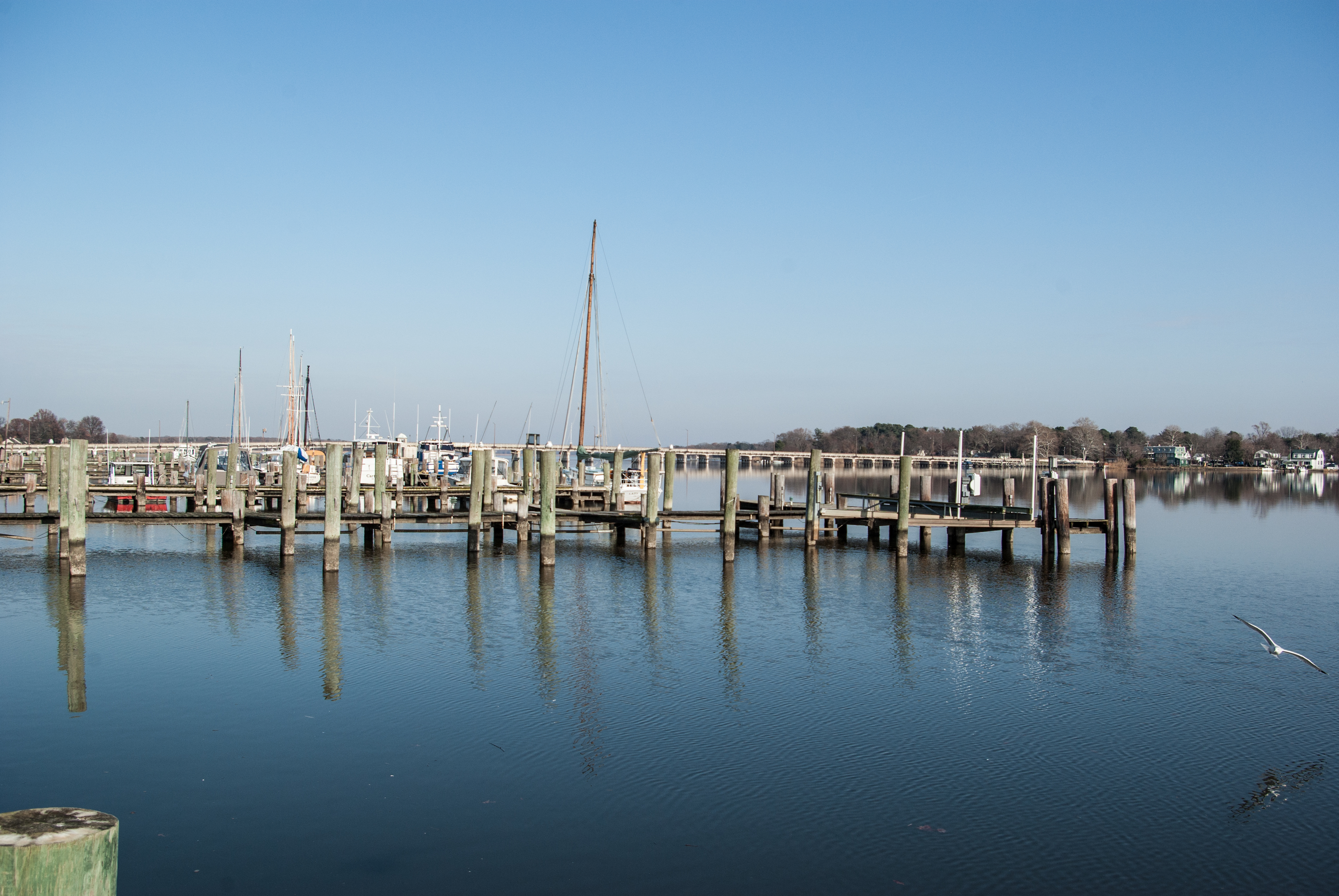
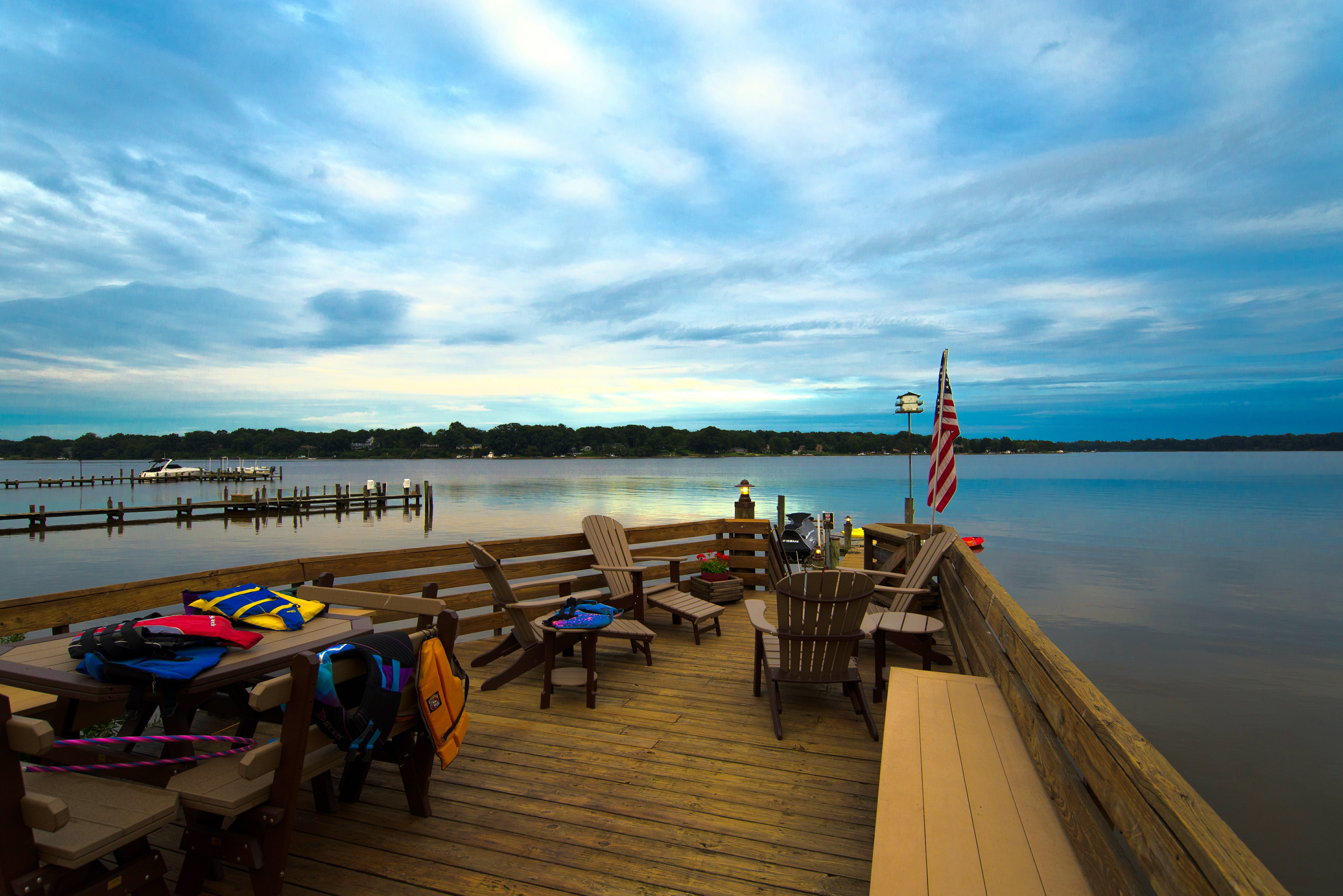
View from Pier

BUDWEISER CLYDESDALES 18 WHEELER

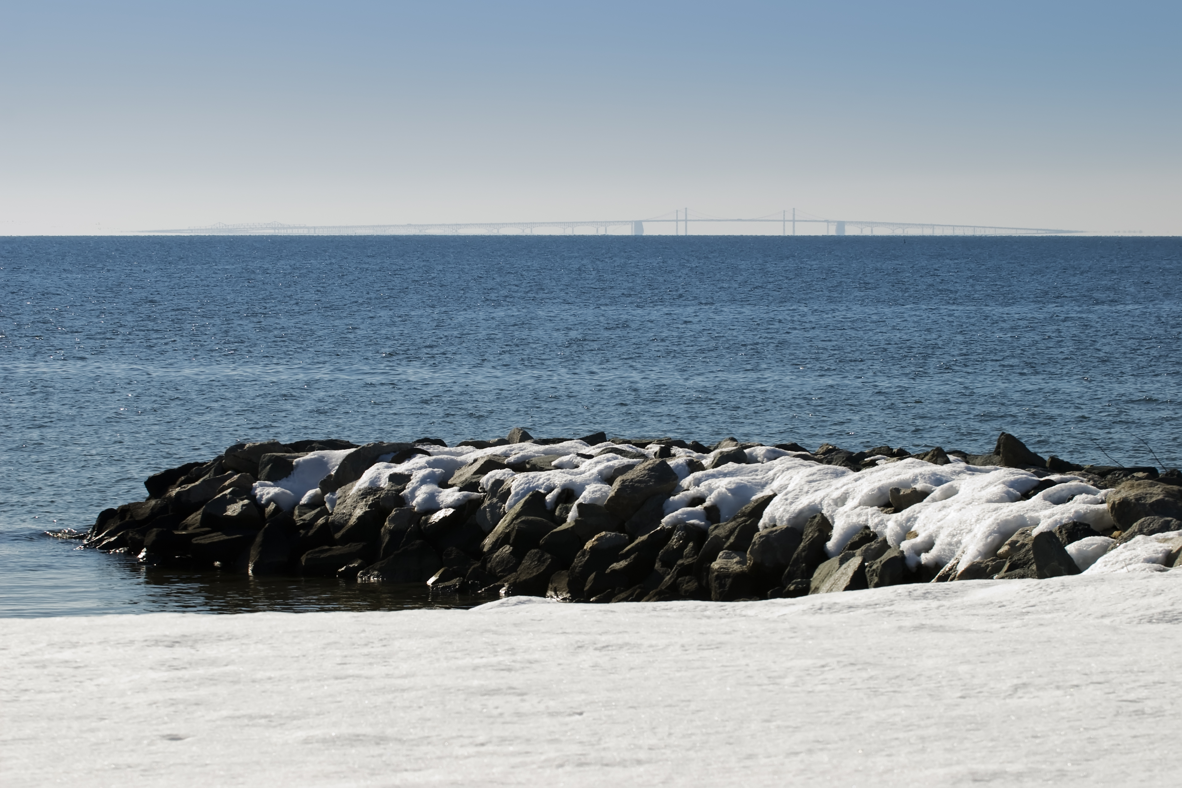
Eastern Neck NWR near Rock Hall MD

1955 OLDSMOBILE

Rear-1- View of 4 Houses
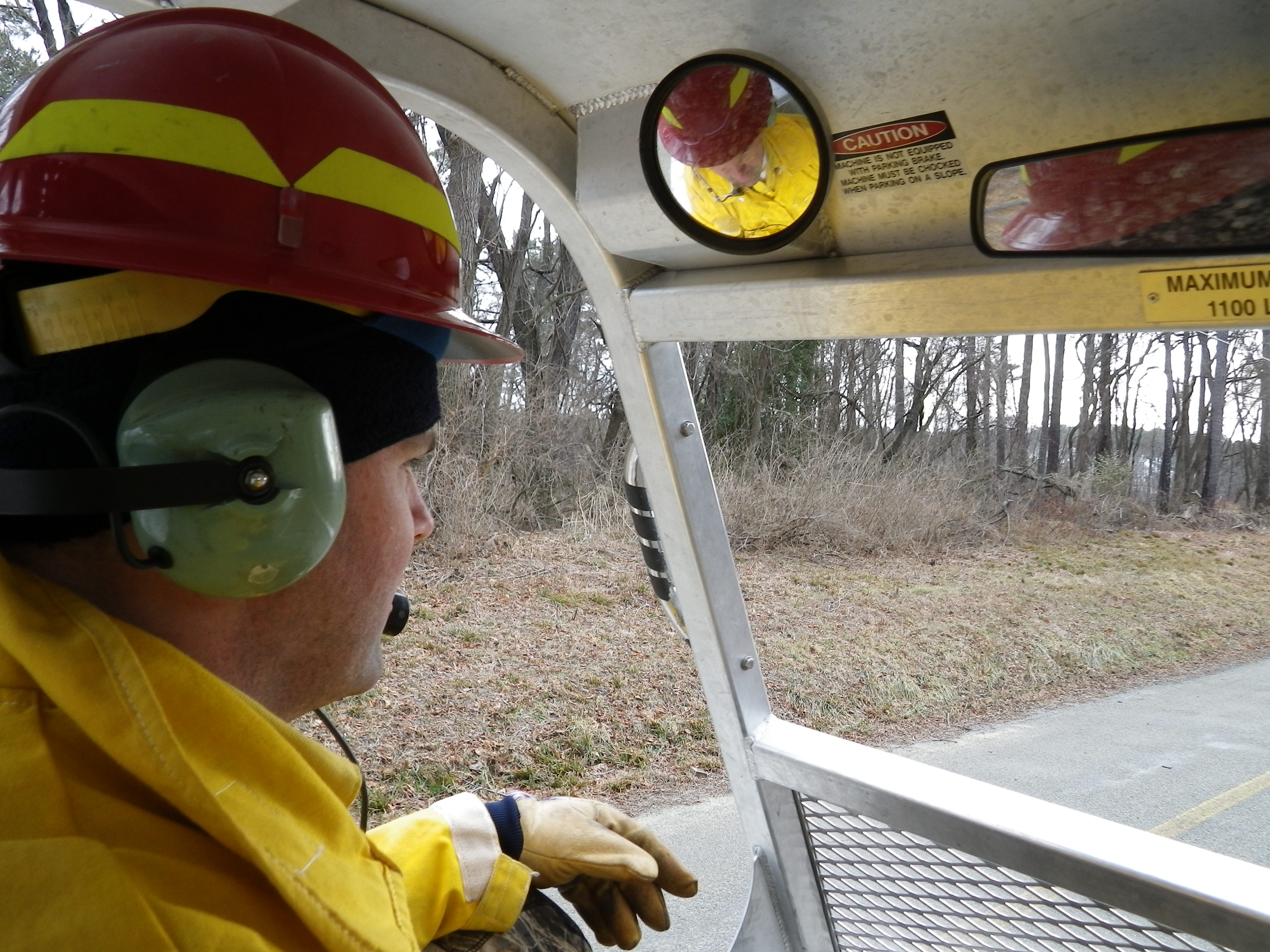
View from inside Marshmaster
Rock Hall, MD
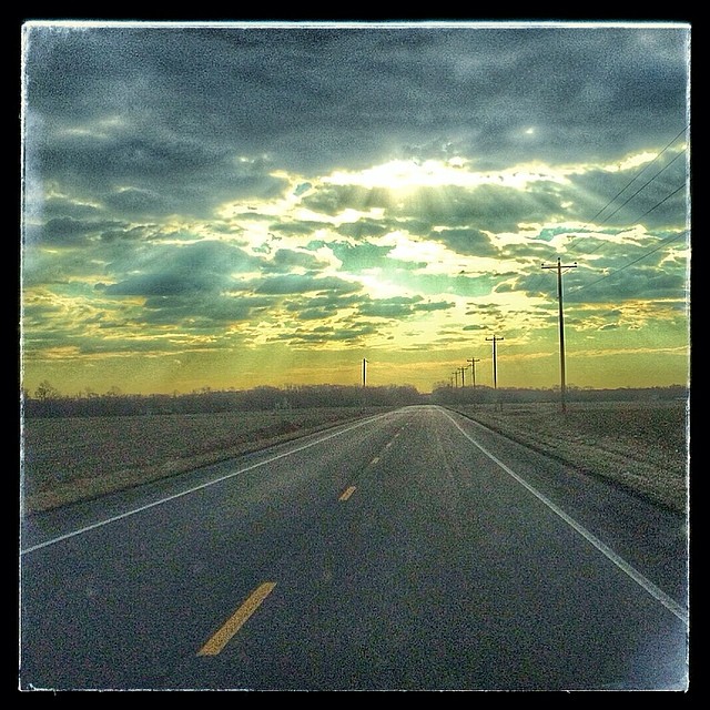
Image created with #Snapseed
Day 3 of the trip 536
Rock Hall, MD
IMG_0361.JPG
123/365 103109
IMG_0362.JPG

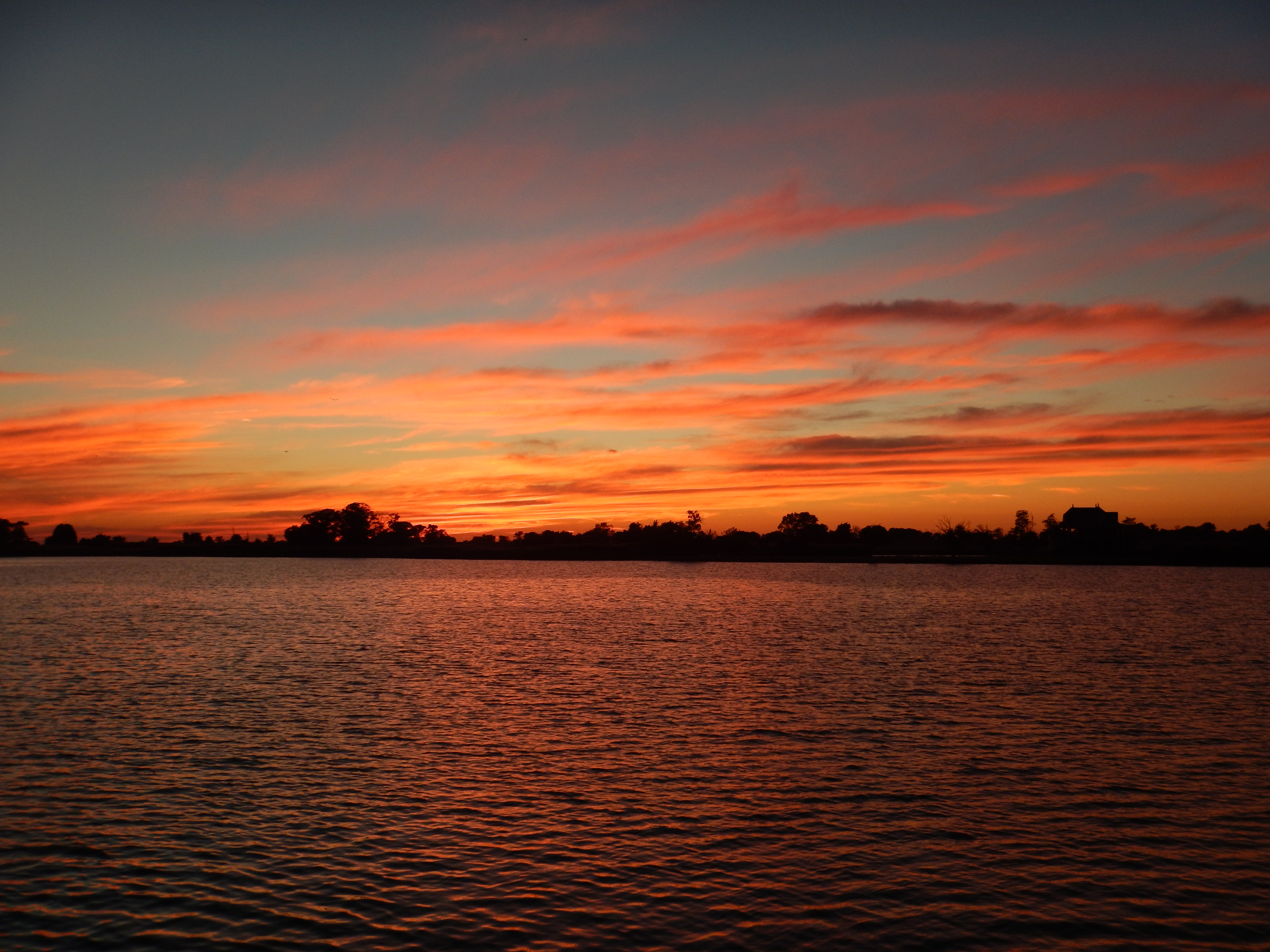
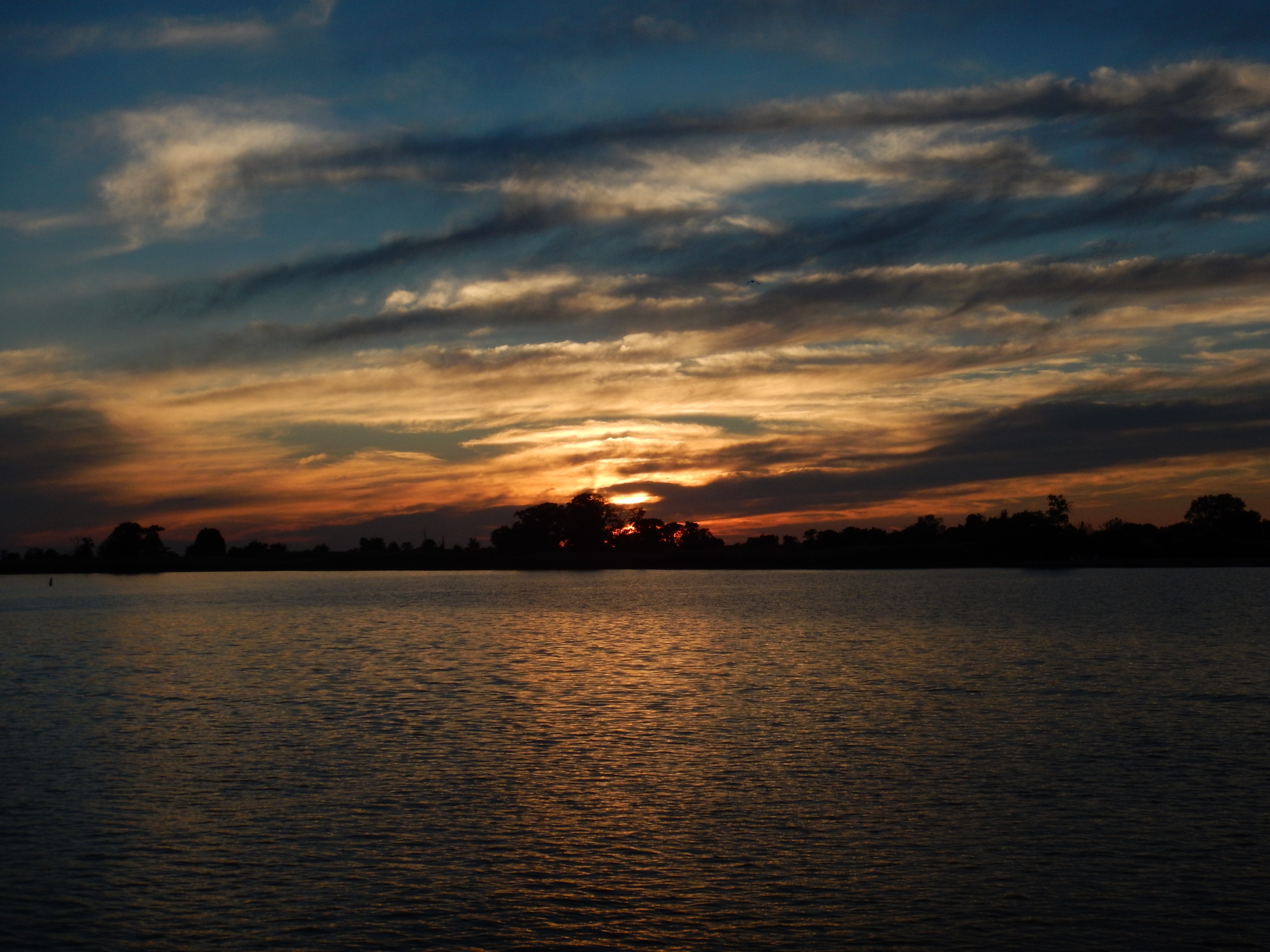
Sunset over the bay
Sunset on the Chesapeake Bay

Sunset, crab boil & bluegrass - good day #forkarl
Rock Hall, MD

Sunset on the bay
Chester River
Day 3 of the trip 575

Canada geese and snow geese in agriculture field 01

DSC_3659.JPG
Hail Cove, Maryland
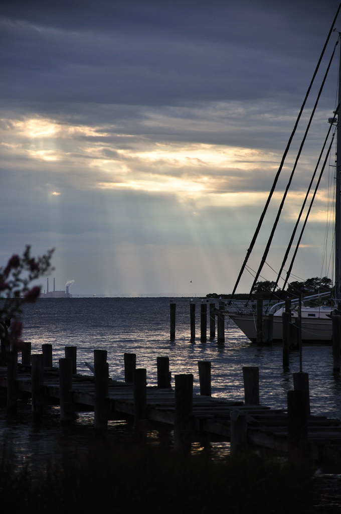
Dusk on the River

River, USA

Eastern Neck NWR - Dock Sunset (3 of 5)

Plastic barrel in Eastern Neck National Wildlife Refuge
Topographic Map of Langford Bay Rd, Chestertown, MD, USA
Find elevation by address:

Places near Langford Bay Rd, Chestertown, MD, USA:
22779 Mckinleyville Rd
4746 Cliffs City Rd
4849 Cliffs City Rd
4849 Cliffs City Rd
4845 Cliffs City Rd
Hynson Rogers Rd, Chestertown, MD, USA
22056 Kelleys Park Rd
Reeses Corner Rd, Rock Hall, MD, USA
7250 Pentridge Ln
Johnsontown Rd, Chestertown, MD, USA
21460 E Sharp St
21457 E Sharp St
Ricauds Branch Rd, Chestertown, MD, USA
Quaker Neck Landing Rd, Chestertown, MD, USA
Town Point Ln, Centreville, MD, USA
Rock Hall
5751 Liberty St
7, Pomona
Henry Avenue
Quaker Neck Landing Rd, Chestertown, MD, USA
Recent Searches:
- Elevation of Felindre, Swansea SA5 7LU, UK
- Elevation of Leyte Industrial Development Estate, Isabel, Leyte, Philippines
- Elevation of W Granada St, Tampa, FL, USA
- Elevation of Pykes Down, Ivybridge PL21 0BY, UK
- Elevation of Jalan Senandin, Lutong, Miri, Sarawak, Malaysia
- Elevation of Bilohirs'k
- Elevation of 30 Oak Lawn Dr, Barkhamsted, CT, USA
- Elevation of Luther Road, Luther Rd, Auburn, CA, USA
- Elevation of Unnamed Road, Respublika Severnaya Osetiya — Alaniya, Russia
- Elevation of Verkhny Fiagdon, North Ossetia–Alania Republic, Russia