Elevation of Lanes Creek, NC, USA
Location: United States > North Carolina > Union County >
Longitude: -80.388133
Latitude: 34.8560063
Elevation: 166m / 545feet
Barometric Pressure: 99KPa
Elevation Map:
Satellite Map:
Related Photos:

Bad thing about being on the road a lot is I miss my family.good thing is views like this.

Cheerleaders, Wingate Junior College, 1930.

Palmetto Amusements Round Up, View From The Back.

Side View Of Palmetto Amusements Round Up.

Relationships, Wingate University, Yearbook photo, 1984
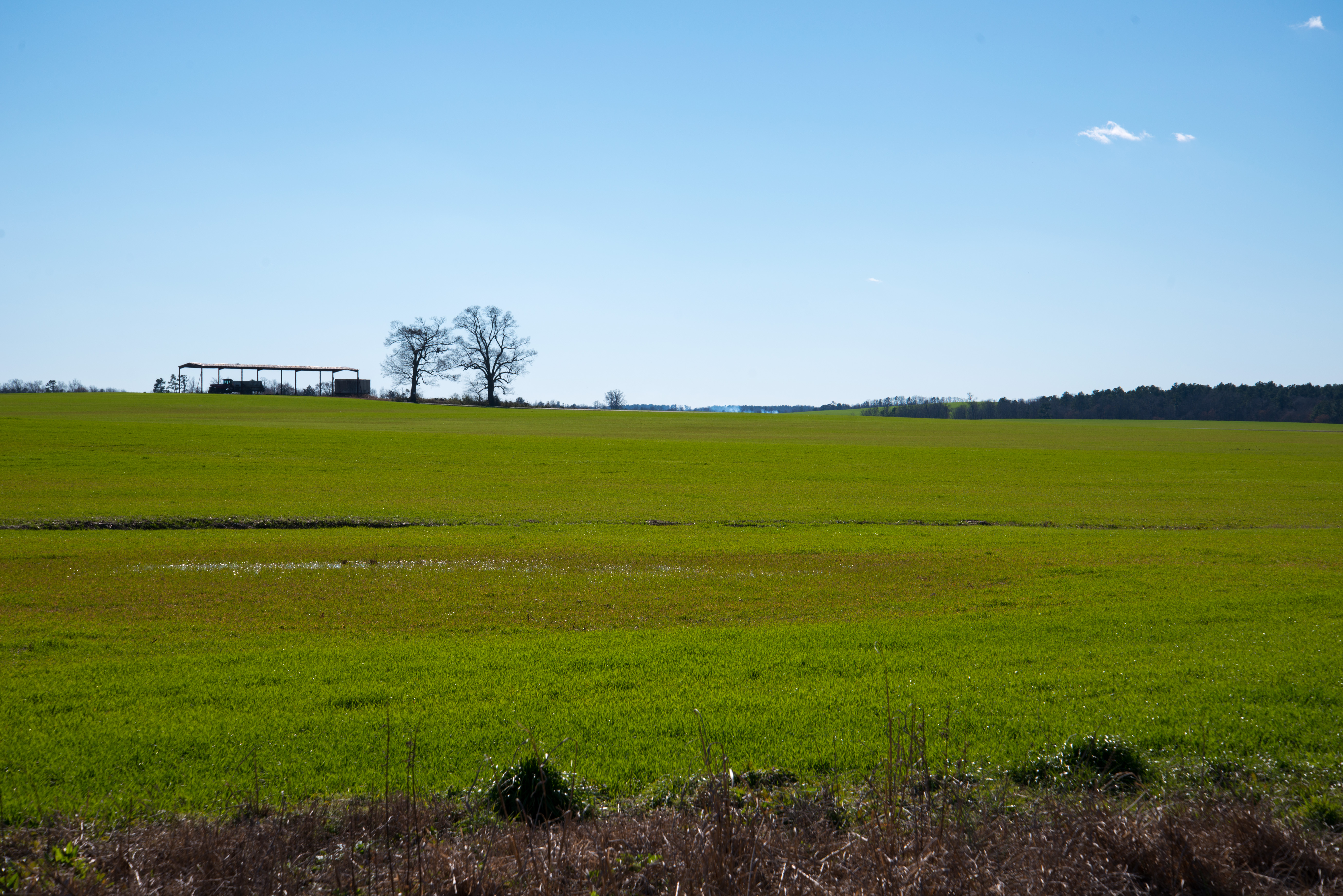
130131-0610 Sturdivants Crossroads

Snow!
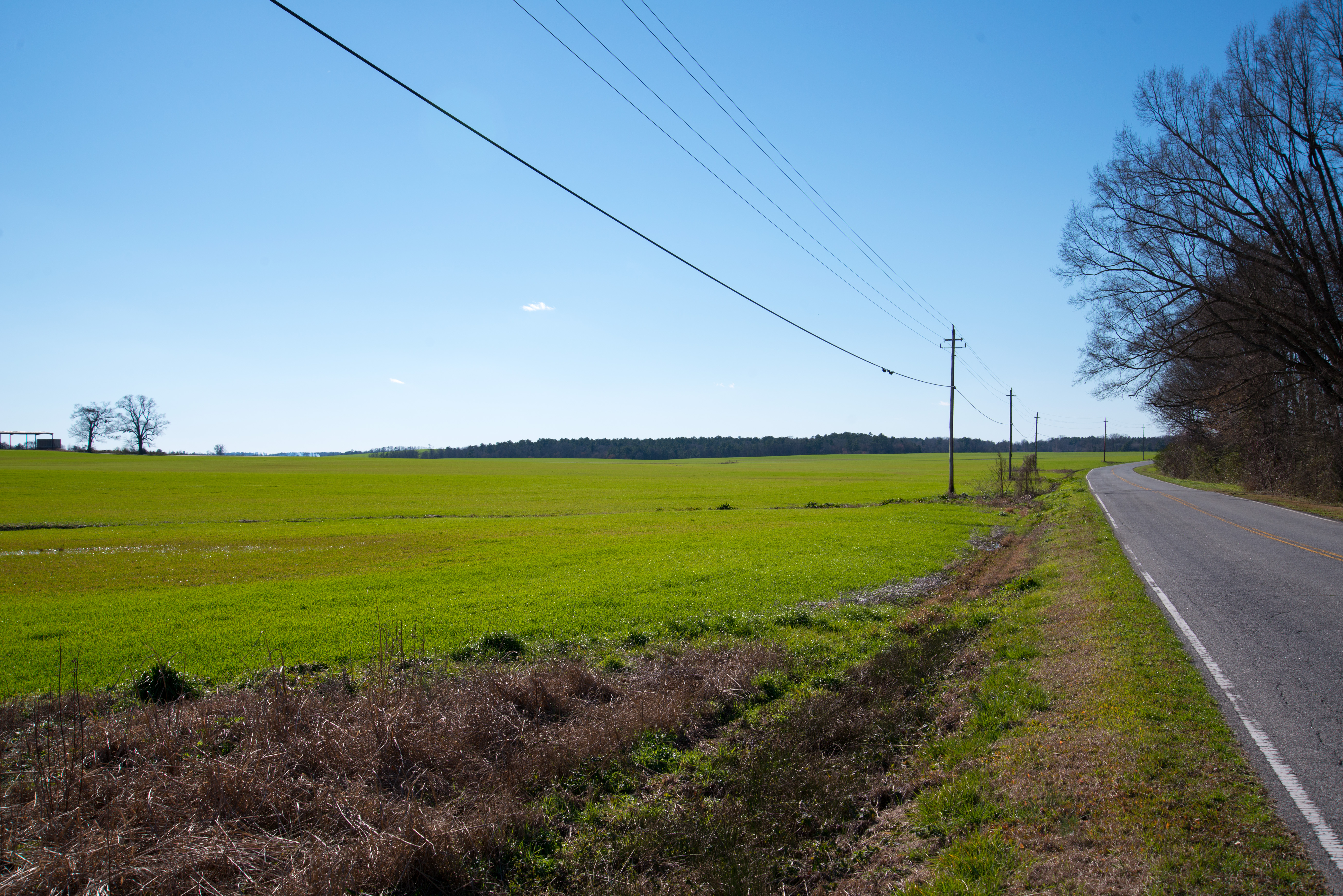
130131-0609 Sturdivants Crossroads

Watermelons On Display.

Snow!

Cows on the Ag Class Grounds

Lake Monroe Paddle 2014

130131-0636 Trinity

Lake Monroe Paddle 2014
Topographic Map of Lanes Creek, NC, USA
Find elevation by address:

Places near Lanes Creek, NC, USA:
1564 Russell Pope Rd
3311 Landsford Rd
White Store Rd, Wingate, NC, USA
Pageland
2103 Sojourn Rd
Buford
South Carolina 9
207 S Elm St
Marshville
Eudy Road
Marshville
White Store
1961 State Rd 2106
Wingate University
Wingate
W Wilson St, Wingate, NC, USA
1642 Upper White Store Rd
1712 Lake Lee Dr
Lake Lee
Lake Lee Dam
Recent Searches:
- Elevation of Lampiasi St, Sarasota, FL, USA
- Elevation of Elwyn Dr, Roanoke Rapids, NC, USA
- Elevation of Congressional Dr, Stevensville, MD, USA
- Elevation of Bellview Rd, McLean, VA, USA
- Elevation of Stage Island Rd, Chatham, MA, USA
- Elevation of Shibuya Scramble Crossing, 21 Udagawacho, Shibuya City, Tokyo -, Japan
- Elevation of Jadagoniai, Kaunas District Municipality, Lithuania
- Elevation of Pagonija rock, Kranto 7-oji g. 8"N, Kaunas, Lithuania
- Elevation of Co Rd 87, Jamestown, CO, USA
- Elevation of Tenjo, Cundinamarca, Colombia