Elevation of Lane's Dr, North Wilkesboro, NC, USA
Location: United States > North Carolina > Wilkes County > North Wilkesboro > North Wilkesboro >
Longitude: -81.087139
Latitude: 36.1896839
Elevation: 347m / 1138feet
Barometric Pressure: 97KPa
Elevation Map:
Satellite Map:
Related Photos:
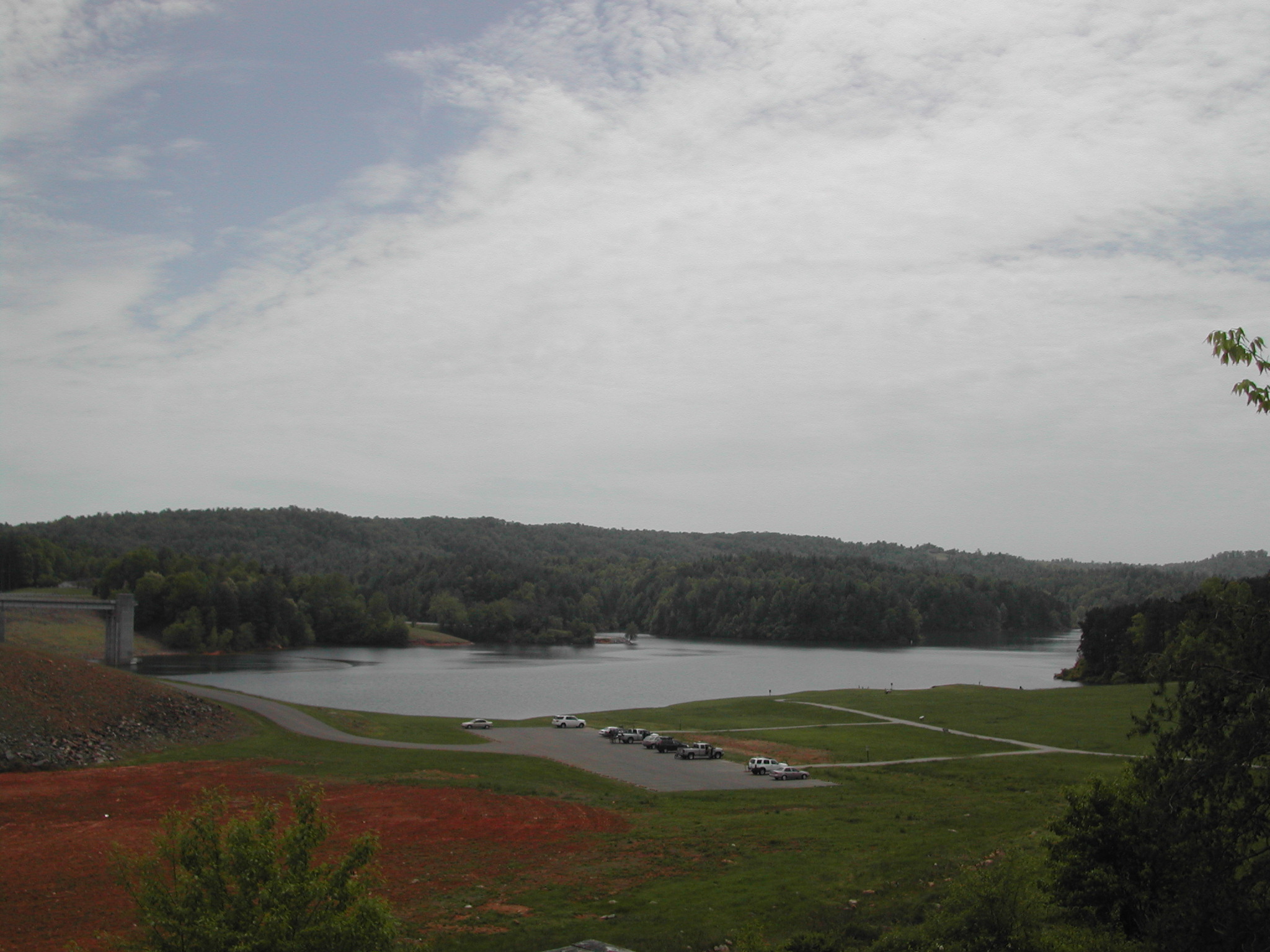
Dark Mountain Trail

Campground at night
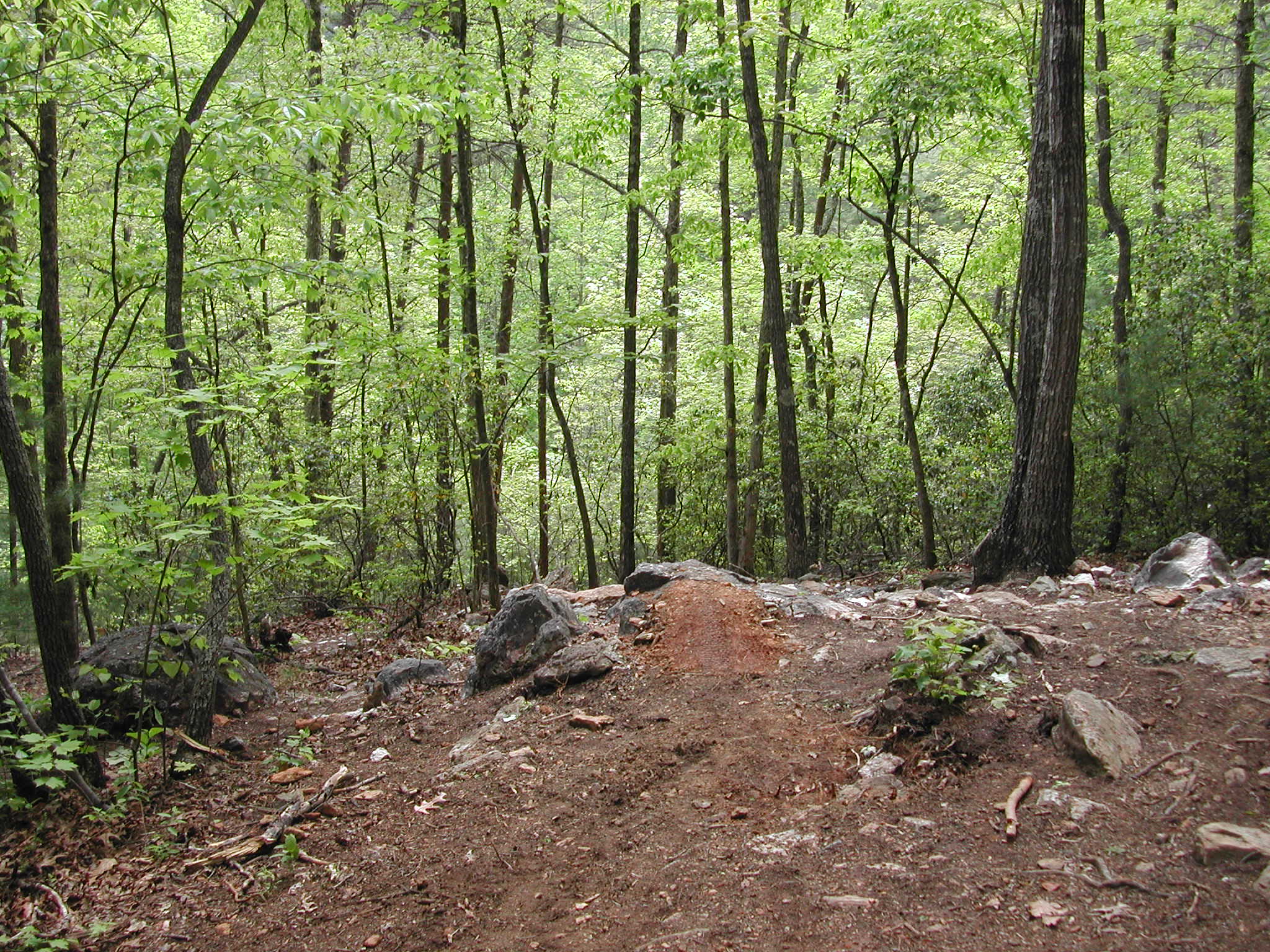
Dark Mountain Trail

Dark Mountain Trail

Waiting her turn
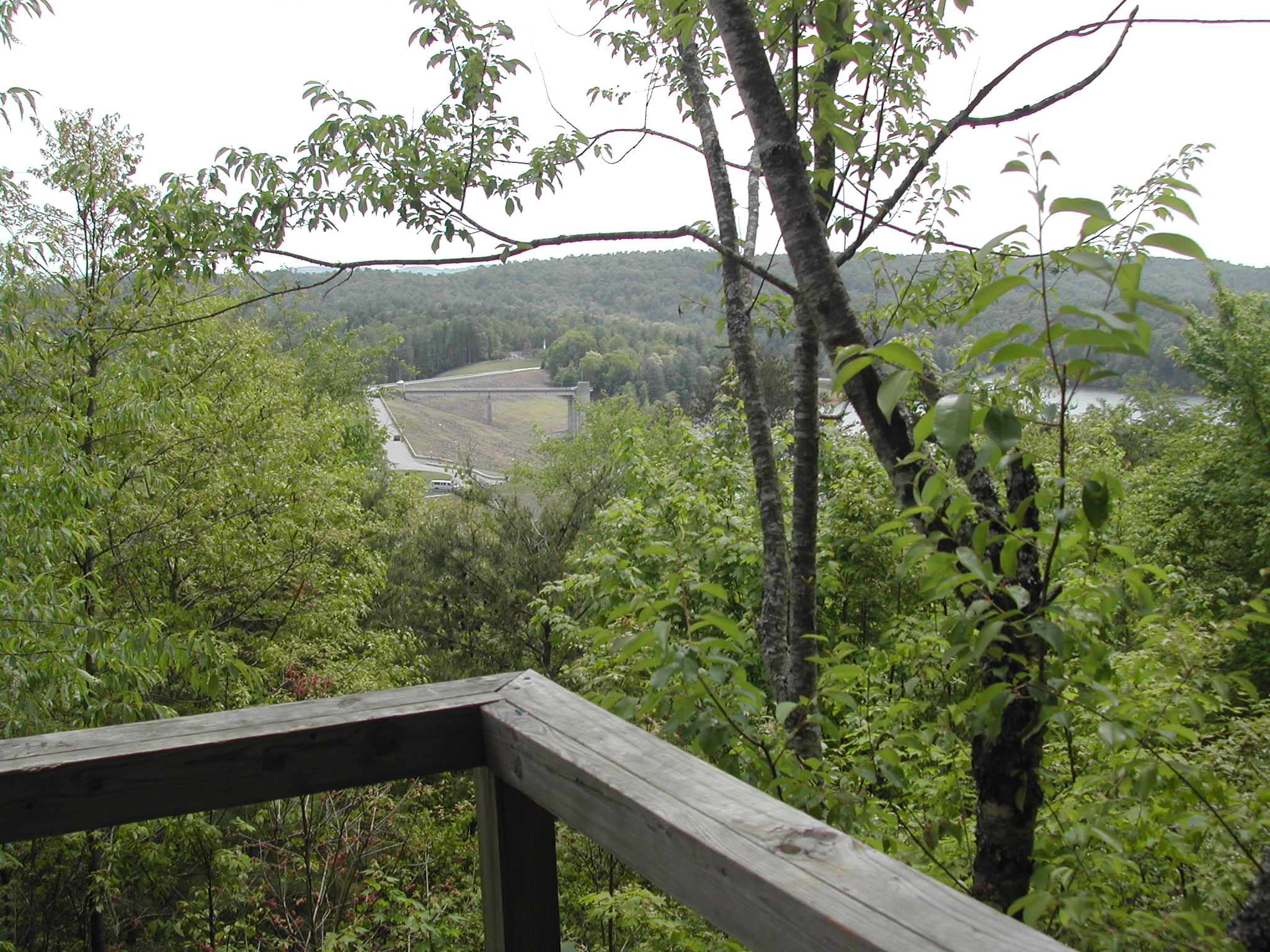
Dark Mountain Trail

View of the Entrance

Downtown North Wilkesboro

Dark Mountain Trail

MerleFest Crowd viewing Avetts by Jacob Caudill

MF2010 026
Topographic Map of Lane's Dr, North Wilkesboro, NC, USA
Find elevation by address:

Places near Lane's Dr, North Wilkesboro, NC, USA:
270 Johnson Rd
270 Johnson Rd
1156 Rock Quarry Rd
1045 Clark Rd
Broadway Tower Road
860 Fairplains Rd
Wilkesboro
268 Bill Curry Rd
397 Colony Dr
Old State Hwy 60, Roaring River, NC, USA
300 8th St
North Wilkesboro
Sparta Rd, North Wilkesboro, NC, USA
302 9th St
North Wilkesboro
118 Ancient Oaks Dr
Rance Staley Road 2325
1653 State Rd 2418
Fairplains
100 S Bridge St
Recent Searches:
- Elevation of Hercules Dr, Colorado Springs, CO, USA
- Elevation of Szlak pieszy czarny, Poland
- Elevation of Griffing Blvd, Biscayne Park, FL, USA
- Elevation of Kreuzburger Weg 13, Düsseldorf, Germany
- Elevation of Gateway Blvd SE, Canton, OH, USA
- Elevation of East W.T. Harris Boulevard, E W.T. Harris Blvd, Charlotte, NC, USA
- Elevation of West Sugar Creek, Charlotte, NC, USA
- Elevation of Wayland, NY, USA
- Elevation of Steadfast Ct, Daphne, AL, USA
- Elevation of Lagasgasan, X+CQH, Tiaong, Quezon, Philippines