Elevation of Lands End, Utah, USA
Location: United States > Utah > Garfield County >
Longitude: -110.13013
Latitude: 38.1019304
Elevation: 2167m / 7110feet
Barometric Pressure: 78KPa
Elevation Map:
Satellite Map:
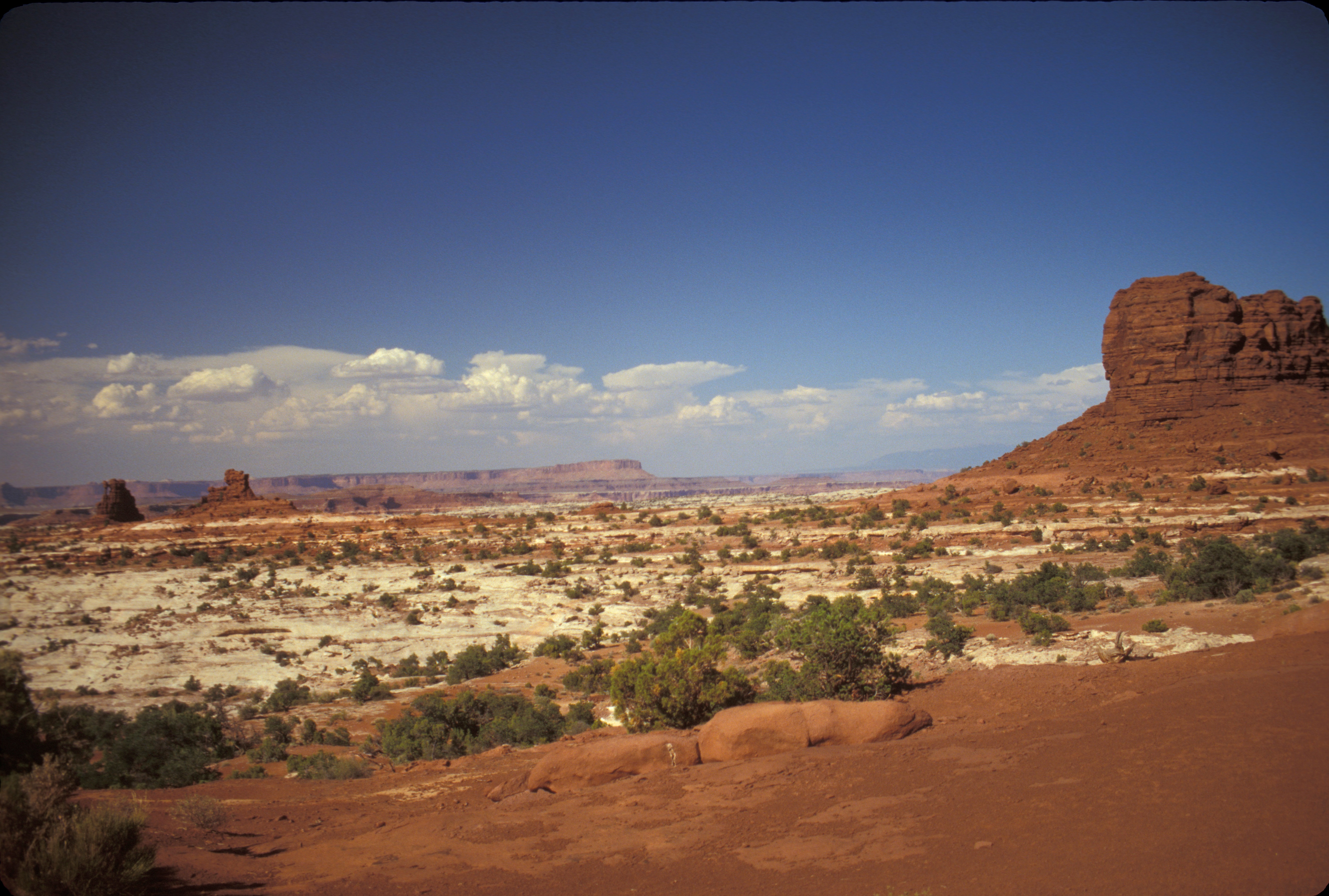
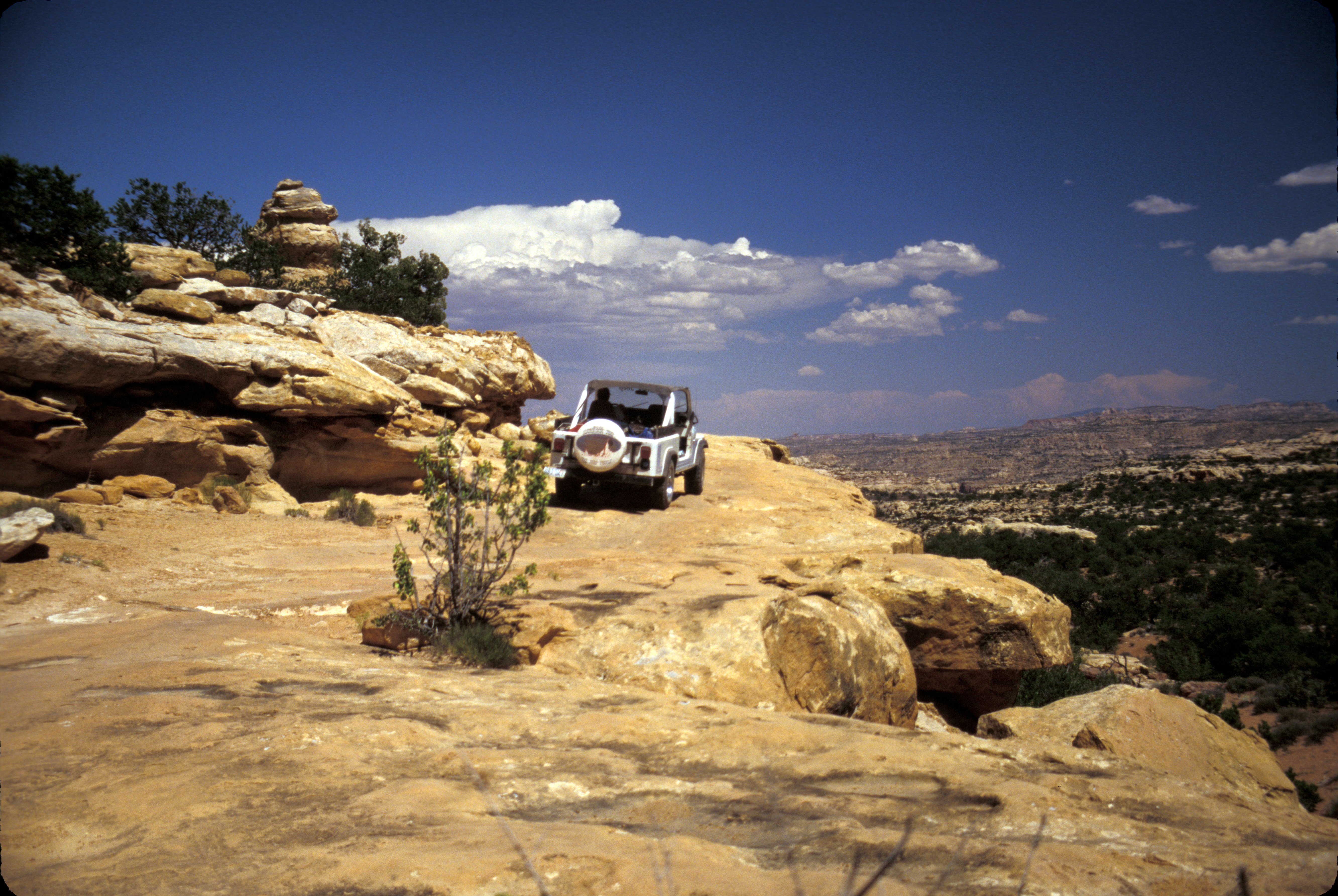
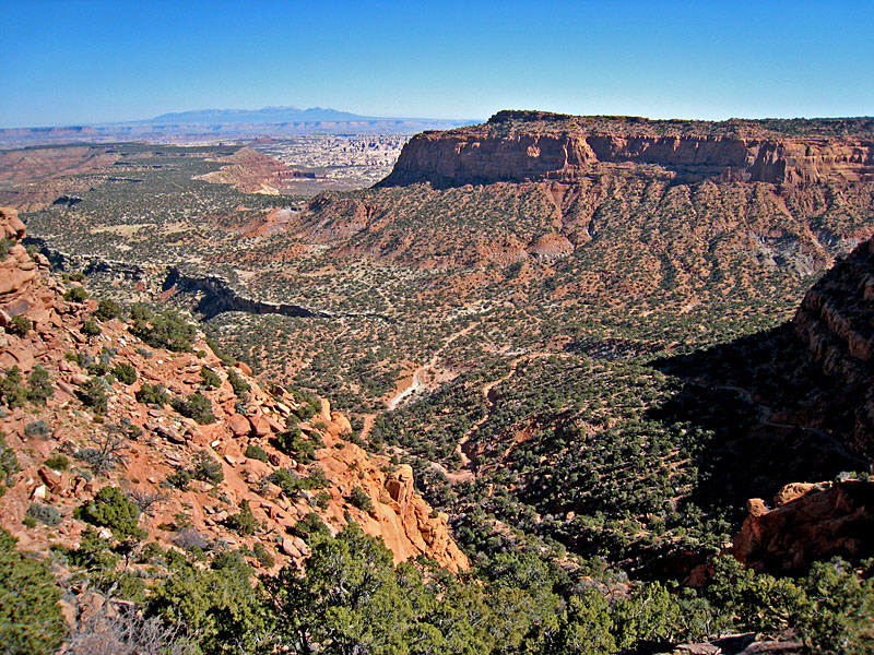
Related Photos:
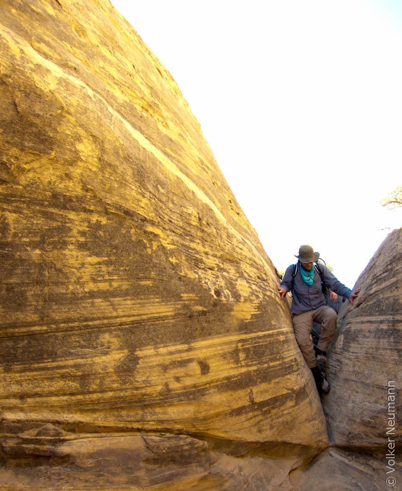
End View of The Wall
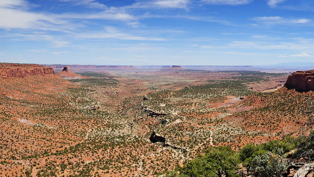
Flint Trail Overlook
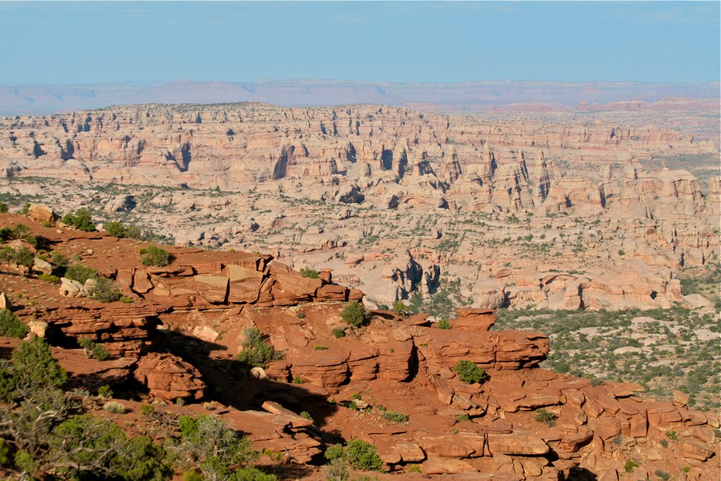
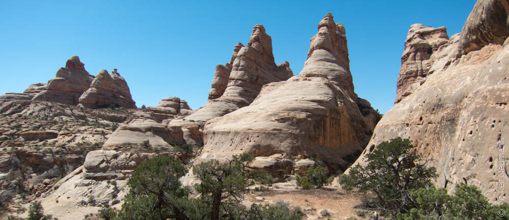
The Fins in Ernie's Country, viewed from the Golden Stairs
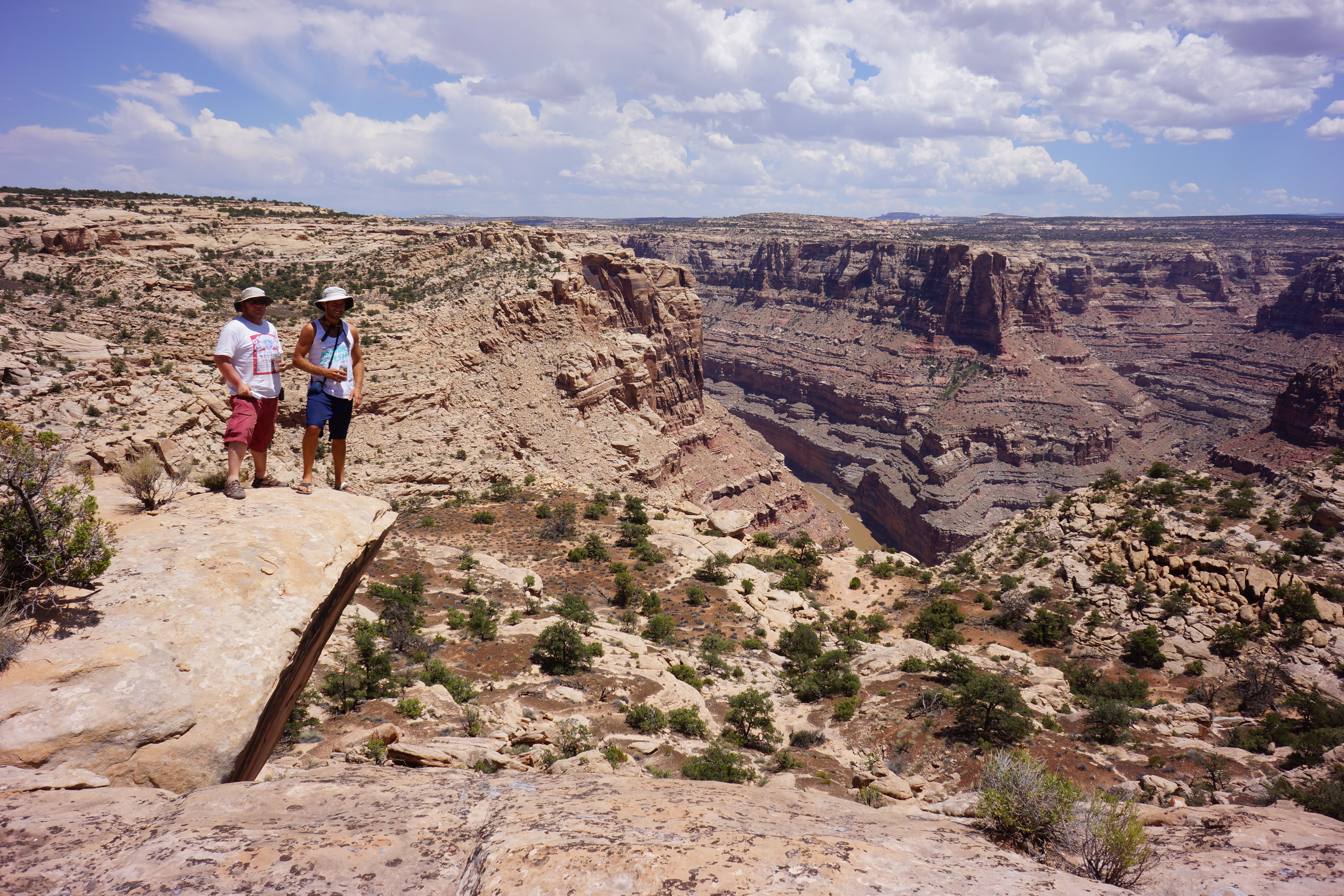
View from End of Spur Road near Red Point
Balanced Rock (far left) in Land of Standing Rocks
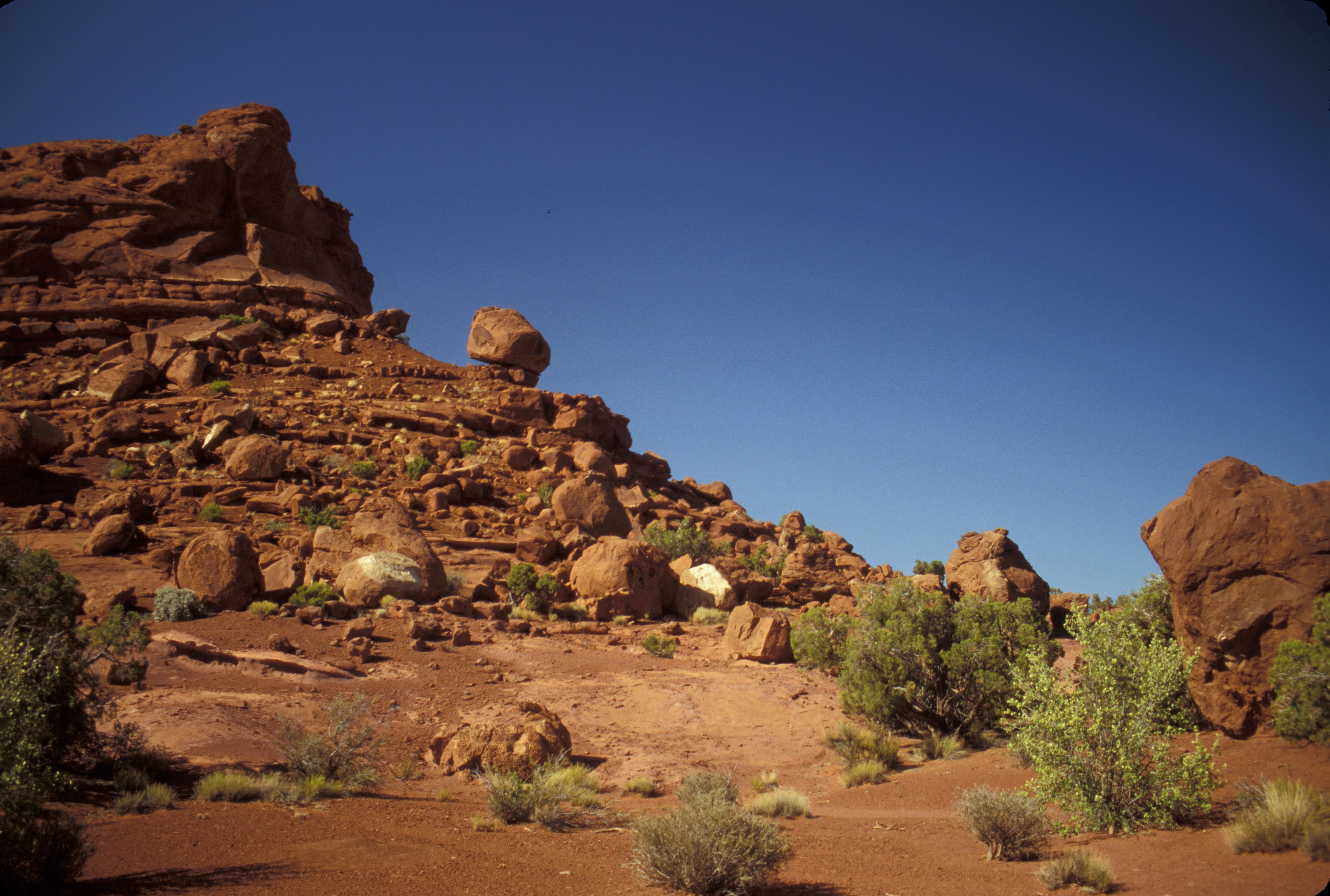
Balanced Rock Near Land of Standing Rocks
Around Teapot Canyon
Flint Trail
IMG_1539.jpg
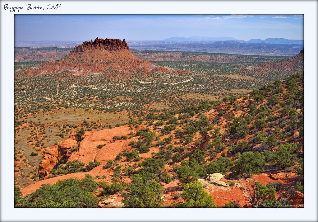
Bagpipe Butte, from Bagpipe Butte Overlook, CNP

Rounding the Bend on Flint Trail
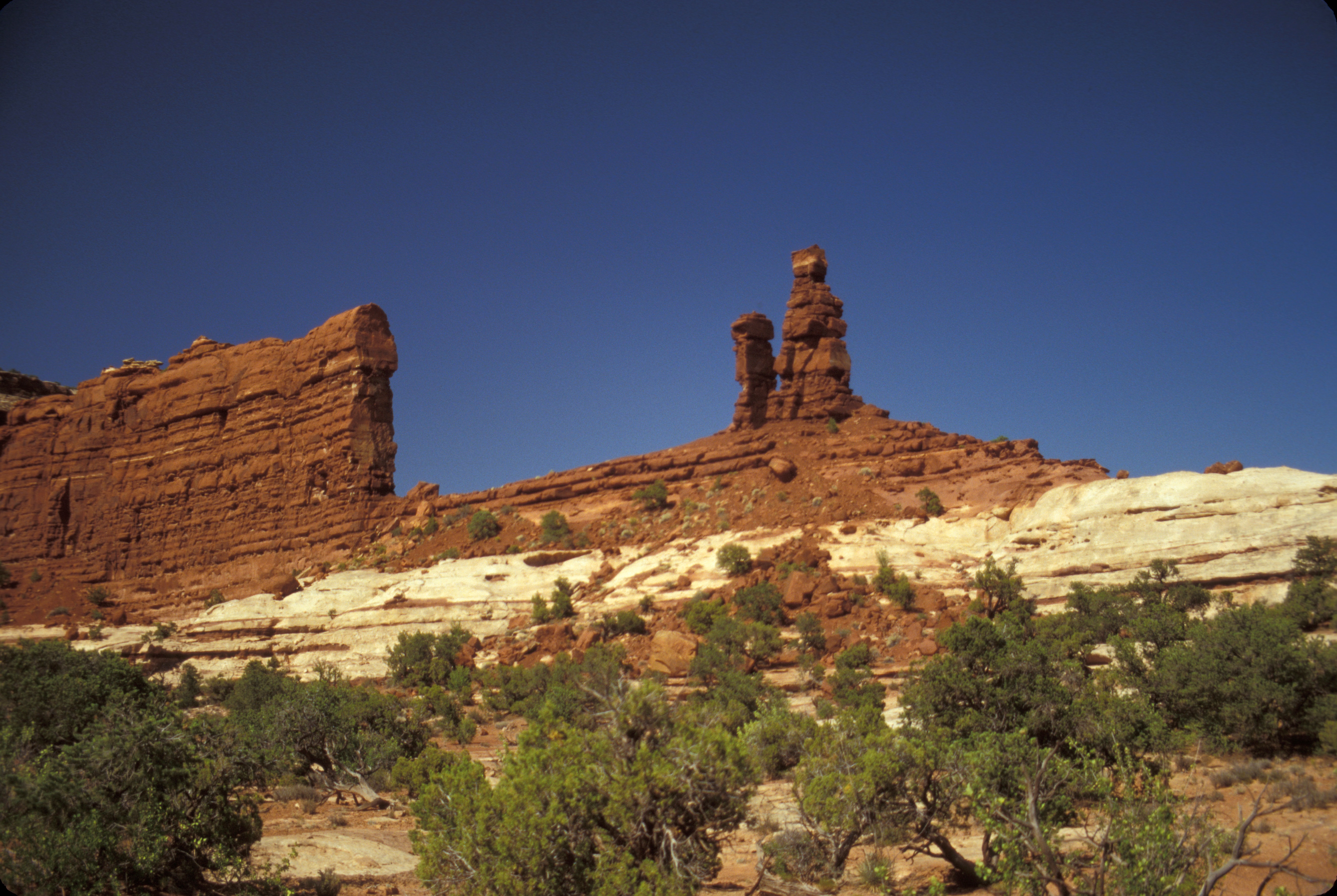
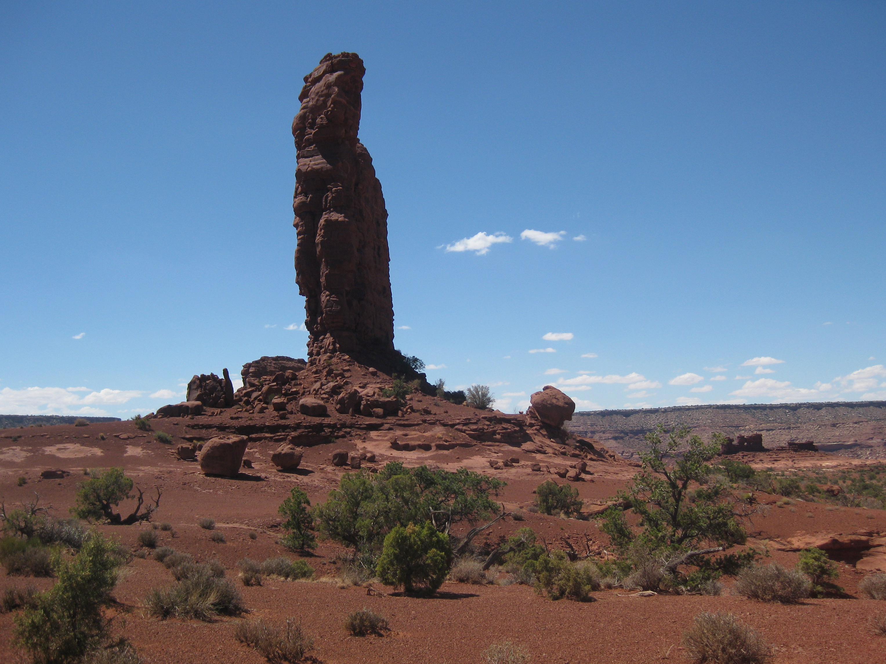
Mother and Child
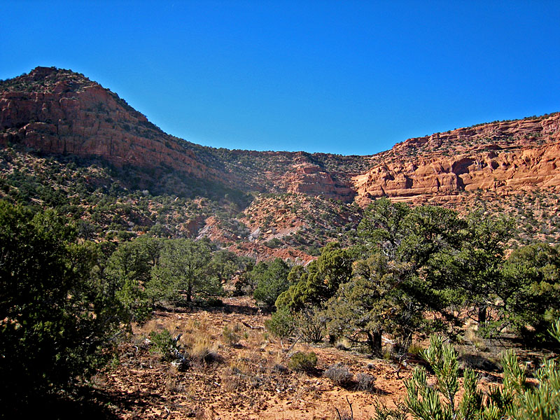
Flint Trail Cliffs
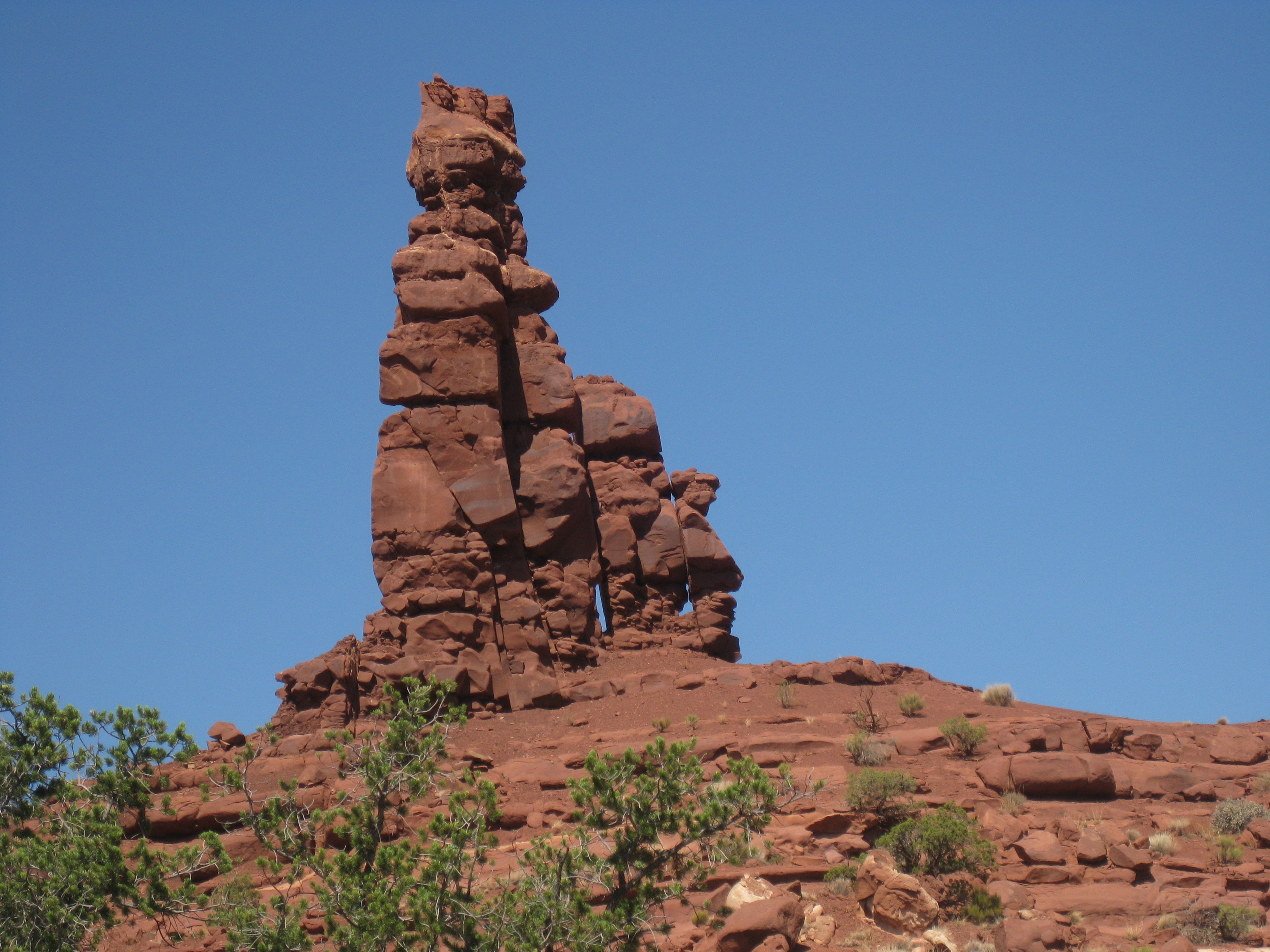
Mother and Child
IMG_1499.jpg

Rounding Bend above Teapot Rock

Cleopatra's Chair

Canyonlands, Maze District
kodi 212

Orange Cliffs

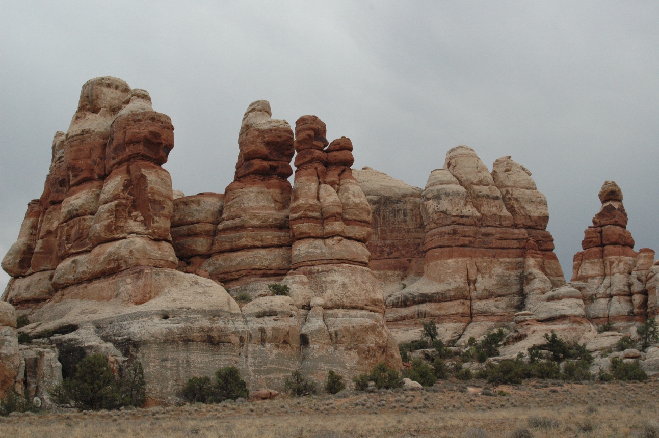
The FIns and Abajo Mountains from Land of Standing Rocks
Topographic Map of Lands End, Utah, USA
Find elevation by address:

Places near Lands End, Utah, USA:
The Needles
The Needles District Campground
Canyonlands National Park
Grand View Point
Buck Canyon Overlook
Needles District Visitor Center
Island In The Sky
Mesa Arch Trailhead
Mesa Arch
Canyonlands National Park Needles District
Grand View Point Road
Robbers Roost Canyon
Dead Horse Point
Hanksville, UT, USA
Dead Horse Point State Park
Dugout Spring
Hollow Mountain
Gemini Bridges Road
E N, Hanksville, UT, USA
Hanksville
Recent Searches:
- Elevation of Rojo Ct, Atascadero, CA, USA
- Elevation of Flagstaff Drive, Flagstaff Dr, North Carolina, USA
- Elevation of Avery Ln, Lakeland, FL, USA
- Elevation of Woolwine, VA, USA
- Elevation of Lumagwas Diversified Farmers Multi-Purpose Cooperative, Lumagwas, Adtuyon, RV32+MH7, Pangantucan, Bukidnon, Philippines
- Elevation of Homestead Ridge, New Braunfels, TX, USA
- Elevation of Orchard Road, Orchard Rd, Marlborough, NY, USA
- Elevation of 12 Hutchinson Woods Dr, Fletcher, NC, USA
- Elevation of Holloway Ave, San Francisco, CA, USA
- Elevation of Norfolk, NY, USA