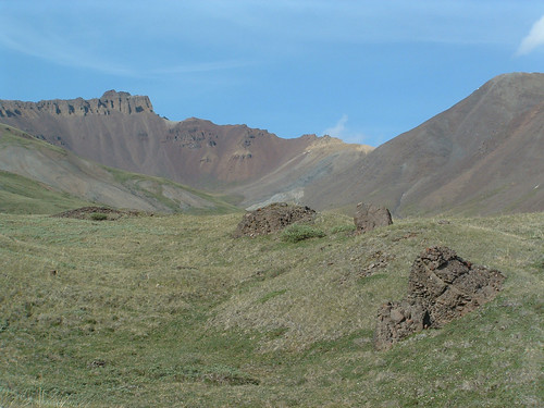
Elevation of Landmark Mountain, Yukon, Unorganized, YT Y0B, Canada
Location: Canada > Yukon Territory > Yukon > Destruction Bay >
Longitude: -139.23472
Latitude: 61.1686111
Elevation: 2665m / 8743feet
Barometric Pressure: 73KPa
Related Photos:
Topographic Map of Landmark Mountain, Yukon, Unorganized, YT Y0B, Canada
Find elevation by address:

Places near Landmark Mountain, Yukon, Unorganized, YT Y0B, Canada:
Mount Hoge
Mount Weyprecht
Mount Sannikov
Gwichin Peak
Discovery Peak
Kluane National Park And Reserve Of Canada
Fram Peak
Inuvialuit E5
Fram S4
Mount Henson
Terra Nova Peak
Mount Arctowski
Inuvialuit Peak
Donjek Mountain
Kettle Peak
Mount Badham
Spring Glacier Peak
Saint Elias Mountains
Badham Sw2
Mount Laptev
Recent Searches:
- Elevation of Corso Fratelli Cairoli, 35, Macerata MC, Italy
- Elevation of Tallevast Rd, Sarasota, FL, USA
- Elevation of 4th St E, Sonoma, CA, USA
- Elevation of Black Hollow Rd, Pennsdale, PA, USA
- Elevation of Oakland Ave, Williamsport, PA, USA
- Elevation of Pedrógão Grande, Portugal
- Elevation of Klee Dr, Martinsburg, WV, USA
- Elevation of Via Roma, Pieranica CR, Italy
- Elevation of Tavkvetili Mountain, Georgia
- Elevation of Hartfords Bluff Cir, Mt Pleasant, SC, USA
