Elevation of Land Bank, CMS Building, National Highway, Pan-Philippine Highway, Tagum City, Davao del Norte, Philippines
Location: Philippines > Davao Region > Davao Del Norte > Tagum City >
Longitude: 125.810125
Latitude: 7.447482
Elevation: 25m / 82feet
Barometric Pressure: 101KPa
Elevation Map:
Satellite Map:
Related Photos:
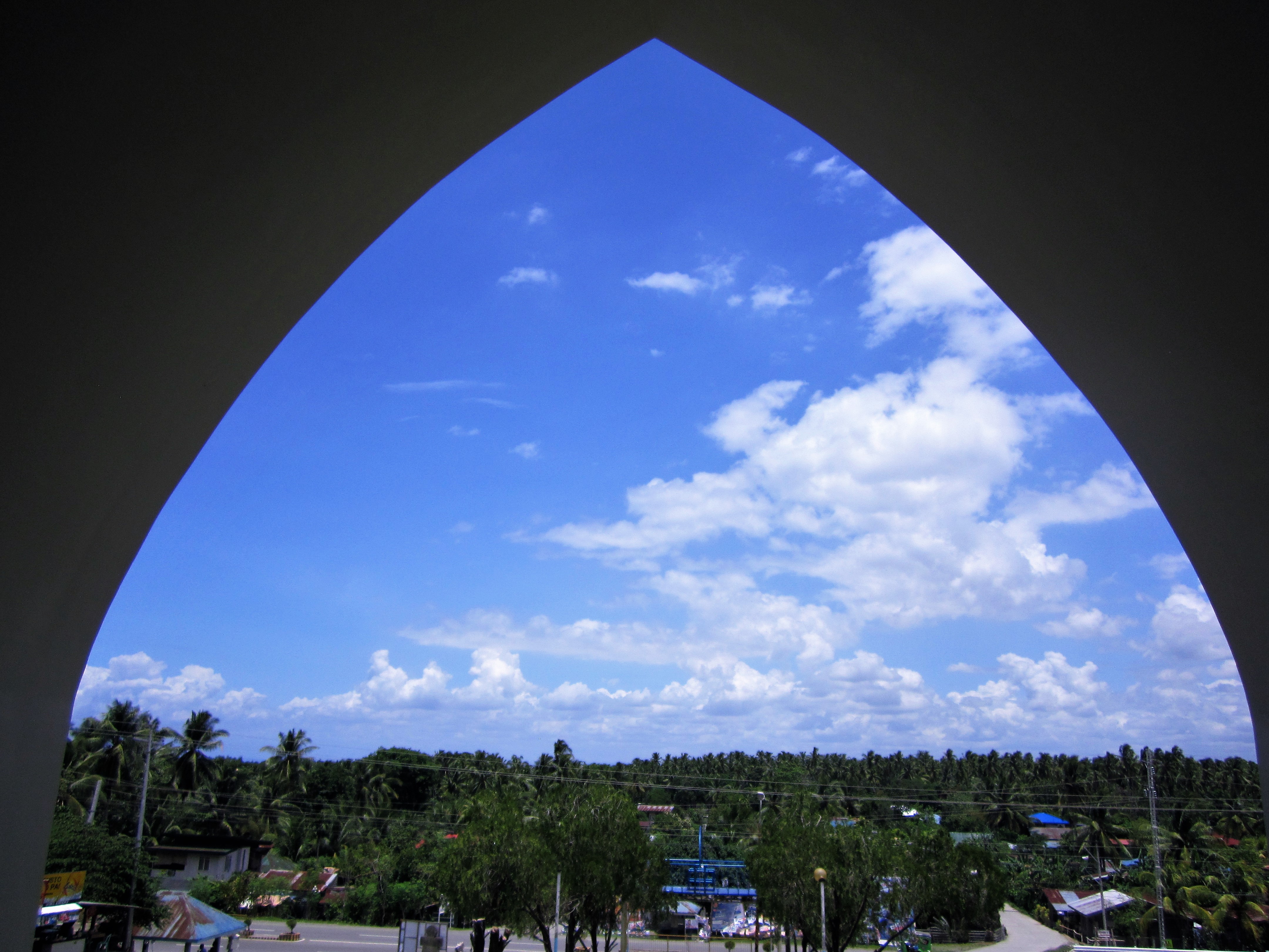
ARCH

Tagum
SUMMER
Admiring the nature.

Stripping the strap Haha @maryaboom

Lumia 535

#tbt #yolo #borabora #????

Lumia 535

Lumia 535
Lumia 535
Topographic Map of Land Bank, CMS Building, National Highway, Pan-Philippine Highway, Tagum City, Davao del Norte, Philippines
Find elevation by address:

Places near Land Bank, CMS Building, National Highway, Pan-Philippine Highway, Tagum City, Davao del Norte, Philippines:
Tagum City
Tagum City
Gaisano Mall Of Tagum
Tagum City Fire Station
Capitol Circumferential Road
Provincial Capitol Building
Botanical Park San Agustin
Sawangan
Busaon
Del Pilar
Del Pilar New Corella Barangay Hall
Matin-ao Inland Resort
Mawab Municipal Hall
Suawon Elementary School
Sta. Fe Elementary School
Poblacion
New Corella Public Market
Santa Cruz
San Jose
Poblacion
Recent Searches:
- Elevation of Tenjo, Cundinamarca, Colombia
- Elevation of Côte-des-Neiges, Montreal, QC H4A 3J6, Canada
- Elevation of Bobcat Dr, Helena, MT, USA
- Elevation of Zu den Ihlowbergen, Althüttendorf, Germany
- Elevation of Badaber, Peshawar, Khyber Pakhtunkhwa, Pakistan
- Elevation of SE Heron Loop, Lincoln City, OR, USA
- Elevation of Slanický ostrov, 01 Námestovo, Slovakia
- Elevation of Spaceport America, Co Rd A, Truth or Consequences, NM, USA
- Elevation of Warwick, RI, USA
- Elevation of Fern Rd, Whitmore, CA, USA