Elevation of Lamplighter Ln, Cadillac, MI, USA
Location: United States > Michigan > Wexford County > Clam Lake Township > Cadillac >
Longitude: -85.395145
Latitude: 44.2106444
Elevation: 439m / 1440feet
Barometric Pressure: 96KPa
Elevation Map:
Satellite Map:
Related Photos:

breakfast picnic

Morning Serenity

2008-08-11 at 06-05-05
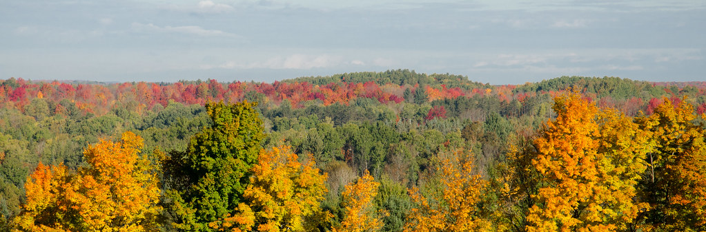
view from the outlook

stubble field sunup

cadillac morning

Autumn vs Mother Nature
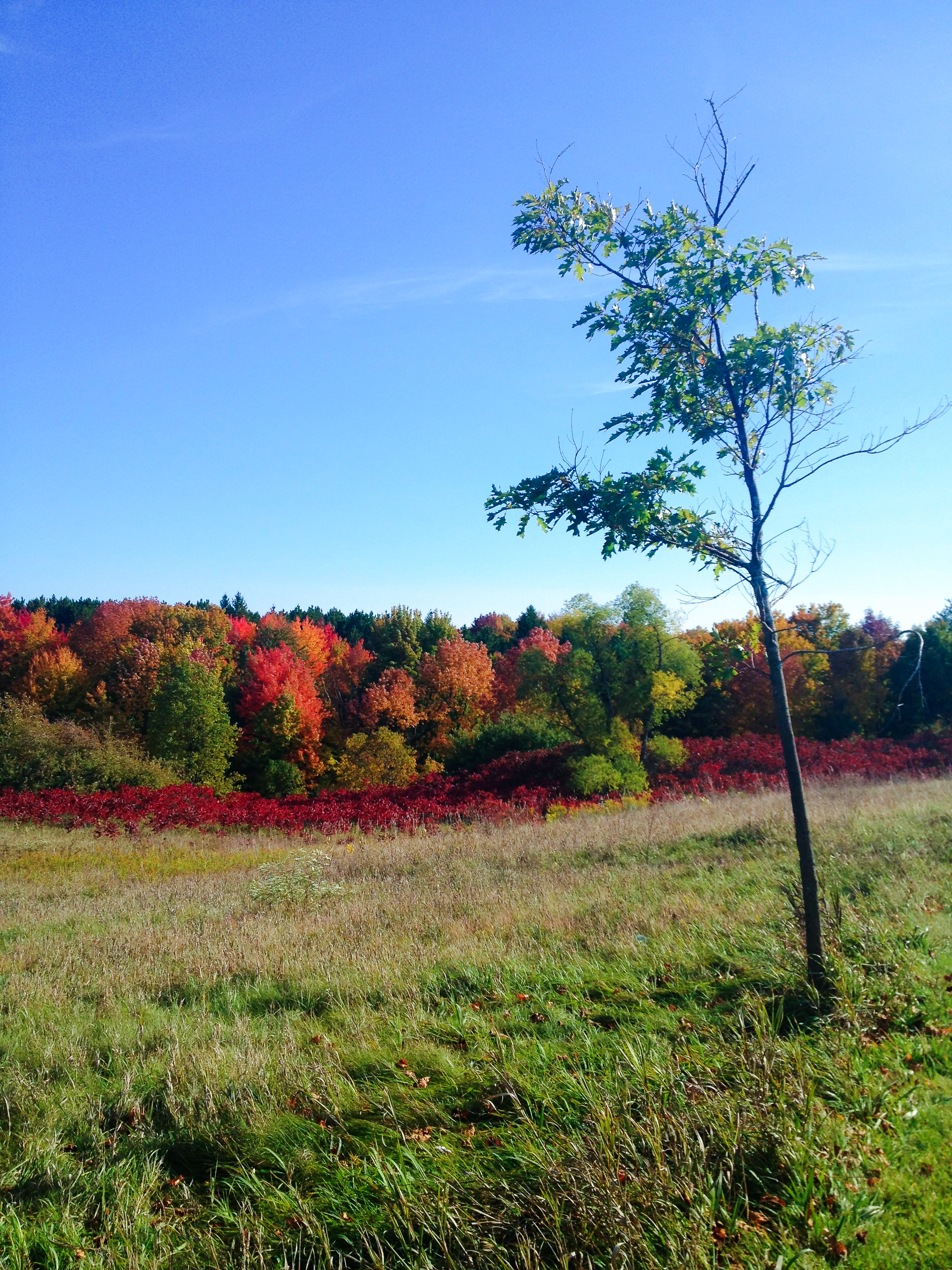
Autumn Rest

Sisters with Nothing Between

Mist at sunrise

Not exactly a beach day
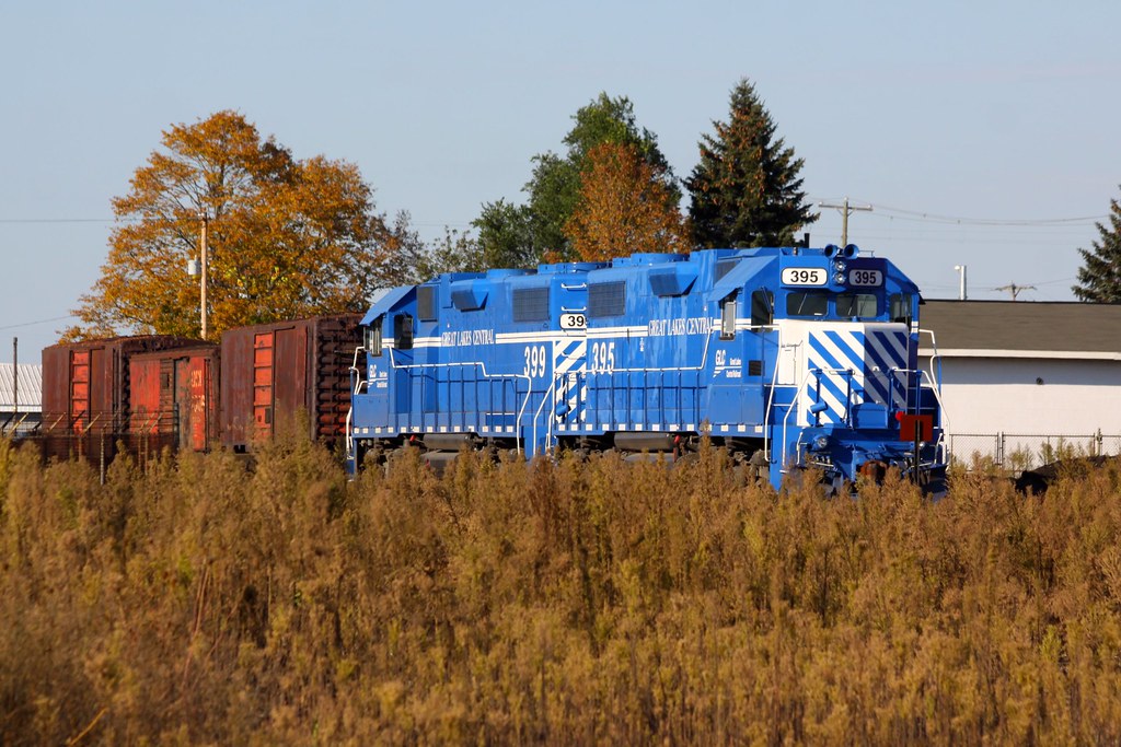
GLC at Cadillac, MI

Michigan Trip 2008-68

Michigan Trip 2008-5

Michigan Trip 2008-4

Michigan Trip 2008-71
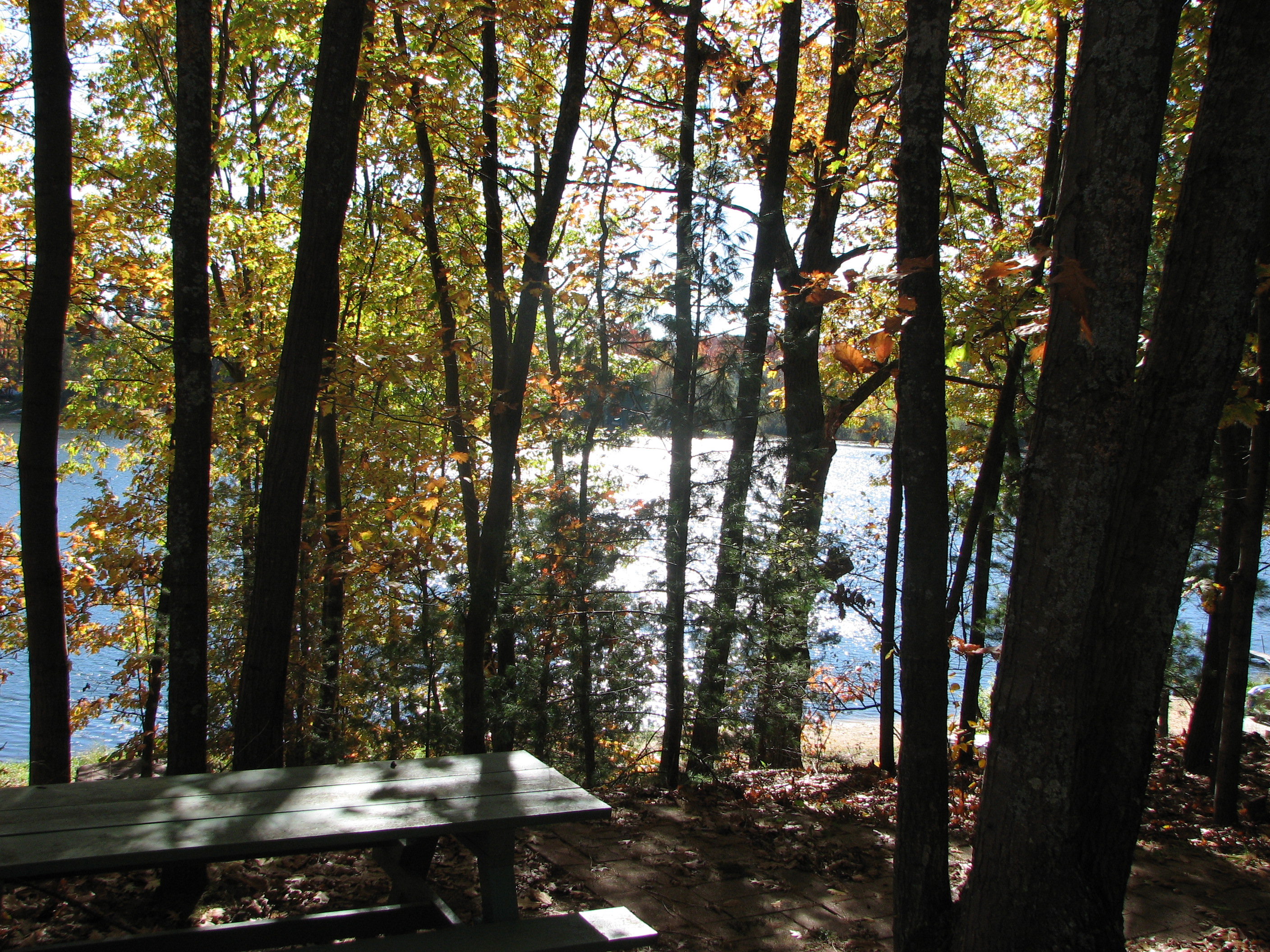
Hewitt Lake, Tustin, MI
An Afternoon in May
Scenic Overlook

Michigan Trip 2008-6
KETTUNEN,MICHIGAN
Topographic Map of Lamplighter Ln, Cadillac, MI, USA
Find elevation by address:

Places near Lamplighter Ln, Cadillac, MI, USA:
9292 S 43 Mile Rd
Clam Lake Township
1755 S Mitchell St
Cadillac
7209 E 50 Rd
Friends Of The White Pine Trail
270 Locust Ln
17593 22 Mile Rd
17665 22 Mile Rd
21439 140th Ave
21439 140th Ave
21439 140th Ave
Sherman Township
Cherry Grove Township
20639 Tustin Rd
9608 19 Mile Rd
Church St, Tustin, MI, USA
Tustin
Lake Township
th Ave, Tustin, MI, USA
Recent Searches:
- Elevation of Felindre, Swansea SA5 7LU, UK
- Elevation of Leyte Industrial Development Estate, Isabel, Leyte, Philippines
- Elevation of W Granada St, Tampa, FL, USA
- Elevation of Pykes Down, Ivybridge PL21 0BY, UK
- Elevation of Jalan Senandin, Lutong, Miri, Sarawak, Malaysia
- Elevation of Bilohirs'k
- Elevation of 30 Oak Lawn Dr, Barkhamsted, CT, USA
- Elevation of Luther Road, Luther Rd, Auburn, CA, USA
- Elevation of Unnamed Road, Respublika Severnaya Osetiya — Alaniya, Russia
- Elevation of Verkhny Fiagdon, North Ossetia–Alania Republic, Russia