Elevation of Lampeter, Ceredigion, UK
Location: United Kingdom > Wales > Ceredigion > Lampeter >
Longitude: -4.0785089
Latitude: 52.112903
Elevation: 123m / 404feet
Barometric Pressure: 100KPa
Elevation Map:
Satellite Map:
Related Photos:
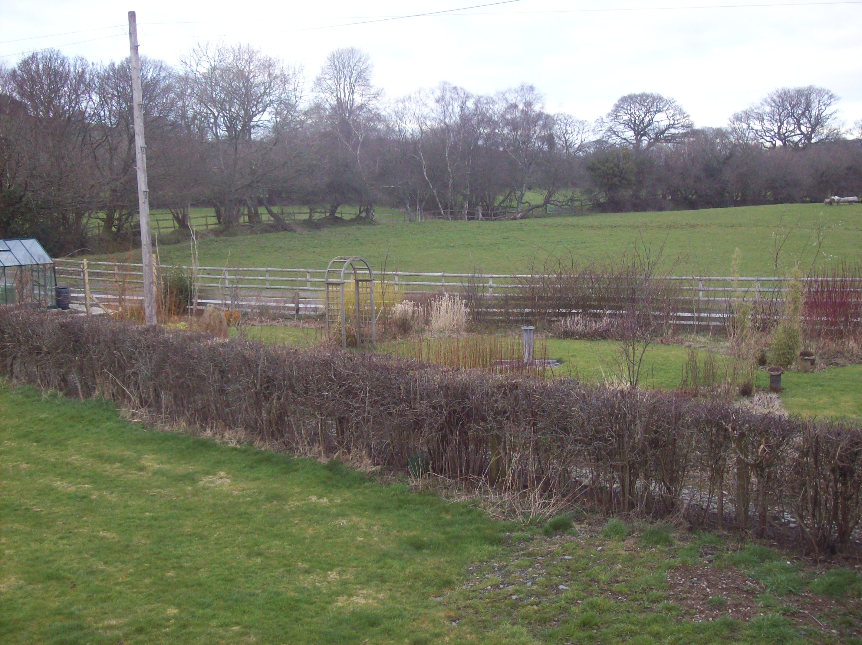
5.3.08 Monthly view
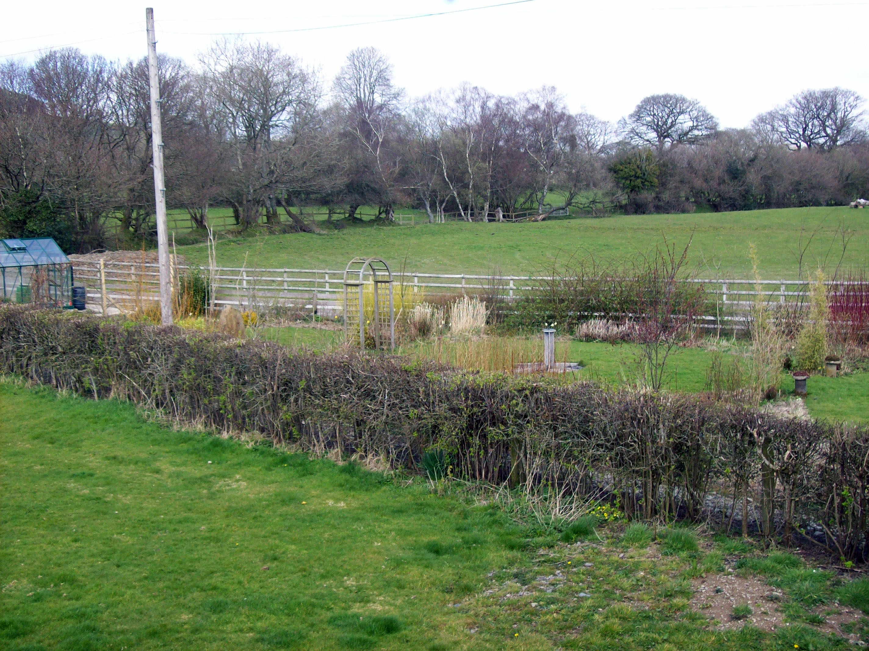
Monthly view (bit late!) 3.4.08

View from Brodawel

IMG_20131110_123154.jpg
Topographic Map of Lampeter, Ceredigion, UK
Find elevation by address:

Places near Lampeter, Ceredigion, UK:
Lampeter
Cwmann
Sa48 8ew
Sa48 8hq
Tangaer Self-catering Holiday Cottage
Cellan
Abermeurig
Ffaldybrenin
Ty Newydd
Trefilan
Ystrad Aeron
Old Post Office
Ffarmers
Llanllwni
Sy23 4jf
6 A485
Ceredigion
Cilycwm
Ty Mawr
Pontrhydfendigaid
Recent Searches:
- Elevation of Corso Fratelli Cairoli, 35, Macerata MC, Italy
- Elevation of Tallevast Rd, Sarasota, FL, USA
- Elevation of 4th St E, Sonoma, CA, USA
- Elevation of Black Hollow Rd, Pennsdale, PA, USA
- Elevation of Oakland Ave, Williamsport, PA, USA
- Elevation of Pedrógão Grande, Portugal
- Elevation of Klee Dr, Martinsburg, WV, USA
- Elevation of Via Roma, Pieranica CR, Italy
- Elevation of Tavkvetili Mountain, Georgia
- Elevation of Hartfords Bluff Cir, Mt Pleasant, SC, USA