Elevation of Lamar Township, AR, USA
Location: United States > Arkansas > Madison County >
Longitude: -93.916458
Latitude: 36.0364605
Elevation: 388m / 1273feet
Barometric Pressure: 97KPa
Elevation Map:
Satellite Map:
Related Photos:
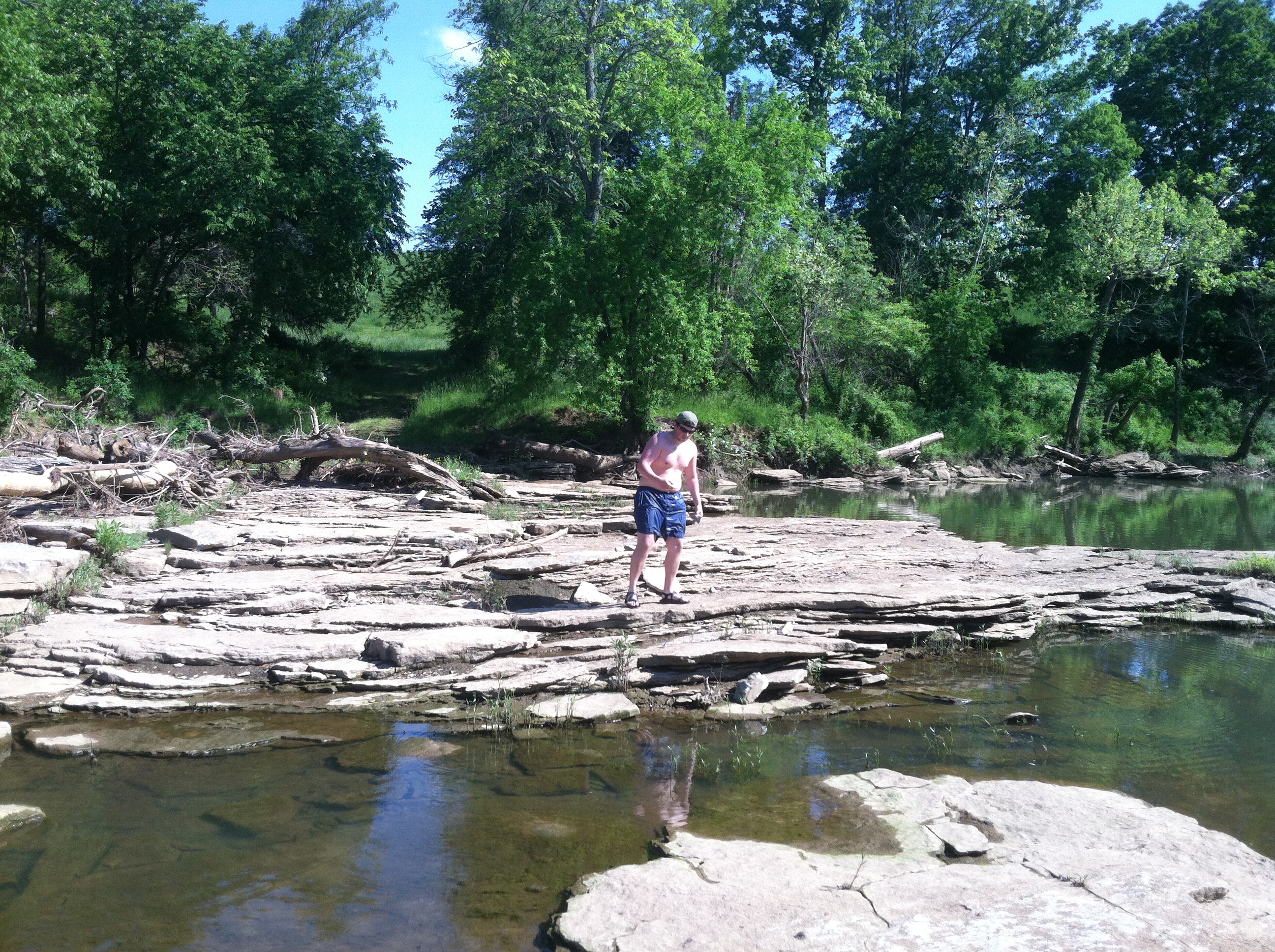
Glade Creek-West, Side
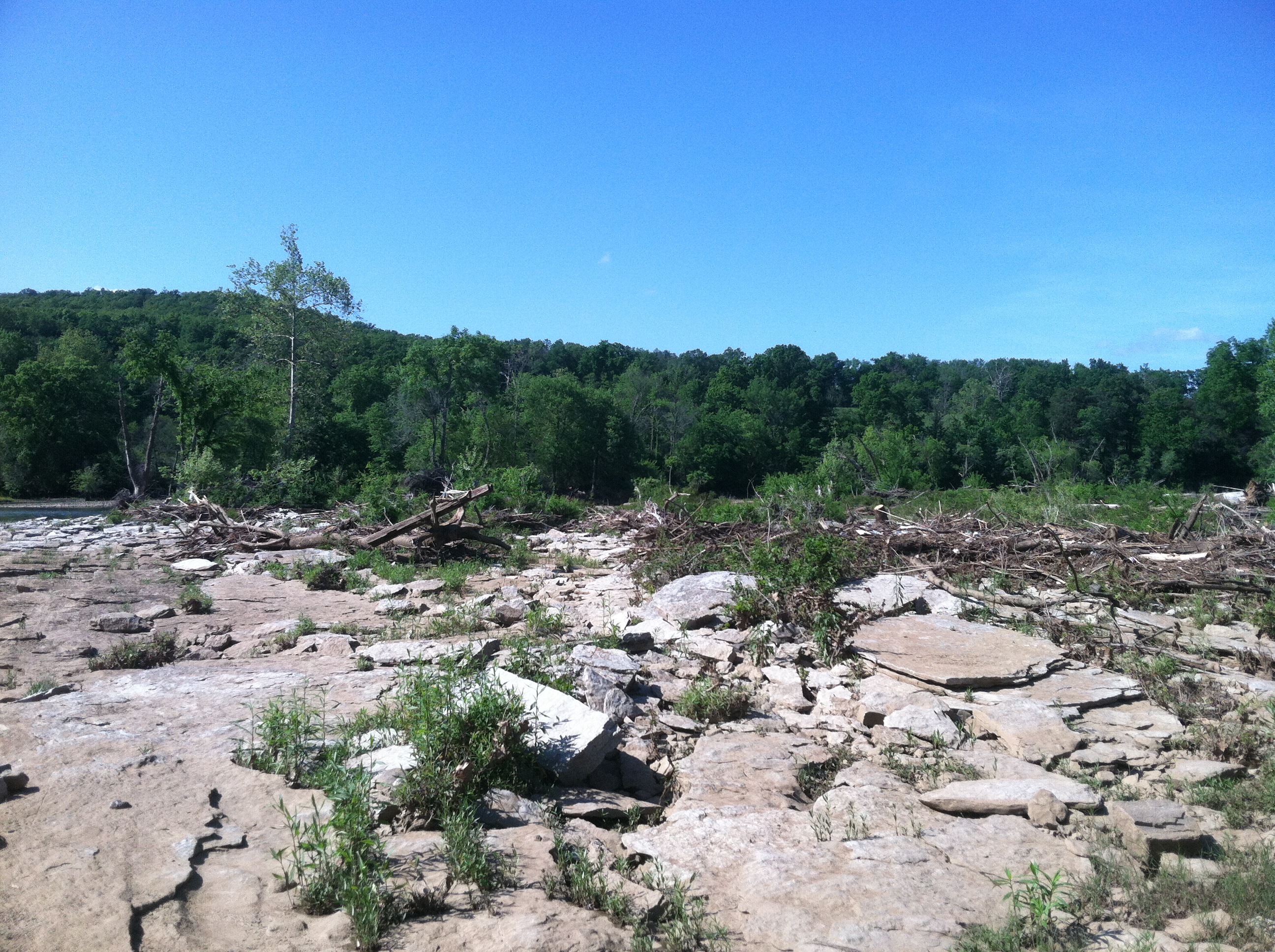
Harvey-Dowell Side View
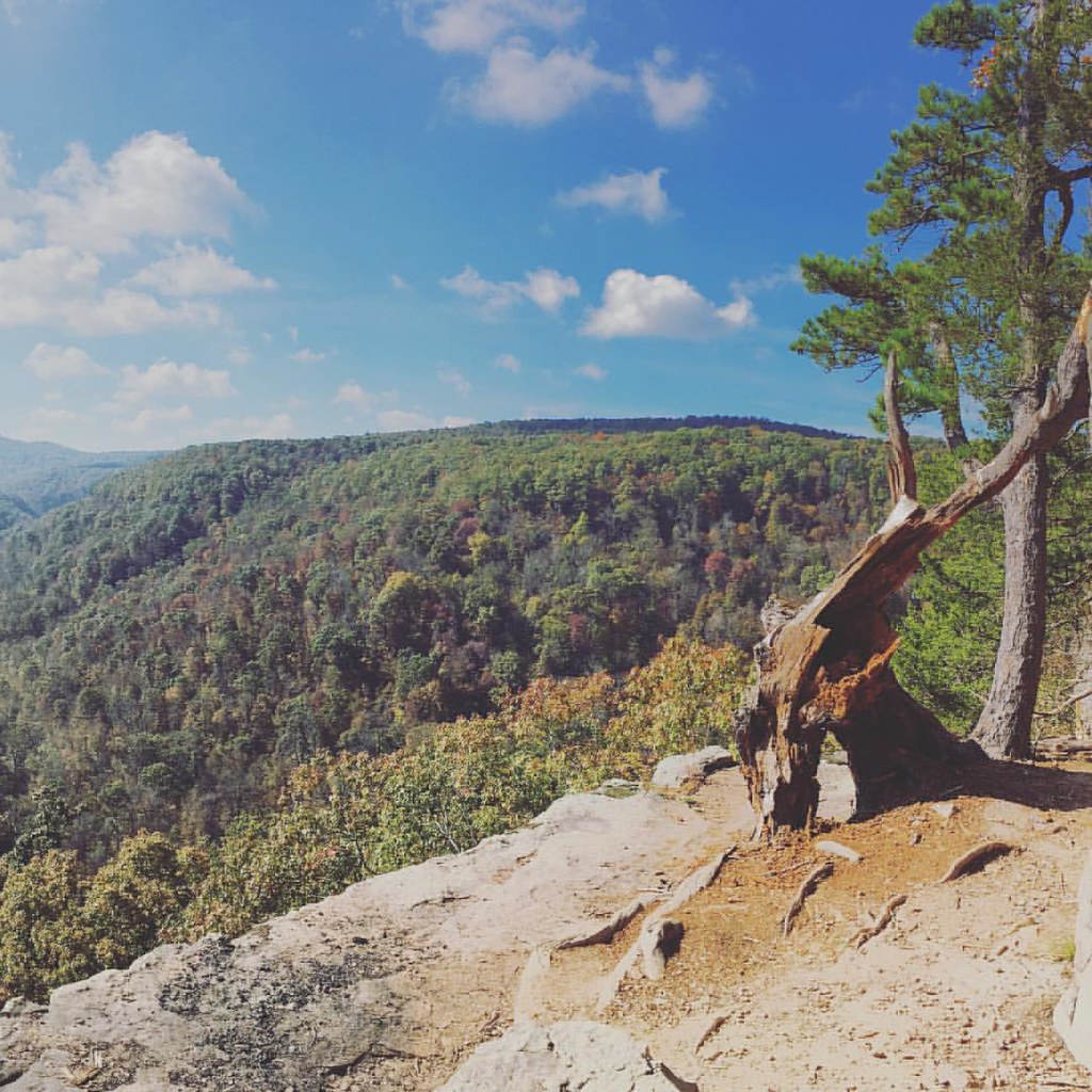
Beautiful views from Whitaker Trail ????????????

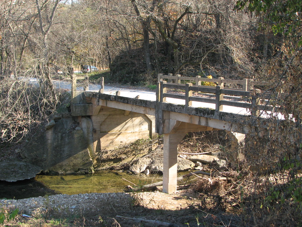
Red Bridge

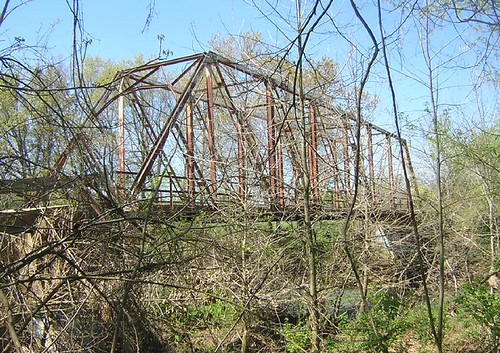
Bridge to Isolation

Mossy Bark
Looking For The Fish
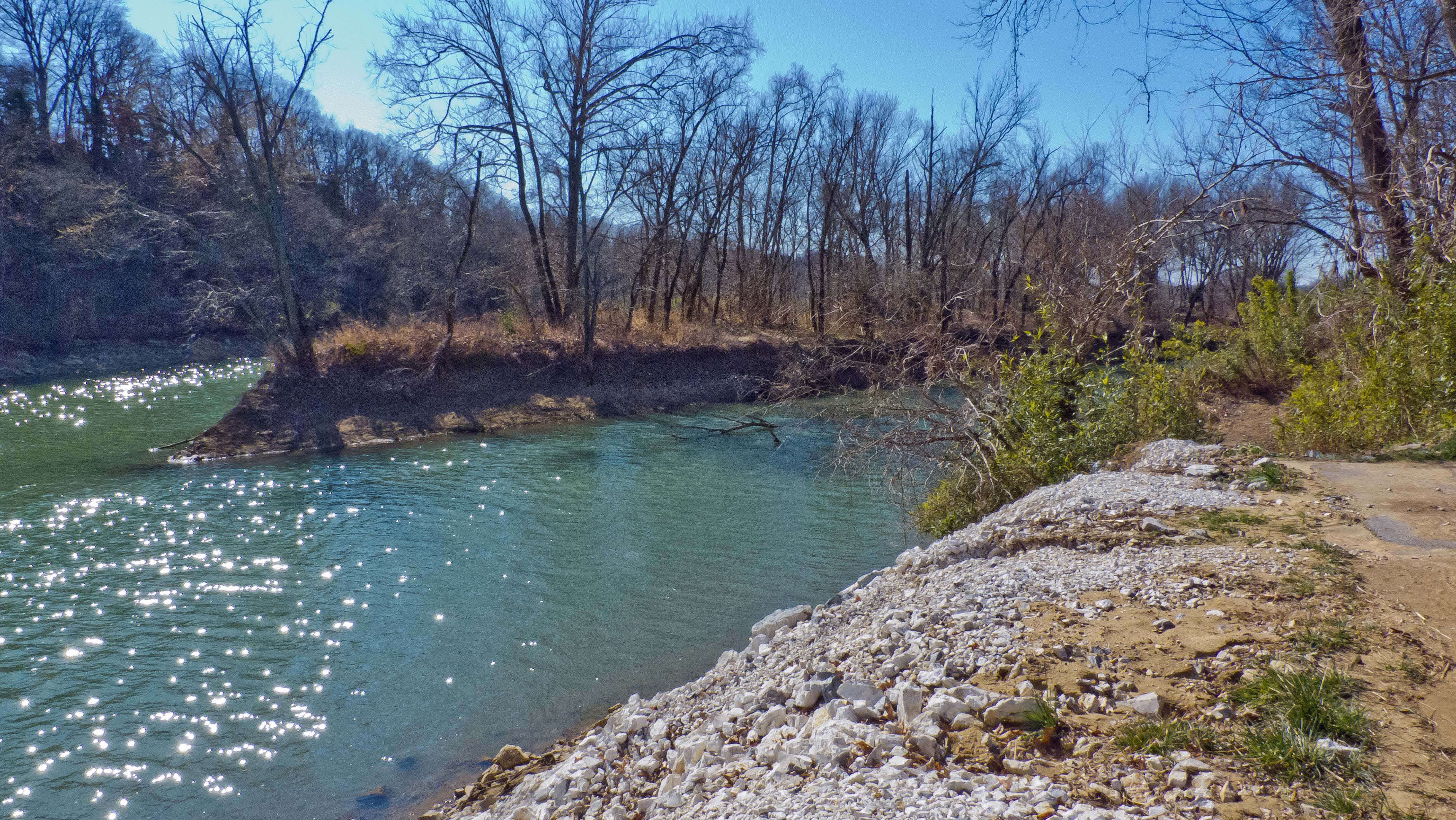
White River, Goshen AR
Lake Sequoyah
The Old Road II
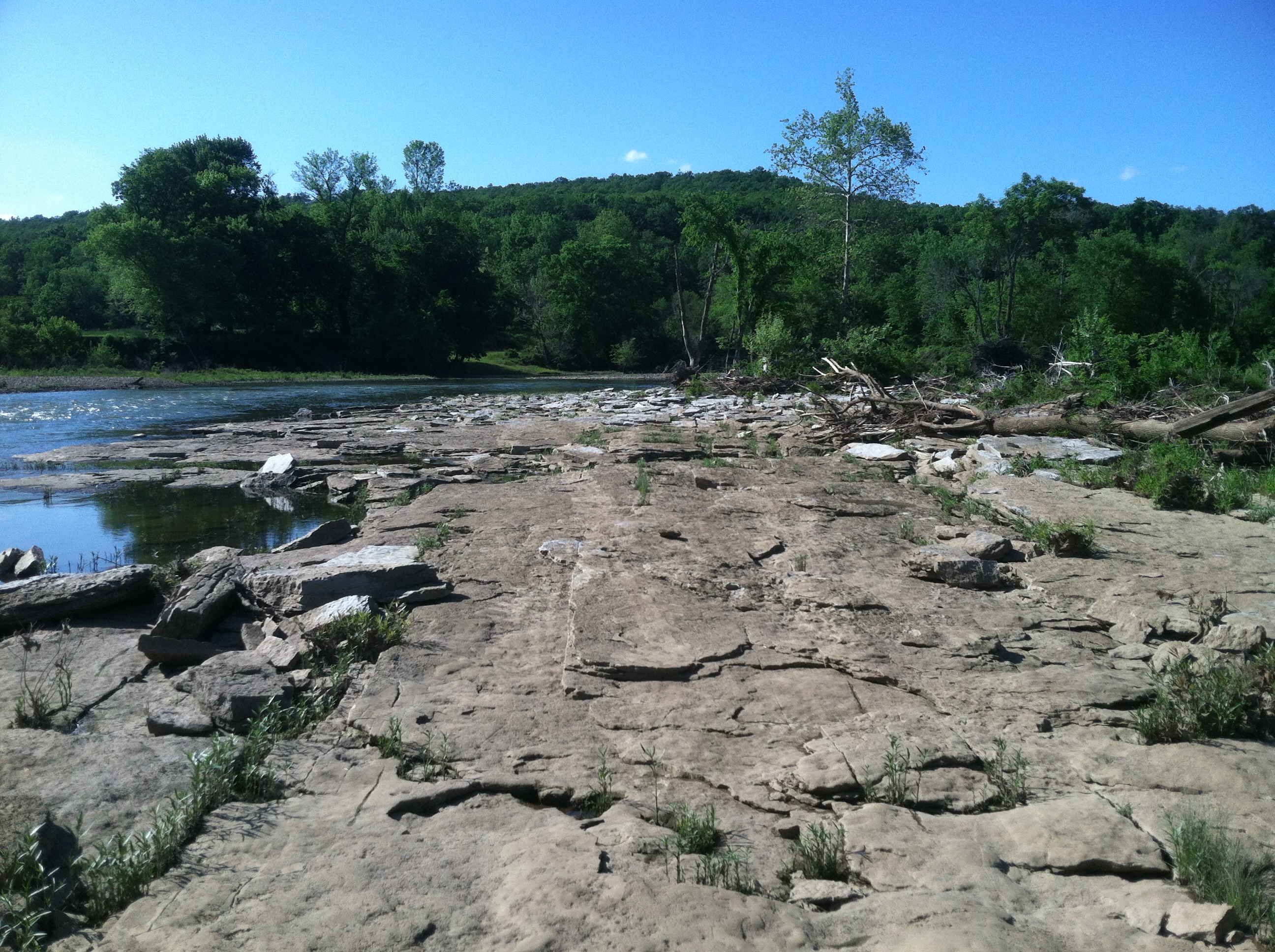
Possible GPR survey area
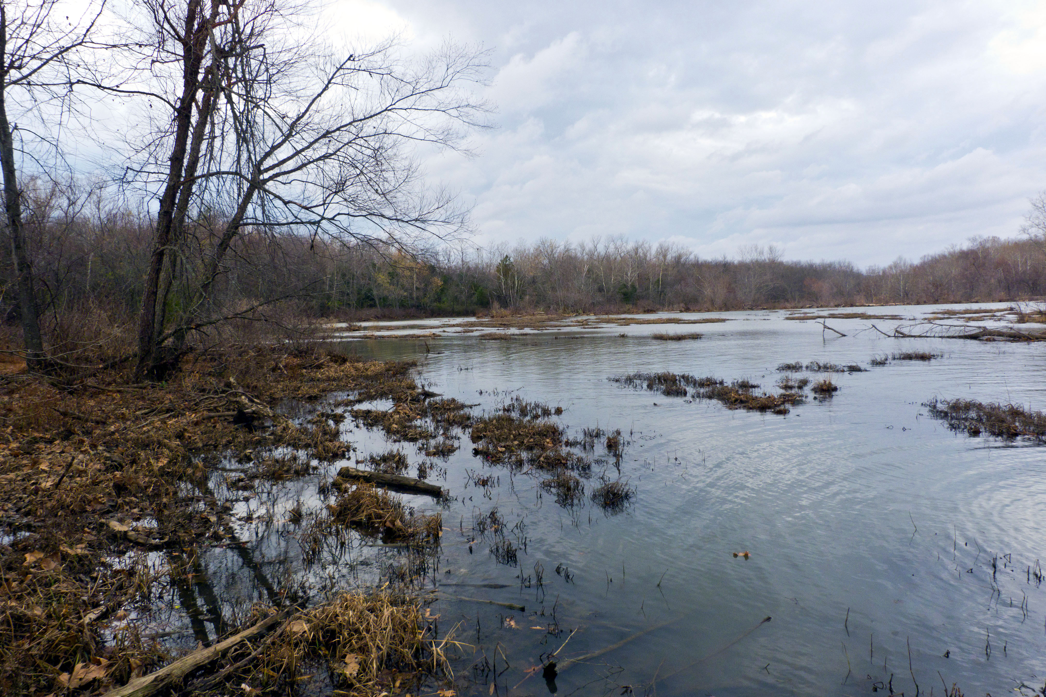
White River Miss Strata
White River Miss Strata
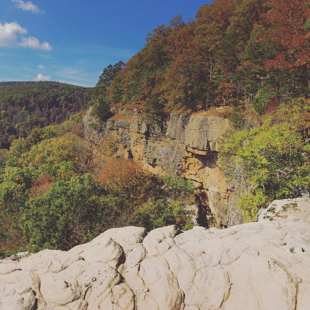
Hiking Whitaker Trail near Deer Arkansas.

JeanPaul-10.jpg

White River, Goshen AR
Topographic Map of Lamar Township, AR, USA
Find elevation by address:

Places in Lamar Township, AR, USA:
Places near Lamar Township, AR, USA:
16358 Hicks Rd
Goshen Township
13665 Laur-al Rd
14298 Danner Rd
14298 Danner Rd
E Bowen Blvd, Fayetteville, AR, USA
Goshen
Mayfield Rd, Fayetteville, AR, USA
Prairie Township
1222 Blue Springs Rd
Wyman Township
Brush Creek Township
Summer Rain Rd, Fayetteville, AR, USA
Justin Dr, Springdale, AR, USA
Silver Spur Rd, Springdale, AR, USA
Stewart Family Christmas Light Display
Camp War Eagle Inc
4109 Brushstroke Ln
Boston Mountain View
608 Rockcliff Rd
Recent Searches:
- Elevation of Woolwine, VA, USA
- Elevation of Lumagwas Diversified Farmers Multi-Purpose Cooperative, Lumagwas, Adtuyon, RV32+MH7, Pangantucan, Bukidnon, Philippines
- Elevation of Homestead Ridge, New Braunfels, TX, USA
- Elevation of Orchard Road, Orchard Rd, Marlborough, NY, USA
- Elevation of 12 Hutchinson Woods Dr, Fletcher, NC, USA
- Elevation of Holloway Ave, San Francisco, CA, USA
- Elevation of Norfolk, NY, USA
- Elevation of - San Marcos Pass Rd, Santa Barbara, CA, USA
- Elevation of th Pl SE, Issaquah, WA, USA
- Elevation of 82- D Rd, Captain Cook, HI, USA