Elevation of Lakewood Road, Lakewood Rd, East Hampton, CT, USA
Location: United States > Connecticut > Middlesex County > East Hampton > East Hampton > Lake Pocotopaug >
Longitude: -72.512893
Latitude: 41.6033759
Elevation: 150m / 492feet
Barometric Pressure: 100KPa
Elevation Map:
Satellite Map:
Related Photos:

River view at sunrise

View of Hartford Sky from Glastonbury, CT

durham engine 1 (view 2)

O'Rourke's Diner neon sign before restoration

westfield tower 6 (view 2)

Turbulent Skies, Calm Waters

cromwell utility 3 (view 2)

westfield rescue 3 (view 3)

Woodland Meadow.

cromwell ladder 3 (view 4)

'gold in the grid

'69 VW at O'Rourke's Diner.

westfield EMS 7 (view 2)

Rose's Berry Farm.

Shadow Fall

durham rescue 3 (view 2)
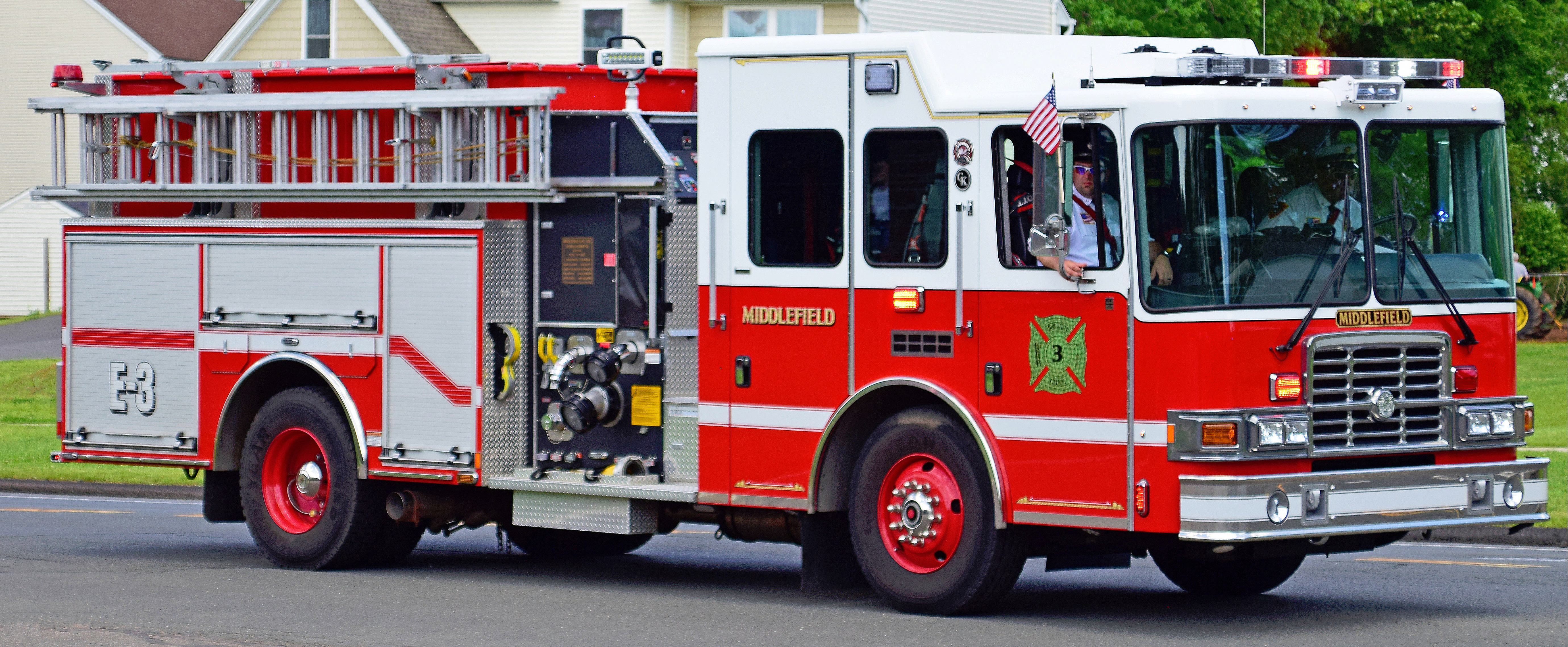
middlefield engine 3 (view 3)

westfield tanker 4 (view 2)

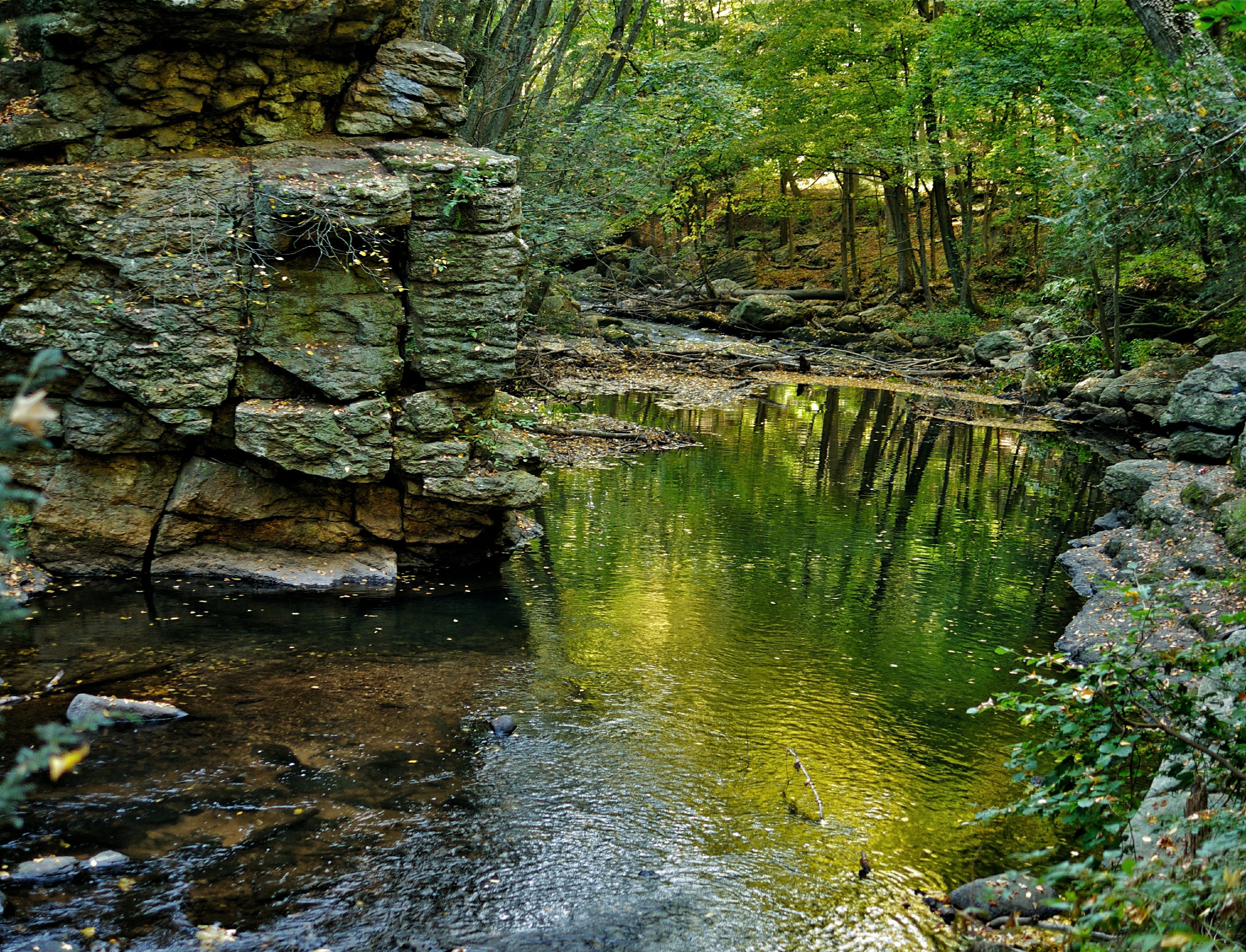
Salmon Brook, Glastonbury, Connecticut

Black & White, high contrast with extra sharpening thrown in for good measure (208/365)

Johnson Mill Pond Sunset
Waterfall Wake-up Call
Super Shower

I Forgot...

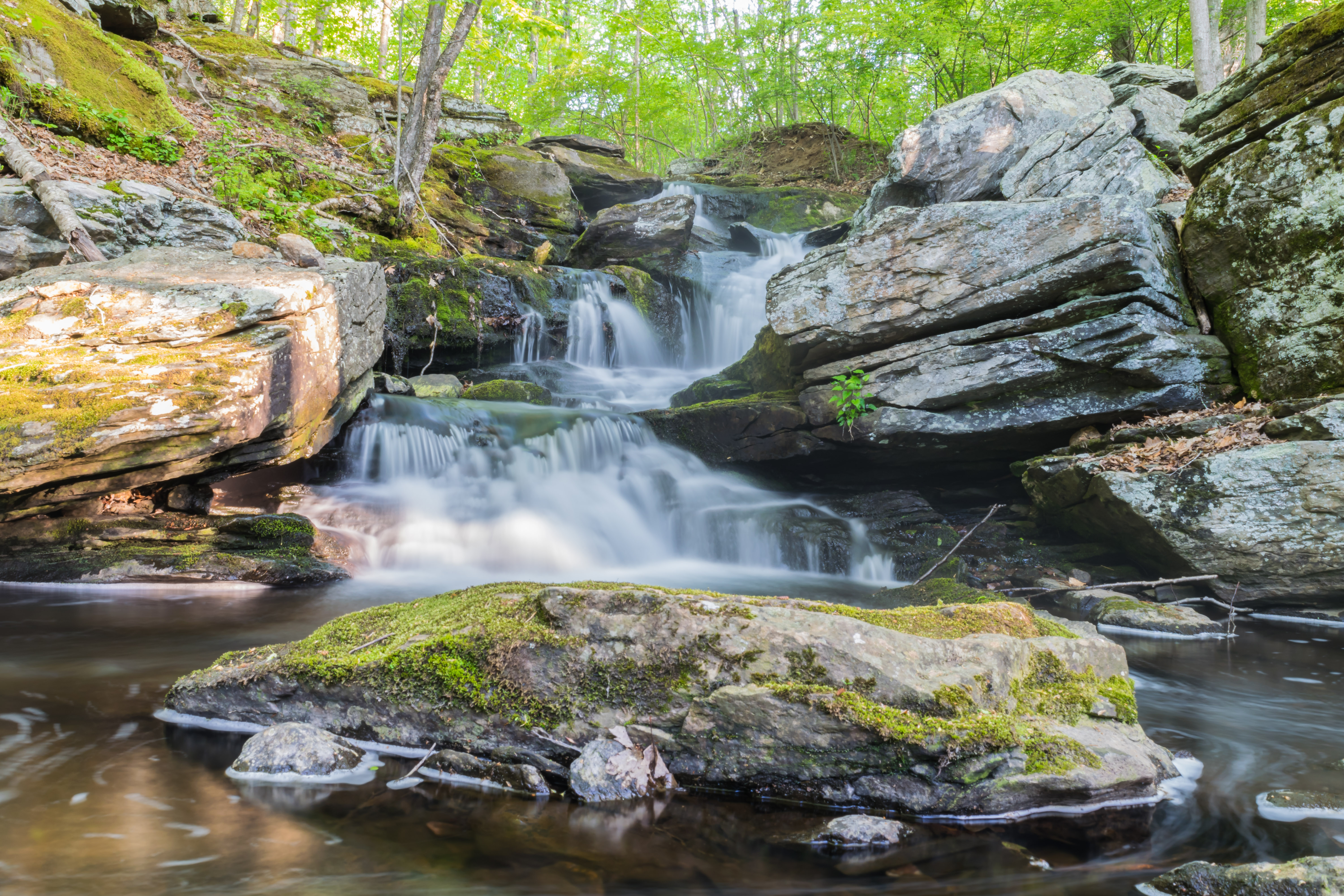
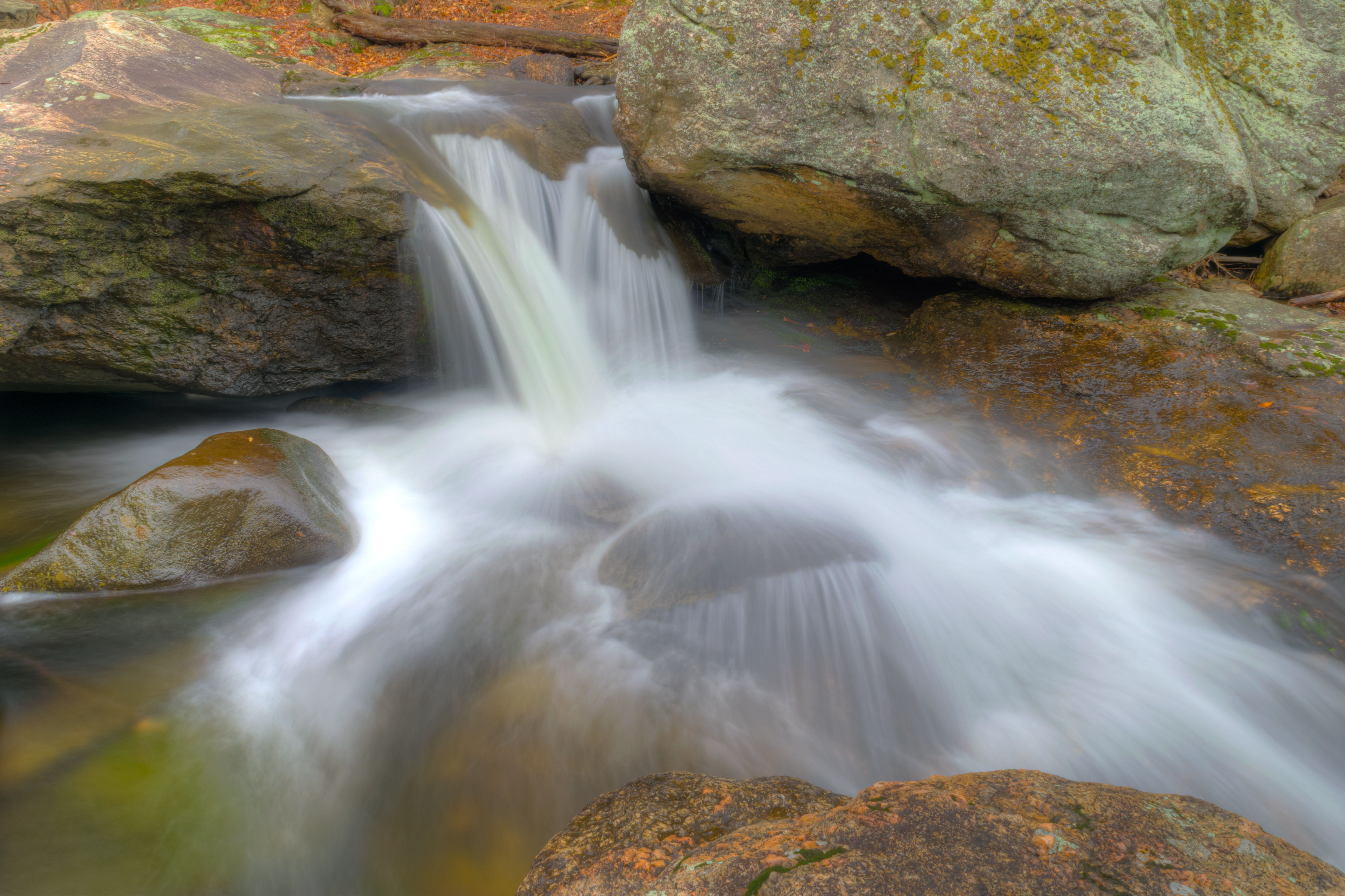
Little Waterfall
Lucky Number 7
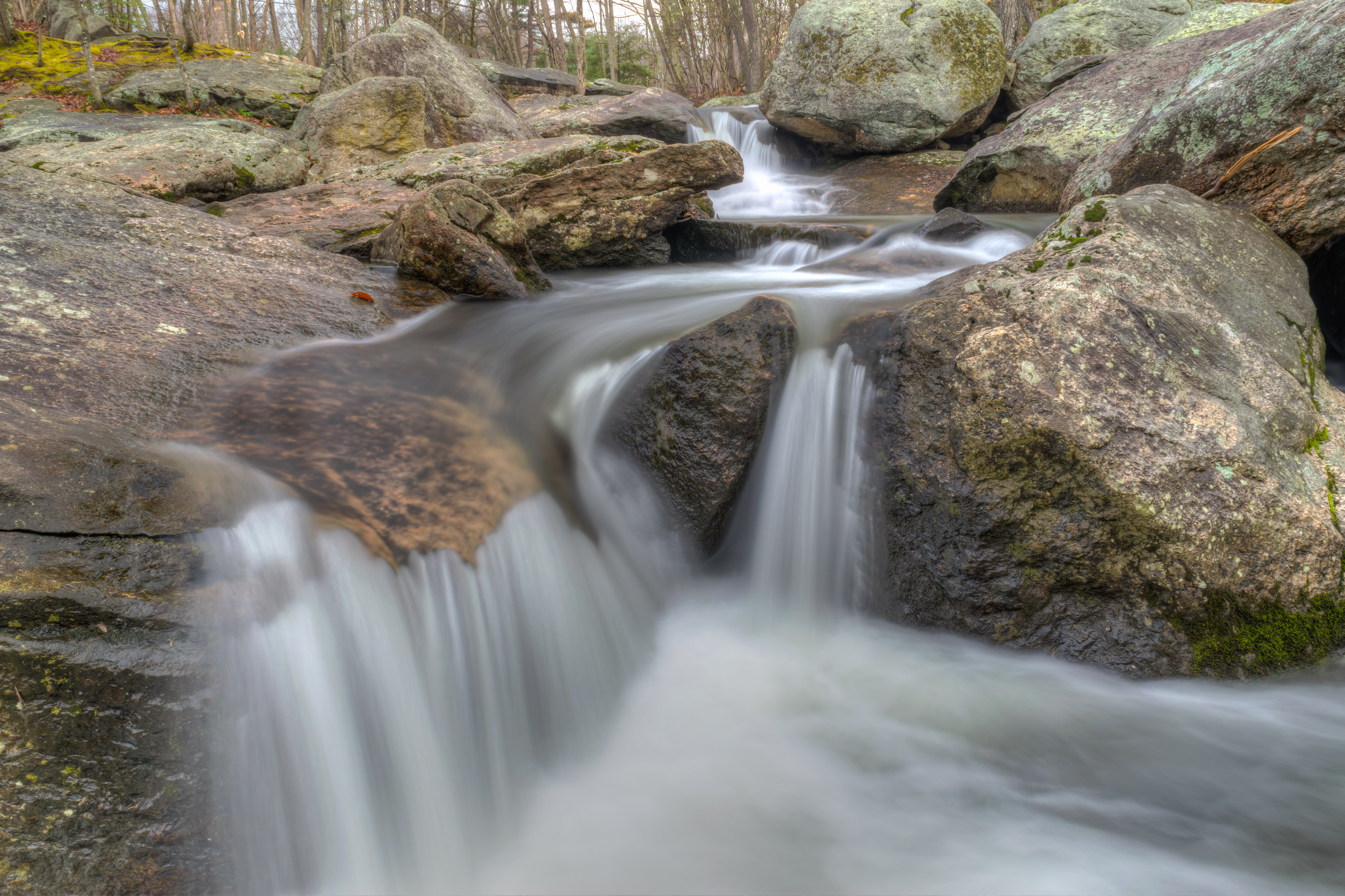
In the path of whitewater

Go with the Flow

The softer side of rock at Seven Falls
In the Spray Zone

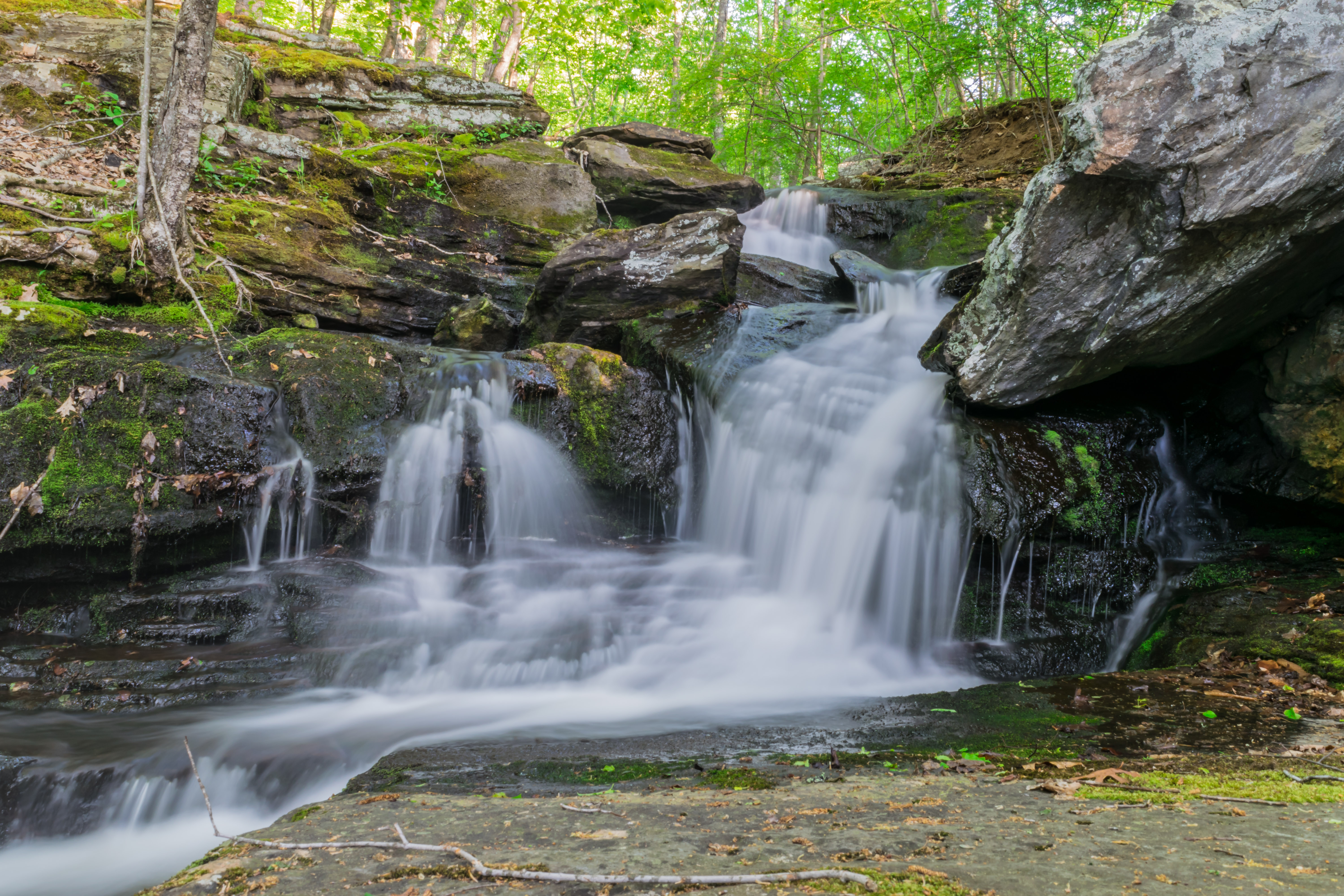
Running Through the Rocks

Brownstone Exploration & Discovery Park II

Paisley Dragon

October 3 2013

Light upon the Water

Leesville Road Waterfall

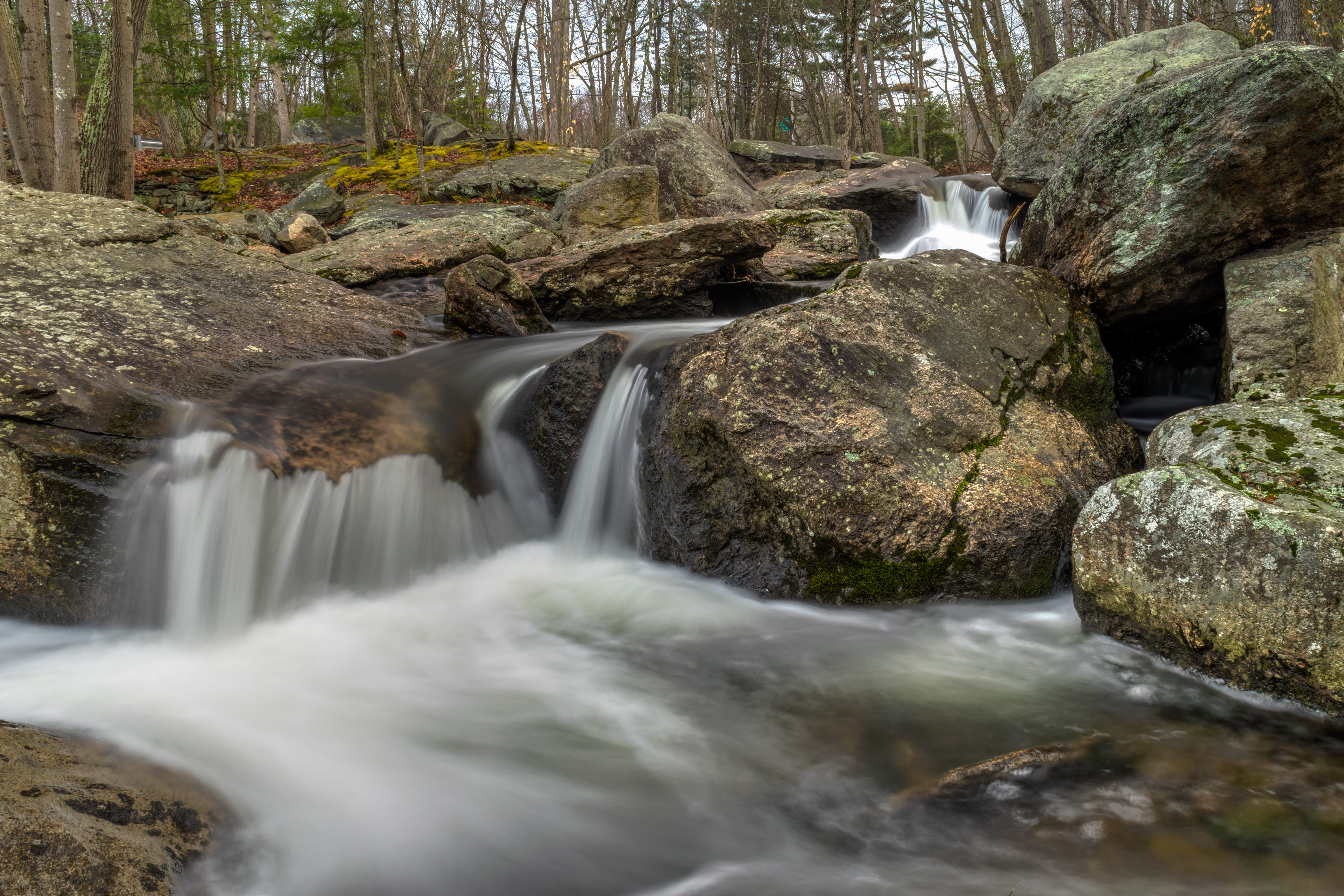
End of Winter Waterfall - Portland
Green and Yellow Glow.
Topographic Map of Lakewood Road, Lakewood Rd, East Hampton, CT, USA
Find elevation by address:

Places near Lakewood Road, Lakewood Rd, East Hampton, CT, USA:
Lake Pocotopaug
85 Clark Hill Rd
87 Clark Hill Rd
129 Clark Hill Rd
29 Day Point Rd
117 Clark Hill Rd
129a Clark Hill Rd
119 Hill Rd
121 Hill Rd
123 Hill Rd
125 Hill Rd
127 Hill Rd
131 Clark Hill Rd
13 Sherry Dr
307 Lake Vista Dr
20 Tarragon Dr
203 White Birch Rd
East Hampton
East Hampton
North American Grappling Association (naga)
Recent Searches:
- Elevation of Lampiasi St, Sarasota, FL, USA
- Elevation of Elwyn Dr, Roanoke Rapids, NC, USA
- Elevation of Congressional Dr, Stevensville, MD, USA
- Elevation of Bellview Rd, McLean, VA, USA
- Elevation of Stage Island Rd, Chatham, MA, USA
- Elevation of Shibuya Scramble Crossing, 21 Udagawacho, Shibuya City, Tokyo -, Japan
- Elevation of Jadagoniai, Kaunas District Municipality, Lithuania
- Elevation of Pagonija rock, Kranto 7-oji g. 8"N, Kaunas, Lithuania
- Elevation of Co Rd 87, Jamestown, CO, USA
- Elevation of Tenjo, Cundinamarca, Colombia