Elevation of Lakeshore Dr, Langston, AL, USA
Location: United States > Alabama > Jackson County >
Longitude: -86.073807
Latitude: 34.5550735
Elevation: 202m / 663feet
Barometric Pressure: 99KPa
Elevation Map:
Satellite Map:
Related Photos:
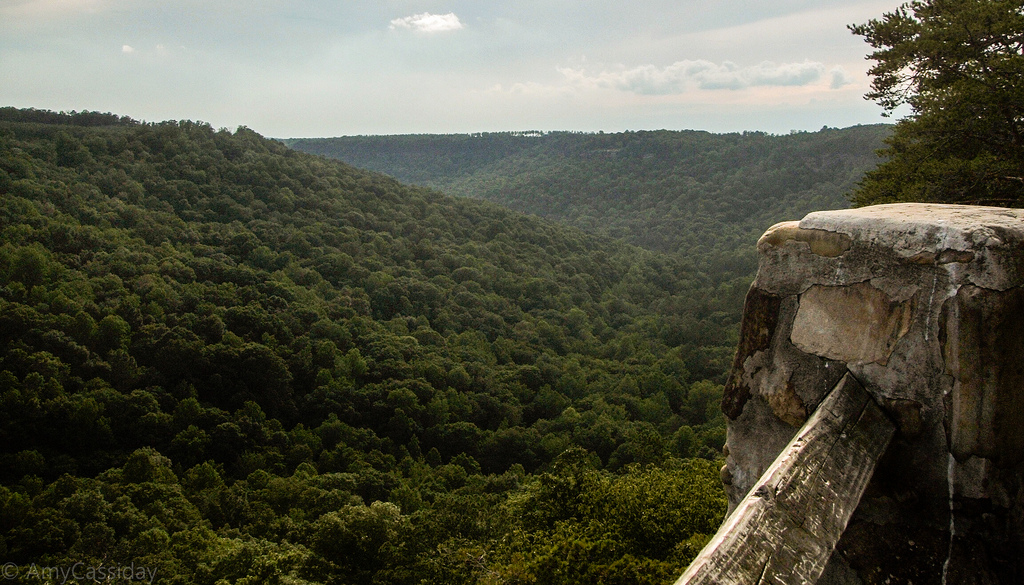
Buck's Pocket State Park

The way out
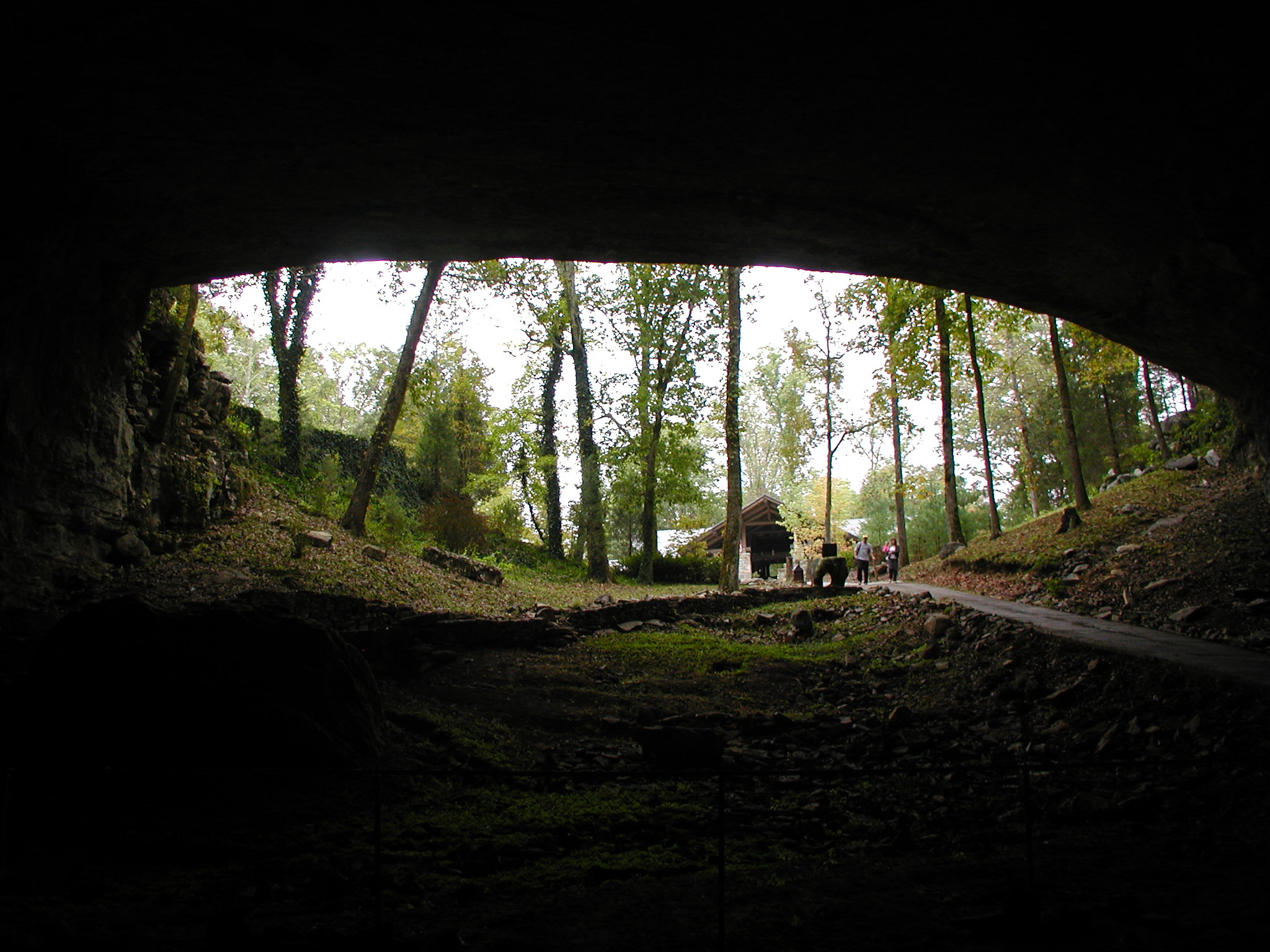
Out of the Darkness
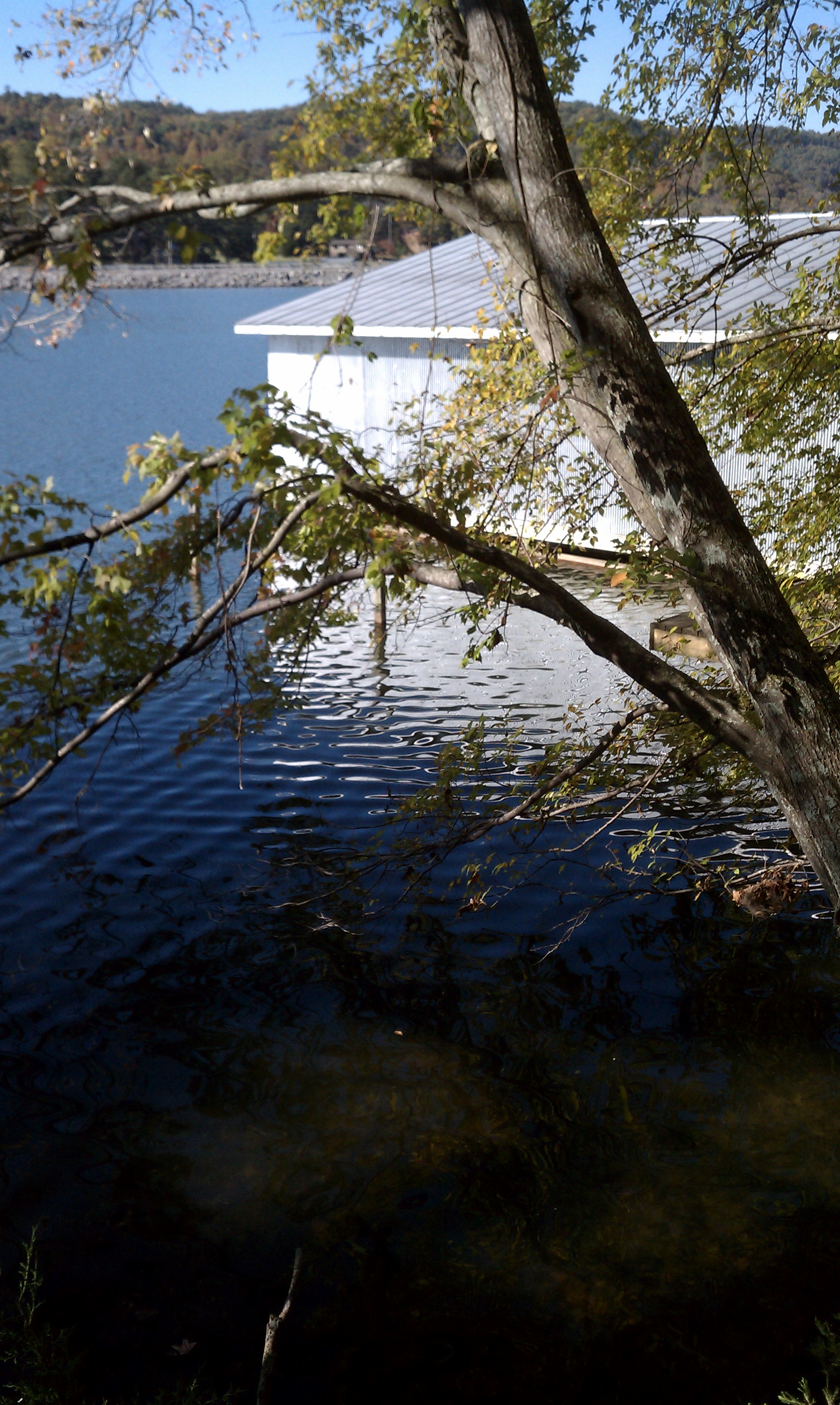
Cabin lake view
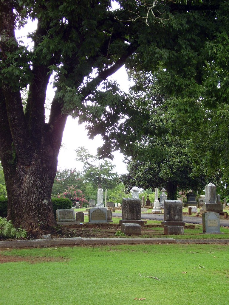
An Older Section of Cedar Hill Cemetery
Cabin lake view
Cthulhu says turn the flash off!
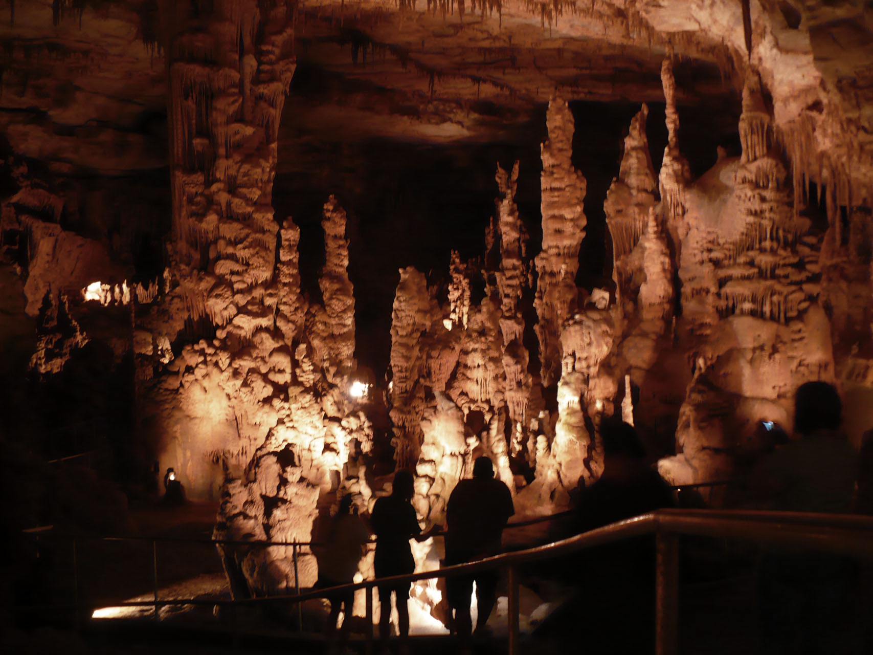
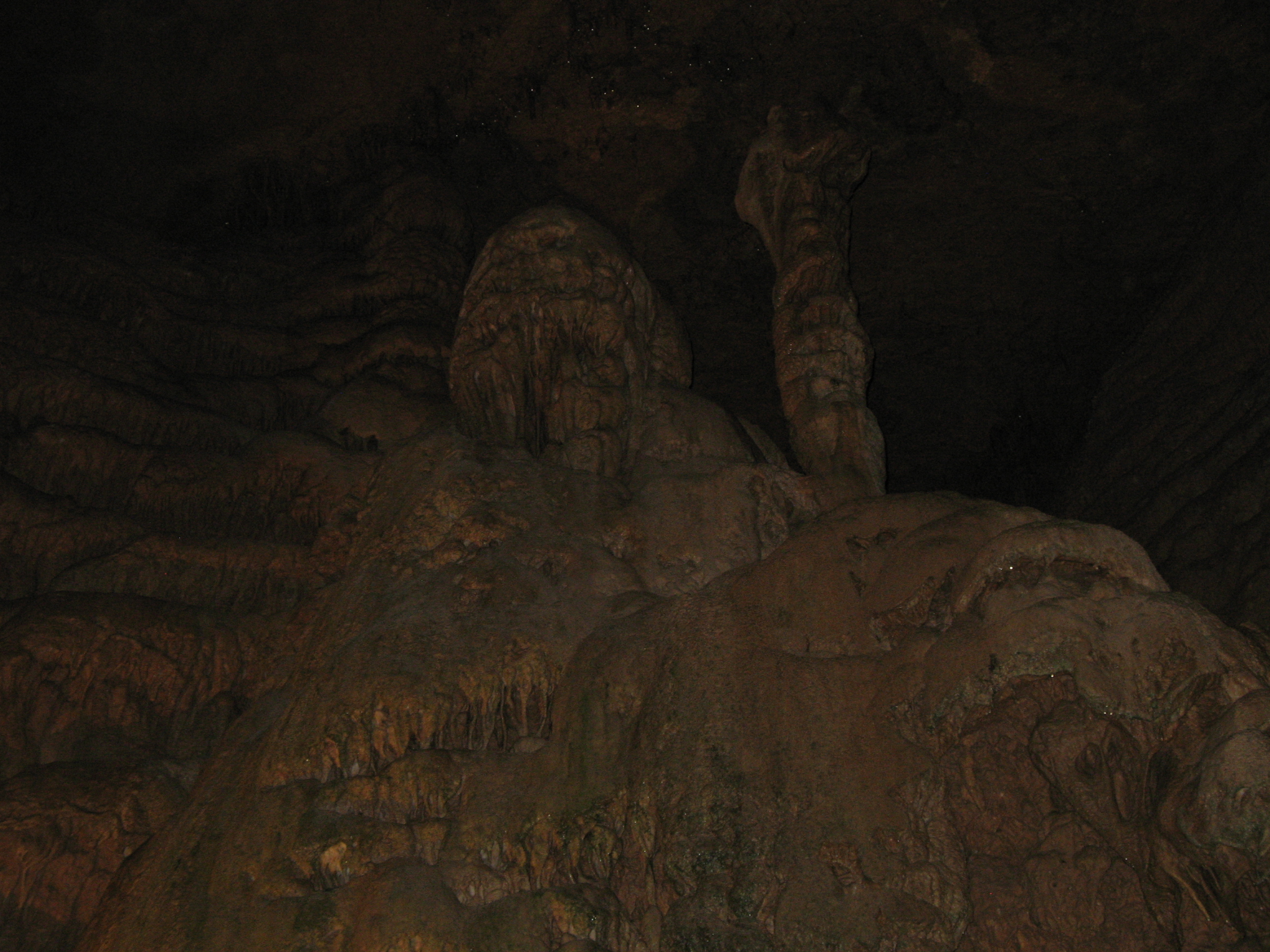
cathedral caverns view
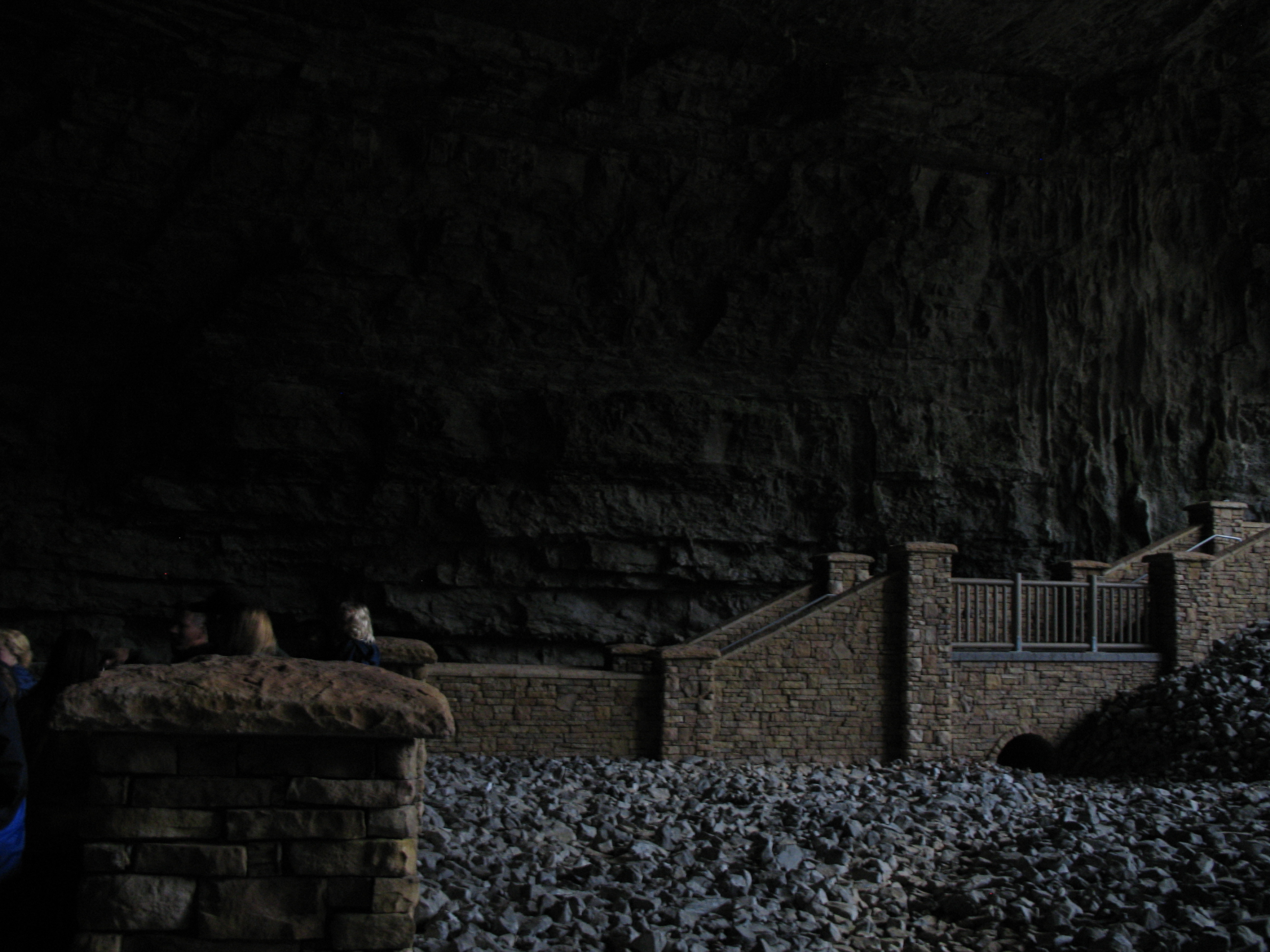
An "improved" cave entrance
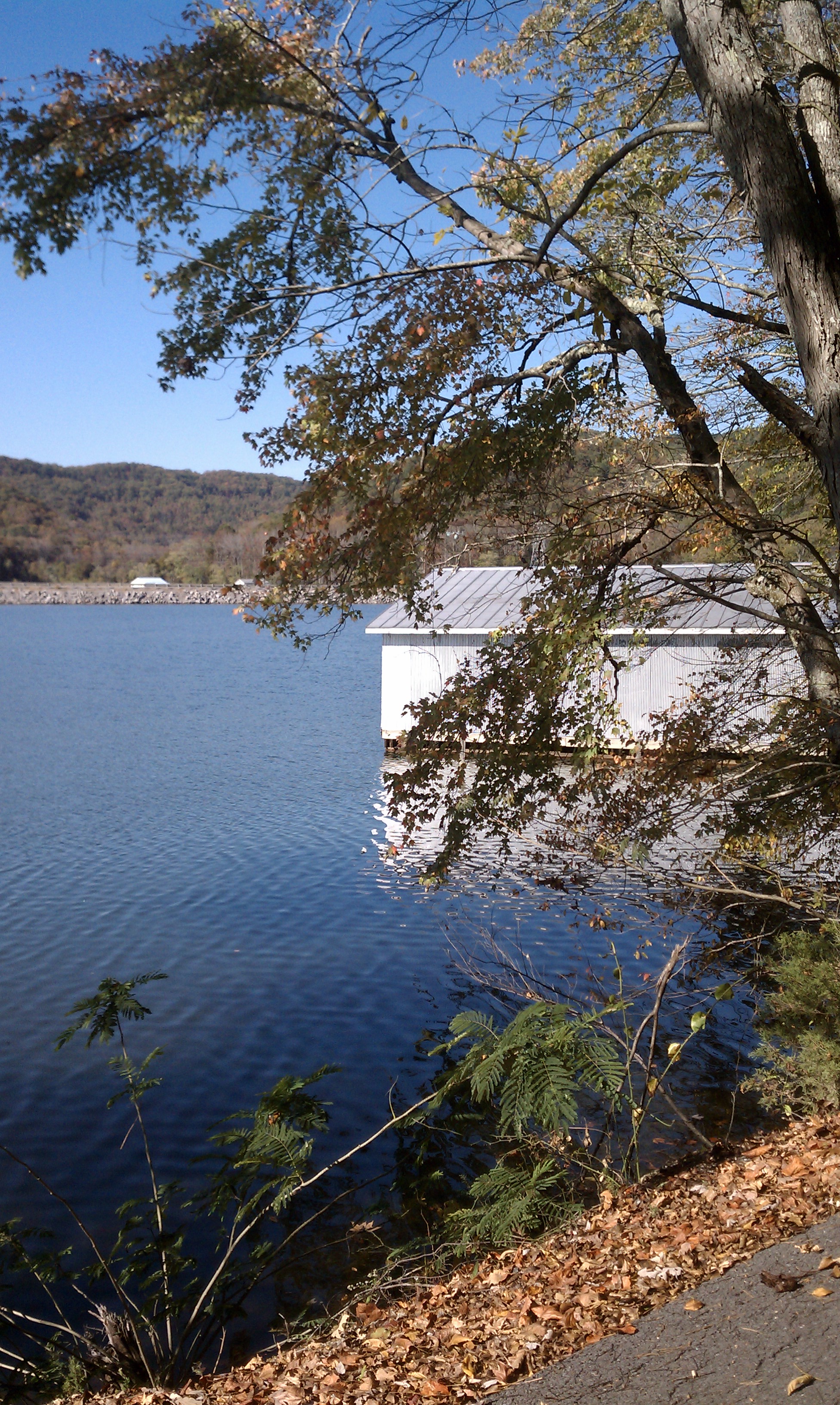
Cabin lake view
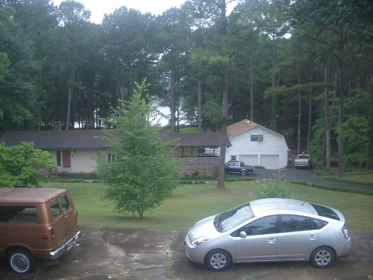
View from Grandparents Guthrie's house

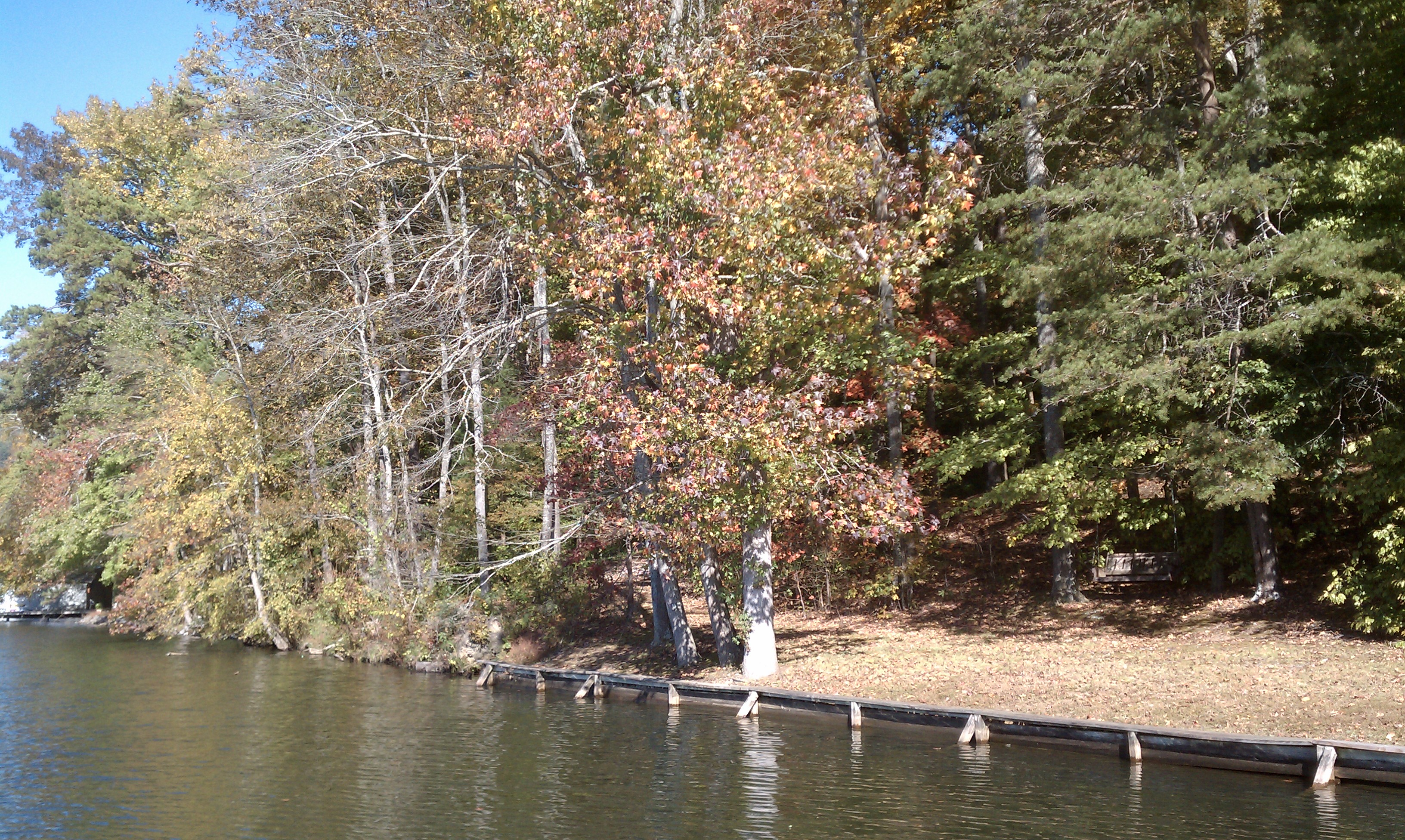
Cabin lake view
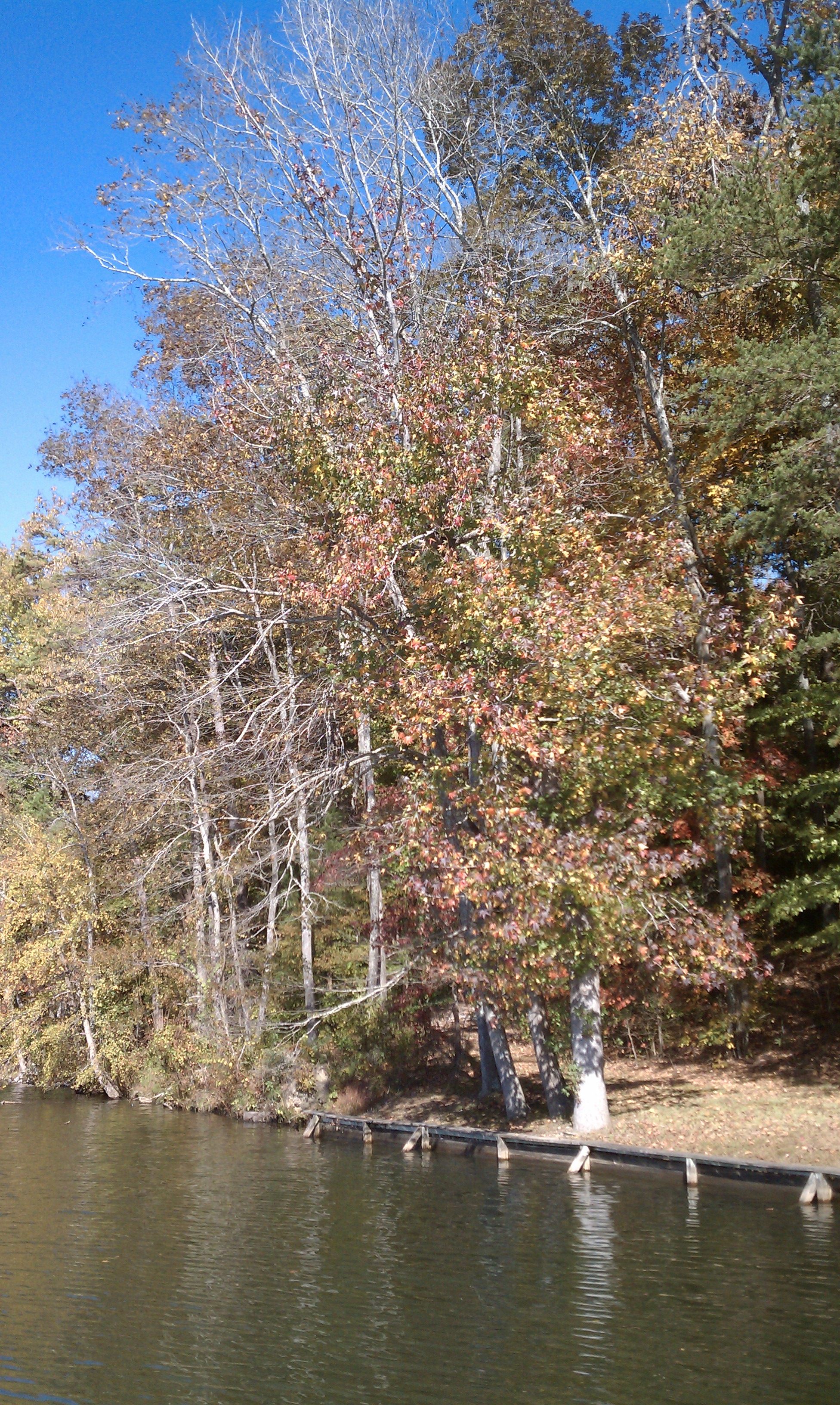
Cabin lake view
Cabin lake view

Perch with a view
Had to turn back here because it was getting late.

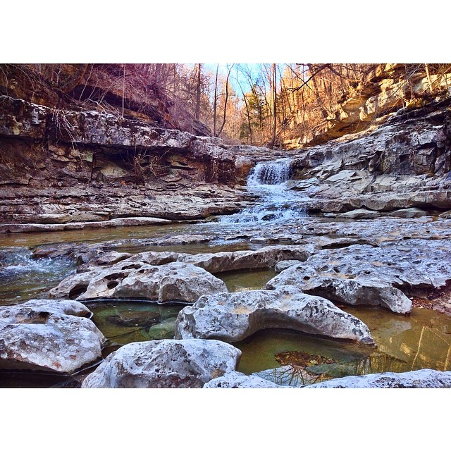
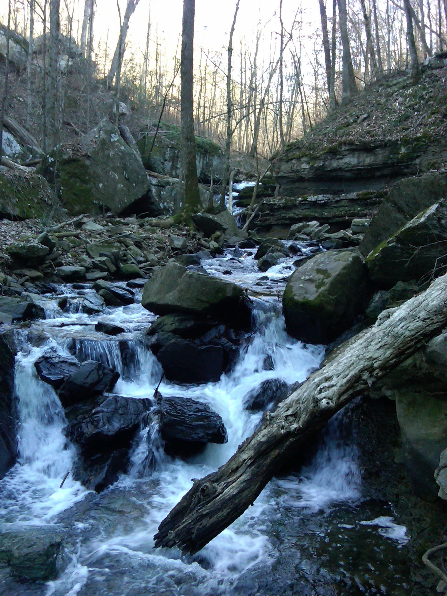
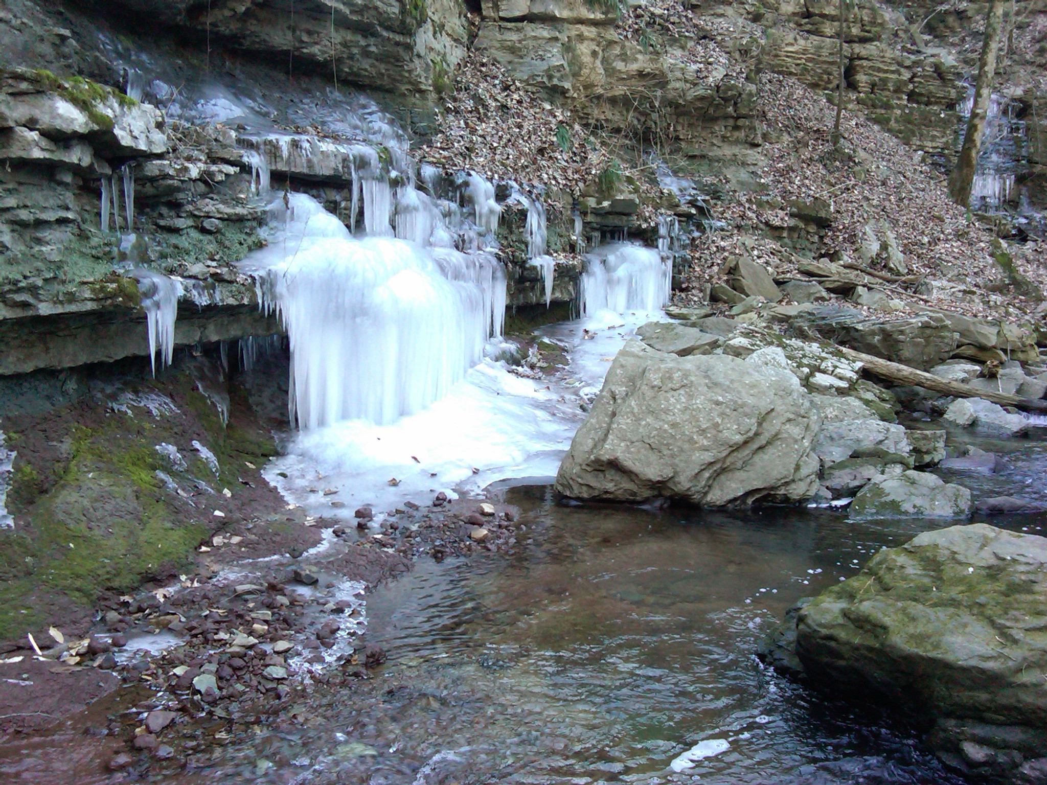
227 Waterfall
IMG00186-20100115-1345
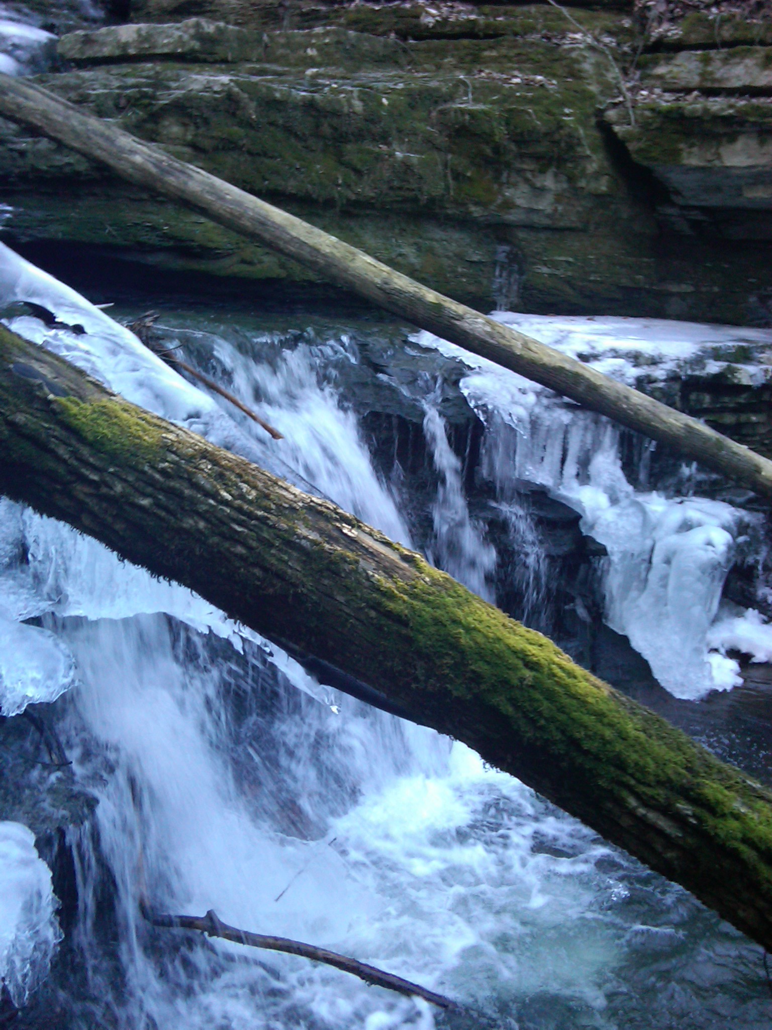
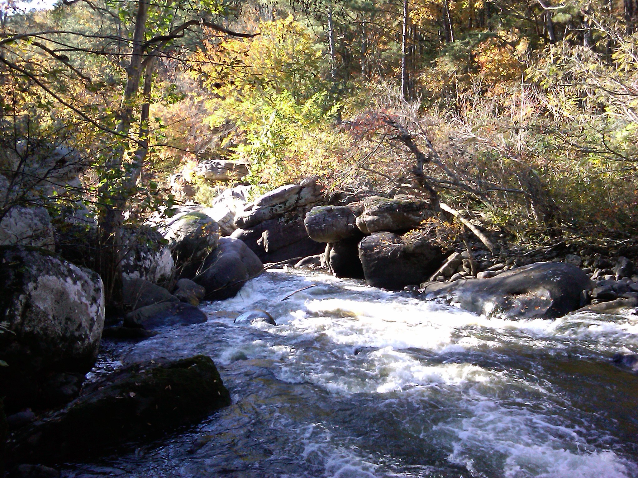
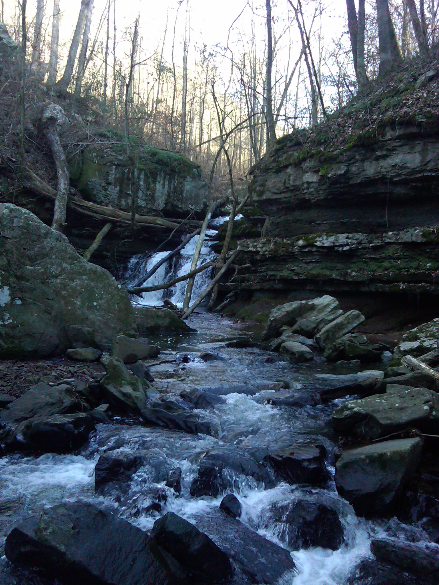
Joe's Accidental Falls
IMG00189-20100115-1346

IMG00195-20100115-1420

IMG00018-20091101-1450
IMG00115-20091229-1426
IMG00017-20091101-1449

IMG00046-20091222-1243

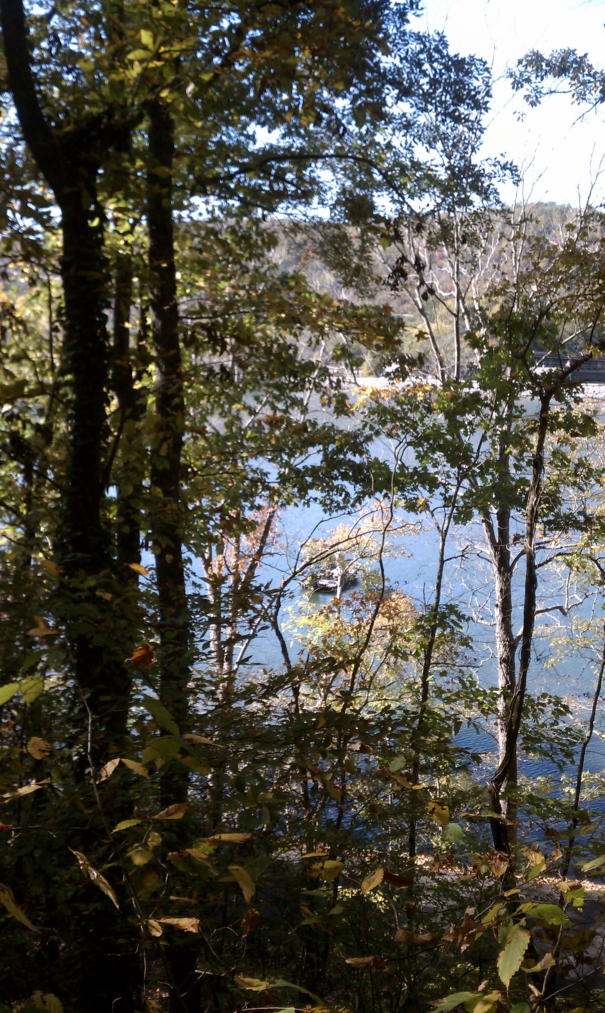
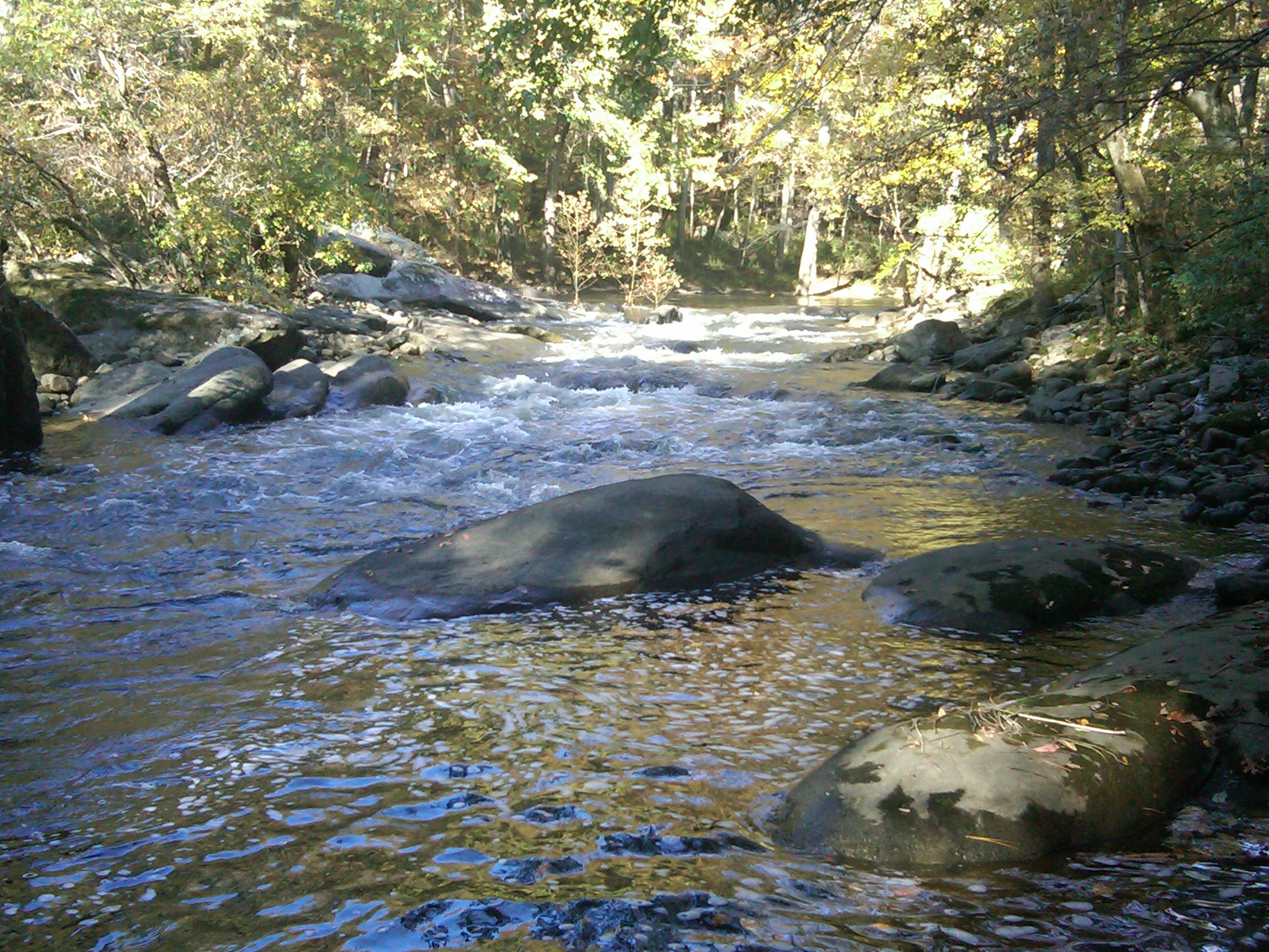
Guntersville Lake Alabama
IMG00020-20091101-1454

IMG00170-20100115-1338
IMG00019-20091101-1451

IMG00168-20100115-1334

IMG00037-20091101-1610
IMG00177-20100115-1341
IMG00108-20091229-1415
IMG00042-20091222-1239
IMG00059-20091222-1257
Find Eric. Lol! #hunting #camouflage #trees #leaves
Topographic Map of Lakeshore Dr, Langston, AL, USA
Find elevation by address:

Places near Lakeshore Dr, Langston, AL, USA:
Gurney Lane
352 Mountainview Cir
Langston
14265 Co Rd 67
AL-79, Scottsboro, AL, USA
Co Rd 44, Section, AL, USA
Co Rd 43, Section, AL, USA
Section
2808 Co Rd 62
Co Rd 38, Section, AL, USA
Co Rd 50, Fyffe, AL, USA
75 Hodge Rd
Dutton
Powell
N Broad St, Powell, AL, USA
Poole Circle
165 Poole Cir
1283 Clements Rd Sw
200 2nd Ave Nw
Kaysie Price: Allstate Insurance
Recent Searches:
- Elevation of Sarangdanda, Nepal
- Elevation of 7 Waterfall Way, Tomball, TX, USA
- Elevation of SW 57th Ave, Portland, OR, USA
- Elevation of Crocker Dr, Vacaville, CA, USA
- Elevation of Pu Ngaol Community Meeting Hall, HWHM+3X7, Krong Saen Monourom, Cambodia
- Elevation of Royal Ontario Museum, Queens Park, Toronto, ON M5S 2C6, Canada
- Elevation of Groblershoop, South Africa
- Elevation of Power Generation Enterprises | Industrial Diesel Generators, Oak Ave, Canyon Country, CA, USA
- Elevation of Chesaw Rd, Oroville, WA, USA
- Elevation of N, Mt Pleasant, UT, USA