Elevation of Lake St, Lake Linden, MI, USA
Location: United States > Michigan > Keweenaw County > Sherman Township >
Longitude: -88.164155
Latitude: 47.2269662
Elevation: 191m / 627feet
Barometric Pressure: 99KPa
Elevation Map:
Satellite Map:
Related Photos:
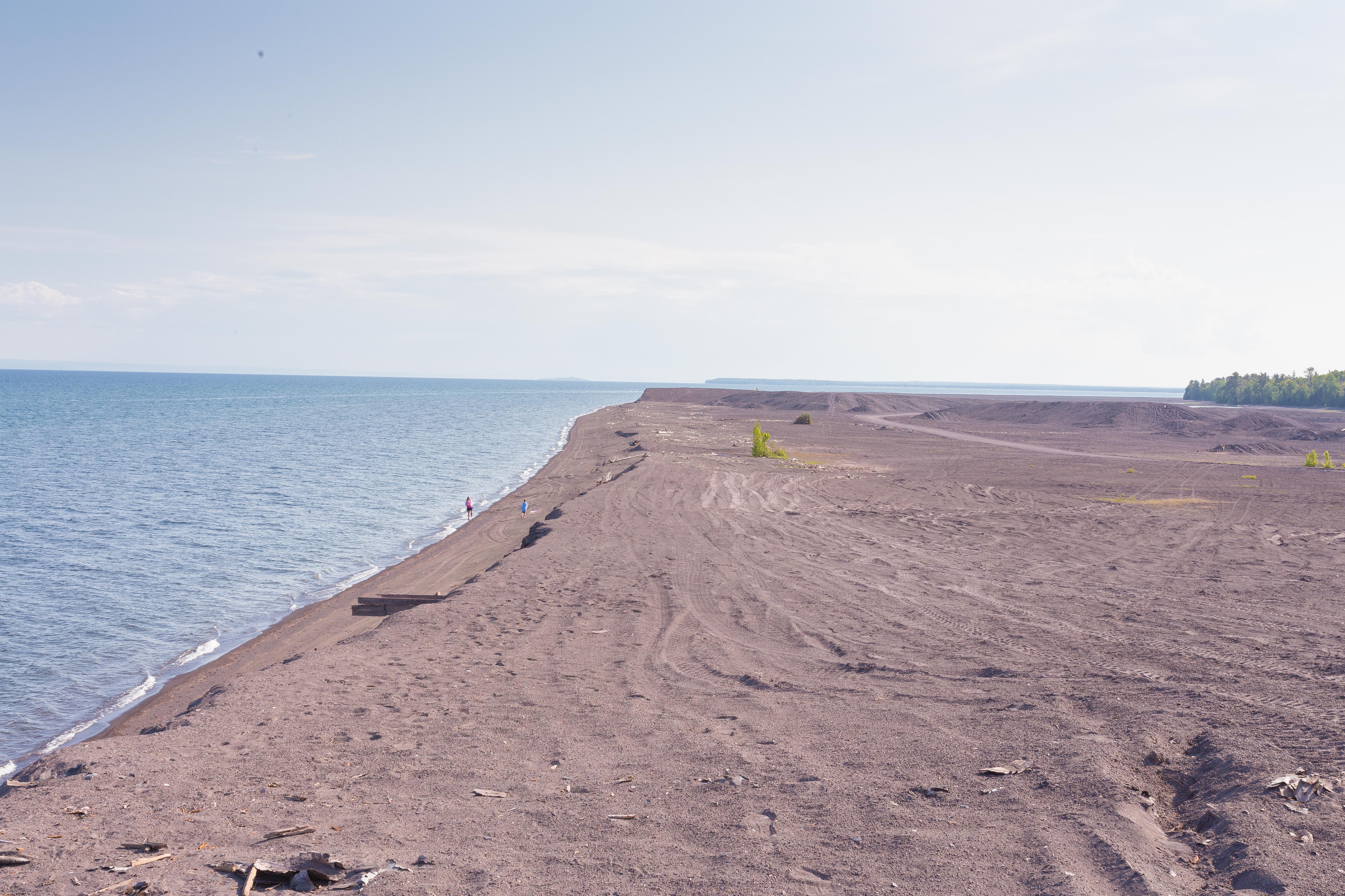
Stamp Sand Looking South
Dan's new camp

Big Traverse Bay

Beautiful Sky.

WinterRebel-83.jpg

WinterRebel-96.jpg
WinterRebel-20.jpg
WinterRebel-82.jpg
UP_scenes - 067

WinterRebel-64.jpg
SummerHomes2004--144.jpg
SummerHomes2004--142.jpg
SummerHomes2004--161.jpg
WinterRebel-94.jpg
SummerHomes2004--159.jpg

WinterRebel-97.jpg
Squall over Lake Superior

Lake Superior sunrise

1969 August - Sunset at Stefani camp, Rice Lake, U.P., Michigan

Winter on the Tobacco
2011_07_03 Cottage 009
WinterRebel-95.jpg

1970-ish - sunset at Stefani camp, Rice Lake, U.P., Michigan
Topographic Map of Lake St, Lake Linden, MI, USA
Find elevation by address:

Places near Lake St, Lake Linden, MI, USA:
Sherman Township
Keweenaw County
Heikkinen Road
Grant Township
5064 Us-41
52 Mohawk St
Mohawk
Lac La Belle, Mohawk, MI, USA
8105 Sand Dune Ct
8105 Sand Dune Ct
Eagle River
Gratiot St, Copper City, MI, USA
Copper City
Allouez Township
Bete Grise Preserve
1307 Front St
31 3rd St, Allouez, MI, USA
Allouez
Calumet Township
425 Florida St
Recent Searches:
- Elevation of Corso Fratelli Cairoli, 35, Macerata MC, Italy
- Elevation of Tallevast Rd, Sarasota, FL, USA
- Elevation of 4th St E, Sonoma, CA, USA
- Elevation of Black Hollow Rd, Pennsdale, PA, USA
- Elevation of Oakland Ave, Williamsport, PA, USA
- Elevation of Pedrógão Grande, Portugal
- Elevation of Klee Dr, Martinsburg, WV, USA
- Elevation of Via Roma, Pieranica CR, Italy
- Elevation of Tavkvetili Mountain, Georgia
- Elevation of Hartfords Bluff Cir, Mt Pleasant, SC, USA