Elevation of Lake Sebu, South Cotabato, Philippines
Location: Philippines > Region Xii > South Cotabato >
Longitude: 124.552838
Latitude: 6.2447394
Elevation: 941m / 3087feet
Barometric Pressure: 91KPa
Elevation Map:
Satellite Map:
Related Photos:
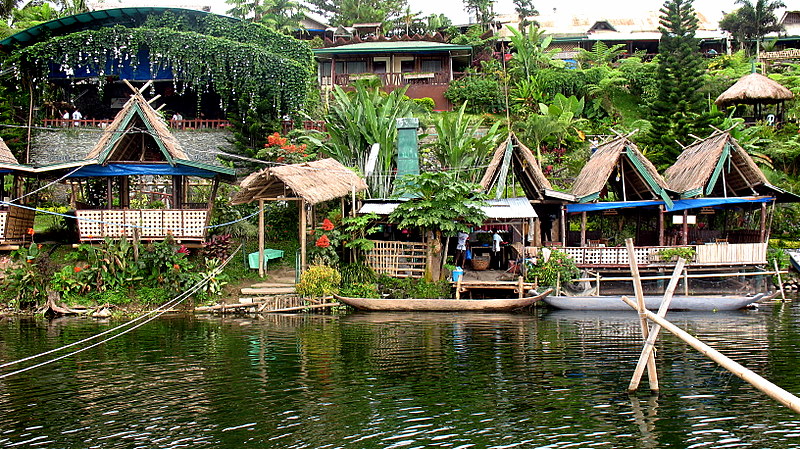
punta isla resort
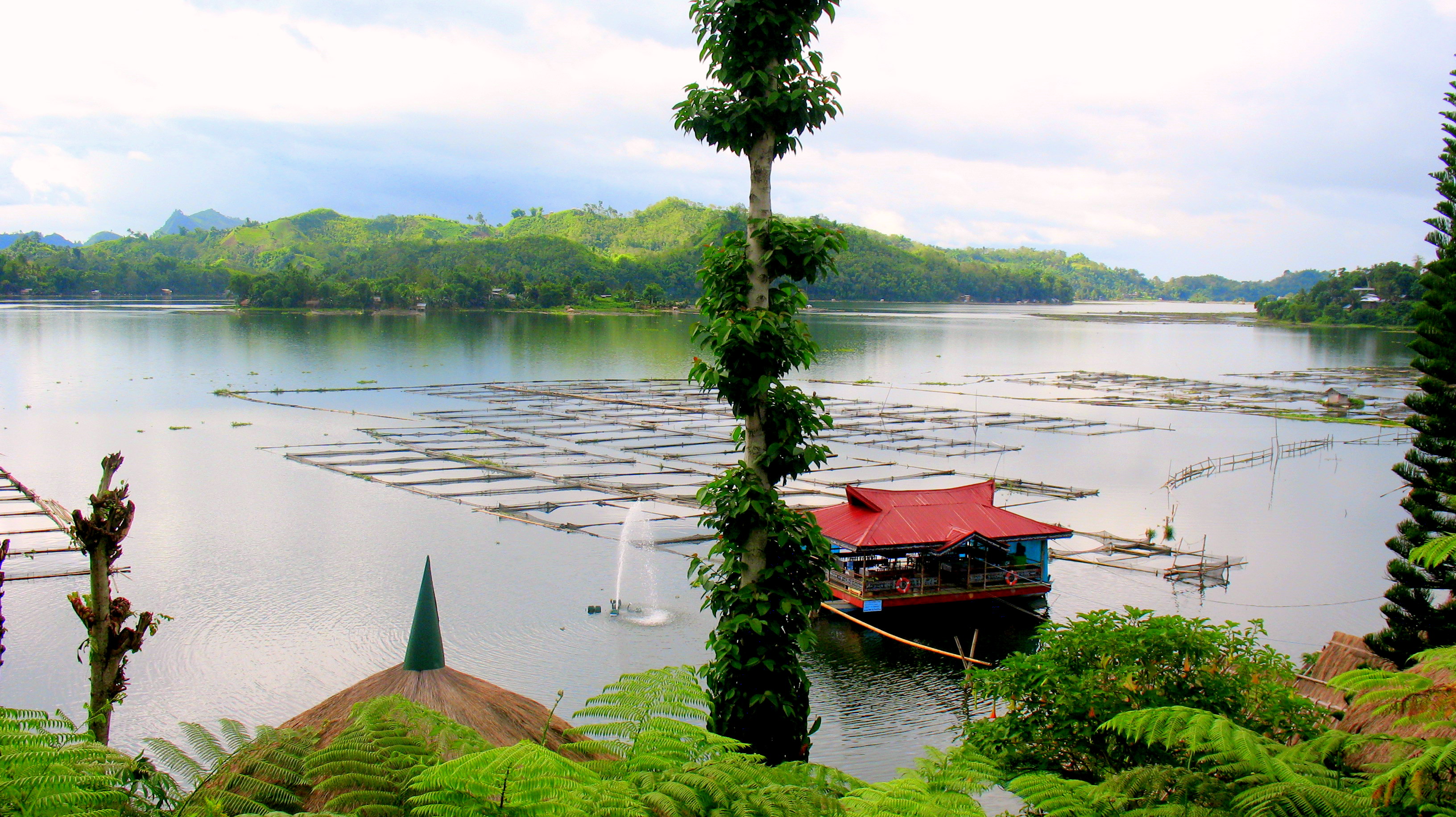
lake sebu

Travelled two hours from General Santos City just to meet @cherryroxanne and Marian in Lake Sebu for dinner. #whatafriendship

Uses of a Sarong
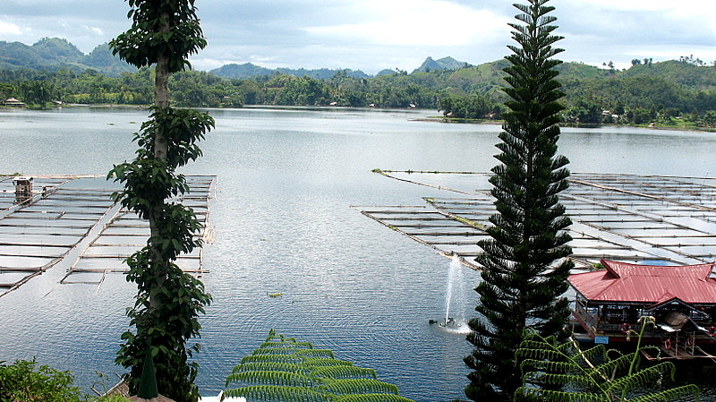
punta isla resort
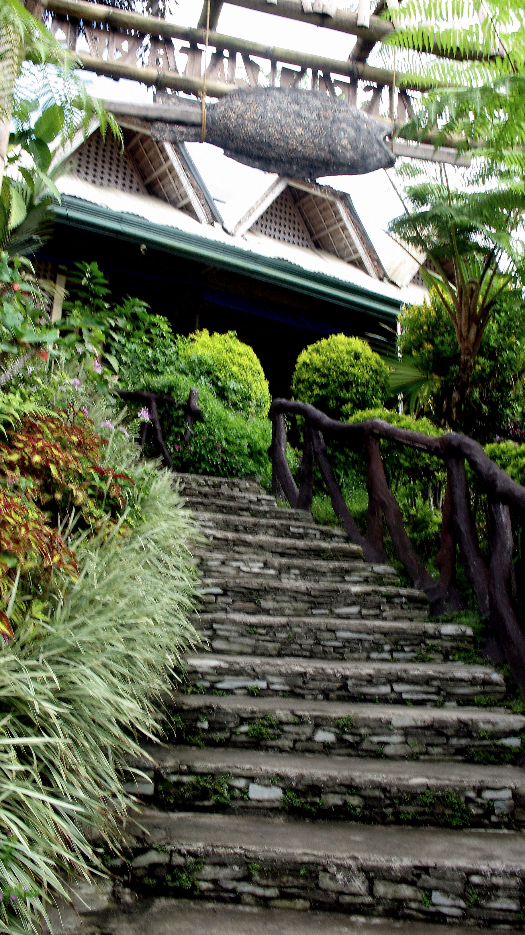
punta isla resort
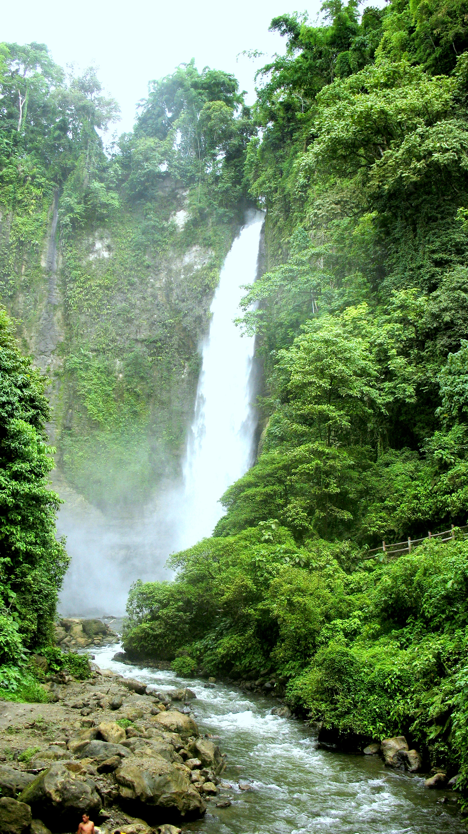
Falls no.2
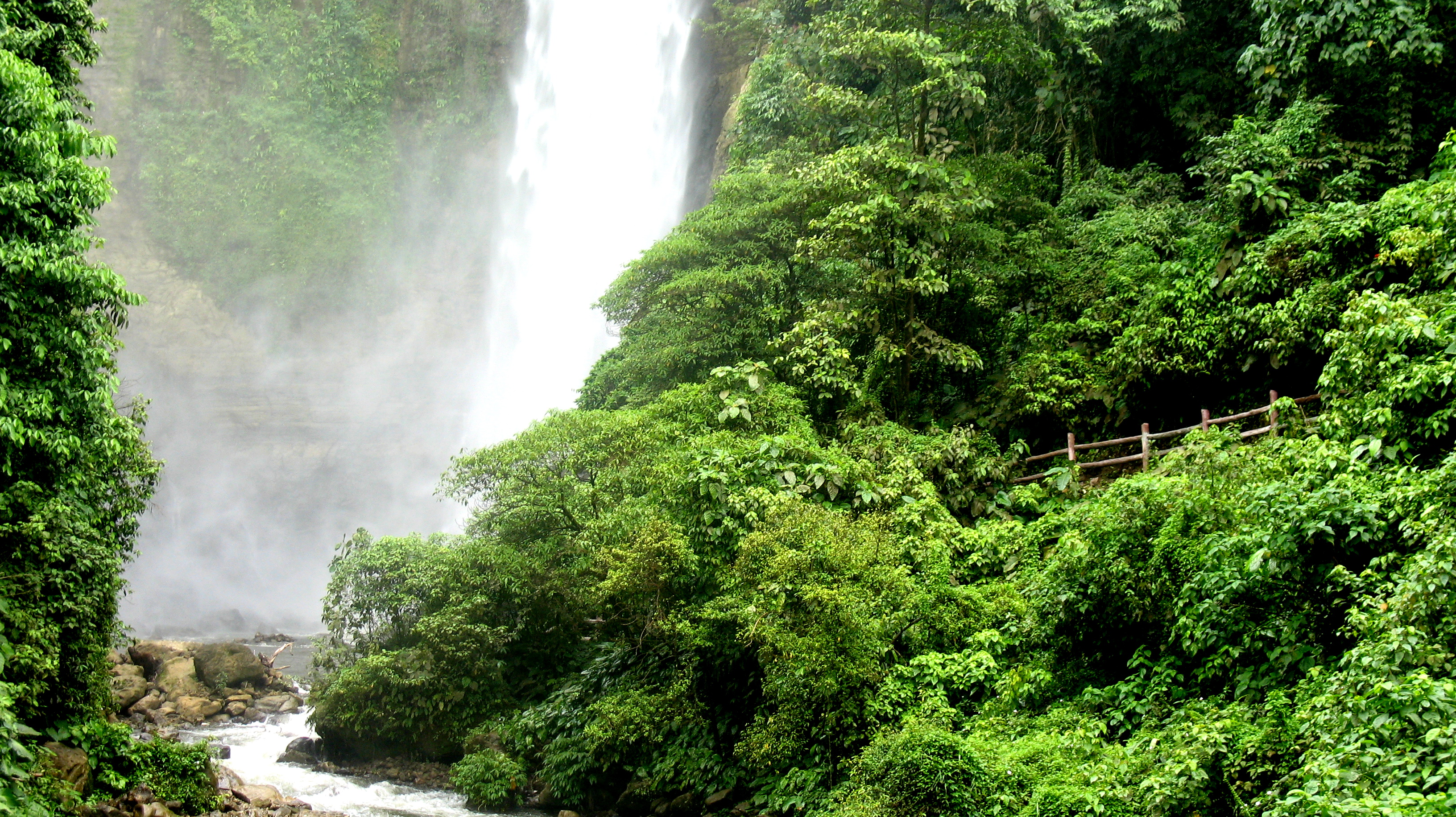
falls no.2
Topographic Map of Lake Sebu, South Cotabato, Philippines
Find elevation by address:

Places near Lake Sebu, South Cotabato, Philippines:
Region Xii
Divine Mercy Shrine
Surallah
South Cotabato
Lamsugod
Banga
Bagumbayan
Sultan Kudarat
Derilon
Parker Volcano
Mount Melibengoy
Koronadal City
Barangay Caloocan
Tupi
Esperanza
Poblacion
Flying-v Gasoline Station
Brgy. Hall Saliao
Pagalungan Barangay Hall
Polomolok
Recent Searches:
- Elevation of Vista Blvd, Sparks, NV, USA
- Elevation of 15th Ave SE, St. Petersburg, FL, USA
- Elevation of Beall Road, Beall Rd, Florida, USA
- Elevation of Leguwa, Nepal
- Elevation of County Rd, Enterprise, AL, USA
- Elevation of Kolchuginsky District, Vladimir Oblast, Russia
- Elevation of Shustino, Vladimir Oblast, Russia
- Elevation of Lampiasi St, Sarasota, FL, USA
- Elevation of Elwyn Dr, Roanoke Rapids, NC, USA
- Elevation of Congressional Dr, Stevensville, MD, USA