Elevation of Lake Rd, Ontario N0N 1J1, Canada
Location: Canada > Ontario > Lambton County >
Longitude: -82.018520
Latitude: 43.2142608
Elevation: -10000m / -32808feet
Barometric Pressure: 295KPa
Elevation Map:
Satellite Map:
Related Photos:

well scored (xplrd)

St. James' Presbyterian of Forest, Ontario

The Old man at the beach
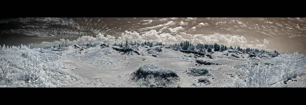
Pinery Dunes, Infrared Panorama

Camper view - Ipperwash Ont
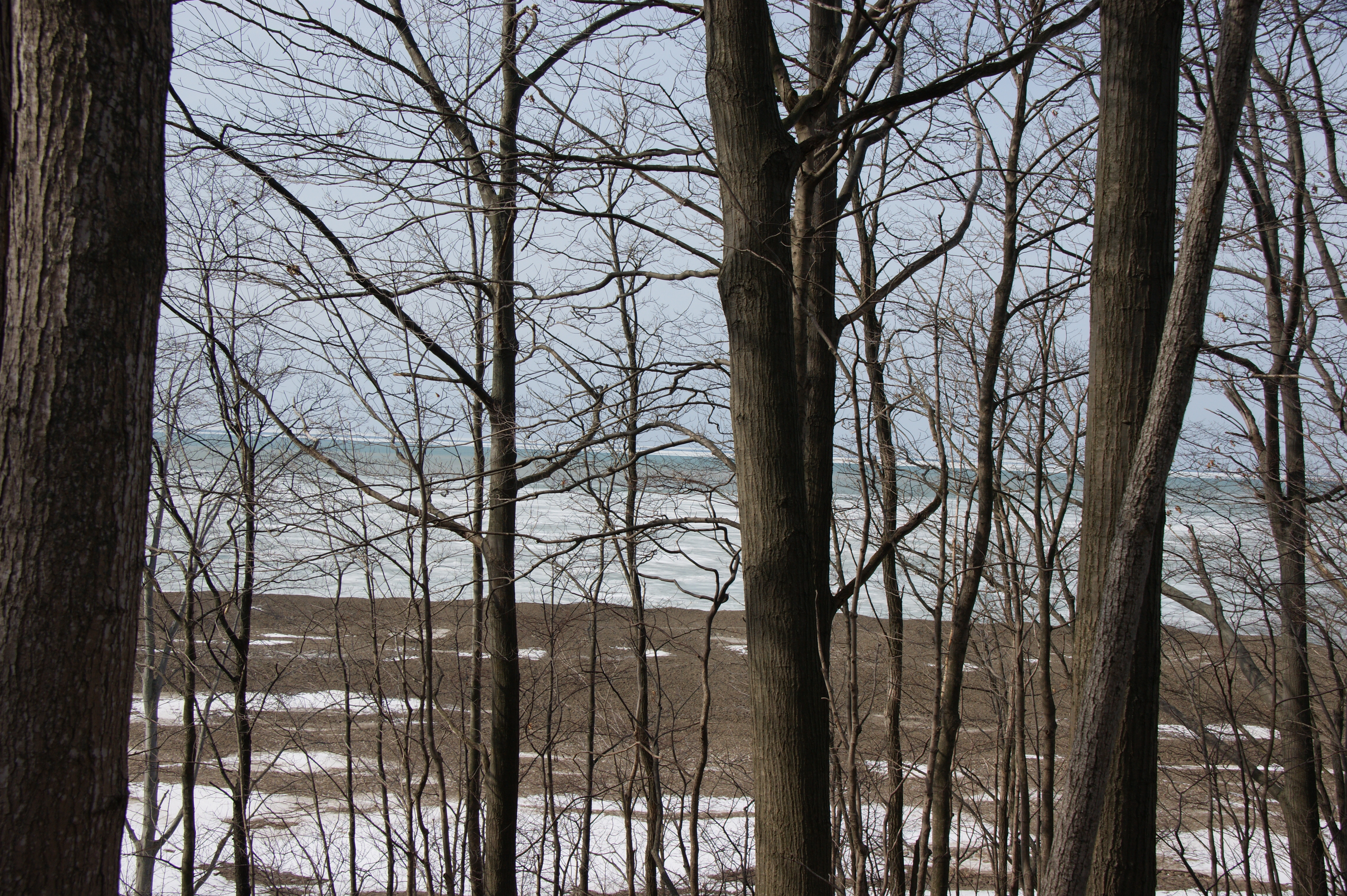
2011-03-17_Lake Huron

Ausable River, Pinery Provincial Park

Kettle Point

September sunset at Ipperwash beach Sunset Water Photography Themes Sky Canada Coast To Coast Landscape Reflection At The Beach Beach Shillouettes Samsung Galaxy S5 Ontario, Canada Outdoors at Ipperwash Beach
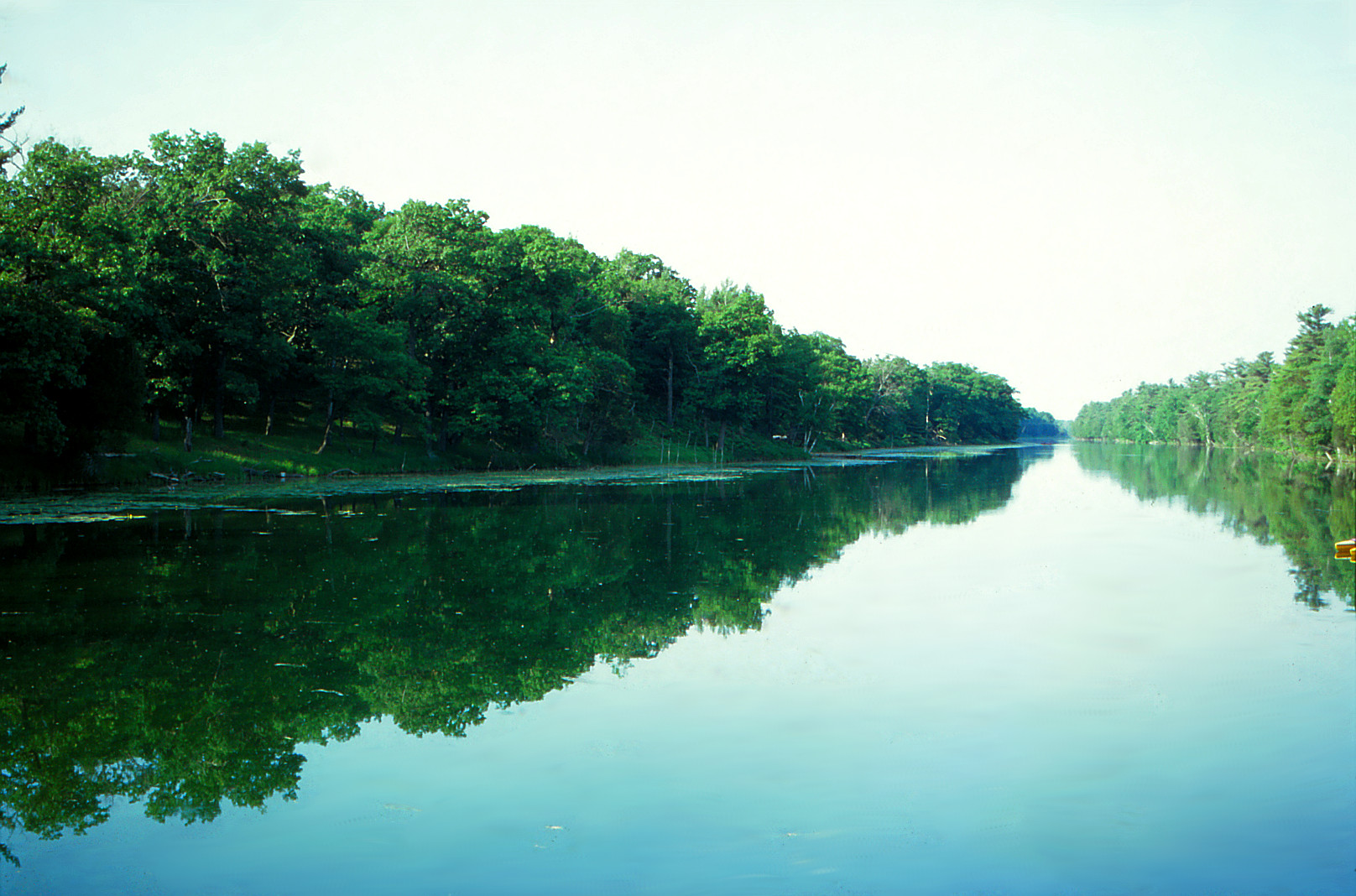
Old Ausable Channel

2011-10-27_The Way In

Riverside Trail

Catch! (11/08/2013)

Dunes Beach at The Pinery

Between two trees Samsung Galaxy S5 Monochrome Black & White Moments In Time! Silhouette Canada Coast To Coast The Great Outdoors - 2017 EyeEm Awards Landscape Rural Roots Tranquility Dusk
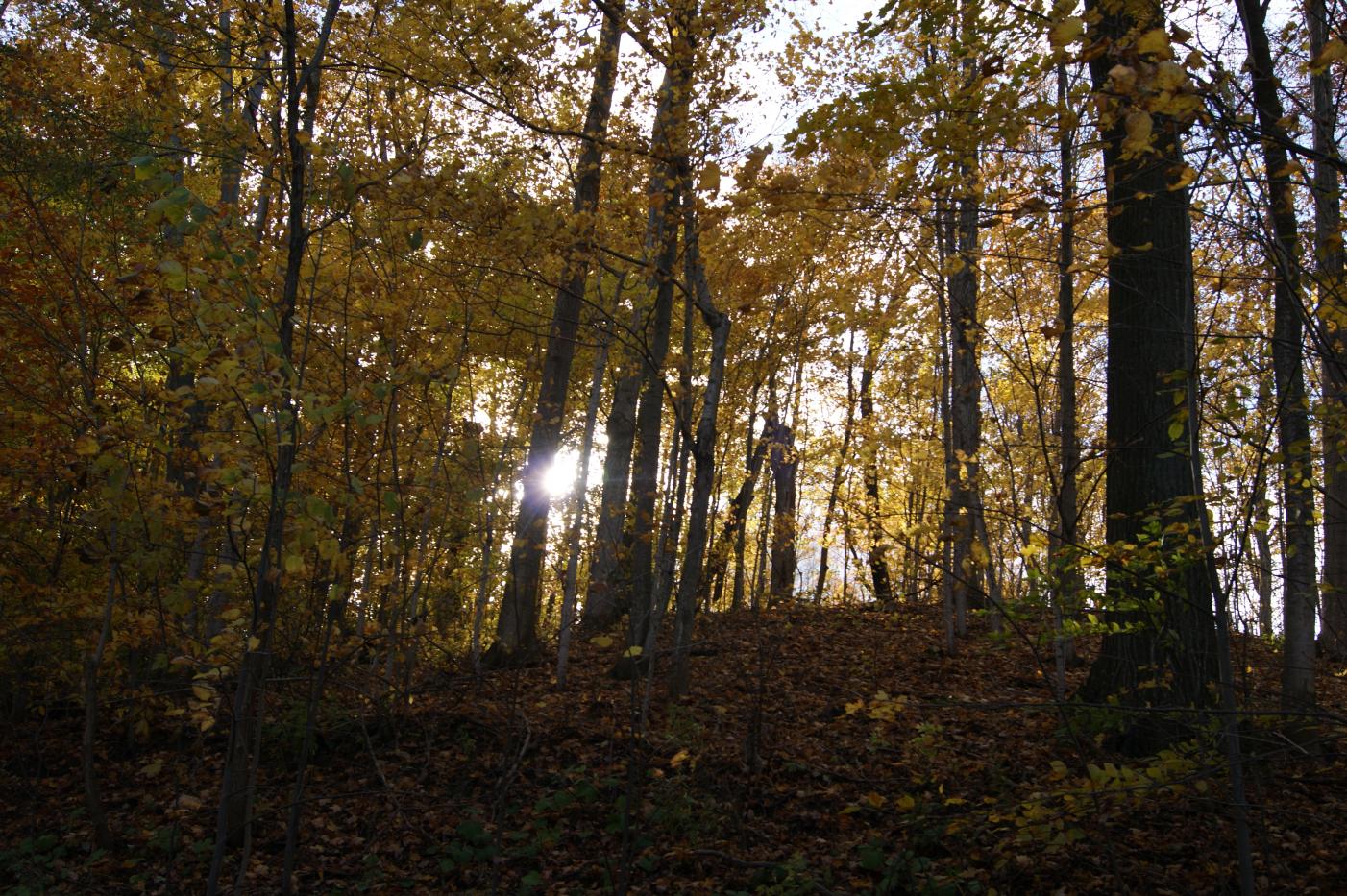
2011-10-27_Through the Forest

DSC_5151.JPG
DSC_5018.JPG

Canoe rentals - Au Sable river at Pinery Park

Time to turnaround

Dance fly trapped in spider web R0011 Ipperwash, ON PFN

Facing NW on the Aussable Channel

2011-10-27_Wavy and Straight

The Ausable (08/08/2013)
Waves at Grand Bend

DSC_5006.JPG

Fly Away

DSC_5463.JPG
Topographic Map of Lake Rd, Ontario N0N 1J1, Canada
Find elevation by address:

Places near Lake Rd, Ontario N0N 1J1, Canada:
6112 Provost Rd
6112 Provost Rd
9518 Lake Rd
6294 Spruce St
Kettle Point Indian Reserve No. 44
9605 Beachway Dr
Lakeshore Rd, Lambton Shores, ON N0N 1J2, Canada
E Parkway Dr, Lambton Shores, ON N0N 1J3, Canada
Oak Ave, Lambton Shores, ON N0N 1J7, Canada
23 Albert St
Forest
Port Franks
Lambton Shores
7159 Uttoxeter Rd
9799 North St
Lambton County
Thedford
80 3rd St
8854 Timberwood Trail
Pinery Provincial Park
Recent Searches:
- Elevation of Fern Rd, Whitmore, CA, USA
- Elevation of 62 Abbey St, Marshfield, MA, USA
- Elevation of Fernwood, Bradenton, FL, USA
- Elevation of Felindre, Swansea SA5 7LU, UK
- Elevation of Leyte Industrial Development Estate, Isabel, Leyte, Philippines
- Elevation of W Granada St, Tampa, FL, USA
- Elevation of Pykes Down, Ivybridge PL21 0BY, UK
- Elevation of Jalan Senandin, Lutong, Miri, Sarawak, Malaysia
- Elevation of Bilohirs'k
- Elevation of 30 Oak Lawn Dr, Barkhamsted, CT, USA