Elevation of Lake Rd, Franklin, VT, USA
Location: United States > Vermont > Franklin County > Franklin >
Longitude: -72.856872
Latitude: 44.9869654
Elevation: 134m / 440feet
Barometric Pressure: 100KPa
Elevation Map:
Satellite Map:
Related Photos:

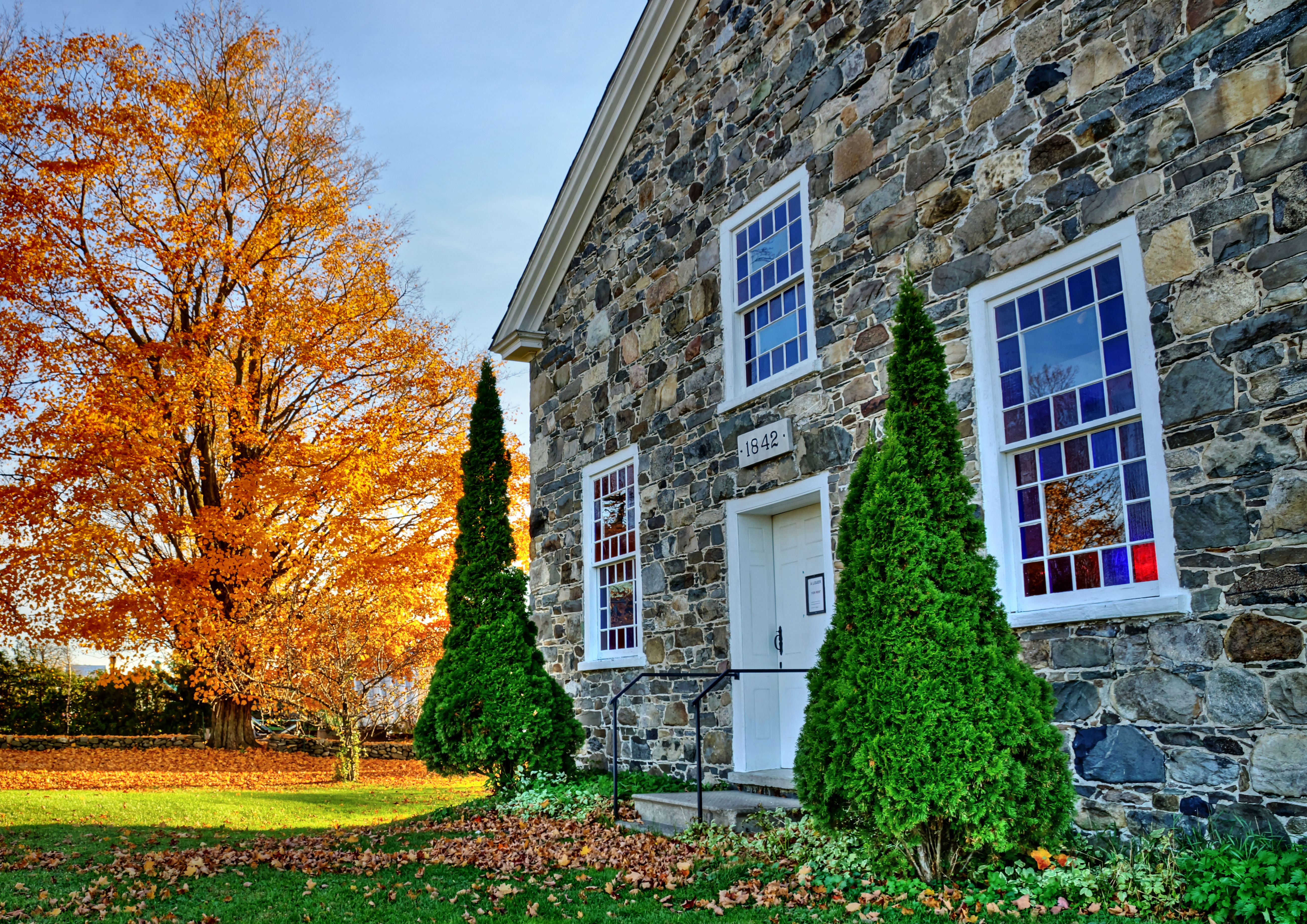
St James the Apostle Anglican Church
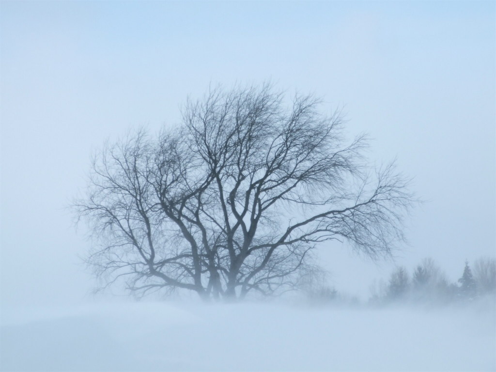
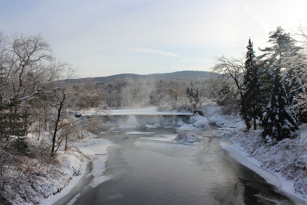
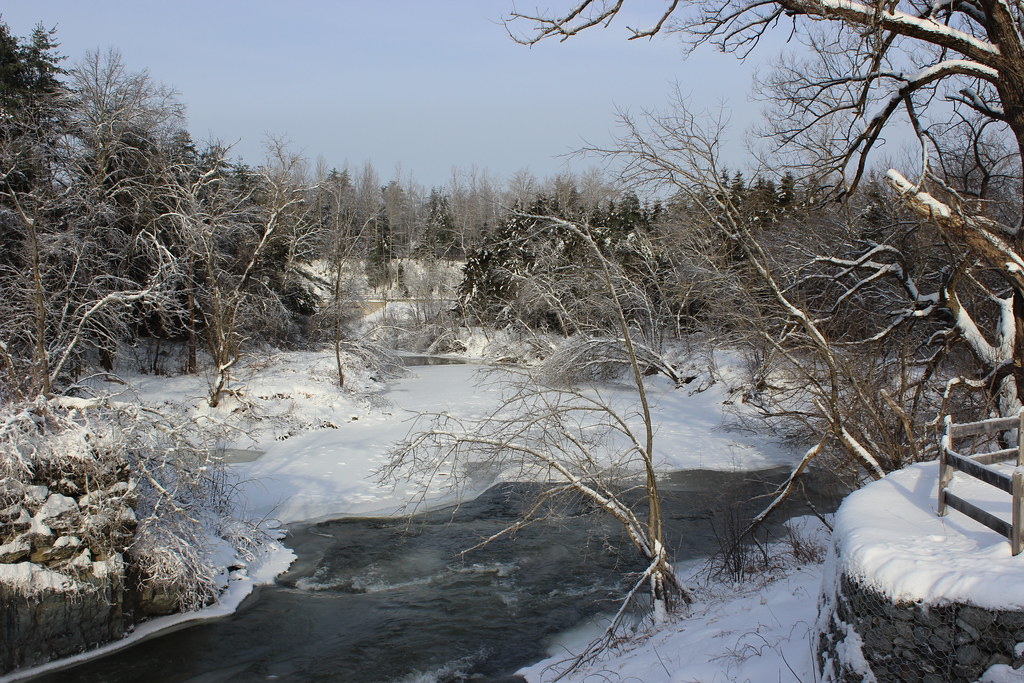
Blizzard Beauty

Lune émaillée
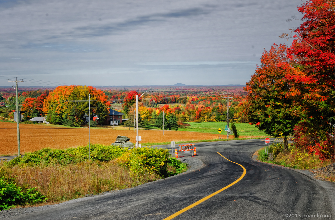
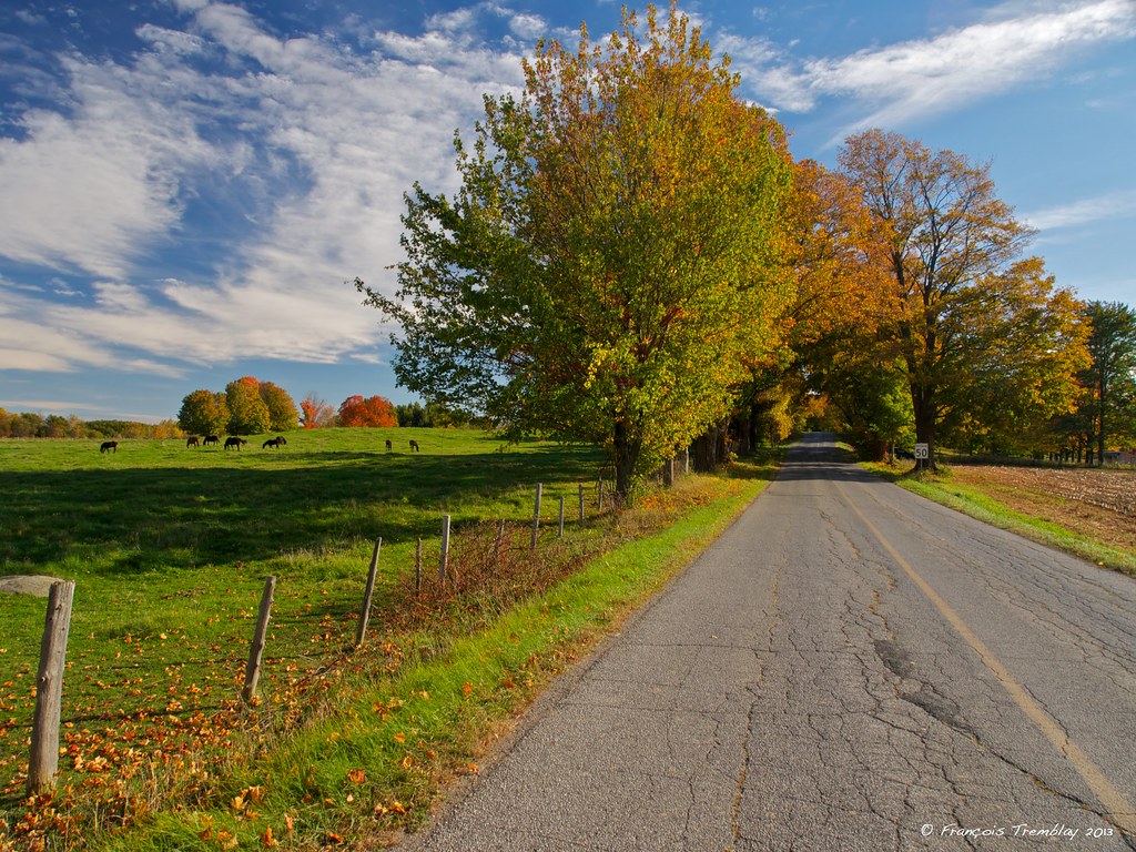
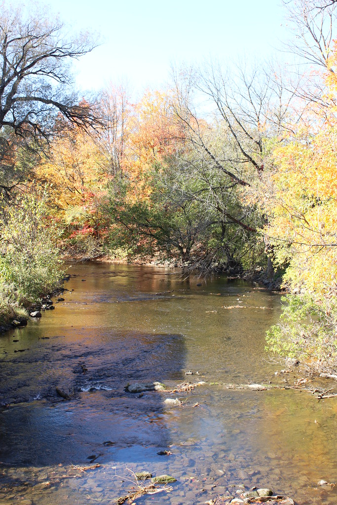
Le chemin Ridge en automne
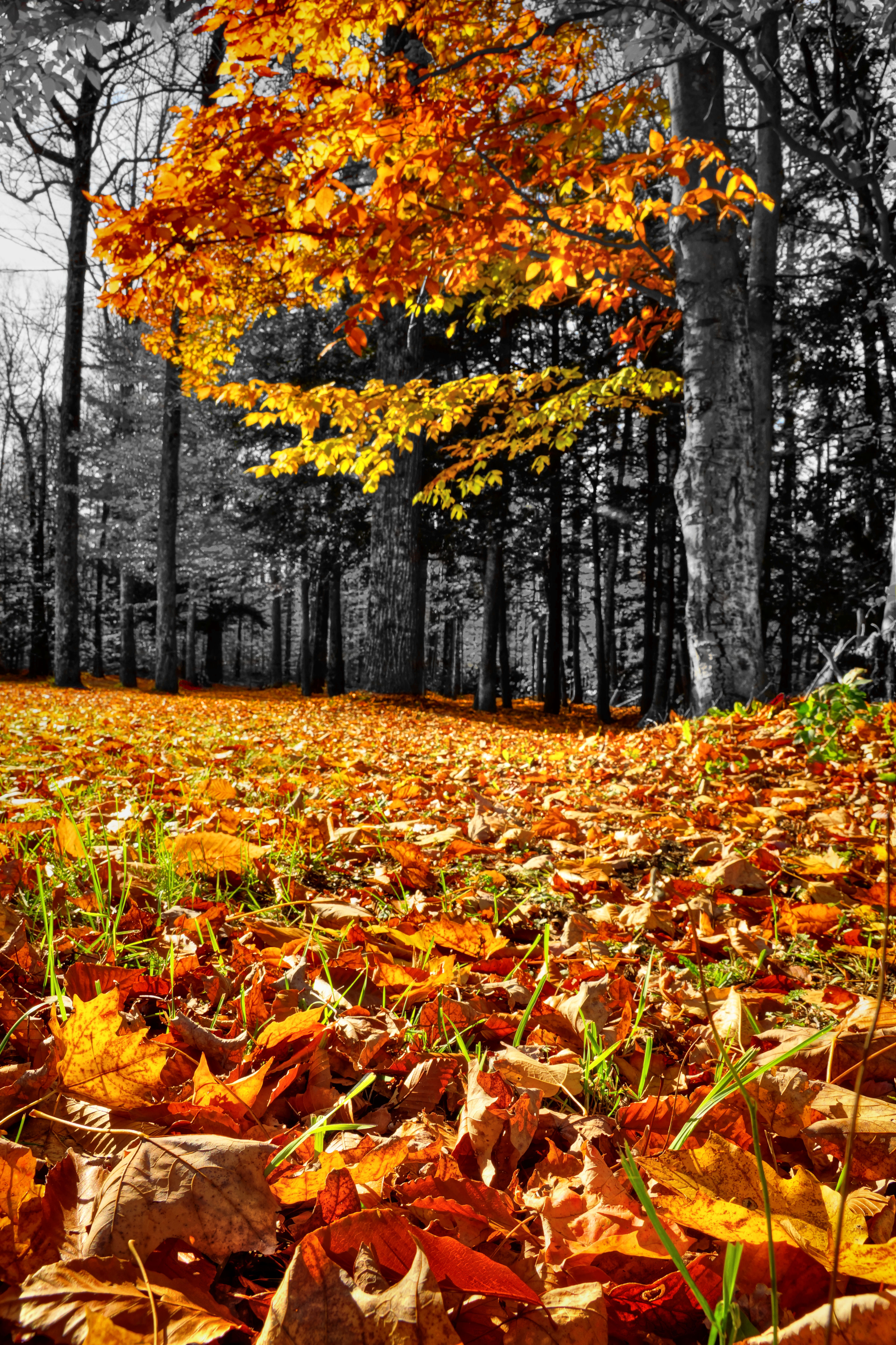
Yellow lead-in line
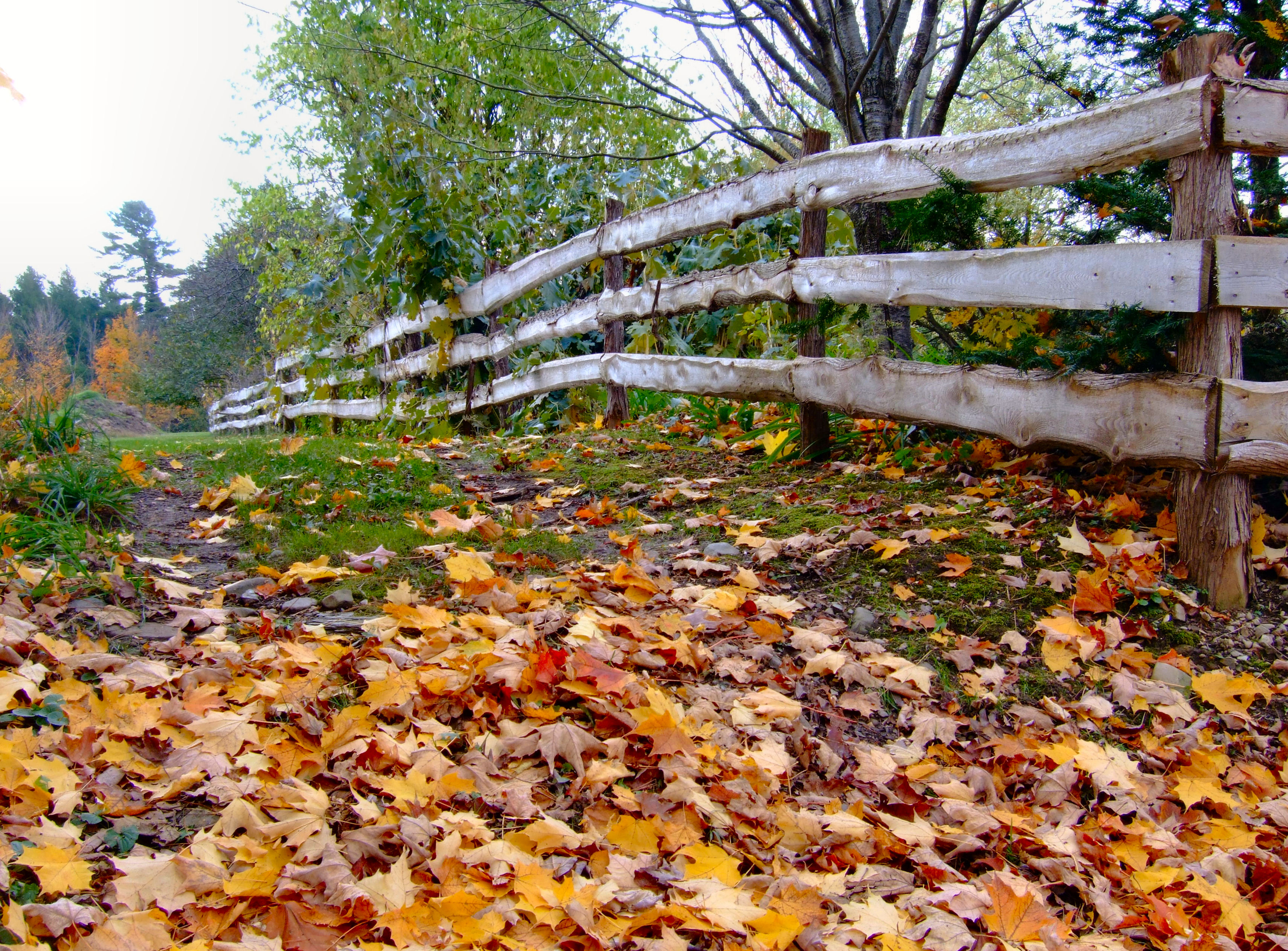
Clôture topographique
L'Esprit de l'automne
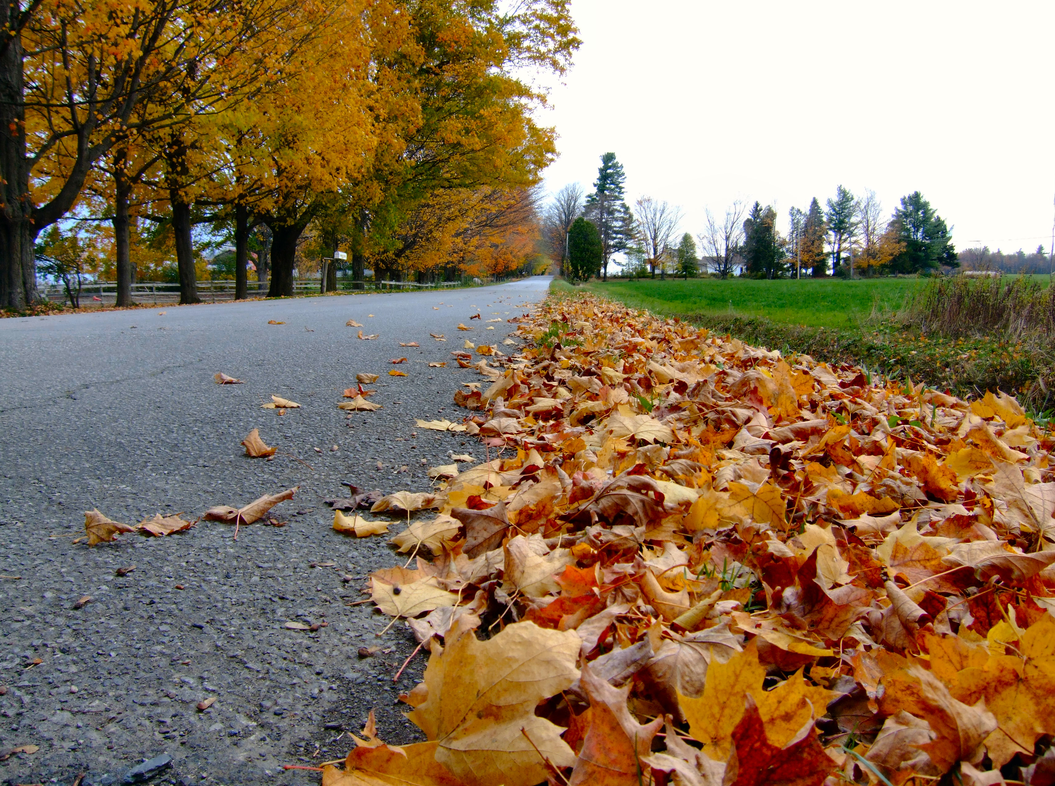
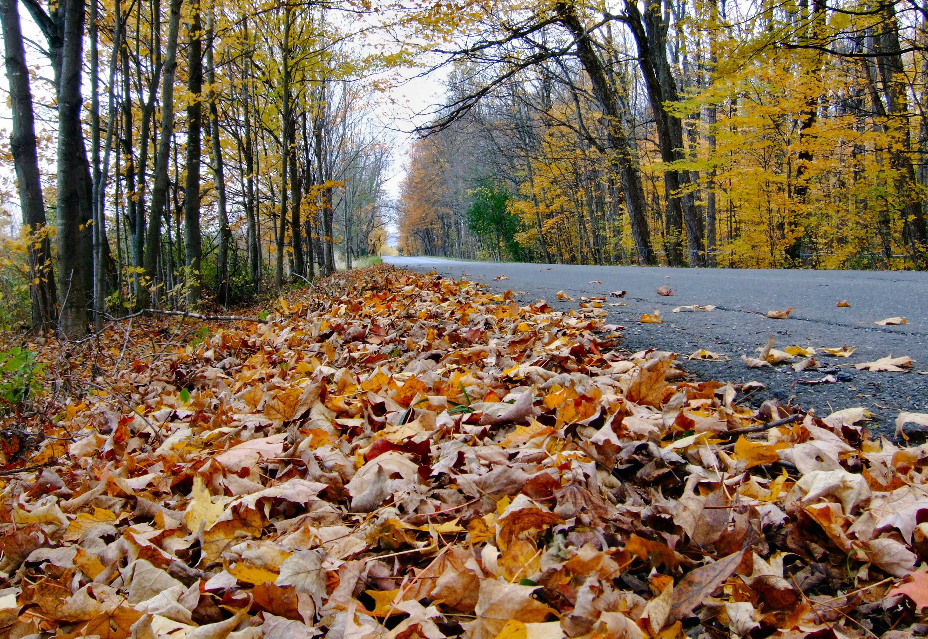
Le chemin Ridge encadré de feuilles
316 Towle Neighborhood Rd 10-2-2009 1-59-26 PM 3648x2736

Domaine Pinnacle, tasting house and patio
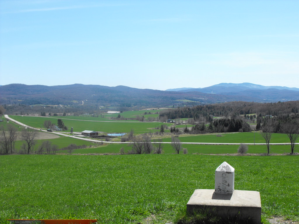
View of Vermont, USA from Canada
Rainy Day #1

Media area
L'automne en vitrail
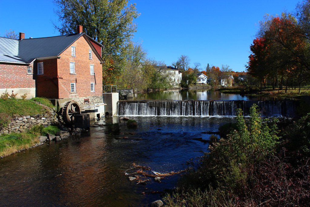
Cornell Mill in Stanbridge East, Qc
Cimetière de Frelighsburg cemetary, Québec, Canada (P0020164)
Paysage pastoral sur le chemin Guthrie à Pigeon Hill / Pastoral landscape on the Guthrie road in Pigeon Hill, Québec (P0020124)
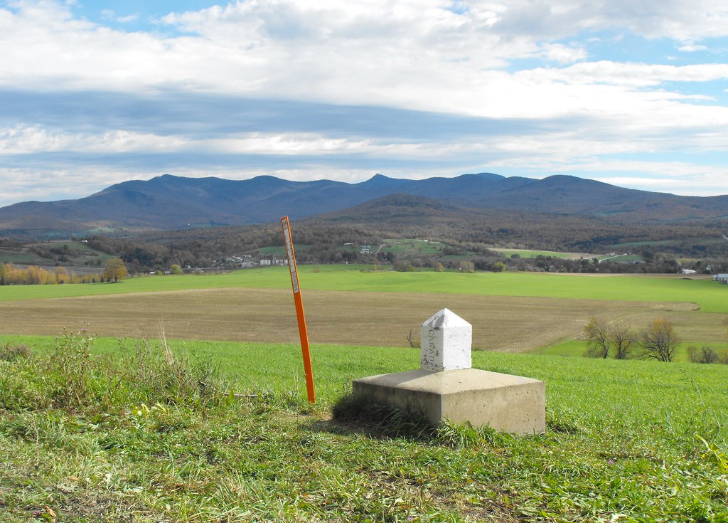
USA-Canada Border
US-Canadian Border Obelisk
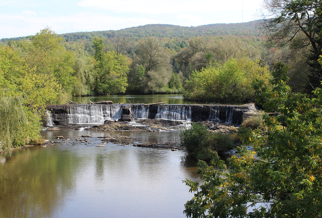
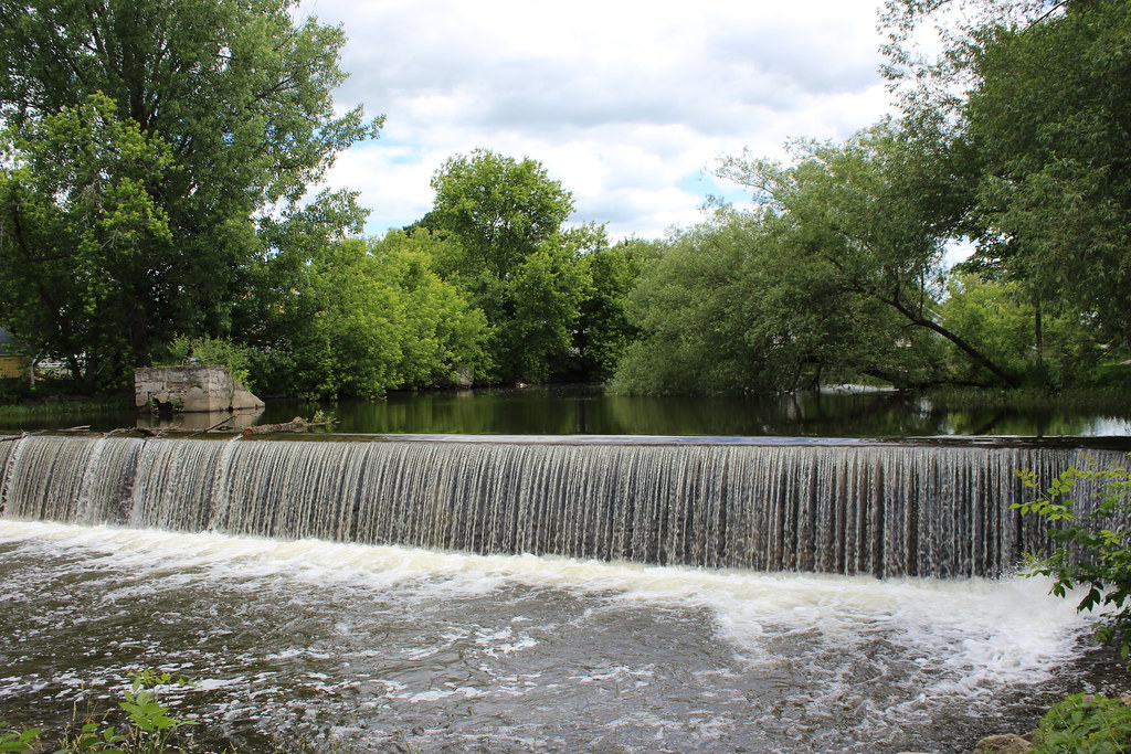
Waterfalls of Sutton River in Abercorn, Qc
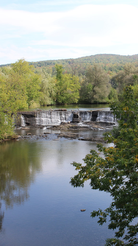
Waterfall in Abercorn
Waterfalls of Sutton River in Abercorn, Qc
Waterfalls of Sutton River in Abercorn, Qc

Waterfalls of Sutton River in Abercorn, Qc

Érable en flamboyance sur le chemin Dutch / Flaming maple on the Dutch road, Saint-Armand, Québec (P0020104)
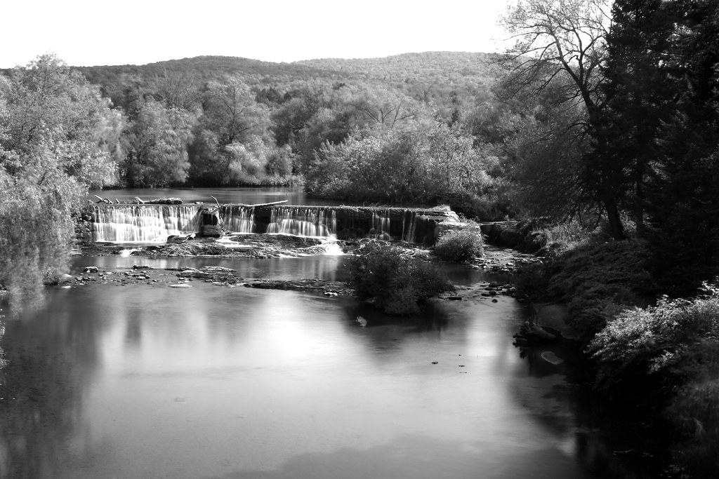
Dam at Cornell Mill

Waterfalls in Abercorn, Qc
Pike River
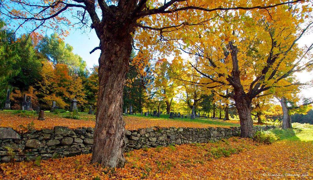
Frelighsburg, Qc Anglican Cemetery

Cornell Mill Dam in Stanbridge East
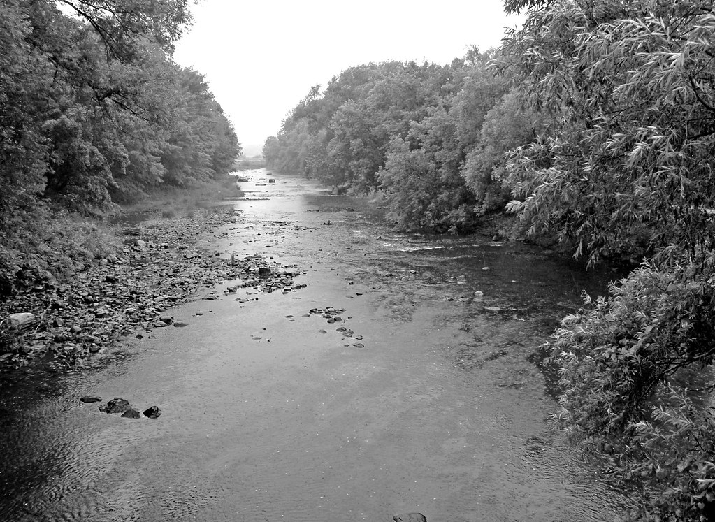
Sutton River in Abercorn, Qc
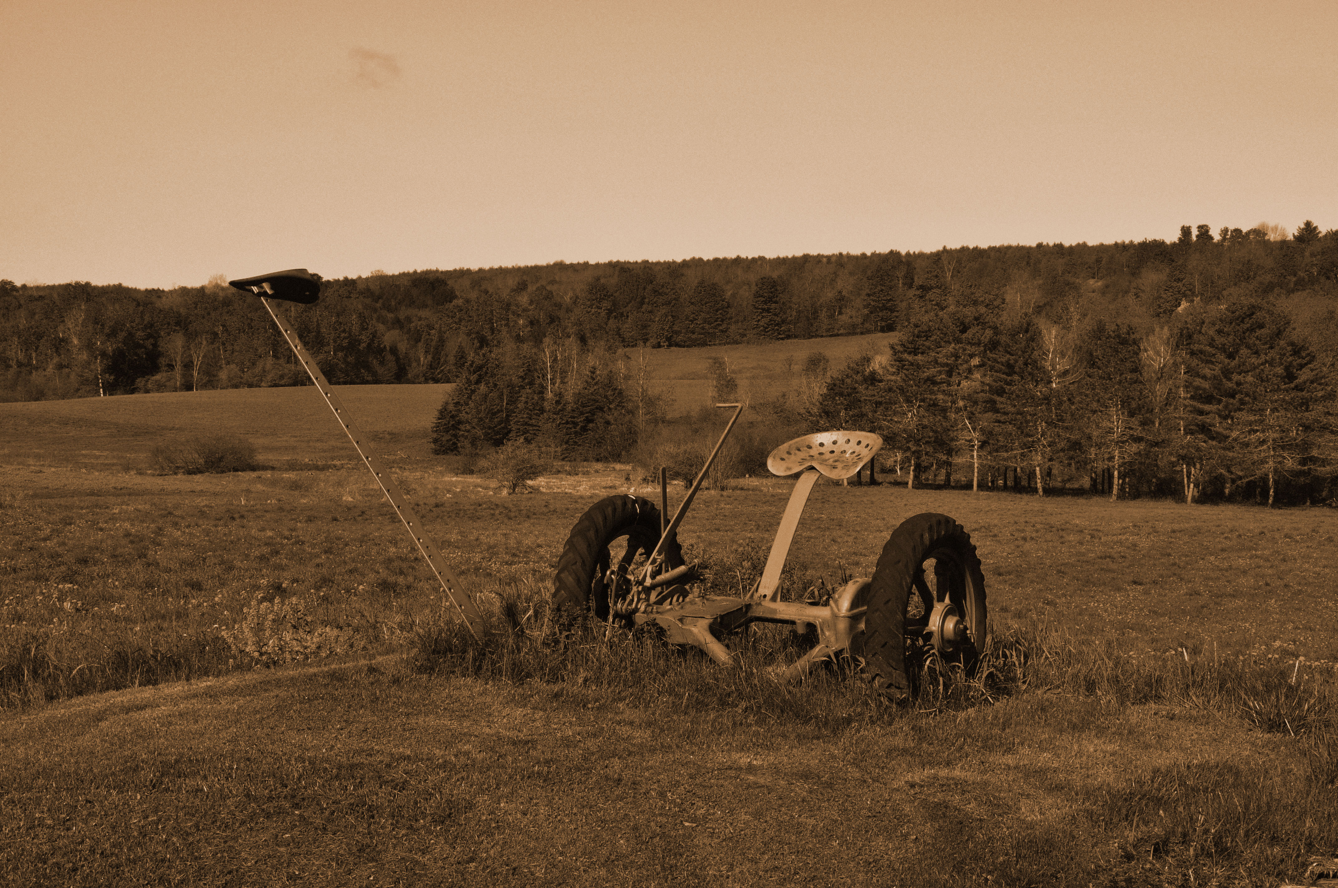
Faucheuse à foin

Paysage pastoral sur le chemin Guthrie à Pigeon Hill / Pastoral landscape on the Guthrie road in Pigeon Hill, Québec (P0020127)
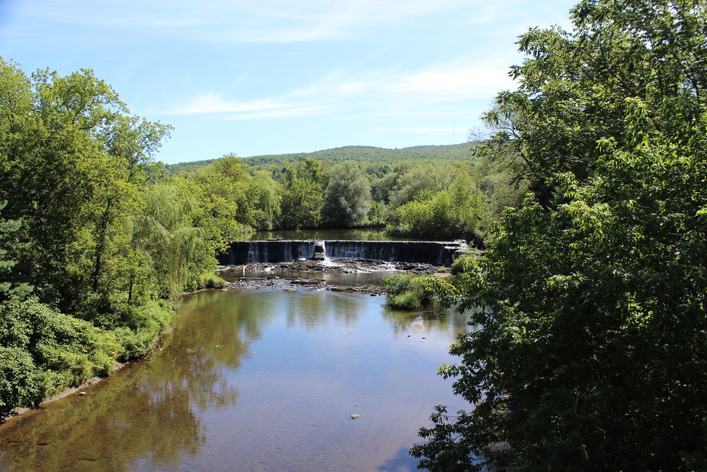
Waterfalls of Sutton River in Abercorn, Qc
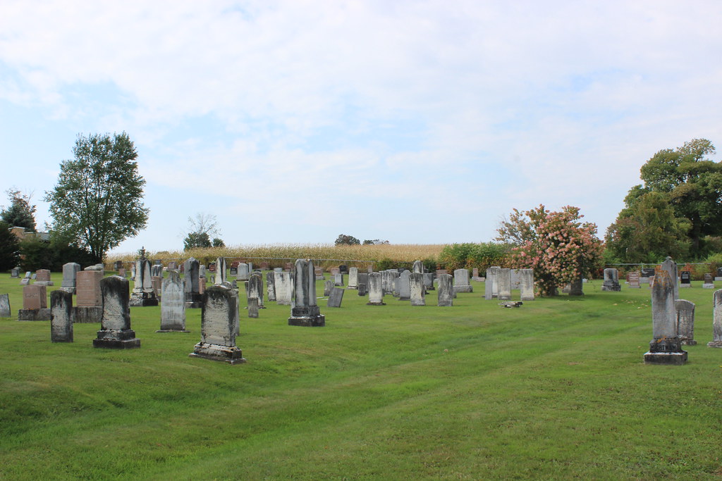
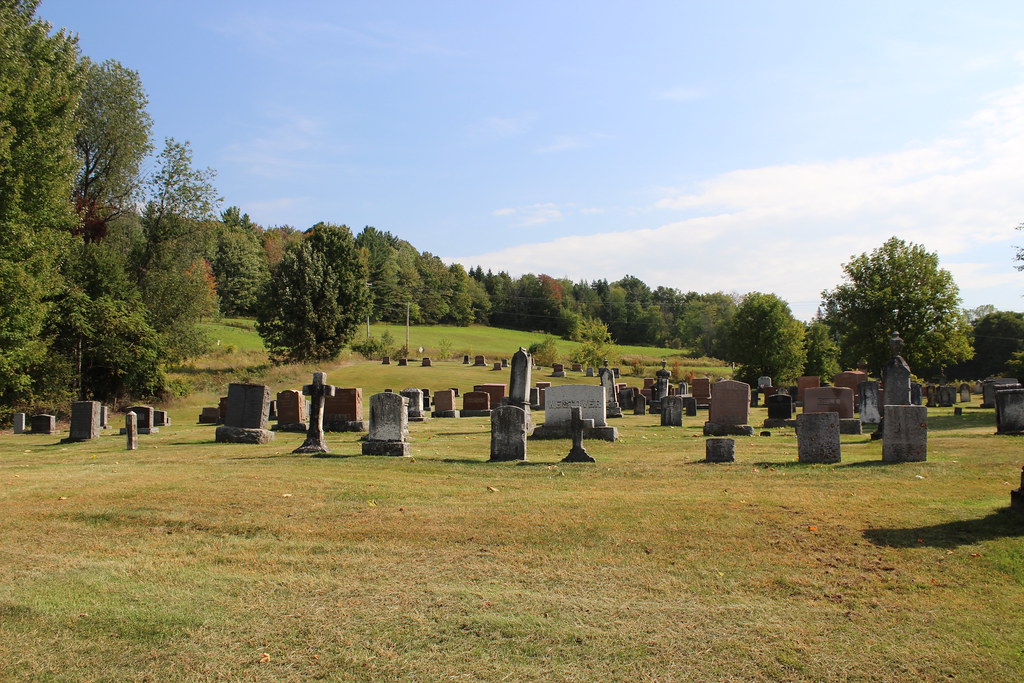
Stanbridge Ridge Cemetery (Protestant)
Topographic Map of Lake Rd, Franklin, VT, USA
Find elevation by address:

Places near Lake Rd, Franklin, VT, USA:
3330 Middle Rd
Tanner Junction Road
Stanley Rd, Enosburg Falls, VT, USA
40 Stanley Rd, Enosburg Falls, VT, USA
Franklin
474 Gilman Rd
531 Gilman Rd
Berkshire
Enosburg Falls
Durkee Rd, Highgate Center, VT, USA
97 Severance Rd, Sheldon, VT, USA
10 Rocky Maple Ln
Tyler Branch Rd, Enosburg Falls, VT, USA
Sheldon
954 Franklin Rd
Franklin County
20 Wanzer Rd
66 Meadow Ln
594 Gagne Rd
Highgate Center
Recent Searches:
- Elevation of Zimmer Trail, Pennsylvania, USA
- Elevation of 87 Kilmartin Ave, Bristol, CT, USA
- Elevation of Honghe National Nature Reserve, QP95+PJP, Tongjiang, Heilongjiang, Jiamusi, Heilongjiang, China
- Elevation of Hercules Dr, Colorado Springs, CO, USA
- Elevation of Szlak pieszy czarny, Poland
- Elevation of Griffing Blvd, Biscayne Park, FL, USA
- Elevation of Kreuzburger Weg 13, Düsseldorf, Germany
- Elevation of Gateway Blvd SE, Canton, OH, USA
- Elevation of East W.T. Harris Boulevard, E W.T. Harris Blvd, Charlotte, NC, USA
- Elevation of West Sugar Creek, Charlotte, NC, USA