Elevation of Lake Rd, Craftsbury, VT, USA

Location: United States > Vermont > Orleans County > Craftsbury >

Longitude: -72.353631

Latitude: 44.608613

Elevation: 320m / 1050feet

Barometric Pressure: 98KPa

Elevation Map:

elevation map of Lake Rd, Craftsbury, VT, USA

Satellite Map:

Satellite map of Lake Rd, Craftsbury, VT, USA

Related Photos:

winter usa snow beer vermont hill brewery farmstead glassofbeer craftbeer hillfarmsteadbrewery hillfarmstead
Enjoying the beer at Hill Farmstead
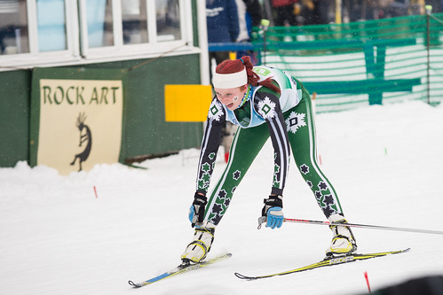
winter students athletics events dartmouth wintercarnival skiteam craftsburyoutdoorcenter
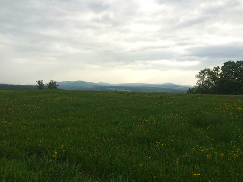
Views From the Green
vegetables gardens spring dirt growing planting sterlingfarm lowercampus lowergardens sterlingcollege beanabern
View from Gardens_1428
coveredbridge vt wolcott fisherbridge lamoilleriver bostonandmainerailroad stjohnsburylamoillecountyrailroad
IMG_1343.CR2
vermont newengland fallfoliage
Drive to Stowe - roadside view 5
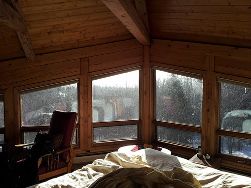
winter cabin vermont newhampshire
Upstairs Cabin View
coveredbridge vt wolcott fisherbridge lamoilleriver bostonandmainerailroad stjohnsburylamoillecountyrailroad
IMG_1350.CR2
vermont newengland fallfoliage
Drive to Stowe - roadside view 1
mobile
Had a great time of fellowship with the Powell family while at Mountain View Campground in Vermont
View of Lamoille Valley from trail lookout at Mt Elmore at Elmore State Park, VT
cheese vermont greensboro acs jasperhill jasperhillfarm
View of the new cave site
greensboro vermont unitedstates us
IMG_0277-2
vermont newengland fallfoliage
Drive to Stowe - roadside view 3
cheese vermont acs jasperhill
View from the front yard
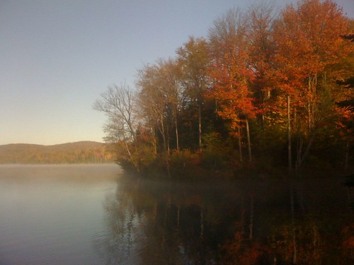
Early AM view at Green River Rez
View from the Sewing Room
2019-06-03 Porter Brook Outlet
2202 blackwhite canon craftsburyoutdoorcenter craftsburyvt highcontrast snow vt vacation vermont winter landscape skiing trees
Tree Line-4290
winter sunset red barn landscape us vermont unitedstates greensboro northeastkingdom nek
Vermont Red Barn Sunset
lake vermont greensboro caspian
Vermont Night Life
vermont summer landscape 2019
Greensboro Vt Green River Res
vt vermont us usa cemetery cimetière unitedstates newengland étatsunis licensed exclusive getty
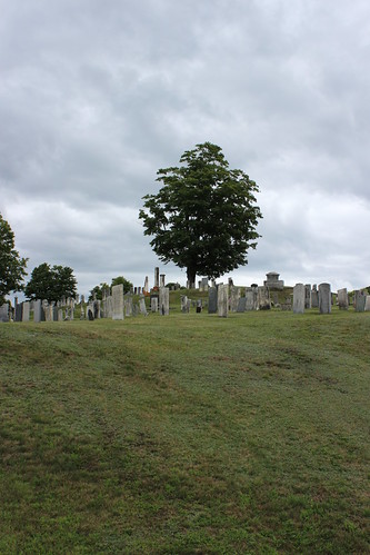
Westlook Cemetery
square sierra squareformat iphoneography instagramapp uploaded:by=instagram
these three.
railroad bridge vermont unitedstates tracks railway historic fisher coveredbridge vt wolcott fisherrailroadbridge
Fisher Railroad Bridge, Vermont (VT-08-16) (DSH_5512-13)
railroad bridge vermont unitedstates tracks railway historic fisher coveredbridge vt wolcott fisherrailroadbridge
A Look Inside - Fisher Railroad Bridge, Vermont (VT-08-16) (DSH_5525-26)
winter students athletics events dartmouth wintercarnival skiteam craftsburyoutdoorcenter
Winter Carnival 2015: "A Clash of Carnivals: Superheroes vs. Villains"
Winter Wonderland
vermont places elmore fall autumn
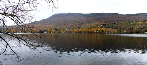
Lake Elmore
bridge vermont coveredbridge woolcott fisherbridge coveredrailroadbridge
Fisher Bridge (Woolcott, VT)
oneaday vermont photoaday roadsideattraction oddity pictureaday project365 project365263 ruralvermont museumofeverydaylife
Museum of Everyday Life (Project 365: 263/365)
vermont circus greensboro smirkus 2011 hbppix
Greensboro Overview
ecology soil biology virginiarussell soilbiology
Soil Biology_2708
flowers sunshine spring vermont farm livestock couds northeastkingdom pollination sterlingfarm sterlingcollege beanabern
Draft Horses_1291
autumn trees usa lake color colour fall colors america us vermont colours united herbst foliage states vt elmore
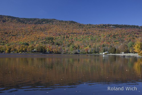
Lake Elmore
vermont places elmore fall autumn
Lake Elmore
flowers sunshine spring vermont farm livestock couds northeastkingdom pollination sterlingfarm sterlingcollege beanabern
The Rian Fried Center for Sustainable Agriculture & Food Systems_1286
waterfall vermont falls waterfalls greenmountains
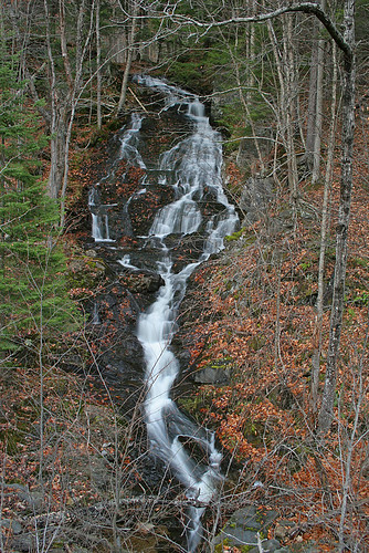
Woodbury Falls