Elevation map of Lake Onega, Russia
Location: Russia >
Longitude: 35.5728934
Latitude: 61.6029212
Elevation: 33m / 108feet
Barometric Pressure: 101KPa
Elevation Map:
Satellite Map:
Related Photos:
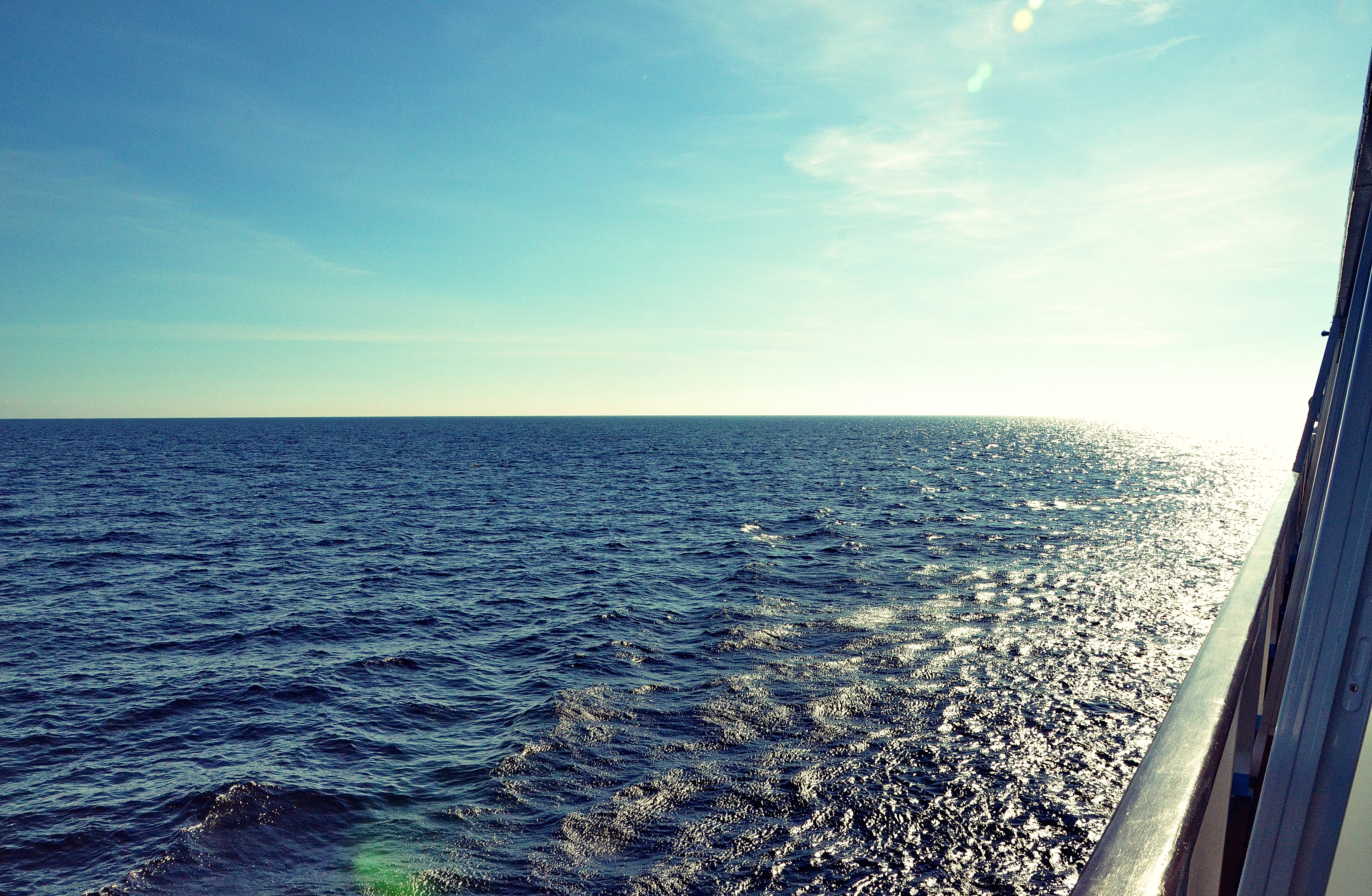
Sailing on Lake Onega, Northern Russia
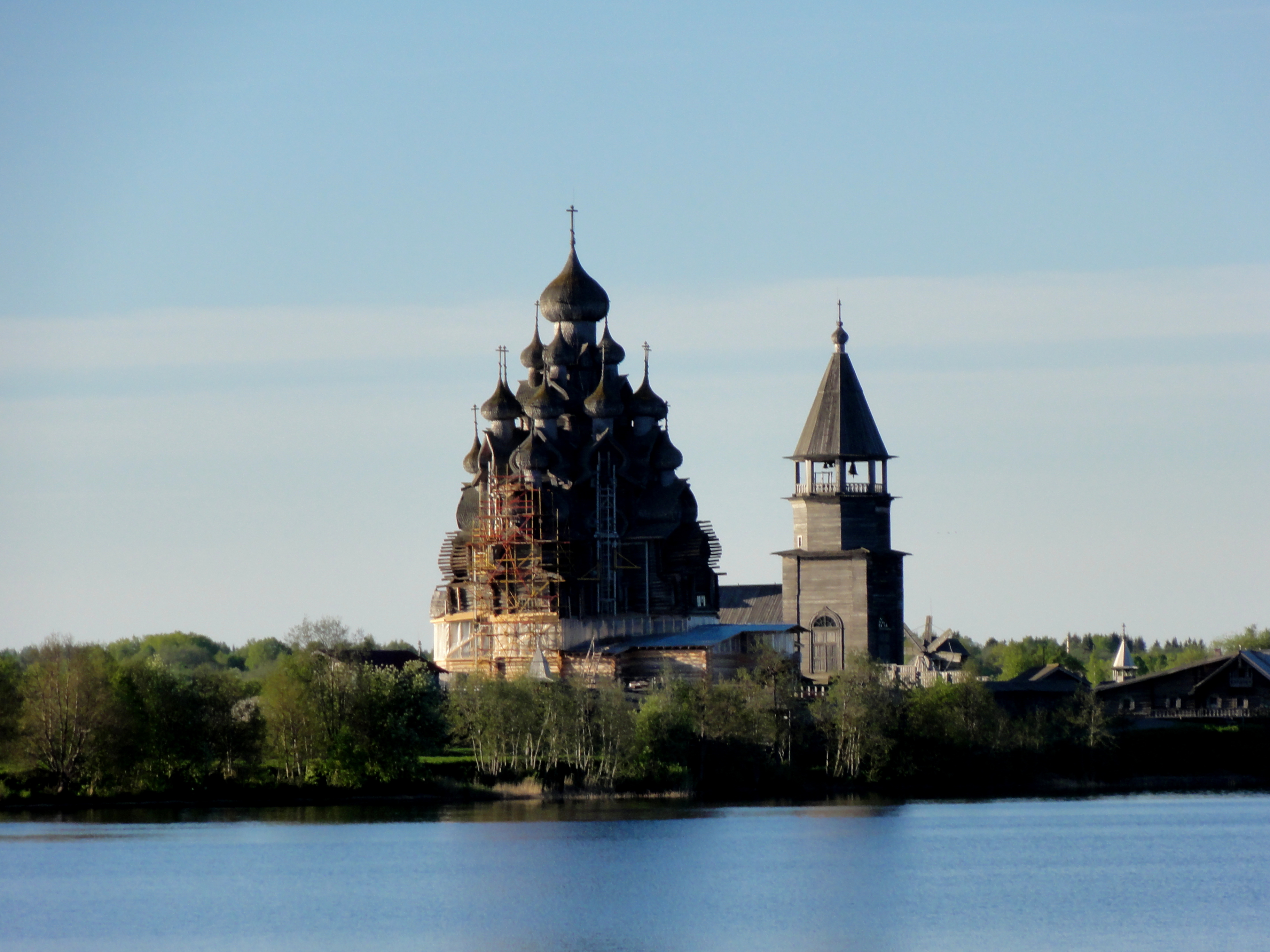
Kiji sur le lac Onega

Irina,sofia,tamara
Bridge of Viking Ingvar
Bridge of Viking Ingvar

The lighthouse of Lake Onega
Topographic Map of Lake Onega, Russia
Find elevation by address:

Recent Searches:
- Elevation of Corso Fratelli Cairoli, 35, Macerata MC, Italy
- Elevation of Tallevast Rd, Sarasota, FL, USA
- Elevation of 4th St E, Sonoma, CA, USA
- Elevation of Black Hollow Rd, Pennsdale, PA, USA
- Elevation of Oakland Ave, Williamsport, PA, USA
- Elevation of Pedrógão Grande, Portugal
- Elevation of Klee Dr, Martinsburg, WV, USA
- Elevation of Via Roma, Pieranica CR, Italy
- Elevation of Tavkvetili Mountain, Georgia
- Elevation of Hartfords Bluff Cir, Mt Pleasant, SC, USA